Active Volcanoes in Iceland: Where to See Them Safely
Last updated November 2026: active volcanoes in Iceland number about 35 on and around the island by a commonly cited count. Hekla, Katla and Grímsvötn are the best-known systems. "Active" is a scientific label, not a promise of lava, so check the Icelandic Met Office before you plan around any of them.
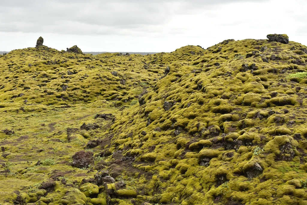
Featured image: joiseyshowaa, CC BY-SA 2.0, via Flickr.
Which volcanoes in Iceland are active?
Iceland sits on the Mid-Atlantic Ridge, the boundary between the Eurasian and North American plates. Volcanoes along that line keep the island's count high. Agencies define "active" differently, usually as a volcano that has erupted in recent geological time, so totals shift with the definition. Geology is covered in why Iceland has so many volcanoes. Size comparisons sit in our biggest volcano guide. An active volcano is usually quiet on the day you visit, and live lava is the exception. Our Iceland volcanoes overview gives the wider picture.
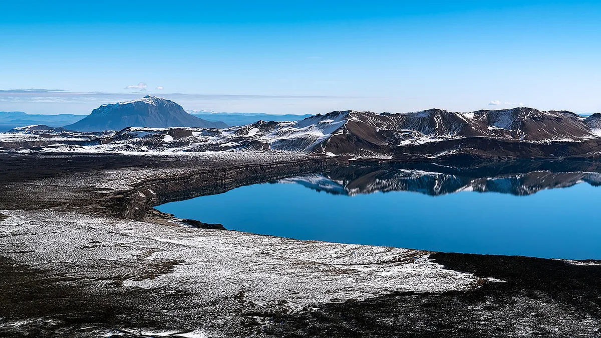
The main active systems at a glance
These are the systems most travelers hear about. Dates below are historical context, not forecasts.
Katla's gaps of 40 to 80 years between eruptions show why 'active' doesn't mean erupting this year.
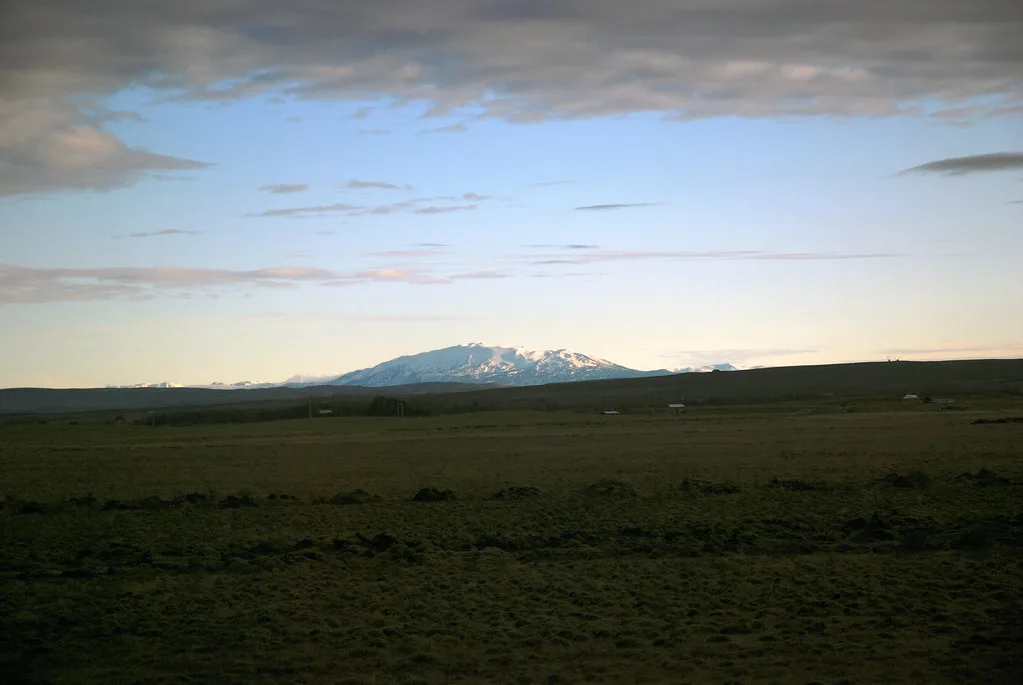
- Hekla: often described as Iceland's most active volcano, at 1,490 m. Its 2000 eruption sent a lava flow 7 km long.
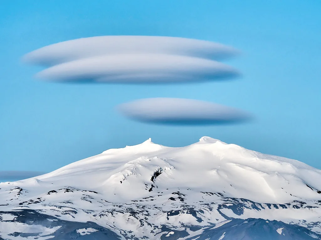
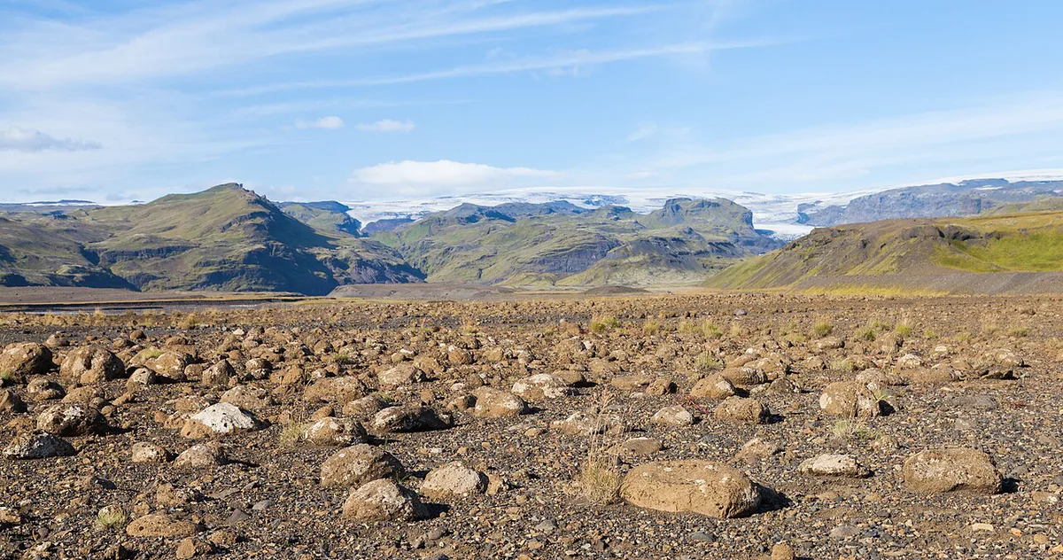
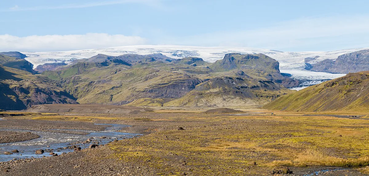
- Katla: sits under the Mýrdalsjökull glacier. Its last major eruption was in 1918, and historical gaps have run 40 to 80 years. That is a pattern, not a prediction.
- Grímsvötn: part of the system behind the 1783 to 1785 Laki eruptions. Read the Grímsvötn under Vatnajökull guide.
- Bárðarbunga: another glacier-covered system. Its lava landscape is covered in our Bárðarbunga guide, and the nearby plain in the Holuhraun lava field guide.
- Askja: a remote highland caldera that needs highland road planning.
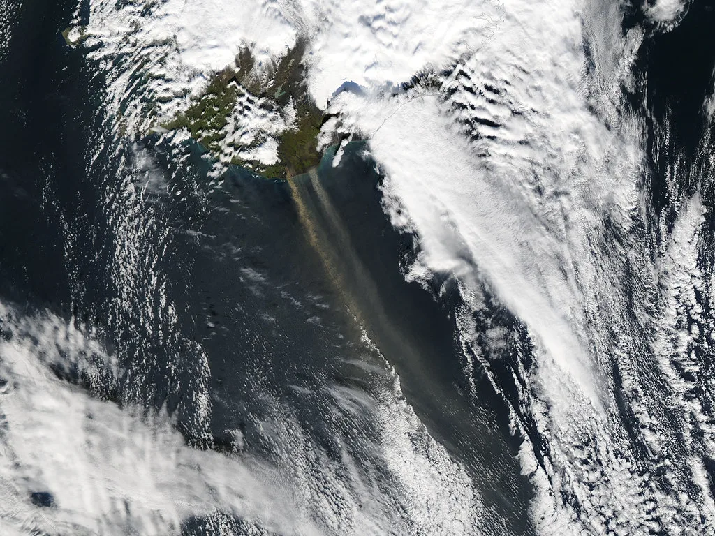
- Eyjafjallajökull: its last long eruption ran from December 1821 to January 1823. Its 2010 ash cloud grounded much of northern European air traffic.
- Öræfajökull: a glacier-capped volcano, described in our Öræfajökull guide.
- Reykjanes Peninsula and Fagradalsfjall: a fissure and geothermal zone close to Reykjavík. Start with the Krýsuvík geothermal area.
Where you can actually see volcanic landscapes
Sort volcanoes by access, not by name. Near Reykjavík, short walks reach craters such as Grábrók crater, Saxhóll crater and Eldborg Crater, Iceland: Walk, Access & Which Eldborg to Visit. Steam fields work as a geothermal stop at Gunnuhver. Hikers can head for the Hengill geothermal ridges. On Heimaey, a 1973 eruption forced about 5,300 residents onto the fishing fleet and destroyed about 400 homes. You can climb Eldfell volcano on Heimaey today. The story is told indoors at the Eldheimar museum. Surtsey appeared in 1963 and is restricted to scientists, so visitors cannot land. Read our Surtsey guide for the background, and see the Surtsey Research Society for access details. Lava shows indoors are an option too, as in Reykjavík's lava show. Wider lava terrain is covered in our lava fields guide, with a mossy example at Eldhraun and a coastal one at Rauðhólar.
| Place | Access | Best season | Effort | Who should skip it |
|---|---|---|---|---|
| Grábrók, Saxhóll, Eldborg | Drive, then short walk | Summer for easiest conditions | Low to moderate | Anyone with icy-path concerns in winter |
| Krýsuvík, Gunnuhver | Drive, boardwalk or short walk | Year-round, weather permitting | Low | Anyone sensitive to sulfur smell and steam |
| Eldfell and Eldheimar, Heimaey | Ferry or flight, then walk | Summer for the climb; museum year-round | Moderate | Those with limited time or rough-sea concerns |
| Kerlingarfjöll, Hveravellir, Holuhraun | 4x4 on F-roads | Summer only; roads open seasonally | High | Standard rental drivers and day-trippers |
| Grímsvötn, Öræfajökull, Bárðarbunga | Guided tour or specialist vehicle | Summer for most access | High | Independent travelers without glacier experience |
| Lava show, Reykjavík | Walk or short ride in town | Year-round | Low | Anyone expecting a real eruption |
Fagradalsfjall and Meradalir: Reykjanes lava fields you can walk to
The Reykjanes Peninsula is the part of Iceland where an eruption is most likely to happen within a day's drive of the capital. Fagradalsfjall is a low mountain on the peninsula. Its eruptions were fissure eruptions that opened in the nearby valleys, rather than the cone-shaped, glacier-capped type seen at Katla or Öræfajökull. After a long quiet spell, the first eruption filled the Geldingadalir valley. Later eruptions followed in Meradalir and at Litli-Hrútur. Further eruptions along the Sundhnúkur crater row near Grindavík have led to repeated closures around the town and the Svartsengi area.
What this means for a visit
- Expect the ground to be closed or open depending on the week. Hiking trails to the Fagradalsfjall lava fields have been shut during unrest and reopened afterward. Check the Icelandic Met Office and Safetravel Iceland on the day you go, as covered above.
- The lava is young and rough. Cooled flows have sharp edges and may hide hot pockets and gas. Wear sturdy boots, keep to marked paths, and don't walk onto fresh lava.
- Gas can build up in low spots. Volcanic gas collects in hollows and valleys, especially on still days. Leave the area if you smell sulfur or feel unwell, and don't take children or anyone with breathing problems into closed zones.
- Allow half a day. The drive from Reykjavík is roughly 40 to 50 minutes depending on the trailhead, and the walk adds several hours. Daylight is short in winter, so carry a headlamp.
For a route with less uncertainty, our volcano hike guide compares trails by difficulty and season. If the Reykjanes lava is closed, the Lava Centre on the south coast explains Hekla, Katla and Eyjafjallajökull with exhibits and works in any weather.
How to check eruption status and closures before you go
Check official sources on the day you travel, because status changes quickly. A years-old article cannot tell you what is open now.
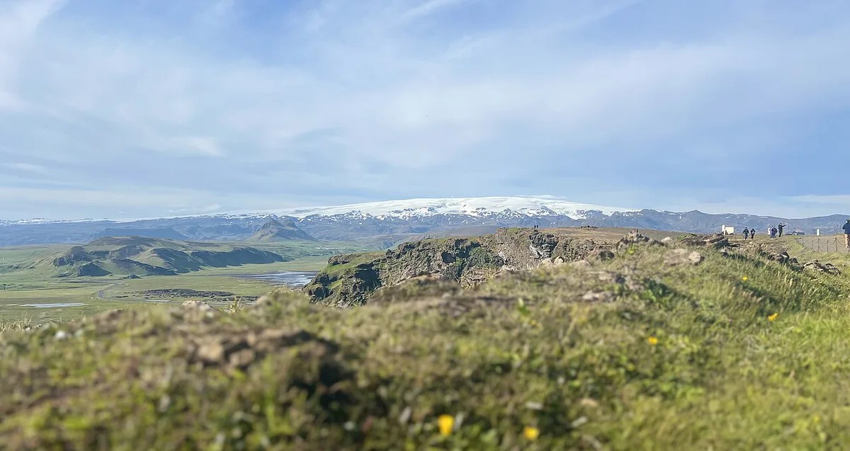
- Eruption and hazard updates: the Icelandic Met Office.
- Travel advisories and alerts: Safetravel Iceland.
- Road and F-road closures: road.is.
- Closure zones: notices from Civil Protection.
- Glacier-area access: Vatnajökull National Park.
Self-drive, tour or museum: choosing by time, budget and season
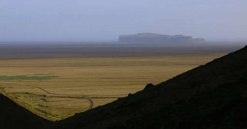
Day trips from Reykjavík cover the craters, steam fields and lava show. Highland sites such as Kerlingarfjöll and Hveravellir need a multi-day plan, a 4x4 and summer road access. A rental 4x4 costs more than a standard car at budget-to-mid level, while a guided tour usually sits at mid-to-premium. Operators set their own fees, so read them on the operator's page. Compare options in our volcano tours guide. Winter brings short daylight and more closures. A museum or show makes a weather-proof fallback when a site is shut. For the geothermal side trip, see Geysir, which is a hot-spring field rather than a volcano.
Common mistakes and who should skip the highlands
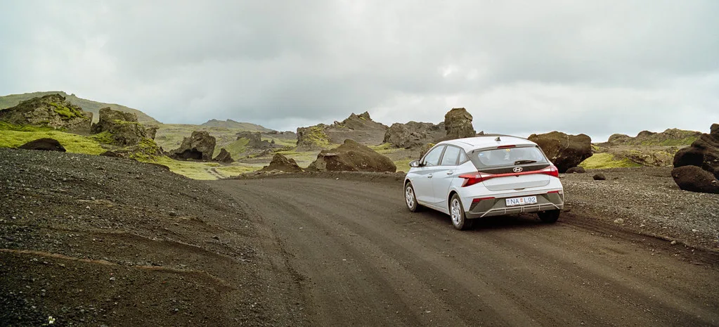
Treating "active" as "erupting" is the most common error. Ignoring a closure zone is the most dangerous one. Driving an F-road in a non-4x4 is the most expensive. Relying on old news for status is the easiest to avoid. Travelers without 4x4 experience, or those short on time, should skip the highlands and use the near-Reykjavík craters or Heimaey instead. For current events, see our Iceland volcano eruption page. Safety questions go to our eruption travel safety guide. A visual overview is on the Iceland volcano map.
Taking a non-4x4 onto an F-road is the costliest slip, and Holuhraun is reachable only in summer.
Frequently Asked Questions
Is the volcano in Iceland active right now?
Iceland has many active systems, but eruption status changes and no article can state it for today. Check the Icelandic Met Office for the current picture. Then read the safety guidance before you travel.