Volcanoes in Iceland Map: Where They Are & Which to Visit
Last updated November 2026: this volcanoes in Iceland map guide starts with the short answer. Iceland's volcanoes follow a diagonal belt from the southwest to the northeast, with a branch running offshore in the south. Map caption: schematic text map of the Reykjanes Peninsula, the Western, Southern and Northern Volcanic Zones, Snaefellsnes, the Westman Islands and Vatnajökull. For geology in depth, our explainer on Iceland's volcanism picks up where this page stops.
Featured image: Jakub Hałun, CC BY 4.0, via Wikimedia Commons.
Iceland volcano map at a glance
Read the island as a diagonal belt. Eruptions cluster where the Mid-Atlantic Ridge crosses Iceland, from the Reykjanes Peninsula in the southwest through the highlands to the north. Three belts carry most of the activity: the Western, Southern and Northern Volcanic Zones. Snaefellsnes in the west and the off-axis Oraefajokull and Snaefell belts sit apart from that main line. For a base map, the Land Survey of Iceland publishes official national mapping. Use any map as a planning layer only.
- Active: has erupted in historical times or shows ongoing unrest.
- Recently erupted: activity within living memory, often with fresh lava you can see.
- Dormant: quiet now, but not ruled out.
- Visitable: a separate question. Road, weather and closures decide it, not the volcano's status.
Volcanoes by region
Groups below follow the map from the southwest around to the highlands. Access types are general. Conditions can change within a day, so check live sources before driving.
| Region | Notable places | Access type | Best for |
|---|---|---|---|
| Reykjanes Peninsula and Southwest | Krysuvik, Gunnuhver, Saxholl Crater (Saxhóll): Climb, Directions & Visit Tips | Roadside or short walk | Craters and steaming ground close to Reykjavik |
| Hengill area | Hengill | Hike | Geothermal trails |
| South and Southern Highlands | Eldhraun lava field, Oraefajokull, Geysir | Roadside, with some guided options | Lava fields, a glacier-capped volcano and hot springs |
| Westman Islands | Eldfell, Surtsey, Eldheimar | Eldfell and the museum are visitable; Surtsey is restricted | A buried-town story and a new island |
| Vatnajökull and Northern Highlands | Grimsvotn, Bardarbunga, Holuhraun | Guided or highland trip; often view-only | Large, remote eruption landscapes |
| Central Highlands | Kerlingarfjoll, Hveravellir | Highland trip | Geothermal valleys and rhyolite mountains |
| West | Grábrók Crater: Route 1 Stop, Climb Time and Tips | Short walk | A quick crater climb |
Which volcanoes can you actually visit?
Split the map by effort, not by fame. A pin on a map is not an access guarantee.
- Roadside or short walk: Krysuvik, Gunnuhver and Grabrok crater. Skip these if closures or gas warnings are posted for the area.
- Day trip from Reykjavik: Eldhraun, Geysir and the Westman Islands. Skip them if you only have a few hours or a dislike of ferries and long drives.
- Highland or guided: Grimsvotn, Bardarbunga, Holuhraun and Kerlingarfjoll. Skip these without a suitable 4x4 vehicle or river-crossing confidence.
Active vs dormant: how to read the map correctly
Active, recently erupted, dormant and extinct answer different questions from whether you can go there. Third-party maps use colors that are the publisher's own interpretation and carry no official standing. Treat them as a pointer, then confirm on an official source. Our guide to Active Volcanoes in Iceland: Where to See Them Safely explains the vocabulary in more depth. If you want the largest single peak, see the Biggest Volcano in Iceland: Öræfajökull Explained.
Check conditions before you go
Eruptions have been ongoing on the Reykjanes Peninsula in recent years, so treat any status as time-sensitive. The Icelandic Met Office handles volcano monitoring and hazard information. For closures and road conditions, use Safetravel Iceland. Gas can drift well beyond the eruption site, and wind direction changes daily. Closures can start or end within hours. Our page on travel during an eruption covers the practical rules. For recent events, read about the Iceland Volcano Eruption: What It Means for Your Trip history.
Time, cost and access trade-offs
Match the trip to your time and vehicle. Reykjanes sites suit a half-day from Reykjavik. The south works as a full day. Highland sites need a full day or more, and F-roads open only in summer. Winter brings short daylight and road closures. Self-driving gives flexibility, while a guide handles river crossings and conditions. Compare options in our guide to Iceland Volcano Tour: Types, Timing and How to Choose. Download offline navigation before remote drives, because coverage is patchy.
Easy volcano experiences if you're short on time
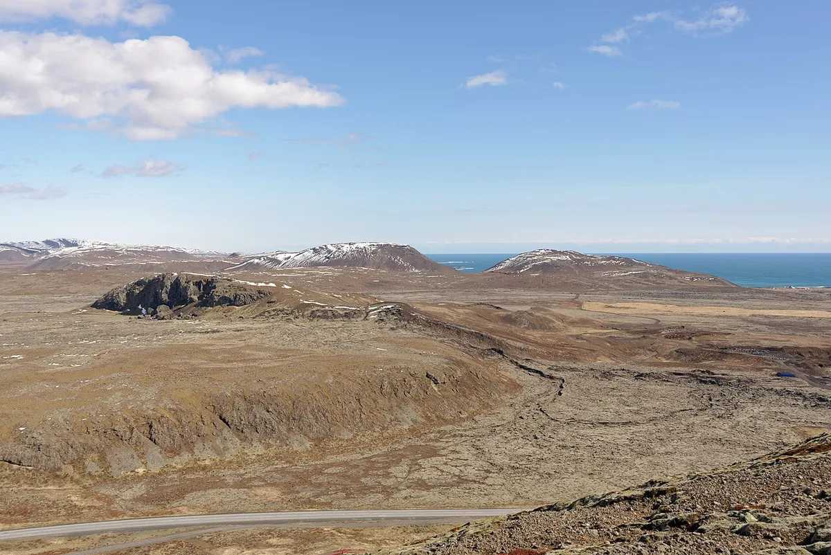
A cheap stop can beat a long highland trip. Indoors, the lava show in Reykjavik pours real molten rock, and the official site lists current times. In the Westman Islands, Eldheimar museum tells the Eldfell eruption story. Closer to the capital, walk the rim at Krysuvik or climb Grábrók Crater: Route 1 Stop, Climb Time and Tips on a short path. Venue prices and hours change, so check each site before you go.
Mistakes to avoid
These errors cause most failed volcano days.
- Treating a map pin as an access guarantee.
- Ignoring wind direction and volcanic gas.
- Relying on one app or one map.
- Underestimating highland driving and river crossings.
For the wider city context, see our complete tourism attractions guide.
Frequently Asked Questions
How many volcanoes are located in Iceland?
Counts vary by definition, because sources treat volcanic systems, central volcanoes and craters differently. The Icelandic Met Office and the Smithsonian Global Volcanism Program each publish their own lists. Use one source consistently when you compare.
Is the volcano in Iceland still erupting in 2026?
Eruptions on the Reykjanes Peninsula have been ongoing in recent years, but status changes quickly. Check the Icelandic Met Office and Safetravel Iceland on the day you travel.