
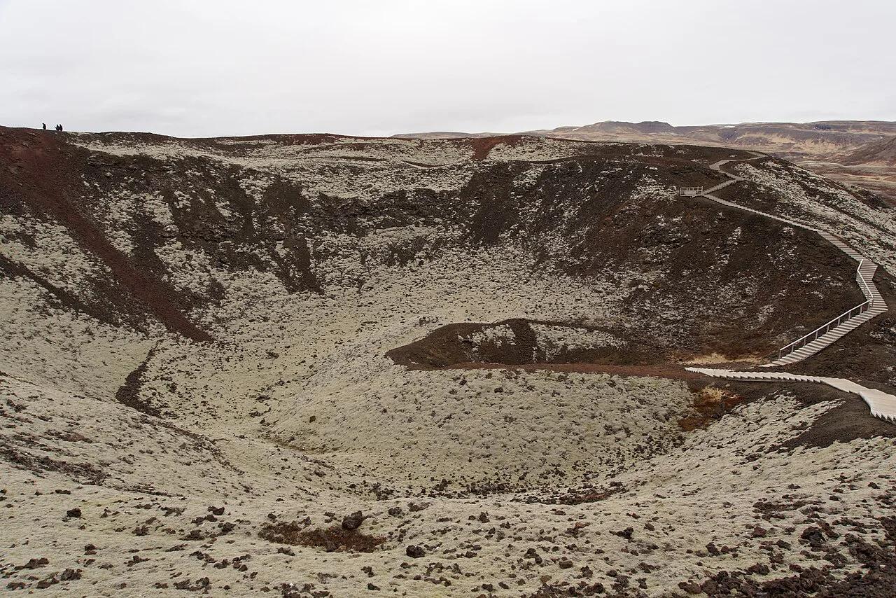
Grábrók Crater: Route 1 Stop, Climb Time and Tips
Last updated November 2026: the Grabrok crater is a red scoria cone about 3,400 years old, set right beside Route 1 in West Iceland. Entry has no fee, and the staircase and rim loop take about 30 minutes. Below you will find the climb, parking, geology and what to pair with it on a drive north.
Featured image: Jakub Hałun, CC BY-SA 4.0, via Wikimedia Commons.
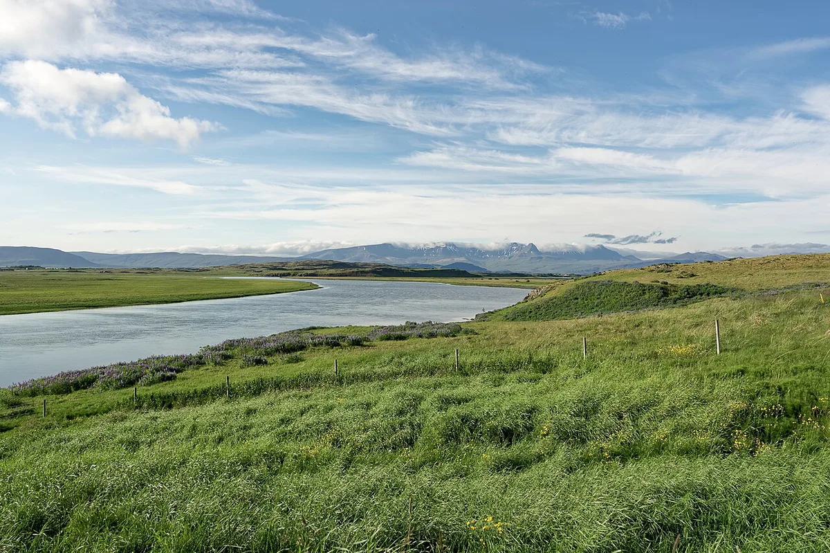
Grábrók Crater at a Glance
Grábrók sits about 100 km (62 miles) north of Reykjavík on Route 1. Driving from the capital takes roughly 1 hour 30 minutes. From Akureyri the distance is about 290 km (180 miles), or around 4 hours. Most visitors spend about 30 minutes on the stairs and rim loop.
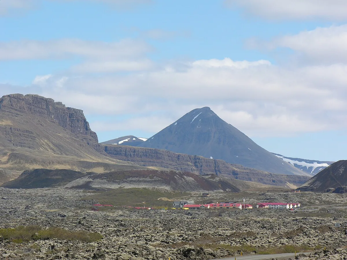
- Location: beside Route 1, a few kilometres south of Bifröst, West Iceland
- Visit time: 15 minutes for the stairs only, 30 minutes for the full rim loop
- Entry: no fee
- Season: open year-round, with toilets reported May to October only
- Difficulty: short and steep, with a staircase and boardwalk
Is Grabrok Crater Worth Stopping For?

Stop if you are driving north on Route 1 and want a leg stretch with a real view. Families with children who manage steps will enjoy it. Skip it if you have under 20 minutes of slack in your day. Skip it too if you cannot climb stairs, because the path suits neither pushchairs nor reduced mobility. Grábrók is a small, dormant cone, so travelers chasing lava and eruption scenery should read about active volcanoes instead. For a second walkable crater on a western drive, Eldborg's crater rim is the closest comparison.
How Long to Spend: 15, 30 or 90 Minutes
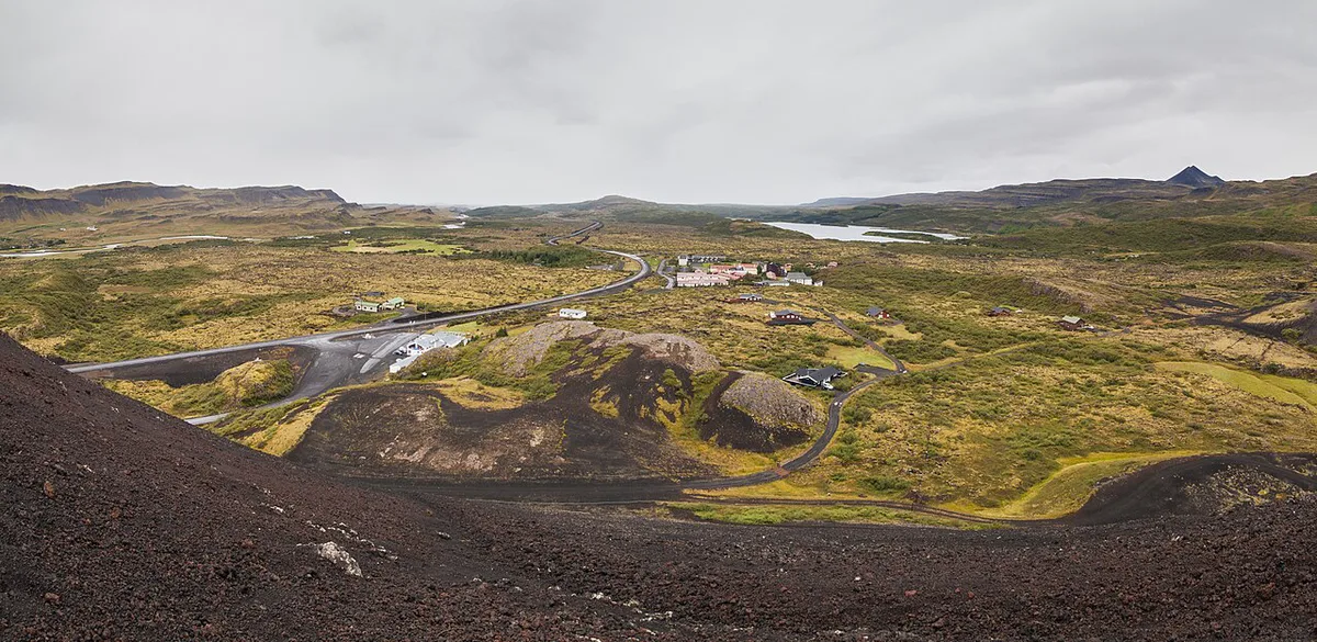
Decide your stop length before you leave the car park. The table shows what each option covers and who it fits.
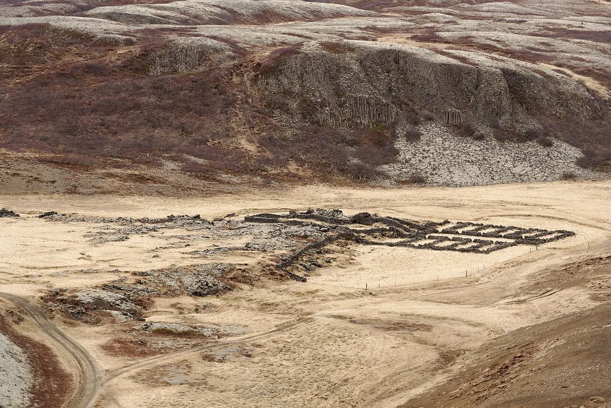
Litla Grábrók sits about 200 m south of the summit, so it adds only a short detour to the 60 to 90 minute stop.
| Time | What you do | Best for | What you skip |
|---|---|---|---|
| 15 minutes | Climb the stairs, look into the crater, return | Tight schedules, photo stops | The rim loop |
| 30 minutes | Climb, walk the full rim, descend | Most road-trippers | Neighbouring cones and waterfalls |
| 60 to 90 minutes | Rim loop plus Litla Grábrók, then Glanni, Laxfoss or Hreðavatn | Families, slow drivers | Nothing major nearby |
Getting There and Parking
From Reykjavík, take Route 1 north through the Hvalfjörður tunnel, which has been toll-free since 2018. Continue past Borgarnes toward Bifröst, about 100 km in total. A large brown Grábrók sign marks the car park, about 3 km south of Bifröst, on the right when you drive from the south. It holds roughly 30 cars plus bus spaces. Entry is free, and parking at the foot of the steps was also reported as free, so read any signs when you arrive. No special vehicle is needed in normal conditions. Winter weather can still change that, so check safetravel.is and the Vegagerðin road map before setting off.
Parking holds roughly 30 cars plus bus spaces, so coach stops are the crowd to plan around.
The Climb and Rim Walk
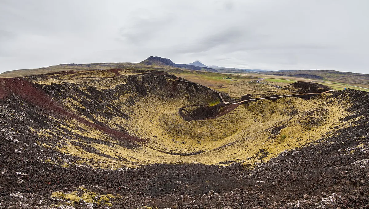
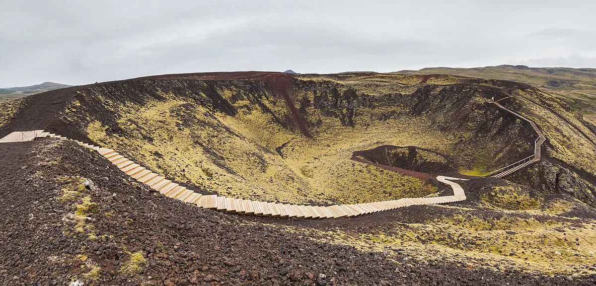
A staircase and boardwalk lead up the crater from the car park. Allow about 15 minutes to reach the top. The rim loop adds roughly another 15 minutes. The route is about 1.3 km (0.8 miles) with around 120 m (400 ft) of climb. Wind at the summit is strong and frequent, so pack a windproof layer even on a calm summer day. Wear shoes with grip. In winter, wet or icy steps can turn the climb unsafe, and you should turn back if the surface looks glazed. From the rim you look down into a moss-lined bowl. On clear days you can see Norðurárdalur valley, the Eiríksjökull glacier, and the smaller cones of Litla Grábrók and Grábrókarfell below.
- Mistake: skipping a windproof layer because the car park feels calm
- Mistake: climbing in icy conditions without checking the forecast
- Mistake: stepping off the path onto moss for a photo
- Mistake: booking a volcano tour when this free stop already shows a crater
- Mistake: arriving with no time left for the rim loop
How Grábrók Formed
Grábrók formed about 3,400 years ago in an eruption of the Ljósufjöll volcanic system, which stretches roughly 90 km. Gas-rich lava fountained from a vent and fell back as clots of red and black scoria. Those clots piled into the spatter cone you climb today. Stóra Grábrók is the largest of three features, alongside Litla Grábrók and Grábrókarfell. Litla Grábrók was partly quarried in the 1950s, which exposes its layers. Lava from the eruption spread as the Grábrókarhraun field beside the road, one of many Iceland's lava fields. For the wider tectonic picture, read why Iceland has so many volcanoes. Grábrók is not an eruption site today, and the Icelandic Met Office publishes current volcanic activity.
Best Time to Visit and Conditions
Coach groups tend to stop for about 30 minutes, so before 10 am or after 6 pm tends to be quieter. Summer evenings stay light, which suits a late leg stretch on the drive north. Winter brings short daylight and a real risk of ice on the steps. Moss turns bright green in summer and brownish red in autumn, so the crater changes colour through the season. If wind or low cloud closes in, the car park still gives a view of the lava field.
Protecting the Crater: Leave No Trace
Grábrók is a protected nature reserve managed by Umhverfisstofnun, the Environment Agency of Iceland. Stay on the staircase and marked path at all times. The moss covering the scoria is slow to regrow, and one footprint can scar it for years. Pack out all litter, including food scraps. Drone flights have a 120 m height limit under Icelandic rules. Check current reserve rules before you fly.
What to Combine Nearby
A 60 to 90 minute stop pairs the crater with several short detours. Bifröst village lies just north on Route 1. The visitor map helps you place all of these on one route, and our volcano map shows other cones within reach. For Snæfellsnes, Saxhóll is another walkable crater with a staircase. Readers who want a guide for the harder sites can browse guided volcano trips. Regional ideas are collected on Visit West Iceland. For the full national picture, start at volcanoes across Iceland. Eruption worries are covered in our guide to travelling during an eruption.
- Litla Grábrók: about 200 m south of the summit, with exposed scoria layers
- Hreðavatn: lake and Hreðavatnsskáli restaurant near Bifröst
- Glanni: waterfall on the Norðurá river and an easy add-on
- Laxfoss: waterfall also visible from the road corridor
- Snorrastofa: about 17 km as the crow flies, in Reykholt





