
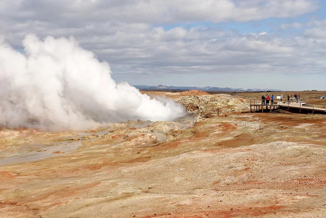
Gunnuhver Geothermal Area: Visit Guide & Safety
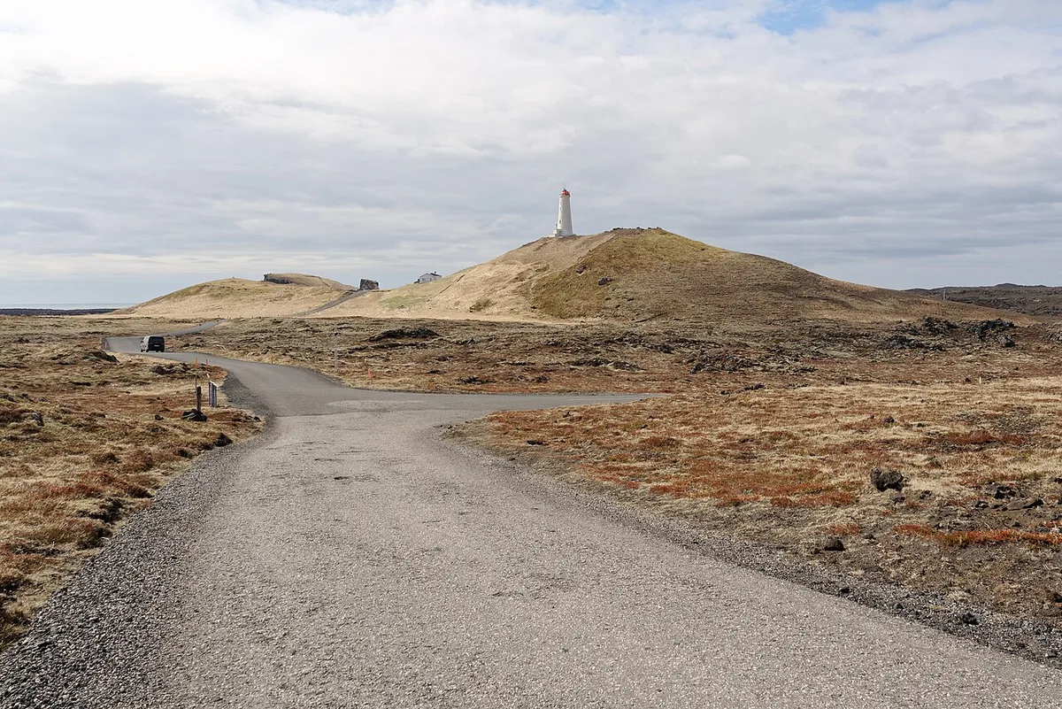
Last updated November 2026. Gunnuhver is a geothermal area on the Reykjanes Peninsula, with large steam vents and a boiling mud pool beside the Reykjanes lighthouse stop. A boardwalk and marked viewing paths keep you on safe ground. This guide covers the route, safety rules, timing and what to pair it with.
Featured image: Jakub Hałun, CC BY-SA 4.0, via Wikimedia Commons.
Gunnuhver at a glance
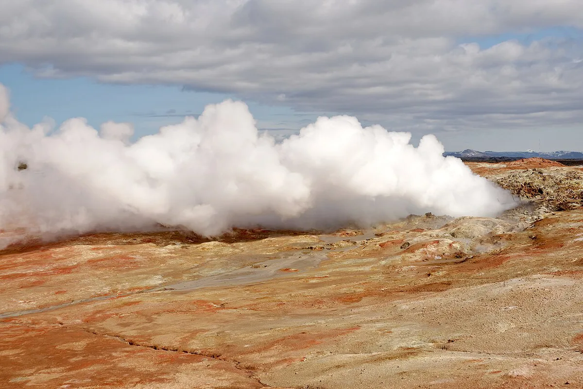
Gunnuhver is a high-temperature geothermal field with fumaroles, steam vents and mud pools. It is not a swimming hot spring, and it is not a standalone volcano. Listings use all three labels, but the field sits inside the Reykjanes volcanic system. That is why it belongs in any tour of Iceland's volcanic landscape. Visit Reykjanes describes a vigorously boiling mud pool of about 20 metres (roughly 65 ft) across, which it calls Iceland's largest.
- Location: Reykjanes Peninsula, near Reykjanesviti lighthouse
- Best for: geology fans, photographers, families on a short stop
- Visit time: plan roughly 30–60 minutes (our editorial estimate)
- Swimming: not possible; the water and mud are scalding
- Entry and parking: no gate is evident from listings, but not confirmed on an official page
Is Gunnuhver worth stopping at?
For most drivers on the peninsula, yes. It costs little time and shows geothermal power at close range. Skip it if you only want a soak, because the nearby Blue Lagoon is the bathing option. Use the table to decide.
A quick loop of 1.5–2 hours already includes Gunnuhver, while a full day adds Selatangar and the Blue Lagoon for a bath.
| Your situation | Stop at Gunnuhver? |
|---|---|
| Short layover or day before your flight | Yes, as a 30–60 minute stop on a quick loop |
| Full Reykjanes loop by car | Yes, pair it with the lighthouse and sea cliffs |
| Families with young children | Yes, but keep hands held on the boardwalk |
| Photographers | Yes, steam shifts with wind, so allow time for the light |
| Geology fans | Yes, it shows fumaroles and mud pools together |
| No car and no tour | Hard; public transport is limited, so ask a taxi firm about the fare |
| Heavy storm or ice on the paths | Skip or shorten; the boardwalk can be slippery |
How to get to Gunnuhver
Self-driving is the practical option. Start from Keflavík Airport, Reykjanesbær, the Blue Lagoon or Reykjavík, then follow signs toward Reykjanesviti and the Gunnuhver car park. Online route descriptions conflict on road numbers, so rely on current signage and your navigation app. Bus services reach Reykjanesbær, but the last leg usually needs a taxi. Guided Reykjanes tours often include this stop.
Grindavík and nearby roads have been affected by eruptions and fissure activity since 2023. Check Safetravel Iceland for closures on the day you drive. Volcanic alerts are posted by the Icelandic Met Office. Do not rely on old route advice or a walk from Grindavík.
- From Keflavík Airport: drive toward Reykjanesviti on the peninsula's southwest tip
- From the Blue Lagoon: continue west along the peninsula toward the lighthouse
- From Reykjavík: drive to the Reykjanes peninsula, then follow signs to Reykjanesviti
- No car: taxi from Reykjanesbær, or a guided tour
What you'll see at Gunnuhver
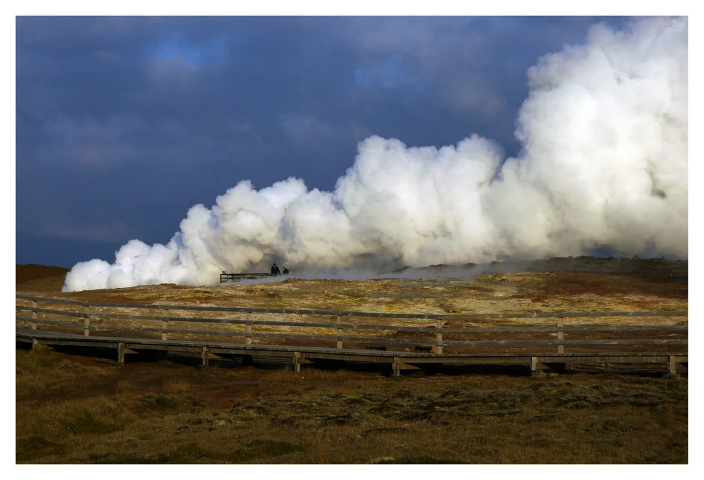
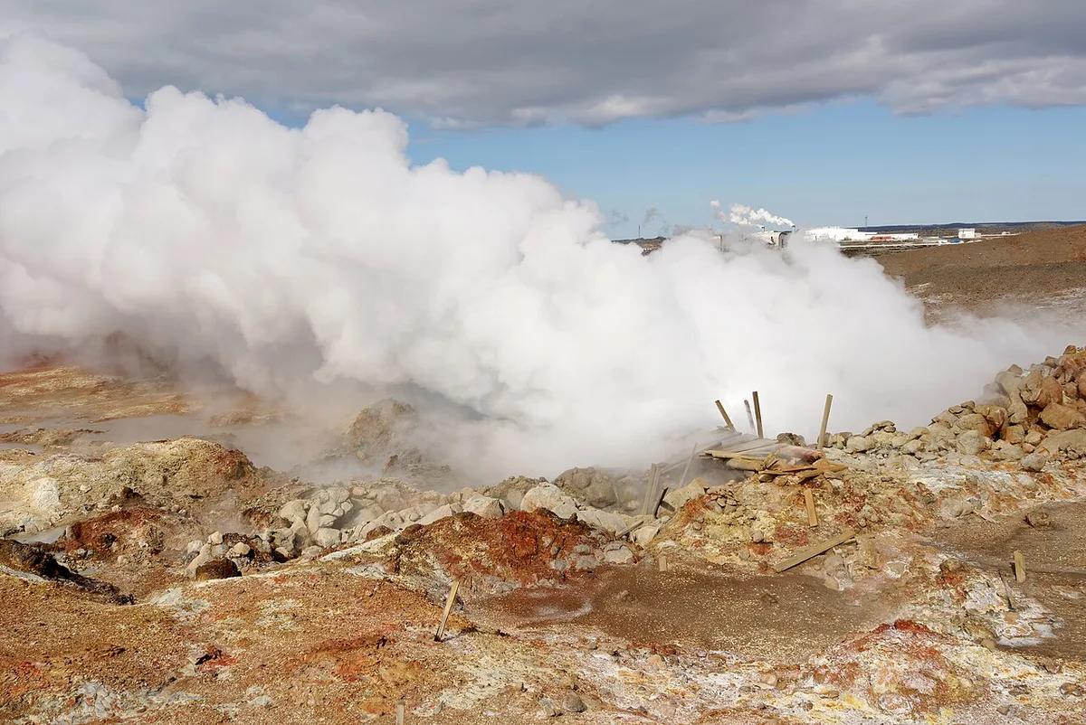
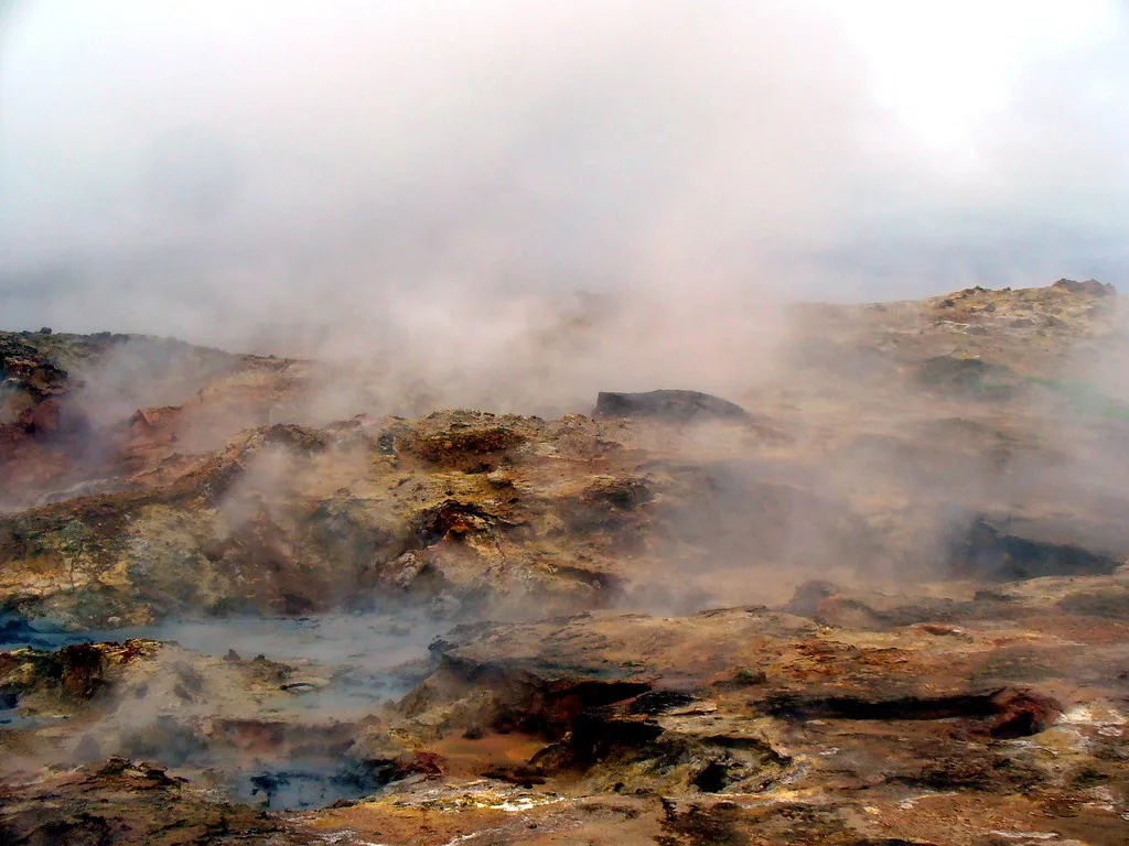
Big plumes of steam rise from vents across a hillside stained in rust, yellow and grey. Expect a strong sulfur smell and a steady hiss. The boiling mud pool is the centrepiece, and its surface heaves and bursts. Steam can drift across the boardwalk, so your view changes minute by minute. Mineral-stained ground around the vents shows how hot fluids have altered the rock.
Safety and etiquette at the vents
Stay on the boardwalk and marked paths. Ground near vents and mud can be thin, unstable and scalding. Never touch the water or mud. Steam shifts with the wind, which can hide the path edge, so step back when it blows toward you. Boardwalks can be icy in winter. Children should stay close, and pets are best left in the car. People sensitive to sulfur fumes should limit time downwind.
Eruptions and fissure activity have affected Grindavík and nearby roads since 2023, so an older route description may no longer hold.
- Mistake: stepping off the path for a photo
- Mistake: treating it as a hot spring for a dip
- Mistake: trusting stale road information instead of checking Safetravel on the day
Best time to visit and what to wear
Gunnuhver works in every season, but weather decides how pleasant it feels. Wind pushes steam over the paths, and rain makes the boards slick. Wear a windproof shell, waterproof shoes with grip and a hat. Winter brings darkness and a chance of aurora on clear nights, while summer brings long daylight for relaxed photography. Check the forecast before you leave the car park.
The legend of Gunna
The area is named after Gunna, a ghost said to haunt it. As commonly told, a pastor trapped her spirit so she would stop troubling the locals. The Reykjanes UNESCO Global Geopark is a good place to read how local stories sit alongside the geology. Treat the tale as folklore, not as history.
Pair it with a Reykjanes loop
Times below are editorial estimates, not official figures. Confirm access to each stop before you list it in your plan.
| Loop | Stops | Estimated time |
|---|---|---|
| Quick loop | Gunnuhver, Reykjanes lighthouse, Valahnúkamöl cliffs | 1.5–2 hours |
| Half-day loop | Add Hafnarberg sea cliffs and Reykjanesfólkvangur | 3–4 hours |
| Full-day loop | Add Selatangar and the Blue Lagoon | Most of a day |
Brimketill and Garðskagi: two coastal stops near Gunnuhver
The loop table above covers the lighthouse, cliffs and lava fields. Two other coastal stops are worth knowing about, because they show the peninsula's sea-and-lava side rather than its steam. Both are free viewpoints with no boardwalk queue, and the times below are editorial estimates, not official figures.
Brimketill lava rock pool
Brimketill is a rounded basin in the black lava shoreline on the south coast, west of Grindavík. Waves have carved it, and it fills and drains with the surf. It looks like a bathing pool, and it is not one. Swells here are powerful and unpredictable, and visitors have been swept off exposed rocks on this coast. Watch from the marked viewing area, keep well back from the edge, and skip it entirely in heavy surf. Allow about 15-20 minutes.
Because the road network around Grindavík has been disrupted by fissure activity, check Safetravel Iceland for the day's closures before you plan this stop. If the approach is closed, leave it out of the loop rather than looking for another way in.
Garðskagi lighthouses and shore
Garðskagi sits at the northwest tip of the peninsula, on the opposite side from Gunnuhver. Two lighthouses stand side by side, an older one and a taller modern one. The point is known for seabirds, especially in the migration seasons, and for open views across Faxaflói bay. A small local museum and café are on site, but opening hours change by season, so confirm before relying on them.
On clear winter nights the point is also a dark place to watch for aurora, with few lights between you and the horizon. Dress as you would for Gunnuhver, with a windproof layer, since there is no shelter on the headland. Allow 30-45 minutes.
| Stop | Best for | Estimated time | Main caution |
|---|---|---|---|
| Brimketill | Wave-carved lava pool | 15-20 minutes | Rogue waves; closures near Grindavík |
| Garðskagi | Lighthouses, birds, aurora | 30-45 minutes | Exposed to wind; seasonal café hours |
Adding Garðskagi turns Gunnuhver into a half-day out and back from Keflavík Airport, which suits a long layover when you want something beyond the main sights.
Why Reykjanes has geothermal fields
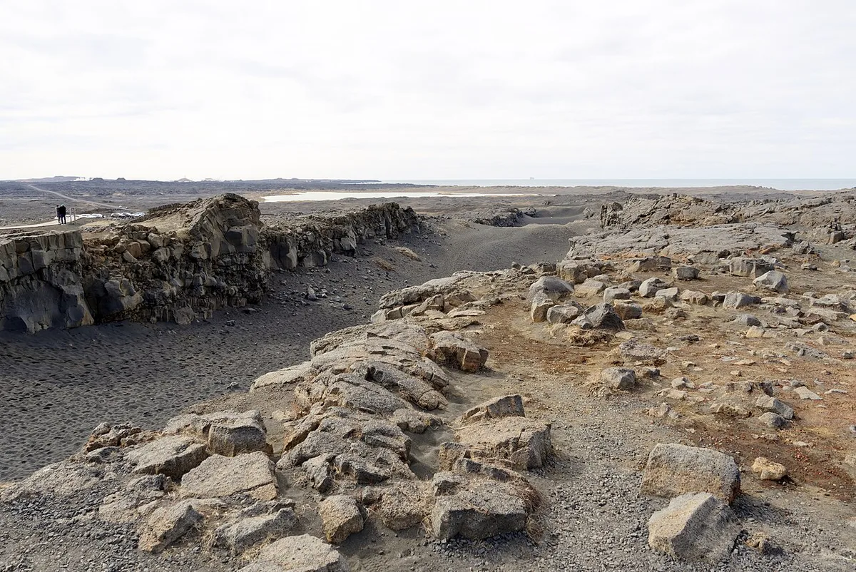
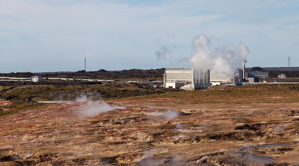
Reykjanes sits on the Mid-Atlantic Ridge, where heat from the volcanic system warms groundwater. That is why steam and mud appear on the surface. For the wider picture, start with Iceland's volcanic systems. Read why Iceland has so many volcanoes for the tectonics. For what eruptions leave behind, see Iceland's lava fields.
Other geothermal stops make useful comparisons. Krýsuvík is the closest on Reykjanes, and Hengill is another steaming area. Geysir and Hveravellir show different styles of hot ground. If eruptions worry you, read safety during an eruption.
Frequently Asked Questions
Is the Blue Lagoon safe from the volcano?
Conditions on Reykjanes change with volcanic activity. Check the Icelandic Met Office and Safetravel Iceland for alerts and closures before you travel, and follow the Blue Lagoon's own notices.





