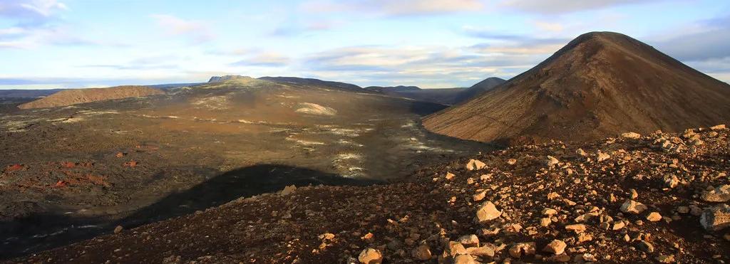
5 Fagradalsfjall Sites to Plan Around: Access, Hikes, Status
Last updated November 2026: Fagradalsfjall is a volcanic mountain and eruption area on the Reykjanes Peninsula, about 40 km southwest of Reykjavik near Grindavík and Keflavik Airport. Hikers come for the lava fields left by the 2021 and 2023 eruptions, but access changes with volcanic activity. Check live conditions on Safetravel Iceland before you set out.
Featured image: Mokslo Sriuba, CC BY-SA 4.0, via Wikimedia Commons.
Fagradalsfjall at a glance
Fagradalsfjall is a mountain and volcanic system on the Reykjanes Peninsula Travel Guide: Sights, Routes & Safety, roughly 40 km southwest of Reykjavik. Its eruptions in 2021 and 2023 created the lava fields that most visitors now come to see. Curious about the geology? Read what type of volcano Fagradalsfjall actually is. Status is the one fact that changes fastest, so treat any trail description, parking note or bus route as time-sensitive. The Reykjanes eruptions since 2021 are among the most watched volcanic eruptions in Europe of recent years.
Is Fagradalsfjall open? Current status and safety
Closures follow volcanic activity, gas forecasts and weather, so there is no standing answer. Check Safetravel Iceland for closures and trail conditions on the day you travel. Grindavík has been affected by evacuations during the Sundhnúkur eruptions, so do not assume town roads or services are normal. Volcanic gas (SO₂) can build up downwind of active vents, and wind direction decides where it drifts. Stay off fresh lava and follow every barrier or closure sign. The Reykjanes Geopark site is a second place to read regional context before you go.
5 Fagradalsfjall Eruption Sites and Stops, Compared
Status notes checked November 2026. Each stop below plays a different role, from a short viewpoint visit to a full hiking day. The table shows how the three eruption sites differ, and the list explains each stop in turn.
| Site | What it is | How to see it now | Status caveat |
|---|---|---|---|
| Geldingadalir | Valley where the 2021 eruption happened | Hike on marked routes | Routes and closures change; check Safetravel |
| Litli-Hrútur | 2023 eruption site in the same volcanic area | Hike or guided tour | Access depends on current conditions |
| Sundhnúkur | Crater row near Grindavík and Svartsengi | Viewpoints and official guidance | Most sensitive to evacuations and closures |
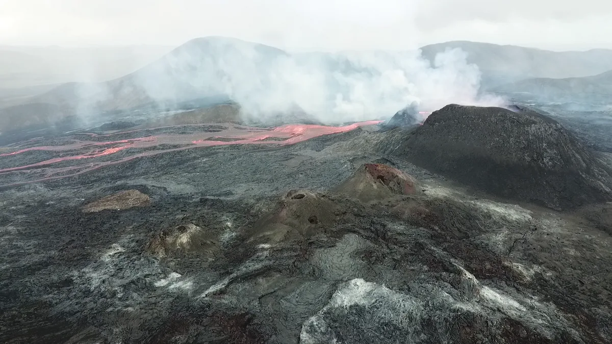
1. Geldingadalir, the 2021 eruption valley
Geldingadalir is the valley where the 2021 eruption began, and it is the best-known entry point to the area. The draw is cooled lava, new landforms and a close look at how a fresh volcanic landscape forms. Read our full Geldingadalir guide for site background.
Allow a half-day once you include the walk in and out. Skip it if you have poor footwear, since the ground is rough and uneven. Skip it too if you expect to see active lava, because the eruption is long over.
2. Litli-Hrútur, the 2023 eruption site
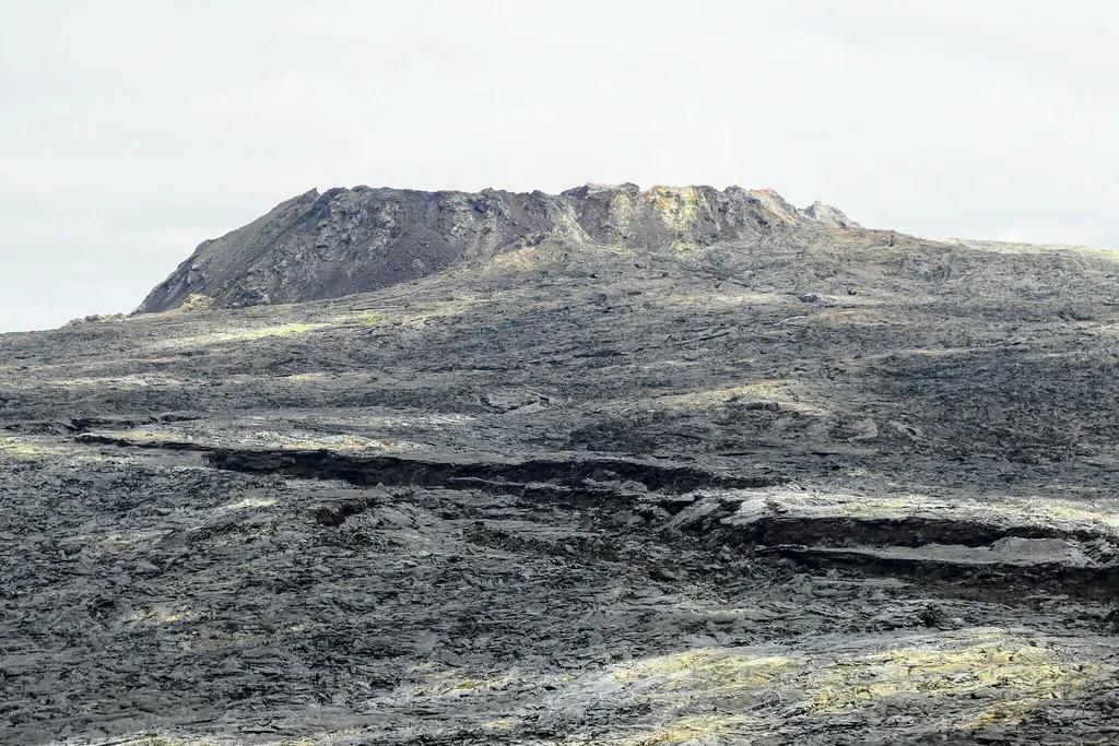
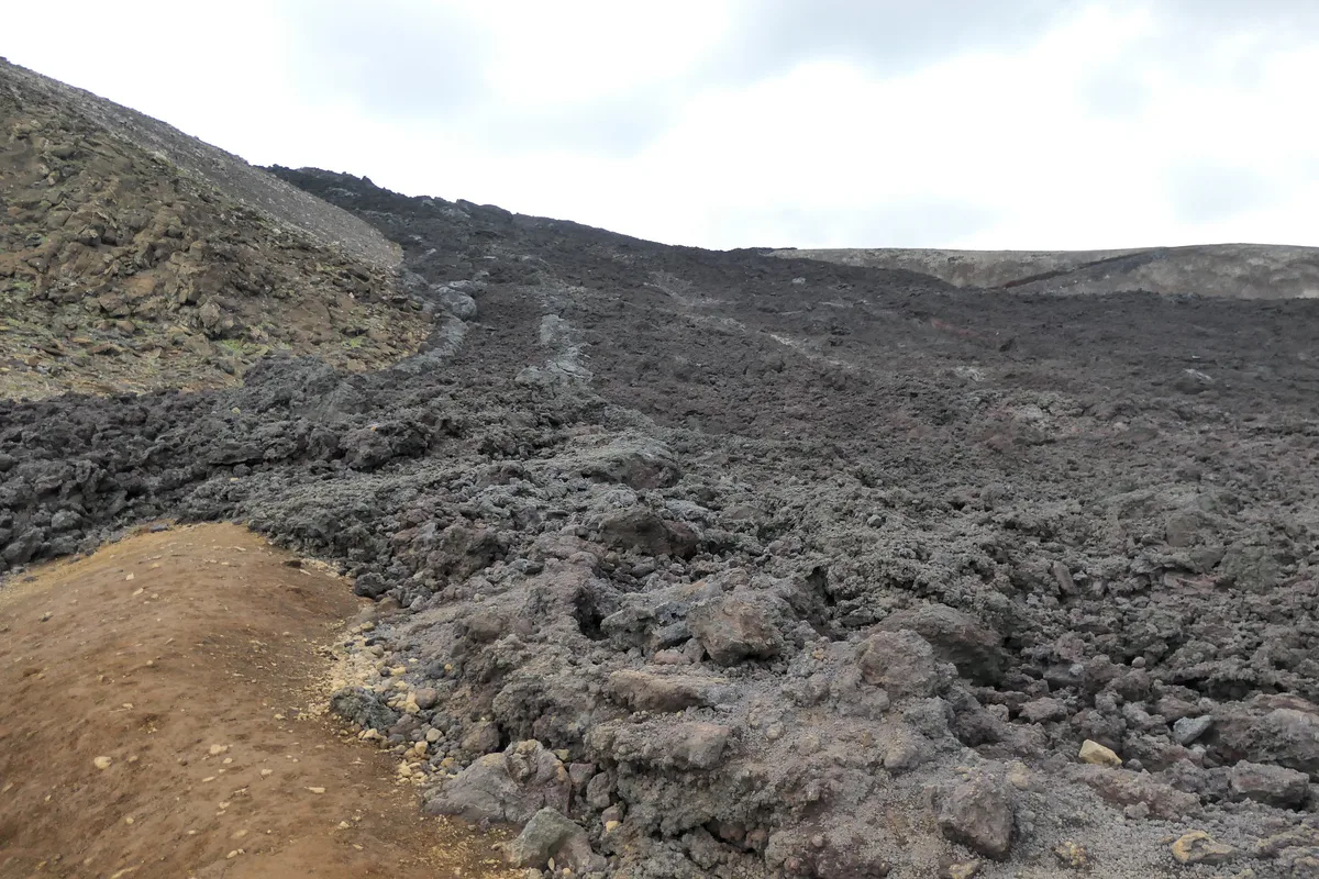
Litli-Hrútur is the 2023 eruption site in the same volcanic system, and it shows a younger lava field than Geldingadalir. Its lava surface is the main sight, with sharp contrasts between older and newer flows. Our Litli-Hrútur page covers the eruption in more detail.
Plan it as an extension of a longer hiking day rather than a standalone trip. Skip it in poor visibility or strong wind, when route-finding gets harder.
3. Sundhnúkur, the crater row near Grindavík
Sundhnúkur is the later crater row near Grindavík and Svartsengi, and it is the most operationally sensitive stop on this list. Evacuations of Grindavík during these eruptions mean official notices matter more here than anywhere else. Our Sundhnúkur page explains how the eruptions unfolded.
Treat it as something to see from official viewpoints or on a guided visit, not as a place to wander. Skip it if you want an independent, self-paced hike.
4. The Fagradalsfjall mountain trail
The mountain itself is the classic hiking objective, with views over the surrounding lava fields on a clear day. Terrain is rocky and loose in places, so ankle-supporting boots matter more than speed. Carry water and food, because you should not count on facilities on the trail.
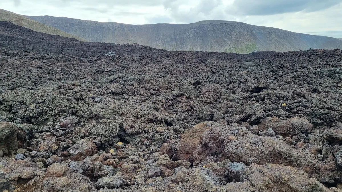
For other options, compare it with a broader volcano hike in Iceland. Skip it in winter darkness or heavy rain, when slippery rock and low visibility raise the risk.
5. Svartsengi and the Blue Lagoon area as a viewing alternative
Svartsengi is a geothermal power site run by HS Orka, and it sits in the same eruption-affected area as the Sundhnúkur crater row. It makes a lower-effort alternative if the trails are closed or the weather is poor. Read our Svartsengi guide for how the area fits together.
The Blue Lagoon and the volcano story is the natural pairing for a rest-day plan. Check the Blue Lagoon Iceland site for current opening arrangements. Skip it if your main goal is a hike with lava views.
How to get there
Reykjavik is about 40 km from the area, so a car gives the most flexibility. Roads near Grindavík and Suðurstrandarvegur can change with eruptions, so check road status before you drive. Parking arrangements and fees also change; Visit Reykjanes is the place to confirm them. Without a car, a Strætó bus to Grindavík plus a taxi is possible, but confirm that the route still runs.
Reykjavik is about 40 km from the area, so the bus-plus-taxi option adds transfers on top of that distance.
| Option | Cost level | Time and effort | Flexibility | Best for |
|---|---|---|---|---|
| Self-drive | Mid | Shortest door-to-door | High | Confident drivers who want their own pace |
| Bus plus taxi | Cheapest | Longest, with transfers | Low | Budget travelers without a car |
| Guided tour from Reykjavik | Premium | Low effort, set schedule | Low | First-timers who want route and safety handled |
The hike: what to expect
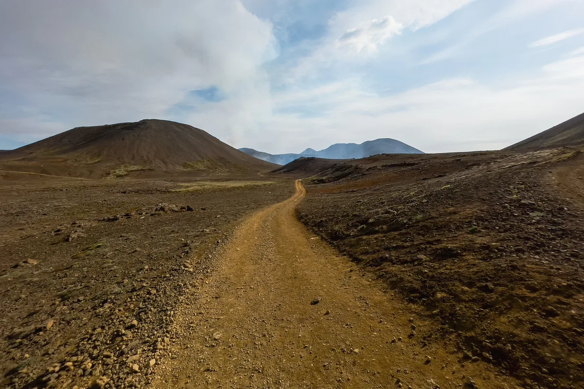
Expect a rocky, uneven walk across lava fields rather than a groomed path. Trail routes and walking times have shifted with each eruption, so rely on current Safetravel route information instead of old maps. Treat this as a half-day outing and add margin for weather.
- Sturdy, ankle-supporting hiking boots with good grip.
- Waterproof outer layer and warm mid-layers, even in summer.
- Water and food, since facilities on the trail are not guaranteed.
- A charged phone and an offline map of the current route.
Best time to go
Summer gives the longest daylight and the easiest trail conditions. In winter, short days, wind and rain make slippery rock and low visibility real problems. Wind direction also matters for gas, so check the forecast the morning you go. Pick a clear, calm day, and keep a flexible schedule.
Tours or self-guided: how to choose
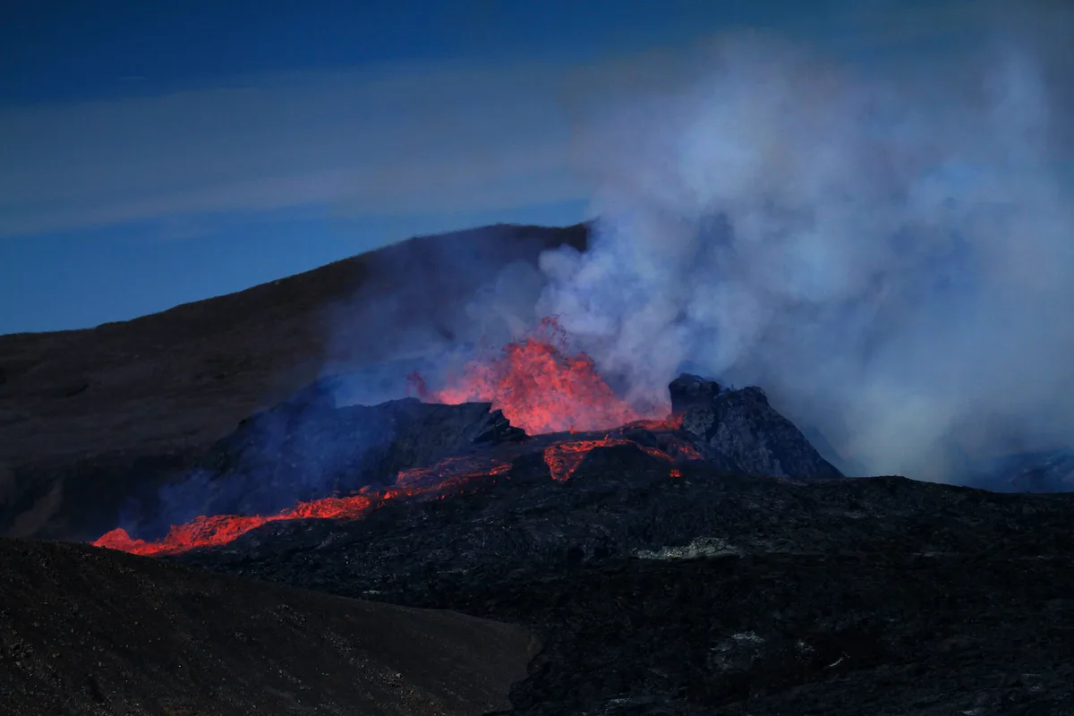
Self-guided hiking suits confident walkers with a car and good footwear. A guided option makes sense if you want local judgment on closures, gas and route conditions. Compare current departures on our Fagradalsfjall Tours: Which Volcano Hike Fits You page, then match them to your Reykjavik schedule.
Combine it with nearby stops
Other Reykjanes stops make this a full day. All time chunks below are estimates, so adjust them for weather and closures.
Hold the morning hike to about 3 to 4 hours so the later stops still fit, since every time chunk is only an estimate.
- Morning, about 3 to 4 hours: hike the Fagradalsfjall area if conditions allow.
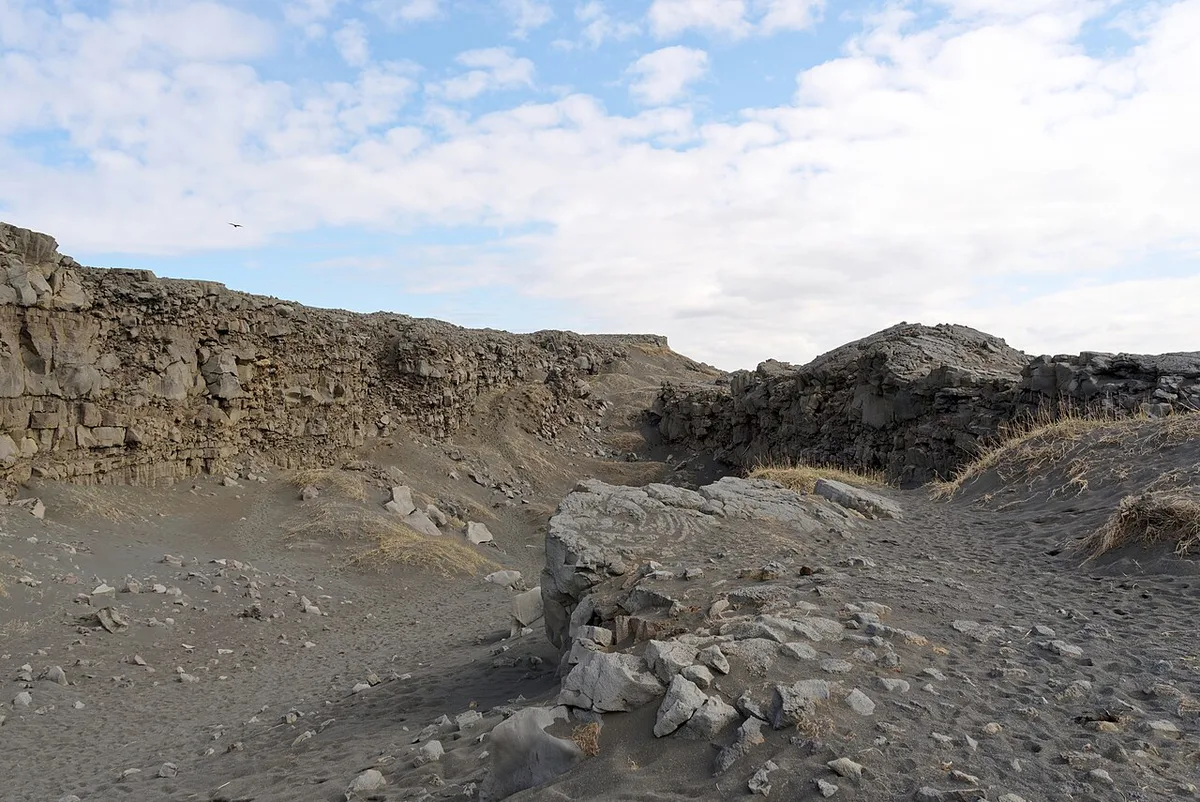
- Midday, about 45 minutes: stop at the Bridge Between Continents, Iceland: Visitor Guide, a footbridge across the plate boundary.
- Afternoon, about 30 minutes: walk to Reykjanesviti lighthouse, then add Gunnuhver hot springs if time allows.
- Late afternoon: finish at the Blue Lagoon or Svartsengi area, as covered above. For broader context, see the Reykjanes Geopark: What to See, Safety & How to Visit guide.
Mistakes to avoid and who should skip it
Most problems come from treating the area like a fixed attraction. Avoid these common errors, and skip the hike if they describe your trip.
- Trusting old trail maps or pre-eruption directions.
- Walking on fresh lava or crossing barriers.
- Ignoring gas forecasts and wind direction.
- Going in poor boots, winter darkness or bad weather.
- Expecting an active eruption on arrival.
Frequently Asked Questions
Where is Fagradalsfjall located in Iceland?
Fagradalsfjall is on the Reykjanes Peninsula in southwest Iceland, about 40 km from Reykjavik. It lies near Grindavík and Keflavik Airport. Check live access before you travel.
Explore More Guides
Keep planning your trip with these guides.
Guides
- Can You Visit Now? 2026 Guide
- Bridge Between Continents, Iceland
- Reykjanes Peninsula Travel Guide
- Volcano Hike in Iceland
- Svartsengi, Iceland
- Geldingadalir
- Reykjanes Geopark: What to See, Safety & How to Visit
- Reykjanesviti Lighthouse
- Blue Lagoon and the Volcano
- Can You Visit the Crater Row?
- Litli-Hrútur Volcano
- What Type of Volcano Is Fagradalsfjall? Fissure Eruptions Explained
- Fagradalsfjall Tours: Which Volcano Hike Fits You