
Kerlingarfjöll Guide: Access, Hikes & Best Time
Last updated November 2026: kerlingarfjoll is a rhyolite mountain range in Iceland's central Highlands, best known for the steaming geothermal valley Hveradalir. You reach it from the Kjölur route (F35) on a Highland road, using a high-clearance 4WD or a guided tour. Access is summer-only, with a season that runs roughly from late June to early September.
Featured image: jessygirollet, Public Domain Mark 1.0, via Flickr.
Kerlingarfjoll at a glance
Kerlingarfjöll sits roughly in the middle of Iceland, far from the coast. Rust, ochre and sulfur-yellow rhyolite peaks surround vents and warm streams. Treat it as a geothermal highland system rather than an erupting volcano. For the wider picture, start with our guide to 10 Volcanoes in Iceland: Which to Visit and How.
- What it is: a rhyolite mountain range with a geothermal valley, Hveradalir.
- Where: central Highlands, east of the Kjölur road (F35) on the interior road F347.
- Season: roughly late June to late August or early September, with opening dates shifting each year.
- Access: high-clearance 4WD, or an organised Highland tour.
- Time needed: about 5 hours for a typical visit, 4 to 6 hours for the Hveradalir circuit.
- Effort: hard-rated, with loose scree and real elevation change.
- Best fit: hikers and photographers who want colour, steam and quiet.
Why go: rhyolite colours and Hveradalir
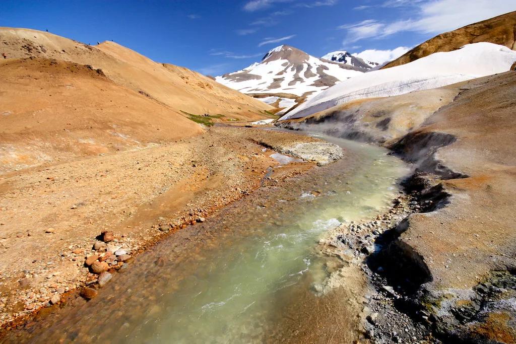
Most Highland stops give you one feature, such as a glacier tongue or a waterfall. Kerlingarfjöll layers several. Rhyolite shifts from burnt orange under overcast skies to deep red when low sun hits the slopes. Snowfields linger into summer beside ground that stays warm underfoot.
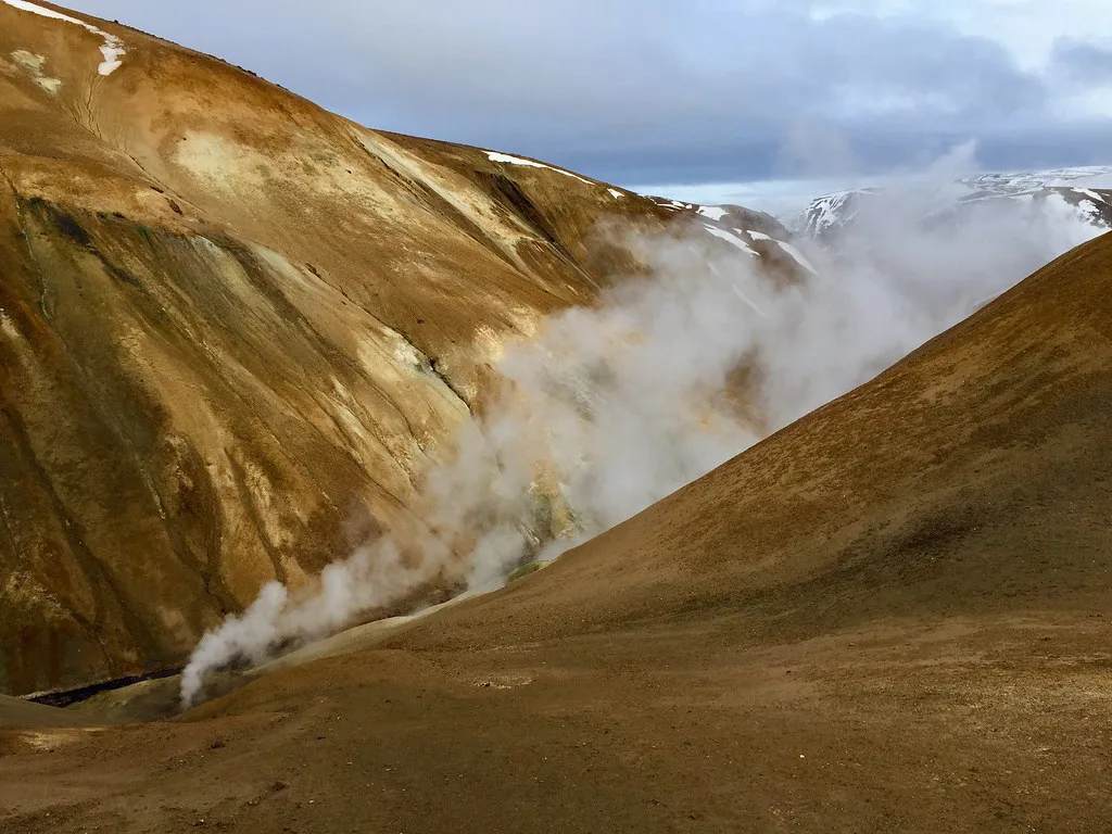
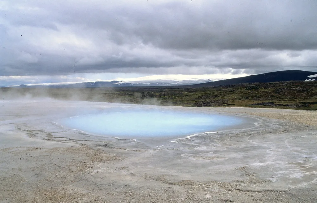
Hveradalir is the centrepiece. Fumaroles push steam through the ground at multiple points, and warm streams run clear over mineral-stained deposits. Sulfur is noticeable in calm air but not oppressive. Wind disperses the steam quickly.
Geology explains the colour. Silica-rich rhyolite weathers into reds, yellows and pale greys, and heat from below keeps the valley active. Our explainer on why Iceland has so many volcanoes covers the plate-boundary background.
How to get there
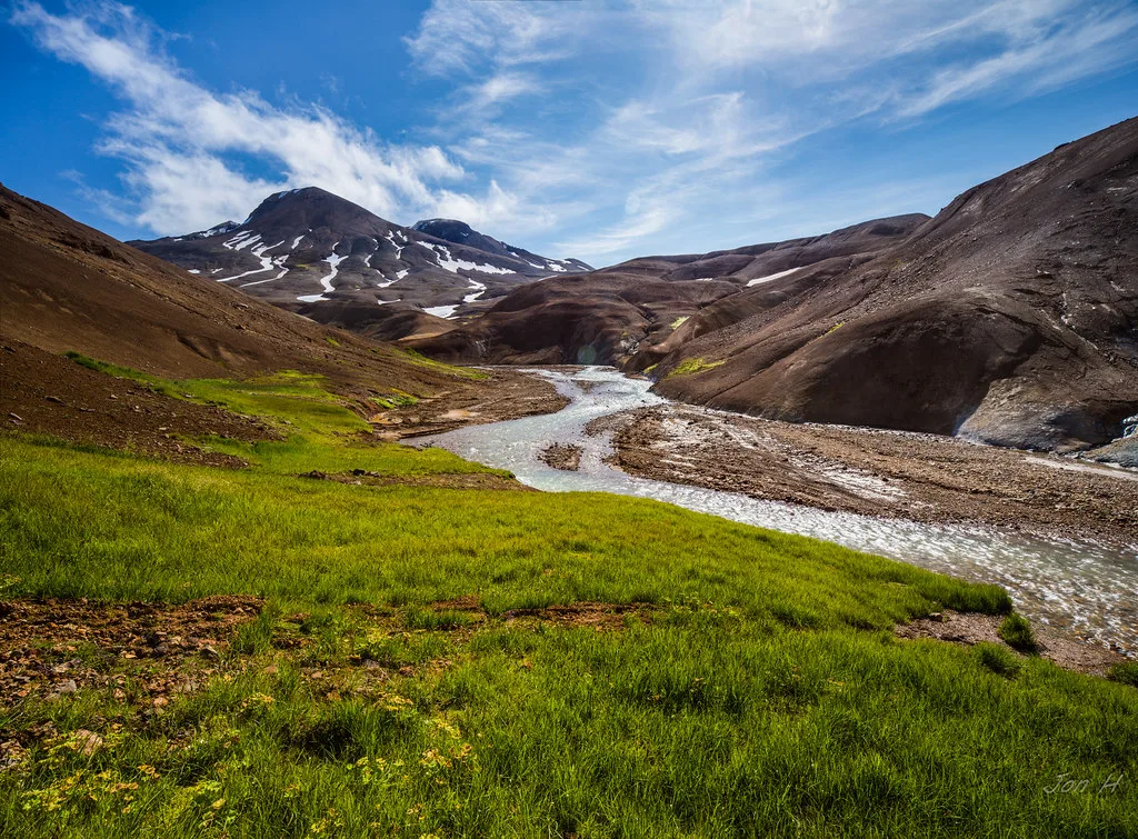
Kerlingarfjöll is not a Ring Road stop. The main approach is the Kjölur road, Route F35, which crosses the interior between the Langjökull and Hofsjökull glaciers. A turn-off leads east onto F347 toward the base. Both roads call for a four-wheel-drive vehicle with high clearance. Rivers and soft ground are part of the route.
F35 often opens earlier in summer than other interior roads. Opening dates still shift every year. Check the Vegagerðin road map on the day you leave, not the day before. For safety alerts, use SafeTravel's current advisories.
From the south, Gullfoss and the Geysir area are the usual gateways. From the north, travellers start from Blönduós or Varmahlíð. Neither end has services on the interior road, so fill the tank and buy food before you commit. Our volcano map of Iceland helps you place the range in relation to both ends.
If you would rather not drive, organised Highland excursions and seasonal buses run from larger centres. Rental-car contracts often restrict F-roads, so read your insurance terms first.
Is it worth it? Day trip, overnight or multi-day
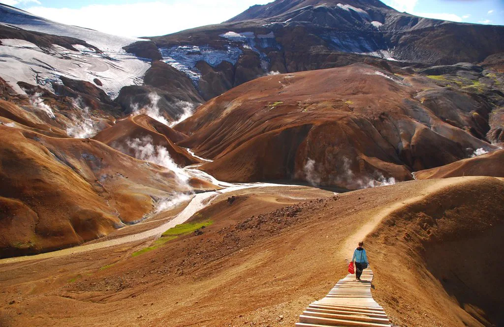
Your answer depends on how much time you have and how hard you want to walk. A single long day from the Ring Road works, but most of it goes to driving. Staying overnight turns the valley into a relaxed walk instead of a race against daylight.
Plan on about 5 hours for a typical visit, but a day trip from the Ring Road loses much of that to driving, so an overnight stay suits slower walkers.
| Option | Time on site | Access | Effort | Best for |
|---|---|---|---|---|
| Day trip | About 5 hours typical | Tour or own 4WD, long driving day | Hard-rated | Travellers short on time |
| Overnight | Full Hveradalir circuit of 4 to 6 hours plus buffer | Own 4WD, tour, or seasonal bus | Hard, but unhurried | Photographers and first-timers |
| Multi-day | 2 to 3 days of longer routes | Own 4WD plus hut or camping gear | Demanding, navigation needed | Experienced hikers |
Hiking Hveradalir and beyond
Trails lead from the hut and campsite area into Hveradalir. They are marked but not manicured. The ground mixes loose volcanic scree with packed earth, and some patches are warmer and looser than they look. A full circuit takes most walkers four to six hours, depending on pace and photo stops.
Phone coverage is patchy and help is far away, so share your route before you walk. In an emergency, call 112.
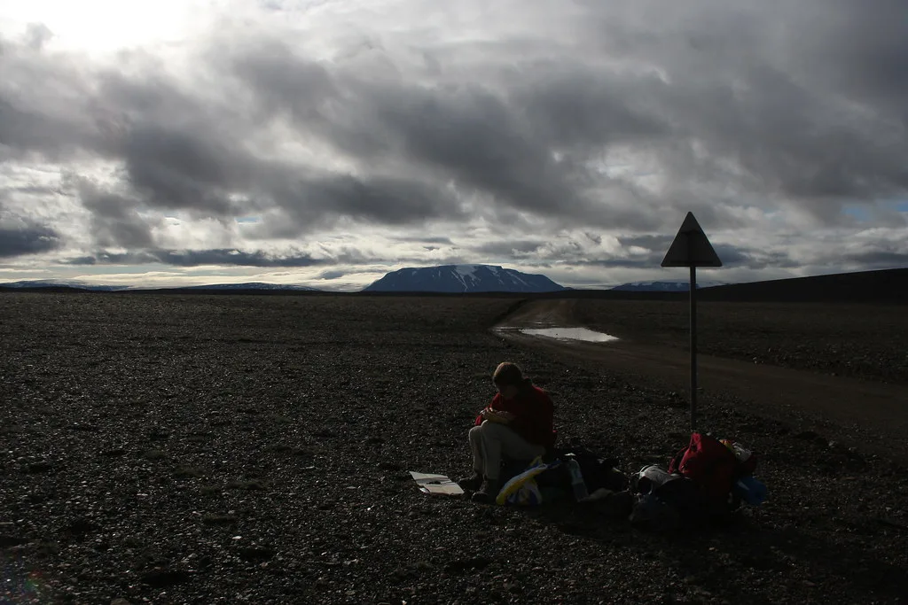
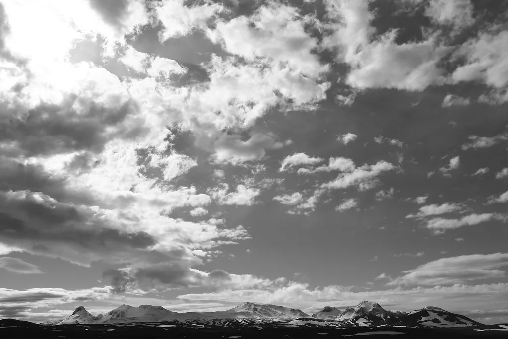
Longer routes connect other parts of the massif, which is why some visitors spend two or three days here. Snækollur is described as the range's highest summit and suits experienced hikers in clear weather. On good days the views reach Langjökull and Hofsjökull.
Cloud and mist arrive fast. Skip the geothermal ground entirely in low visibility. Carry a map and GPS, and tell someone your route. In an emergency, call 112.
When to go
Late June to late August or early September is the practical window. July tends to be the steadiest month, though highland weather is never settled. Midsummer gives the longest daylight, and afternoon light on rhyolite is worth having. Early September is quieter with low-angle light, but early snow can close roads. Check Icelandic Met Office forecasts before you set out.
| Period | What to expect | Main risk |
|---|---|---|
| Late June | Roads opening, snowfields still large | Roads or trails may not be open yet |
| July | Most stable conditions, longest daylight | Peak demand for beds |
| August | Good access, firm trails | Fog and sudden rain |
| Early September | Quiet trails, soft light on the slopes | Early snow and road closure |
Where to stay and eat
Services are concentrated at one base. Highland guides describe a staffed hut and campsite there, run by the Touring Club of Iceland (Ferðafélag Íslands). Other listings call the base a mountain resort at Ásgarður. Current lodging, meals, payment methods and booking rules are on the official Kerlingarfjöll site.
Book early if you plan to sleep over, because capacity is limited and summer demand is steady. Toilets and washing facilities sit near the base during the season, not on the trails.
There are no supermarkets, cafés or cash machines in the range. Bring food, water and a backup payment method. Warm streams are not drinkable, so carry your own water for the hike.
Safety and responsible-visitor rules
Highland geothermal ground injures people every year, and weather turns within an hour. Use these rules as a minimum.
- Stay on marked trails: the crust near vents can be thin, and burns are a documented hazard.
- Never cross steaming ground for a better photo, and do not touch hot springs or vents.
- Pack wind and waterproof layers even if you leave in sunshine.
- Skip the valley in thick fog, when unstable ground is hard to see.
- Do not drink from warm streams.
- Check F347 road status on the day you leave.
- Expect patchy phone coverage and no help nearby.
- Keep wheels on established tracks and carry out all waste.
Kerlingarfjöll vs other Highland stops
Kerlingarfjöll shares the Highlands with several better-known stops. Each one trades off colour, access and crowds differently. For a closer geothermal neighbour on the Kjölur road, read about Hveravellir's hot springs.
| Stop | Character | Access | Bathing |
|---|---|---|---|
| Kerlingarfjöll | Rhyolite peaks, fumaroles, steaming valley | F35 then F347, 4WD with high clearance | Not confirmed; ask the operator |
| Landmannalaugar | Rainbow rhyolite hills, start of the Laugavegur trek | 4WD only, with river crossings | Natural geothermal pool |
| Hveravellir | Geothermal area on the Kjölur route | Kjölur road, Highland conditions | See our Hveravellir guide |
| Háifoss | Waterfall of 122 m beside twin Granni | Moderately demanding hike | No |
| Gullfoss and Geysir | Golden Circle waterfall and geysers | Southern gateway to the Kjölur road | No |




