
Bárðarbunga Volcano: Location, 2014 Eruption & Visiting
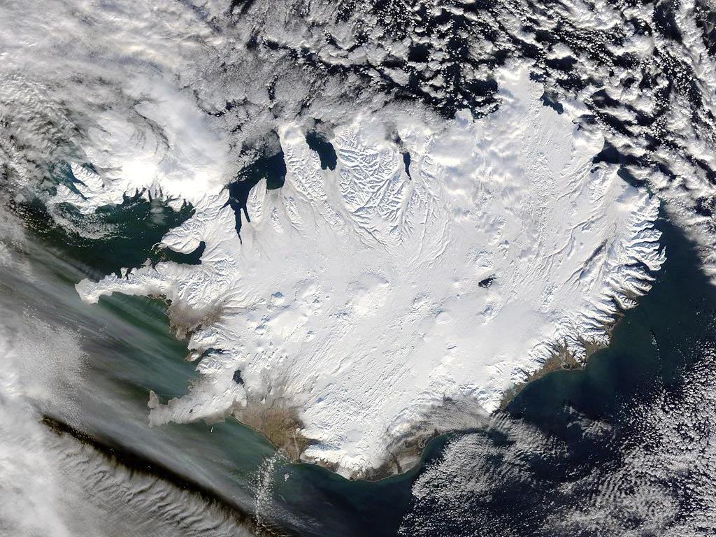
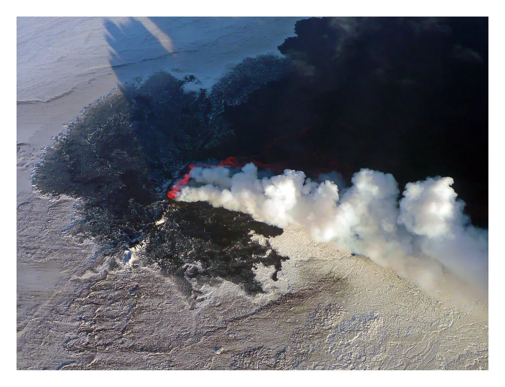
Last updated November 2026: bardarbunga, spelled Bárðarbunga in Icelandic, is a large volcanic system and caldera beneath the Vatnajökull ice cap in Iceland's central highlands. You cannot drive to it, and most visitors see the area only from a highland tour or a flight. The 2014–15 eruption that made headlines happened at Holuhraun, a lava field north of the glacier, and not in the main caldera.
Featured image: NASA Goddard Photo and Video, CC BY 2.0, via Flickr.
What Is Bárðarbunga?
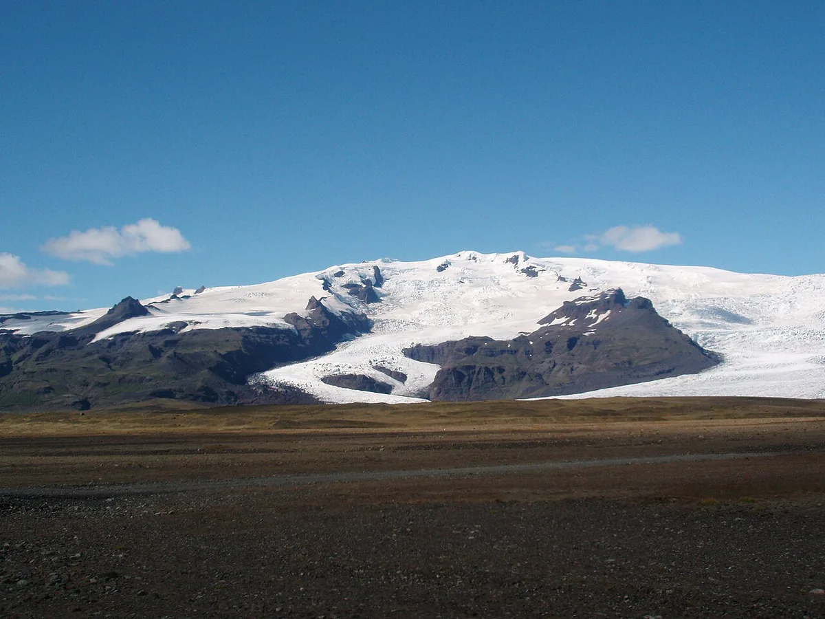
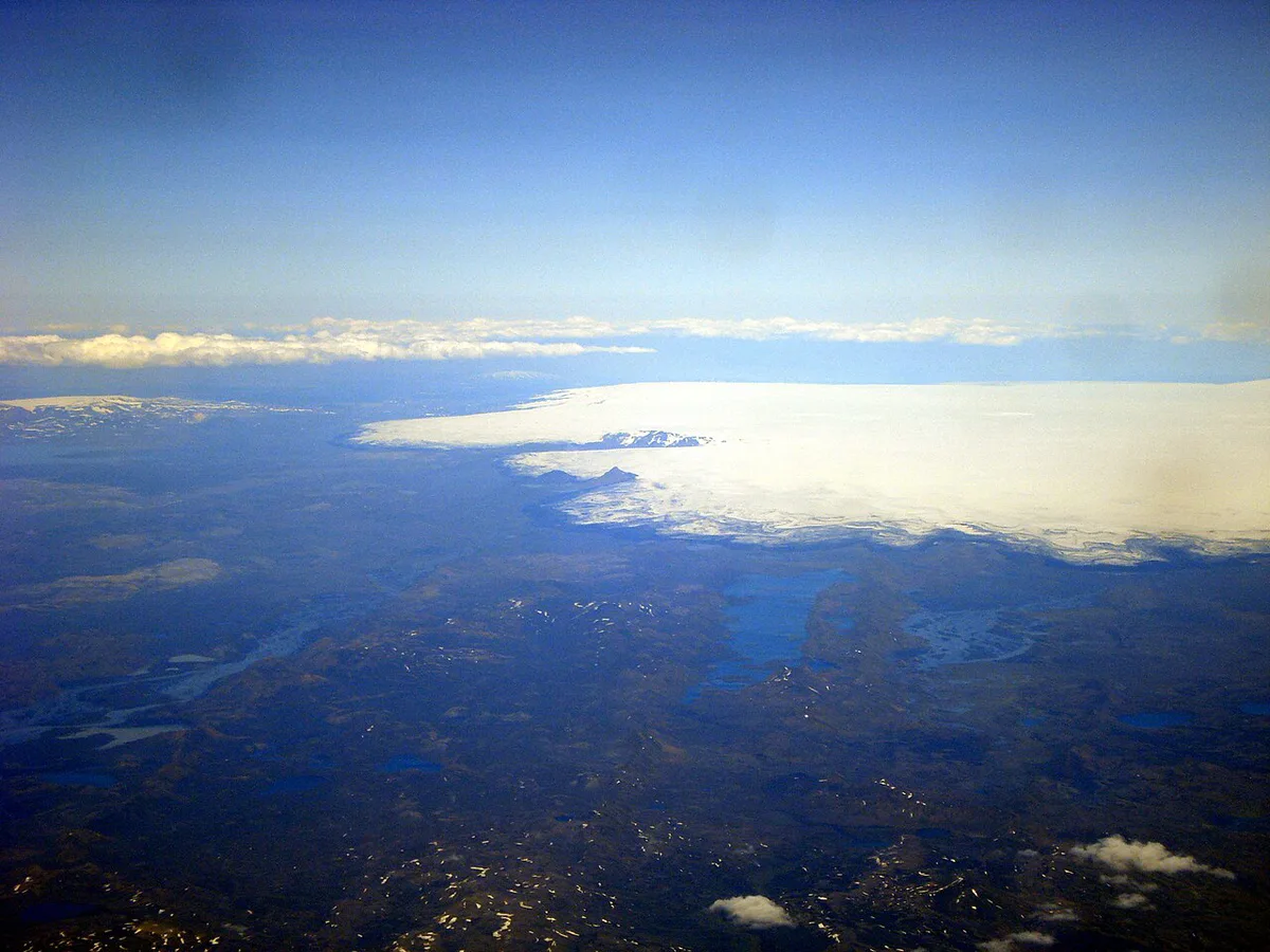
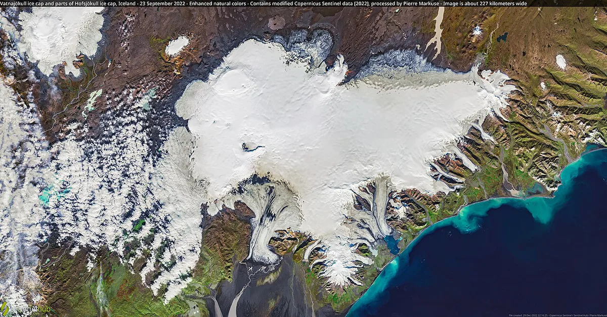
Bárðarbunga is a volcanic system with a caldera hidden under the ice of northwest Vatnajökull. A fissure system stretches out from the caldera, so eruptions can break out kilometers away from the glacier. Nothing about the volcano is staffed or ticketed. It sits inside the wild interior that Vatnajökull National Park manages, far from services. Iceland's volcanism comes from its position on the Mid-Atlantic Ridge, which our explainer on why Iceland has so many volcanoes covers in more detail. For a wider overview of the country's systems, start with 10 Volcanoes in Iceland: Which to Visit and How.
Bardarbunga vs Holuhraun: What Erupted in 2014–15
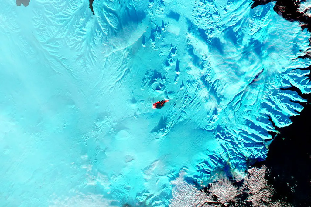
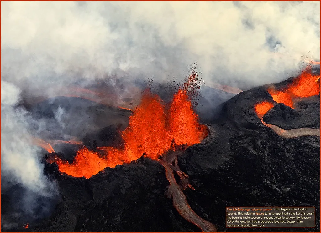
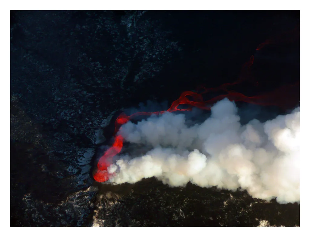
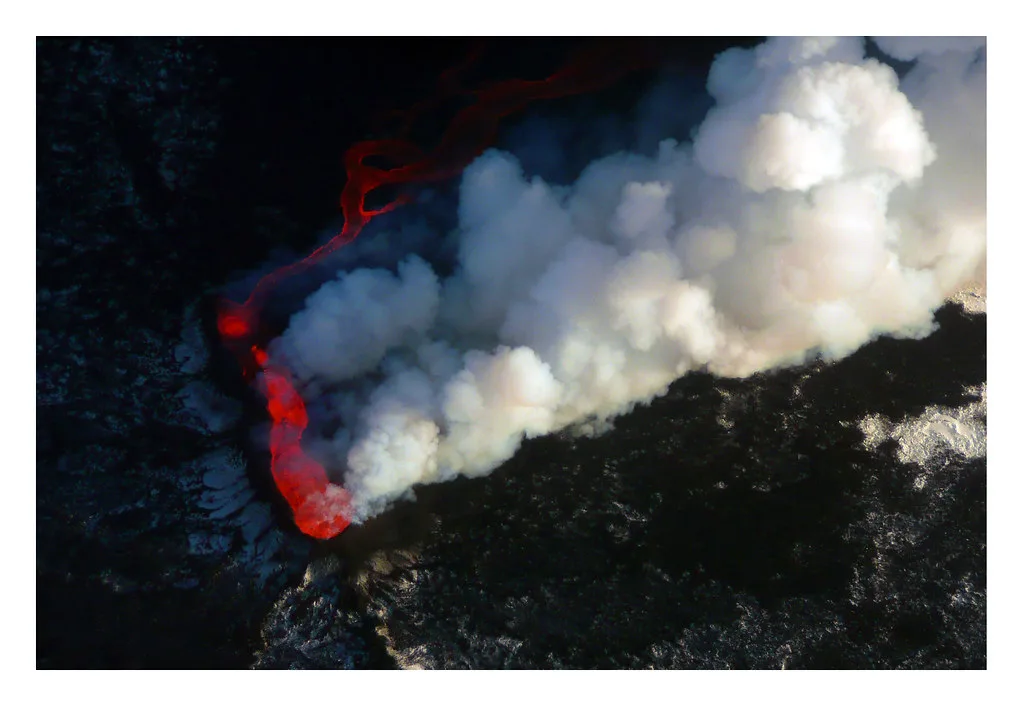
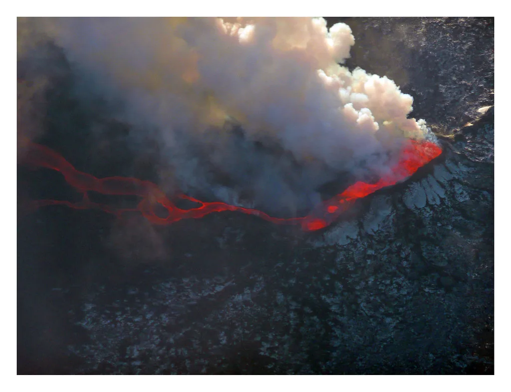
Many news reports in 2014 simply said that Bardarbunga was erupting. That was shorthand. The lava came from a fissure eruption at Holuhraun, which belongs to the Bárðarbunga volcanic system but lies north of the ice cap. Holuhraun is a lava field and eruption site, not a separate volcano and not the caldera. Scientists describe the 2014–15 eruption as the biggest Icelandic lava flood in more than 200 years. The eruption ended in early 2015, and the new lava now makes up much of the landscape you see there. Our page on the Holuhraun lava field covers the site itself.
- Bárðarbunga: the caldera and volcanic system under Vatnajökull.
- Holuhraun: the lava field north of the glacier where the 2014–15 eruption took place.
- Relationship: the eruption was fed by the Bárðarbunga system, but the main caldera did not erupt.
Is Bárðarbunga Active Now? Current Status and Risk
Bárðarbunga is still treated as an active system, and it is monitored. Live status comes from the Icelandic Met Office, which publishes earthquake and volcano updates. Check it before any highland trip, because conditions can change within days. Our list of Active Volcanoes in Iceland: Where to See Them Safely shows where this system sits among the others. For travelers, the realistic risks are closed highland roads and flight disruption, not danger on the Ring Road. Our guide on travel safety during an eruption explains how advisories work in practice. Official closures and warnings also appear on Safetravel Iceland.
Can You Visit? Access, Season and Tours
You cannot stand at the caldera, because it lies under the ice. The area is reached by highland F-roads, which are rough tracks that open only in summer and require a 4x4. Rivers on these tracks are unbridged, and there is no fuel, food or mobile signal along most of the route. Check F-road status on road.is before setting out. Guided highland trips take that risk off your shoulders, since the guide handles river crossings and closures. Browse guided volcano tours to compare what is on offer. Scenic flights are the other realistic option, and they show the ice cap and lava fields from above. Access to Holuhraun and the zone around it can be restricted, so confirm the current rules with the park or your operator.
- Mistake: treating Holuhraun as the volcano itself.
- Mistake: attempting F-roads without a suitable vehicle or river-crossing experience.
- Mistake: ignoring road or area closures.
- Mistake: entering restricted zones around the lava field or caldera.
Costs and Time Trade-Offs
Highland trips take a full day or more from the nearest road access, so time matters more than money. Operators set their own prices, so compare quotes directly. As a rule, a guided tour costs more than self-driving a rental, and a flight costs more than both. The table below compares the options, with no fixed prices.
| Option | Access difficulty | Season | What you see | Who should skip it | Relative cost |
|---|---|---|---|---|---|
| Self-drive highland (F-road) | High: 4x4 and river crossings | Summer only | Lava fields and glacier edge, if roads are open | Anyone without highland driving experience | Medium |
| Guided highland tour | Low: guide drives | Summer | Landscape of the Bárðarbunga area | Visitors short on time | Medium to high |
| Scenic flight | Low | Weather dependent | Ice cap and lava fields from above | Anyone prone to motion sickness | High |
| Lava show in Reykjavik | Very low | Year-round | Demonstration of molten lava | Visitors wanting wild scenery | Low to medium |
Easier Ways to See Icelandic Lava
If the highlands are out of reach, other places show volcanic landscapes with far less effort. The lava show in Reykjavik demonstrates molten lava indoors. Eldheimar tells the story of a buried town. The moss-covered Eldhraun lava field is visible from the Ring Road. For more roadside options, see our guide to Iceland's lava fields.
Planning Around Eruption Risk
Book flexible hotels and tours when you plan a summer highland trip. Keep a spare day in your schedule, and watch the Met Office page in the week before you travel. Ash can disrupt flights, and an eruption can close highland roads. Read what happens during an Iceland eruption to understand how these events usually affect visitors. Follow Safetravel notices, and ask your operator about its cancellation terms.
Where Bárðarbunga Fits Among Iceland's Volcanoes
Bárðarbunga is one of several major systems under Vatnajökull. Its neighbor Grímsvötn also sits beneath the ice and has a different eruption history. For a question about size, see Iceland's biggest volcano. Locate each system on the volcano map of Iceland to plan a route that links them.




