
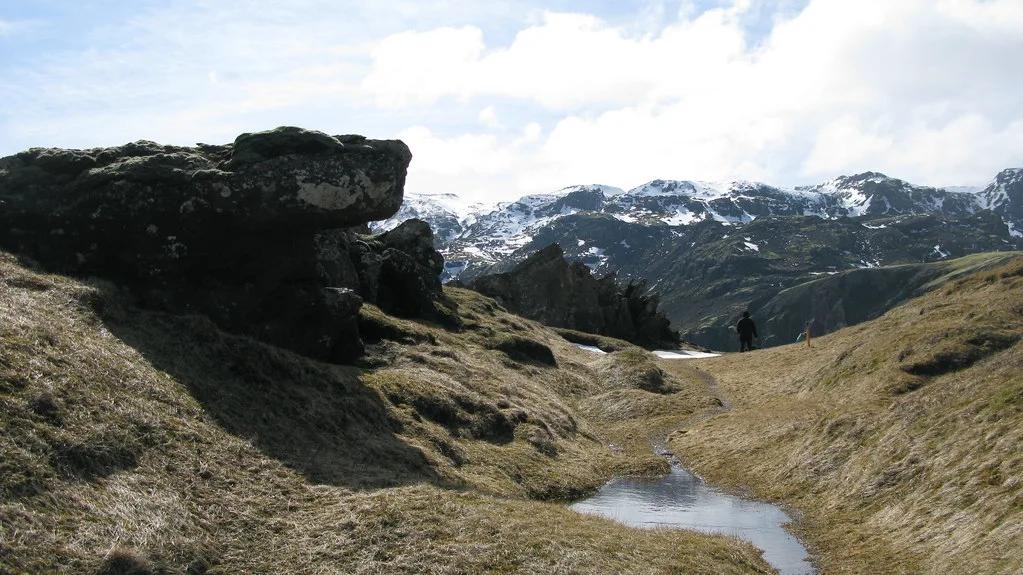
Hengill, Iceland: How to Visit, Hikes and Safety Tips
Last updated November 2026. Hengill is a volcanic system and geothermal area east of Reykjavik, and it suits visitors who want steaming ground and hot-spring hiking without a long drive. This guide to Hengill covers what it is, how to reach it, which stop to choose and how to stay safe around hot ground.
Featured image: sfjalar, CC BY 2.0, via Flickr.
What Is Hengill?
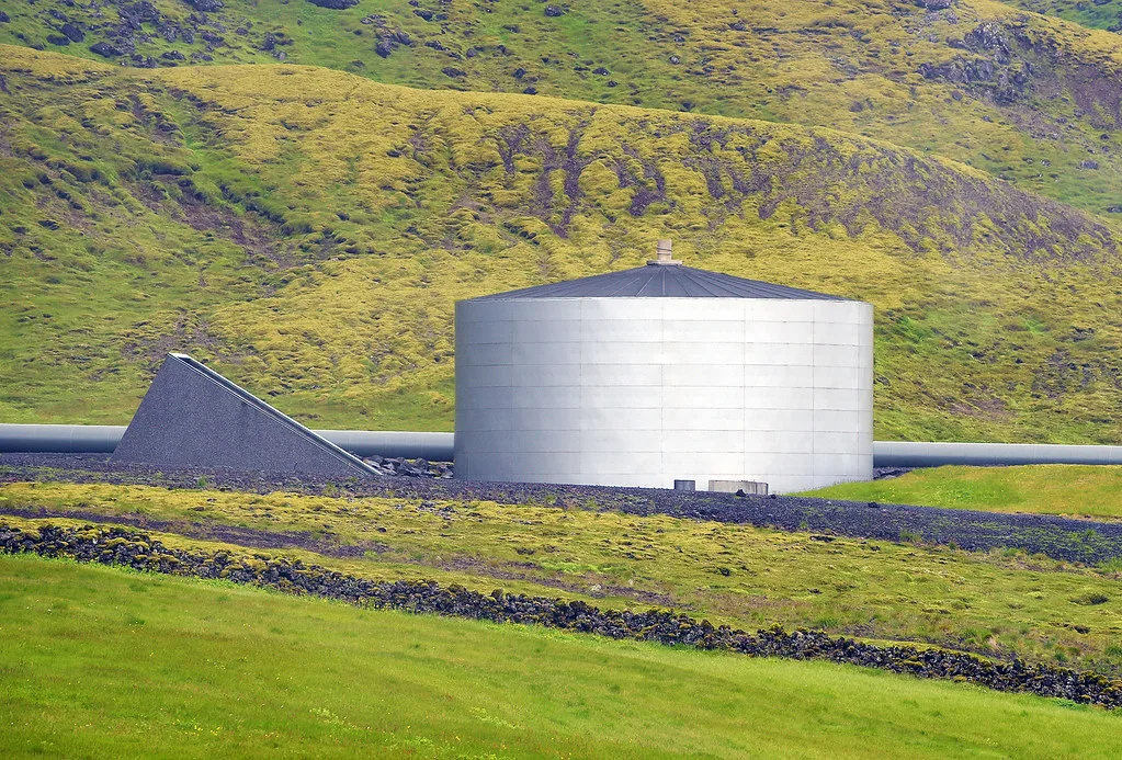
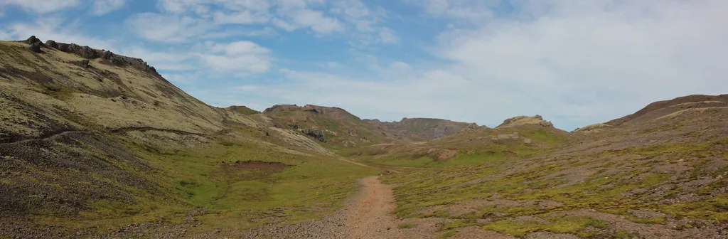
Hengill is a volcanic system east of Reykjavik with an active geothermal field. Its steam vents and hot ground power two plants, Hellisheidi and Nesjavellir. Hikers know it best for the Reykjadalur hot spring valley near Hveragerdi. Some sources also call the geothermal area Hveradalir. For the wider geology, see our guide to why Iceland has so many volcanoes. Hengill also sits among the sites in our overview of Iceland's volcanoes. The Icelandic Met Office publishes current seismic and volcanic status.
Best Things To Do In Hengill
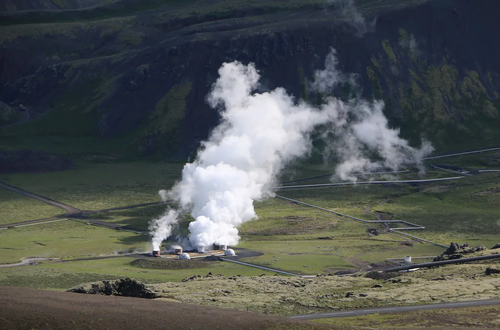
Hengill rewards three kinds of visit. You can stop briefly at the geothermal power landscape, walk among steaming ground, or hike into Reykjadalur and bathe in the warm river. Each option suits a different amount of time and energy.
- Power plant landscape: Hellisheidi and Nesjavellir show how Iceland turns underground heat into energy. The ON Power Hellisheidi site is the place to check for any visitor exhibition.
- Geothermal walking: Steam vents, mud pools and coloured ground sit along marked paths. Stay on those paths.
- Reykjadalur hike: This valley near Hveragerdi is the best-known route in the area. It ends at a warm stream where people bathe.
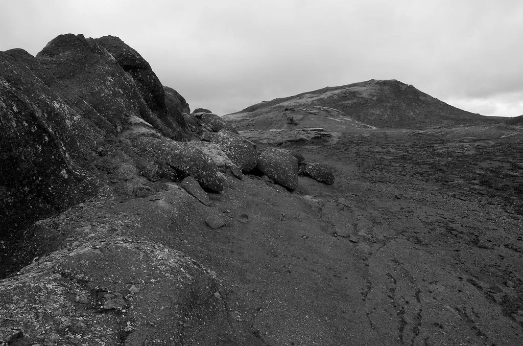
- Longer ridge hiking: Hengill's higher terrain suits experienced hikers with a map and weather awareness.
How To Get There And Get Around
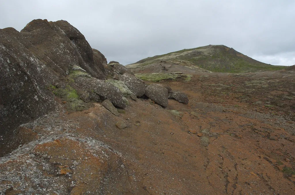
Most visitors self-drive from Reykjavik. Take Route 1 east toward the Hellisheidi Power Plant, then follow signs toward Nesjavellir or Hveragerdi, depending on your target. Public transit options here are limited, so don't count on a bus without a current timetable. Guided trips remove the parking and navigation work, and our volcano tour options show what organized days include. Check road conditions on the official road authority site, especially in winter.
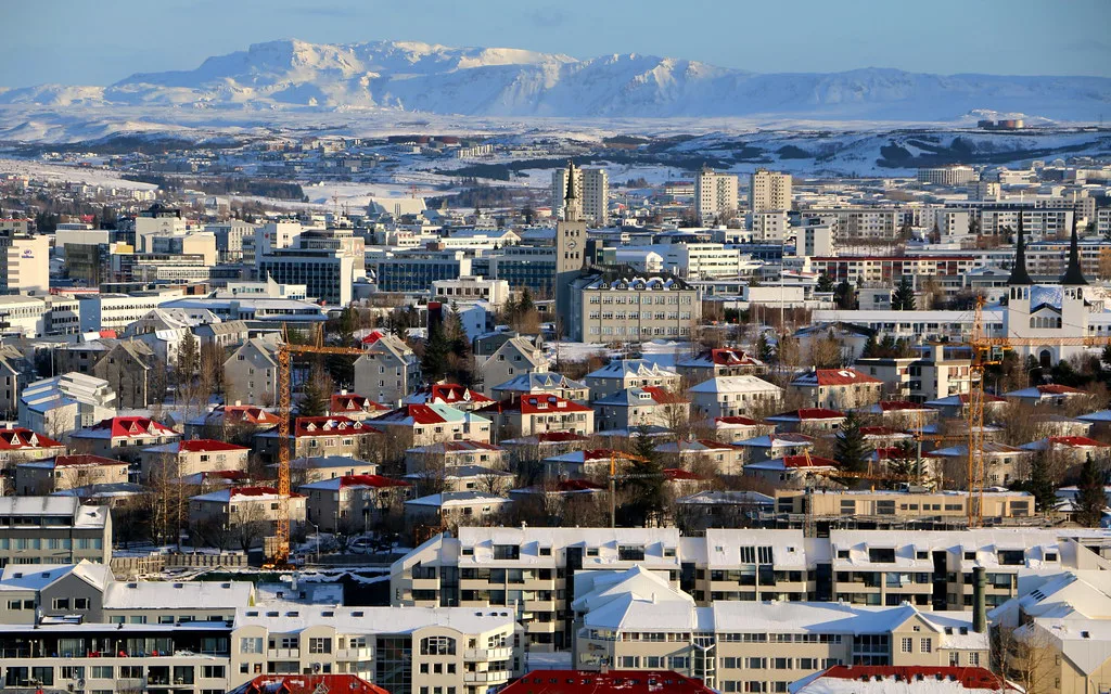
Route 1 carries drivers east from Reykjavik toward Hellisheidi, so a capital base means the first leg is a single road.
How To Plan Your Time
Pick by time, fitness and season. Hengill works as a short stop or a full hiking day.
| Option | Effort | Best for | Season notes |
|---|---|---|---|
| Quick geothermal stop | Low | Travelers driving past on Route 1 | Possible year-round; roads and wind vary |
| Half-day walk | Moderate | Steam fields and viewpoints | Best in snow-free months |
| Full-day hike with bathing | Higher | Reykjadalur and ridge terrain | Summer is easiest; winter needs experience |
Costs, Access And Facilities
Walking the open land is generally free, but parking, bathing facilities and tours may carry fees. Facilities can be minimal on trails, so check the current details with Visit South Iceland before you go. Bring water, food and spare layers.
Safety And Best Time To Visit
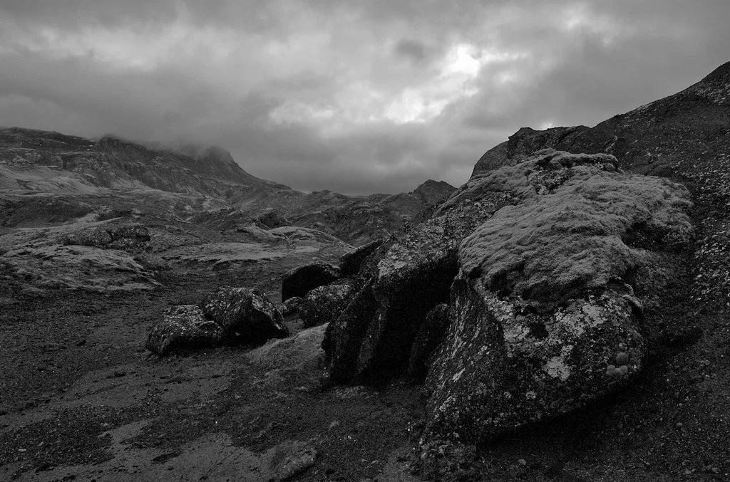
Geothermal ground can scald. Thin crust and hidden hot mud sit beside steaming vents, so stay on marked paths and keep children close. Weather turns fast on exposed ground, and winter daylight is short. Read Safetravel Iceland for current conditions and carry a map. Summer is the easiest hiking season. For eruption context, see our guide to travel during an eruption.
- Wear sturdy waterproof footwear, not trainers.
- Check the forecast before leaving Reykjavik.
- Do not touch or step near steaming ground.
- Tell someone your route if you hike alone.
- Expect few services on the trail.
Where To Stay
Reykjavik works as the base, since Hengill is an easy day out by car. Hveragerdi is the nearest town named in our notes, so look for lodging there if you want to start early.
Hengill Compared With Other Geothermal Stops
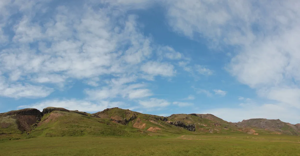
Hengill offers hiking plus hot springs, while other stops offer quicker views. Compare the effort and character of each before you plan.
| Stop | Main draw | Effort | Best for |
|---|---|---|---|
| Hengill | Hiking, steam fields, warm river | Moderate to high | Active days |
| Geysir | Erupting hot spring | Low | Short visits |
| Krysuvik | Colourful mud pools | Low to moderate | Reykjanes day trips |
| Gunnuhver | Large steam vents | Low | Quick coastal stop |
| Hveravellir | Highland geothermal area | High | Remote trips |
Mistakes To Avoid
Most problems come from underestimating the terrain. Avoid these.
- Skipping the weather check before a hike.
- Leaving the path near hot ground.
- Expecting cafes or toilets on the trail.
- Treating it as a short walk when you plan Reykjadalur.
- Packing no swimsuit or towel for the warm stream.
Choose Your Hengill Starting Point
Hengill is spread across several access areas, so choose your destination before leaving Reykjavík. Route 1 is the main eastbound approach for the Hellisheiði side. From there, follow local signs toward either Nesjavellir or Hveragerði, depending on the experience you want.
Choose Hveragerði if Reykjadalur and its warm river are your priority. Choose the Hellisheiði or Nesjavellir side if you want geothermal scenery, power-plant landscapes, or a walking route without planning a bathing stop. Hengill’s underground heat supplies 2 major power plants: Hellisheiði and Nesjavellir.
Do not assume every Hengill stop connects easily by foot. Parking areas, trailheads, and facilities vary by location. Save your intended trailhead on an offline map, check road conditions before departure, and bring your own water and food. This simple choice prevents an otherwise easy day trip from becoming a detour.




