Is Eyjafjallajökull Active? Status, Risks & Visiting
Last updated November 2026: is Eyjafjallajökull active? Yes, it counts as an active volcano because it erupted in 1821–23 and again in 2010, but it is not erupting in the records we checked. Searching "is Eyjafjallajokull active" really asks three things: how the volcano is classified, what it is doing now, and whether it can erupt again. This guide answers each one and shows where to check live conditions before a trip to Eyjafjallajökull.
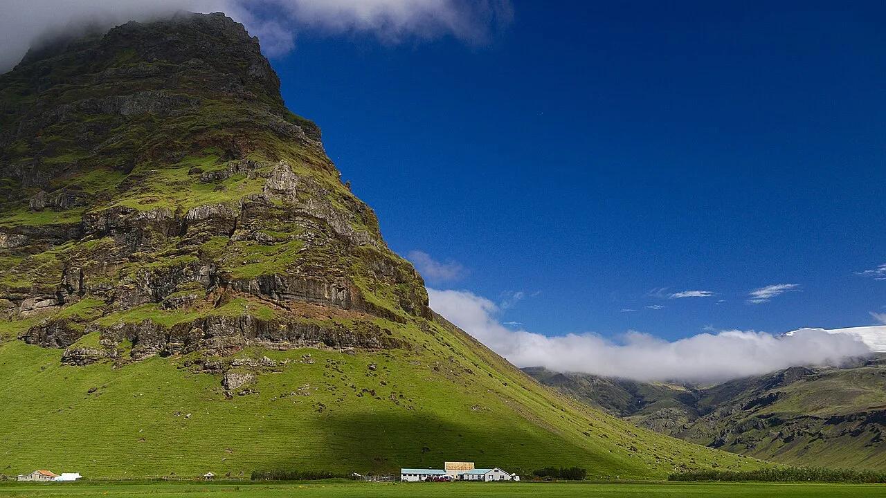
Featured image: bjarkis, CC BY-SA 2.0, via Flickr.
Is Eyjafjallajokull active right now?
Based on the records we checked, Eyjafjallajökull is not erupting. Status last checked 22 November 2026, and volcanic conditions can change without much notice. Live status belongs to the Icelandic Met Office, which monitors Iceland's volcanoes and issues warnings. Check it on the day you travel rather than relying on any article, including this one. The most recent major event was the 2010 summit eruption, and an old news story about it says nothing about today.

What "active" means for this volcano
Volcanologists generally call a volcano active if it has erupted in the Holocene, the roughly 11,700 years since the last ice age, or shows unrest. Under that wording, "active" describes capability, not a current eruption. Eyjafjallajökull erupted in 1821–23 and again in 2010, according to Icelandic Met Office and Smithsonian Global Volcanism Program records. Our page on the 2010 summit eruption covers that event in detail. Dormant and extinct are different labels, and neither fits a volcano with two eruptions in the last 200 years.
- Active: erupted in the Holocene or shows unrest, as Eyjafjallajökull does.
- Erupting: ash, lava or floods are happening now. Only live monitoring can show this.
- Dormant: quiet for a long time but able to erupt again.
- Extinct: no longer expected to erupt.
Will Eyjafjallajökull erupt again? What monitoring shows
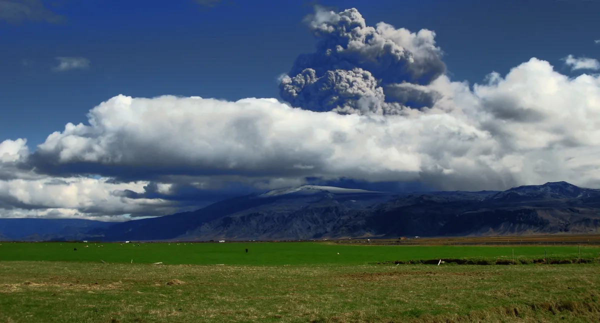
Nobody can give a date. The Icelandic Met Office tracks Iceland's volcanoes with seismic and deformation monitoring, and it publishes warnings when readings change. In 2010, geologist Ármann Höskuldsson told RÚV that most volcanoes erupt, pause for a few weeks, then erupt again. He also said Eyjafjallajökull is not a "large" volcano, a label that needs at least 1 km³ of volcanic material. Treat both remarks as 2010 context, not a forecast. Eyjafjallajökull sits in the Eastern Volcanic Zone, about 25 km (16 miles) west of Katla's volcanic system. No official source we reviewed says one volcano triggers the other. Our guide to a Katla Eruption: Risk, Warning Signs & Travel Impact explains that separate system.
| Question | Best official source | What to check |
|---|---|---|
| Is it erupting or restless now? | Icelandic Met Office | Latest volcanic and seismic notices and flood warnings |
| Is air travel affected? | Eurocontrol and your airline | Network and airspace notices for your flight date |
| Are roads and trails open? | Safetravel.is and the Icelandic road authority | Closures, weather and flood alerts for your route |
| How is it classified? | Smithsonian Global Volcanism Program | Eruption record and volcano type |
Volcano or glacier? What you are looking at
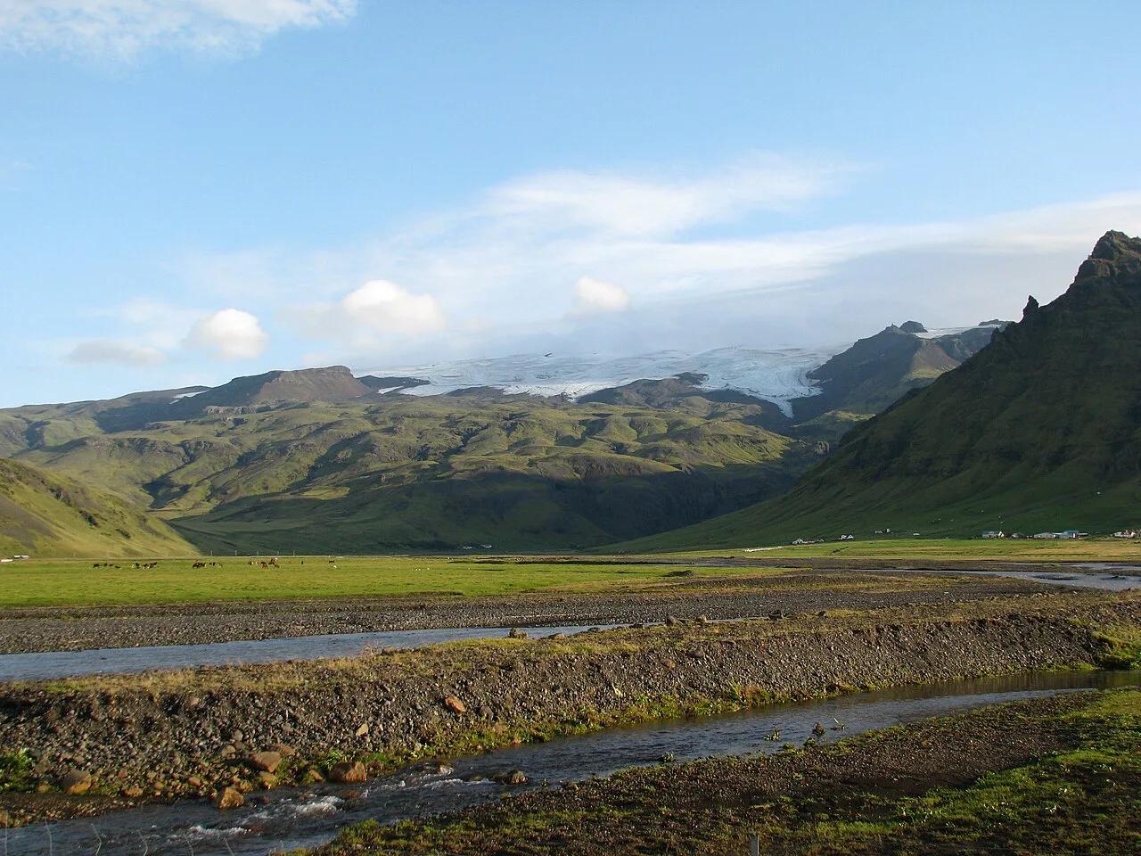
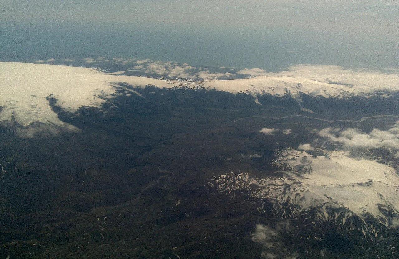
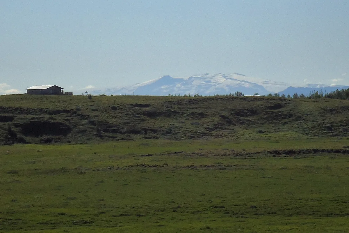
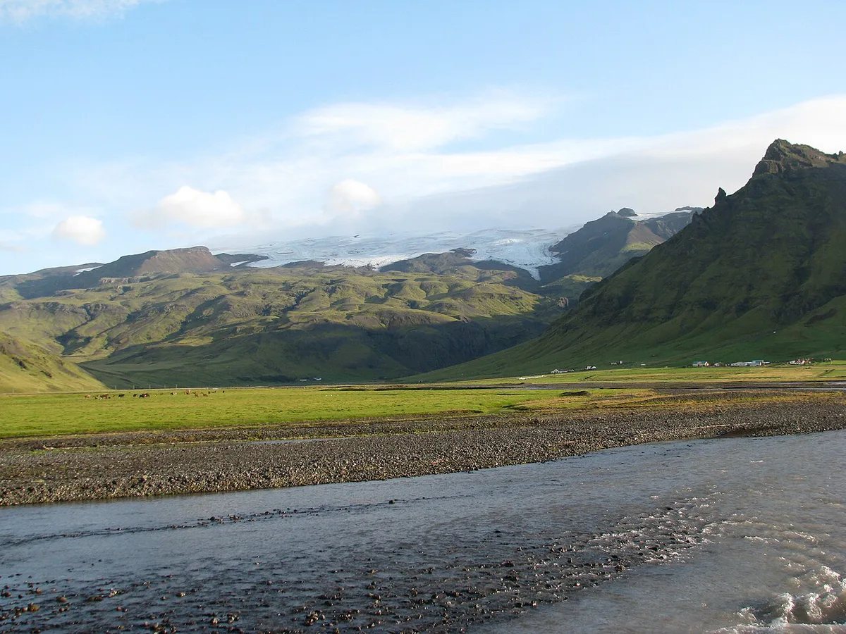
The name covers both. Eyjafjallajökull refers to the ice cap and to the volcano beneath it. Geographers describe an ice-capped stratovolcano with an elongated east–west system of roughly 25 km by 15 km (16 by 9 miles). A summit caldera about 2.5 km (1.6 miles) across lies under the ice. Elevation climbs from near sea level to about 1,650 m (5,400 ft). Gígjökull drains north through a breach in the caldera, and Kaldaklifsjökull lies to the southeast. Our explainer on what type of volcano this is goes deeper. A quick reference sits in the Eyjafjallajökull fact sheet, and the Eyjafjallajökull map shows where each outlet glacier lies.
Hazards that matter to visitors
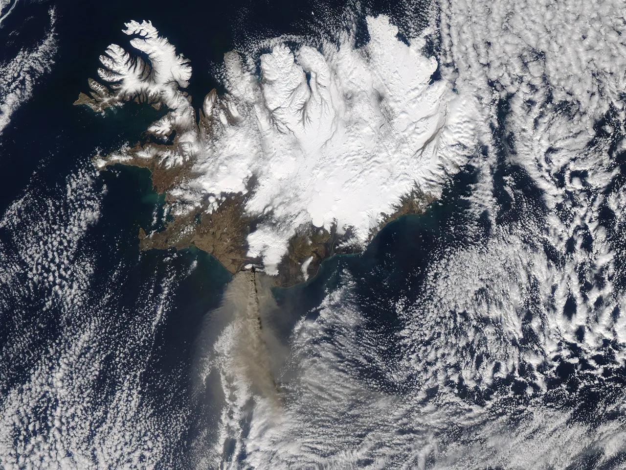
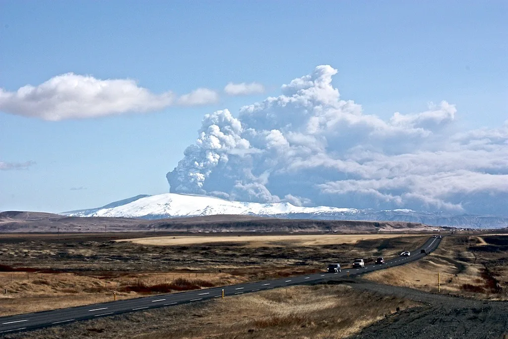
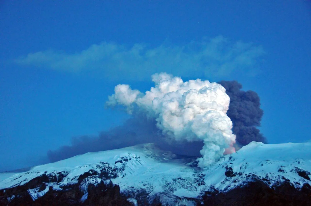
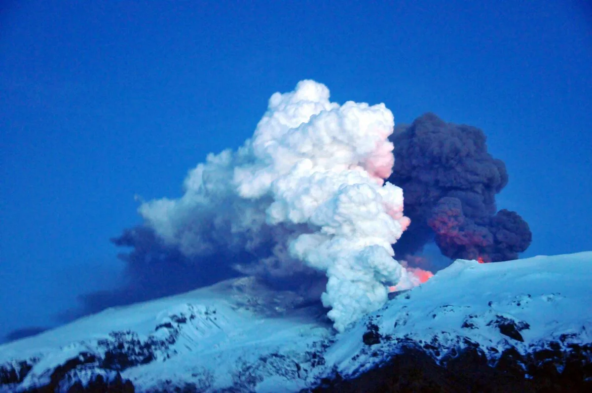
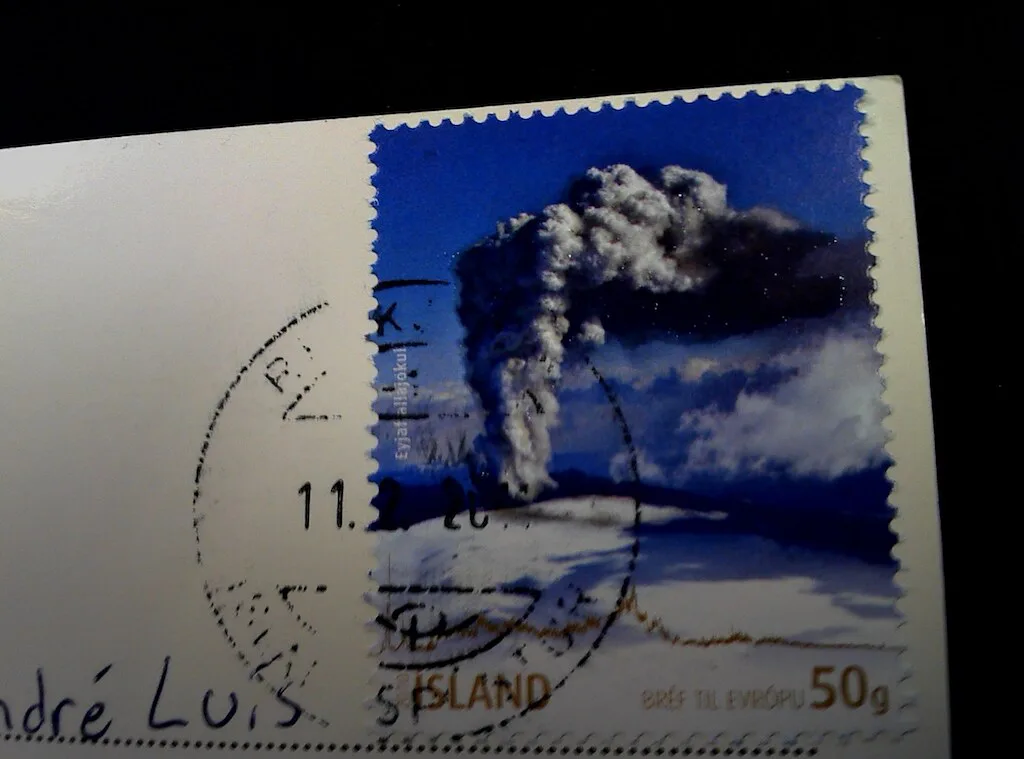
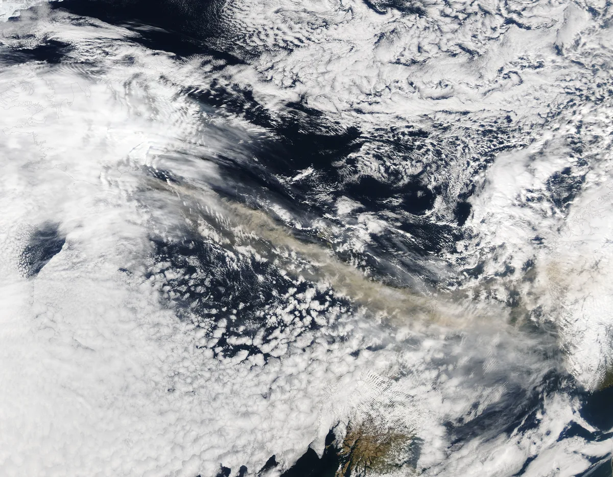
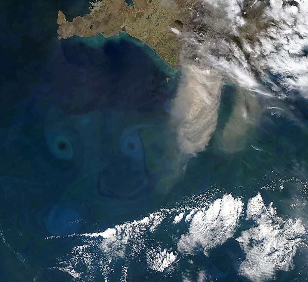
Floods, ash and weather are the practical risks. Heat under the ice melts glacier water quickly, and a jökulhlaup is the resulting glacial outburst flood. During the 2010 eruption, floodwater moved both north and south from the ice cap, according to Icelandic Met Office material. Ash is the second hazard. On 4 May 2010 the Met Office recorded ash reaching 5.8 to 6.0 km (19,000 to 20,000 feet) above sea level. It had spread 65 to 80 km (40 to 50 miles) east-southeast. Ash like that is why flights were disrupted, so Eurocontrol is a useful place to check network notices if you are flying. Steep valleys on the south flank and the Markarfljót river basin to the north can fill fast with meltwater or heavy rain. Cool, wet North Atlantic weather adds to the exposure. Road and trail access changes, so use Safetravel Iceland for current conditions.
Visiting safely: decision criteria
Match your plan to the day's alerts and weather. Skip any outing if the Met Office has a current notice for the area, or if Safetravel flags a closure on your route. The table below compares the four main ways to see the area. Prices, hours and durations are not listed here because operators change them, so use the operator or official site for each. For a long hike, our Fimmvörðuháls hike guide covers the route. A shorter ice-edge visit is described on the Sólheimajökull glacier page. If you prefer to go with a guide, compare Eyjafjallajökull tours. For an easy introduction, see the Eyjafjallajökull visitor center.
Ash reached 5.8 to 6.0 km (19,000 to 20,000 feet) in 2010, so check Eurocontrol for flight notices and Safetravel for road closures before you go.
| Option | What it involves | Access and weather constraint | Who it suits |
|---|---|---|---|
| Fimmvörðuháls hike | Trail between the Eyjafjallajökull and Mýrdalsjökull ice caps | Weather and flood alerts matter most; trail status changes | Experienced, well-equipped hikers |
| Sólheimajökull area | Visiting an outlet glacier of Mýrdalsjökull | Check glacier-edge and weather advice on the official site | Short-stop travelers |
| Visitor center | Indoor background on the area and the 2010 eruption | Hours listed on the official site | Families and wet-weather days |
| Guided tour | Operator-led trip with local conditions knowledge | Confirm it still runs after any alert | Travelers who want local judgment |
- Mistake: treating a 2010 article as current status.
- Mistake: assuming "active" means "erupting".
- Mistake: walking near outlet glaciers or river channels without a current flood and weather check.
- Mistake: trusting a tour to run without confirming it after an alert.
Neighboring volcanoes at a glance
Several nearby pages help with context. Mýrdalsjökull ice cap sits east of Eyjafjallajökull and covers the Katla system. For a regional view, Katla Geopark Guide: What to See, How to Visit describes the area's geology. If you want an indoor look at Icelandic volcanism, visit the Lava Centre exhibition. Hekla's volcano profile and its eruption history are separate subjects. Those pages make no claim about current Hekla status, so use the Met Office for that. For highland scenery in another volcanic area, Landmannalaugar's rhyolite hills make a different kind of trip.
Frequently Asked Questions
When was the last time Eyjafjallajökull erupted?
The most recent major event was the 2010 summit eruption, which sent ash to 5.8 to 6.0 km on 4 May 2010. An earlier eruption ran from 1821 to 1823. Check the Icelandic Met Office for anything newer.