5 Best Ways to See Eyjafjallajökull: Volcano Guide for 2026
Last updated November 2026. Eyjafjallajokull is an ice-capped volcano in South Iceland, above Skógar and Þórsmörk and within reach of Route 1. Its April 2010 eruption sent ash into European airspace and disrupted flights. This guide gives five ways to see it, from a Ring Road stop to a guided trip, so you can match the effort to your time.
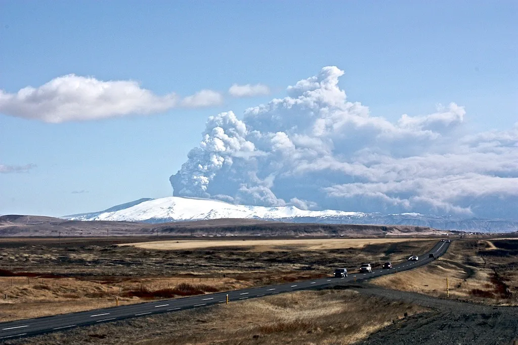
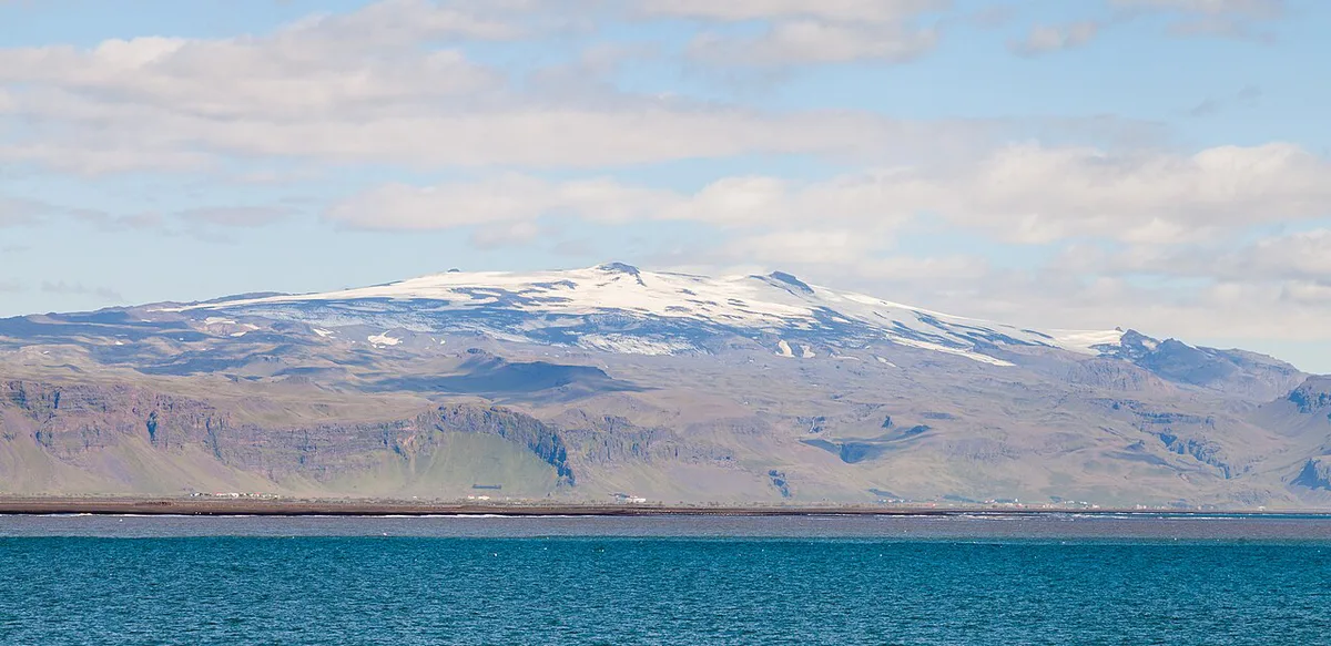
Featured image: Andreas Tille, CC BY-SA 3.0, via Wikimedia Commons.
What Eyjafjallajökull is, in brief
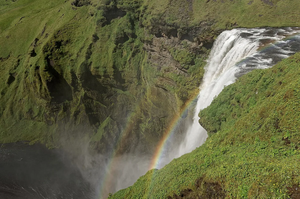
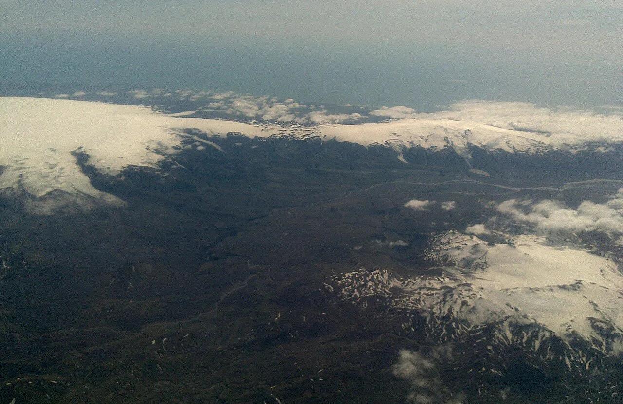
Eyjafjallajökull is a volcano capped by an ice cap of the same name. The glacier and the volcano are separate features, with the ice resting on top of the mountain. Route 1 runs along the South Coast nearby, and Seljalandsfoss and Skógafoss are the waterfall stops most drivers know. The neighbouring ice cap is Mýrdalsjökull. For more numbers, see our Eyjafjallajökull fact sheet. For geology, read what type of volcano it is. A route overview sits on the Eyjafjallajökull map.
| Fact | Detail |
|---|---|
| Region | South Iceland, above Skógar and Þórsmörk |
| Type | Ice-capped volcano |
| Best-known eruption | 2010 |
| Nearest main road | Route 1 (the Ring Road) |
| Neighbouring ice cap | Mýrdalsjökull |
The 2010 eruption and why it mattered
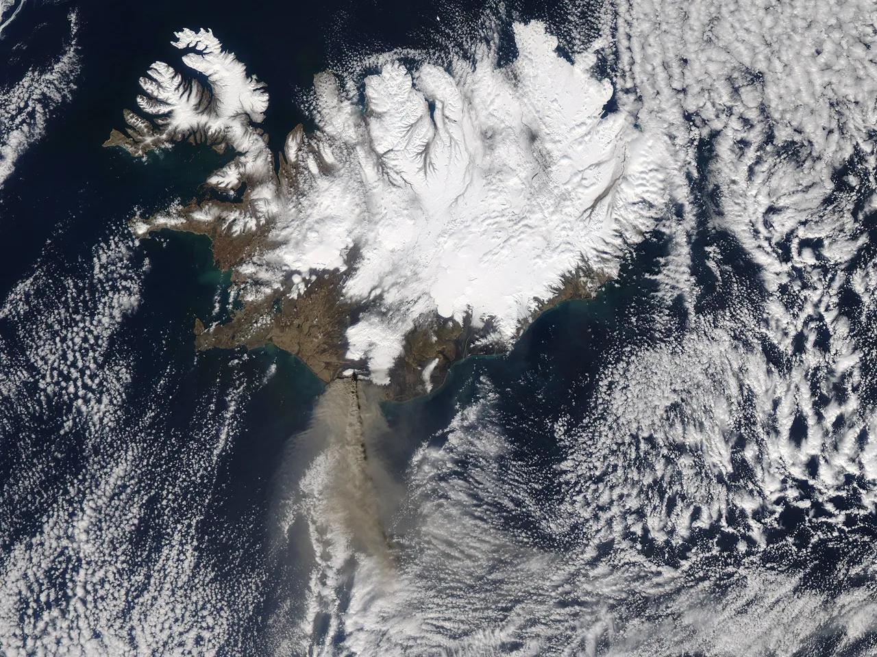
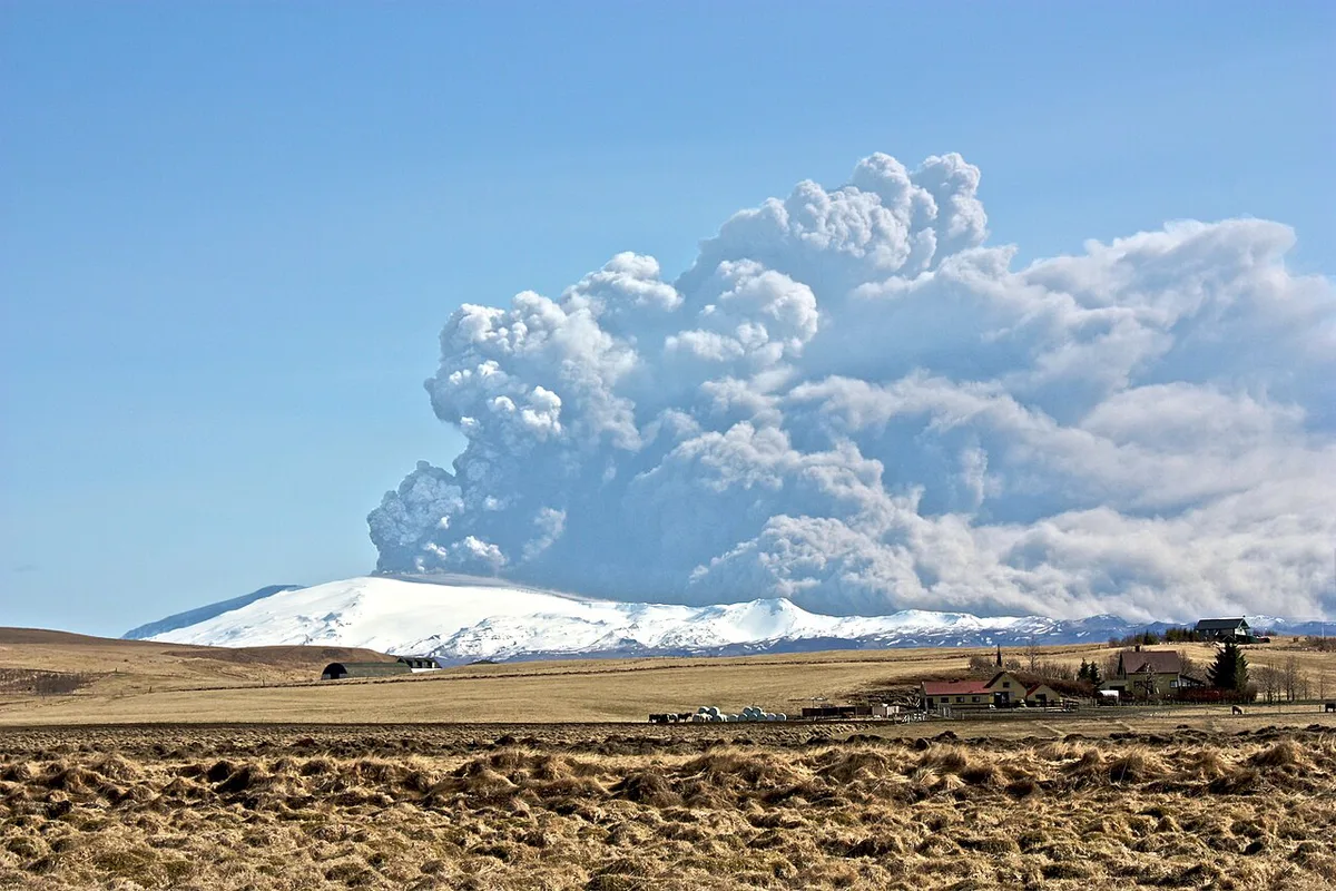
Activity began near the glacier on 21 March 2010. Reports at the time described 500–600 people being evacuated and road closures in the area. Three Icelandair flights bound for Reykjavik from the United States were ordered back. A main summit eruption followed in April 2010, and its ash cloud disrupted air travel across Europe. Travellers remember it because planes stayed on the ground for days. Our 2010 eruption guide covers the full sequence.
Is Eyjafjallajökull active?
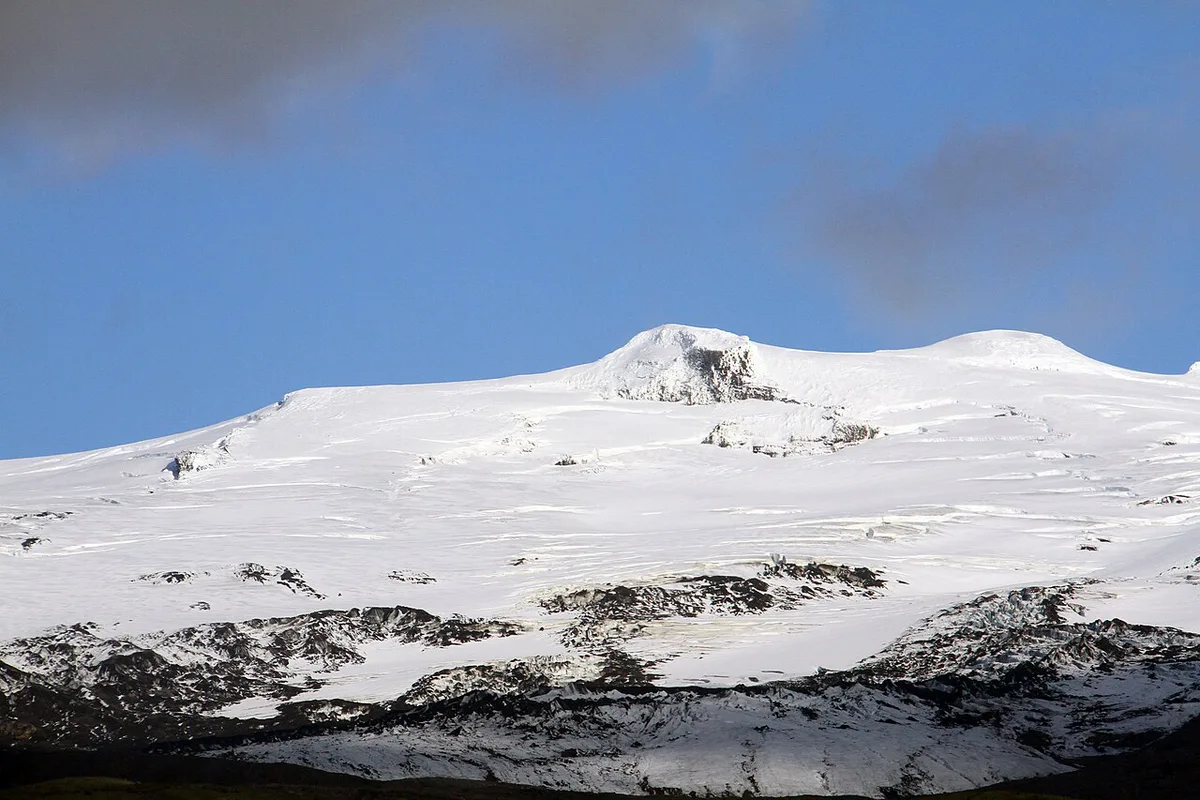
Status changes, so treat any article as background only. The Icelandic Met Office monitors Icelandic volcanoes and publishes current activity levels. Read its notices before you plan a trip toward any volcano. Our activity explainer shows how to read those updates.
5 Best Ways to See and Visit Eyjafjallajokull
Options run from a roadside look to a full day on the mountain. Costs below are relative levels, because operators set their own fees and seasons.
1. Ring Road viewpoints
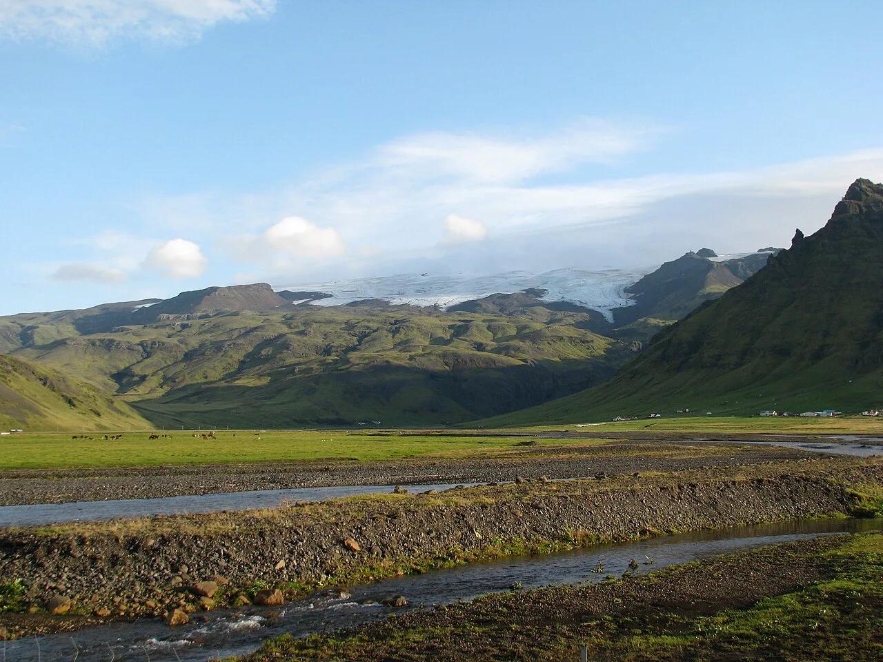
Route 1 follows the South Coast, and on clear days the white dome of the ice cap rises above the lowland. This is the fastest and cheapest option, because it needs no booking and no walking. Pull over near Seljalandsfoss or Skógafoss and look inland.
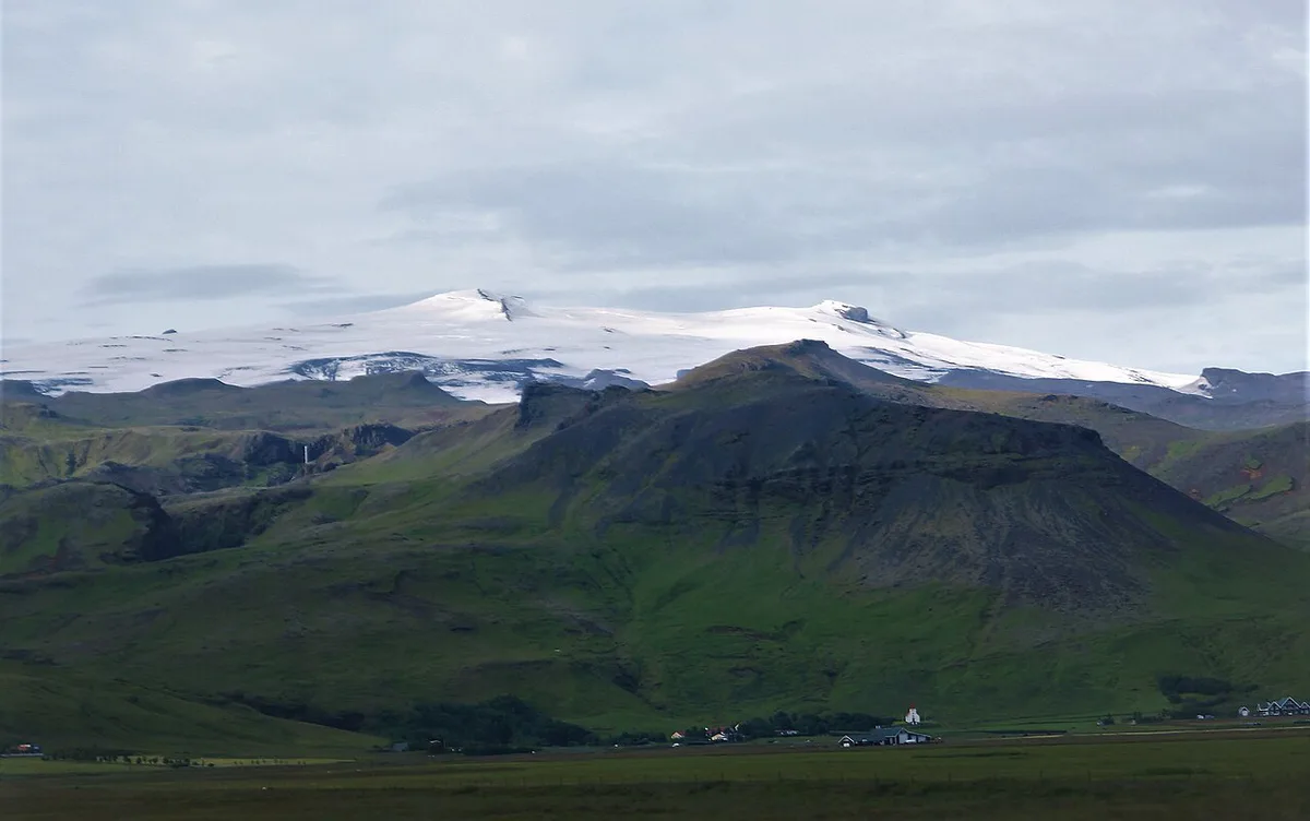
Expect the glacier and mountain outline, not the crater. Low cloud often hides the summit, so leave slack in the day. Skip it if you want a hands-on experience, because a drive-by shows only the shape.
2. The visitor centre
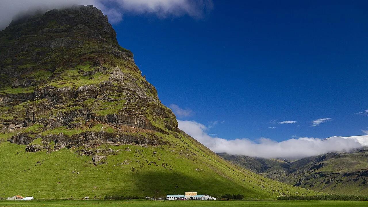
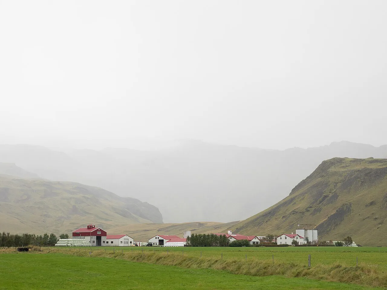
A ground-level stop turns the volcano into a story about the 2010 eruption and the farms near it. Our visitor centre guide explains what to expect. It suits families and anyone who wants context without hiking.
Plan roughly an hour or two, adding time for the drive from Route 1. Hours and prices change by season, so read the official page on the day you plan to go. Skip it if you only have time for photographs from the road.
3. Guided tours
A guided trip is the safest route onto glacier ice, because guides carry the equipment and read the conditions. Browse Eyjafjallajökull tours to compare formats. Tours suit non-drivers, first-time glacier walkers and anyone nervous about weather.
Cost is the highest of the five options, and operators set age and fitness requirements. Book ahead in summer, and expect cancellations if wind or ice conditions turn poor. Skip it on a tight budget, since the Ring Road and visitor centre cost far less.
4. The Fimmvörðuháls hike
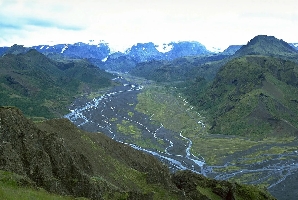
Fimmvörðuháls is a mountain route between the high ground near Skógar and Þórsmörk, and it is the demanding choice here. Our Fimmvörðuháls hiking guide covers the route. You need sturdy boots, layers and a full day, and weather can change quickly on the pass.
Ferðafélag Íslands publishes hiking information and mountain-hut details. It rewards fit walkers with close views of volcanic ground. Skip it if you have young children, limited fitness or only a half day.
5. Nearby glacier and geopark stops
Pairing the volcano with its neighbours fills a full day without long hikes. Sólheimajökull is a glacier tongue that visitors can approach on foot. Stops within the Katla Geopark Guide: What to See, How to Visit explain the wider volcanic landscape.
The Lava Centre offers an indoor option when rain closes in. This route suits mixed groups, because each stop is short and weather-proof alternatives exist. Skip it if you want one deep experience rather than several short ones.
Plan your time and choose your option
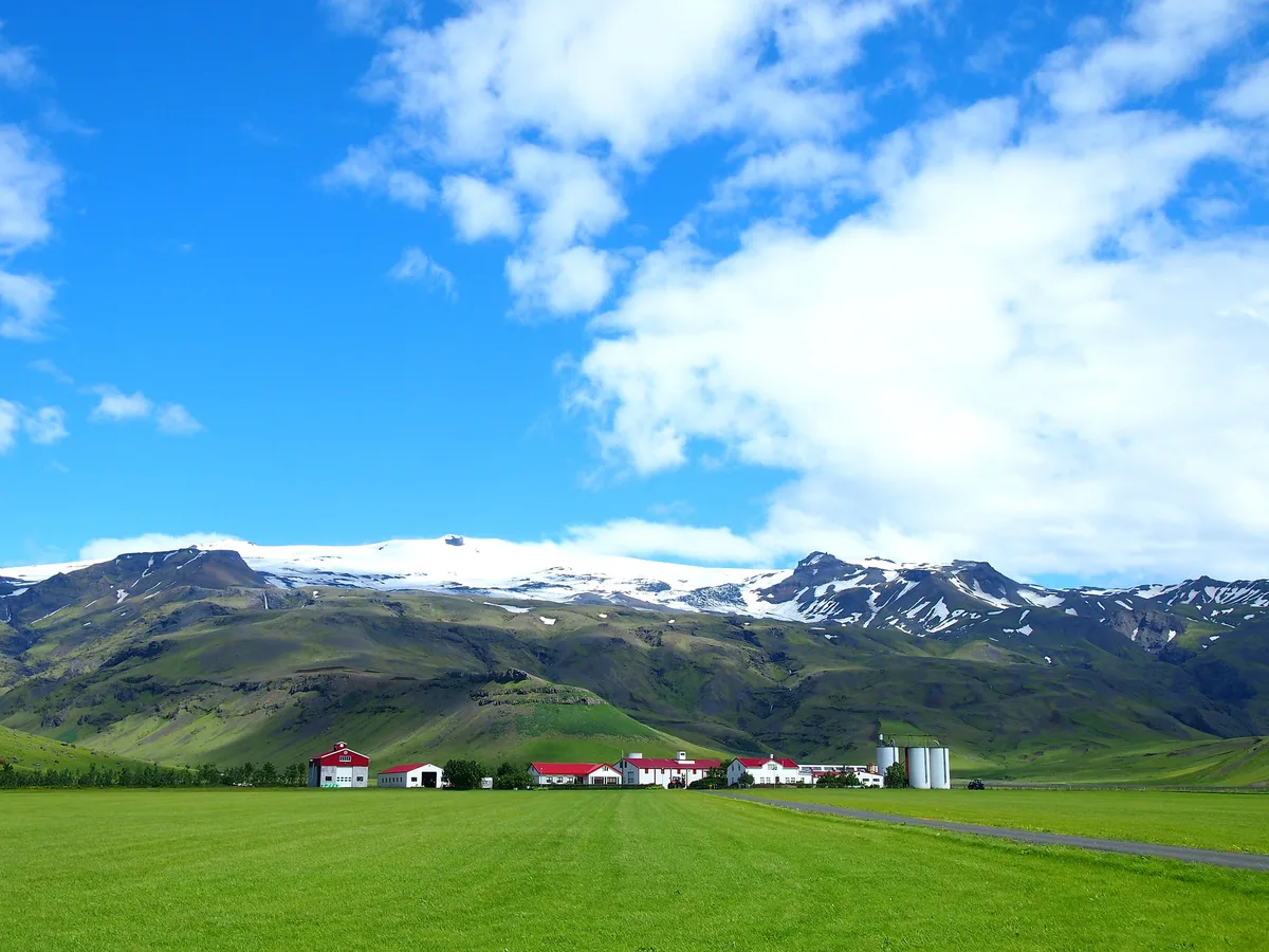
A drive-by needs little more than a stop at a viewpoint. A half day fits a visitor centre or a nearby glacier stop. A full day suits a guided trip or Fimmvörðuháls.
Drivers can combine Route 1 (the Ring Road) with the visitor centre or a glacier stop, so one drive covers both the half-day and full-day options.
| Option | Time needed | Cost level | Effort | Best for |
|---|---|---|---|---|
| Ring Road viewpoints | Short stop | Lowest | None | Time-pressed drivers |
| Visitor centre | Half day | Low | Easy | Families |
| Guided tour | Half to full day | Highest | Moderate | Non-drivers |
| Fimmvörðuháls hike | Full day | Low to moderate | High | Experienced hikers |
- Time-pressed driver: view from Route 1 and add one waterfall stop.
- Family: choose the visitor centre and a short glacier-side walk.
- Hiker: plan Fimmvörðuháls with good weather and full gear.
- Non-driver: book a guided tour that includes transport.
Costs, access and getting there
Costs run from free roadside views to the highest-priced guided trips, and winter conditions can limit access. For driving routes and journey times, use the Safetravel Iceland site and Iceland's road administration for closures.
Nearby volcano and glacier stops
Eyjafjallajökull sits among other South Iceland volcanic sites. Katla lies in the same region and has its own history. Read about a Katla Eruption: Risk, Warning Signs & Travel Impact for comparison. Hekla is a separate volcano further inland. Its past activity is covered in the Hekla eruption guide. Hikers who want colour and hot springs can add Landmannalaugar on another day.
Visit safely and responsibly
Glacier travel, flood and ash hazards and fast weather changes all affect this area. Check Safetravel Iceland for weather alerts and travel advice. Stay on marked paths and respect private farmland. Mistakes to avoid:
- Expecting to see the crater from the road.
- Ignoring weather and road closures.
- Underestimating Fimmvörðuháls.
- Walking onto glacier ice without a guide.
Explore More Guides
Keep planning your trip with these guides.
Guides
- Katla Volcano, Iceland
- Sólheimajökull Glacier Guide
- Hekla Volcano Guide
- Eyjafjallajökull Eruption 2010
- Route, Safety & Getting Back (Skógar to Þórsmörk)
- Katla Geopark Guide
- Mýrdalsjökull Glacier Guide
- LAVA Centre Iceland: Is It Worth a South Coast Stop?
- What Type of Volcano Is Eyjafjallajökull? Stratovolcano Explained
- Eyjafjallajökull Map
- Is Eyjafjallajökull Active? Status, Risks & Visiting
- Eyjafjallajökull Facts
- Katla Eruption: Risk, Warning Signs & Travel Impact
- Hekla Eruption: Last Eruption, Warning Signs & Visiting Safety
- Eyjafjallajokull Tours: Which Reach the Volcano (2026)
- Landmannalaugar Travel Guide
- Eyjafjallajökull Visitor Center