

Why Iceland Has So Many Volcanoes: Rift + Hotspot
Last updated November 2026: why does Iceland have so many volcanoes? Because the island sits on the Mid-Atlantic Ridge, where the North American and Eurasian plates pull apart, and above a mantle plume. This guide explains how those two forces work together, what "so many" really means, and which sites let you see the results. For the full overview, start with our Iceland volcano guide.
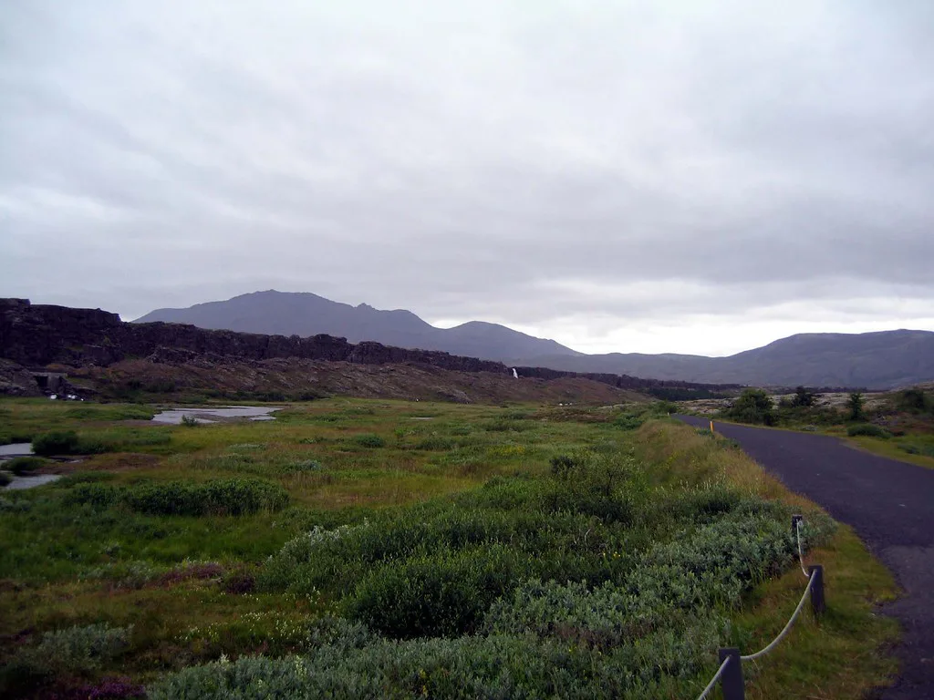
Featured image: Bryan Pocius, CC BY 2.0, via Flickr.
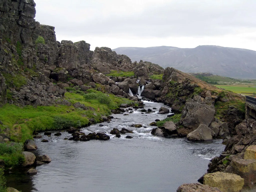
The short answer: why does Iceland have so many volcanoes
Two processes overlap beneath Iceland. Plate spreading along the Mid-Atlantic Ridge lets magma rise through the crust. A mantle plume, often called a hotspot, adds extra melt on top of that. Few places on Earth combine both, which is why eruptions here are frequent and varied. The next two sections take each cause in turn.
- Cause 1: a plate boundary that is pulling apart.
- Cause 2: a plume that feeds more magma than a normal ridge.
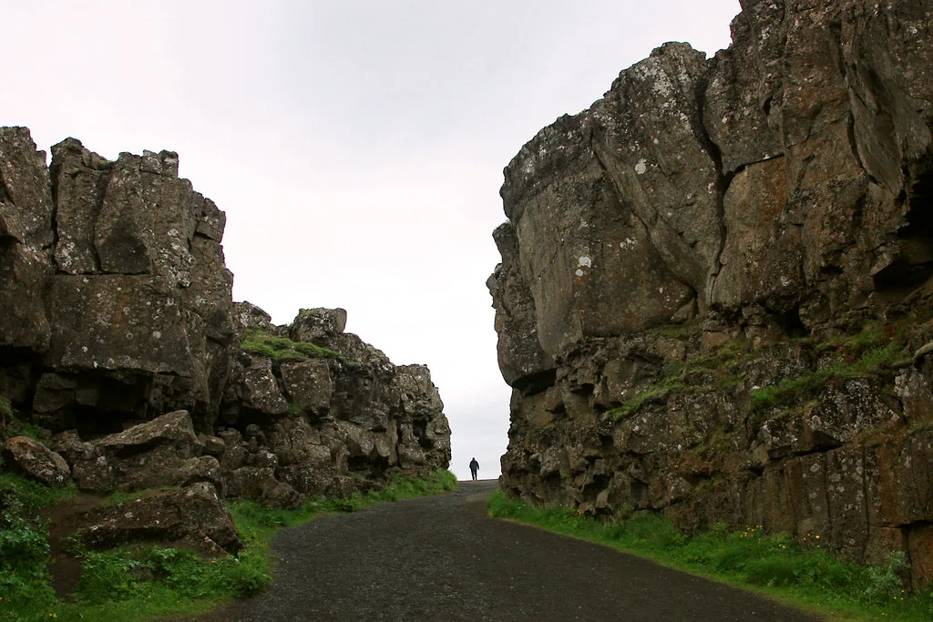
Cause 1: Iceland sits on a spreading plate boundary
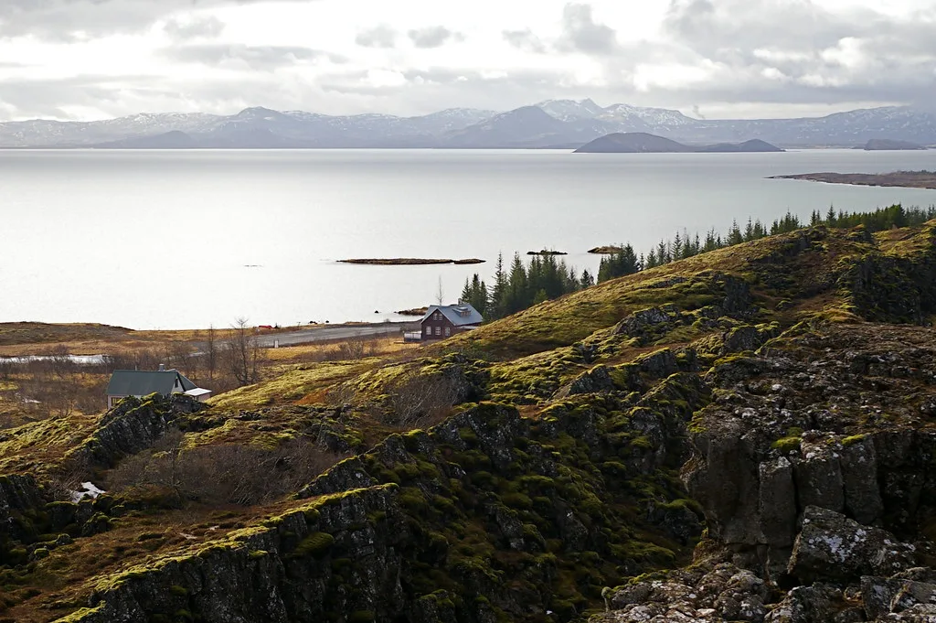
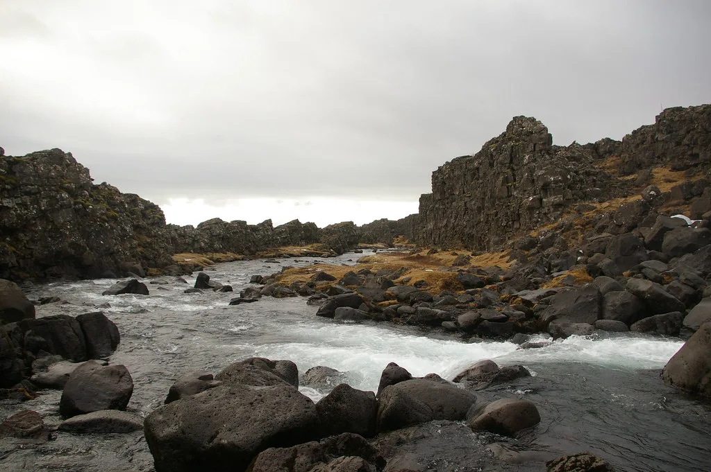
The Mid-Atlantic Ridge runs down the middle of the Atlantic Ocean. Along it, the North American and Eurasian plates drift away from each other. As the crust stretches, hot rock from below melts and rises to fill the gap. Iceland is one of the few places where this ridge rises above sea level, so you can walk across features that sit underwater almost everywhere else. Rift zones cut across the island from the southwest to the north. Visitors meet them at the steaming ground of Krýsuvík and the geothermal slopes of Hengill. Even new land forms here: Surtsey was built by eruptions on the ridge. The Surtsey Research Society documents how life colonised that island.
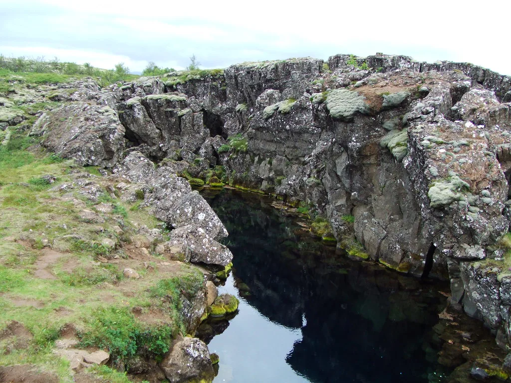
Cause 2: A mantle plume feeds extra magma
A mantle plume is a rising column of unusually hot rock from deep inside the Earth. Under Iceland, it adds melt to a ridge that would already be active. That is why Iceland is far more productive than a typical ridge segment, and why it rises above the ocean at all. Scientists still debate details such as how deep the plume starts and how wide it is. The broad picture is not in doubt. Spreading opens the pathways, and the plume keeps the magma supply high. Neither cause alone would produce the same density of eruptions.
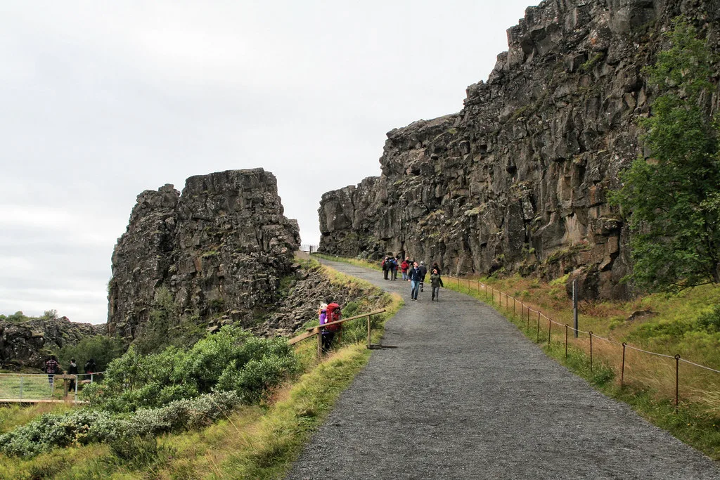
What "so many volcanoes" really means
Any count of Iceland's volcanoes depends on the definition. Geologists group them into volcanic systems, each with a central volcano, a fissure swarm, or both. A central volcano is a long-lived cone or caldera. A fissure is a crack that opens and erupts along its length. Some eruptions happen under ice, and many craters are single-use vents. Figures around "over 130" circulate online, but without a stated definition they mislead. Treat any single number with caution, and avoid claims that Iceland has the most volcanoes of any country.
- Myth: all the volcanoes sit on one straight line. In reality, the zones fan across the island and include flank zones off the main rift.
- Myth: an ice-covered volcano is dormant. Several of the most active systems lie under glaciers.
- Myth: a volcano is always a neat cone. Many Icelandic eruptions come from long fissures or flat shield-style vents.
The main volcanic zones at a glance
Iceland's activity clusters in a handful of zones. This table pairs each with what drives it and how you can meet it on a trip.
| Zone or system | What drives it | Typical style | How visitors meet it |
|---|---|---|---|
| Reykjanes and Krýsuvík | Plate boundary coming ashore | Fissure eruptions and lava fields | Steam fields at Gunnuhver and Krýsuvík |
| Westman Islands | Southern offshore volcanic zone | Eruptions that built new land | Eldfell and the Eldheimar museum |
| Hekla and the southern zone | Rift and plume influence | Explosive and effusive episodes | Seen from the roadside; no dedicated page |
| Vatnajökull region | Plume and rift together | Subglacial eruptions, floods | Grímsvötn, Bárðarbunga, Holuhraun, Öræfajökull |
| Central highlands | Geothermal fields over active systems | Hot springs and steam vents | Kerlingarfjöll and Hveravellir |
| Lava landscapes | Past fissure eruptions | Vast lava flows, now cooled | Eldhraun and other lava fields |
Why eruptions here are different: ice, fissures and ash
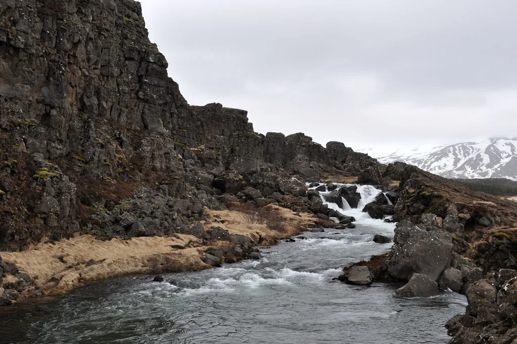
Ice changes how Icelandic eruptions behave. When magma meets a glacier, meltwater can collect and burst out as a glacial flood called a jökulhlaup. Subglacial eruptions also throw fine ash high into the air. The 2010 Eyjafjallajökull eruption showed how that ash can disrupt European air traffic. Fissure eruptions work differently. They open long cracks and release large volumes of lava. The Laki fissure eruption of 1783–84 is the classic example, and its gases caused severe harm across the country. For a plain overview, read our page on what an eruption looks like. Our list of Active Volcanoes in Iceland: Where to See Them Safely covers the systems that matter most today.
Laki's fissure eruption of 1783–84 caused severe harm across the country, so check Safetravel Iceland for closures on Reykjanes.
Reykjanes: recent activity and what it means for visitors
The Reykjanes peninsula has seen repeated activity in recent years, and conditions can change within hours. Check the Icelandic Met Office for current volcanic status before travelling there. Closures and hazard zones are posted by Safetravel Iceland. Our guide to travelling during an eruption explains how to plan around them.
How to see Iceland's volcanic geology
Your choice depends on effort, season and how much time you have. Each option below trades something for something else.
- Easy and low-cost: roadside craters such as Grábrók, Saxhóll, Eldborg and Rauðhólar. These are quick stops, but check path rules and access before you go.
- Indoors and weather-proof: Eldheimar tells the story of the Westman Islands eruption. The lava show in Reykjavik is a staged demonstration, not a natural eruption. Details are on the official Lava Show site.
- Geothermal surface features: Geysir, Gunnuhver and Hveravellir show the heat below without any hiking on lava.
- Guided and glacier-linked trips: see volcano tours. Skip these if you want a flexible, low-effort day. Highland and glacier sites usually need a guide or a 4x4, and seasonal road access is limited.
Where to go next
Use our volcano map of Iceland to place each site on the island. If you are curious which peak is largest, our page on the Biggest Volcano in Iceland: Öræfajökull Explained defines "biggest" by height, volume and area. Return to the main volcano guide to plan a full route.




