
Holuhraun Lava Field: Access, Tours and Safety
Last updated November 2026. Holuhraun is the lava field north of the Dyngjujökull glacier in the Icelandic highlands, formed in the 2014–2015 eruption of the Bárðarbunga volcanic system. It is a remote site, reached only by F-road with a suitable 4x4 in a short summer season. This guide covers what happened, what you can see, how to get there and when to skip it.
Featured image: explorationmuseum, CC BY 2.0, via Flickr.
Holuhraun at a glance
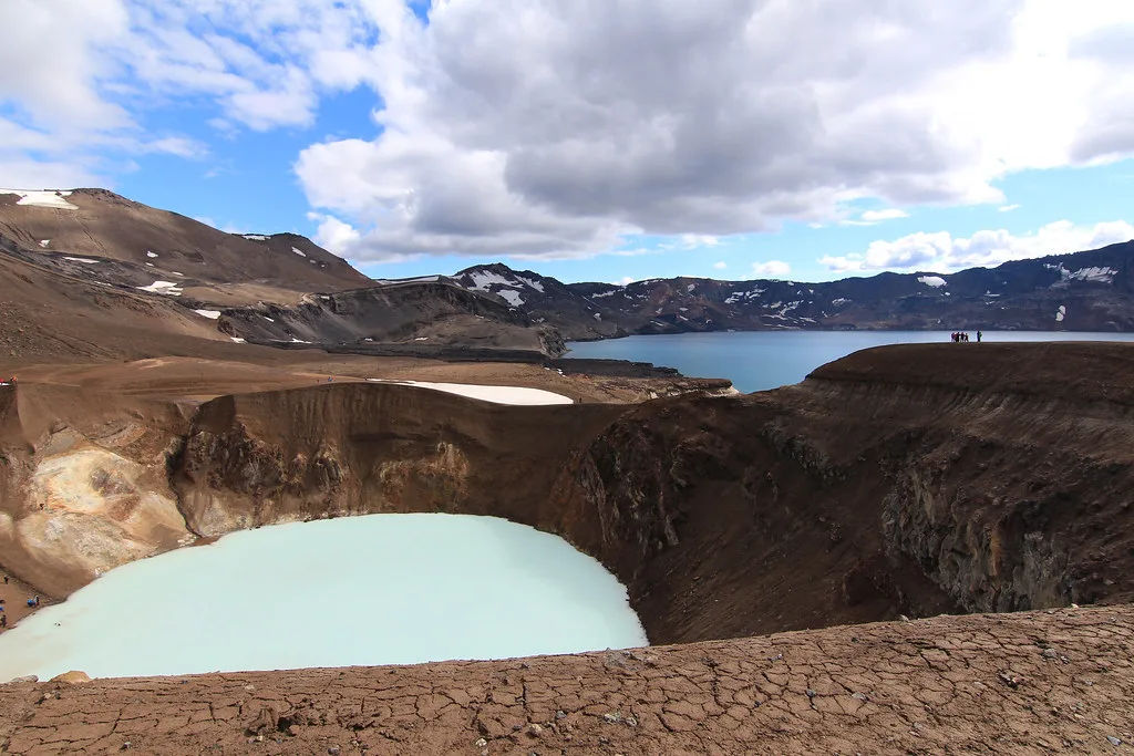
Holuhraun sits on a sand plain north of the Dyngjujökull ice margin, in the highlands of Vatnajökull National Park country. The eruption that built the lava field began on 29 August 2014 and ended around the end of February 2015. Reaching it means a long detour from Askja and the Dreki area, so plan a full day or an overnight rather than a quick stop. Access depends on season, weather, river crossings and hazard closures, so check live sources before you commit.
| Question | Short answer |
|---|---|
| What is it? | A lava field from the 2014–2015 Bárðarbunga-system eruption |
| Where is it? | North of Dyngjujökull, in the Icelandic highlands |
| How do you get there? | By F-road, with a suitable 4x4 or on a guided tour |
| When can you go? | Summer only, when highland roads are open |
| Who should skip it? | Visitors without a 4x4 or a flexible multi-day window |
What happened in the Holuhraun eruption of 2014–2015
Seismic activity under Bárðarbunga and the fissure swarm to its north built up in the weeks before the eruption. A magma-filled dyke then moved first southeast and later northeast, passing under the Dyngjujökull glacier. No eruption broke through the ice. Instead, lava appeared on 29 August 2014 on an old fissure about 5 km north of the ice margin, and the eruption ran for roughly six months.
The event also drained magma from the Bárðarbunga caldera, whose ice-covered floor subsided while the lava field grew. Researchers published this link between caldera collapse and lateral magma flow in Science in 2016. For current figures on area and volume, use the Icelandic Met Office eruption summaries. For the wider volcanic system, read our guide to active volcanoes and the explainer on why Iceland has so many volcanoes.
What you can see on the lava field today
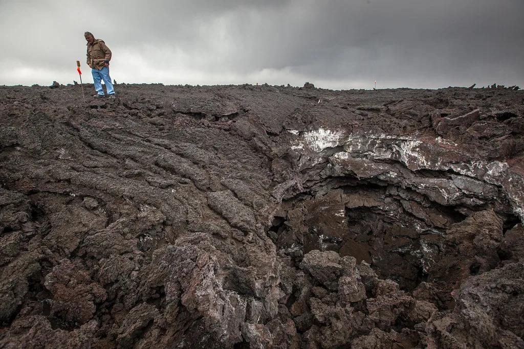
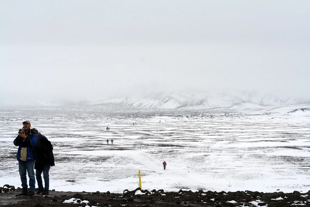
Most of the plain is black or grey coarse sand and ash. Older lava remnants show through in places. Visitor reports describe a marked route on the western edge where the lava crust has collapsed over emptied channels, leaving caves and broken roofs.
Much of the lava is spongy because it held so much gas. That makes it vulnerable to erosion. Freeze-thaw cycles, rain and sandstorms grind it down, so the surface looks different from photos taken in 2014 and 2015. Lichen and a few green shoots have started to appear, but sand buries small patches easily.
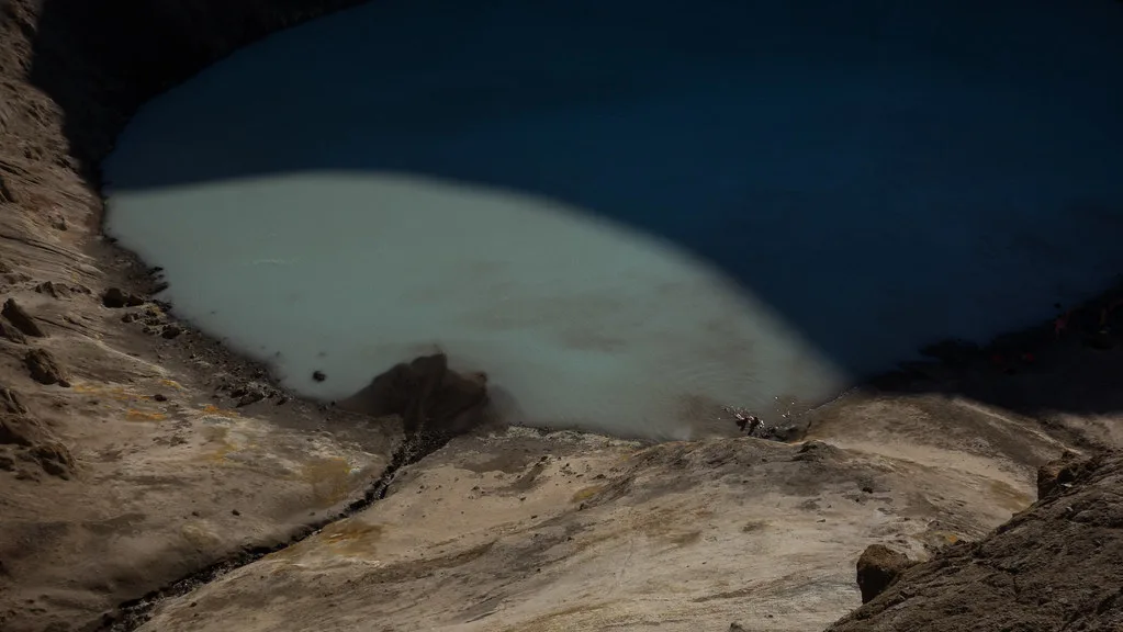
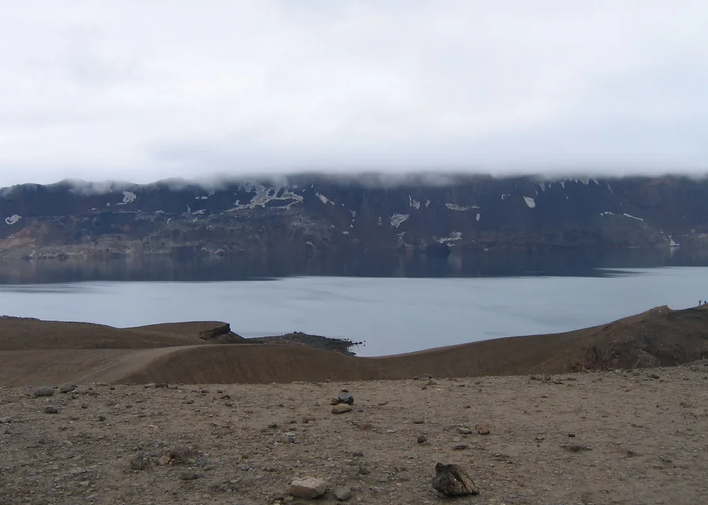
Across the plain, you look toward Dyngjujökull and the Askja side of the highlands. Conditions change with each season, so treat older trip accounts as a guide rather than a promise.
How to get to Holuhraun
The usual approach runs through the Askja and Dreki area, then onto highland tracks to the lava field. These are F-roads, which are rough mountain tracks that open only in summer. Rivers cross some of them, and you need a high-clearance 4x4 plus experience driving through water. Look up exact road numbers and crossing conditions on the Icelandic Road Administration's F-road map before you leave, because they change with melt and rain.
A visitor route on the western edge has been used in past seasons. Ask rangers or your tour operator whether it is still marked this year.
| Option | Effort | Best for |
|---|---|---|
| Self-drive via Askja and Dreki | Long full day or overnight, river crossings | Experienced F-road drivers with flexible dates |
| Guided super-jeep tour | Fixed schedule, driver handles the terrain | Travellers who want the site without the driving risk |
| Skip it for an easier site | Half day or less near Reykjavik | Visitors without a 4x4 or outside summer |
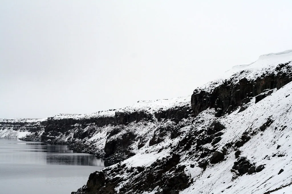
Self-drive or guided tour
Self-driving gives you control of timing, but you carry every risk yourself. Guided tours cost more and fix the schedule, yet they remove river-crossing and navigation stress. Check operator listings through Visit Iceland and confirm that a tour actually reaches the lava field this season.
| Factor | Self-drive | Guided tour |
|---|---|---|
| Vehicle | Rented high-clearance 4x4 approved for F-roads | Operator's super-jeep or modified truck |
| Skill needed | River crossings, sand, remote navigation | None beyond a long day outdoors |
| Risk | Yours, including insurance gaps | Shared with an experienced guide |
| Flexibility | High | Fixed itinerary |
| Relative cost | Fuel, rental and camping add up | Higher per person, fewer extras |
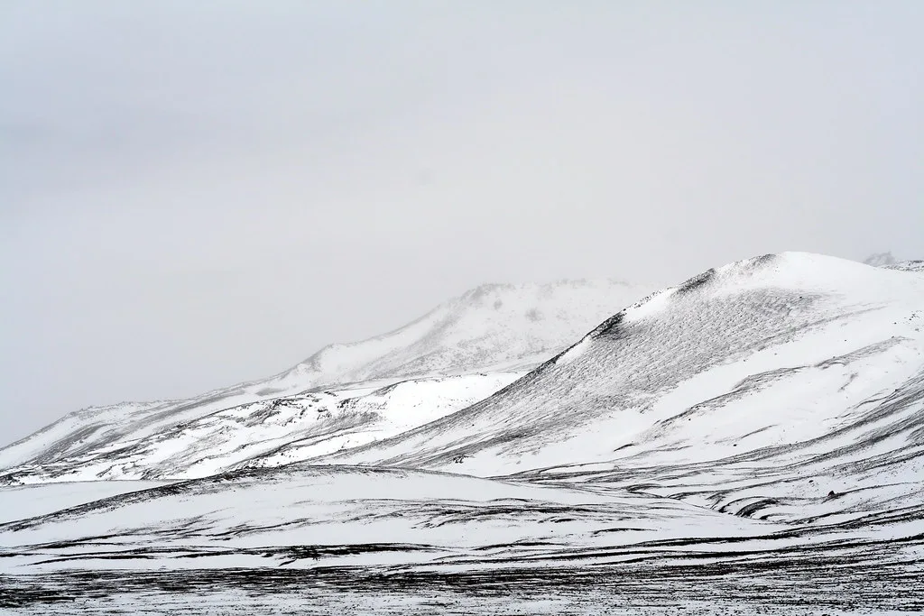
Costs and practicalities
No official source gives a single price for visiting Holuhraun, because costs depend on your vehicle, tour choice and nights spent in the highlands. Compare a 4x4 rental with a guided tour for your own dates. Read the rental contract closely, since many exclude damage from gravel, water and sand, and highland insurance is often separate.
Fuel up before you leave the main road, as there are no services on the highland tracks. Mobile coverage is patchy. Camping and hut options near Askja and Dreki fall under Vatnajökull National Park rules, so check the national park site for current facilities and any fees.
When to go
Highland roads open only in summer, and the exact date shifts with snowmelt each year. Do not plan around a fixed opening day. Daylight is long in summer, but wind can lift sand across the plain and cut visibility fast. Pack windproof layers and eye protection. Weather can swing within hours, so keep a spare day in your schedule.
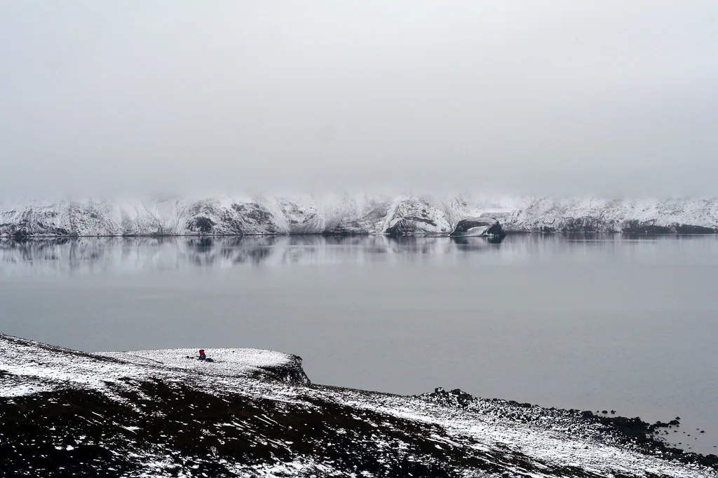
Safety and live-status checklist
Hazards include uneven lava with collapsed roofs, sandstorms, swollen rivers and a remote location inside an active volcanic system. Closures and eruption alerts can change at short notice. Check each of these before you set out:
- The Icelandic Met Office for volcanic and seismic activity
- Safetravel Iceland for road, weather and highland alerts
- The Icelandic Road Administration F-road map for open tracks
- Vatnajökull National Park rangers for area guidance
Mistakes to avoid at Holuhraun
These errors cause most highland problems:
- Underestimating river crossings and driving into water you have not assessed.
- Renting a vehicle whose terms exclude F-roads or water damage.
- Skipping fuel planning before the long detour from Askja.
- Leaving without a road-status or ranger check.
- Walking on thin lava roofs, which can collapse over hollow channels.
Nearby highland stops
Holuhraun fits with other stops on the same highland loop. Askja and the Dreki camp are the usual base for the approach. Herðubreið and Upptyppingar are landmarks seen along the way, and Dyngjujökull is the glacier edge north of Bárðarbunga. Further west, Kerlingarfjöll and Hveravellir offer other highland geothermal areas, though they are separate trips.
Easier alternatives for volcano fans
Holuhraun is not worth the effort without the right vehicle or time. Several volcanic sites are far easier to reach. Compare other lava landscapes in our Iceland lava fields guide. Visit Eldhraun for a mossy lava field near the south coast.
A 4x4 is the entry ticket here, so without one, skip the detour and choose Eldhraun or the Westman Islands instead.
Near Reykjavik, try the lava show in Reykjavik or walk around Krýsuvík. On the Westman Islands, Eldheimar tells the story of the 1973 eruption. If you want a guided option, see our volcano tours overview. For travel safety during eruptions, read our eruption safety guide.
For the wider city context, see our complete tourism attractions guide.
Frequently Asked Questions
What is a lava field?
A lava field is a broad area covered by solidified lava from one or more eruptions. Holuhraun is one, formed by the 2014–2015 fissure eruption. Our guide to Iceland's lava fields compares others.
Is the volcano in Iceland still erupting in 2026?
Eruption status changes, so check the Icelandic Met Office for current activity. Holuhraun's eruption ended around the end of February 2015.




