Eyjafjallajökull Facts: Height, 2010 Eruption & Quick Guide
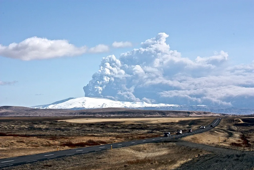
Last updated November 2026: these Eyjafjallajokull facts cover an ice-capped stratovolcano in South Iceland, about 1,666 m (5,466 ft) high by most accounts. It is best known for the April 2010 eruption that closed much of European airspace. Below you will find a facts table that flags where figures disagree, the eruption history, the Katla connection and the Route 1 spots where you can actually see it.
Featured image: Bromr, CC BY-SA 3.0, via Wikimedia Commons.
Eyjafjallajökull facts at a glance
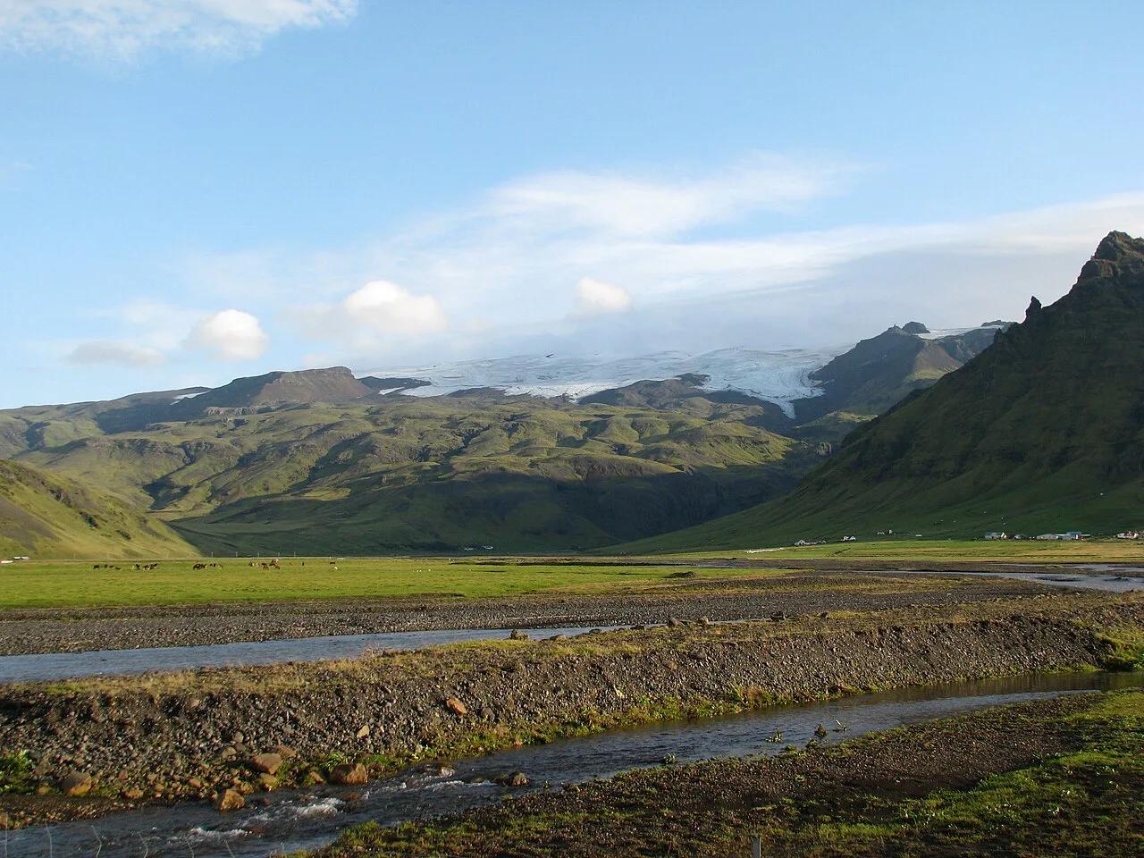
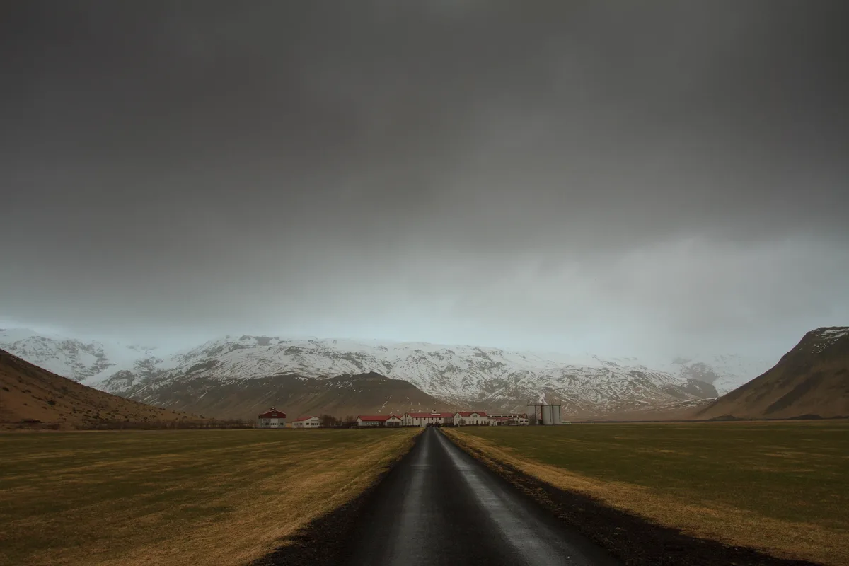
Eyjafjallajökull rises directly above Route 1 between Seljalandsfoss and Skógafoss, roughly two hours' drive east of Reykjavík. Hvolsvöllur, about 30 km (19 miles) west, is the nearest service town. Where published figures disagree, the table shows both values.
| Fact | Figure | How sources compare |
|---|---|---|
| Type | Ice-capped stratovolcano | Consistent |
| Height | About 1,666 m (5,466 ft) | Some sources give 1,651 m (5,417 ft) |
| Ice cap area | About 78 km² (30 sq mi) | Another source says about 100 km² (39 sq mi) |
| Summit caldera | About 2.5 km (1.6 mi) across, filled with ice | Ignore the "3–4 metres" figure; it is a unit error |
| Location | South Iceland, on Route 1 near Skógar and Seljalandsfoss | Consistent |
| Name meaning | Glacier of the island mountains | Consistent |
| Historical eruptions | Around 920, 1612–1613, 1821–1823, 2010 | Early dates are approximate |
| Last eruption | 2010: fissure from March 20, summit from April 14, faded late May | Consistent |
| Airspace closure | Roughly 6 days to a week | Published figures span this range |
| Ash column | More than 8 km to 9 km (5 to 5.6 miles) | Published figures span this range |
Why the height figure varies
The gap between 1,666 m and 1,651 m probably reflects the ice cap's high point versus the summit peak on some maps. Some maps list the lower figure for the peak itself. For an official number, check the Icelandic Met Office. Prices and hours are not a factor here, since the volcano has no gate or ticket.
What the name means and how to say it
Eyjafjallajökull joins three words: eyja (islands), fjalla (mountains) and jökull (glacier). Together they mean roughly "glacier of the island mountains." The islands are the Westman Islands offshore. Icelanders often shorten the name to Eyjafjöll, which also names the mountains and the district. Break the name into those three chunks to make it manageable. No phonetic spelling here is verified, so listen to a local speaker for the final result.
What kind of volcano is Eyjafjallajökull?
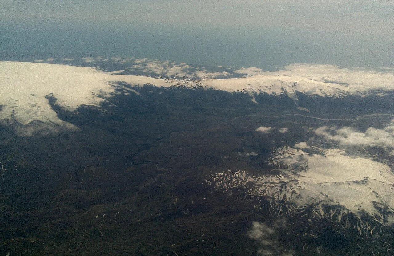
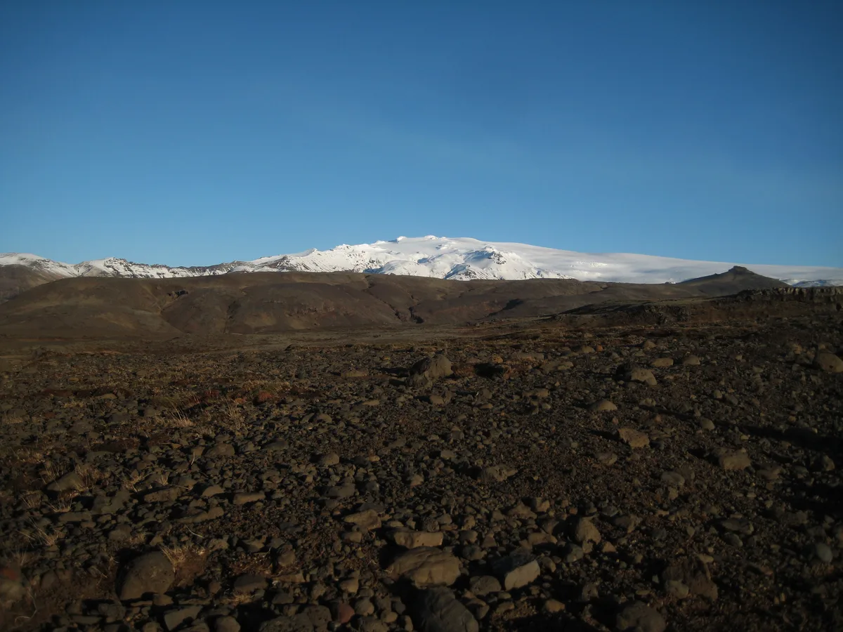
It is a stratovolcano, a steep cone built up from layered lava and ash. Its summit caldera is about 2.5 km (1.6 miles) across and filled with ice. An ice cap of about 78 km² (30 sq mi) covers the mountain, and outlet glaciers such as Gígjökull flow from it. Our guide explains what type of volcano it is in more depth.
The 2010 eruption: timeline
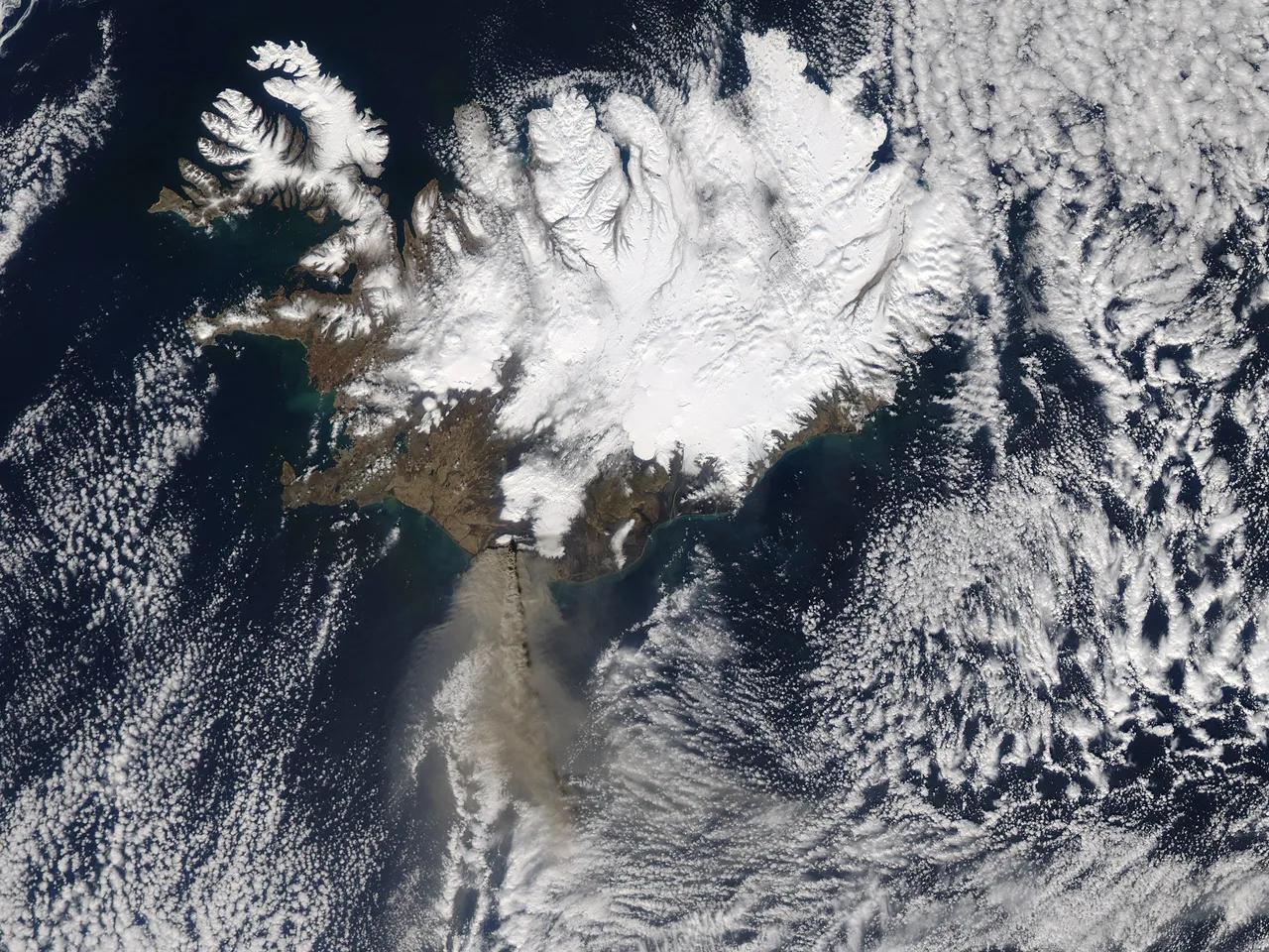
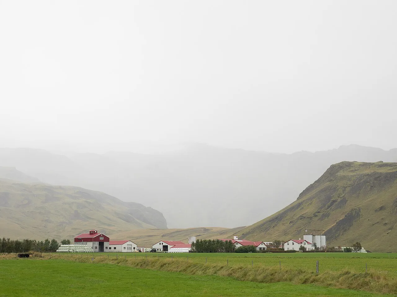
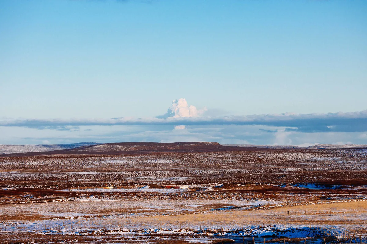
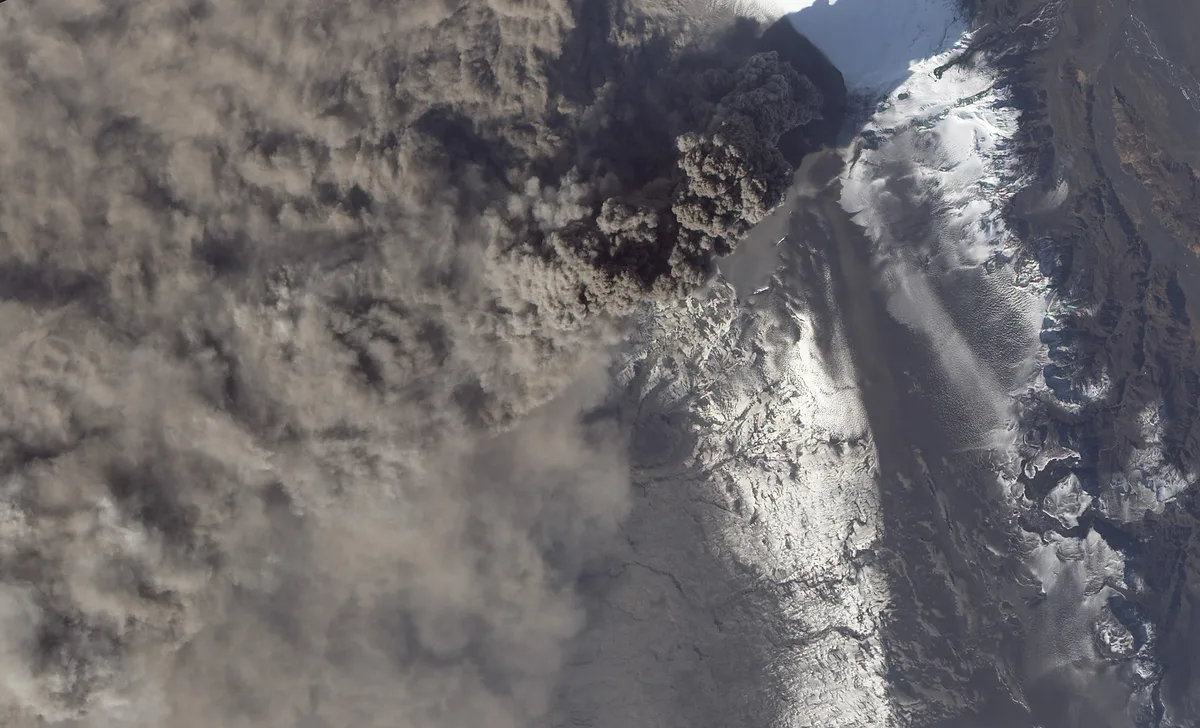
The 2010 eruption came in two distinct phases. The first drew crowds, while the second shut down airports. No one died. The farms at the southern foot, including Þorvaldseyri, took the worst of the ash. For the full story, read our 2010 eruption account.
- March 20, 2010: a fissure opens on Fimmvörðuháls, the pass between Eyjafjallajökull and Mýrdalsjökull. Lava fountains build two new craters, Magni and Móði, with little ash.
- April 14: activity moves to the summit crater beneath the ice. Magma meets meltwater and the eruption turns explosive.
- Mid-April: meltwater bursts down the Gígjökull outlet glacier and floods the Markarfljót plain. Road crews cut Route 1 to save the bridge, and about 800 people leave the farms below the mountain.
- Late May: activity fades. The eruption is declared over later in the year.
Why a modest eruption closed European airspace
Size was not the problem. Magma meeting glacial meltwater shatters into fine, glass-rich ash. That ash rose more than 8 km (5 miles) and drifted on the jet stream toward Europe. Volcanic ash can stall jet engines, so airspace stayed closed for roughly six days to a week. Estimates put cancelled flights above 100,000 and stranded passengers near 10 million. Eurocontrol, the European air traffic body, is the place to check official traffic figures.
Eruption history
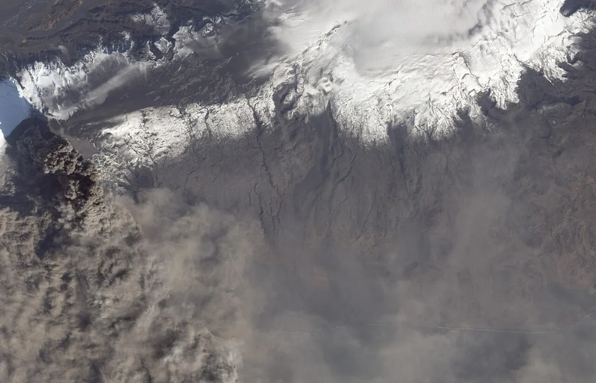
Eyjafjallajökull erupts rarely by Icelandic standards. Catalogued eruptions are listed below, and the early dates are approximate. The 1821–1823 eruption released fluoride that poisoned livestock across the district.
- Around 920
- 1612 or 1613
- 1821 to 1823
- 2010
Eyjafjallajökull and Katla
Katla lies under the Mýrdalsjökull ice cap, about 25 km (16 miles) east. Read more about Katla volcano and the Mýrdalsjökull ice cap in our neighbouring guides. Historical accounts say each Eyjafjallajökull eruption was followed within a few years by Katla activity. That did not happen after 2010. This is a historical pattern, not a forecast. Past activity is covered in our Katla eruption history. The Katla UNESCO Global Geopark covers the surrounding landscape.
Is Eyjafjallajökull active today?
The 2010 eruption remains the most recent one. The Icelandic Met Office monitors Iceland's volcanoes and publishes current status. Our page on whether it is still active explains the monitoring in more detail.
Seeing Eyjafjallajökull: viewpoint and tour trade-offs
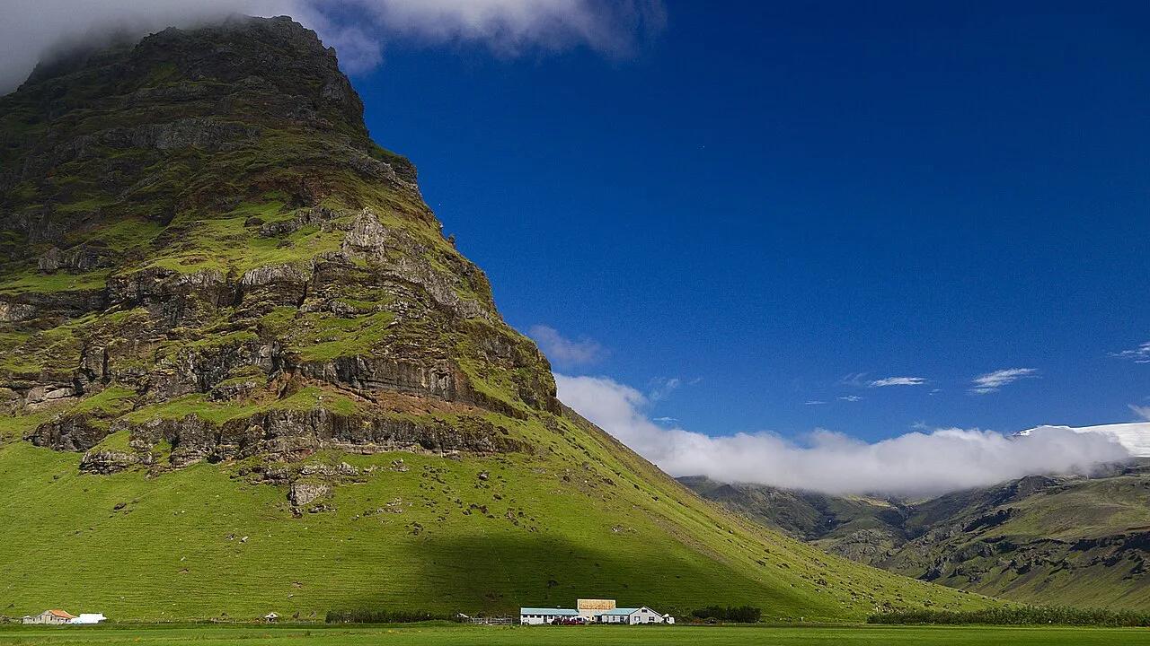
Low cloud can hide the ice cap for days. A morning with a northerly or dry easterly wind gives the sharpest view. Gusts off the glacier can rock a car on the Markarfljót bridge, so check the wind before stopping. Use our Eyjafjallajökull map to place each stop. For guided options, see the tours around the volcano. The small exhibition at Þorvaldseyri has closed, but the view from the pull-off is the same.
Fimmvörðuháls crosses the 2010 lava field, so the 25 km (15.5 miles) with about 1,000 m (3,280 ft) of climbing is a full day, not a stroll.
| Option | Cost level | Effort and time (estimates) | Season | Skip if |
|---|---|---|---|---|
| Route 1 and Þorvaldseyri pull-off | Free | 5–10 minutes | Year-round, weather permitting | You have no clear-weather window |
| Seljavellir valley road | Free | Short drive, then a 15-minute walk to the pool | Best June–September | You only want a roadside photo |
| Skógafoss parking lot | Free | 5–10 minutes | Year-round | You want a close view of the ice |
| Gígjökull via F249 into Þórsmörk | Free, but needs a suitable vehicle | Half to full day | Summer | You lack river-crossing experience |
| Þórsmörk super jeep tour | Paid, mid-range | About a day (a Reykjavík tour runs 9 hours) | Summer | You are short on time |
| Fimmvörðuháls hike | Free, gear and transfers extra | 25 km (15.5 miles) with about 1,000 m (3,280 ft) of climbing, full day | Usually free of snow from late June | You are not a fit hiker |
| Helicopter tour | Highest | About 3.5 hours from Reykjavík Airport | Clear weather only | Budget is tight |
| Guided summit climb | Paid, high | Full day with ropes and crevasse gear | Usually spring | You have no glacier experience |
- Before any F-road trip, look up road conditions and opening dates on road.is.
- Glacier travel needs a certified guide. Safetravel Iceland publishes current hiking and glacier safety advice.
Combine it with nearby stops
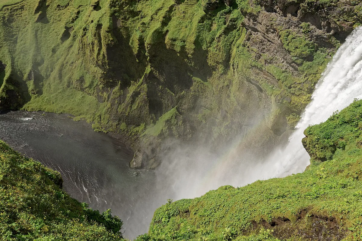
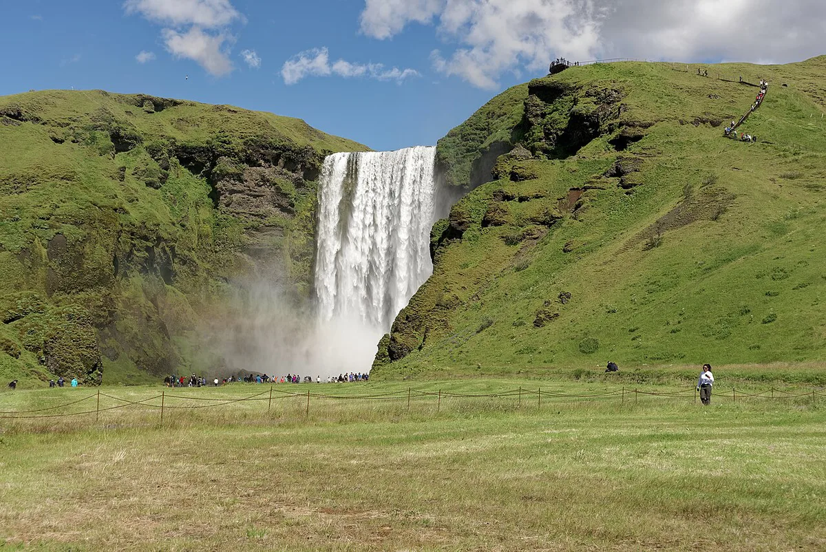
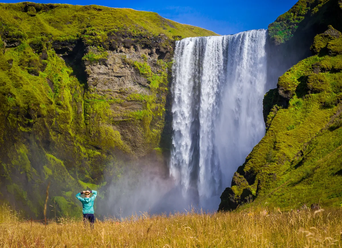
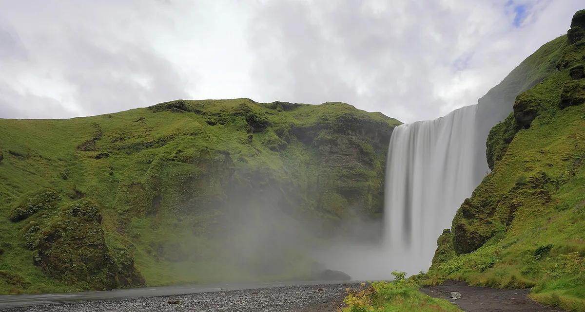
Seljalandsfoss and Gljúfrabúi sit at the western foot, and Skógafoss sits at the eastern foot. Seljavallalaug, a 25 m pool built in 1923, is a 15-minute walk from the end of the Seljavellir road. All of these are within about 20 minutes of each other. In Hvolsvöllur, the Lava Centre exhibition explains Iceland's volcanic systems and suits a wet day. Budget 1–2 hours there. On foot, the Fimmvörðuháls trail crosses the 2010 lava field. Nearby, Sólheimajökull glacier is another close-up ice stop. Back at the overview, our main Eyjafjallajökull guide ties these stops together.
- Do not expect a visitor gate or ticket.
- Do not expect to see the summit in cloud.
- Do not confuse the Gígjökull outlet glacier with the summit.
- Do not assume the Þorvaldseyri exhibition is open.
Frequently Asked Questions
What effect did Eyjafjallajökull have on Iceland?
The 2010 eruption evacuated about 800 people from farms below the mountain. Ash fell hardest on the southern farms, and meltwater flooded the Markarfljót plain. No one died.