
Fimmvörðuháls Hike: Route, Safety & Getting Back (Skógar to Þórsmörk)
Last updated November 2026. Fimmvörðuháls (fimmvorduhals in plain search spelling) is a trail of about 22 km that links Skógar with Þórsmörk, running between the Eyjafjallajökull and Mýrdalsjökull glaciers. It crosses lava from the 2010 eruption and is a long, exposed, weather-dependent day hike, or a two-day trip with a hut overnight. Strong, well-equipped hikers who can turn back in bad weather will enjoy it; anyone short on fitness, daylight or navigation skills should pick a shorter walk.
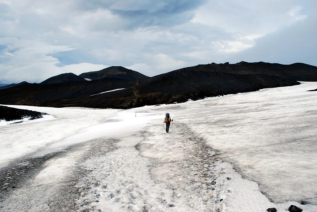
Featured image: Chmee2/Valtameri, CC BY 3.0, via Wikimedia Commons.
Fimmvörðuháls at a glance
Start with the numbers, because they decide whether this is your kind of day. The route is one-way, so transport planning matters as much as fitness. Prices and hours referenced on this page were checked in November 2026, and conditions change from year to year.
- Distance: about 22 km (about 15 miles) from Skógar to Þórsmörk.
- Climb: about 1,000 m (roughly 3,300 ft) of ascent, as operators report.
- Time: 8–10 hours is the common estimate, and slower groups report up to 12 hours.
- Direction: Skógar to Þórsmörk, ending in the Þórsmörk valley.
- Season: late June to early September is the usual window, but snow and weather vary by year.
- Difficulty: demanding, with a steep descent and a narrow ridge near the end.
Is this hike right for you? Go/no-go checklist
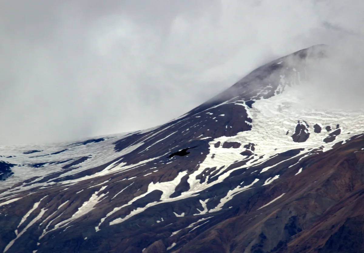
Treat the pass as a mountain route, not a stroll between waterfalls. Fog and snow can hide the markers on the high plateau, and Iceland's weather can change within an hour. Check the Icelandic Met Office forecast the day before and again on the morning you start. Register your plan with Safetravel Iceland so that someone knows where you are.
- Go only if the forecast shows low wind, no heavy rain and visibility that lets you see the next marker.
- Turn back at the first sign of thick fog on the high section, since the trail is easy to lose.
- Expect snow patches even in summer, and ask hut or tour staff about current snow depth.
- Count your daylight honestly, because 8–12 hours is a long day if you start late.
- Skip the route if you fear heights, since the Kattahryggur ridge is narrow and exposed.
- Check river and road conditions for the Þórsmörk access road before you commit to a ride home.
- Mistake to avoid: starting at midday because the morning looked grey. A late start turns a hard day into a risky one.
The route, section by section
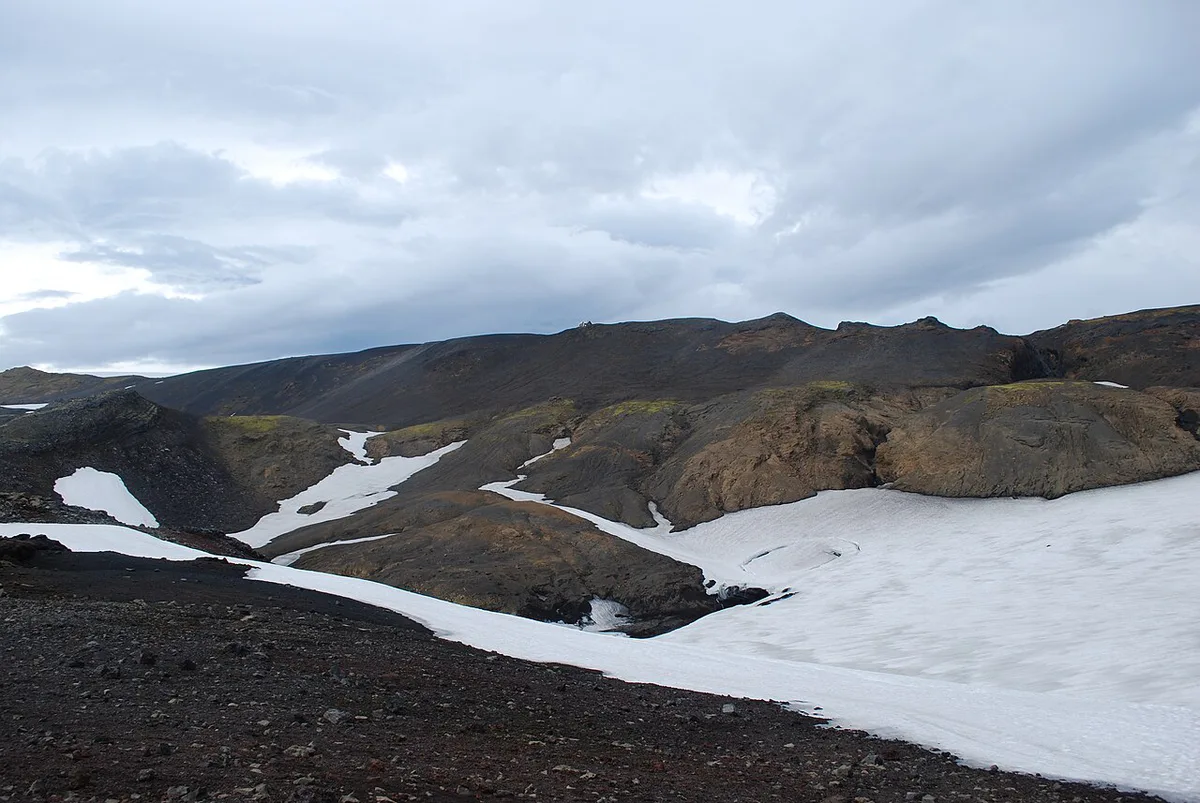
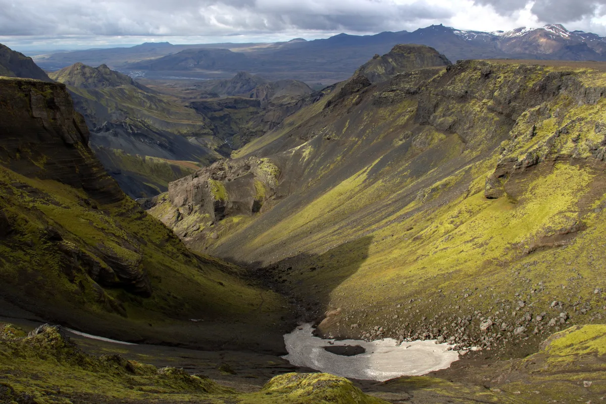
Hikers start at Skógafoss and finish in Þórsmörk. Each stage changes in terrain, and the risks change with it. Time each stage against the clock so you know early whether you are on pace.
| Section | Terrain | Main risk |
|---|---|---|
| Skógafoss and the river valley | Path beside a long run of waterfalls, with a steady climb | Pace too fast early; later fatigue |
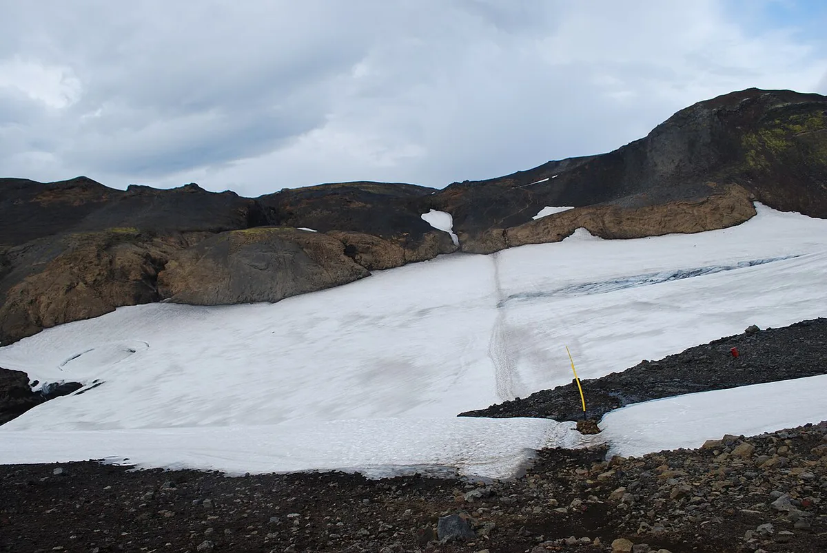
| High plateau toward Baldvinsskáli hut | Rocky, open ground with snow patches | Fog, wind, lost markers |
| Magni and Móði craters, Goðahraun lava field | Black lava from the 2010 flank eruption | Rough footing, hot-ground curiosity, poor visibility |
| Kattahryggur ridge | Narrow ridge with drops on both sides | Exposure, wind, a fall |
| Descent into Þórsmörk | Steep path, then valley floor | Tired knees, loose ground, late light |
The volcano story under your boots
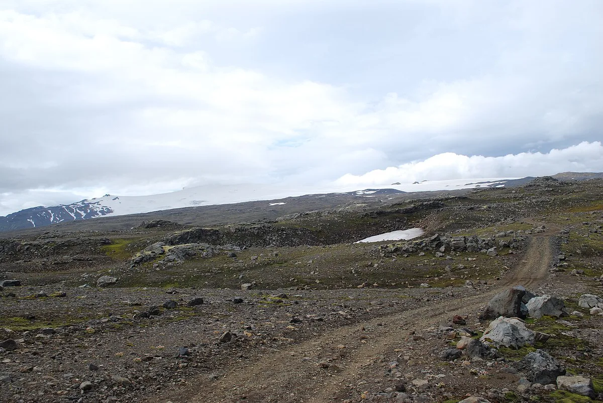
The 2010 flank eruption opened on the pass and built the Magni and Móði craters, which you walk past on the lava field. Read our account of the 2010 eruption before you go. The eruption belongs to Eyjafjallajökull, and Mýrdalsjökull lies on the other side of the pass. Beneath that ice sits Katla, another volcano that scientists monitor. For current activity, see our guide on whether Eyjafjallajökull is active. The Katla UNESCO Global Geopark covers the geology of the area.
Day hike, hut overnight, or guided: how to choose
Your choice comes down to effort, cost and how much risk you will carry yourself. Operator listings show a guided day tour from 60,000 ISK for about 14 hours, and a private day hike from 72,490 ISK for about 10 hours. Treat those as starting points, since listings change. For tour options, see Eyjafjallajökull tours. A six-day route joining Laugavegur with Fimmvörðuháls is listed at 108,756 ISK self-guided with tents, or 349,990 ISK in huts.
Pricing a guided day tour from 60,000 ISK for about 14 hours shows the trade-off: it runs longer than the 8–10 hours a self-guided hike usually takes.
| Option | Effort | Cost level | Flexibility | Best for |
|---|---|---|---|---|
| DIY day hike | Highest, 8–12 hours on foot | Budget, plus transport | High, but you carry all decisions | Experienced, well-equipped hikers |
| Hut overnight at Baldvinsskáli | Split into two shorter days | Mid, with hut booking | Medium, tied to hut availability | Hikers who want a slower pace |
| Guided day tour | High, but a guide handles navigation | Premium | Low, fixed departure and pace | First-timers wanting local judgment |
| Laugavegur combination | Multi-day trek | Premium | Low, booked in advance | Trekkers with huts or tents planned |
Getting there and getting back
The trail is one-way, so you must plan the return before you set out. If you leave a car at Skógar, you need a ride back from Þórsmörk. A highland bus transfer from Þórsmörk is the usual answer, and it runs seasonally. Reaching Þórsmörk means using roads with river crossings, so ask the operator about conditions. Bus fares, timetables, parking fees and hut booking details change, so check each operator's own page before you set out. Reykjavík to Skógar is a drive along the South Coast, so allow time before a morning start. For orientation, use our Eyjafjallajökull map.
Remember that 8–12 hours is a long day if you start late, and a return ride from Þórsmörk must still fit within your daylight.
What to pack and how to navigate
Pack for wind, rain and cold even in July. Bring a map or GPS track with a charged phone and a power bank. Markers can be hard to see in fog, so do not rely on them alone.
- Waterproof jacket and trousers, plus a warm mid-layer, hat and gloves.
- Sturdy boots with ankle support for lava and steep descent.
- Offline map or GPS track, and a printed backup.
- Food and water for a full day, plus a headlamp.
- Trekking poles for the descent and snow patches.
- Safetravel registration for your plan.
Best time to go
The usual window runs from late June to early September, when the high section is most likely to be clear of snow. Early in the season, expect snow patches and softer ground. Late in the season, daylight shortens, and storms become more frequent. Conditions vary by year, so check the forecast and ask local operators about snow before choosing a date. If the weather rules out the pass, the Sólheimajökull glacier area offers a shorter outing. Staying indoors is also an option, since the Lava Centre works as a rainy-day alternative. For a longer highland trek afterwards, see Landmannalaugar.





