
Katla Geopark Guide: What to See, How to Visit
Last updated November 2026: Katla Geopark is a UNESCO Global Geopark in south Iceland, named after the Katla volcano beneath the ice. You tour it by car along the Ring Road, because it is a region and not a single gated attraction. Ice-cap geology is covered in our Mýrdalsjökull guide, so this page focuses on planning.
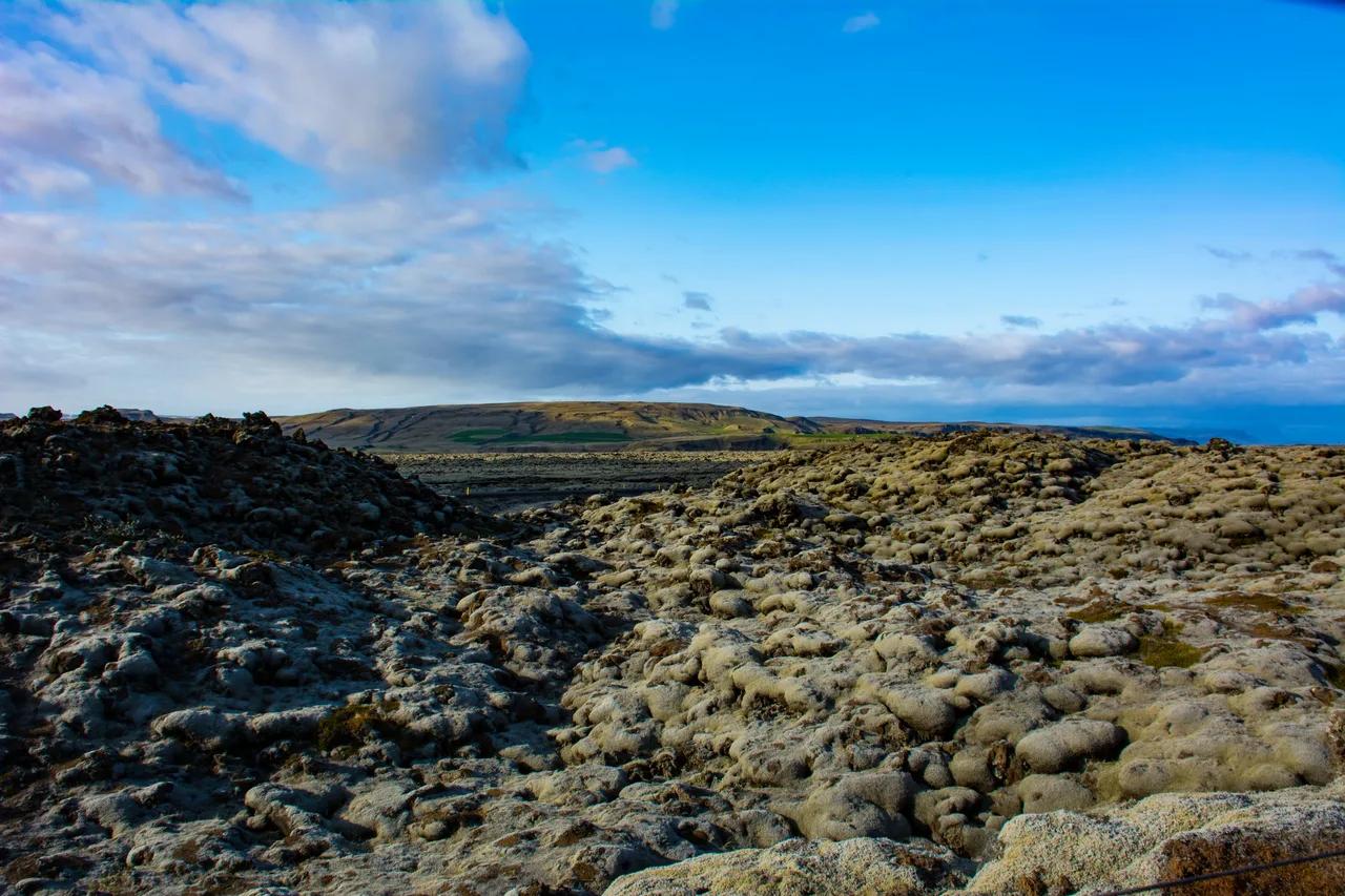
Featured image: shri_ram_r, CC BY 2.0, via Flickr.
What Katla Geopark Actually Is (and Isn't)
Katla Geopark is a designated region around Mýrdalsjökull, Vík, Kirkjubæjarklaustur and Eyjafjallajökull in South Iceland. The official Katla UNESCO Global Geopark site is the place to check exact boundaries and visitor information. A UNESCO Global Geopark is a landscape of international geological importance, managed with local communities in mind. Nobody collects admission at a geopark border.
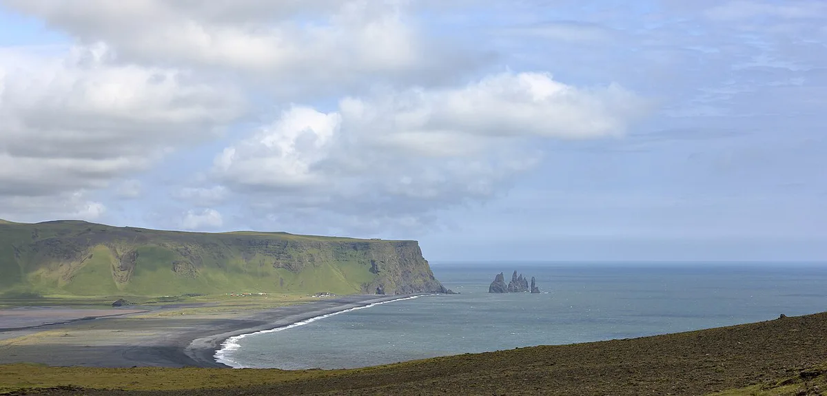
The volcano and the geopark are not the same thing. Katla is a volcanic system under the Mýrdalsjökull ice cap, while the geopark is the wider area built around that system. Most sights you will actually visit are ordinary roadside stops that sit inside the designated region.
The geopark also overlaps with the neighbouring volcano. Our Eyjafjallajökull area guide covers the western side in depth. For the eruption side of the story, read about the Katla eruption history.
Geopark, national park and attraction are three different things:
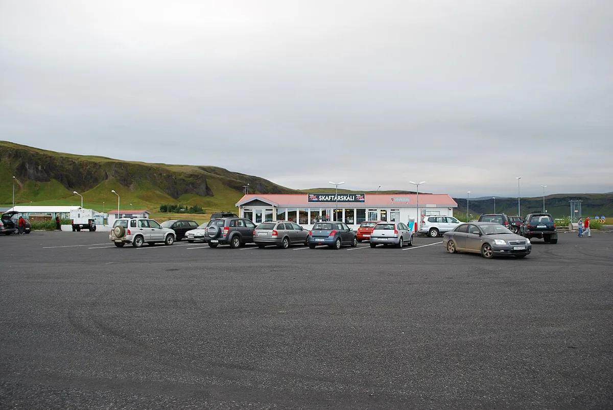
- Geopark: a regional designation that links geology, villages and visitor services. You drive through it.
- National park: a protected area run by a park authority, with its own rules and visitor facilities.
- Attraction: a single site such as a waterfall or beach, often with its own parking and operator.
Main Sights Inside Katla Geopark
Start with the stops that most visitors build a day around. Sight lists change as the geopark updates its materials, so match this table against the official geopark site before you commit to a route. Skógafoss lies in the Eyjafjallajökull part of the region, as the official map shows.
| Sight | What it is | Best for | Access caveat | Skip if |
|---|---|---|---|---|
| Mýrdalsjökull and Kötlujökull | Ice cap above Katla and one of its outlet glaciers | Understanding the volcano-glacier link | Glacier access is guided and seasonal | You want a short roadside stop only |
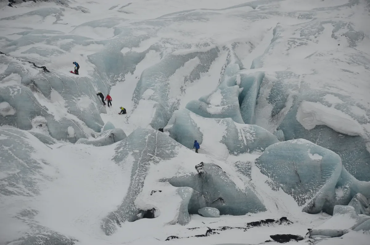
| Sólheimajökull | Outlet glacier near the Ring Road | Glacier viewing and guided walks | Stay behind marked areas; operators set seasonal terms | You have no time for a detour |
| Vík | Village base with services | Overnight stay, meals, fuel | Accommodation fills up in peak season | You are driving straight through |
| Reynisfjara | Black sand beach with basalt columns | Coastal geology photography | Dangerous waves; follow safety signs | You are travelling with small children who run ahead |
| Dyrhólaey | Coastal headland with views along the shore | Viewpoints and coastline | Access can depend on season and nesting rules | Winds or low cloud are forecast |
| Skógafoss | Waterfall beneath the Eyjafjallajökull area | Quick stop with a short walk | Spray makes surfaces slippery | You are short on daylight |
Choosing Your Route: One Day vs. Two Days
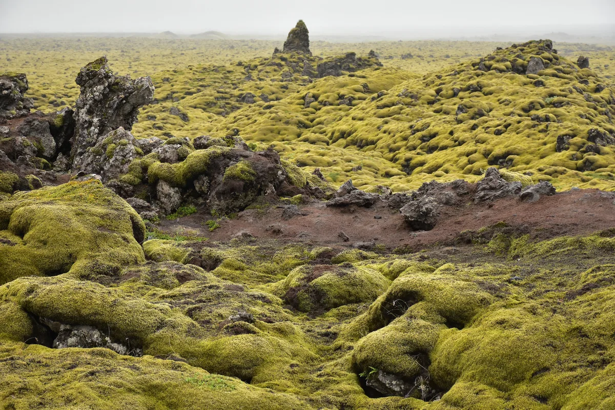
Route planning comes down to driving time against stop time. Winter daylight is short, and glacier activities pull against coastal stops. The official Visit South Iceland pages list drive times from Reykjavík, which helps when setting an itinerary.
Decision rule: if you only have one day, prioritise one glacier or ice-cap viewpoint and one coastal stop. If you have two, add an overnight in Vík and spread the sights.
| Option | Pros | Trade-offs | Best for |
|---|---|---|---|
| One day from Reykjavík | Fits a Ring Road day trip; no hotel needed | Long driving share; rushed stops; limited winter daylight | Visitors with a tight schedule |
| Two days with a Vík overnight | More time per stop; flexible around weather | Needs accommodation booked ahead | First-time visitors and photographers |
- Rushing: five stops in a day leaves little time at any of them.
- Ignoring weather: wind and rain change which stops are worth visiting.
- Skipping safety notes: beach waves and glacier edges are the main hazards.
Glacier and Ice Cave Options: Safety and Booking
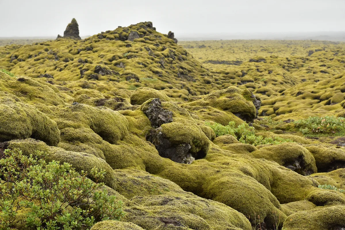
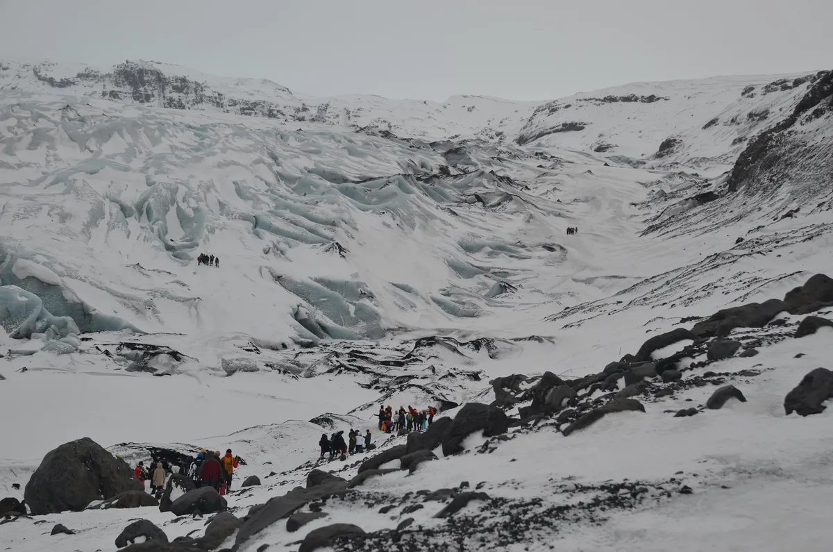
Glacier and ice-cave access must be guided and seasonal. Independent walking on glacier ice is not a safe plan for visitors without training and equipment. Sólheimajökull is the outlet glacier most often used for guided walks near the Ring Road.
Ice caves form and change with the seasons, so operators set their own calendars. Confirm dates, group or private options, fitness requirements and age limits directly with the operator. Booking early is sensible for peak months.
If a guided trip fits your plans, our Eyjafjallajökull tours guide compares formats. Weather can cancel trips, so keep a spare day or an indoor alternative.
Volcano Hazard Context Without the Alarm
Katla is monitored, and visitors do not need to plan around constant alerts. For current volcano status, check the Icelandic Met Office instead of relying on a travel page. Past eruptions are summarised in the Eyjafjallajökull 2010 eruption story, which also shows how aviation can be affected.
Eyjafjallajökull 2010 eruption story covers the neighbouring volcano, not Katla, so don't read its aviation disruption as a Katla warning.
Practical hazards are more immediate. Waves at Reynisfjara can reach far up the beach, glacier edges can be unstable, and road conditions change with the weather. Safetravel Iceland publishes alerts and advice for travellers, and its warnings apply to every stop on this route.
Costs, Access and Getting Around
No gate means no single geopark ticket. Costs come from separate operators and facilities, so budget by category.
Prices and hours vary by operator and season, so check each provider's current rates before you go.
- Guided glacier walks and ice-cave tours: usually your largest cost, set by each operator.
- Parking: some sites charge, others do not.
- Fuel or EV charging: plan along the Ring Road.
- Accommodation: Vík and nearby villages are the practical bases.
- Meals: Vík has the most services on this stretch.
Katla Geopark vs. Neighbouring Stops
Katla Geopark suits first-time Ring Road visitors who want varied scenery in one drive. For a deeper volcano focus, Hekla is a separate and very different target. Highland hikers may prefer Landmannalaugar, which is a different trip entirely.
Walkers who want a multi-day route can look at Fimmvörðuháls. In bad weather, the Lava Centre offers an indoor introduction to volcanoes.
Frequently Asked Questions
Is Katla Ice Cave worth it?
It depends on season, weather and the operator's terms. Ice caves are guided and change from year to year. Pick a trip with flexible rescheduling and ask the operator about current conditions.
What does it mean to be a UNESCO Global Geopark?
A UNESCO Global Geopark is a landscape of international geological importance. It is managed with a focus on education, conservation and local communities. The designation is not a gated site or a national park.
What type of volcano is Katla, Iceland?
Katla is a volcanic system beneath the Mýrdalsjökull ice cap in South Iceland. Eruptions beneath ice can melt it and cause floods. Current status is published by the Icelandic Met Office.




