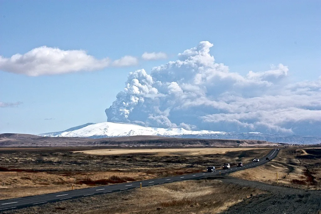
Eyjafjallajökull Eruption 2010: Timeline and Ash Cloud
Last updated November 2026: the eyjafjallajokull eruption 2010 unfolded in two phases in South Iceland, a fissure at Fimmvörðuháls followed by a summit eruption beneath the glacier. Its ash cloud disrupted air travel across Europe. This guide gives a dated timeline, explains the airspace closure, and shows where you can learn about the eruption today.
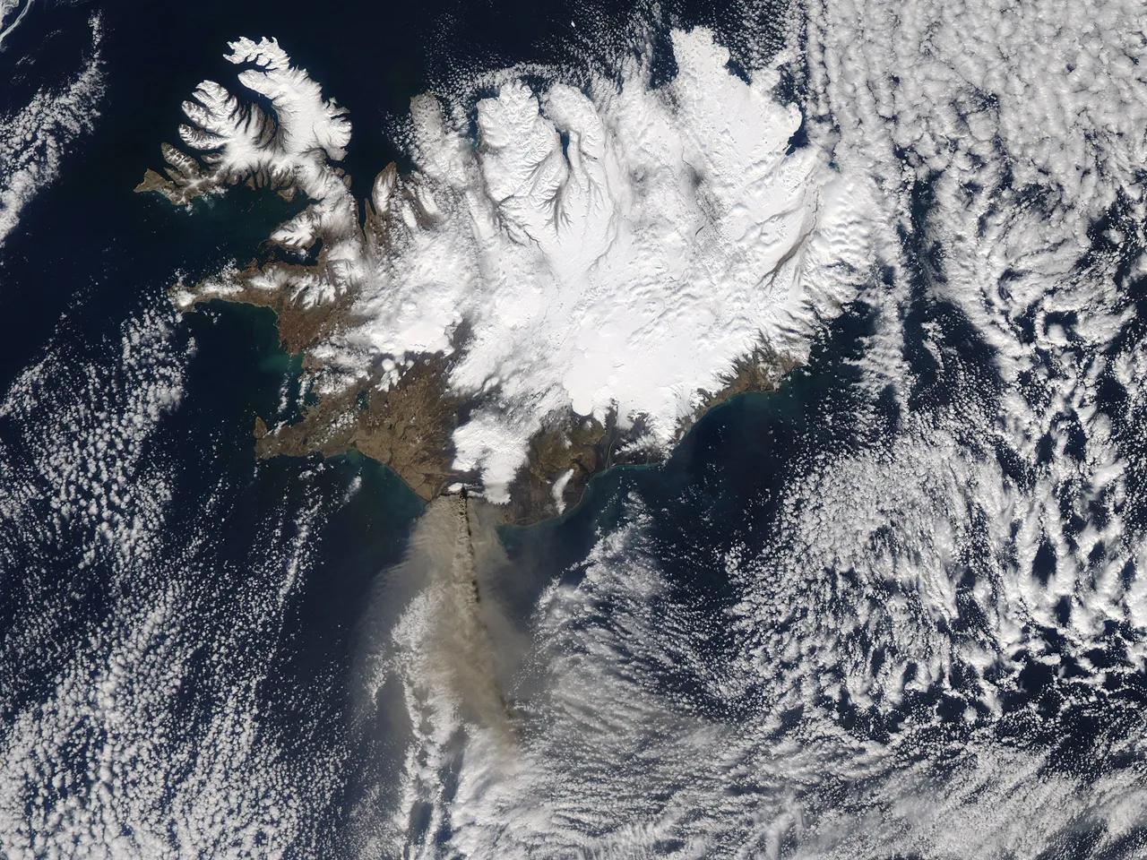
Featured image: NASA Goddard Photo and Video, CC BY 2.0, via Flickr.
Eyjafjallajokull Eruption 2010: The Short Answer
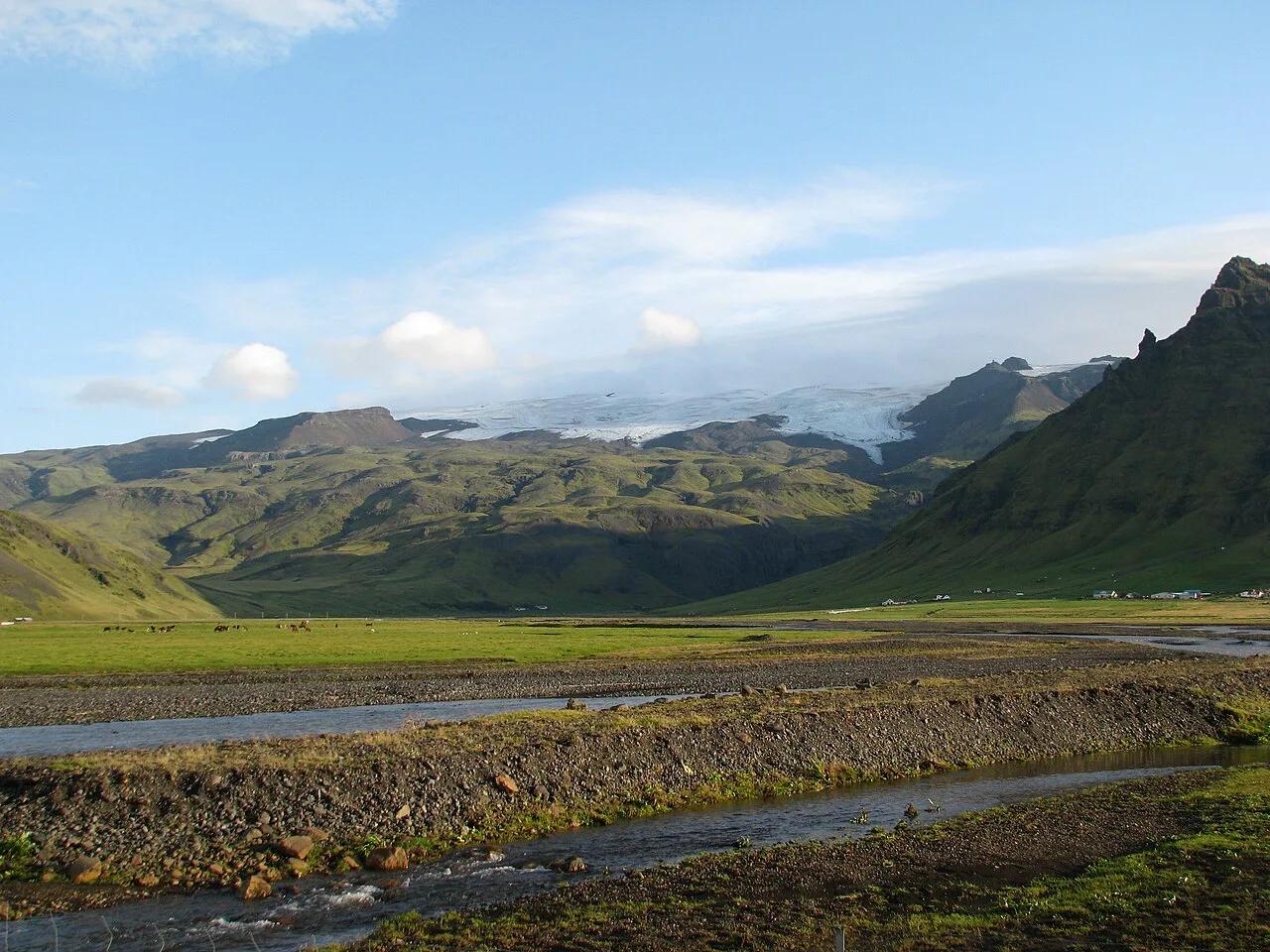
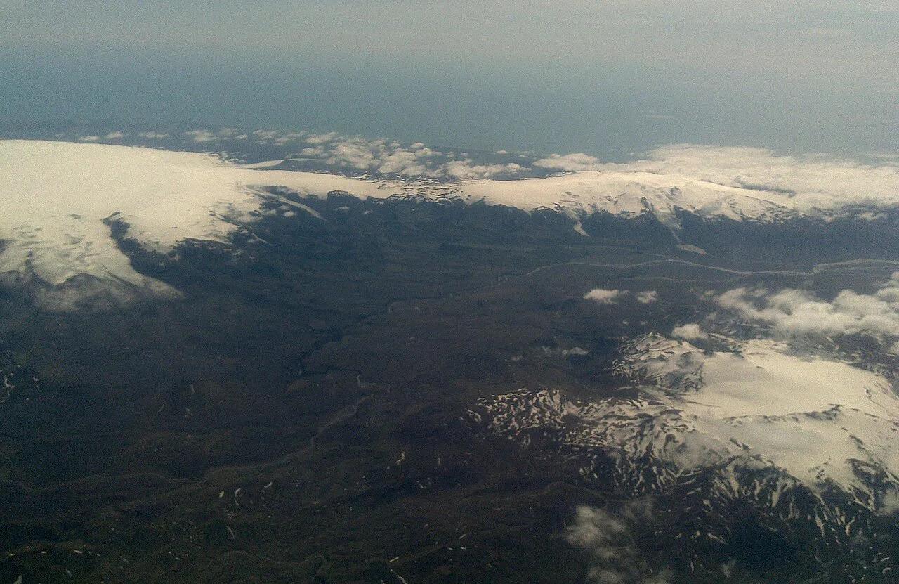
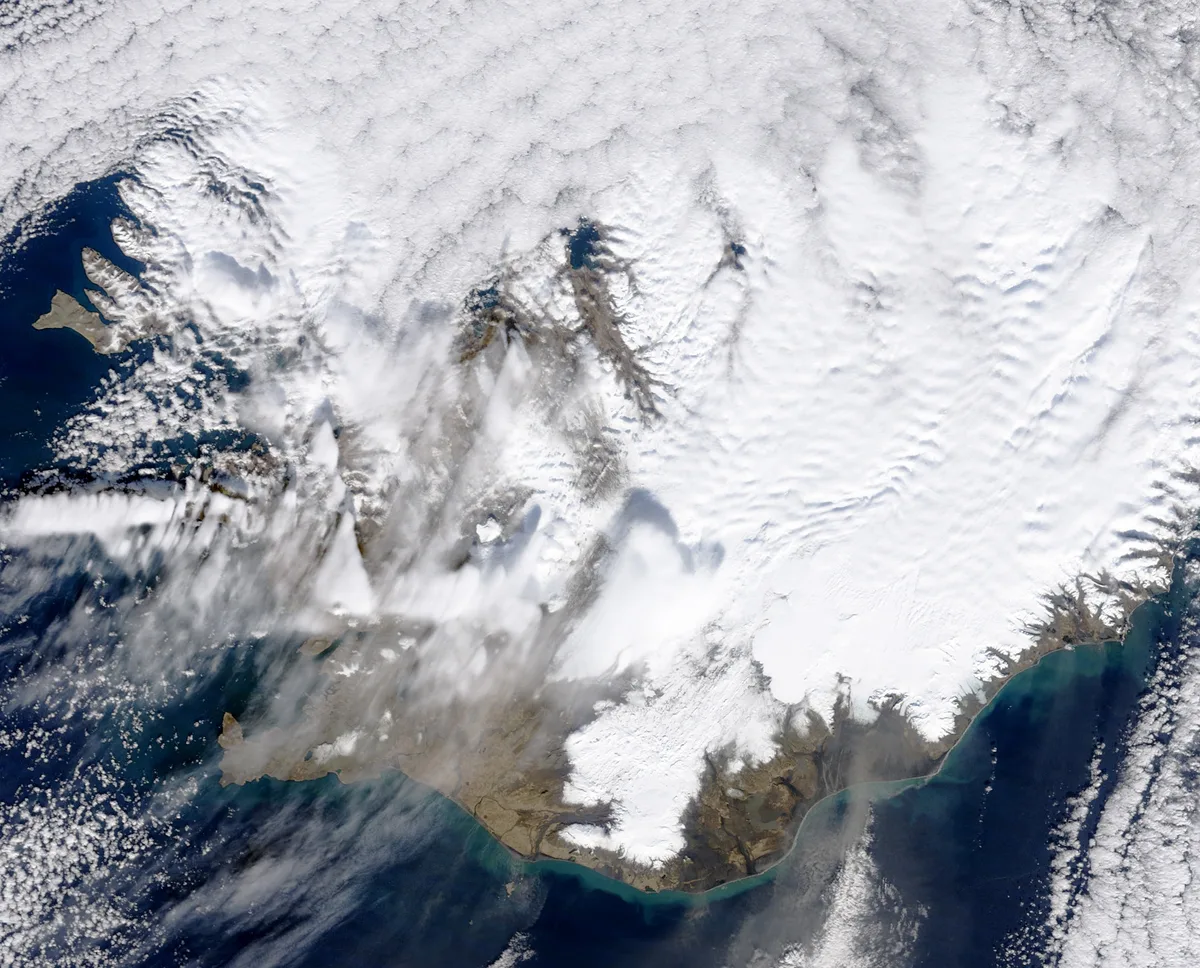
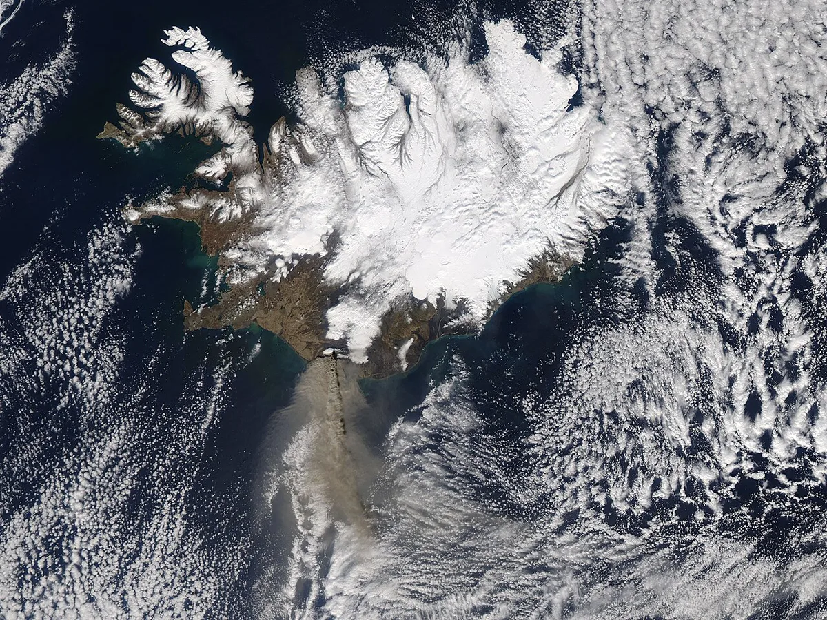
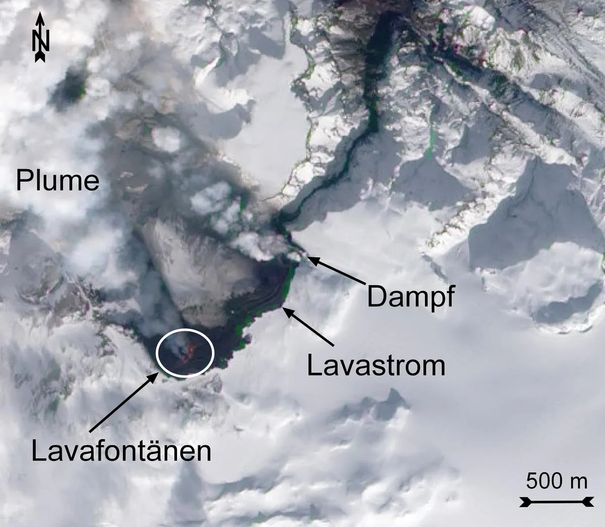
Eyjafjallajökull erupted twice in quick succession in 2010. A fissure about 500 m (2,000 ft) long opened at Fimmvörðuháls on 20 March, west of the ice-covered summit. NASA Earth Observatory describes it as the first eruption there in about 190 years. From 14 April, a second eruption began beneath the ice cap at the summit. That explosive phase produced the ash that closed European airspace. For the volcano's wider setting, start with our Eyjafjallajökull overview.
Timeline: From the Fimmvörðuháls Fissure to the Summit Eruption
Phase one was an effusive fissure eruption on a pass that hikers can reach. Phase two was an explosive eruption under the ice. Our Fimmvörðuháls trail guide covers the route to the first site. End dates differ between sources. A museum post marks 23 May 2010 as the day the eruption officially ended. Wikidata records a later end date of 27 October 2010. Treat 23 May as the end of the main eruptive activity and 27 October as a later formal closing date. The Icelandic Met Office holds the official chronology.
| Date | Event | Source |
|---|---|---|
| 20 March 2010 | A fissure about 500 m long opens at Fimmvörðuháls, west of the summit | NASA Earth Observatory |
| 21 March 2010 | Police in Selfoss report evacuations from adjacent farms | Contemporary news report |
| 14 April 2010 | Summit eruption begins beneath the ice cap | Icelandic Met Office |
| 23 May 2010 | Eruption described as officially ended | Perlan museum |
| 27 October 2010 | Later end date recorded for the eruption series | Wikidata |
Why the Ash Closed European Airspace
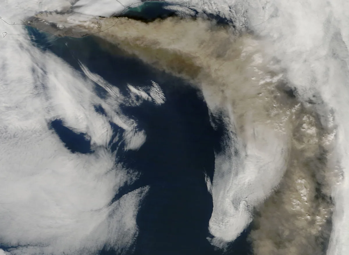
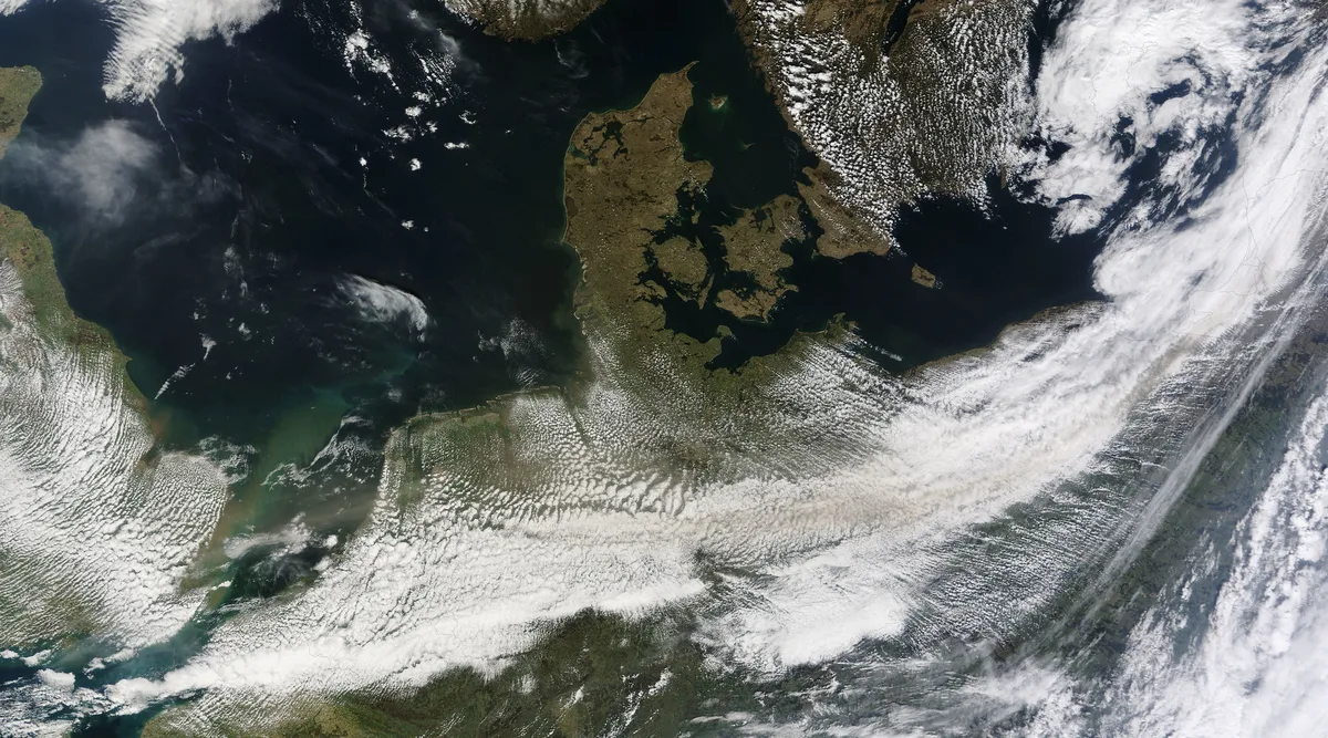
The summit eruption started under the ice cap on 14 April 2010. Glacier meltwater chilled the rising magma fast. That shattered it into very fine ash, which the plume lifted high into the atmosphere. Winds then carried the cloud over Europe. Jet engines run hot enough to melt glassy ash particles. Molten ash can then clog engine parts. Aviation authorities therefore closed airspace instead of testing that risk. Flight and passenger totals vary by source, so use Eurocontrol for exact aviation figures. For the science of the volcano itself, read what type of volcano Eyjafjallajökull is. Our Eyjafjallajökull facts page lists the key numbers.
Local Impact in South Iceland
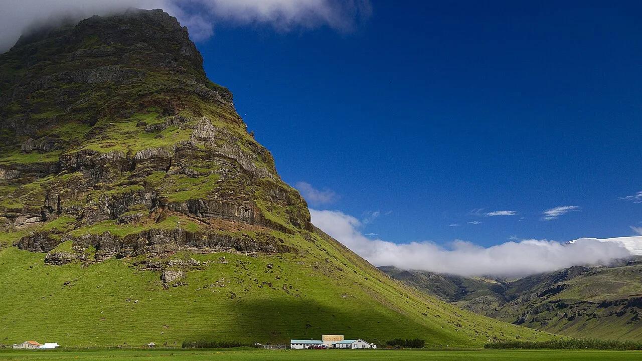
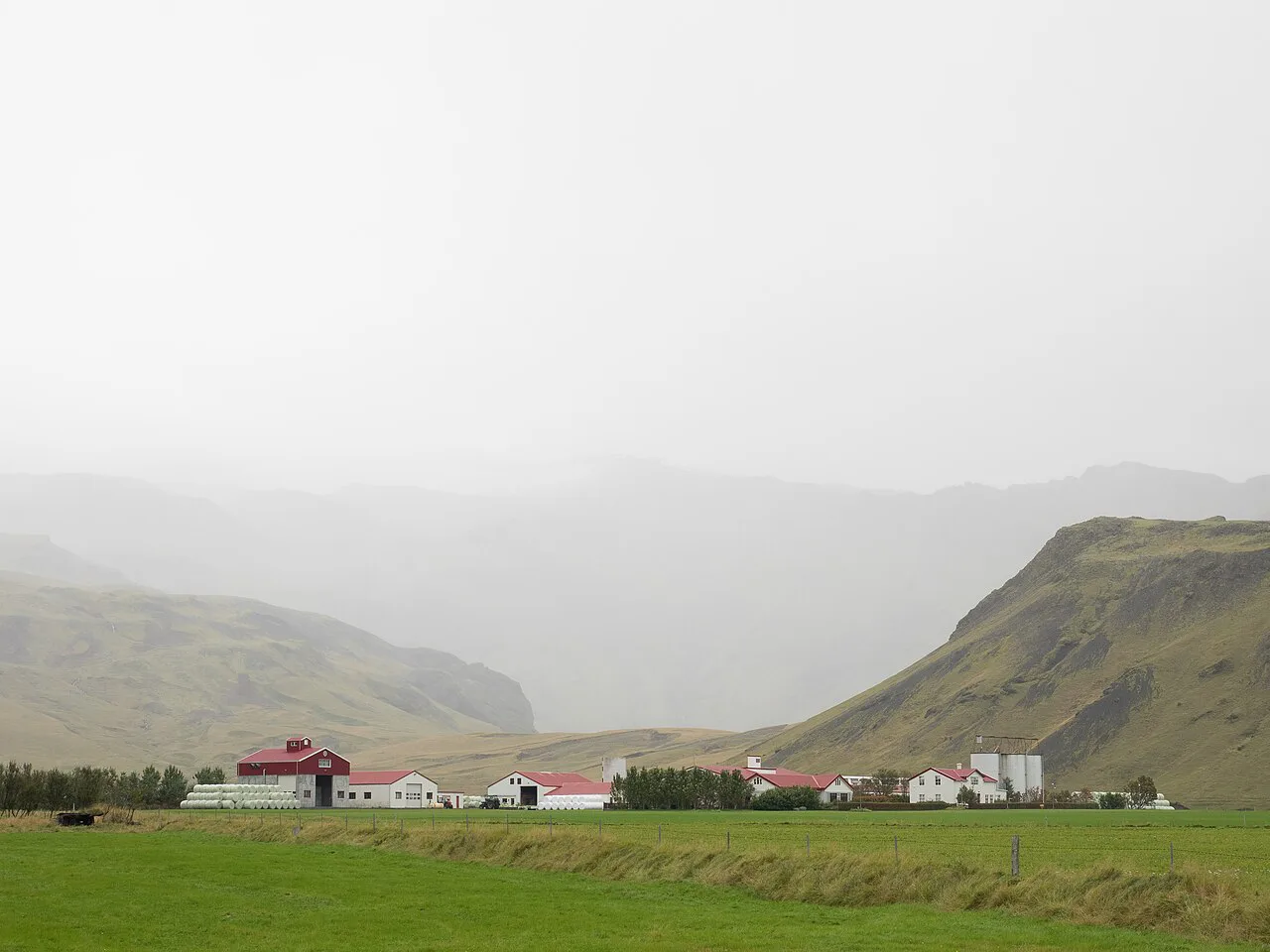
On 21 March 2010, police in Selfoss reported that evacuations from nearby farms had begun. The Icelandic Met Office had received reports of a glow in the glacier but recorded no major earthquake activity at that point. Fimmvörðuháls sits on the ridge between Eyjafjallajökull and Mýrdalsjökull. Farms below the volcano sit in the Rangárþing eystra municipality. Evacuee numbers and farm losses differ between sources, so this page quotes none. Many readers confuse this volcano with its neighbour. Katla is a separate volcano with its own history.
Farm evacuations near Selfoss were reported on 21 March 2010, the day after the fissure opened on 20 March.
Where to See and Learn About It Today
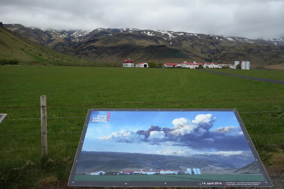
No lava or ash is visible now. You learn the 2010 story through landscape and exhibits. Fit hikers can walk to the Fimmvörðuháls area where the 20 March fissure opened. Families and rainy days suit the Eyjafjallajökull visitor centre. Broader context comes from the Lava Centre. Visitors without a 4x4 or glacier experience can book guided Eyjafjallajökull tours. Use our Eyjafjallajökull map to plan the drive. Opening hours and ticket prices change, so check each venue's own site for current prices.
For the Fimmvörðuháls side, aim for Route 249 rather than Route 1, which reaches the museums and viewpoints.
| Option | Best for | Trade-offs | Skip if |
|---|---|---|---|
| Fimmvörðuháls hike | Fit hikers who want the 2010 fissure area | Season, weather, route length, hut and transport logistics, glacier-pass conditions | You lack mountain experience or the weather is poor |
| Eyjafjallajökull visitor centre | Families, a rainy day, a short stop | Hours, ticket price and film content come from the venue | You want a hands-on landscape experience |
| Lava Centre | Understanding Icelandic volcanism broadly | Distance from your Ring Road stops, cost, time needed | You want Eyjafjallajökull-specific detail only |
| Guided tours | Visitors without a 4x4 or glacier experience | Operator, season, price, group size | You prefer to set your own pace |
| Sólheimajökull glacier walk | A nearby glacier walk | Guided only, with safety limits | You want to see the 2010 eruption sites |
Is It Safe Now? What Visitors Should Know
Current status belongs on live sources, not on a history page. Our guide on whether Eyjafjallajökull is active explains how to read the signals. The Icelandic Met Office publishes the official volcano status. For hiking conditions, road closures and weather warnings, check Safetravel Iceland before you set out. Glacier areas need a guide and proper equipment. Avoid these common mistakes:
- Assuming the volcano is erupting now. The 2010 activity is over, and current status comes from the Icelandic Met Office.
- Mixing up Eyjafjallajökull with Katla. They are separate volcanoes.
- Expecting visible lava or ash. Today you see landscape, glacier and exhibits.
- Attempting Fimmvörðuháls out of season or without checking conditions on Safetravel Iceland.
Road Access and Seasonal Constraints
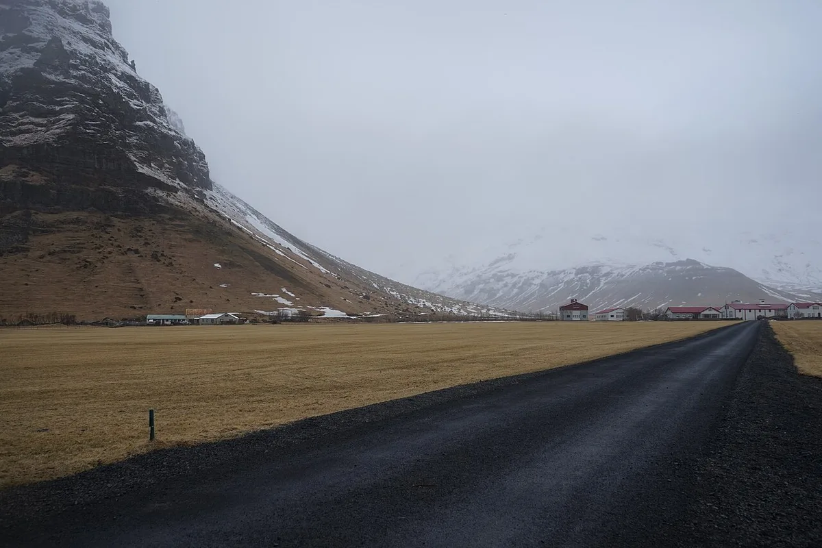
Most visitors approach the Eyjafjallajökull area on Route 1, Iceland’s Ring Road. The road gives access to South Iceland’s museums, viewpoints and guided-tour meeting points. It does not take you directly to the 2010 fissure area at Fimmvörðuháls.
Route 249 is the relevant approach road for the Þórsmörk and Fimmvörðuháls side of the landscape. Conditions farther inland can include gravel, rough stretches and river crossings. A standard rental car may not be suitable beyond the sealed sections, so confirm your vehicle restrictions before leaving Route 1.
Winter adds another constraint. Mountain routes and trail access can close or become unsafe in poor weather, even when Route 1 remains open. Check Icelandic Road and Coastal Administration updates, Safetravel Iceland and the forecast on the day of travel. Visitors without highland-driving experience should use a guided tour or choose an exhibit-based stop instead.
Frequently Asked Questions
What is the name of the major volcano that erupted in 2010?
Eyjafjallajökull in South Iceland. It erupted first at Fimmvörðuháls on 20 March 2010 and then beneath its ice cap from 14 April.
Why can't planes fly through ash?
Volcanic ash is made of fine, glassy particles. Jet engines run hot enough to melt them, and the molten ash can clog engine parts. That risk led authorities to close European airspace in April 2010.