Eyjafjallajökull Map: Where It Is and What You Can Reach
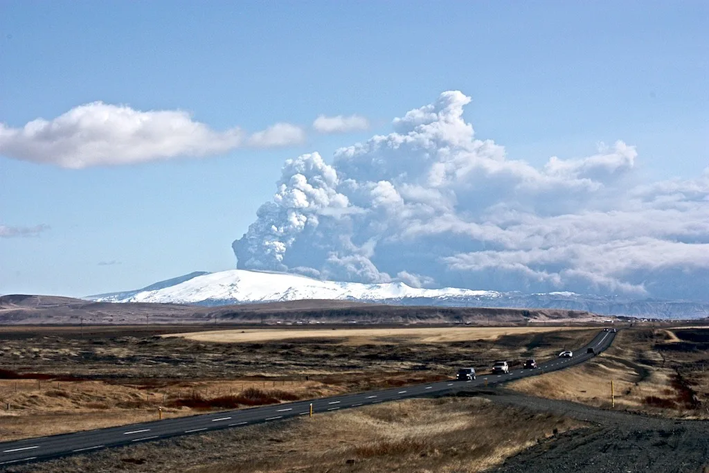
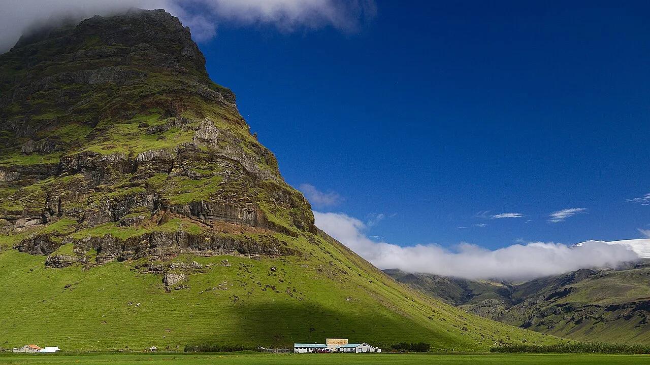
Last updated November 2026. On any Eyjafjallajokull map, the volcano is a small ice cap in South Iceland, in the Rangárþing eystra municipality, north of Skógar and west of Mýrdalsjökull. It is not a roadside sight, so most visitors see its flanks from Route 1 and the nearby waterfalls. This guide places the landmarks around it and shows which map suits driving, hiking or a quick look. For the volcano itself, start at our Eyjafjallajökull overview.
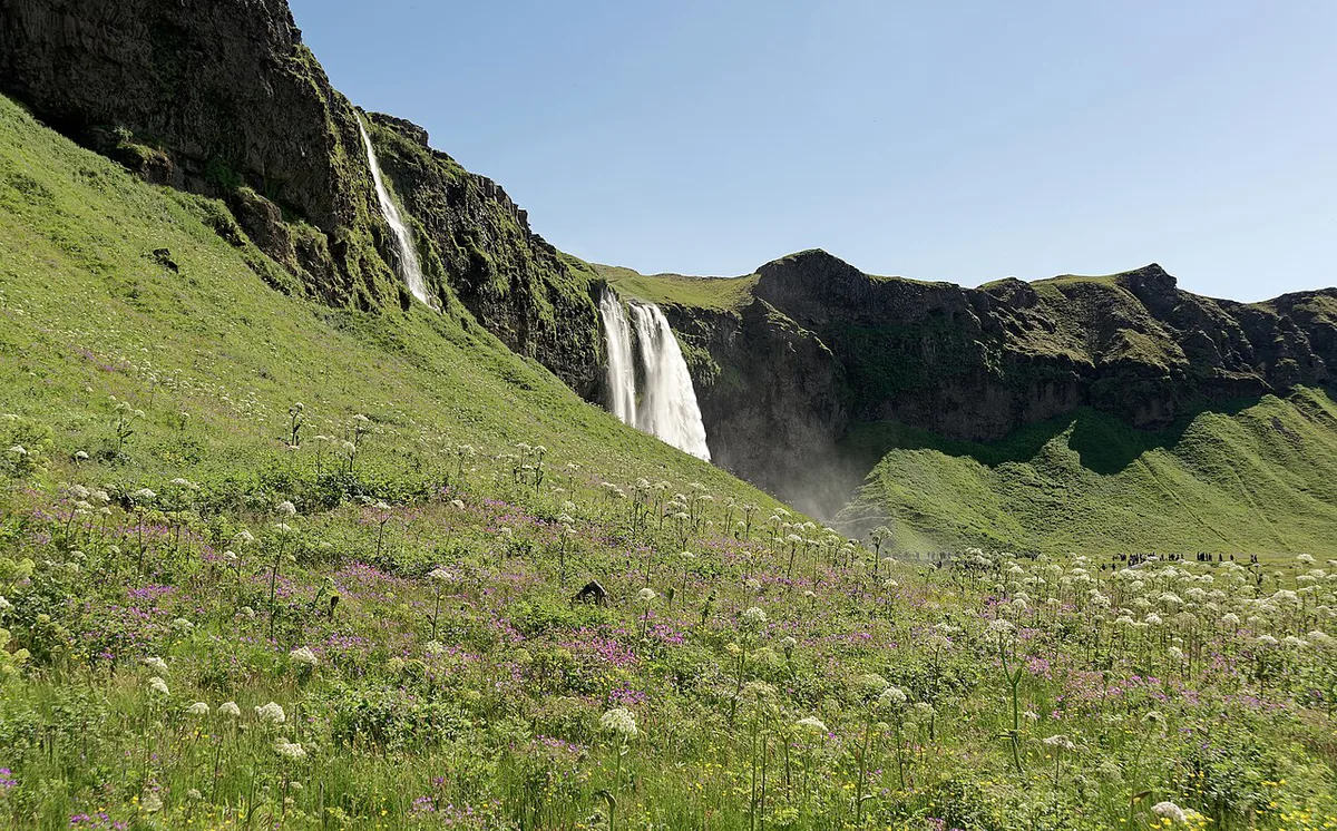
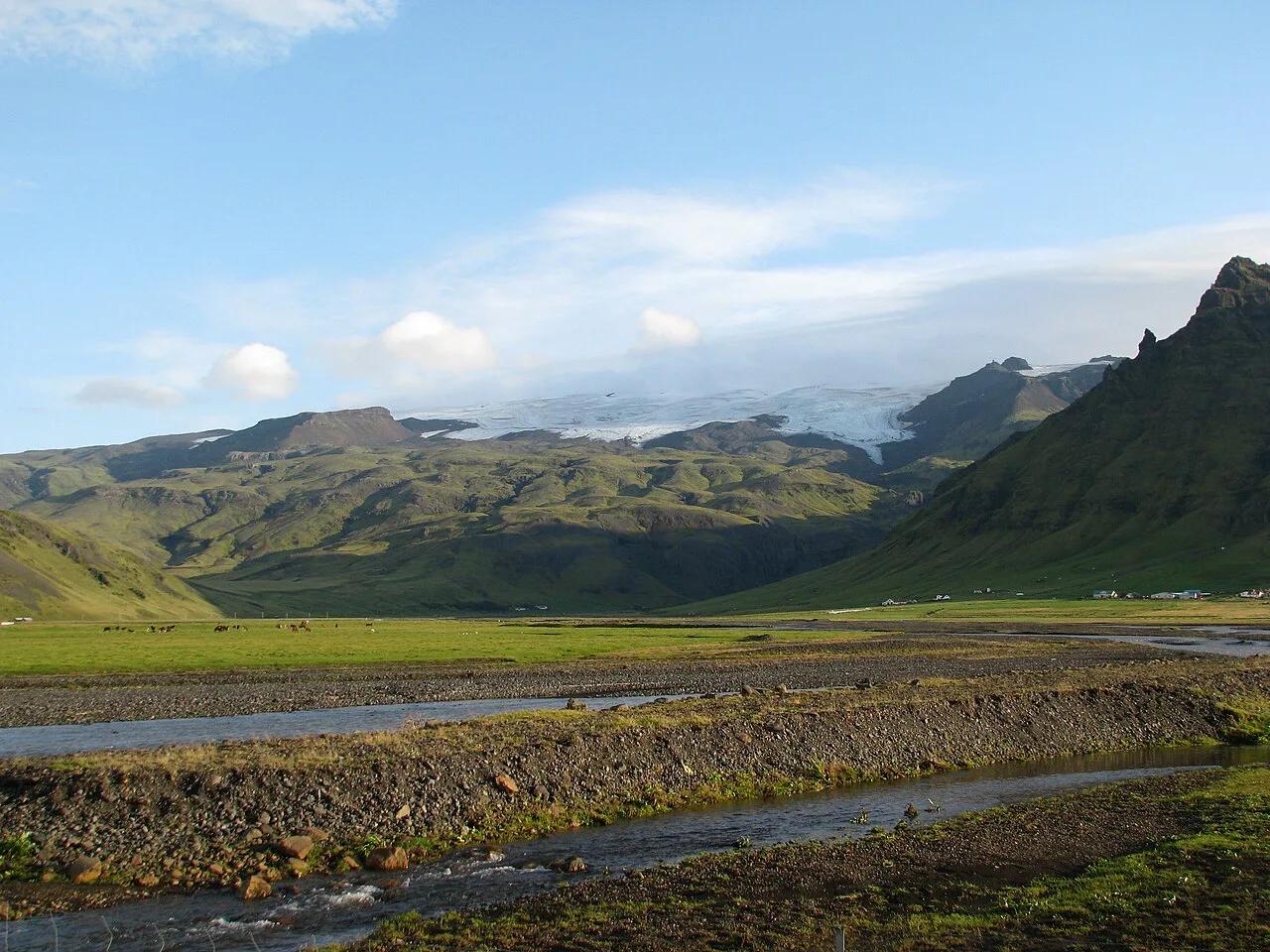
Featured image: Rob Oo from NL, CC BY 2.0, via Wikimedia Commons.
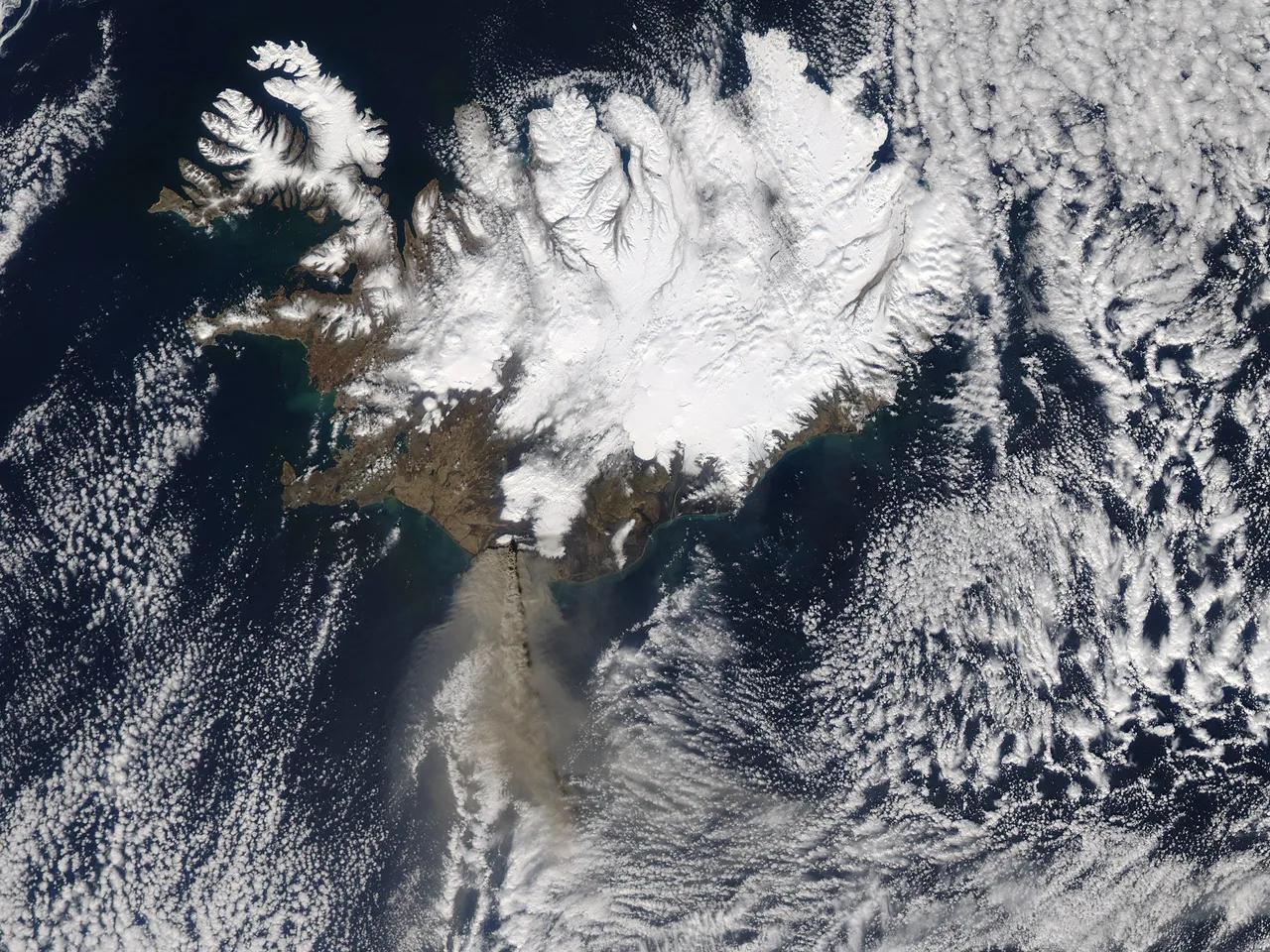
Where Eyjafjallajökull Is on the Map
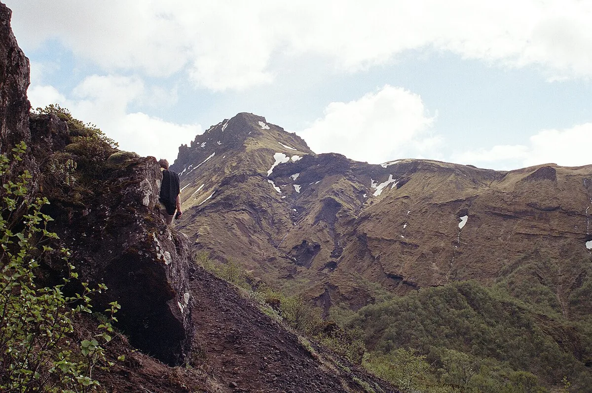
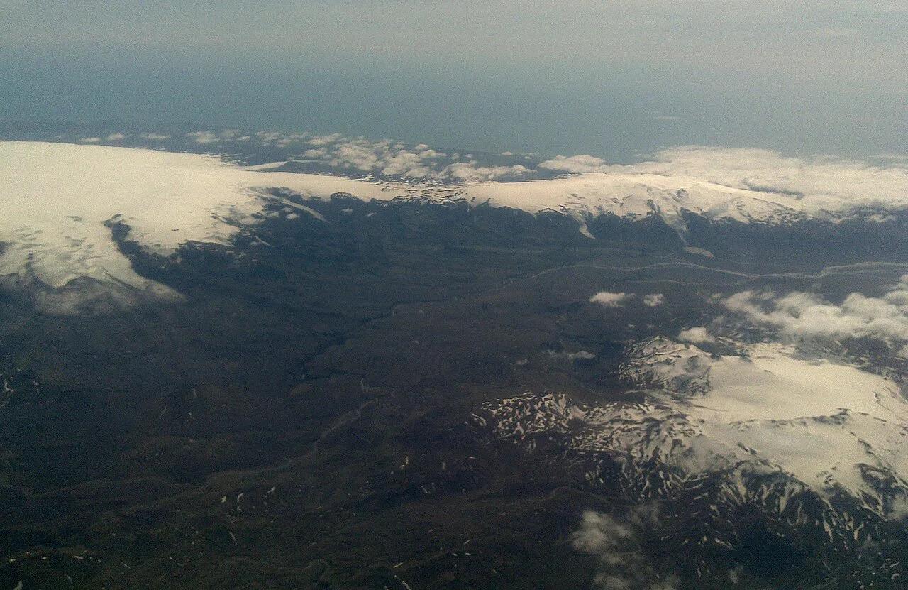
Find Skógar on the South Coast first. Eyjafjallajökull lies north of it, and Mýrdalsjökull lies to the east of the ice cap. The ice cap covers the caldera of the volcano. Its summit is commonly given as 1,651 m (5,417 ft). Another map dataset lists a maximum height of 1,628 m, so treat any single elevation as approximate. Our Eyjafjallajökull facts page covers the name and size details. The name translates roughly as "glacier of the mountains of the islands."
Key Landmarks Around the Glacier
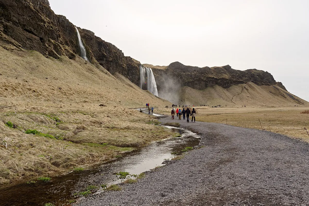
Think of the area as a west-to-east sequence along the South Coast. The table lists each landmark, how it relates to the ice cap and how visitors usually reach it. Only the Skógar and Mýrdalsjökull positions are stated as directions here. Check a map for the rest.
| Landmark | Relation to the glacier | Typical access |
|---|---|---|
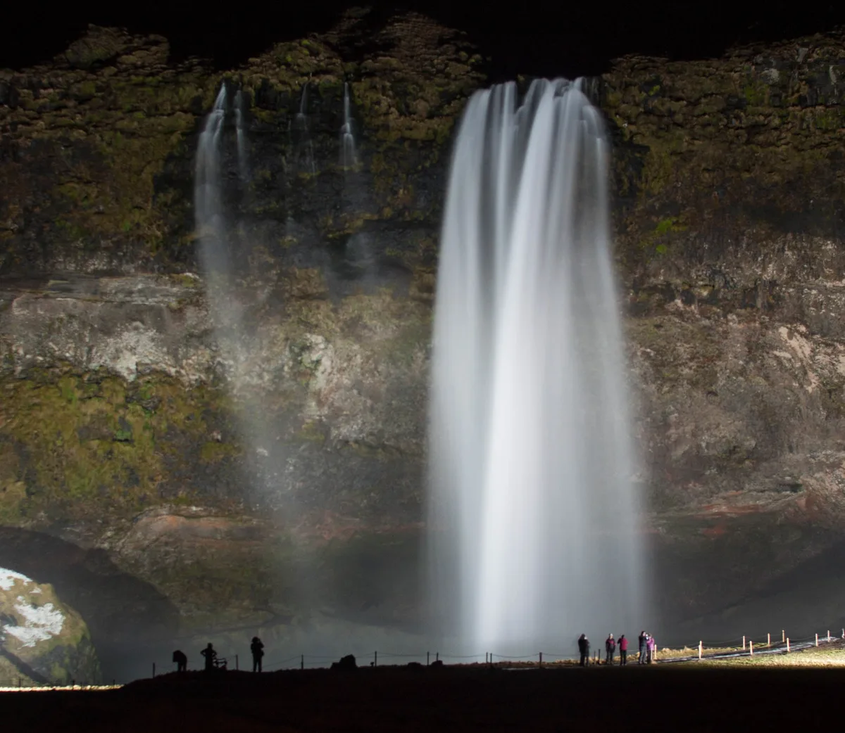
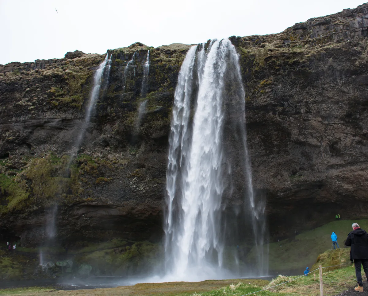
| Seljalandsfoss | Waterfall in the same municipality, below the ice cap's slopes | Roadside stop off Route 1 |
| Skógar and Skógafoss | Village and waterfall south of the ice cap | Roadside stop off Route 1 |
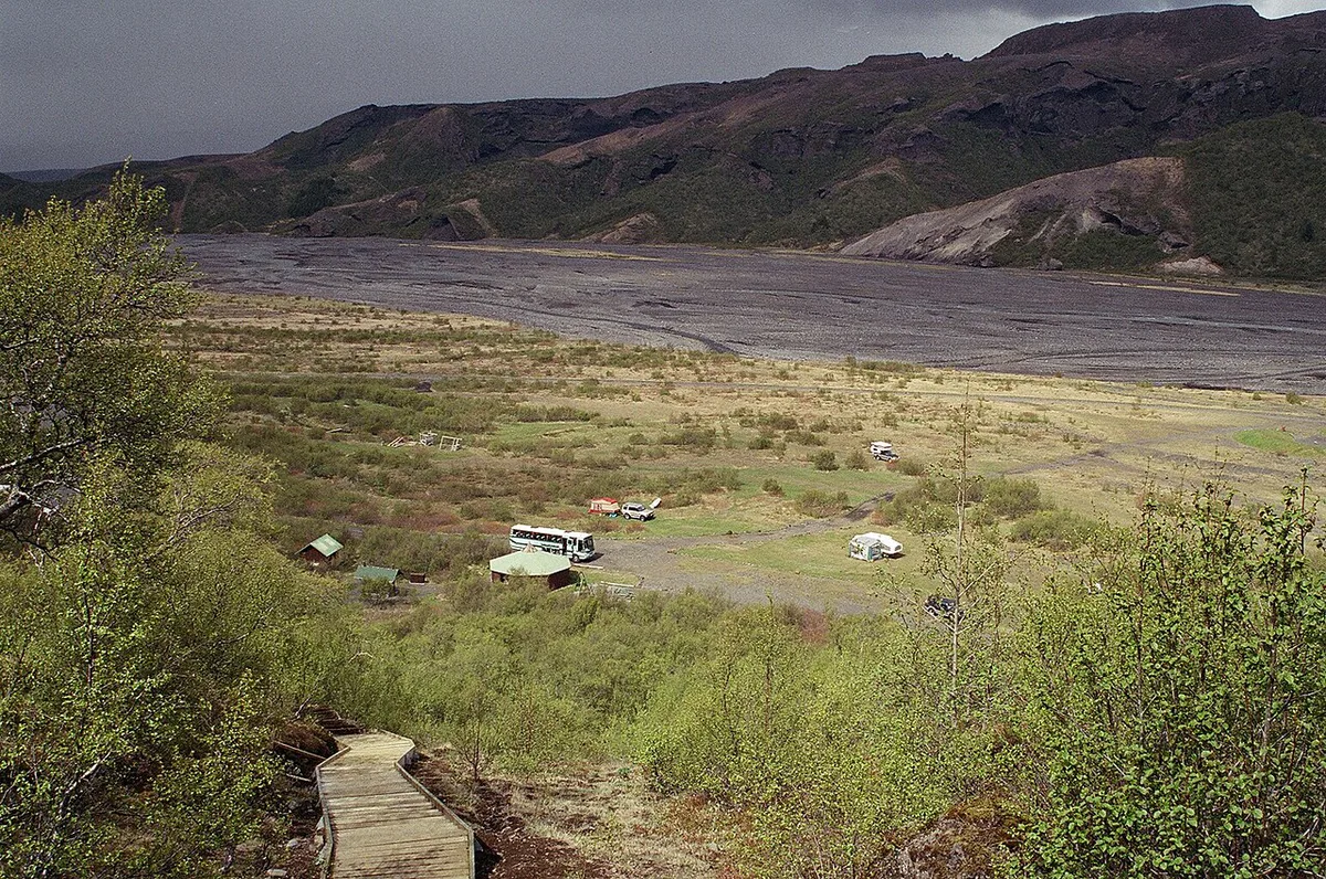
| Þórsmörk | Highland valley in Rangárþing eystra, inland from the coast | Guided trip, 4x4 or hike; check road conditions |
| Fimmvörðuháls | Hiking pass linking the Skógar area with the highlands | Hike; check current trail conditions |
| Sólheimajökull | Outlet glacier on the Mýrdalsjökull side | Guided glacier walk or viewpoint |
| Mýrdalsjökull | Larger ice cap east of Eyjafjallajökull | Seen from the corridor; access needs planning |
Which Map to Use
Pick the map by the job you need it for. A general web map shows the road network and where Skógar sits. A topographic map shows slopes, ridgelines and the elevation difference between the coast and the 1,651 m summit. For conditions on the ground, use official sources. Road status is on the Icelandic road administration site. Hazard guidance is on Safetravel Iceland.
| Map type | Best for | Limits |
|---|---|---|
| General web map | Driving from Reykjavík, finding Skógar and Seljalandsfoss | Weak on highland roads and glacier edges |
| Topographic or elevation map | Reading terrain, comparing the 1,651 m and 1,628 m figures | Not a live road or hazard guide |
| Official road and safety sources | Road, weather and alert status | Show conditions, not terrain detail |
| Hiking map from a trail club | Fimmvörðuháls and Þórsmörk routes | Needs a current conditions check before you go |
How to Reach the Area from Reykjavík
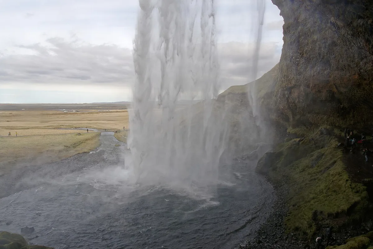
Most visitors self-drive east on Route 1 and treat Seljalandsfoss and Skógafoss as roadside stops. Check current drive times on a live map before you set out. Guided trips make sense if you want the interior or glacier access without a 4x4. Our Eyjafjallajökull tour options compare the guided choices. Staying near Skógar cuts the driving, while a day trip maximizes how much of the coast you see.
What You Can See vs. What Needs a Guide or Hike
The ice cap is visible from the Route 1 corridor and from the waterfalls on clear days. Anything beyond that takes planning.
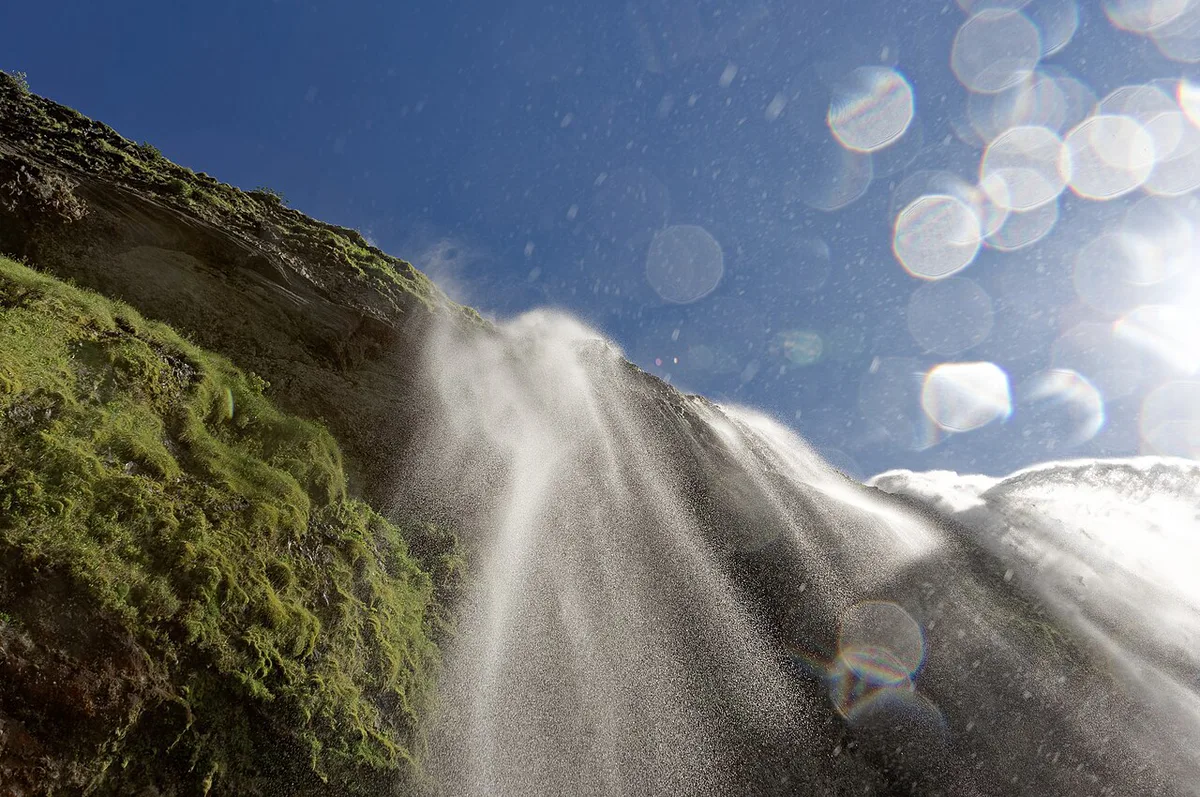
- Seen from the road: the ice cap's flanks, Seljalandsfoss and Skógafoss.
- Needs a guide: walking on a glacier, such as at Sólheimajökull.
- Needs a hike or 4x4: Þórsmörk and the Fimmvörðuháls route.
- Who should skip: drivers without highland experience, and anyone planning to walk glacier edges alone.
Eyjafjallajökull vs. Katla, Mýrdalsjökull and Hekla on the Map
Many map searchers mix up the neighbours. Eyjafjallajökull is the smaller ice cap west of Mýrdalsjökull. The Katla volcano is a separate system, and our Katla guide explains it. The Katla UNESCO Global Geopark page covers the wider area. Hekla is a different volcano elsewhere in southern Iceland, and our Hekla page places it. For status questions, see whether Eyjafjallajökull is active.
The 2010 Eruption in Geographic Context
The 2010 eruption was small by volcanic standards. It still disrupted air travel across western and northern Europe for about a week. Our 2010 eruption page tells the full story. For live volcano and glacier information, use the Icelandic Met Office.
Map and Safety Checklist
A few habits prevent most navigation mistakes in this area.
Use the 1,651 m summit as a terrain reference, not a road guide, and check road.is before any highland drive.
- Download offline maps before leaving Reykjavík, because coverage gaps exist in remote areas.
- Do not trust a map pin for highland roads. Check road status on road.is first.
- Read weather and safety alerts on safetravel.is on the day you travel.
- Treat glacier edges as hazards, not walking routes.
- Keep Landmannalaugar separate in your planning, since it lies in a different highland region.
Frequently Asked Questions
Where did Eyjafjallajökull erupt?
Eyjafjallajökull erupted at its ice-capped summit caldera in South Iceland. The ice cap sits north of Skógar and west of Mýrdalsjökull. The most recent eruption was in 2010.