
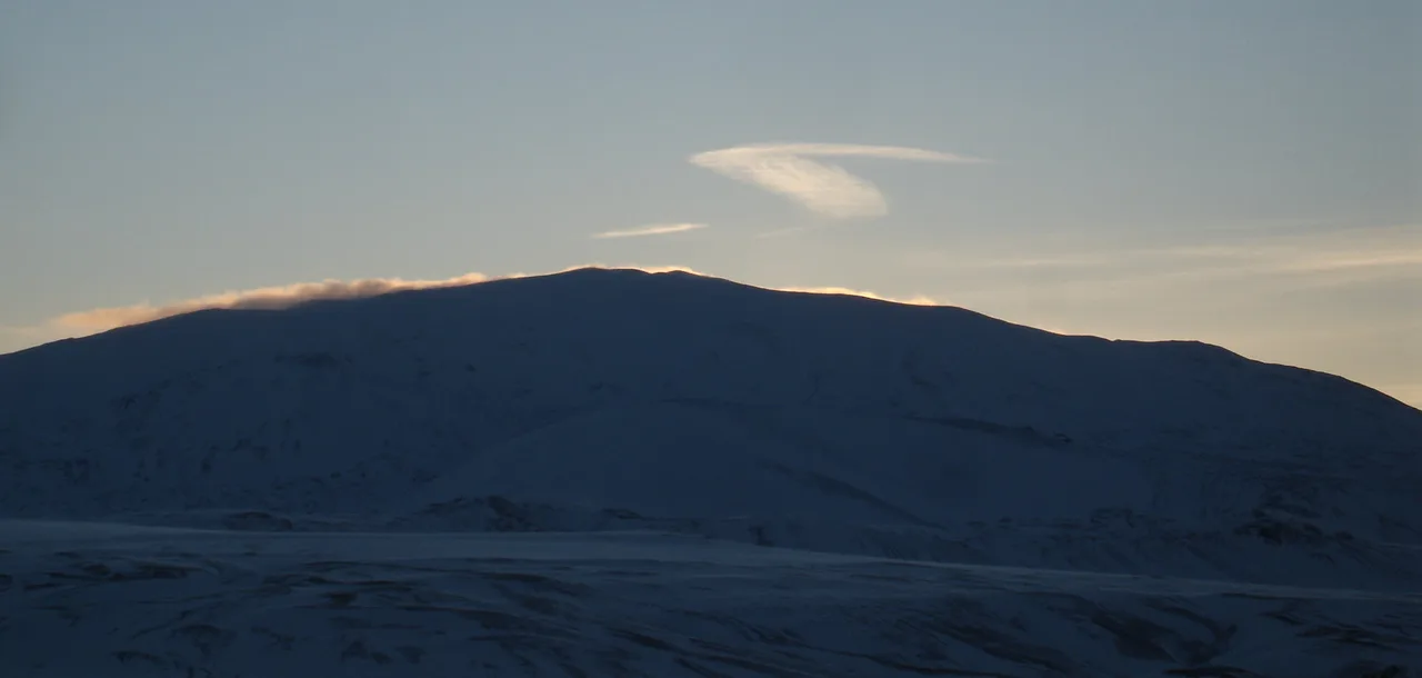
Hekla Volcano Guide: Safety, Hiking and Access
Last updated November 2026: Hekla is an active stratovolcano in south Iceland, about 1,491 m (4,892 ft) high, and one of the country's most active volcanoes. Whether you can walk on it depends on current volcanic conditions and official safety advice. Below you will find where it sits, how to judge a visit, and how it compares with Katla and Eyjafjallajökull.
Featured image: borkur.net, CC BY 2.0, via Flickr.
What Is Hekla?
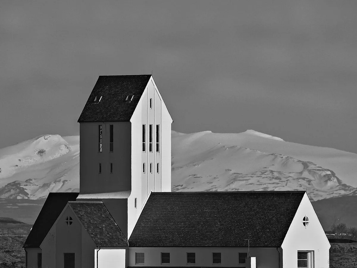
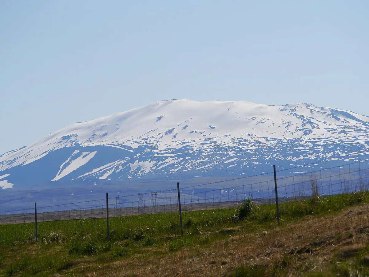
Hekla, also spelled Hecla, is a stratovolcano in the south of Iceland. It reaches 1,491 m (4,892 ft) and sits inland from the Ring Road, near Route 26 and the highland base of Landmannalaugar. Medieval Icelandic Norse people called it the "Gateway to Hell", and that idea spread across much of Europe. Treat the name as history, not a description of a visit. If you searched "Hekla" for something other than the volcano, such as a person or a company, this guide covers only the mountain.
Is Hekla Active and Safe to Visit?
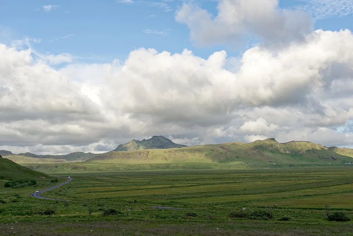
Hekla is one of Iceland's most active volcanoes, with more than 20 eruptions in and around the volcano since 1210. Its eruptions are often large and initially explosive. That pattern means warning time can be short, so a calm day on the slopes is not a guarantee. The Icelandic Met Office publishes current volcanic status and monitoring information. Read it on the morning you plan to go, not the night before. For hiking alerts and road conditions, use Safetravel Iceland. Access restrictions can apply near an active volcano, and you should follow them. For the full eruption record, see our page on the Hekla eruption history.
Hekla's Eruption Pattern and Warning Time
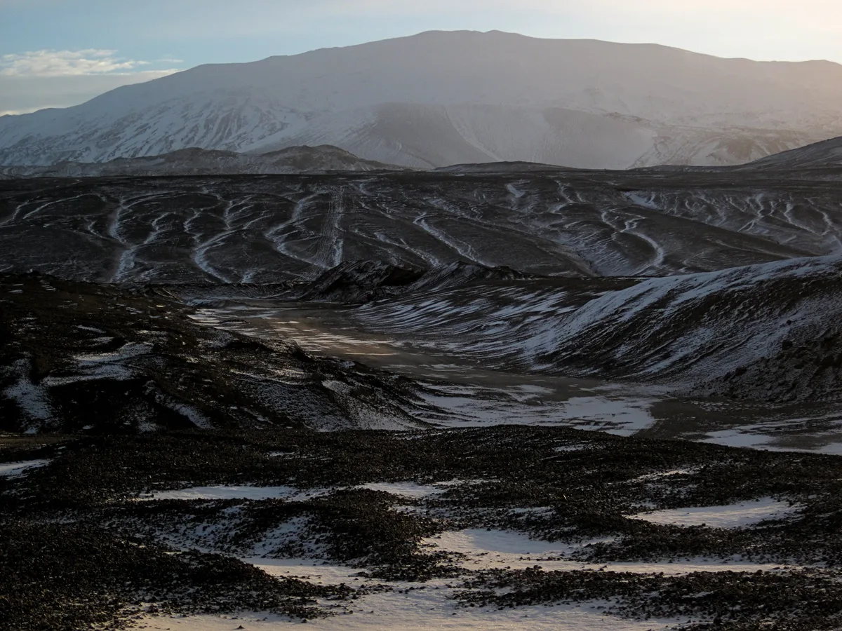
Hekla does not erupt from a single summit crater. It is a ridge-shaped volcano, and eruptions usually open a fissure along its length. That is why activity can start on one flank while the summit looks quiet.
The best-documented modern eruptions are listed below. Dates and durations are approximate, so use the Icelandic Met Office for the detailed record.
| Eruption | What to know |
|---|---|
| 1947-48 | Began in March 1947 and ran for roughly 13 months; ash fell as far as Finland |
| 1970 and 1980-81 | Fissure eruptions with lava flows and tephra |
| 1991 | Lasted a few weeks and produced lava flows |
| 2000 | Began in late February and lasted about two weeks |
From 1970 to 2000, Hekla erupted roughly every ten years. Earlier intervals were often longer. That is a pattern, not a schedule, so do not use it to judge whether a given week is safe.
Warning time is the practical issue. Instruments detect rising seismic activity shortly before an eruption, but in recent eruptions that gave only tens of minutes to about an hour. A hiker high on the mountain would have little time to get down. The Icelandic Met Office monitors the volcano continuously, but a quiet forecast does not remove the risk of being on a mountain that can erupt this quickly.
- Check the Icelandic Met Office status and Safetravel alerts on the day of your visit.
- If the status is raised or access is closed, change your plans.
- If you hike, tell someone your route and expected return time.
Can You Hike Hekla? Access and Decision Criteria
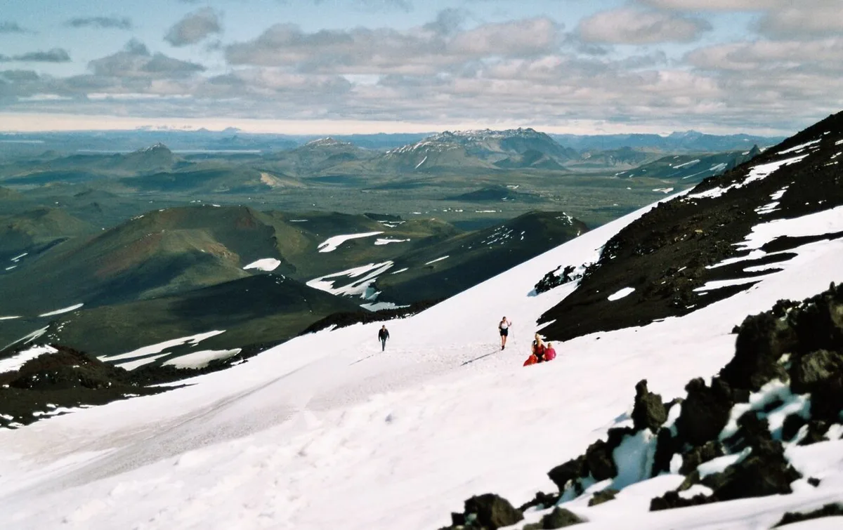
Whether the 1,491 m summit is a good idea depends on your experience, the season, the weather and current volcanic status. Lava terrain is rough, so sturdy boots and layers matter more than they would on a groomed trail. A guide adds local judgement about conditions. Guided or not, you should leave your route plan with someone and check Safetravel before you start. Do not rely on a hike time you read elsewhere unless it comes from a current official or operator source.
| Visitor | Best approach |
|---|---|
| Experienced hiker with proper boots and layers | Consider the hike only after checking volcanic status, weather and access that morning |
| Newer hiker or anyone unsure of the terrain | Join a guided trip or view Hekla from a distance |
| Short itinerary, no 4x4 or highland driving experience | View it from the Ring Road side and spend time elsewhere |
| Anyone when status is raised or access is restricted | Skip it and follow official advice |
How to Get There and Plan Your Day
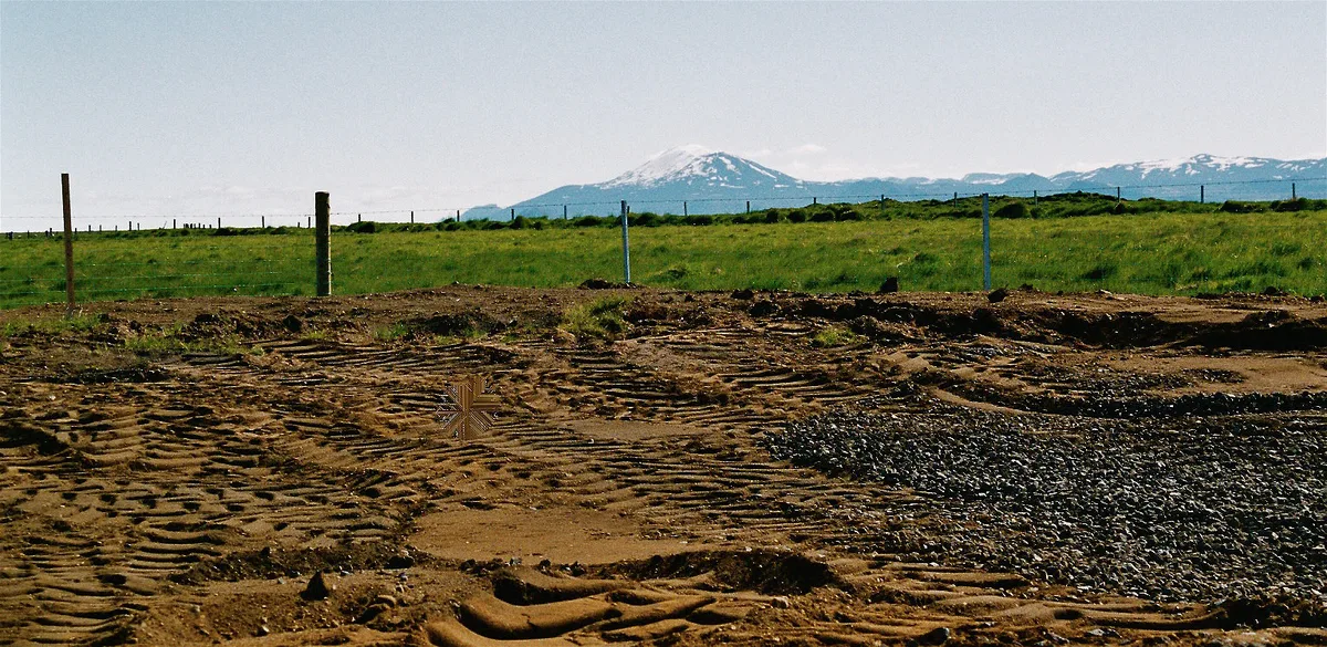
Start from the Ring Road in south Iceland and head inland toward Route 26 and the Landmannalaugar area. Highland roads are seasonal, and some sections may need a 4x4. Check road status with Vegagerðin and Safetravel before you leave. Services are thin inland, so fill your tank and carry food and water before you turn off the main road. Pairing Hekla with a Landmannalaugar day makes sense because the two sit in the same general area. A half day suits a viewpoint stop and a short look around. A full day suits a guided hike, or a hike plus a nearby stop, with margin for weather.
Route 26 leads toward Landmannalaugar, so a single highland day can cover both, but keep a margin for weather.
Hekla vs Eyjafjallajökull vs Katla
Each volcano suits a different kind of day. Hekla is the inland, highland-side choice. Eyjafjallajökull is known for its 2010 eruption, which disrupted air travel, and our Eyjafjallajökull guide covers it. Katla is linked to the ice cap of Mýrdalsjökull, and you can read more in our Katla overview. Our Mýrdalsjökull page covers the glacier itself.
| Volcano | Type or setting | Best for |
|---|---|---|
| Hekla | Stratovolcano, 1,491 m (4,892 ft) | Highland scenery, pairing with Landmannalaugar |
| Eyjafjallajökull | Ice-capped volcano | Learning about the 2010 eruption |
| Katla | Volcano under Mýrdalsjökull | Glacier and geopark-focused trips |
Why Hekla Matters: Tephra and Lava
Hekla's frequent eruptions have covered much of Iceland with tephra. Those layers are used to date eruptions at other Icelandic volcanoes. Roughly 10% of the tephra produced in Iceland over the last thousand years came from Hekla, about 5 km³ (1.2 cubic miles). Over the same period it produced around 8 km³ (1.9 cubic miles) of lava, among the largest volumes of any volcano in the world. To understand Icelandic volcanism more broadly, visit the Lava Centre.
Those tephra layers help date eruptions at other volcanoes, and the more than 20 eruptions since 1210 feed that record.
Mistakes to Avoid
Most problems come from treating Hekla like an ordinary hill. These are the errors that matter most:
- Treating it as a casual walk when it is an active volcano.
- Relying on yesterday's forecast or volcanic status instead of today's.
- Setting out without checking eruption, access and road status.
- Wearing weak footwear or thin layers on rough lava terrain.
- Driving a low-clearance car onto seasonal highland roads.
Frequently Asked Questions
Is Hekla volcano active?
Yes. Hekla is one of Iceland's most active volcanoes, with more than 20 eruptions in and around it since 1210. Check the Icelandic Met Office for current status before any visit.
What does Hekla mean in Icelandic?
The name is commonly explained as meaning a hooded or cloaked mountain. Hecla is an older spelling of the same name. Medieval Europeans also knew the volcano as the "Gateway to Hell".
How was Hekla formed?
Hekla is a stratovolcano built by repeated eruptions. Its frequent, often explosive events have spread tephra across Iceland and produced large volumes of lava over the last thousand years.




