
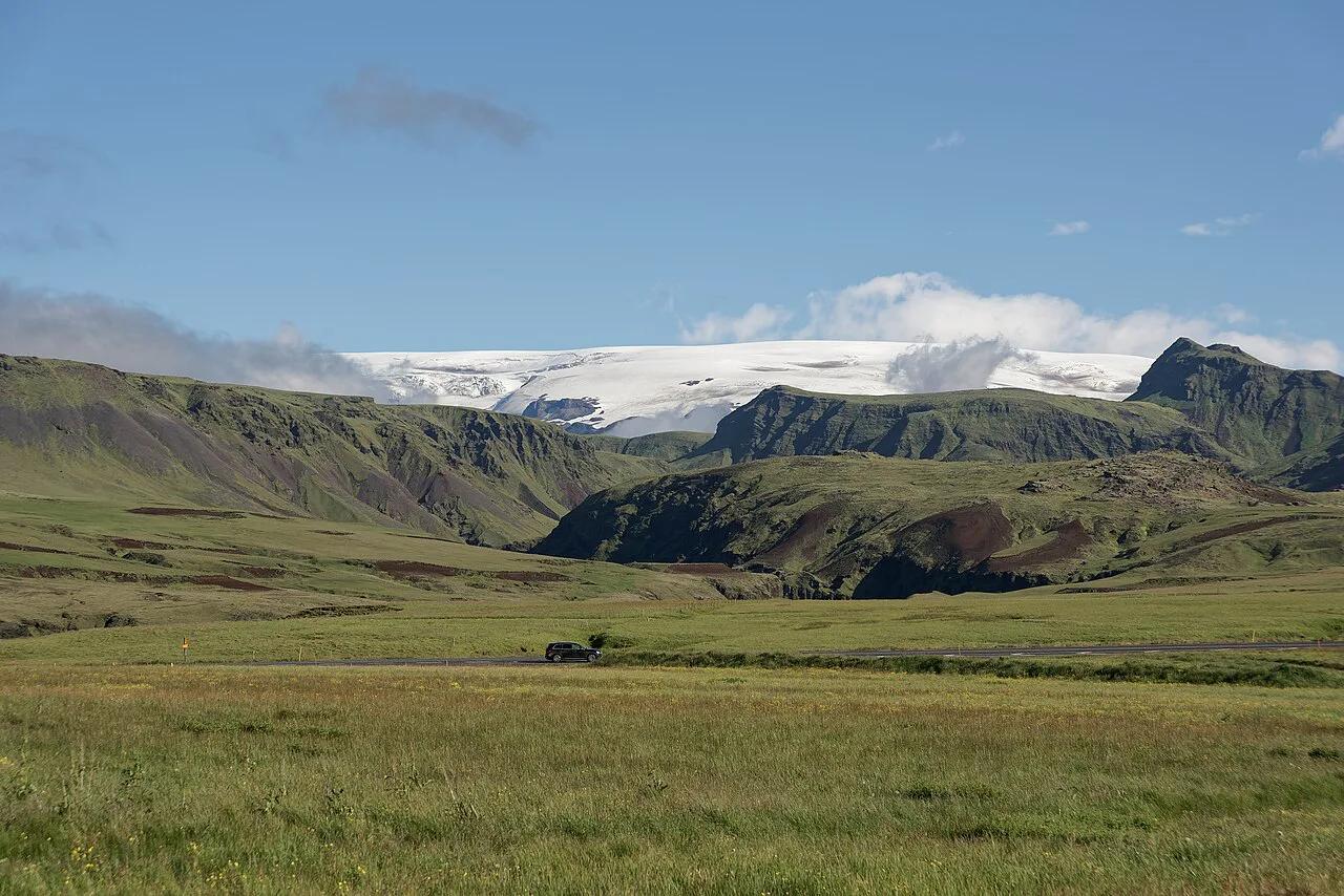
Mýrdalsjökull Glacier Guide: Katla, Access & Tours
Last updated November 2026: Mýrdalsjökull (myrdalsjokull) is an ice cap in South Iceland, north of Vík í Mýrdal, and the Katla volcano sits beneath it. There is no gate, ticket office or opening hours, so you reach the ice through guided tours, the Sólheimajökull outlet glacier or views from the Ring Road. Below you will find how the glacier relates to Katla, which options suit which traveler, and how to plan the drive from Reykjavik.
Featured image: Jakub Hałun, CC BY 4.0, via Wikimedia Commons.
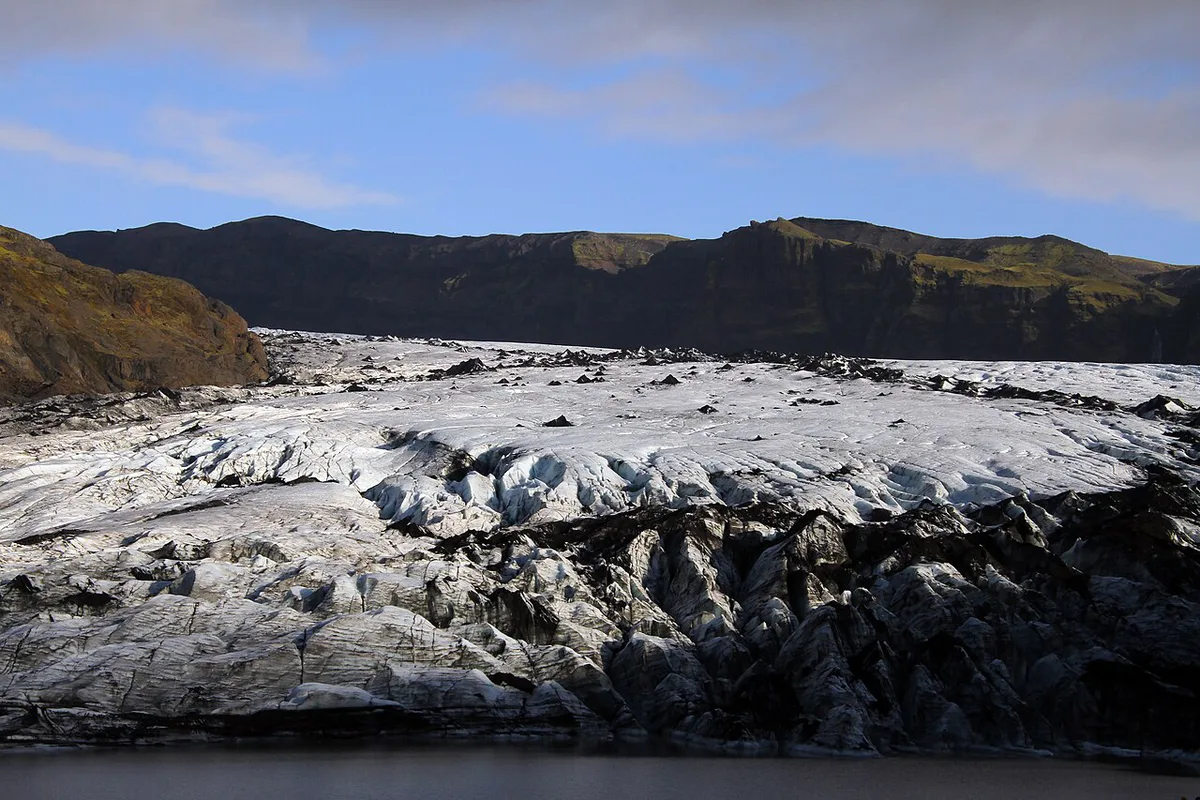
What Is Mýrdalsjökull (Myrdalsjokull)?
Mýrdalsjökull is an ice cap in the south of Iceland. It lies north of Vík í Mýrdal and east of the smaller Eyjafjallajökull ice cap. Between the two caps runs the Fimmvörðuháls pass. In 1980 the ice cap covered about 230 square miles, and it has shrunk since, so treat that number as a historical figure. Elevation figures for the summit differ between sources, so use the Icelandic Met Office if you need a precise number. For orientation, our Eyjafjallajökull area map shows how the two ice caps sit relative to each other.
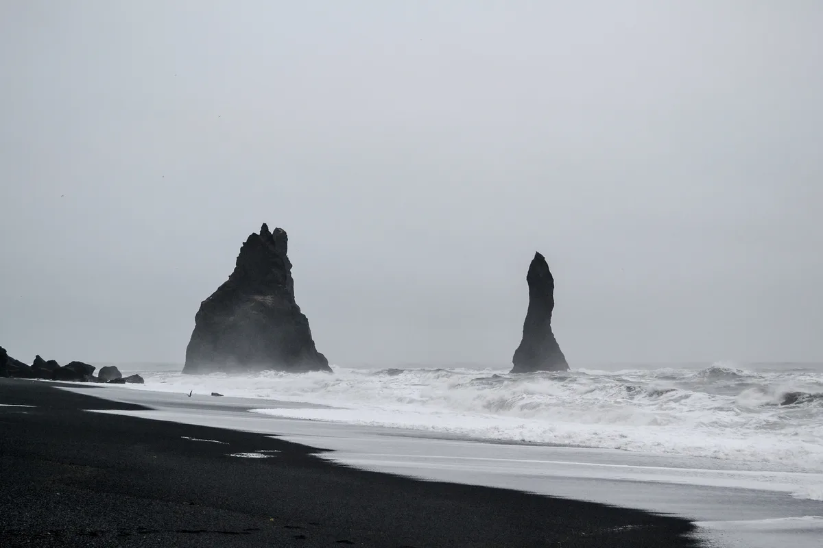
Mýrdalsjökull and Katla Volcano: How They Relate
Think of the glacier as the lid and Katla as the volcano underneath. Katla's caldera has a diameter of about 6 miles. Its eruptions melt ice quickly, and that meltwater can send glacial floods called jökulhlaups down the rivers draining the ice cap. Eruption intervals have been quoted as every 40 to 80 years, and the last major eruption was in 1918. Sixteen eruptions have been documented since the year 930. None of this is a forecast, and the Met Office runs the monitoring and issues any warnings. Eldgjá, a fissure about 19 miles long that erupted in 936, belongs to the same volcanic system. Our guide to Katla volcano goes deeper on the geology. Past events are covered in the Katla eruption history page.
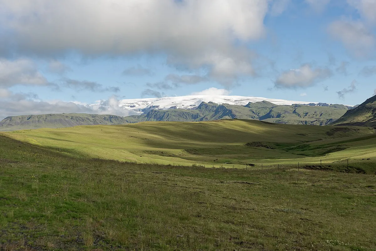
Can You Visit Mýrdalsjökull? Access and Safety
You can see the ice cap freely, but you cannot simply walk onto it. Crevasses, hidden snow bridges and glacial rivers make unguided travel on the ice unsafe. Any trip onto the ice goes through a licensed guide. Weather decides whether tours run, so build a spare day into your plan. Current conditions and alerts are posted on Safetravel Iceland. The region's wider geology and visitor information sits with the Katla UNESCO Global Geopark. Without a guide, you stay at viewpoints and on marked paths.
Ways to Experience the Glacier
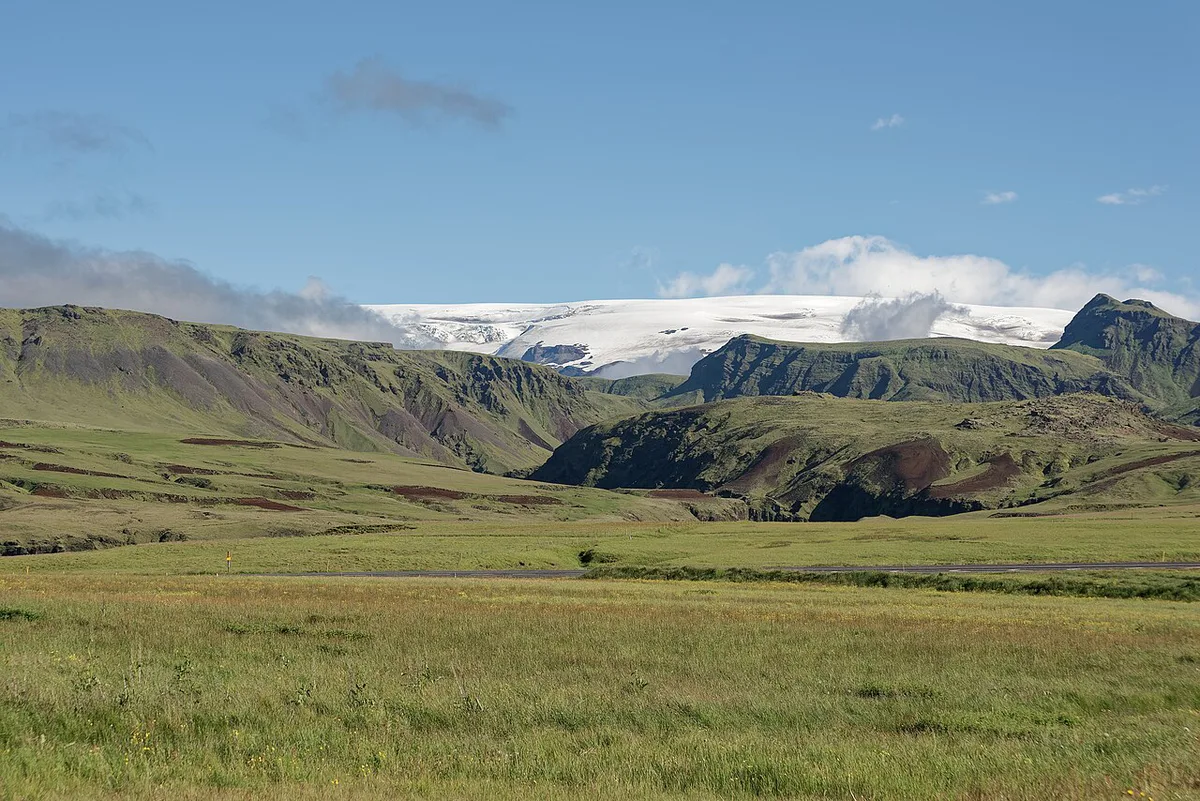
Four options cover most visits. Each differs in effort, season and cost. Cost tiers are relative, and operators set their own prices.
| Option | Access type | Season | Fitness and age | Guided? | Cost tier | Best for |
|---|---|---|---|---|---|---|
| Sólheimajökull glacier walk | Outlet tongue near the Ring Road | Mostly year-round, subject to conditions | Moderate; operators set minimum ages | Yes | Medium | First-time glacier walkers |
| Snowmobile or super-jeep on the ice cap | Higher on the ice cap | Wider choice in summer; varies by operator | Low effort, but cold exposure | Yes | High | Travelers who want ice-cap views without hiking |
| Ice cave tour | Natural caves inside the ice | Typically winter only | Moderate; uneven footing | Yes | Medium to high | Winter visitors seeking blue ice |
| View from the road | Ring Road and nearby villages | All year | None | No | Low | Short stops and tight schedules |
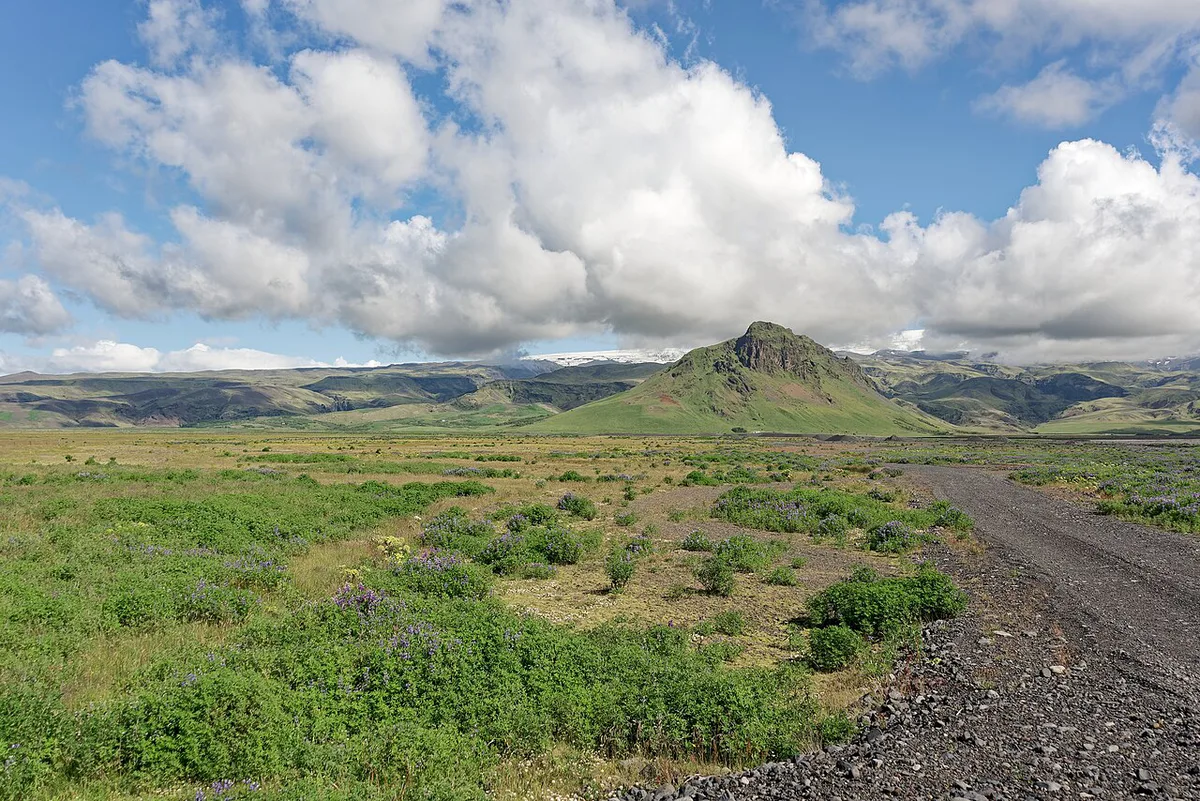
- Sólheimajökull is the most accessible tongue of the ice cap. See our Sólheimajökull guide for the details.
- Ice caves form and change each year, so operators choose the cave and meeting point on the day.
Best Time to Visit
Summer gives the widest range of ice-cap tours and the longest daylight. Winter brings ice cave season but short days and more cancellations. Wind, rain and low cloud can hide the ice cap entirely in any month. Check forecasts with the Met Office for several days rather than one. Ask your operator about its cancellation terms before you book.
How to Get There From Reykjavik and Where to Stay
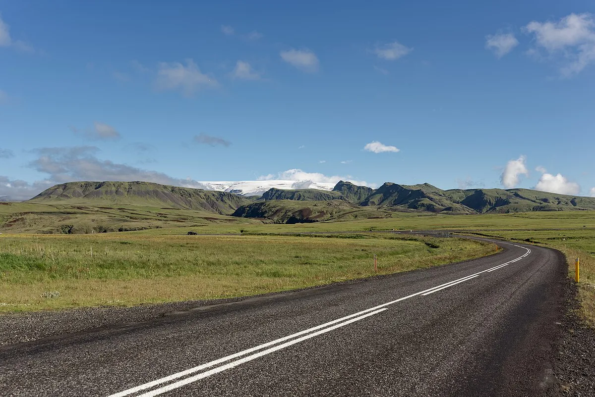
Drive east along the Ring Road. Sólheimajökull and Skógar lie on the western side of the ice cap, and Vík í Mýrdal lies to the south. A self-drive works for the road and the viewpoints, but the ice itself needs a guide. A single day trip along the south coast is possible if you start early. Staying overnight near Vík or Skógar gives you a buffer if weather moves your tour. Look up drive times on an official road map before you commit to a schedule. Tour meeting points differ by operator, so confirm yours in your booking.
Mistakes to Avoid
A few errors cause most of the disappointment and danger on this stretch of coast.
Eyjafjallajökull's April 2010 eruption belongs to a different ice cap, so never credit it to Katla under Mýrdalsjökull.
- Do not walk onto the ice without a guide.
- Do not treat the Eyjafjallajökull and Mýrdalsjökull ice caps as one glacier. Eyjafjallajökull erupted in April 2010 and is a separate cap to the west.
- Do not rely on a single day's weather.
- Do not assume operators share meeting points.
Nearby Stops and Related Reading
Skógar and the Fimmvörðuháls pass lie on the western side. Read about the Fimmvörðuháls route if you want a hike between the two ice caps. The neighbouring volcano is covered in our Eyjafjallajökull guide. For regional context, see the Katla Geopark Guide: What to See, How to Visit page. On a poor-weather day, the Lava Centre exhibit explains volcanoes indoors.
Frequently Asked Questions
What does jökull mean in Iceland?
Jökull is the Icelandic word for glacier. It appears at the end of names such as Mýrdalsjökull, Sólheimajökull and Eyjafjallajökull.
What is the best glacier to visit in Iceland?
On this stretch of the south coast, Sólheimajökull is the easiest to reach because it is an outlet tongue of Mýrdalsjökull. Choose a guided walk there, or tour the ice cap itself if you want a bigger trip.





