
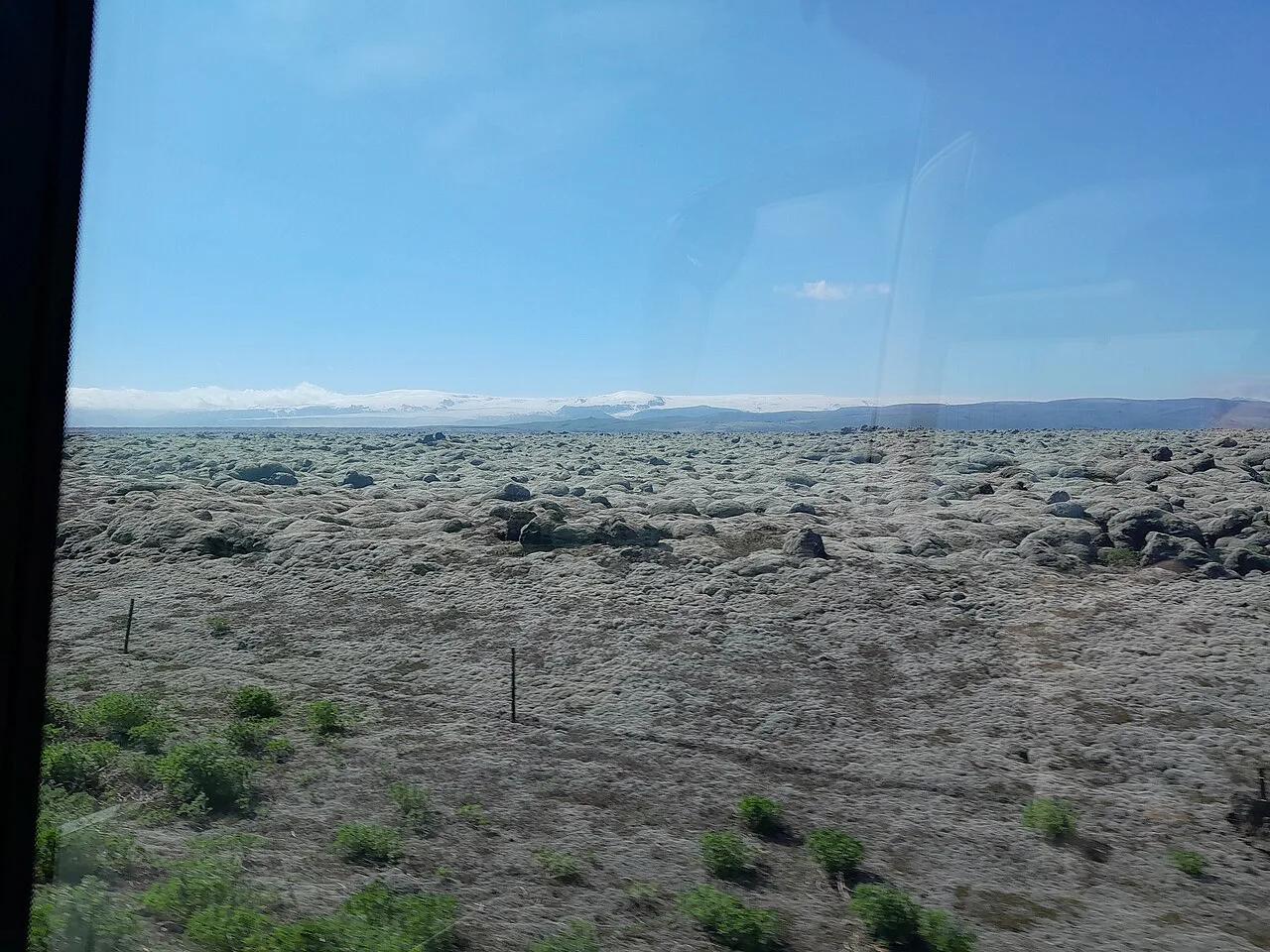
Katla Eruption: Risk, Warning Signs & Travel Impact
Last updated November 2026. A Katla eruption is the scenario most visitors to southern Iceland ask about, and it carries a different risk from the 2010 ash event. Katla's last major eruption was in 1918, and this guide explains what that history means for flights, the Ring Road and your itinerary. Current volcano status changes by the day, so the page also shows where to read it live.
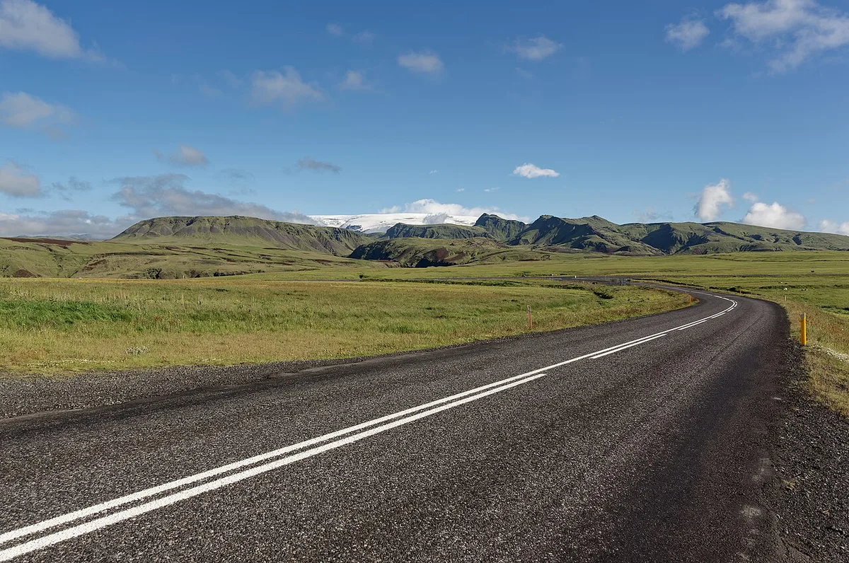
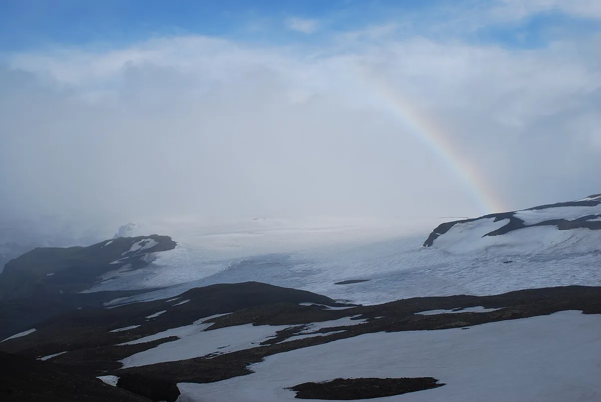
Featured image: Hornstrandir1, CC BY-SA 4.0, via Wikimedia Commons.
Katla Eruption: The Short Answer
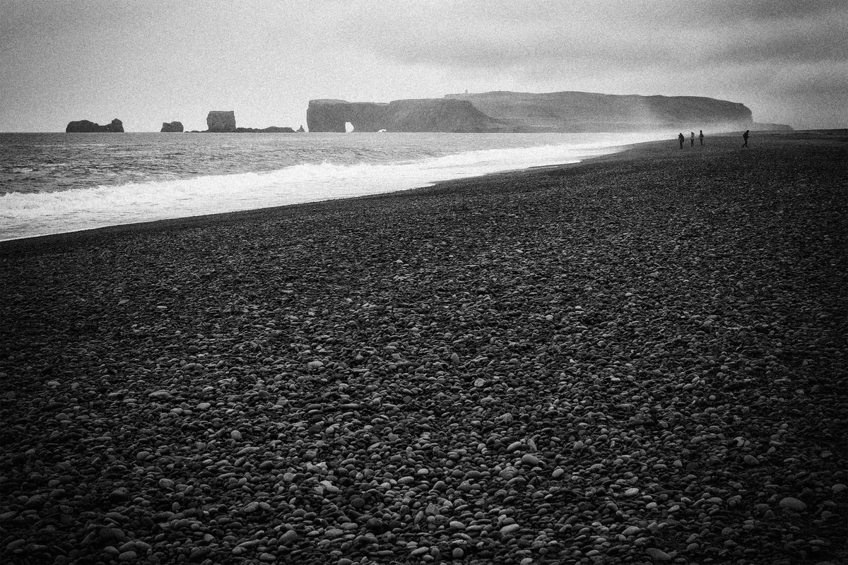
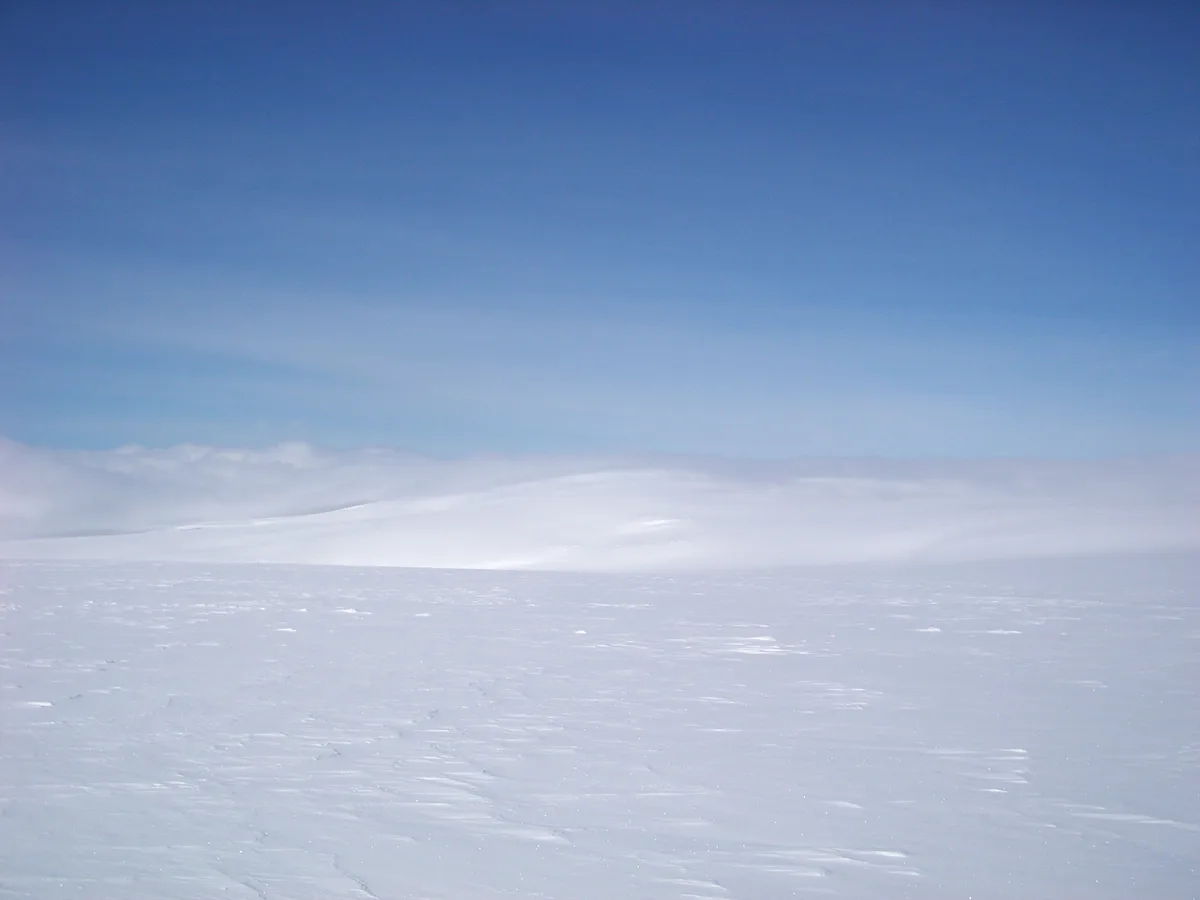
Katla is a volcano under the Mýrdalsjökull ice cap in southern Iceland. Its last major eruption was in 1918, and meltwater from that event burst out across the plain below the glacier. That kind of flood is called a jökulhlaup. The Icelandic Met Office and the Smithsonian Global Volcanism Program both document it. This page does not state whether Katla is active today. Use the live sources in the status section below. For the general profile of the volcano, read our Katla volcano guide.
How Often Katla Erupts, and Why "Overdue" Is Misleading
Katla has a long eruption record. Many popular summaries say it erupts "every 80 years or so" and call it overdue because 1918 is more than a century back. Treat that as a rough pattern, not a schedule. Volcanoes do not run on a timer, and gaps between Katla eruptions have varied. Scientists at the Icelandic Met Office monitor the volcano for this reason, and they do not rely on averages. Earthquake swarms under Mýrdalsjökull are reported fairly often. A swarm shows that the ground is moving, but it does not mean an eruption is coming. In August 2016, quakes of magnitude 4.2 and 4.5 hit Katla and drew headlines. No eruption followed. Read swarm headlines as prompts to check the official status, not as forecasts.
Katla vs Eyjafjallajökull vs Hekla
Travelers often mix up southern Iceland's volcanoes. The 2010 ash cloud that stopped flights came from Eyjafjallajökull, not Katla. Our account of the 2010 Eyjafjallajökull eruption covers what happened. The table compares the three volcanoes by what matters to a visitor.
| Volcano | Setting | Last major eruption | Main traveler hazard |
|---|---|---|---|
| Katla | Beneath the Mýrdalsjökull ice cap | 1918 | Glacial flood and ash |
| Eyjafjallajökull | Ice-capped volcano next to Mýrdalsjökull | 2010 | Ash and flight disruption |
| Hekla | Inland, without a large ice cap | See our Hekla eruption page | Short warning before eruption |
What a Katla Eruption Would Mean for Travelers
An eruption under an ice cap melts ice fast. The main local danger is therefore a jökulhlaup on the plains south of Mýrdalsjökull, as happened in 1918. Authorities close the affected roads and river plains, and those closures are not optional. Ash is a separate problem. It can disrupt aviation, as in April 2010. Ash disruption depends on wind and eruption size, and Eurocontrol publishes European airspace updates. Flood danger stays local, while ash can reach flight routes far away. Most of Iceland, including Reykjavík, would not face flood risk. The stretch of Route 1 near Vík í Mýrdal is the part of the Ring Road most likely to close. Our Mýrdalsjökull ice cap guide shows the area that sits above Katla.
How to Check Katla's Status Before and During Your Trip
Last checked November 2026. Conditions change, so confirm the details below on the day you travel. Start with the Icelandic Met Office, which publishes volcano monitoring, earthquake data and alert levels. Next, register for Safetravel Iceland alerts, which cover road and glacier warnings for travelers. In an emergency in Iceland, call 112. Check your airline's own notices if ash is reported.
Quake data on the Icelandic Met Office site is where swarms like the magnitude 4.2 and 4.5 events of August 2016 would appear.
- Volcano status and quake maps: Icelandic Met Office.
- Traveler alerts and road warnings: Safetravel Iceland.
- Airspace and ash updates: Eurocontrol and your airline.
- Emergencies: 112.
Seeing Katla Country Safely
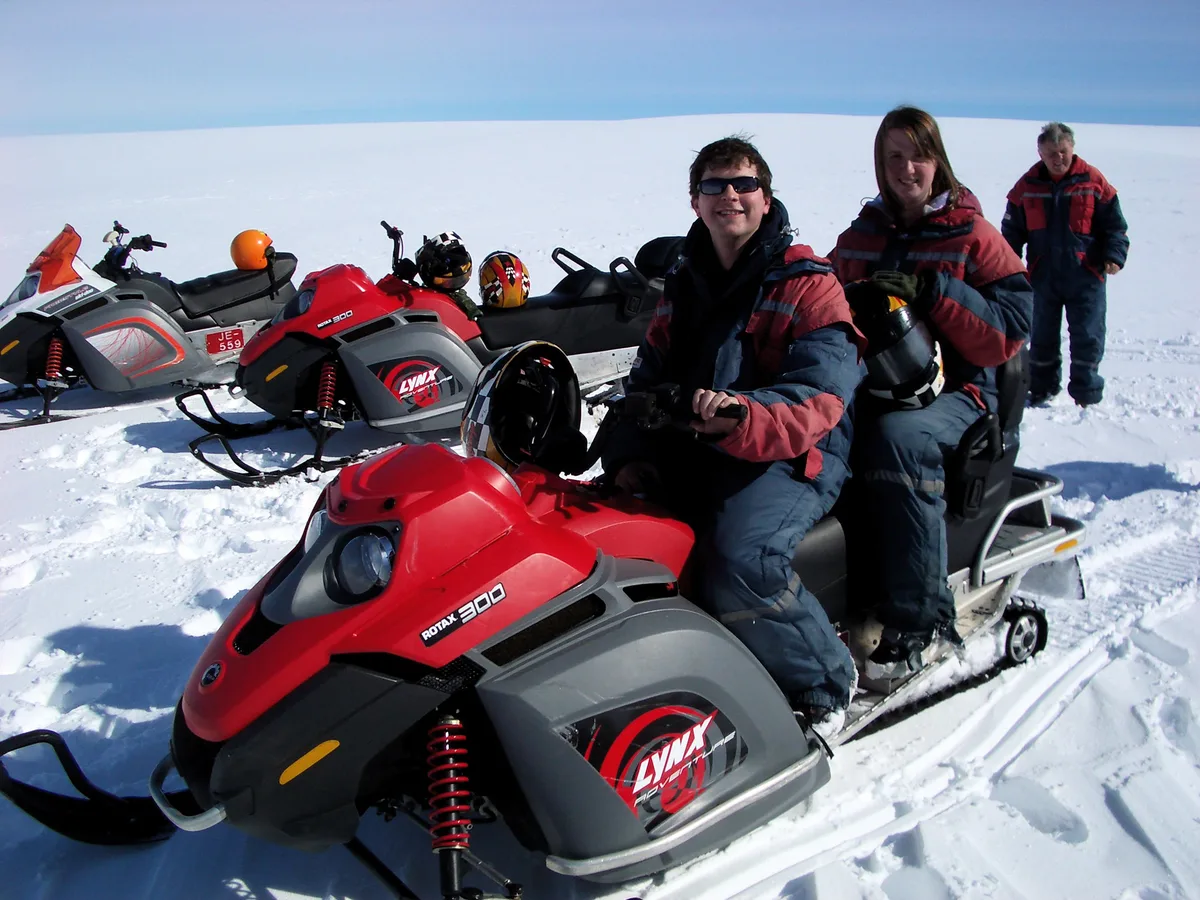
You cannot see the crater itself, because it lies under the ice. You can see the landscape it shaped. Vík, Skógar and the south coast are reachable by car on Route 1 in most seasons. Winter weather can close sections, so allow extra time. Glacier tongues are dangerous on your own. Go with a licensed guide on Sólheimajökull glacier, and follow the guidance of the Vatnajökull National Park glacier safety team on ice conditions. For the geology, the Katla UNESCO Global Geopark describes the area. Our Katla Geopark visitor guide covers sites inside it. Indoor options suit bad weather.
- Self-drive viewpoints along Route 1: low cost, flexible, best in summer, no glacier travel.
- Guided glacier hike at Sólheimajökull: moderate to high cost, needs fitness and a licensed operator.
- Lava Centre exhibits: low to moderate cost, indoors, works in any weather.
- Highland trips such as Landmannalaugar: summer only, since F-roads open seasonally.
If It Erupts During Your Trip
Guidance is simple, and official channels come first. Follow the instructions of Icelandic civil protection and local police, and do not rely on social media rumors. Stay out of river plains and glacier areas while closures apply. A flood-prone plain can look calm until the water arrives. Treat this checklist as a planning aid, not a replacement for official orders.
Plains south of Mýrdalsjökull flooded in 1918, which is why closures cover river plains even when the water looks calm.
- Check Safetravel Iceland and the Icelandic Met Office for the current alert.
- Call 112 if you are in danger.
- Ask your airline about rebooking if ash affects flights.
- Check Route 1 near Vík before driving, and follow road closures.
- Ask your accommodation about flexible cancellation.
- Read your travel insurance wording on volcanic disruption before you leave.
See our tourism attractions guide for the broader city overview.





