
Katla Volcano, Iceland: What It Is and How to Visit
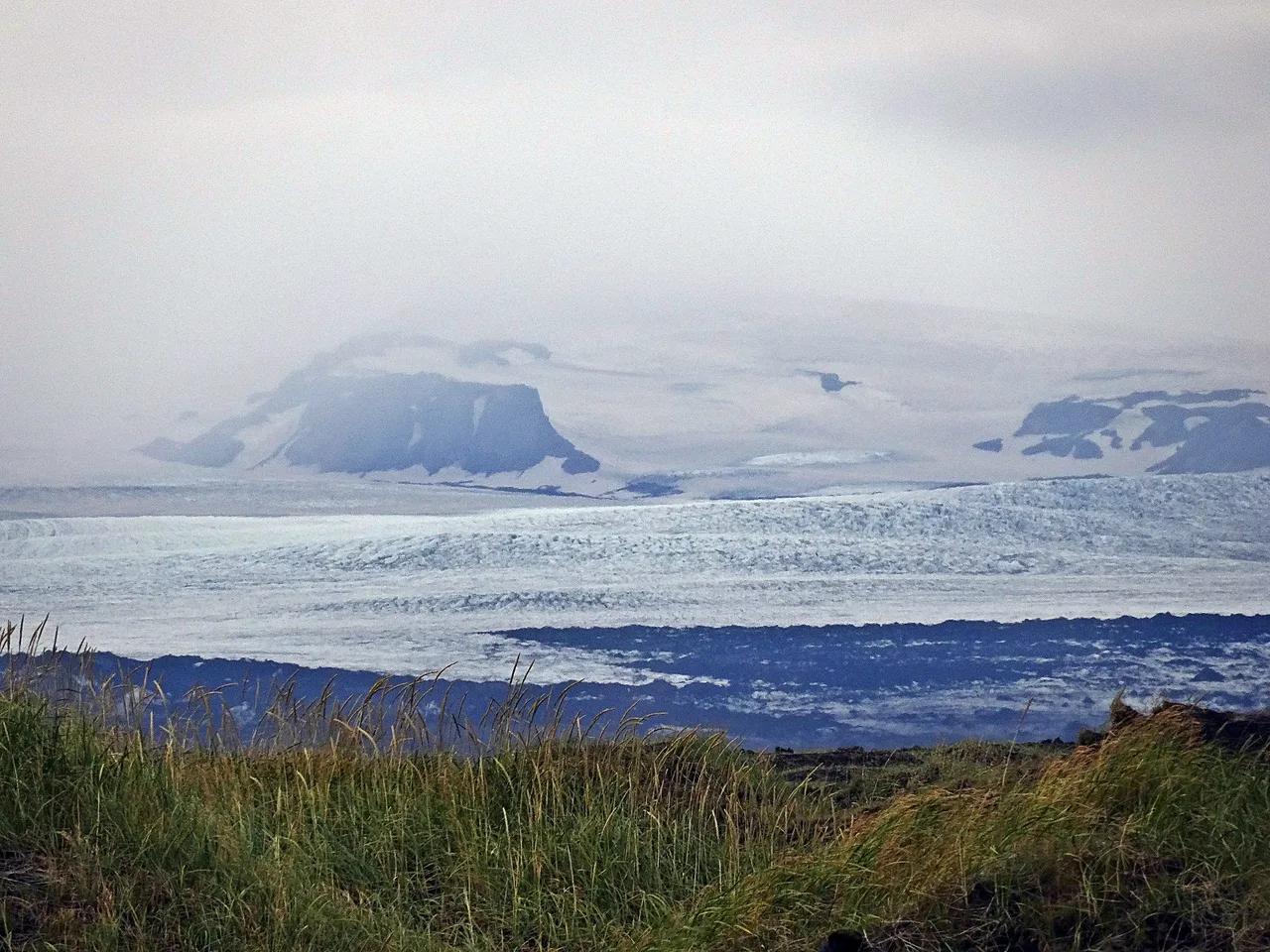
Last updated November 2026. Katla is a subglacial volcano beneath the Mýrdalsjökull ice cap in south Iceland, close to Vík í Mýrdal. If you searched for the Netflix series, this page covers the real volcano instead. Eyjafjallajökull sits next door but is a separate volcano, and you will see Katla through its glaciers and visitor sites.
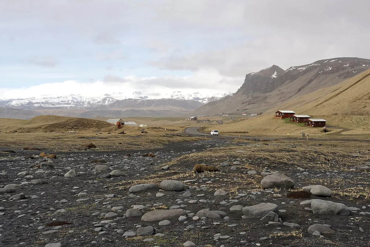
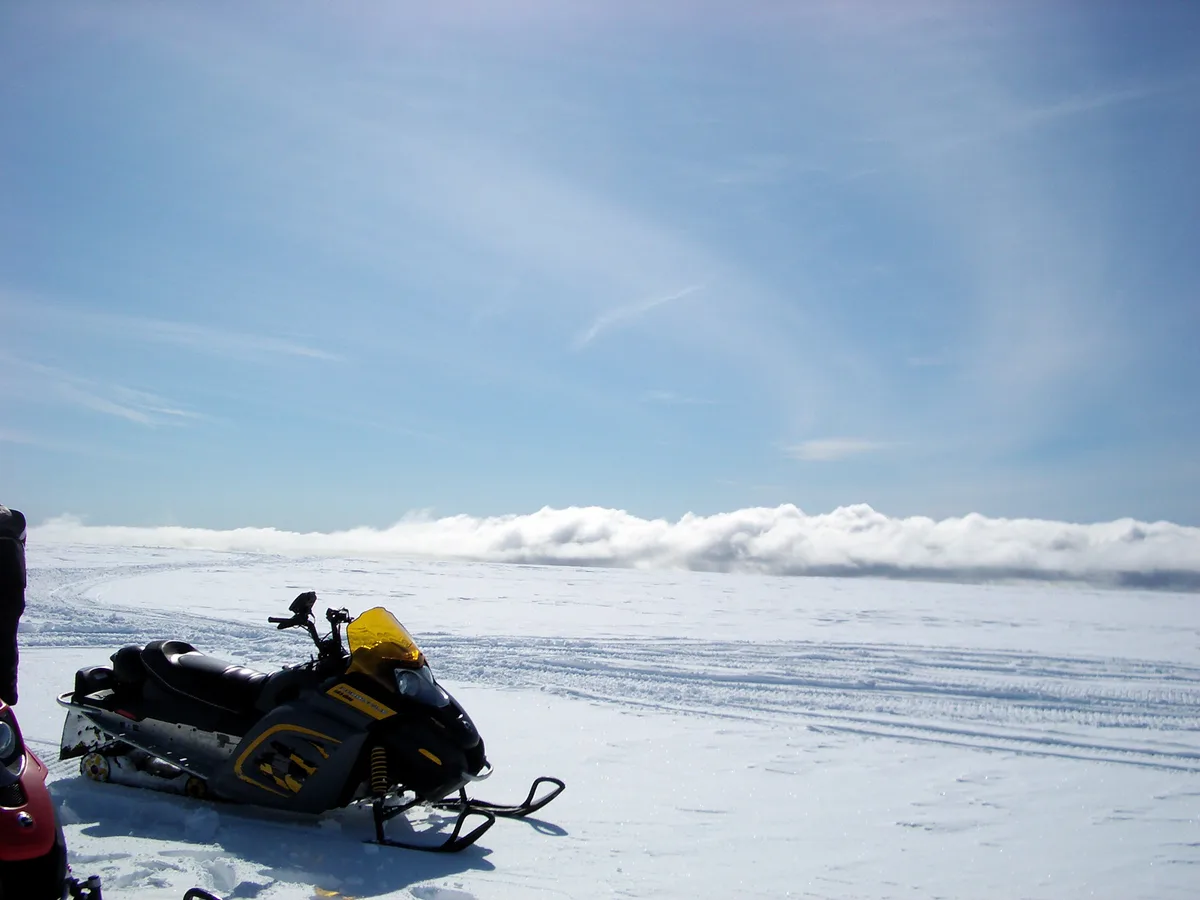
Featured image: amanderson2, CC BY 2.0, via Flickr.
What is Katla? (and not the Netflix series)

Katla is a volcano with a large caldera hidden under the ice of Mýrdalsjökull. Nobody can walk up to a crater, because the whole system lies beneath glacier ice. The Icelandic Met Office tracks it through its volcano monitoring network. The TV series named Katla is fiction set in Vík and says nothing reliable about the geology. Everything below describes the volcano and the landscape around it.
Katla vs Eyjafjallajökull: how they differ
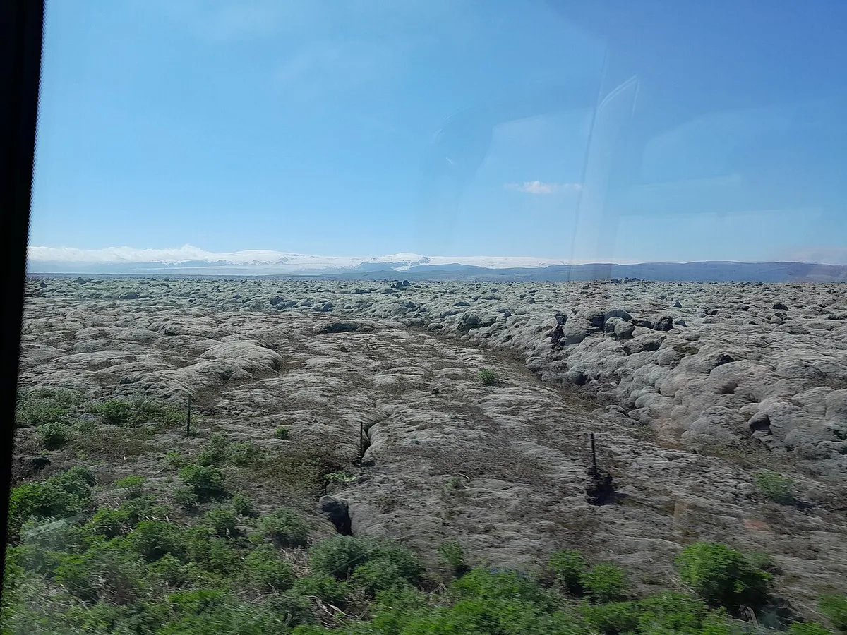
Visitors often mix up the two because the ice caps sit close together in the south. Eyjafjallajökull has its own ice cap and became famous for the 2010 eruption that disrupted air traffic. Katla lies under the larger Mýrdalsjökull. Hekla is a third volcano, and it has no ice cap. The table sets out the practical differences.
| Feature | Katla | Eyjafjallajökull | Hekla |
|---|---|---|---|
| Type of setting | Subglacial volcano with a caldera under ice | Glacier-capped volcano | Volcano without an ice cap |
| Ice cover | Under the Mýrdalsjökull ice cap | Under its own ice cap | None |
| Crater access | None for visitors | None for casual visitors | Highland access only |
| Where visitors experience it | Outlet glaciers, geopark sites, Vík area | Visitor centre, tours, hiking routes | Highland roads and hikes |
Is Katla active, and is it dangerous?
Katla is an active volcano, and it is watched closely. For eruption history and what a future eruption could mean, read our Katla eruption guide. An eruption under ice can melt ice quickly and send glacial floods down outwash plains. Official sources give no dates or probabilities, so treat any forecast you see online with caution. For comparison, our page on whether Eyjafjallajökull is active explains how Icelandic volcano status is reported. As a visitor, the real risks are weather, glacier ice and closed roads. Follow warnings from the Met Office and Safetravel Iceland.
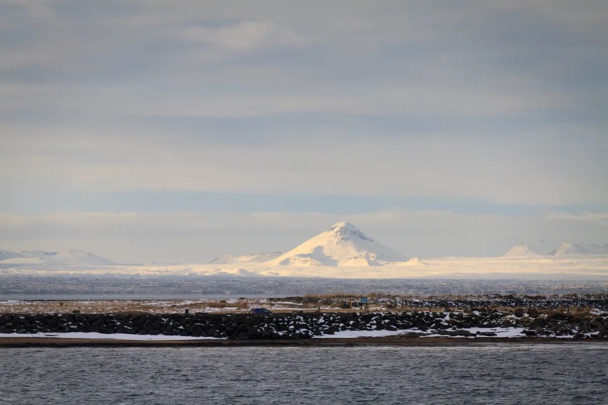
Katla's last major eruption in 1918 and what it means for Vík
Katla's most recent large eruption began in October 1918 and lasted about three weeks. That is the event people mean when they say Katla is "overdue", and it is the main link between the volcano and the village of Vík í Mýrdal. Historical records show Katla erupting roughly every 40 to 80 years, but the pattern is irregular. Treat it as background, not a forecast. The Katla entry on Wikipedia summarises the recorded eruptions.
Why the 1918 eruption still matters to visitors:
- The flood, not the ash, did the damage. Meltwater from under Mýrdalsjökull poured across the outwash plain of Mýrdalssandur, east of Vík. It carried huge amounts of sediment and pushed the coastline several kilometres out to sea.
- The landscape is the evidence. The black, flat sandur you drive across on the Ring Road is a product of repeated Katla floods. Seen from the road, it shows how far the water can travel.
- Vík is planned around it. Local authorities run flood-response planning for the village, and residents take part in evacuation exercises. The church on the hill above the village is widely known as a safe gathering point.
For a short stay, the practical point is simple. There is no warning you need to act on in normal conditions, and the Icelandic Met Office monitors the volcano continuously. If an alert is ever issued while you are in the area, follow the instructions of the local authorities and check Safetravel Iceland and road.is for closures. Do not drive toward the sandur to "get a look".
The Netflix series borrows Vík's setting and the Katla name, but its plot is invented. The real history of the village is the 1918 flood and the plans built around future eruptions.
How to see Katla and Mýrdalsjökull as a visitor
You see Katla indirectly, through the ice cap that covers it. Outlet glaciers are the easiest way in. Sólheimajökull is an outlet glacier of Mýrdalsjökull. Geology exhibits help you make sense of what lies beneath the ice. The Lava Centre is one option. The Katla UNESCO Global Geopark lists sites and visitor information across the region. Our Katla Geopark guide covers those stops in more depth. Costs below are relative levels, not prices.
No 4x4 still leaves you options. Vík í Mýrdal works as a base for outlet glacier and geopark stops along the south coast.
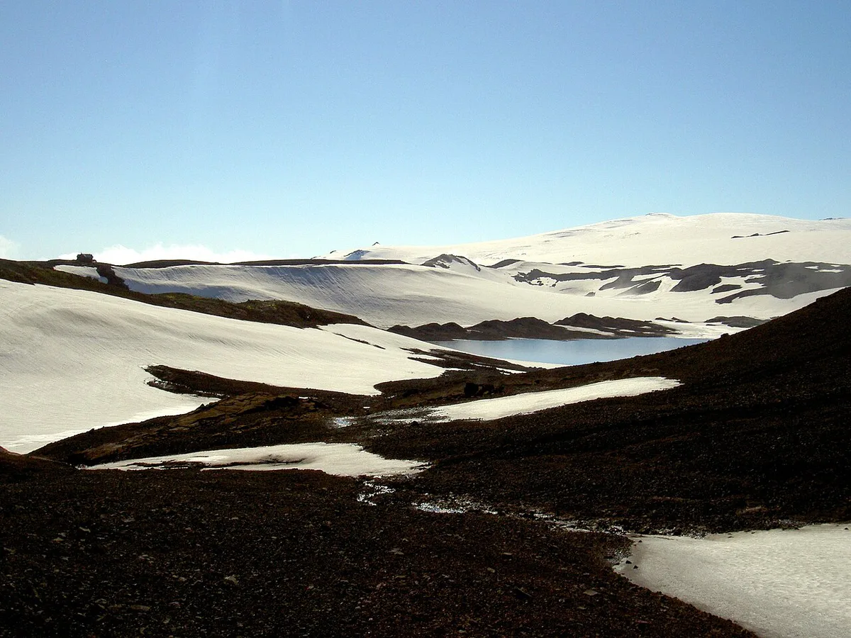
| Option | Cost level | Access | Fitness and weather |
|---|---|---|---|
| Self-drive to an outlet glacier viewpoint | Low | Ordinary road access, then a short walk | Low fitness needs; wind and rain matter |
| Visitor centre or exhibition | Low to medium | Indoors, any season | Weather-proof |
| Guided glacier hike | Medium | Guide and equipment supplied | Moderate fitness; cancelled in bad conditions |
| Super-jeep or snowmobile tour | High | Operator vehicle onto higher ground | Low fitness; weather can stop departures |
- Short on time: choose an outlet glacier or a visitor centre.
- No 4x4: skip highland routes and book a guided tour instead.
- Want ice underfoot: go only with a certified glacier guide.
Seasonal timing and safety logistics
Conditions change with the season. Winter brings short daylight, ice on roads and more cancelled tours. Summer opens more highland tracks, but river crossings and weather still change plans. Check road.is and Safetravel Iceland on the day you travel. The Vatnajökull National Park glacier safety advice sets out the same rules that apply on any Icelandic glacier. If you want a guided option, start with tours around Eyjafjallajökull.
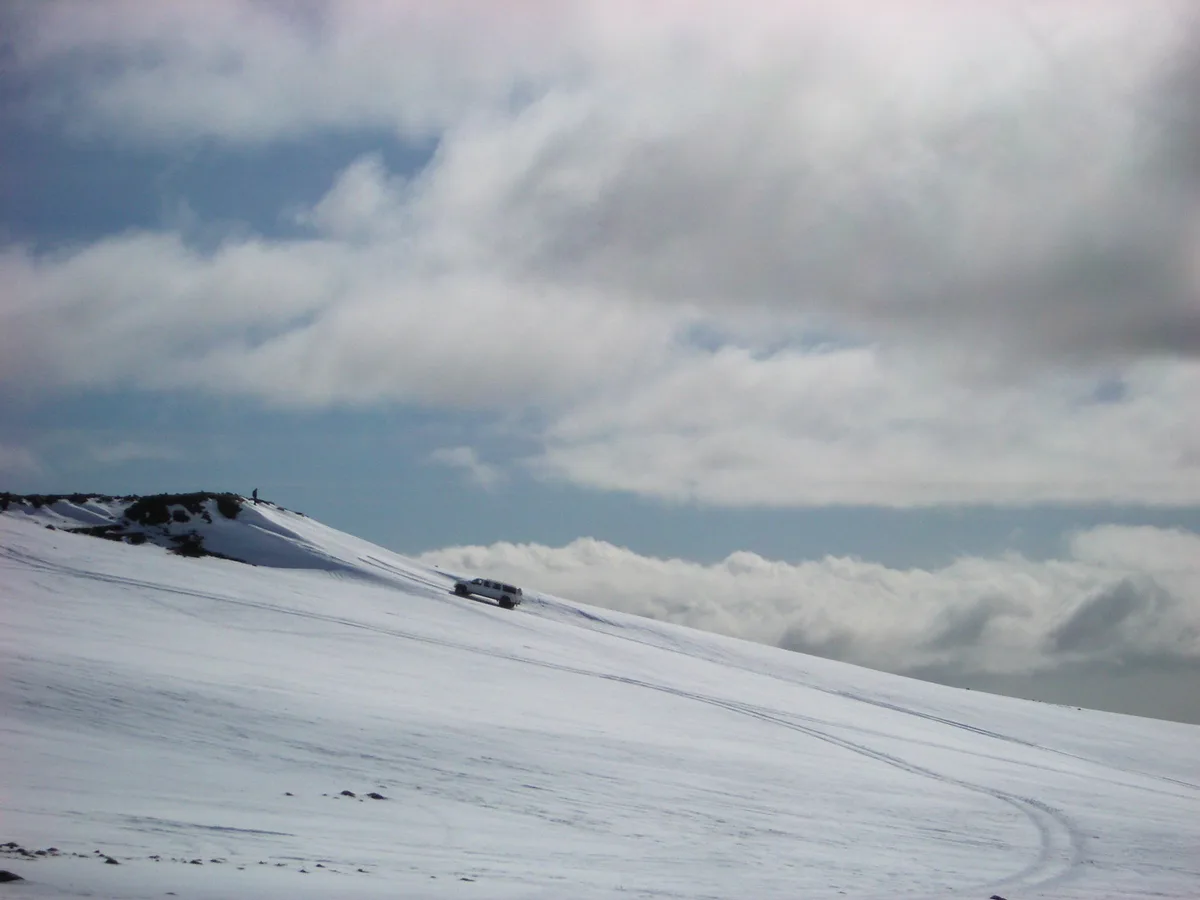
- Never walk onto glacier ice without a guide and proper equipment.
- Do not confuse Katla with Eyjafjallajökull when you book a tour.
- Do not ignore road closures or weather alerts.
- Do not expect to reach a crater, because none is accessible.
Where to stay and base yourself
Vík í Mýrdal is the natural base for Katla country, since it lies close to Mýrdalsjökull. Use it for outlet glacier and geopark stops along the south coast. Visit South Iceland lists accommodation and tours across the wider region. If you want to go further afterwards, Hekla and Landmannalaugar are natural next steps for volcano fans.
Frequently Asked Questions
What kind of volcano is Katla?
Katla is a subglacial volcano with a caldera beneath the Mýrdalsjökull ice cap. Because it sits under ice, an eruption there can trigger glacial floods. The Icelandic Met Office monitors it.




