Eyjafjallajökull Visitor Center: Location, Costs and What to Expect
Last updated November 2026: the Eyjafjallajökull visitor center is the Eyjafjallajökull Erupts centre at Þorvaldseyri, a farm beside Route 1 near Seljalandsfoss. Its film and exhibition tell the 2010 eruption story from the farm that sat under the ash fall. For wider volcano and earthquake science, drive on to the LAVA Centre in Hvolsvöllur.
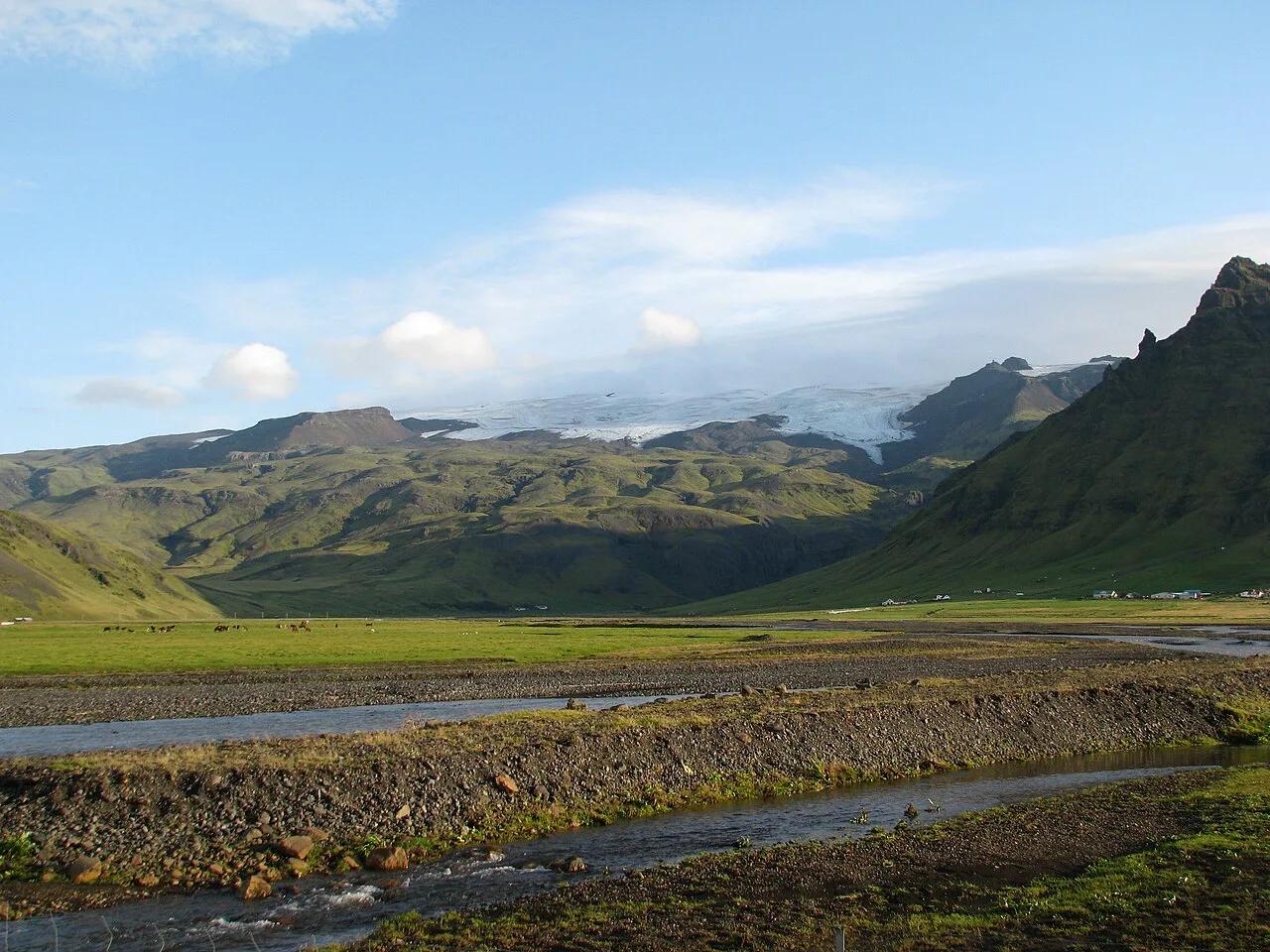
Featured image: Ajay Suresh from New York, NY, USA, CC BY 2.0, via Wikimedia Commons.
Eyjafjallajökull Visitor Center: What It Is and Where to Find It
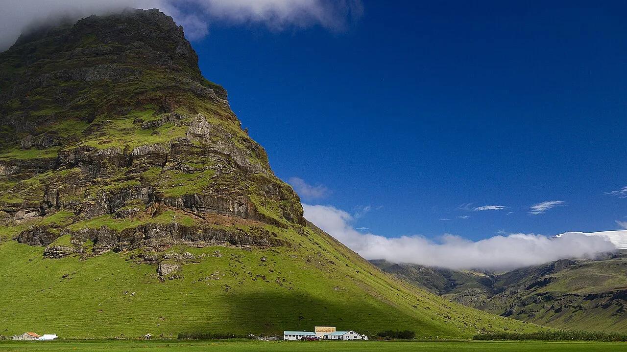
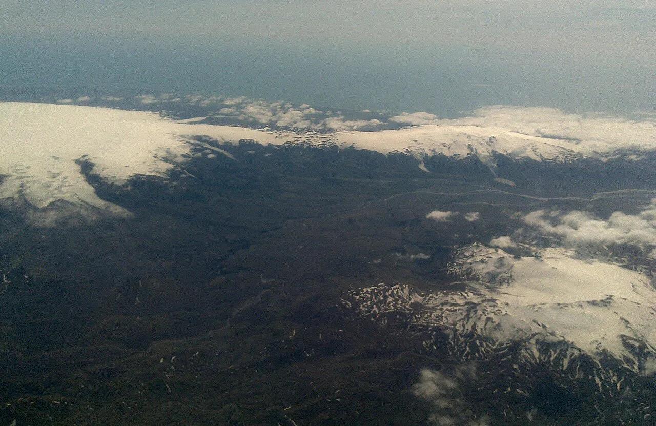
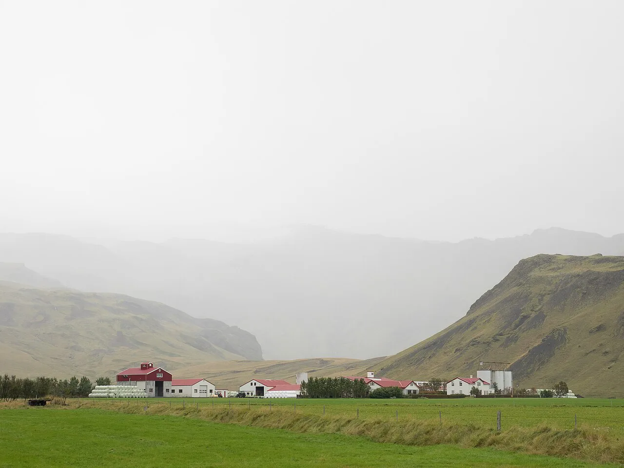
Eyjafjallajökull Erupts is the venue most travelers mean by the visitor center. It stands at Þorvaldseyri, a farm at the foot of the volcano that was covered in ash during 2010. Its own details are on the Eyjafjallajökull Erupts website. Another venue gets mixed up with it: the LAVA Centre in Hvolsvöllur, a separate volcano and earthquake exhibition. If you want background on the mountain first, start with our Eyjafjallajökull guide. Do not expect a summit viewpoint at the farm. The ice cap covers about 66 km² (25 sq mi), and reaching it means a guided trip such as the glacier and volcano tours we list.
Visitor Center vs LAVA Centre vs Skógar Museum: Which Stop Fits You
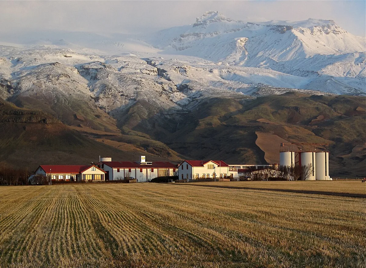
These three venues sit along the same stretch of the South Coast, but each covers a different subject. Pick by interest, not by name.
| Venue | Best for | Location | What it holds |
|---|---|---|---|
| Eyjafjallajökull Erupts (Þorvaldseyri) | The 2010 eruption from a farm that lived it | Route 1, near Seljalandsfoss | Film and exhibition on the eruption |
| LAVA Centre | Volcano and earthquake science across Iceland | Hvolsvöllur | Interactive exhibition with artifacts, films and graphics from eruptions of the past century |
| Skógar Museum | Regional history and folk culture | About 150 km (93 mi) east of Reykjavík, just off the Ring Road | More than 18,000 artifacts in three exhibition spaces; founded 1949 |
Opening Hours, Tickets and Costs
We cannot confirm current opening hours or ticket prices for Eyjafjallajökull Erupts. Check its official site before you drive.
Skógar is about 150 km (93 mi) from Reykjavík, so settle its hours and prices before you leave the capital.
How to Get There and How Long to Allow
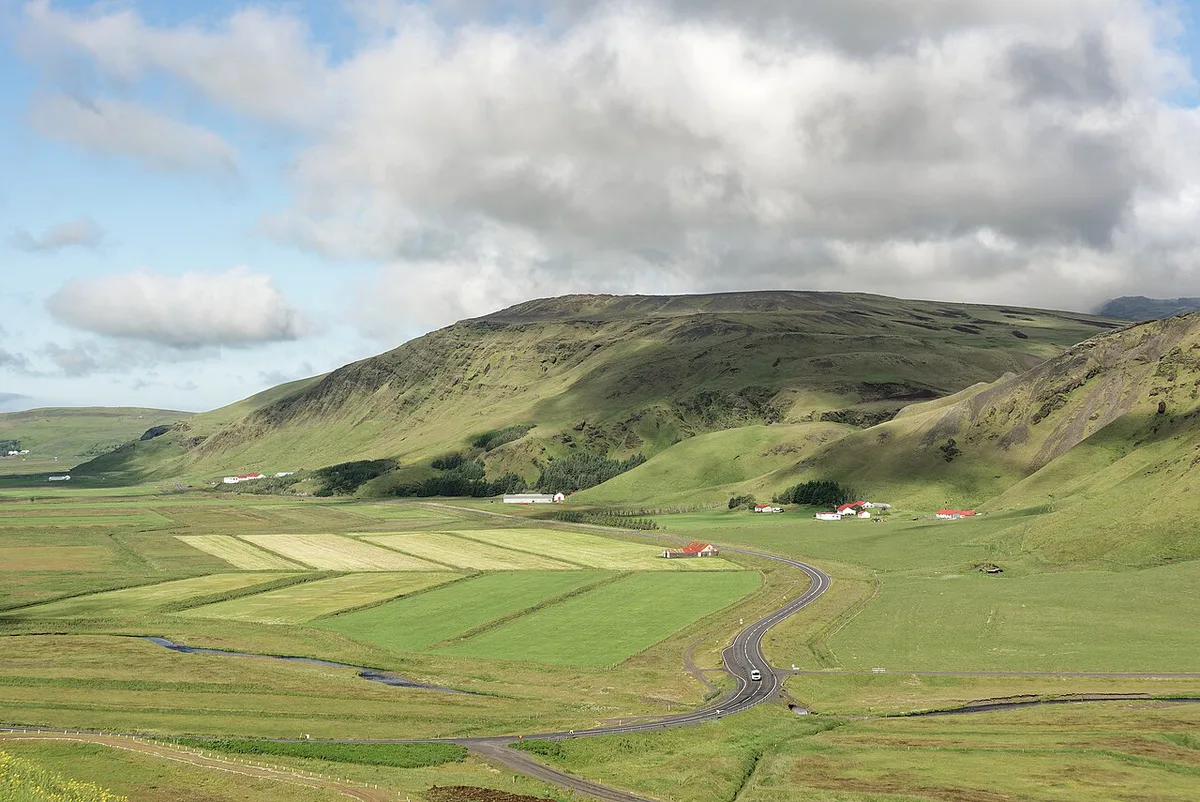
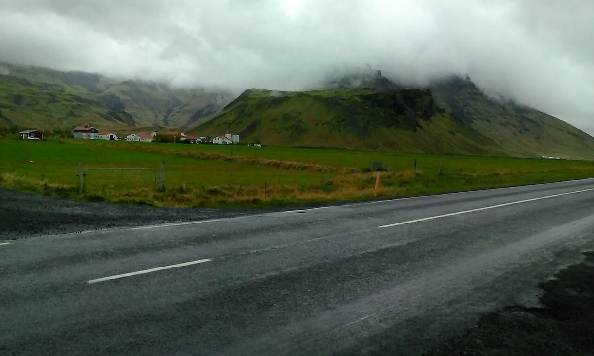
From Reykjavík, follow Route 1 east along the South Coast. Skógar lies about 150 km (93 mi) from the capital, so a round trip to the far end of this route fills most of a day. Turn onto Route 249 near Hvolsvöllur if you want closer views of the mountain and the road toward Þórsmörk. Our Eyjafjallajökull map shows how these stops line up. Two to three stops suit most day trips. Add more and the drive, not the sights, becomes the day.
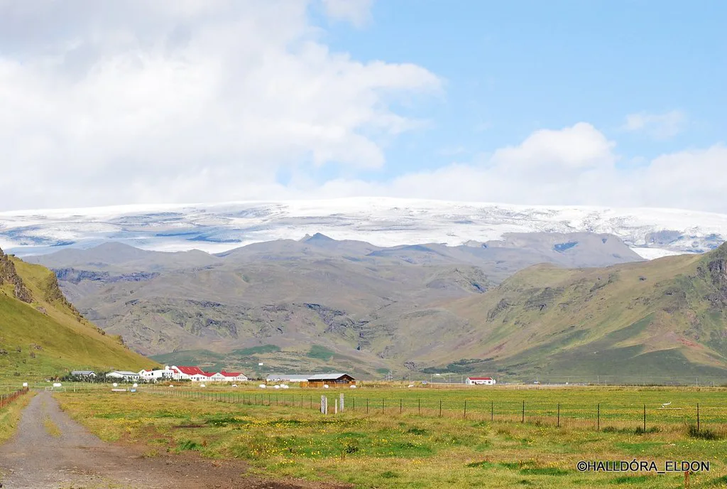
- Stop 1: Eyjafjallajökull Erupts at Þorvaldseyri for the film and exhibition.
- Stop 2: Seljalandsfoss, where a path lets you walk behind the falls.
- Stop 3: Skógafoss, which drops 60 m (197 ft), then Skógar Museum if you want local history.
- Rainy-day swap: replace the waterfalls with the LAVA Centre in Hvolsvöllur.
What You Learn: The 2010 Eruption and How Fire and Ice Shaped the Volcano
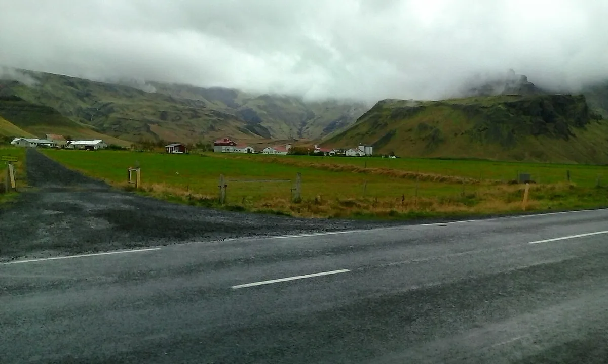
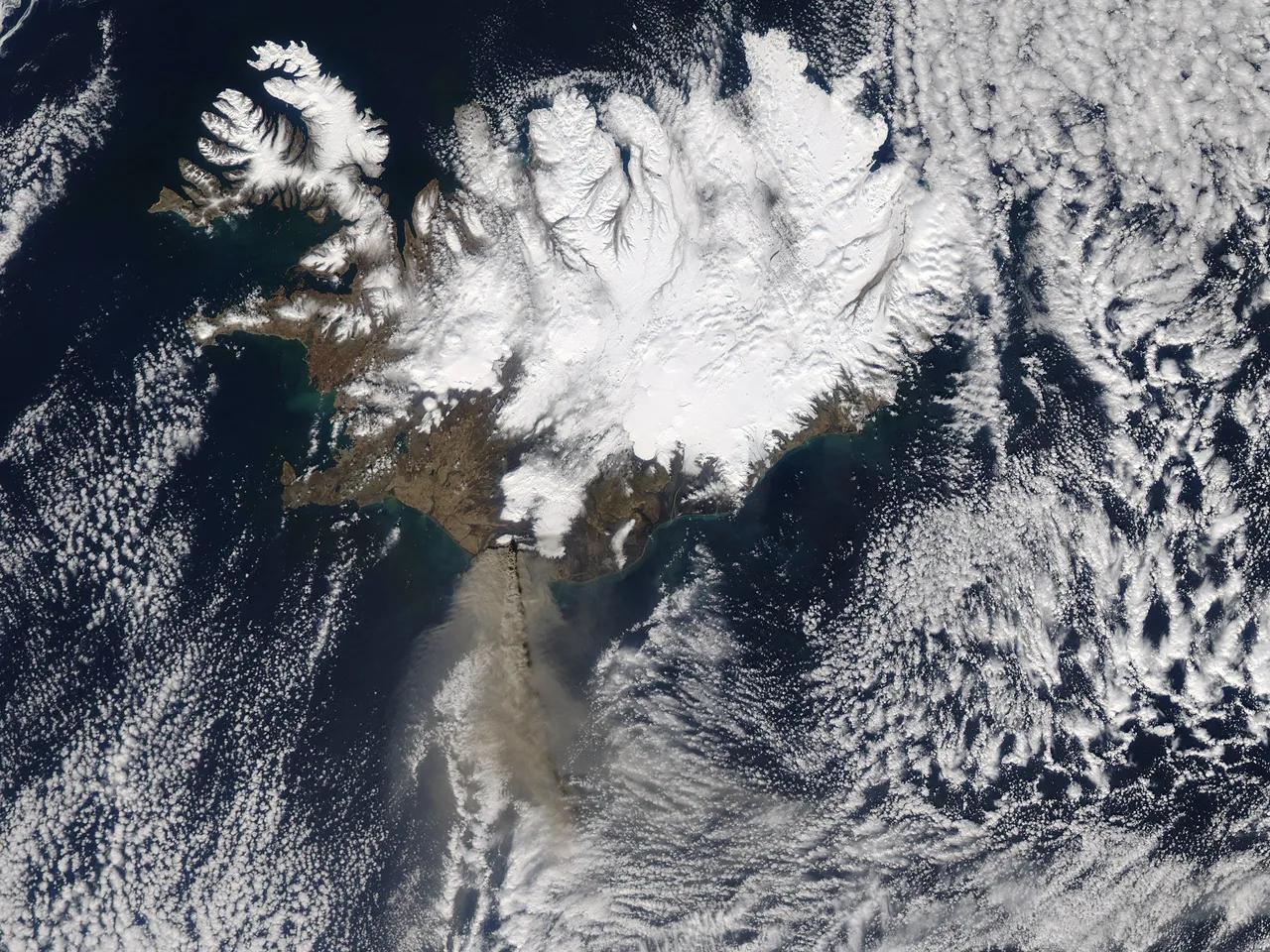
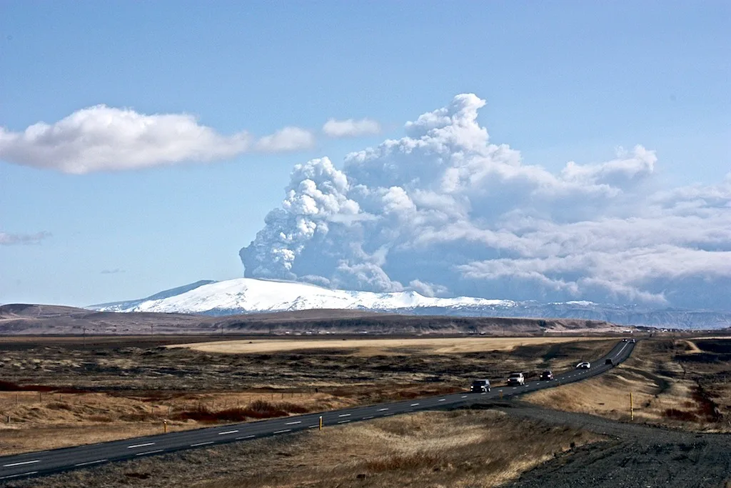
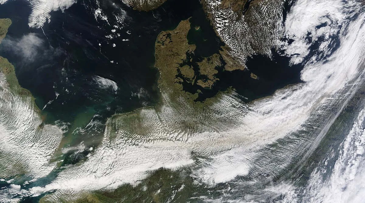
The 2010 activity began on 20 March at Fimmvörðuháls, the pass between Eyjafjallajökull and Mýrdalsjökull. Read about that fissure in our Fimmvörðuháls guide. A second eruption started on 14 April from the central crater under the ice cap. Meltwater floods forced about 800 people to evacuate. Ash drifted over Europe and grounded flights for days, and activity had ended by 23 May. Our 2010 eruption timeline has the full sequence. The mountain stands 1,651 m (5,427 ft) tall, and ice up to 200 m thick fills a caldera about 2.5 km wide. Our stratovolcano explainer covers how that structure formed. For live monitoring, use the Icelandic Met Office.
Best Things to Do Nearby
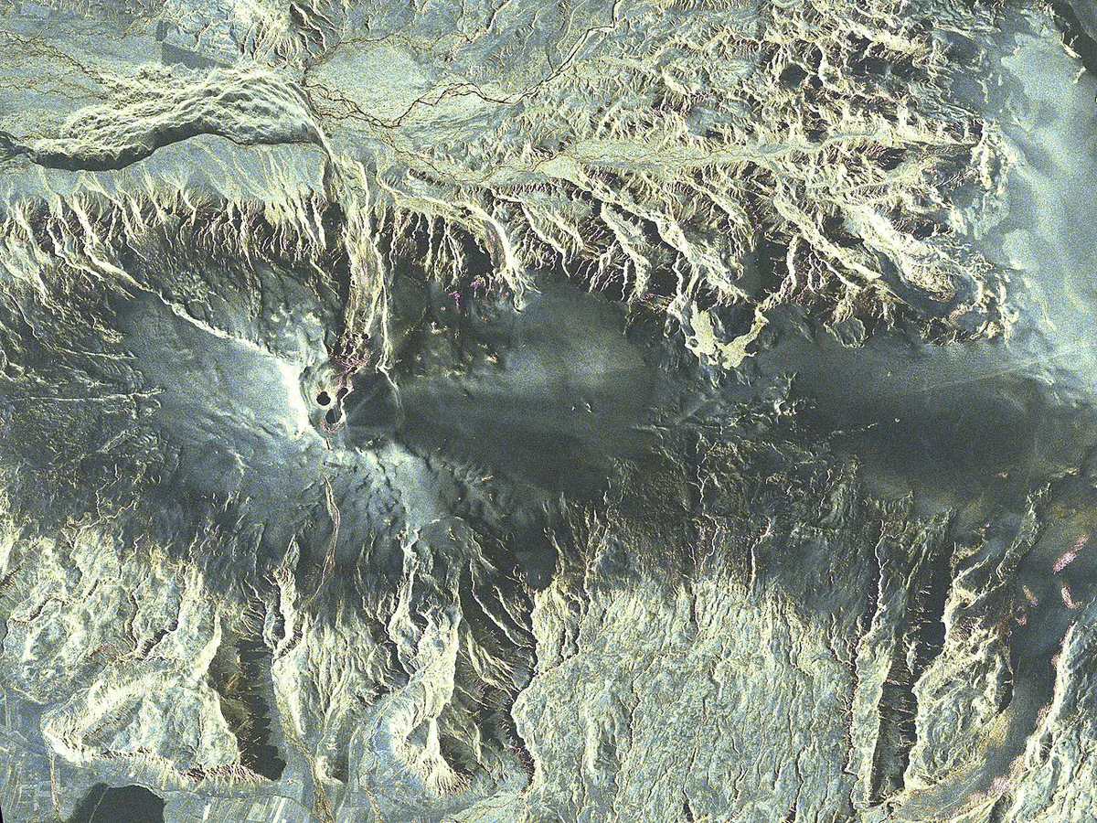
Most of the area's best stops sit within a short drive of Route 1. Visit South Iceland lists the places below as local favorites. Mýrdalsjökull, about 24 km (15 mi) away, covers the Katla volcano. Read our Katla guide for that neighbor, and see Sólheimajökull glacier for an easier ice walk.
Skógafoss drops 60 m (197 ft), and you climb stairs to reach its viewing platform at the top.
- Seljalandsfoss: walk-behind waterfall right beside the ring road.
- Skógafoss: stair climb to a viewing platform at the top.
- Þórsmörk: nature reserve reached via Route 249 and a guided trip.
- Gluggafoss, Kvernufoss and Rútshellir: quieter stops for a longer day.
- Skógar Museum: 18,000+ artifacts under one roof.
Tips by Season and Common Mistakes
Summer gives milder weather and safer hiking. Winter suits snowmobile trips and snow-covered views of the ice cap, but daylight is short. Check road and weather alerts at Safetravel Iceland before you leave Reykjavík.
- Confusing Eyjafjallajökull Erupts with the LAVA Centre, which is 'a different venue in a different town'.
- Assuming year-round hours, especially in winter.
- Overpacking the day with more than three stops.
- Driving toward the volcano expecting a summit viewpoint.
Frequently Asked Questions
Can you visit Eyjafjallajökull?
Yes. The volcano has been dormant since August 2010 and is monitored closely. Most visitors see it from Route 1 or join a guided glacier trip, and the activity status page explains the monitoring.
What does Eyjafjallajökull mean in English?
Sources render it slightly differently. One common reading is 'glacier of the mountains of the islands', a reference to the nearby Westman Islands. Another is 'Island Mountain Glacier'.
How many people died in the Eyjafjallajökull eruption in 2010?
No deaths were reported from the 2010 eruptions. About 800 people were evacuated in April because of flood risk, and the ash cloud grounded flights across Europe.