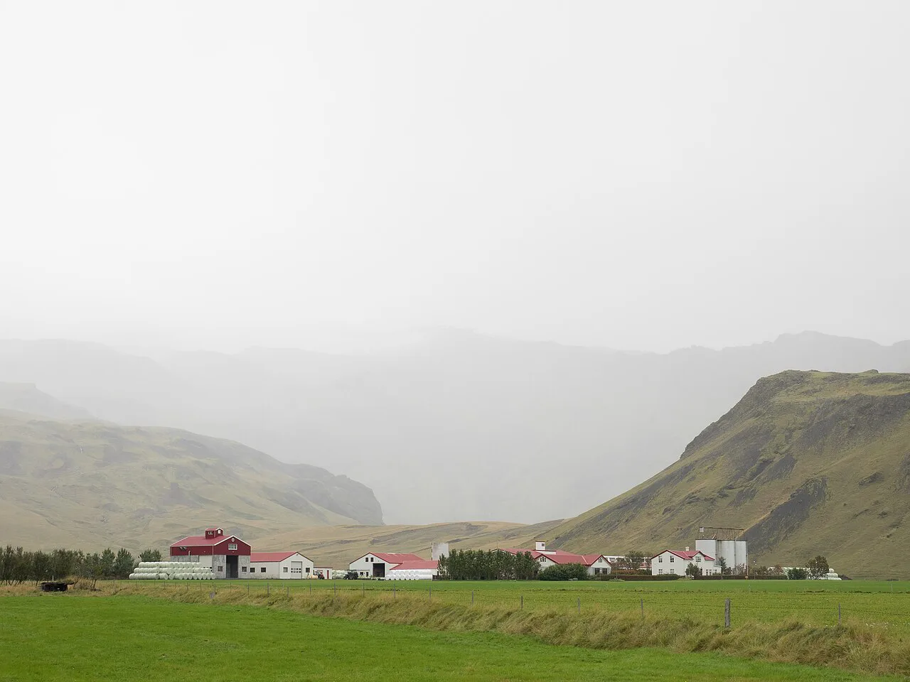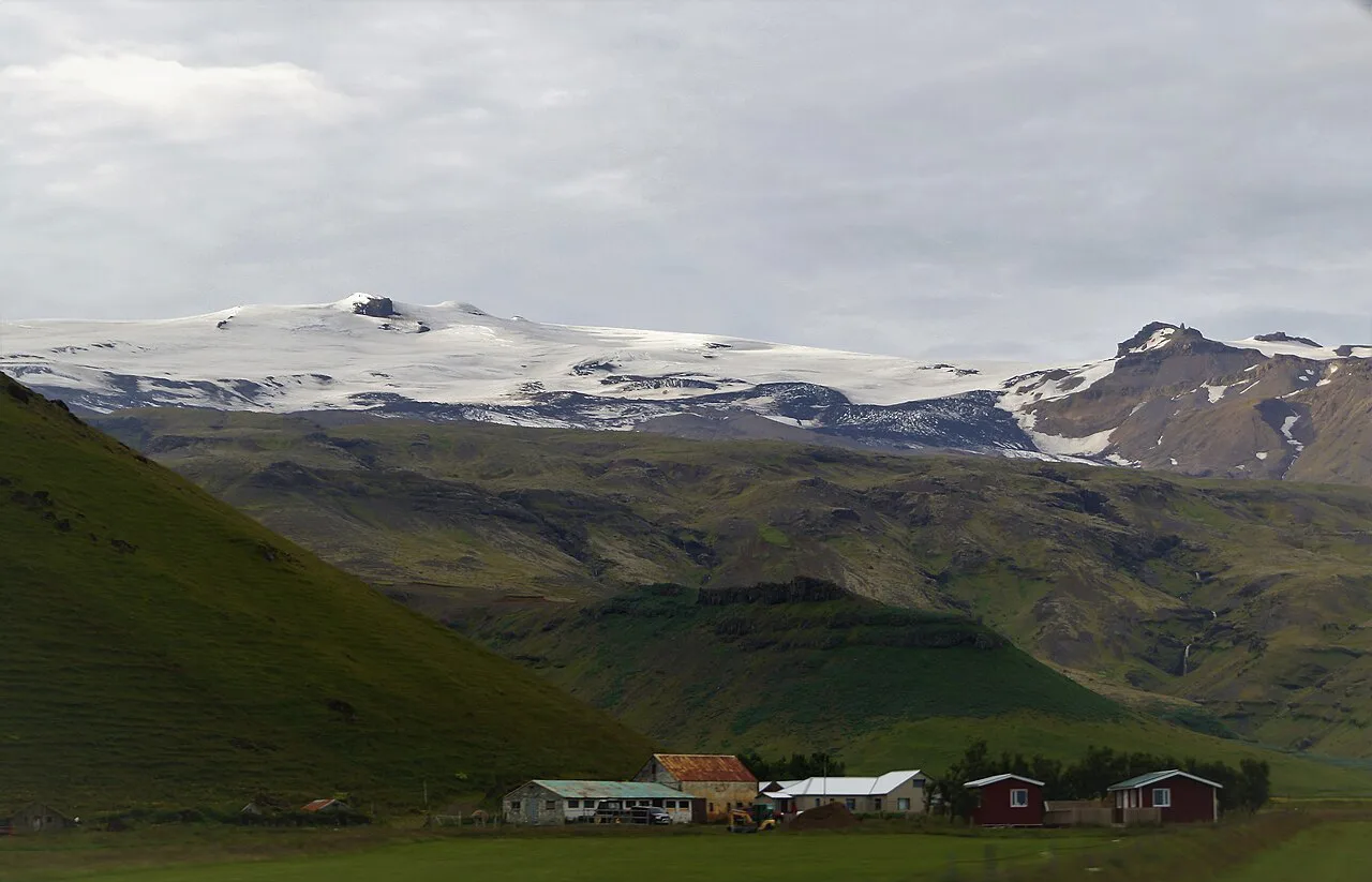
What Type of Volcano Is Eyjafjallajökull? Stratovolcano Explained
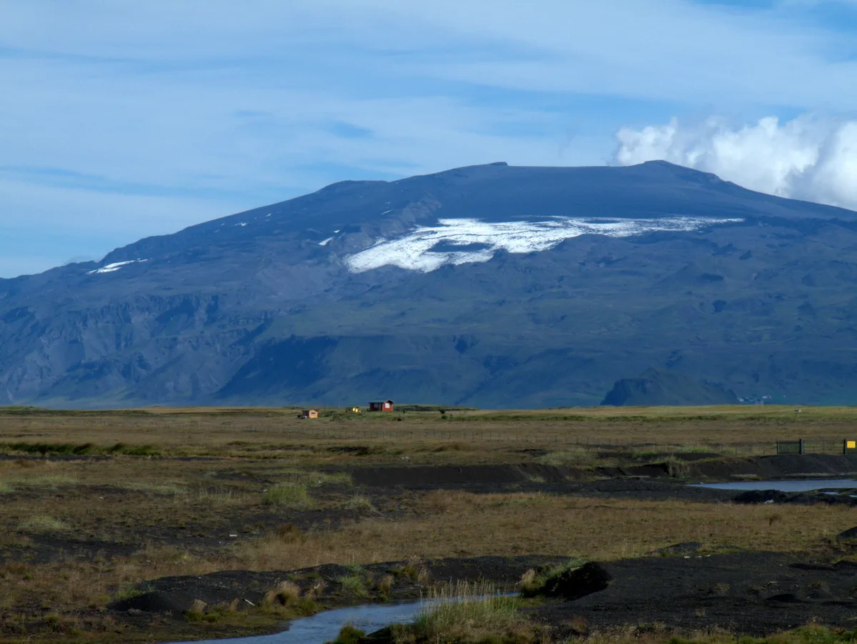
Last updated November 2026. If you are asking what type of volcano is Eyjafjallajokull, the short answer is a stratovolcano under an ice cap in South Iceland. Below you will find what that label means, why the glacier matters, and how to see the mountain safely.
Featured image: Alexander Grebenkov, CC BY 3.0, via Wikimedia Commons.
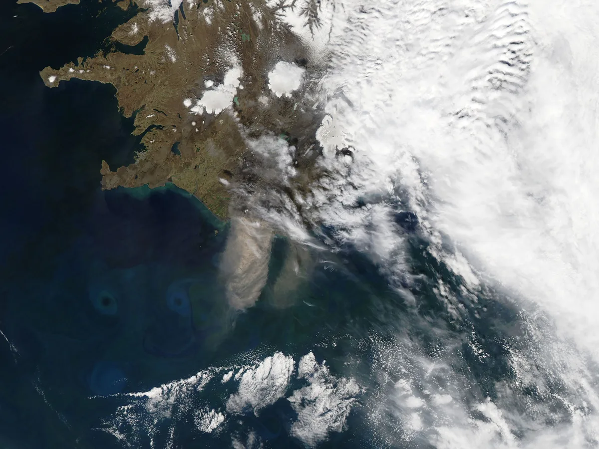
Short answer: what type of volcano is Eyjafjallajökull?
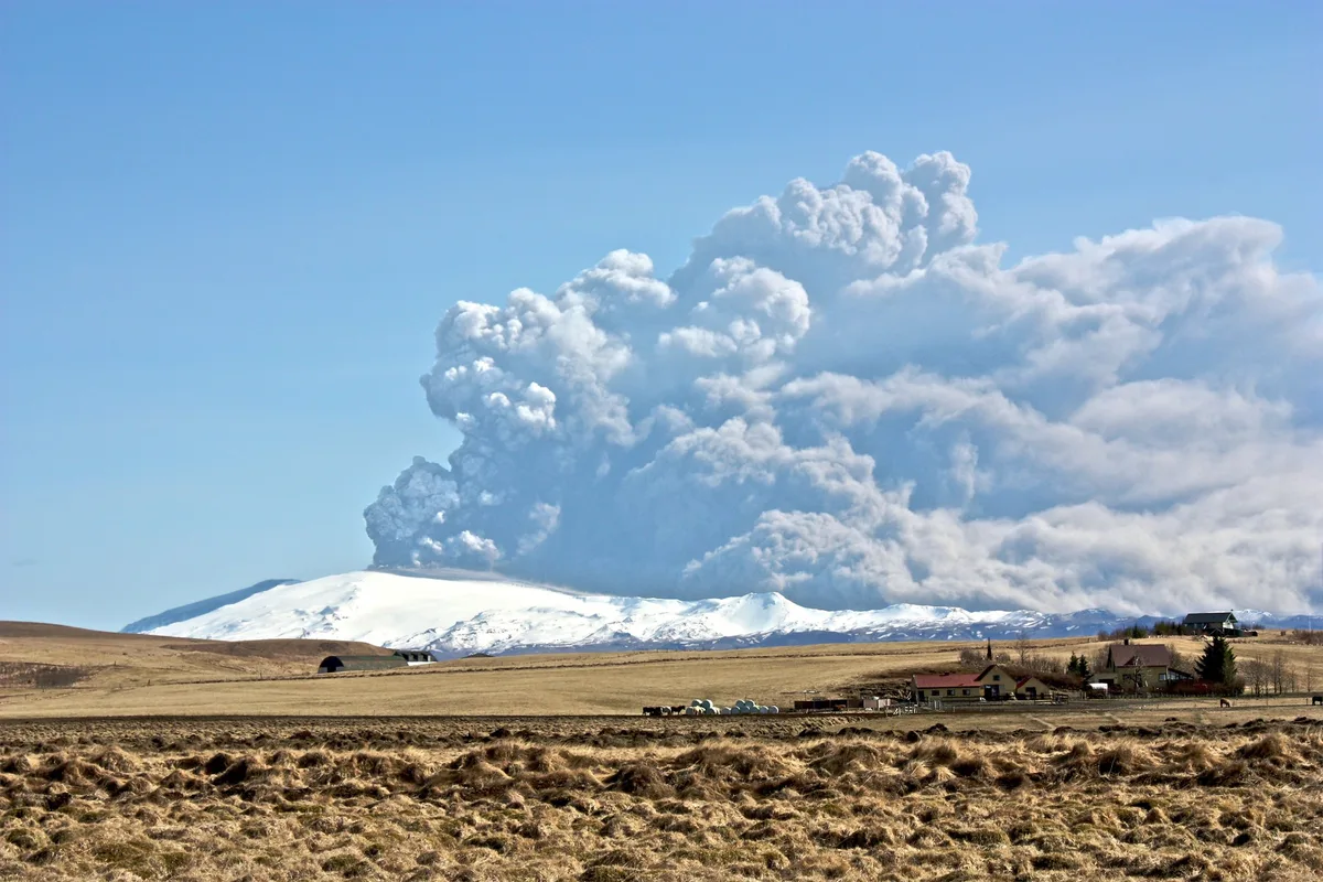
Eyjafjallajökull is a stratovolcano, also called a composite volcano. It is built from alternating layers of lava and ash, and a glacier covers its summit. It sits in South Iceland near Mýrdalsjökull and Skógar. Our Eyjafjallajökull overview covers the wider area.
What "stratovolcano" means
A stratovolcano grows over many eruptions. Each one adds a layer of lava, ash or both. The result is a steep, cone-like mountain rather than a broad, gentle one. Magma in these volcanoes tends to be stickier, so eruptions can be explosive. Iceland also has other volcano types, and the table shows how they differ.
| Type | Shape | Icelandic context |
|---|---|---|
| Stratovolcano | Steep, layered cone | Eyjafjallajökull is the example in this guide |
| Shield volcano | Broad, gently sloping dome built from fluid lava | Common in Iceland's lava fields |
| Fissure eruption | Long crack that erupts along its length | Typical of several Icelandic volcanic systems |
Why the ice cap changes the eruption style
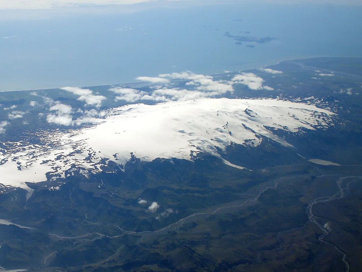
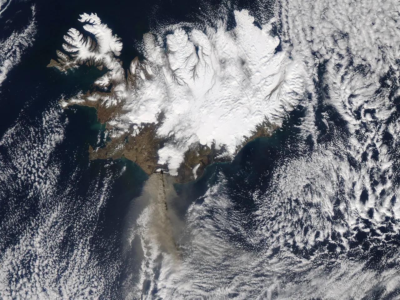
Type describes the mountain's structure. Eruption style describes what it does. Eyjafjallajökull's ice cap means rising magma can meet meltwater and ice. That contact fragments the magma into fine ash. Fine ash can travel far on the wind, which is why the Icelandic Met Office tracks ash from ice-covered volcanoes closely. Glacier meltwater can also send floods down nearby rivers, so local authorities treat the slopes as a hazard zone.
Eyjafjallajökull vs Katla and Hekla
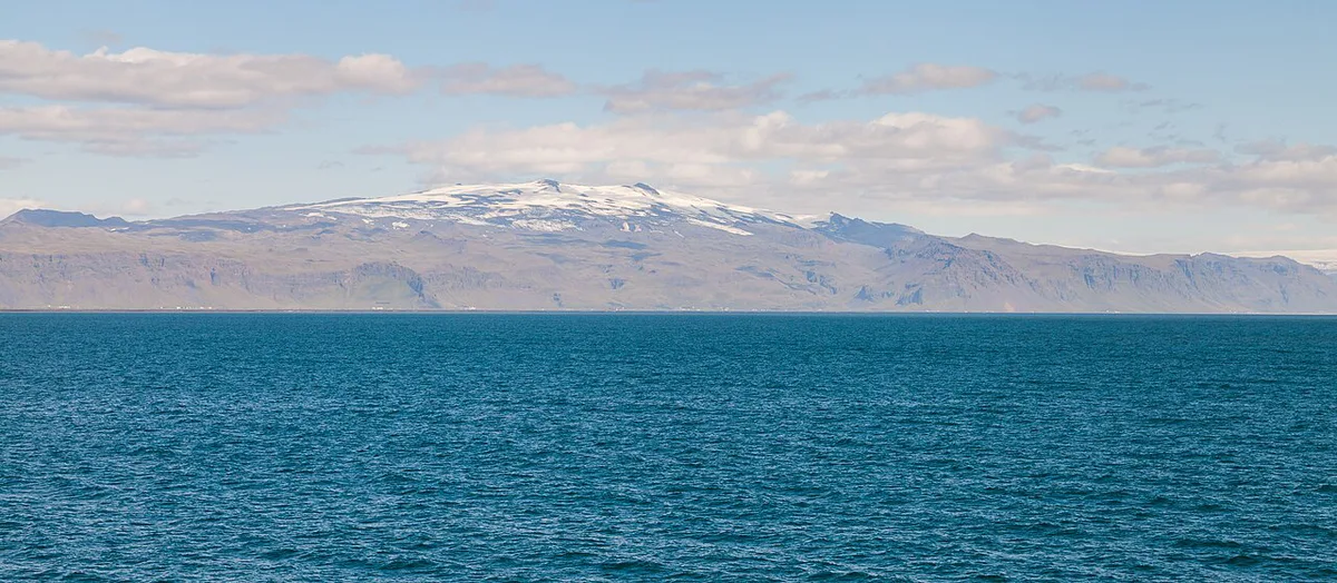
Readers often mix up these three. They are separate volcanoes with different build and behavior. Katla lies under Mýrdalsjökull glacier, next to Eyjafjallajökull. Our Katla guide explains its caldera setting. For the ridge-shaped Hekla, see our Hekla profile. Do not assume one volcano triggers another. The Met Office monitors each separately.
| Volcano | Setting | Best next read |
|---|---|---|
| Eyjafjallajökull | Ice-capped stratovolcano near Skógar | Eyjafjallajökull facts |
| Katla | Under Mýrdalsjökull glacier | Katla eruption guide |
| Hekla | Ridge-shaped volcano in the Icelandic interior | Hekla eruption history |
The 2010 eruption in brief
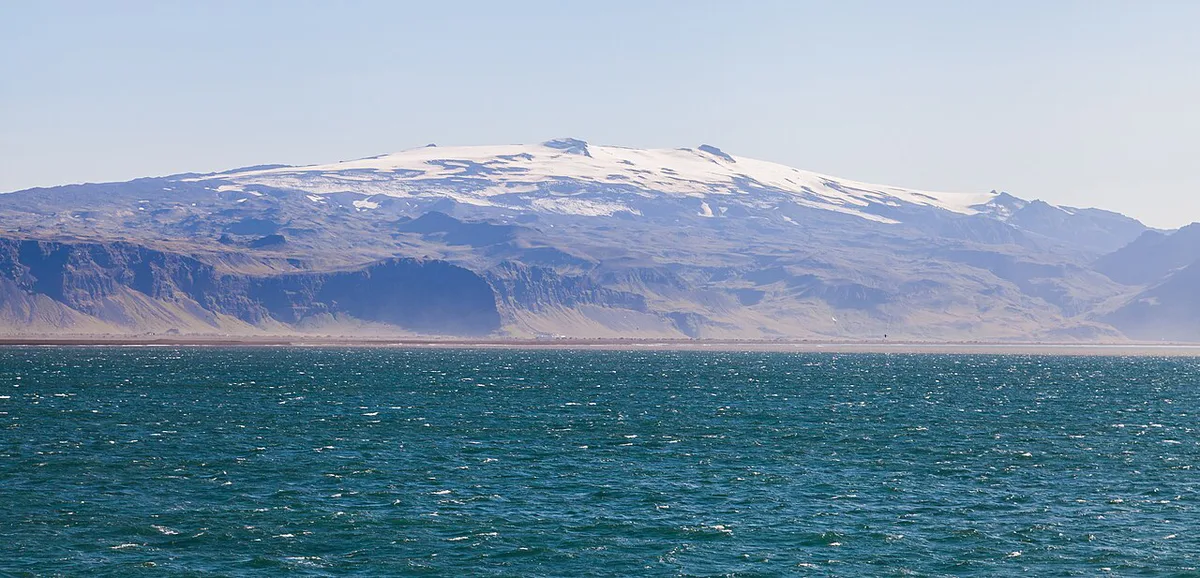
Eyjafjallajökull erupted twice in 2010. A flank eruption began in March at Fimmvörðuháls. A second, explosive eruption at the summit began in April. The April ash cloud disrupted air travel across Europe, as Eurocontrol documents. Read the full timeline in our 2010 eruption guide. For the pass where the first phase happened, see our Fimmvörðuháls hiking guide.
How to see the volcano today
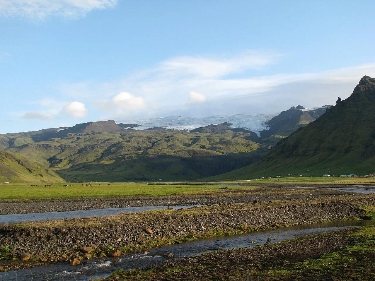
You can see the ice cap from the Ring Road near Skógar without leaving your car. For more detail, the options below range from a short stop to a guided day. Check Safetravel Iceland for current conditions before any hike. Prices and hours change, so check each operator's own site. Our activity status page explains the current monitoring picture.
| Option | Effort | Season and access | Who should skip it |
|---|---|---|---|
| Roadside view near Skógar | Very low | Depends on cloud cover | Anyone wanting close-up views |
| Visitor centre | Low | Check the official site | Travelers short on time |
| Guided glacier or volcano tour | Moderate to high | Check the operator | Anyone without sturdy footwear |
| Fimmvörðuháls hike | High | Summer access; check conditions | Beginners and solo hikers in poor weather |
| Lava Centre exhibition | Low | Indoor; check hours | Those who want outdoor views |
Mistakes to avoid
Avoid these common errors when planning a visit.
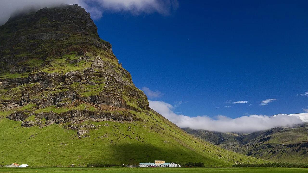
A summit that reaches about 1,666 metres above sea level can be hidden by cloud, so check conditions before counting on the view.
- Relying on a blog for volcano status. Use the Icelandic Met Office instead.
- Entering closed or restricted areas near the ice cap.
- Ignoring weather and road advisories on Safetravel Iceland.
- Hiking glaciers without a guide or proper gear.
How high is Eyjafjallajökull and how large is its ice cap?
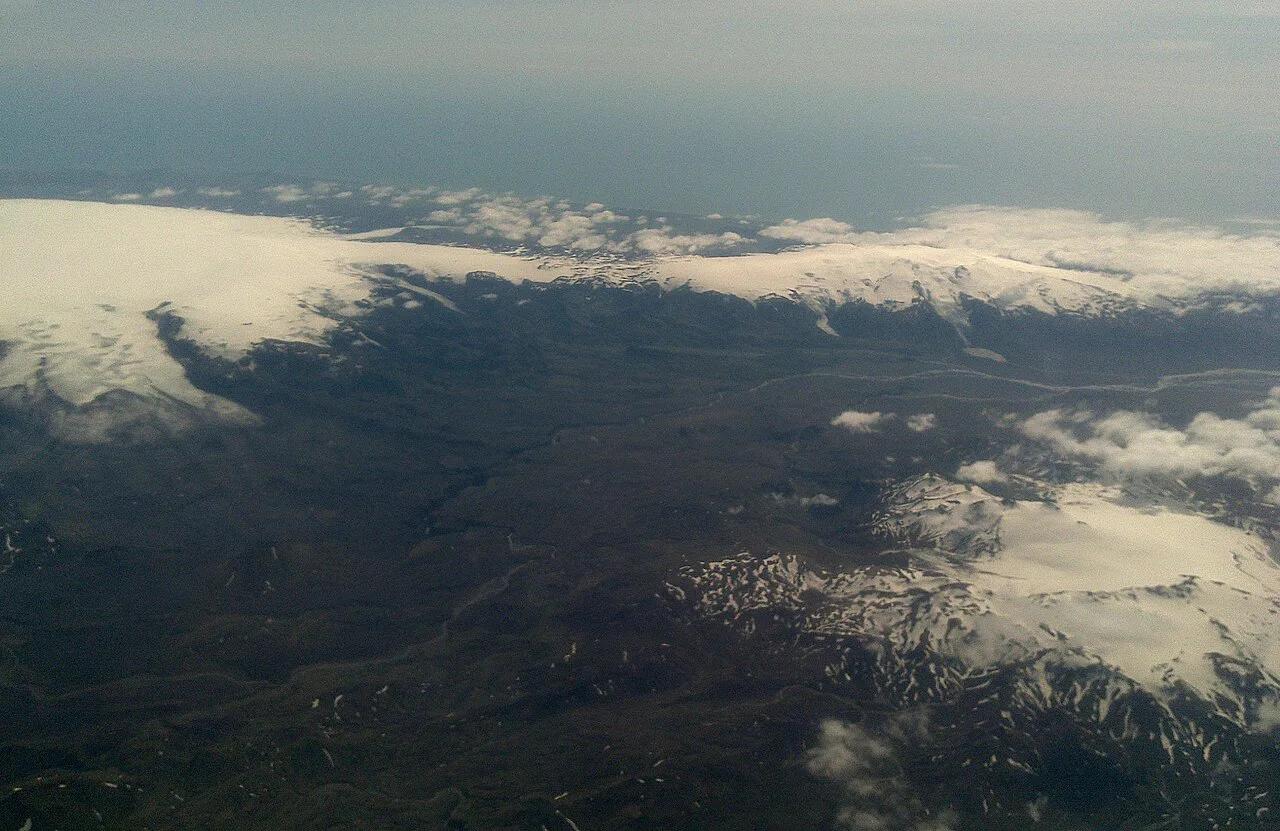
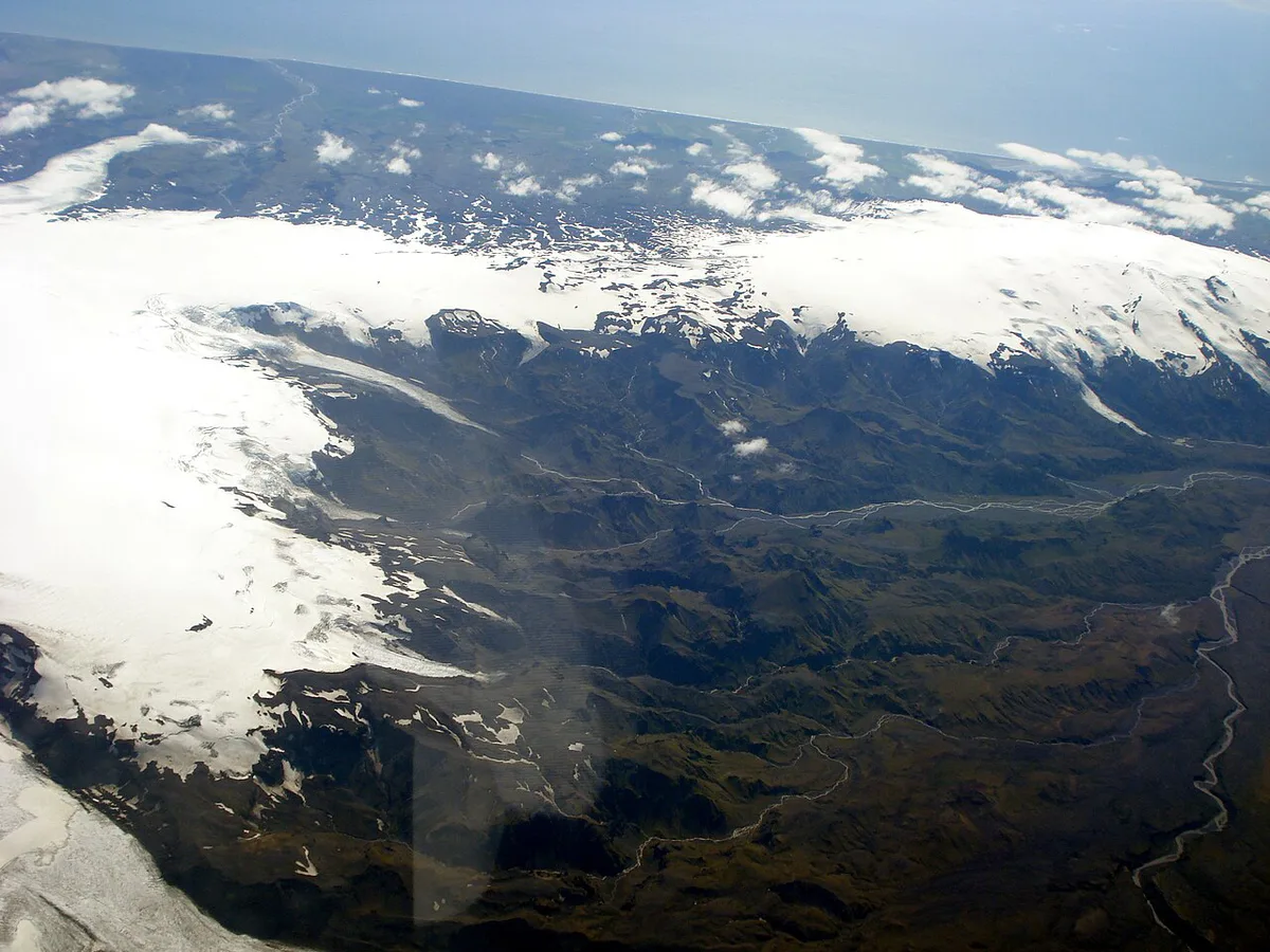
Eyjafjallajökull reaches about 1,666 metres above sea level. Its summit is covered by an ice cap of roughly 100 km², which gives the mountain its glacier-covered appearance from the South Coast.
The ice is more than a scenic feature. It affects how an eruption can unfold, because magma may meet meltwater beneath the cap. That interaction can produce fine ash and hazardous meltwater floods.
For visitors, the height and ice cover are reasons to treat the mountain as a landscape to view rather than a casual summit walk. The clearest roadside perspectives are usually around Skógar, but cloud can hide the upper slopes completely. Check weather, road, and official safety notices before choosing a hike or glacier activity.
Frequently Asked Questions
How did the Eyjafjallajökull volcano erupt?
In 2010 it erupted in two phases. A flank eruption at Fimmvörðuháls began in March. An explosive summit eruption through the ice cap followed in April and produced the ash cloud. See our eruption timeline for details.
What would happen if Katla erupted?
Nobody can say precisely. Katla sits under glacier ice, so an eruption could cause meltwater floods and ash. The Icelandic Met Office monitors it and issues official warnings.