
Landmannalaugar Travel Guide: Access, Hikes, Parking Rules
Last updated November 2026: Landmannalaugar is a geothermal valley of colored rhyolite mountains in the Fjallabak Nature Reserve, in Iceland's southern Highlands. Reaching it takes a 4x4 on F-roads, a Highland bus, or a guided jeep tour, and summer parking needs a reservation. This guide picks the right access method, explains the road and parking rules, and builds hikes and stays around the short summer season.
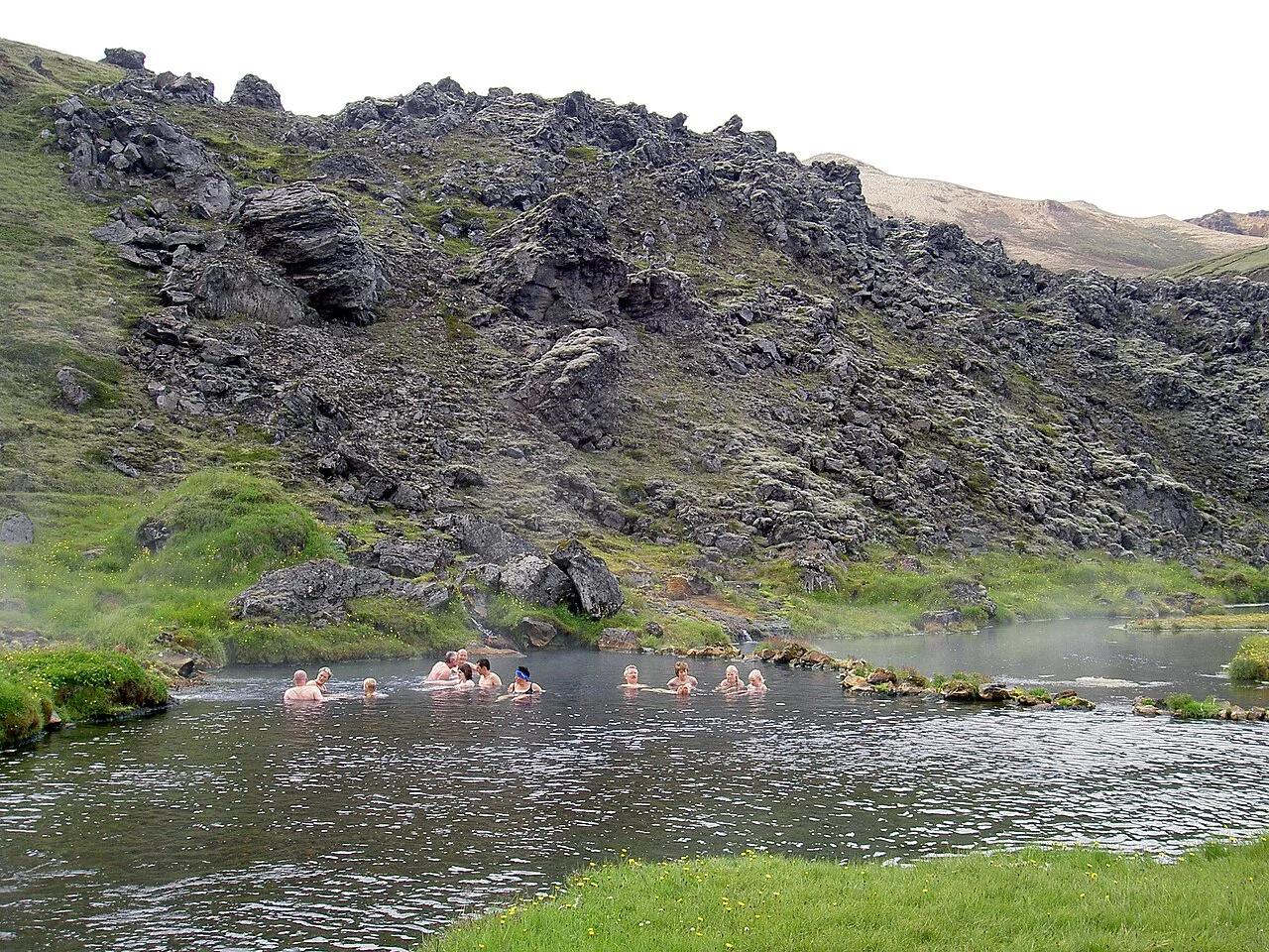
Featured image: User:Chris 73, CC BY-SA 3.0, via Wikimedia Commons.
Landmannalaugar at a Glance
Landmannalaugar sits at the edge of the Laugahraun lava field, about 550 m (1,800 ft) above sea level. Reykjavik lies roughly 187 km (116 miles) to the west. Ferðafélag Íslands, the Iceland Touring Association, built its first hut here in 1951. The surrounding Fjallabak reserve was protected in 1979. The name means "the people's pools", and a rough pronunciation is LANT-man-na-LOY-gar. Access decides everything else, because the roads are open only in summer.
- Location: Fjallabak Nature Reserve, southern Highlands, Iceland
- Access: 4x4 via F208 or F225, Highland bus, or guided super jeep
- Usual road season: about June 20 to September 15, set by the road authority
- Known for: rhyolite mountains, Laugahraun lava field, free natural hot spring
- Facilities: FÍ hut with 78 beds, campsite, toilet and shower house, summer wardens
- Laugavegur trail: 54 km, about 4 days, runs south to Þórsmörk
Is Landmannalaugar Worth Visiting?
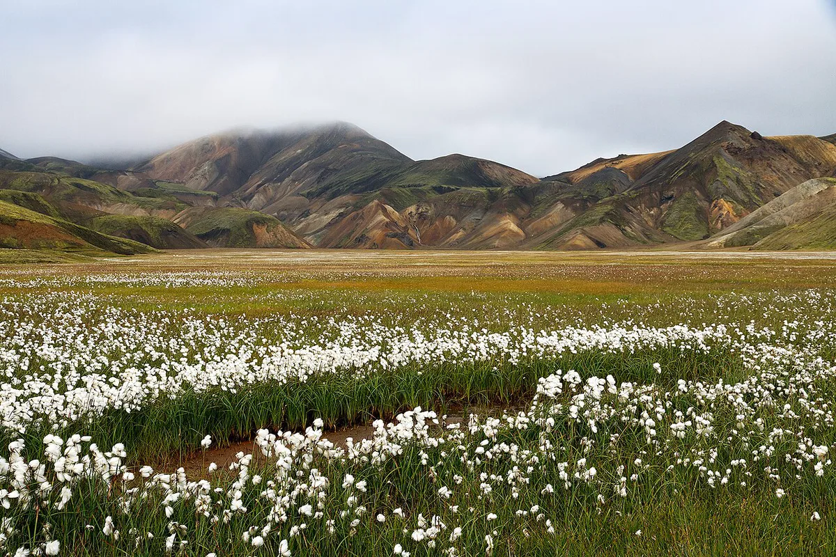
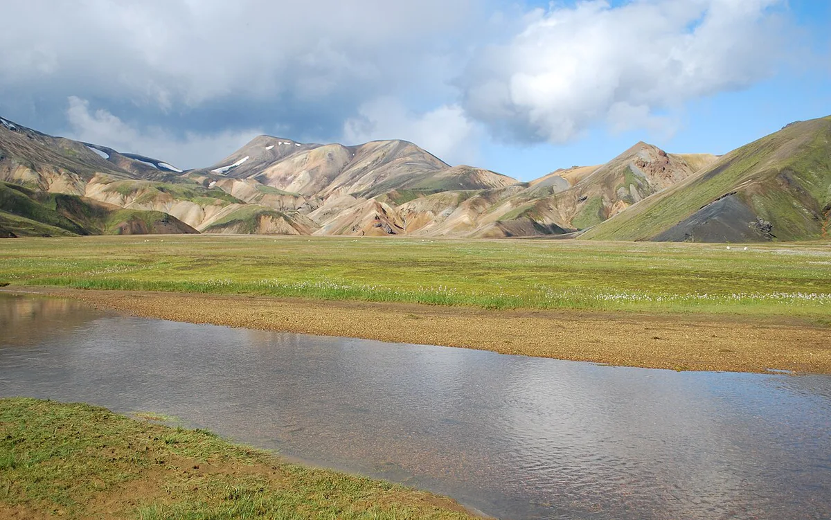
Yes, if you want color, steam vents, and a hot soak in one valley. Red, yellow, green, and blue slopes rise beside black lava. A short walk shows most of this. The Laugahraun loop is about 3 km (2 miles) and takes 1 to 1.5 hours. Day trippers pay for it in driving time, since Reykjavik is 3 to 6 hours each way. Fog and heavy rain can flatten the colors. Skip it if you only have a few spare hours or a 2WD rental.
- Fits: hikers with a full day, drivers with F-road experience, anyone who wants a soak after a walk
- Skip: travelers with a 2WD car, short itineraries, or a plan to visit outside the summer road season
How to Get to Landmannalaugar
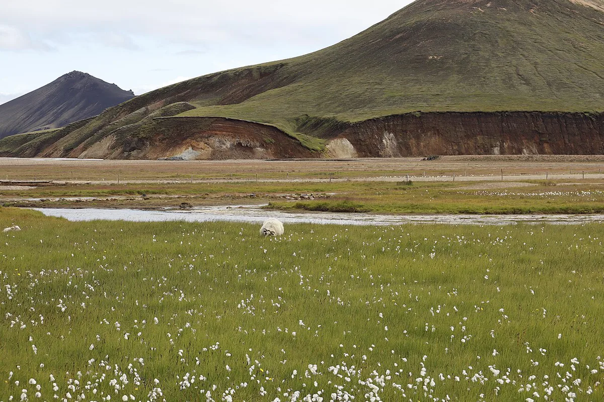
Three drivable routes lead in, and each needs a 4x4. F208 north is the easiest, at about 180 km (112 miles) and 4 hours from Reykjavik. F225 (Landmannaleið) is about 185 km (115 miles) and 4.5 hours. It passes close to Hekla volcano and has medium-depth river crossings. F208 south is about 250 km (155 miles) and 5 to 6 hours. Its deep crossings suit experienced drivers only. Whichever you choose, the last 2.5 km (1.6 miles) run on F224, with two river crossings just before the campsite. Smaller 4x4s and nervous drivers can park at P1 by Námskvísl and walk about 10 minutes over the footbridge. Fuel up first, since Hrauneyjar is the last reliable stop and the nearest station sits about 35 km away on Road 26. A Highland bus runs in summer, usually mid-June to early September, and takes about 4 to 5 hours from Reykjavik. A 2WD car may breach your rental agreement on F-roads, so read the contract and insurance terms for river crossings. In winter, a standard rental 4x4 cannot make the trip. Only specially equipped super jeeps or snowmobiles can, and Ferðafélag Íslands warns that driving off snow in early and late winter is forbidden to protect the vegetation.
| Option | Cost level | Skill needed | Flexibility | Time on site | Best for |
|---|---|---|---|---|---|
| Self-drive 4x4 | Medium to high (rental plus fuel plus parking fee) | F-road and river-crossing experience | Highest | Set by you, but 6 to 12 hours of driving for a day trip | Confident drivers, overnight stays |
| Highland bus | Medium | None | Fixed timetable | Set by the schedule; check the return time | Hikers starting Laugavegur, non-drivers |
| Guided super jeep or hike tour | Highest per day | None | Low | About 3 to 5 hours on a long day | First visit, no 4x4, no route planning |
| Multi-day trek | Highest overall | Fitness and gear | Fixed itinerary | Several days | Walkers doing Laugavegur |
Parking Reservations, Season and Road Rules
Private and rental cars arriving between 9 AM and 4 PM must reserve a space before arrival, according to the hut operator's 2026 notice. Bookings go through the Parka website or app, and on-site staff cannot take them. Fees listed as of June 2026 start at 1,500 ISK for cars with up to five seats and 2,450 ISK for six to nine seats. Reported capacity is about 140 spaces a day, and they often sell out in summer. If bad weather cancels your plan, a reservation stays valid for two more days. Arriving outside the 9 AM to 4 PM window needs no reservation, but the fee still applies. Parking dates vary by source, so read the Nature Conservation Agency of Iceland page before you book. F-roads open on average from June 20 to September 15. Iceland's road authority decides the exact dates after checking snow and road damage.
- Check F208 and F225 status on the Icelandic Road and Coastal Administration site on the day
- Do not drive on snow-free ground in early or late winter
- Bring a printed or saved reservation with your plate number added
- Toilets and changing facilities are covered by the day-visitor parking fee
Best Time to Visit Landmannalaugar
June to early September is the practical window, when F-roads and trails are open. Summer temperatures average about 11°C (52°F), often with wind and rain. May can still hold snow that blocks paths. Huts close by October. Winter lows can fall to -20°C (-4°F), with heavy snow. July and August bring the most buses and parking sell-outs. Early morning and late evening are quieter, and they fall outside the 9 AM to 4 PM parking window. Late June can mean lingering snow on higher trails, so check conditions on the day.
Only about 140 spaces a day exist, so July and August, the busiest bus months, are when booking early matters most.
Best Hikes by Time and Fitness
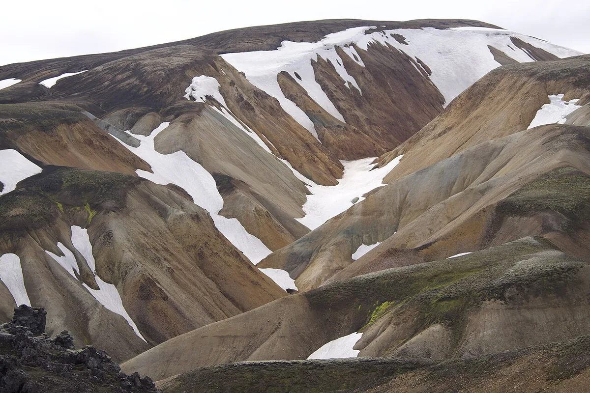
Most trails start at the campsite by the information center. The classic one-day combination links Grænagil, Laugahraun, and Brennisteinsalda, then adds Bláhnúkur if energy allows. Finish with a soak. Longer unmarked routes, such as Halldórsgil at about 19 km, suit guided or experienced groups only. Laugavegur starts here and runs 54 km south to Þórsmörk. Hikers can extend it by roughly 27 km (17 miles) on the Fimmvörðuháls route to Skógafoss. That pass runs between the Eyjafjallajökull glacier and Mýrdalsjökull.
Stack the Laugahraun loop's 1 to 1.5 hours with Brennisteinsalda's 2 to 3 hours and the whole route lands near the 3 to 4 hours of the sample itinerary.
| Hike | Distance | Time | Level | Notes |
|---|---|---|---|---|
| Laugahraun lava field loop | 3 km (2 miles) | 1 to 1.5 hours | Easy | Lava textures, hot spring access |
| Brennisteinsalda loop | 6.5 km (4 miles) | 2 to 3 hours | Moderate | 855 m peak, steam vents, red and yellow slopes |
| Bláhnúkur (Blue Peak) | 5 km (3 miles) round trip | 2 to 3 hours | Moderate, steep | About 350 m (1,148 ft) ascent to 943 m (3,094 ft) |
| Ljótipollur crater lake | Varies | About 4 hours | Moderate | Crater lake known as the Ugly Puddle |
| Laugavegur | 54 km (34 miles) | About 4 days | Challenging | Hut to hut to Þórsmörk |
Landmannalaugar Hot Springs
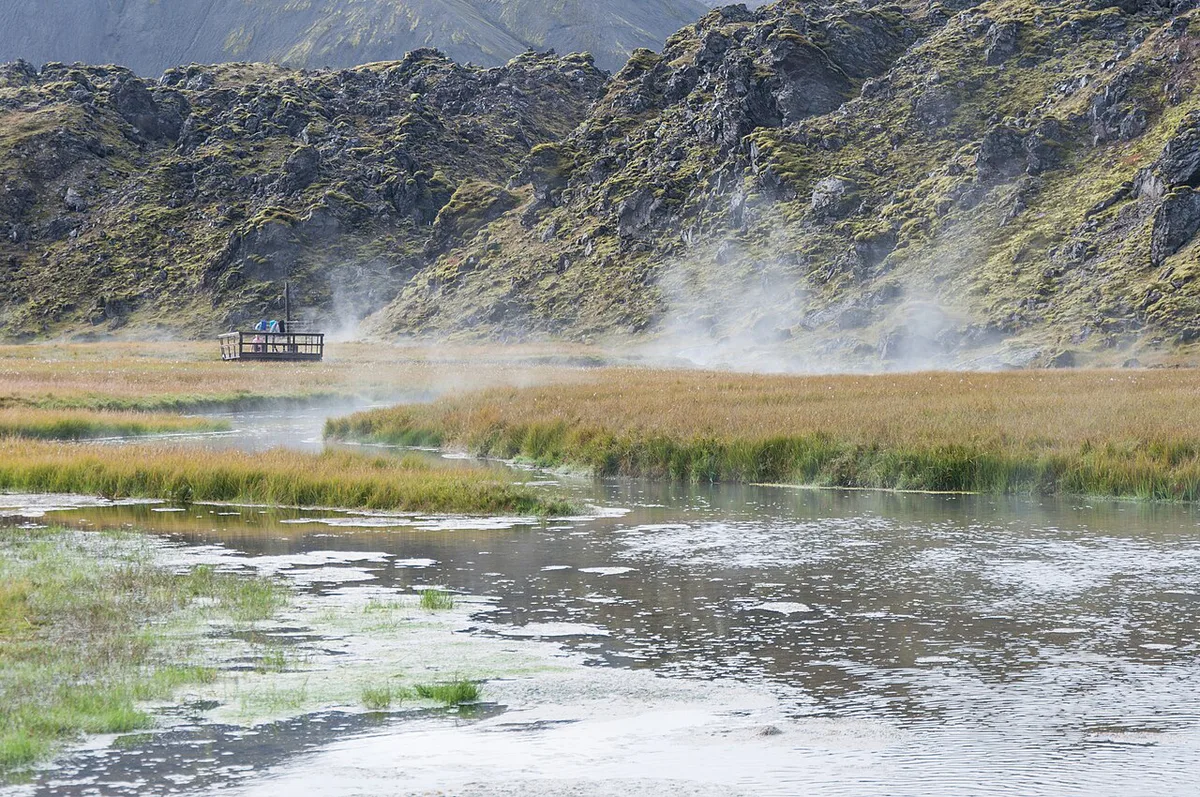
Hot water from underground vents mixes with cold mountain streams in a brook beside Laugahraun. Temperatures hover around 36 to 40°C (96 to 104°F). Bathing is free, and the pool fits roughly 10 to 20 people. A wooden path crosses the boggy banks, so stay on it. Soap, litter, and glass containers are strictly forbidden in the brook. Rinse before you get in, bring sandals for the slippery algae bottom, and change in the hut. A soak after the hike is warmer and quieter than a crowded midday dip. Edges near the lava can run hotter, so test the water first.
Why the Mountains Are Colorful
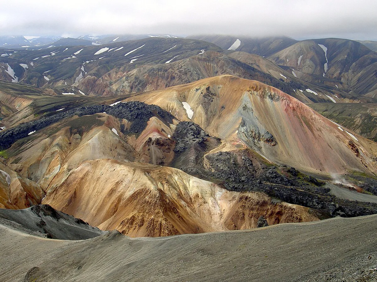
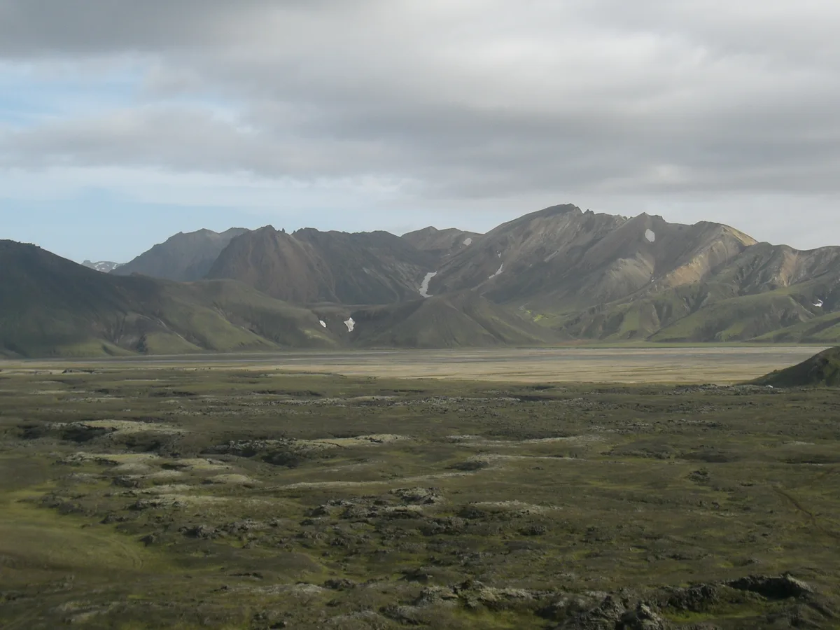
The slopes are rhyolite, a silica-rich volcanic rock formed from thick, slow-cooling magma. Iron, sulfur, and other minerals oxidized over time. They left reds, yellows, greens, and blues. Wind, rain, and snowmelt exposed the layers. Laugahraun, the black lava field beside the campsite, formed around 1477 in the Torfajökull volcanic system. Brennisteinsalda still steams and bubbles with mud pools. Ljótipollur is a crater lake with mineral-rich blue water. Hekla lies about 54 km away. Read Hekla's eruption history for the nearby volcano. For wider volcanic context across South Iceland, see the geopark covering Katla's landscapes.
Where to Stay: Hut, Camping, Camper Van and Nearby Lodges
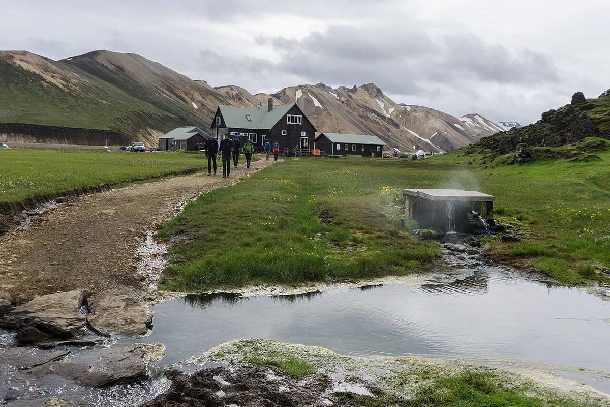
The Ferðafélag Íslands hut sleeps 78 across two floors. A bed costs 17,000 ISK, and you book through the operator. Summer wardens live on site. Camping costs 3,400 ISK per adult, and showers add 1,100 ISK, as of June 2026. The ground is hard gravel, so tent pegs are difficult. Wind means you will need rocks, which you should return to the wooden crates. A 4x4 camper van is another option. Lodges sit outside the area. Hrauneyjar Highland Center is on Road 26, about 35 km away. Hrifunes INN near Vík is about 75 km away. Book huts and camping first in peak summer.
Safety, Weather and Responsible Travel
Weather and fog can change in minutes, rivers run cold with shifting levels, and some trails are poorly marked. Check the Icelandic Met Office forecast before you set out. Register your plans and read alerts on Safetravel Iceland. Mobile coverage is patchy, so carry an offline map.
- Turn back if fog hides the trail markers
- Turn back if rain has raised a river you must wade
- Turn back if wind makes the ridge unsafe
- Turn back if road or weather alerts change after you set out
- Turn back if daylight or energy is running short
What to Pack
Pack for wind, rain, and a 10-degree swing between valley and ridge. Add the items below.
- Waterproof shell, warm layers, and hiking boots with ankle support
- Swimsuit, towel, and sandals for the hot spring
- Water bottle, snacks, and a daypack
- Offline map or GPS and a first-aid kit
- Sunscreen, sunglasses, and trekking poles
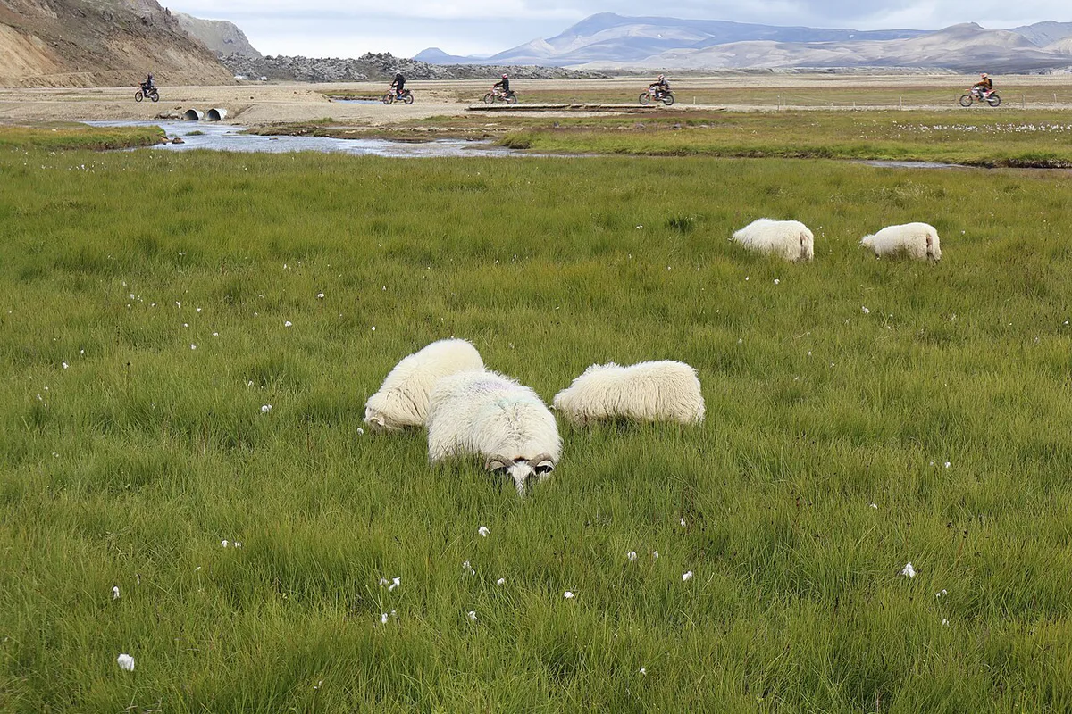
Tours: When a Guided Trip Is Worth It
A guided trip makes sense if you lack a 4x4, dislike river crossings, or want a longer route without navigating. Super jeep day tours from Reykjavik last about 11 to 12 hours. Guided hiking day tours run a 3-hour walk of 8 to 10 km inside a long day. Multi-day hut treks run 4 to 7 days. Prices vary by operator and season, so compare inclusions before you book.
| Tour type | Typical length | Fits |
|---|---|---|
| Super jeep day tour | About 11 to 12 hours | Visitors without a 4x4 who want a soak and short walks |
| Guided hiking day tour | Long day with transfers | Walkers who want a route and transport handled |
| Multi-day hut trek | 4 to 7 days | Hikers doing Laugavegur with gear carried or supported |
Sample Itineraries
These plans fit the summer season and assume roads are open.
- Day trip: leave Reykjavik early on F208 north, walk the Laugahraun loop and Brennisteinsalda (about 3 to 4 hours), soak, and drive back with your parking reservation sorted.
- Overnight: arrive after 4 PM or before 9 AM, camp or take a hut bed, hike Bláhnúkur at first light, then soak before leaving.
- Laugavegur start: take the Highland bus to Landmannalaugar, spend one night in the hut, and start the 54 km trek south the next morning.
Frequently Asked Questions
How long does it take to get from Reykjavik to Landmannalaugar?
Plan on 3 to 6 hours depending on route. F208 north takes about 4 hours, F225 about 4.5 hours, and F208 south 5 to 6 hours.
Can I go to Landmannalaugar?
Yes, in summer by 4x4, Highland bus, or guided tour. In winter only specially equipped super jeeps or snowmobiles can reach it.
Can I drive to Landmannalaugar?
Yes, if you rent a 4x4 and use F208 or F225 once the roads open. Cars arriving between 9 AM and 4 PM need a parking reservation.
Do you need a 4x4 to get to Landmannalaugar?
Yes. F-roads are meant for 4x4 vehicles, and a 2WD car may breach your rental agreement and insurance.





