
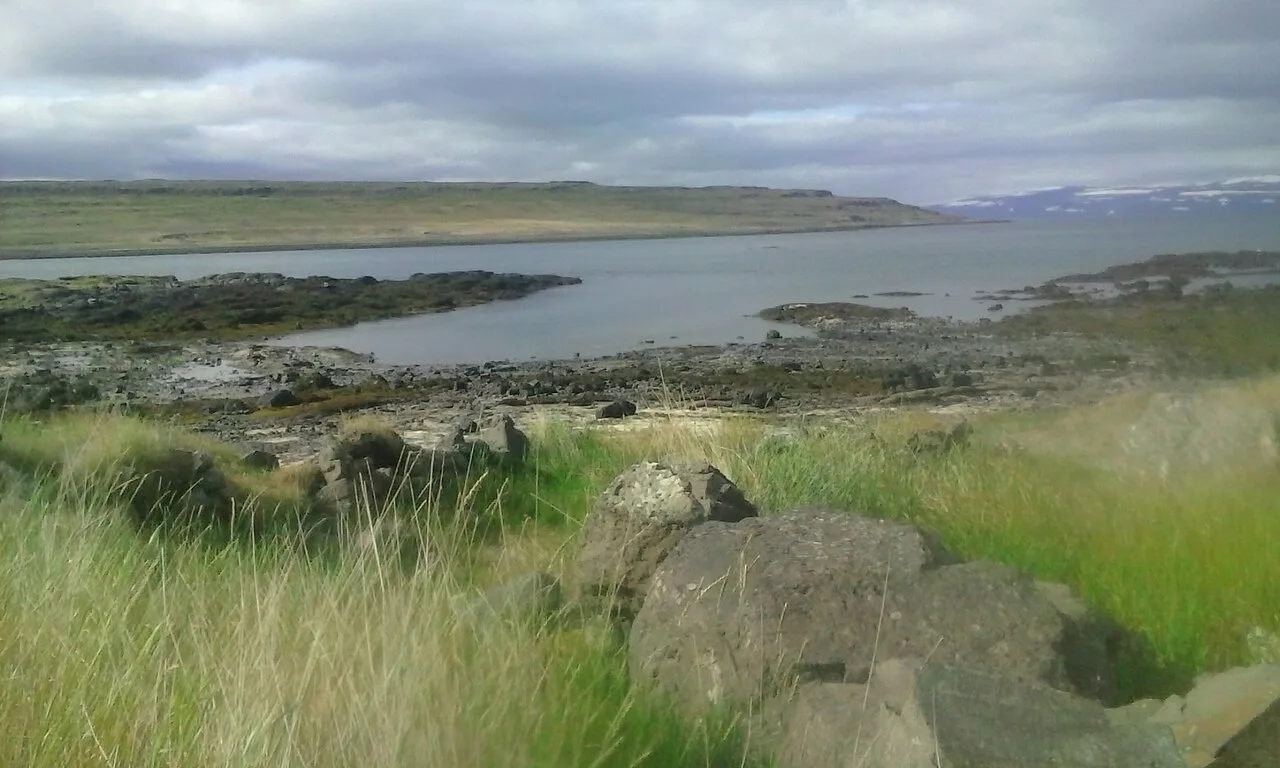
Reykjanes Geopark: What to See, Safety & How to Visit
Last updated November 2026: the Reykjanes Geopark is a UNESCO Global Geopark in southwest Iceland, where the Mid-Atlantic Ridge rises above sea level on land. Its southwest tip is 25 minutes from Keflavík Airport and about an hour from Reykjavík. Check volcanic and road conditions before you go, because roads near Grindavík can close at short notice.
Featured image: Reykholt, CC BY-SA 4.0, via Wikimedia Commons.
What the Reykjanes Geopark Is
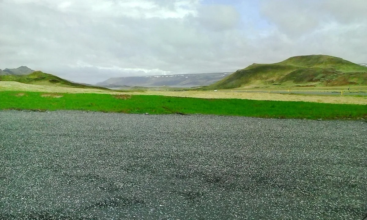
The geopark covers the whole of the Reykjanes Peninsula Travel Guide: Sights, Routes & Safety, known in Icelandic as Suðurnes. It spans four municipalities: Reykjanesbær, Grindavík, Suðurnesjabær and Vogar. Reykjanes joined the European Geoparks Network in September 2015 as Iceland's second member and the network's 66th. Its official list names 55 geosites, chosen for geology or cultural history. The North American and Eurasian plates pull apart here by about 2 cm a year. Fissure swarms run southwest to northeast across the peninsula, each with crater rows, lava fields and geothermal areas. The peninsula then stayed quiet for roughly 800 years after the Reykjanes Fires ended in the 13th century. That silence broke in March 2021 with the first Fagradalsfjall eruption. Geopark status dates from 2015, so it predates every recent eruption. The official geopark site lists each geosite.
Is the Reykjanes Geopark Safe to Visit Now?
Most geosites stay open, but conditions around Grindavík and Svartsengi change quickly. The Sundhnúkur crater row erupted repeatedly from December 2023 to the summer of 2025. Through 2026 the Icelandic Met Office has kept measuring uplift and magma accumulation under Svartsengi. Roads near the Blue Lagoon can close at short notice. Read the latest on Grindavík town before you plan a stop there. The Svartsengi power area sits beside the lagoon and is covered in its own guide. For Blue Lagoon access during the unrest, see the lagoon and the volcano. This page cannot give live status. Use Safetravel Iceland and road.is on the day of your visit. Stay on marked paths around geothermal areas and fresh fissures, and obey every closure sign. Gas collects in hollows and valleys, so stay on ridges and high ground.
Reykjanes stayed quiet for roughly 800 years, yet the Sundhnúkur crater row erupted from December 2023 to the summer of 2025.
How to Get to the Geopark
The peninsula suits a loop drive. From Reykjavík, take Road 41 toward Keflavík, then Road 425 along the west coast to the tip. From there you reach Grindavík. Return by Road 43 past the Blue Lagoon, or continue east on Road 427 toward Krýsuvík and back on Road 42 past Kleifarvatn. These are paved or good gravel roads that ordinary cars can handle. Wind and winter ice make the coastal stretches tricky. Each main geosite has its own car park with a short walk to the viewpoint. Without a car, a guided day tour from Reykjavík covers the same stops and adjusts the route to whatever is open.
Road 43 returns you past the Blue Lagoon, where roads can close at short notice, so check road.is before setting off.
Best Geosites in Driving Order
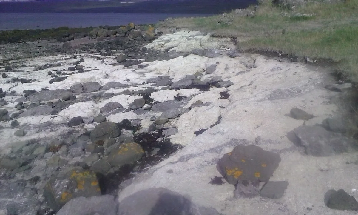
The best-known stops cluster at the southwest tip, within a few minutes' drive of each other. The Krýsuvík side lies east along the south coast. Work from west to east in this order.
- Gunnuhver: mud pools where steam has grown stronger since geothermal production began nearby in 2006.
- Valahnúkur: a sea cliff of layered tuff with views of the Eldey bird rock offshore.
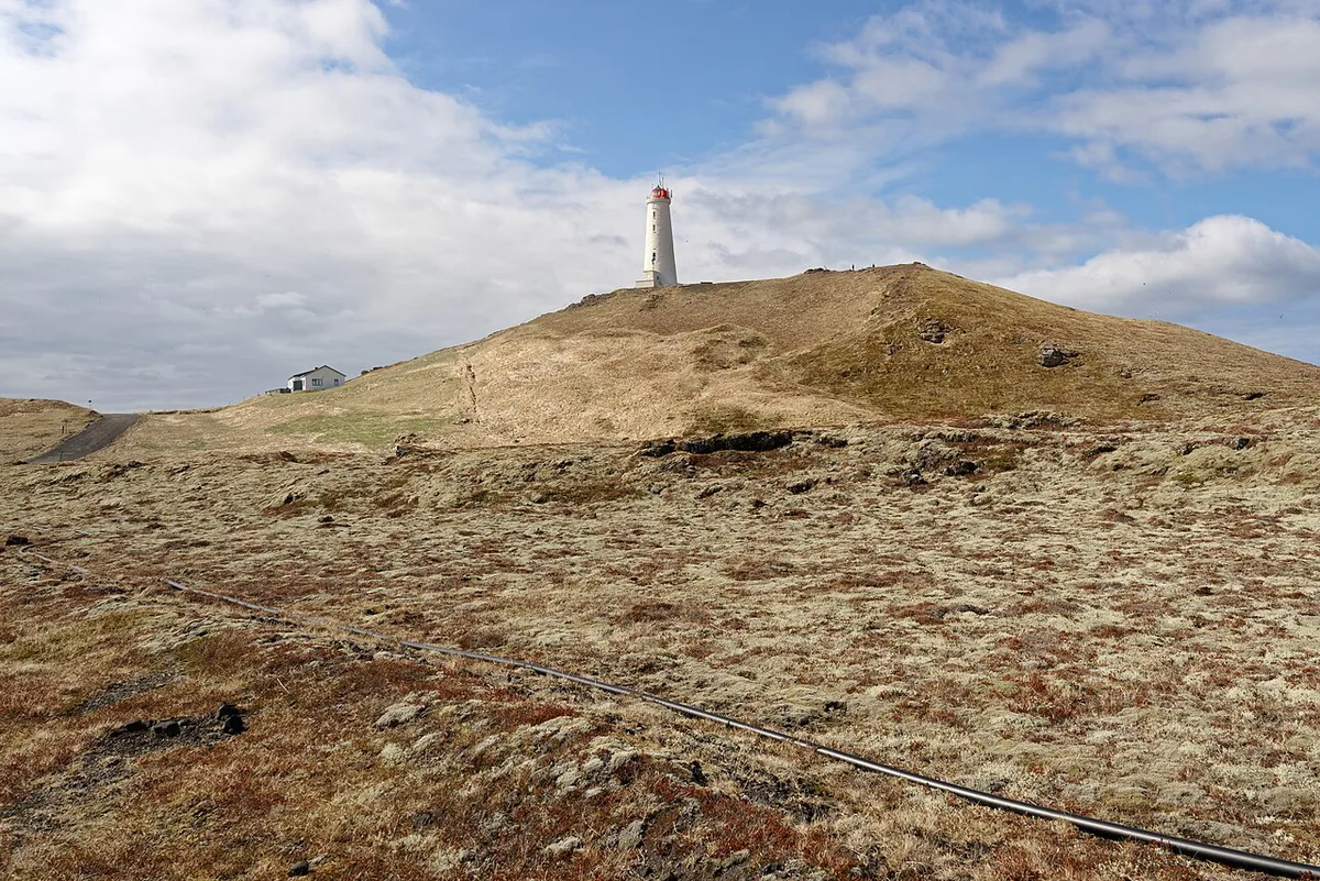
- Reykjanes lighthouse: the Reykjanes lighthouse stands on the site first lit in 1878, and the present tower dates from 1907 to 1908.
- Bridge Between Continents: a footbridge over the plate boundary at Sandvík, where new cracks have opened nearby.
- Brimketill: a rock pool carved by surf west of Grindavík.
- Selatangar: ruins of a fishing station among the lava, with stone shelters and fish-drying walls.
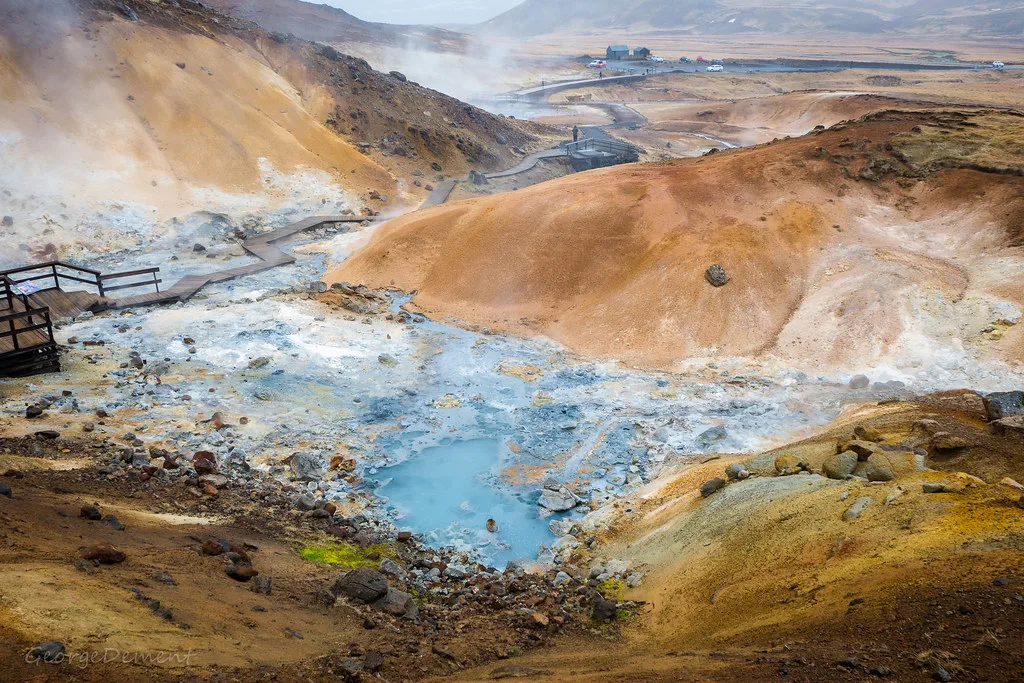
- Seltún at Krýsuvík: boardwalks between steaming vents and coloured clay.
- Kleifarvatn: a dark lake of about 10 square kilometres among hyaloclastite ridges.
Eruption Sites and the Volcano Story
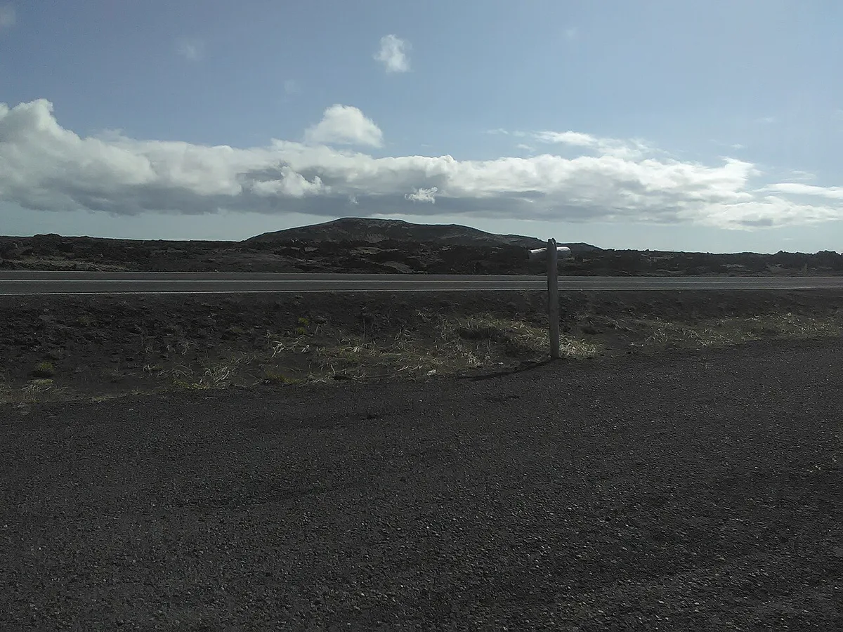
Fagradalsfjall erupted in March 2021, then again in 2022 and 2023. The Fagradalsfjall lava fields remain the main hiking destination. The first eruption filled the valley called Geldingadalir. The 2023 eruption built the cone at Litli-Hrútur. Later eruptions moved north of Grindavík to the Sundhnúkur crater row, which was active until summer 2025. For the geology behind these events, read what kind of volcano this is. The hike is about 5.5 km (3.4 miles) round trip, with roughly 2 hours of walking and about 300 m (985 ft) of climbing, according to one tour operator. Check trail status on Safetravel before you set out. Skip the hike in poor visibility, high wind or if you have limited mobility. The drive-up geosites give you the geopark story without it. Our volcano hike guide covers the route in detail.
Self-Drive, Tour, or Layover: Which Fits You?
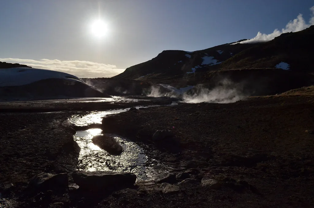
Pick by time and by how much you want to manage closures yourself. Cost levels are relative, so check current rates with each operator. Guided options reroute when roads close. For guided hikes, compare Fagradalsfjall hike tours.
| Option | Time needed | Cost level | Access and limits | Best for |
|---|---|---|---|---|
| Self-drive loop | Half to full day | Medium (car and fuel) | You track closures and wind yourself | Flexible travelers with a car |
| Guided day tour from Reykjavík | About 7 hours | Medium to high | Route changes with conditions | Travelers without a car |
| Airport-day layover | 3 to 4 hours | Low to medium | Southwest tip is 25 minutes from the airport | Arrival or departure days |
| Fagradalsfjall hike tour | Most of a day | Medium to high | Weather and gas conditions can cancel it | Fit walkers who want an eruption site |
| Blue Lagoon plus geopark combo | Full day | High | Depends on Blue Lagoon access | Travelers who want both in one trip |
| Helicopter flight | About 40 minutes | High | Weather dependent | Aerial views, limited time |
Best Time to Visit and How Long to Spend
The geosites are open year-round, and the airport location makes the peninsula useful in any season. Summer brings long days and seabirds on the Valahnúkur cliffs. Winter brings short daylight and strong Atlantic storms. It also brings heavy surf at Brimketill and a chance of northern lights away from town lights. Allow half a day for the southwest tip. Plan a full day if you add Krýsuvík and a geothermal soak. On a rainy day, start at the geopark's visitor exhibition in the Duus Museum in Keflavík. It explains how the peninsula formed. Museum admission in 2026 is 1,500 ISK for adults and 1,200 ISK for seniors and students. Visitors under 18 get in free. Prices and hours checked November 2026.
Mistakes to Avoid
Most problems come from treating the geopark as one place or trusting stale information.
- Treating the geopark as a single attraction: it is a peninsula of 55 geosites, so pick a route.
- Relying on old eruption news: conditions near Grindavík and Svartsengi change fast.
- Entering gas-prone hollows: stay on ridges and marked paths.
- Skipping road checks: look at road.is before leaving Reykjavík.
- Underestimating coastal wind: it can make cliffs and car doors dangerous.





