
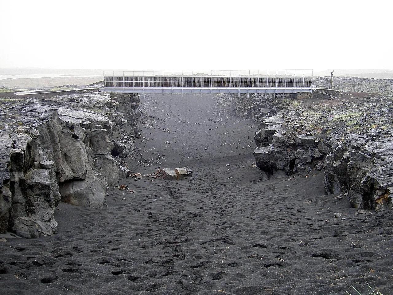
Bridge Between Continents, Iceland: Visitor Guide
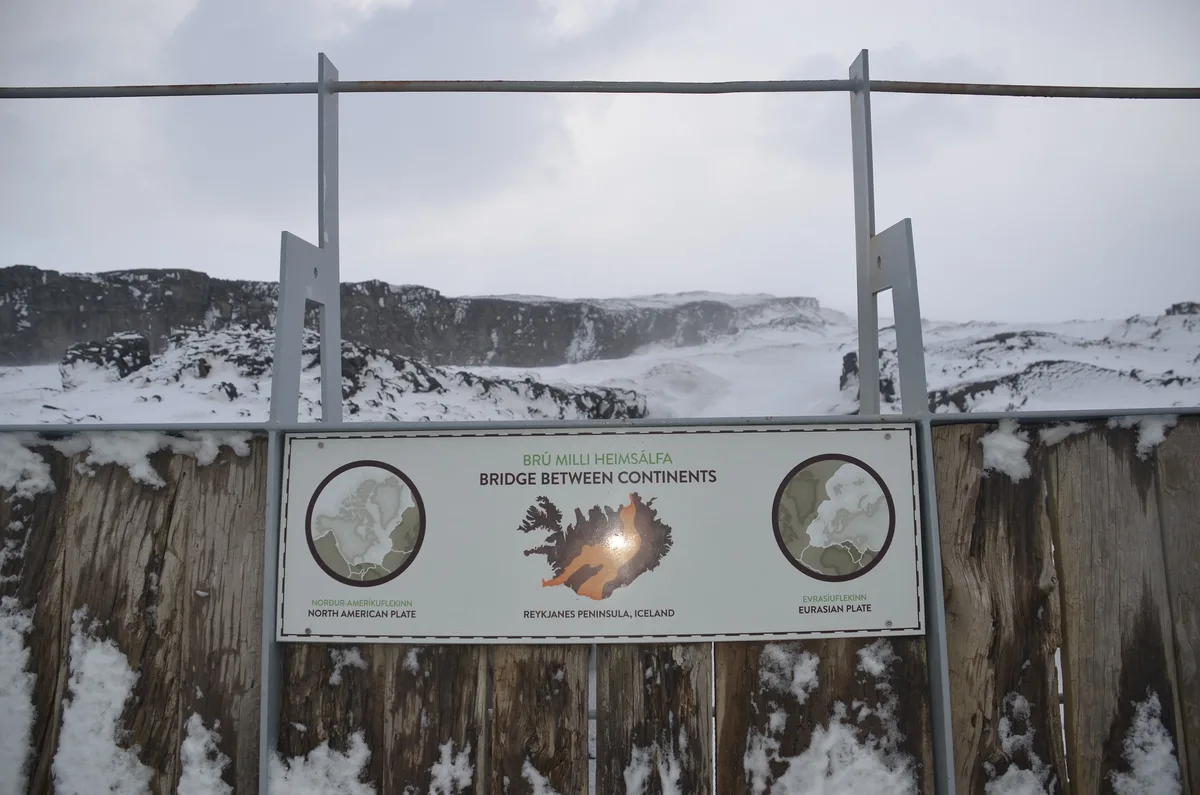
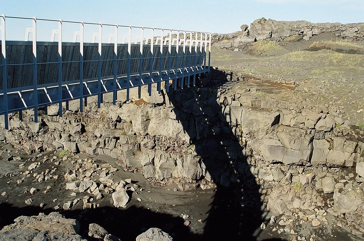
Last updated November 2026: the bridge between continents is a small footbridge over the Álfagjá rift valley near Sandvík on the Reykjanes Peninsula. It spans the boundary between the North American and Eurasian plates, so you cross from one plate to the other in a few steps. Plan a short stop of roughly 15–30 minutes, which is our editorial estimate, rather than a half-day outing.
Featured image: Chris 73, CC BY-SA 3.0, via Wikimedia Commons.
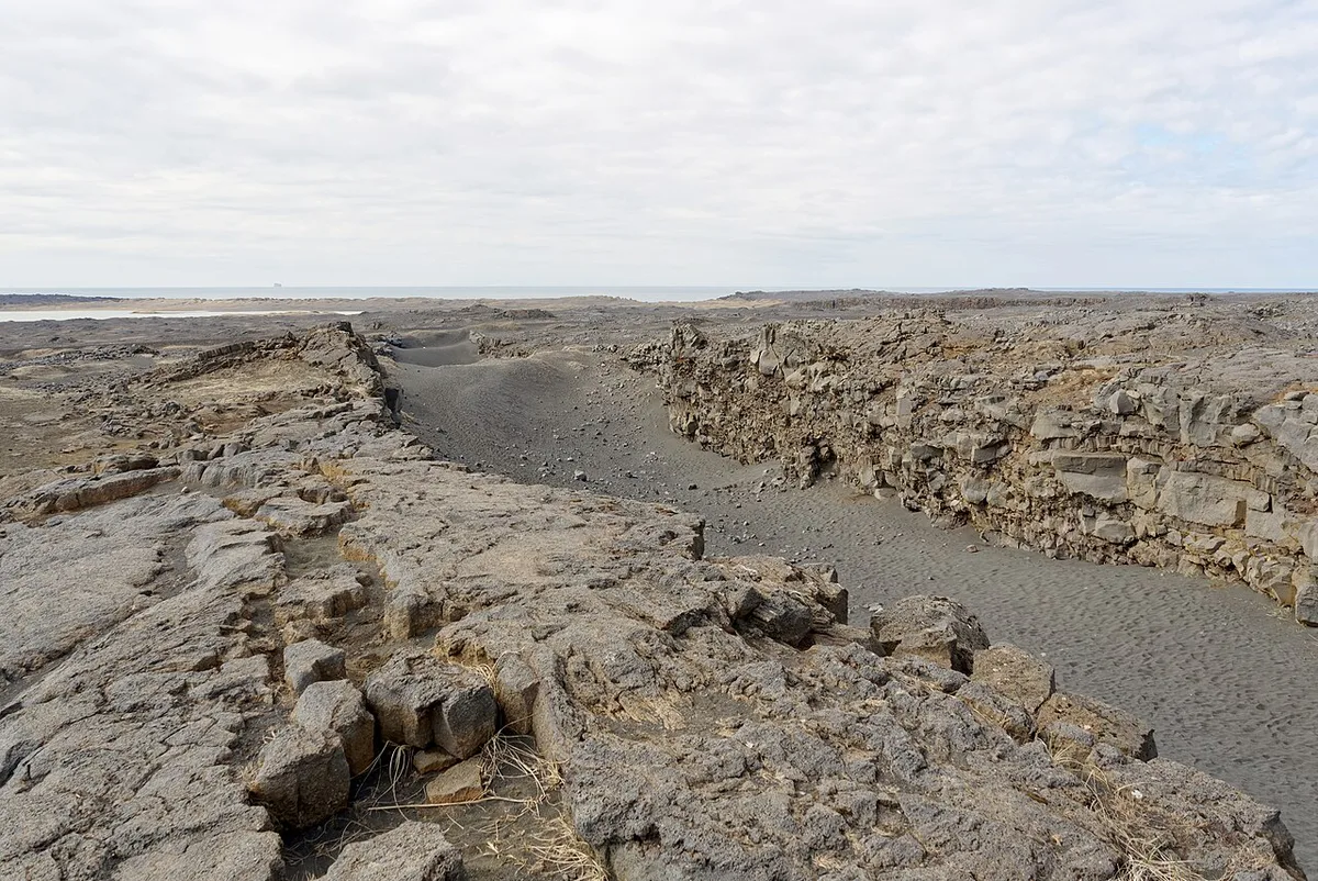
Bridge between continents at a glance
Sandvík sits on the western Reykjanes Peninsula, in the Hafnir area. Visitors park, walk the short span and photograph the rift. Little else is on site, which keeps the stop quick. Prices and hours checked November 2026: the stop is listed as free and open 24 hours, so daylight is the practical limit.
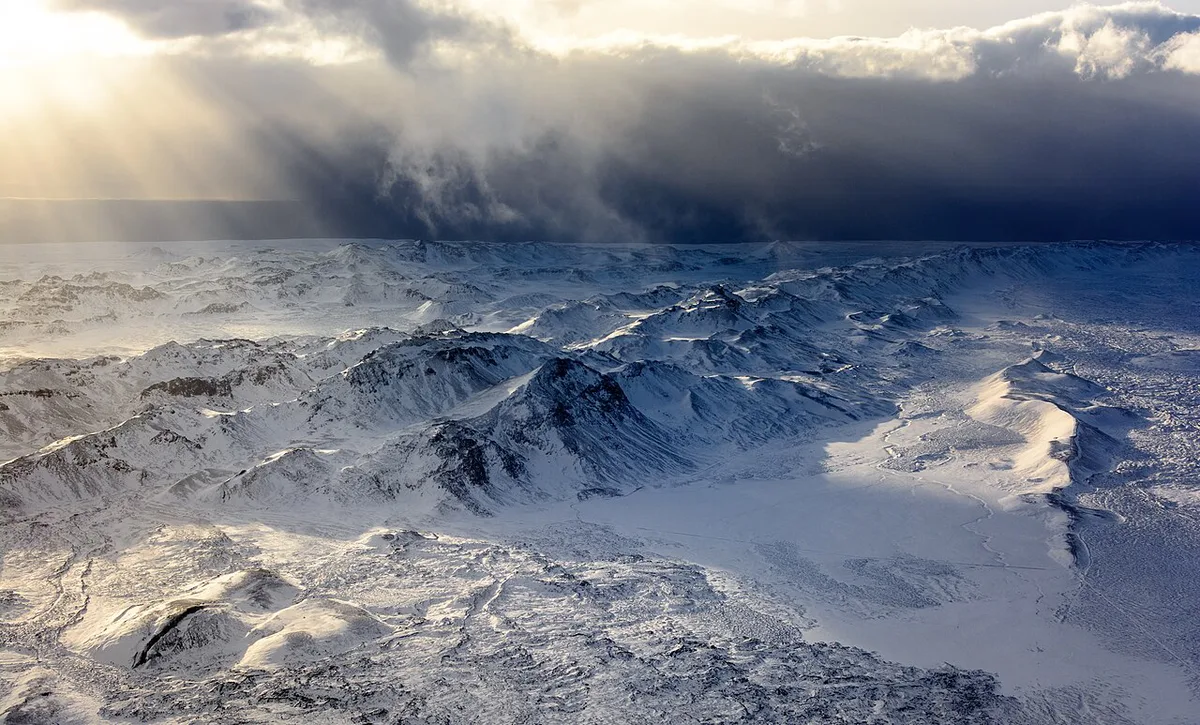
- Location: Álfagjá rift valley near Sandvík, Hafnir area, Reykjanes Peninsula
- Time needed: about 15–30 minutes (editorial estimate)
- Cost: listed as free, including parking
- Best for: geology-curious travelers, families, and drivers moving between Keflavik airport and the Reykjanes sights
What the bridge actually is (and is not)
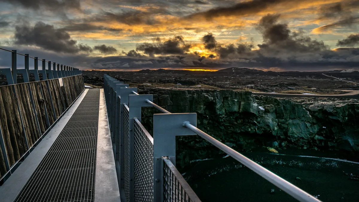
Iceland sits on the Mid-Atlantic Ridge, where the North American and Eurasian plates pull apart. Reykjanes is where that boundary comes ashore, and the Reykjanes Geopark: What to See, Safety & How to Visit covers the area. Geology explainers for the peninsula are available on the geopark's official site. Calling the crossing a walk between continents is shorthand. You are stepping over a plate boundary, not a visible continental border. Þingvellir in the Golden Circle is a separate and far busier plate-boundary site. Do not mix the two up when you plan your route.
Is it worth the stop?
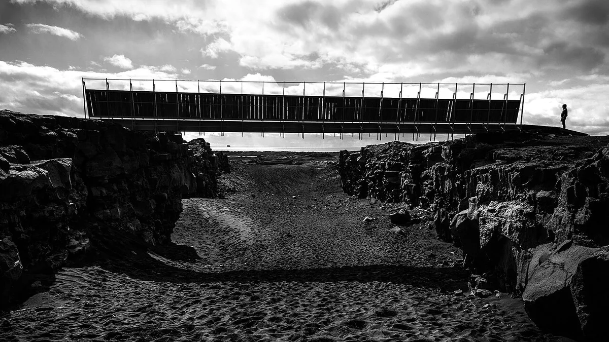
Be realistic about scale. This is a quick, low-drama stop, and you should not expect a deep canyon. The mistakes to avoid are expecting a dramatic gorge, planning a bus-only trip without checking schedules, ignoring wind and winter darkness, and assuming every volcanic zone on Reykjanes is open.
| Traveler type | Time budget | Verdict |
|---|---|---|
| Geology-curious traveler | 15–30 minutes | Worth it |
| Family with children | 15–30 minutes | Easy photo stop |
| Scenery chaser | Only if passing | Better to spend time on the coast near Reykjanesviti |
| Bus-only traveler | Needs planning | Probably skip unless a tour includes it |
How to get there
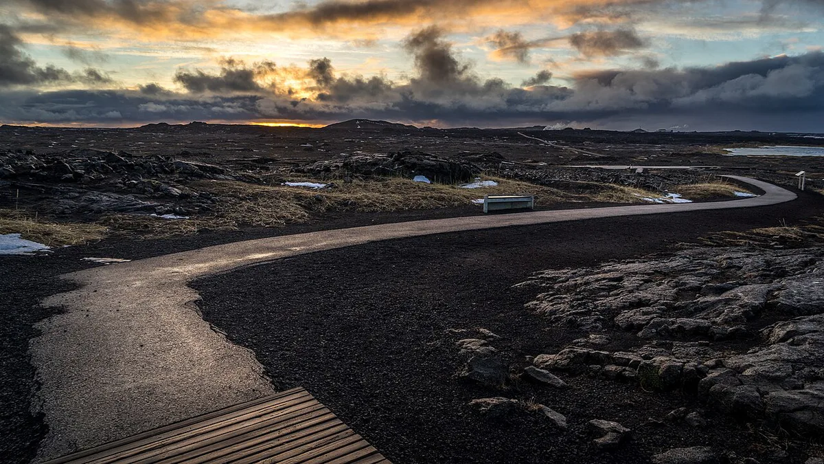
A car is the practical option, and you can navigate to Sandvík in the Hafnir area. Check Strætó and Visit Reykjanes for current bus or tour options before you rely on either.
How long to stay and when to go
Allow roughly 15–30 minutes, which is our editorial estimate. Wind and winter daylight are the real limits here. The coast is exposed, and rock near the rift can be uneven or slippery. Go in daylight and dress for gusts. Winter road conditions and weather warnings are posted at Safetravel Iceland.
Listed as open 24 hours, the site is still a daylight stop, so treat that listing as a technicality rather than a plan for night visits.
Weather and climate at Sandvík by season
The bridge sits on an open, treeless stretch of the Reykjanes coast, so the weather you feel is mostly wind. Iceland's Atlantic position keeps the south-west coast milder than its latitude suggests, but conditions can change within an hour. Typical figures for the Keflavík area are approximate and vary from year to year.
| Season | Typical daytime temperature | Daylight | What it means for the stop |
|---|---|---|---|
| Winter (Dec-Feb) | About -1 to 3 °C | Roughly 4-7 hours around the solstice | Short daylight window, icy rock near the rift, wind chill |
| Spring (Mar-May) | About 1 to 7 °C | Lengthening quickly | Variable; slush or patchy ice is possible early on |
| Summer (Jun-Aug) | About 10 to 14 °C | Very long evenings, with near-continuous light around the solstice | Easiest season; the 15-30 minute stop fits any time of day |
| Autumn (Sep-Nov) | About 3 to 9 °C | Shortening fast | Rain and gusts are common; check the forecast before you drive |
What to wear
- A windproof outer layer matters more than a heavy coat, because the span is exposed.
- Shoes with grip help on wet or frosty volcanic rock beside the rift.
- Gloves and a hat are worth having even in summer if the wind is up.
In the long summer evenings the light is soft and low, which makes the rift easier to photograph than at midday. In winter, plan the stop for the middle of the day and check the weather and road forecast on Safetravel Iceland and the Icelandic Met Office (vedur.is) before setting out. If a strong wind warning is active for the south-west, the bridge is an easy stop to postpone, since it takes so little time.
Combine it with nearby stops
Treat the bridge as one stop on a loop of the Reykjanes Peninsula Travel Guide: Sights, Routes & Safety. Reykjanesviti lighthouse is the natural coastal pairing. Gunnuhver is another peninsula stop worth checking for access. If you fly from Keflavik, the bridge fits before or after your airport transfer. Read about the Blue Lagoon and the volcano if you plan a soak, and book through the Blue Lagoon site.
Since the rift stop takes 15–30 minutes, it is easy to pair with Reykjanesviti lighthouse on the same peninsula loop.
Current conditions on Reykjanes
The peninsula has been volcanically active, and access can change quickly. Our guide to the Sundhnúkur eruption area covers the recent activity. Read about Grindavík before you drive nearby, since parts of the town area have been restricted. Readers who want the volcano side of the peninsula can start with Fagradalsfjall. The bridge is not a volcano hike, so keep the two plans separate.
Plan it as a quick airport-day stop
The Bridge Between Continents works best as a flexible stop on a Reykjanes driving day. It is particularly easy to consider before or after a Keflavík airport transfer, rather than as a destination that needs its own day.
Allow 15–30 minutes for the bridge, rift photographs and a short look around. That estimate leaves room to adjust your plans if the wind is unpleasant or visibility is poor.
The site is listed as open 24 hours, but daylight is the sensible window for most visitors. The rift edges and rocky ground are easier to judge in good light. Strong coastal wind can also make a brief stop feel less appealing.
Pair the bridge with one or two nearby Reykjanes sights, rather than trying to rush across the whole peninsula. Reykjanesviti and Gunnuhver make a better coastal continuation. Check access updates before setting out, especially when volcanic activity or winter weather affects local roads.
Frequently Asked Questions
Where in Iceland can you stand on two continents?
The bridge between continents near Sandvík on the Reykjanes Peninsula lets you cross between the North American and Eurasian plates. Þingvellir in the Golden Circle is a separate plate-boundary site.
Is the Bridge Between Continents free?
Entry and parking are listed as free. Check Visit Reykjanes before you go if you want to confirm current terms.





