
Reykjanes Peninsula Travel Guide: Sights, Routes & Safety
Last updated November 2026: the Reykjanes Peninsula is the volcanic, geothermal and coastal corner of southwest Iceland that holds Keflavik Airport. It suits stopovers, day trips from Reykjavik and anyone curious about the recent eruptions. One caveat matters most, because volcanic activity near Grindavik and the Blue Lagoon area can change access at short notice.
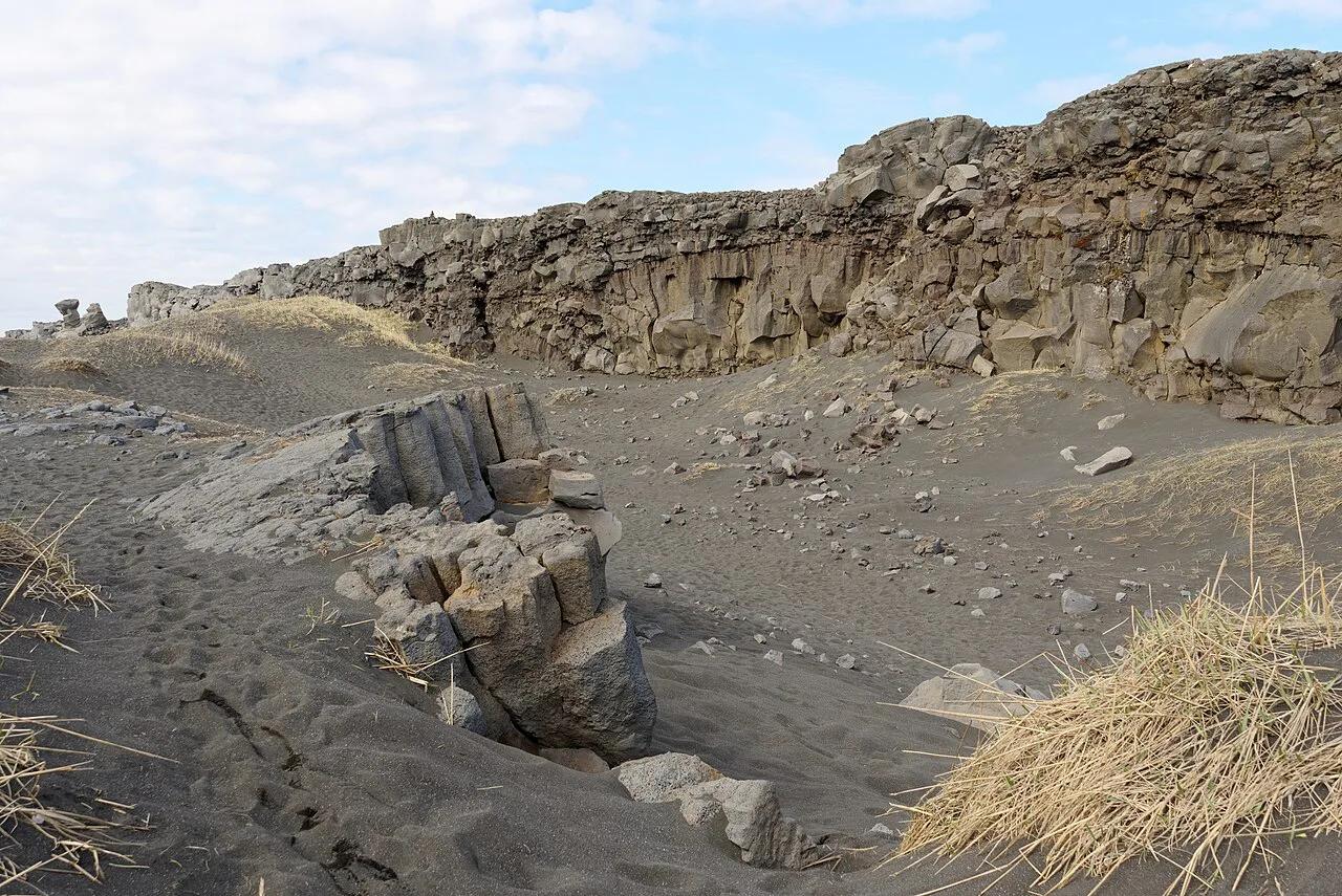
Featured image: Jakub Hałun, CC BY-SA 4.0, via Wikimedia Commons.
Reykjanes Peninsula at a glance
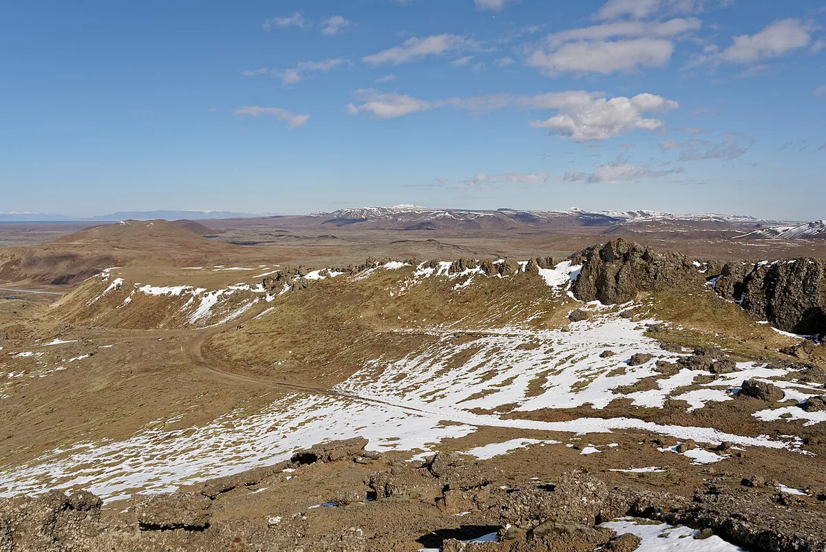
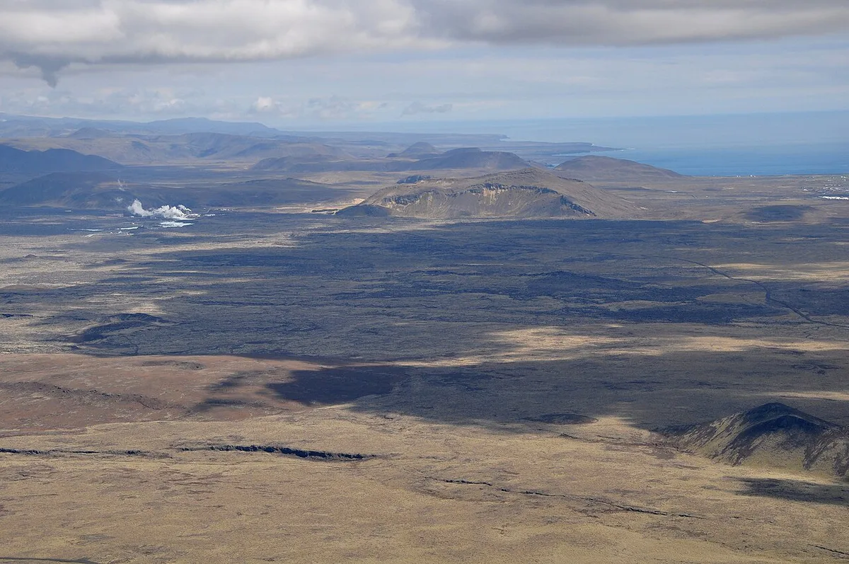
Most visitors land here without seeing it. Keflavik Airport sits on the western end, and the sights spread east and south along roads 41, 43, 425 and 427. Geologically, the peninsula sits on the Mid-Atlantic Ridge, where the North American and Eurasian plates drift apart by about 2.5 cm (1 inch) a year. Five volcanic systems run across it: Reykjanes, Svartsengi, Krýsuvík, Fagradalsfjall and Brennisteinsfjöll. Competitors in the area describe a full loop of roughly 160 km (99 miles), so a long day covers most of it. Shorter stopovers work well too, because the Blue Lagoon is about 20 km (12 miles) from the airport.
- Best for: arrival or departure days, Reykjavik day trips, camper-van travelers, geology fans
- Main caveat: eruption-area access around Grindavik can change
- Free roadside sights: Reykjanes Lighthouse, Gunnuhver, Brimketill, Seltun
- Paid or booked stops: Blue Lagoon, Viking World, guided volcano tours
Check the eruption and access situation before you go
Eruptions here have reshaped the map since 2021. Old maps and older blog posts can send you toward closed ground. Start with the Safetravel hazard and closure notices for current advice. Then check the Icelandic Meteorological Office for volcanic and seismic status, and road.is for road and track conditions. For local notices, the Reykjanesbær and Grindavík municipality sites are the right place. Background on each eruption lives on dedicated pages. Read about the Fagradalsfjall eruption area first. The first 2021 vent is covered in the Geldingadalir valley eruption page. Later activity is in the Litli-Hrútur eruption guide. The Sundhnúkur crater row page covers the eruptions nearest Grindavik. For geology, see what kind of volcano Fagradalsfjall is. Never assume a road, trail or lagoon is open until a live source says so.
Best things to see on the Reykjanes Peninsula
Stops are listed roughly from the airport outward. Some are free and roadside. Others need a booking or a suitable vehicle.
- Blue Lagoon: Iceland's best-known geothermal spa lies in a lava field, about 20 km (12 miles) from the airport. Book ahead through the official Blue Lagoon site, because walk-up entry is risky. Its eruption context is on the Blue Lagoon and the volcano page, and the surrounding Svartsengi power station area shares that setting.
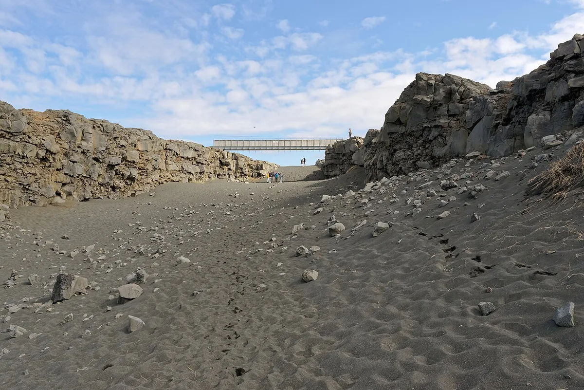
- Bridge between Continents: a small footbridge spans a rift between the two plates. A certificate is available from the Garður folk museum information center, according to Visit Reykjanes. The footbridge across the plate rift has its own guide. It is a different site from the Thingvellir rift on the Golden Circle.
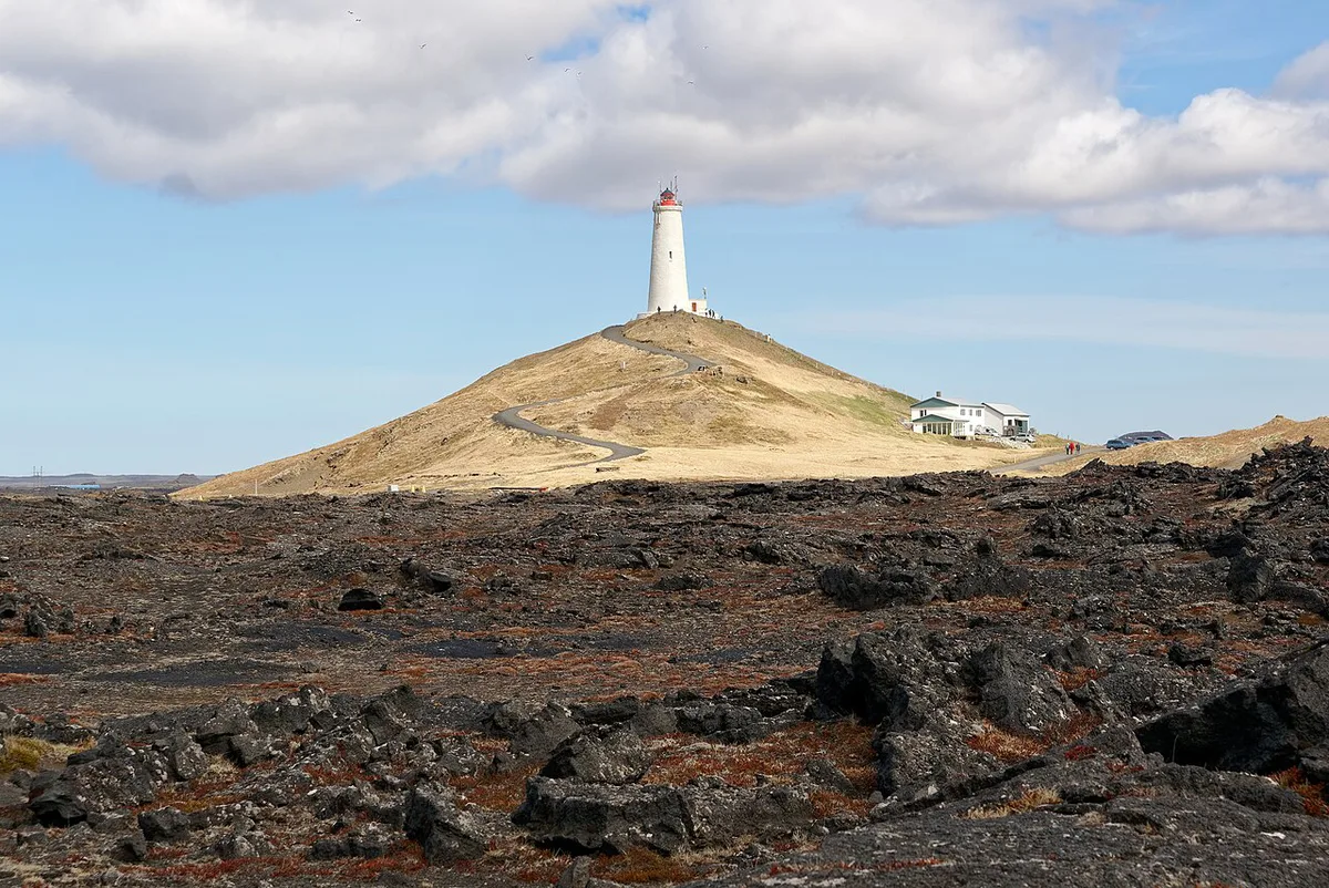
- Reykjanes Lighthouse and Gunnuhver: the lighthouse was built in 1907–1908 and stands 26 m (85 ft) high, about 70 m (225 ft) above sea level. Read more on the Reykjanes Lighthouse page. Nearby Gunnuhver has Iceland's largest mud pool, about 20 m (65 ft) wide, plus a ghost legend about Gunna.
- Brimketill: a lava rock pool below a cliff, reached from a parking lot on road 425. Waves can exceed 10 m (33 ft) on windy days. Swimming is forbidden, so stay on the paved path.
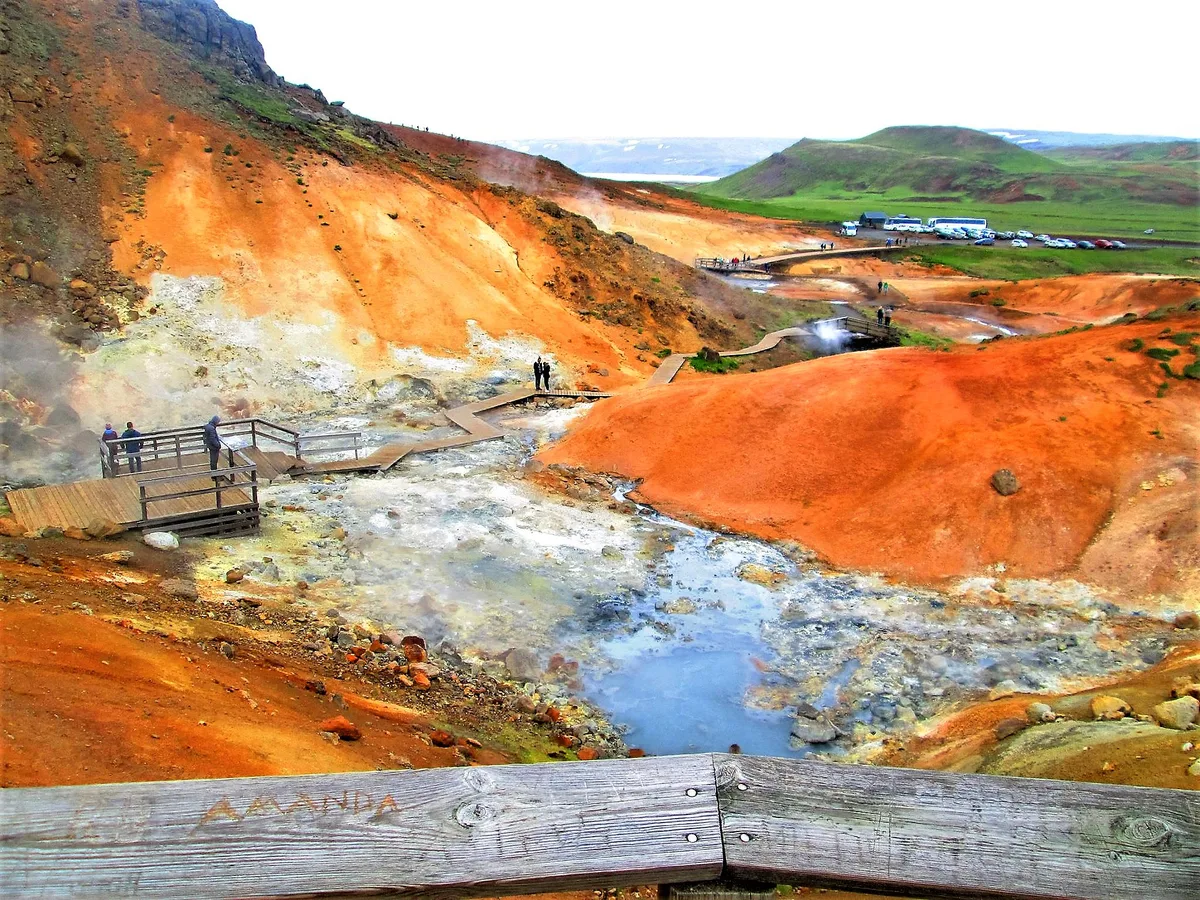
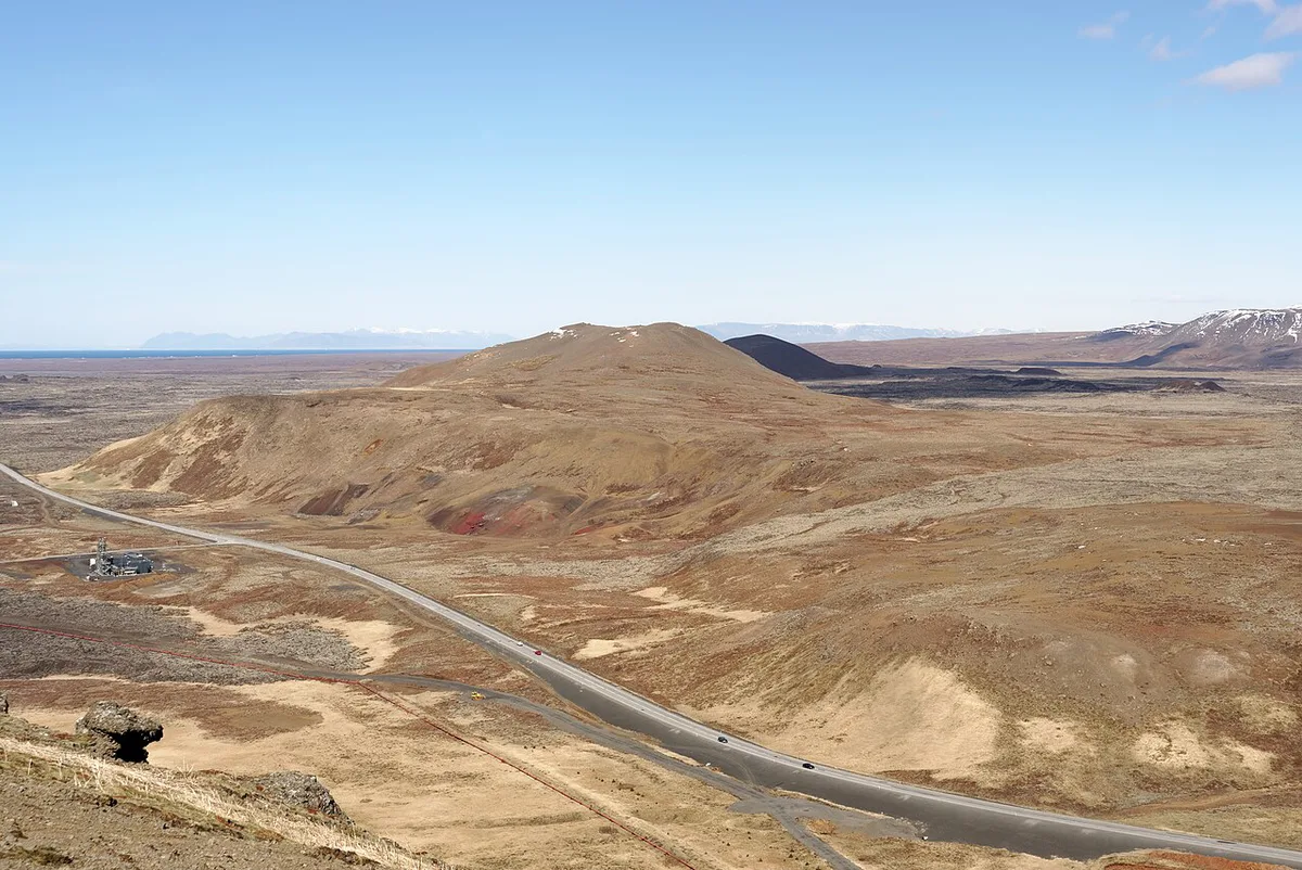
- Krýsuvík and Seltun: bubbling mud pools, steam vents and colorful ground sit beside Kleifarvatn lake. The Krýsuvíkurberg bird cliffs run over 4 km (2.5 miles), reach about 60 m (195 ft) and hold more than 50,000 seabirds in summer.
- Fagradalsfjall area: hiking and viewpoint access depends on current status. See volcano hike options for routes. Guided Fagradalsfjall Tours: Which Volcano Hike Fits You suit anyone who wants a guide.
- Viking World: a museum in Keflavik with a replica Viking ship, suited to rainy days and families. Check its official site for hours and tickets.
Route options and time trade-offs
Pick a route by how many hours you have and what you drive. Drive times below are for planning only, so check a live map. Eruption closures can lengthen any route near Grindavik.
| Route | Stops | Vehicle | Best season | Caveat |
|---|---|---|---|---|
| Airport stopover loop | Bridge between Continents, Reykjanes Lighthouse, Gunnuhver, Brimketill | Ordinary car on paved roads | Year-round with daylight | Strong wind and wave spray |
| Reykjavik half-day | Blue Lagoon, Seltun, Kleifarvatn | Ordinary car, paved main roads | Spring to autumn | Booking needed for the lagoon |
| Full-day loop | Keflavik, lighthouse area, Brimketill, south coast road 427, Krýsuvík, Blue Lagoon | Car; 4x4 for Krýsuvíkurberg track | May to September for birds | Around 160 km (99 miles); closures near Grindavik |
Which stop suits which traveler
Match the stop to your group. Mobility and weather change the answer more than distance does.
Families who pick Raufarhólshellir lava tunnel should know it is about 30 minutes from Reykjavik, so add the drive to any city day.
| Traveler | Best stops | Why |
|---|---|---|
| First-timer | Bridge between Continents, Gunnuhver, Blue Lagoon | Short walks and clear signage |
| Families | Viking World, Raufarhólshellir lava tunnel | Indoor or paved options |
| Photographers | Reykjanes Lighthouse, Valahnúkamöl, Krýsuvíkurberg | Cliffs, surf and birds |
| Geology fans | Seltun, Fagradalsfjall area, Kleifarvatn | Active heat and recent lava |
| Bad weather | Viking World, Duus museum in Keflavik | Under cover |
| Limited mobility | Lighthouse parking, Gunnuhver paths, Bridge between Continents | Short, mostly flat approaches |
Getting around: car, 4x4, tours and the airport
Keflavik Airport makes this the easiest region to reach in Iceland. A rental car collected at arrival covers the paved sights. You do not need a 4x4 for the whole peninsula. One operator recommends a 4x4 for the roughly 2 km (1.2 mile) dirt track to Krýsuvíkurberg and calls it essential in winter. The same operator says Keilir needs a 4x4 to reach its trailhead, followed by a hike of about 3 km (2 miles). Raufarhólshellir lava tunnel is about 30 minutes from Reykjavik. Confirm its public access rules before planning it. For volcano terrain, a guided tour avoids route-finding and closed ground. The Reykjanes UNESCO Global Geopark page explains how these sights fit together.
Plan a 4x4 for the roughly 2 km (1.2 mile) dirt track to Krýsuvíkurberg, and time that stretch for the May to September bird season.
Where to stay and eat
Keflavik is the largest town and has restaurants, shops, coffee houses, the Duus museum and the Icelandic Museum of Rock 'n' Roll. Garður, about 10 km (6 miles) north, has a campsite near Garðskagaviti lighthouse and a small museum. Sandgerði has a Science and Learning center and the Sandgerðistjörn pond for migratory birds. Hafnir is among Iceland's smallest villages, with a shoreline path and Hafnaberg bird cliff nearby. Grindavik has long been a fishing town with a campsite and a salt-fish museum. Treat Grindavik services as subject to local notices. Camper-van travelers should check campsite opening dates with each operator.
Safety on coasts, geothermal ground and lava
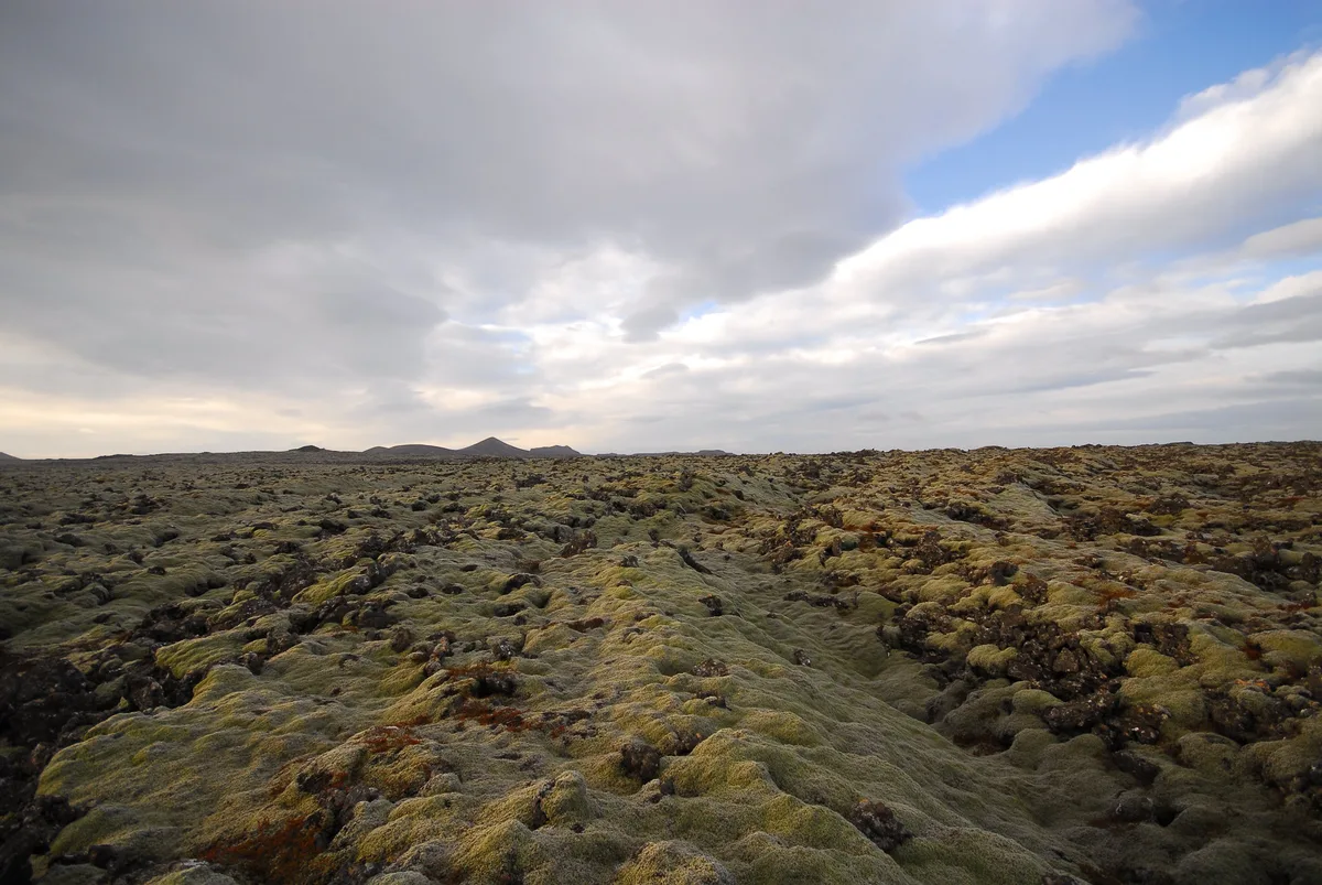
Hazards here are physical and specific. Waves at Brimketill and Valahnúkamöl hit hard. Ground at Gunnuhver and Seltun can be scalding under a thin crust. Fresh lava stays hot beneath the surface.
- Keep to paved paths at Brimketill and never turn your back to the sea.
- Stay on boardwalks at Gunnuhver and Seltun.
- Do not walk on new lava fields.
- Do not drive a regular car onto soft gravel tracks such as the Krýsuvíkurberg road.
- Do not rely on old eruption maps.
- Expect strong wind at every coastal stop.
Best time to visit
Summer suits birds and long daylight. Krýsuvíkurberg is best from May to September, and arctic terns breed near the lighthouse in early summer. Eldey island, about 16 km (10 miles) offshore, is home to roughly 16,000 pairs of gannets. Winter brings short days, ice and stronger weather. Roads and tracks need checking on road.is. The paved stopover loop works in any season, while volcano hikes and 4x4 tracks suit summer and early autumn best.
Frequently Asked Questions
Is the Blue Lagoon safe from the volcano?
Access has been affected by eruptions near Grindavik, so status can change. Check the Blue Lagoon site and Safetravel before you travel, and book ahead.





