
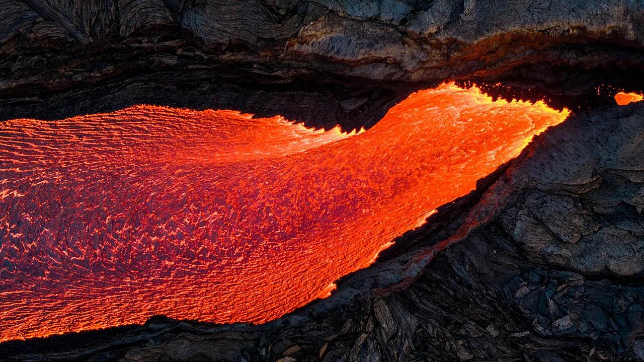
Litli-Hrútur Volcano: Hike, Parking & Current Status
Last updated November 2026: litli hrutur, or Litli-Hrútur, is the small mountain beside the 2023 fissure eruption site, which ran from 10 July to 5 August. Nothing is erupting for visitors now, but access still depends on official hazard and closure status on the day you go. Expect a long walk of about 18–20 km (11–12 miles) round trip, and plan on 5–7 hours on foot.
Featured image: Anthony Quintano from Mount Laurel, United States, CC BY 2.0, via Wikimedia Commons.
Litli-Hrútur at a glance
Litli-Hrútur means ‘Little Ram’ in Icelandic. Searchers also type Litli Hrutur or Little Hrutur, and all three point to the same place. Its summit is listed at roughly 310–312 m (about 1,020 ft), so this is a modest hill, not a towering cone. Our view is simple: the walk suits fit hikers with a full day, and nobody else should treat it as a quick detour.
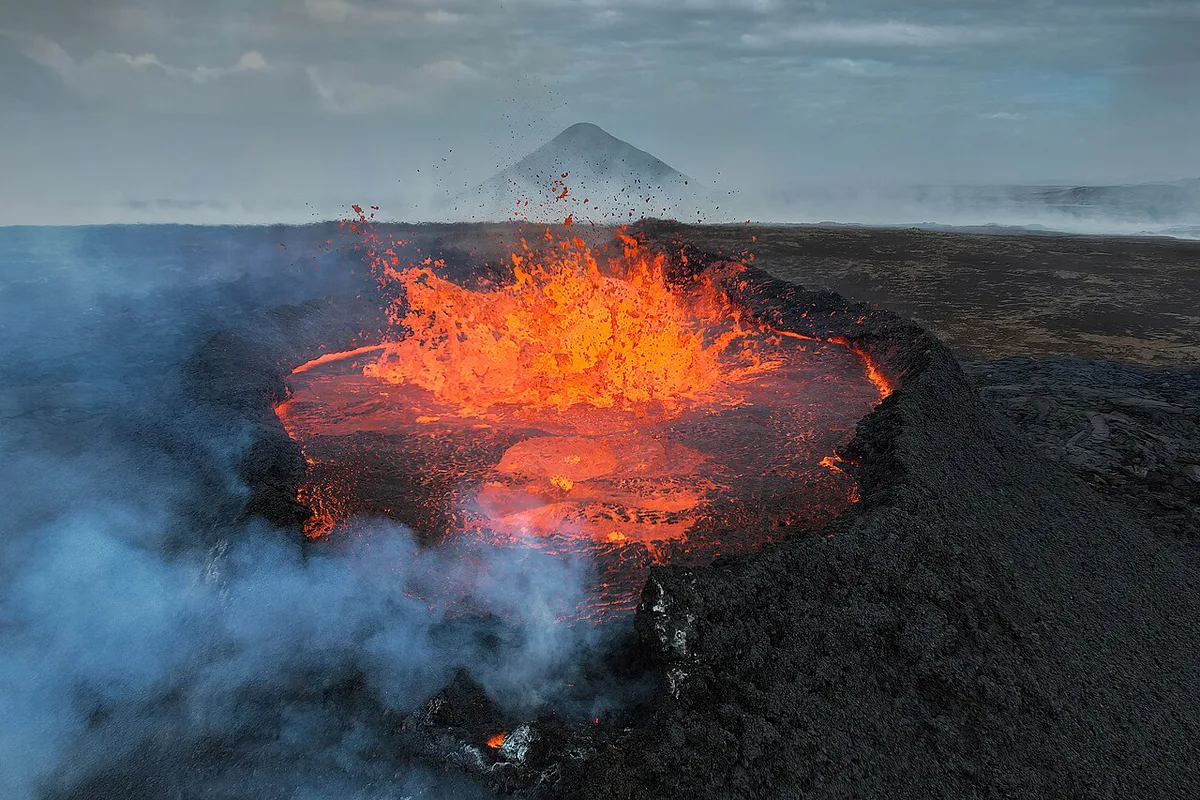
- What it is: the small mountain beside the lava field of the 2023 fissure eruption, north of Fagradalsfjall.
- Status: the eruption ended on 5 August 2023, and closures still change with hazards and weather.
- Hike: about 18–20 km (11–12 miles) round trip, usually 5–7 hours depending on route and pace.
- Drive: roughly 30 minutes from Keflavík Airport and roughly 40 minutes from Reykjavík, both approximate.
- Checks: SafeTravel closures, the Icelandic Met Office gas forecast and road closure notices.
- Best fit: confident hill walkers with warm layers, plenty of water and a full day of daylight.
What happened at Litli-Hrútur in 2023
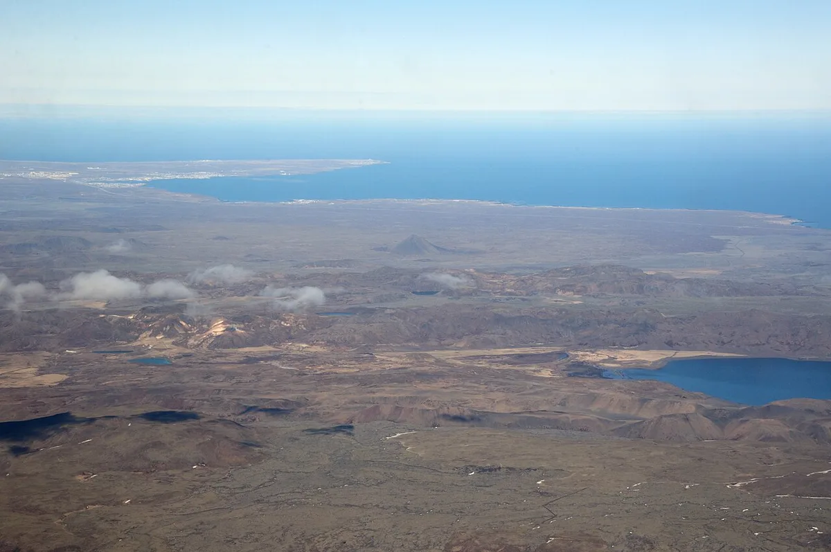
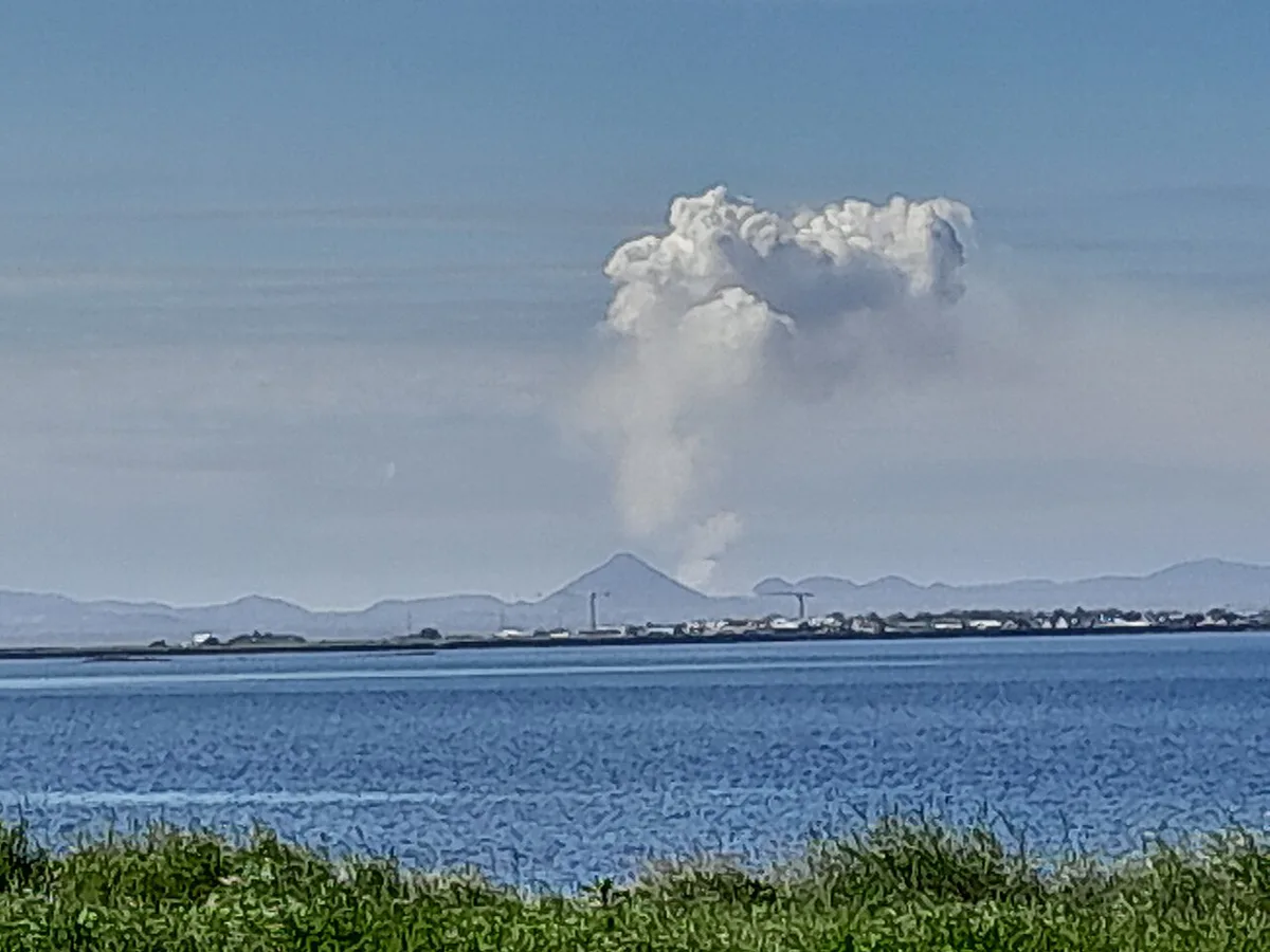
Three eruptions in three years reshaped the land around the Fagradalsfjall volcanic system. The first opened in 2021 in the Geldingadalir valley. A second followed in 2022 in the Meradalir valleys. Litli-Hrútur was the third. It opened on 10 July 2023 after thousands of earthquakes shook the Reykjanes Peninsula. Activity ended on 5 August 2023, so the eruption lasted a little under a month. Lava spread over previously undeveloped volcanic terrain and added another young lava field to the system. Our guide to the volcano type and fissure system explains why these eruptions come from cracks in the ground rather than a single classic cone.
Is Litli Hrutur still erupting? Current status and how to check
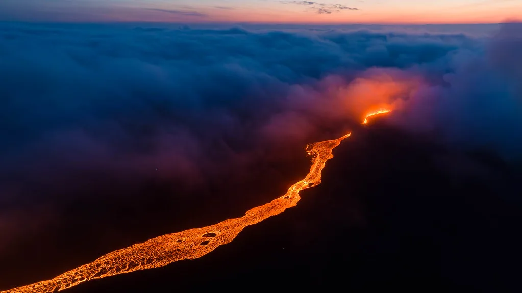
No. Litli-Hrútur is a finished eruption, and it ended on 5 August 2023. Steam and volcanic gas can still rise from the cooling lava field, so ‘dormant’ does not mean ‘risk free’. Gas pools in low valleys on calm days. Closures also change with weather and civil-protection decisions. We would never plan around a status we read last month. On the day, open SafeTravel Iceland’s closure pages. Then read the Icelandic Met Office gas dispersion forecast at vedur.is. Finally, look for police or Civil Protection notices about roads in the Suðurnes region. Keep this eruption separate from the active zone. Current hazard talk on the peninsula centres on the Sundhnúkur crater rows, north of Grindavík. Town access and road updates sit in our Grindavík access updates. Closures around the Svartsengi area belong to that same picture, not to the 2023 site. A closed road or police barrier is never something to bypass.
- Open the SafeTravel closure and trail pages on the morning you leave.
- Read the Met Office gas forecast for wind direction and calm-air warnings.
- Check road closure notices before you start the drive.
- Screenshot the official map, because mobile signal on the lava field can drop out.
- Ignore eruption-era rules you may read in older posts, such as the 18:00 closure time of 2023.
Is the Litli-Hrútur hike worth it? A go or skip guide
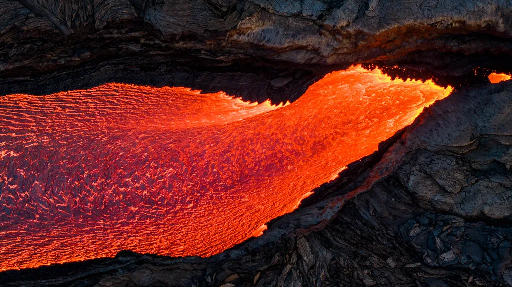
Our pick depends on your day. If you are fit, have 5–7 hours of walking time and settled weather, the walk is worth it for the scale of the young lava field. If daylight is short or strong wind is forecast, we would choose the shorter viewpoints near Fagradalsfjall and Geldingadalir instead. A guided volcano tour suits anyone who would rather not handle closures, parking and navigation alone. Skipping the walk and driving the wider Reykjanes lava landscape still fills a good half day.
A 2023 account puts the walk at about 3 hours each way, so check the official trail map before relying on the 5–7 hour total.
| Option | Effort | Time | Cost | Best for |
|---|---|---|---|---|
| Hike to Litli-Hrútur | High; loose gravel and ash | About 5–7 hours on foot (18–20 km, 11–12 miles round trip) | Parking fee, plus fuel or rental; amounts vary | Fit hikers with a full day |
| Easier Fagradalsfjall and Geldingadalir viewpoints | Low to moderate | Shorter; depends on the route open that day | Parking fee; amount varies | Families, short days, mixed fitness |
| Guided tour | Low to moderate; the guide sets the pace | Set by the operator | Varies by operator | Travelers without a car, or who want a guide |
| Skip and drive the Reykjanes lava landscape | Low | Flexible; half a day works | Fuel or rental only | Poor-weather days and tight schedules |
How to get there: driving and parking
From Keflavík Airport the drive takes roughly 30 minutes in normal weather. From Reykjavík, allow roughly 40 minutes. Both times are approximate and assume no road closure. Most drivers join Route 41 and head toward Grindavík on Route 43. They then reach the volcano car parks from the coastal road Route 427, called Suðurstrandarvegur. Follow current signs, because closures can reroute traffic. Park only in a marked car park. Verge parking on Route 427 is dangerous and illegal. Parking here has been paid through the Parka app with plate recognition. The operator, fee and the right lot for this route are best confirmed on the Visit Reykjanes pages. Wind on this coast can rip a car door out of your hand, so open it with both hands. Our notes on the geopark’s visitor sites add regional route context.
- Keflavík Airport to the car parks: roughly 30 minutes, approximate.
- Reykjavík to the car parks: roughly 40 minutes, approximate.
- Roads named on this approach: Route 41, Route 43 and Route 427.
- Never park on the road verge, even if the car park looks full.
The hike: route, time, terrain and what to carry
Distances vary by route and by year. Published guides give about 18–20 km (11–12 miles) round trip and 5–7 hours. Another listing gives a 3–5 hour visit, which fits a shorter route or a closer viewpoint. A 2023 account describes about 3 hours each way, on trails that changed from week to week. Route choice, trailhead, fitness and date all move the number. Use the figure on the official trail map the day you go. Route labels differ between sources, so we describe the walk generically here. Underfoot, expect gravel, ash and loose stone, especially on the final climb, where each step slides back. There is no shade, little shelter and no facilities along the way. For general preparation, read our volcano hiking basics. Below is a worked time budget from Keflavík Airport, using approximate times.
- Drive from Keflavík Airport: about 30 minutes each way.
- Walk out: about 3 hours at a steady pace.
- Time at the site: 45 minutes for photos and food.
- Walk back: about 2.5–3 hours.
- Buffer: 1 hour for wind, wrong turns and slow legs.
- Total: roughly 8–9 hours door to door, so start early.
- Turnaround rule: turn back when your remaining daylight equals the return walk plus the 1-hour buffer, whether or not you have reached the crater.
- Carry: boots with ankle support, windproof and waterproof layers, no cotton, a headlamp, water, food, a charged phone and a power bank.
Safety rules for volcanic sites
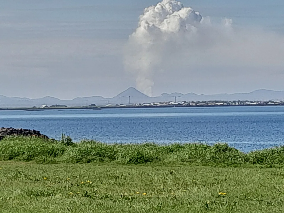
Volcanic ground stays unforgiving long after an eruption ends. Gas is the invisible hazard. If you feel a headache, dizziness or a sore throat, move to higher ground and leave. Lava edges can be thin over hollow channels, so never step onto the crust. Wind and cold arrive fast on an open lava field with no shelter. Tell someone your plan before you start. Rely only on official sources for closures and gas, not on blog posts or social media from the 2023 eruption.
- Never walk on lava edges, steaming ground or crater rims.
- Do not start late; the walk takes 5–7 hours in good conditions.
- Do not go alone in the last hours of daylight.
- Obey every sign, barrier and closure, without exception.
- Turn back in strong wind or poor visibility, even if the car park is open.
Do you need a 4×4, SAAP or special insurance?
Reports describe paved main roads on the way, with a gravel car park at the end. On that basis, we would not call a 4×4 essential in dry summer weather. Wind, winter ice and loose gravel do change the picture. Check road conditions on the day. SAAP covers sand and ash damage, and gravel protection covers stone chips. Both are optional add-ons that rental firms sell, and standard packages can exclude them. Read your own contract to see what it covers. A 4×4 does not make a closed road open and does not replace a closure check. We would put effort into the weather forecast before any insurance upgrade.
Guided tour or self-drive?
Both work, and the right one depends on your comfort with logistics. A tour handles parking, navigation and closures, but it runs to the operator’s schedule. Self-driving gives you the full 8–9 hour day on your own timing. Operator prices differ, so compare them directly before you book.
Keflavík Airport sits about 30 minutes away, so a 5–7 hour walk stretches to 8–9 hours door to door.
- Cost: self-drive means fuel or rental plus the parking fee; a tour is a single operator price that varies.
- Time: a tour follows a fixed schedule, while self-drive lets you choose your start and turnaround.
- Flexibility: you can abandon a self-drive walk at any point if the weather turns.
- Best for: tours suit visitors without a car, and self-drive suits confident hikers.
Combine it with other Reykjanes stops
Litli-Hrútur takes most of a day on foot, so we would not add stops around a full hike. On a driving day, pair the lava landscape with the Reykjanesviti lighthouse and the plate-boundary bridge. The Blue Lagoon and the volcanic zone sit in the active area, so check access before you plan around them. For official regional information, see the Reykjanes Geopark site. Check each stop’s current status first.
- Hike day: Litli-Hrútur only, 8–9 hours door to door.
- Short day: the easier Fagradalsfjall viewpoints plus the lighthouse at Reykjanesviti.
- Driving day: lava landscape by car, the plate-boundary bridge and the Blue Lagoon area, if each is open.
Choosing a season and start time
Litli-Hrútur is most realistic when you can give it a full daylight window. The hike is commonly estimated at 5–7 hours on foot. A self-drive day from Keflavík Airport can take roughly 8–9 hours door to door. That total includes the approximate 30-minute drive each way, food stops and a 1-hour buffer.
Start early whenever conditions allow. In winter, short daylight and rapidly changing weather make the long route a poor choice for anyone without a confident turnaround plan. Strong wind can slow progress across exposed gravel and ash. Low cloud can also make navigation harder on the lava field.
Before leaving, compare the official trail status with the weather and gas forecast. Take a headlamp even for a daytime start. Turn back when the remaining daylight equals your return walk plus the 1-hour buffer. Do not rely on an old eruption-era closing time.





