
Grindavík Iceland: Can You Visit Now? 2026 Guide
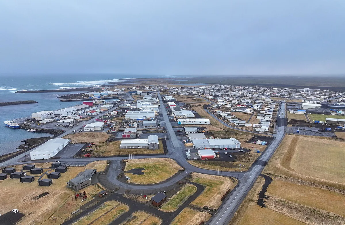
Last updated November 2026: Grindavik (Grindavík in Icelandic) is a fishing town on the southern Reykjanes coast, next to the Blue Lagoon and Svartsengi. It sits inside an active eruption zone, was evacuated on 10 November 2023, and has been only partly reopened since. Access depends on current official status, so the best first-time plan is a safe-viewpoint and coastal-sights loop rather than wandering town streets.
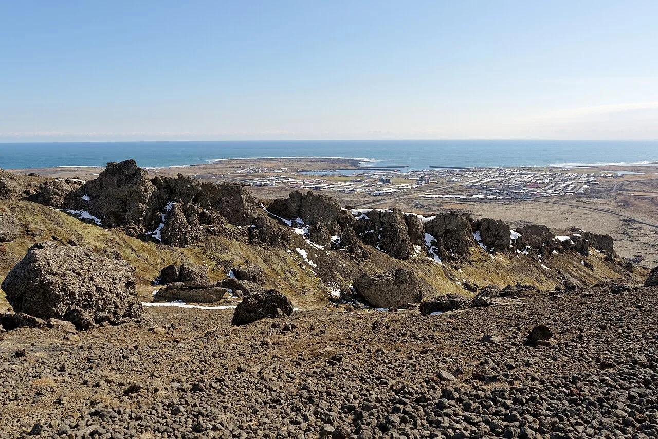
Featured image: Jakub Hałun, CC BY-SA 4.0, via Wikimedia Commons.
Is Grindavik Open to Visitors? (Check This First)
Short answer: partly, and only under current official conditions. Visit Reykjanes reports that Grindavík reopened to the public on Monday, 21 October 2024. Entry is monitored electronically so the town can be cleared quickly if an evacuation is ordered. Police in Suðurnes say anyone entering hazardous areas does so at their own risk. They also say Grindavík is not a safe place for children. Crevices have been filled or fenced, but open ground that was not fully inspected can still subside. Status last verified 22 November 2026, and it can change with little notice. SafeTravel Iceland is the first place to look on the morning you plan to drive.
| Source | What it tells you | When to look |
|---|---|---|
| SafeTravel.is | Road closures, hazard alerts, travel advice | Morning of your drive |
| Icelandic Met Office (vedur.is) | Seismic activity, eruption warnings, gas forecasts | Daily in the week before |
| Civil Protection and Suðurnes police | Access rules and evacuation orders | Before leaving Reykjavík or Keflavík |
| Municipality site (grindavik.is) | Local services and notices | While planning stops |
| Blue Lagoon status page | Whether the spa itself is open | Separately from the town check |
Where Grindavík Is and How to Get There
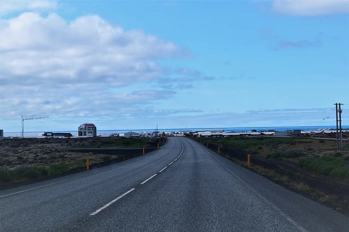
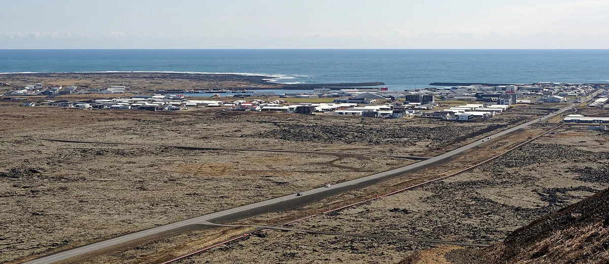
Grindavík stands on the far south-western part of the Reykjanes Peninsula, on a lava field. Published distances to Keflavík Airport range from about 15 miles (24.6 km) to 26 miles (42 km), depending on the start point and route. Reykjavík is roughly 31 to 32 miles (50 to 52 km) away, or about 50 minutes by car. From Reykjavík, follow Reykjanesbraut (road 41) out of the capital region. Then take the turn marked Grindavík and Blue Lagoon onto road 43, which passes the lagoon before entering town. A rental car is the dependable option. A scheduled bus to the town is not confirmed, so treat guided transfers as the car-free choice. Strong wind and winter ice make a guided tour the safer pick for nervous drivers. Roads close when hazards rise, so look at SafeTravel before you leave.
Best Things to Do in and Around Grindavík
Start with the coast and the geothermal sights, not the residential streets. Each stop below lists time, cost and fit. Anything inside town depends on current access.
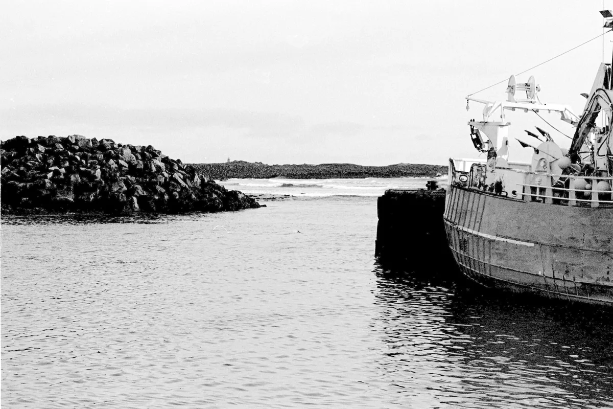
- Harbour and Hópsnesviti: Allow 30 to 45 minutes. Free. The lighthouse dates from 1928 and stands on a spit about 2 km (1.2 miles) long and 1 km wide. Stay on marked routes. Best for everyone, including first-timers.
- Kvikan and the Saltfish Museum: Allow about an hour. The museum opened in 2002 and fills a 650 square metre (7,000 sq ft) building with the story of salt cod. Entry cost and opening status are set by the venue. Best for history fans.
- Brimketill rock pool: Allow 20 minutes. Free. Waves have carved a lava-rock basin on the coast, and legend says the troll Oddný bathed there. View it from the platform only.
- Gunnuhver geothermal area: Allow 30 minutes. Free. Steam vents, mud pots and fumaroles. Stay on the boardwalks, because the ground is scalding.
- Reykjanesviti and the bridge: Allow an hour for both. The lighthouse stands beside Reykjanes Lighthouse and its coastal cliffs. The Leif the Lucky Bridge, built in 2002, crosses the Álfagjá rift valley between the Eurasian and North American plates, as covered in our guide to the bridge between the continents.
- Selatangar: Allow 1 to 2 hours. About 8.5 miles (14 km) from town, it holds ruins of a fishing station used from the 14th to the 19th century. Trail access near the eruption zone can change.
- Mt. Þorbjörn: A hike of about an hour to panoramic views of the peninsula. The mountain lies north of town, close to the eruption zone, so trails may be restricted.
- Swimming pool at Austurvegur 1: Two hot tubs, a sauna, a children's pool and a waterslide, per Visit Reykjanes. Opening status varies, so ask before you plan around it.
- New lava fields from safe viewpoints: Use designated viewpoints only. Fresh lava stays unstable long after an eruption ends.
Grindavík and the Volcanoes: What Happened 2023–2025
Seismic unrest north of town turned into a long eruption sequence along the Sundhnúkur crater row. Dates below follow Wikipedia's summary of Icelandic Met Office and Civil Protection reports.
- 25 October 2023: An earthquake swarm begins north of Grindavík. More than 22,000 quakes are recorded by 10 November.
- 10 November 2023: A state of emergency is declared and residents are ordered out that evening after a magma intrusion is suspected beneath town.
- 18 December 2023: An eruption near Hagafell, about 3 km (2 miles) north-east of town, threatens the Svartsengi power station.
- 14 January 2024: A fissure opens 450 m (0.28 miles) from town. Lava breaches defensive barriers and destroys three houses.
- 8 February 2024: Another eruption reaches the edge of town and destroys a few buildings. Residents may return on 20 February, then are evacuated again on 2 March.
- 16 March to 8 May 2024: A fourth eruption near the site of the first.
- 29 May to 22 June 2024: A fifth eruption, concentrated on one cone in the crater row close to the northern edge of town.
- 1 April and 16 July 2025: Further eruptions prompt more evacuations.
How Fissure Eruptions Work Here
Reykjanes sits where the Mid-Atlantic Ridge comes ashore and the North American and Eurasian plates pull apart. Magma rises through cracks and opens long fissures instead of building one tall cone. Each event peaks within hours, then either stops or narrows to a few vents. The same system produced earlier eruptions at Fagradalsfjall, in the Geldingadalir valley, and at Litli-Hrútur. Our explainer on what kind of volcano this is covers the mechanics. Eruption counts differ between sources. Guide to Iceland reports nine eruptions between December 2023 and August 2025. Visit Reykjanes reports six since December 2023 and nine since 2021. Icelandic Met Office releases are the authority for the official tally.
Blue Lagoon and Svartsengi Next Door
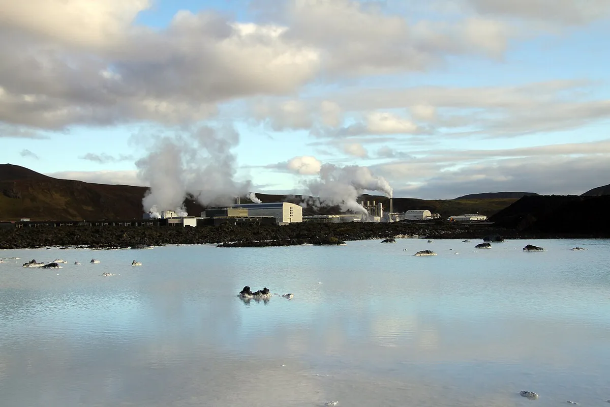
The Blue Lagoon lies about 5 to 6.3 km (3 to 4 miles) from town, inside the Svartsengi geothermal area. Its spa uses mineral-rich water from the nearby Svartsengi power station. The lagoon has been evacuated during eruptions, including on 16 July 2025. It can be open while the town is restricted, or the reverse. Treat the two statuses separately. The Blue Lagoon website carries its own opening notices. Our guide to the Blue Lagoon near the volcano explains the barriers and booking trade-offs. Also read HS Orka's Svartsengi page for background on the power station.
Visiting Responsibly in a Displaced Community
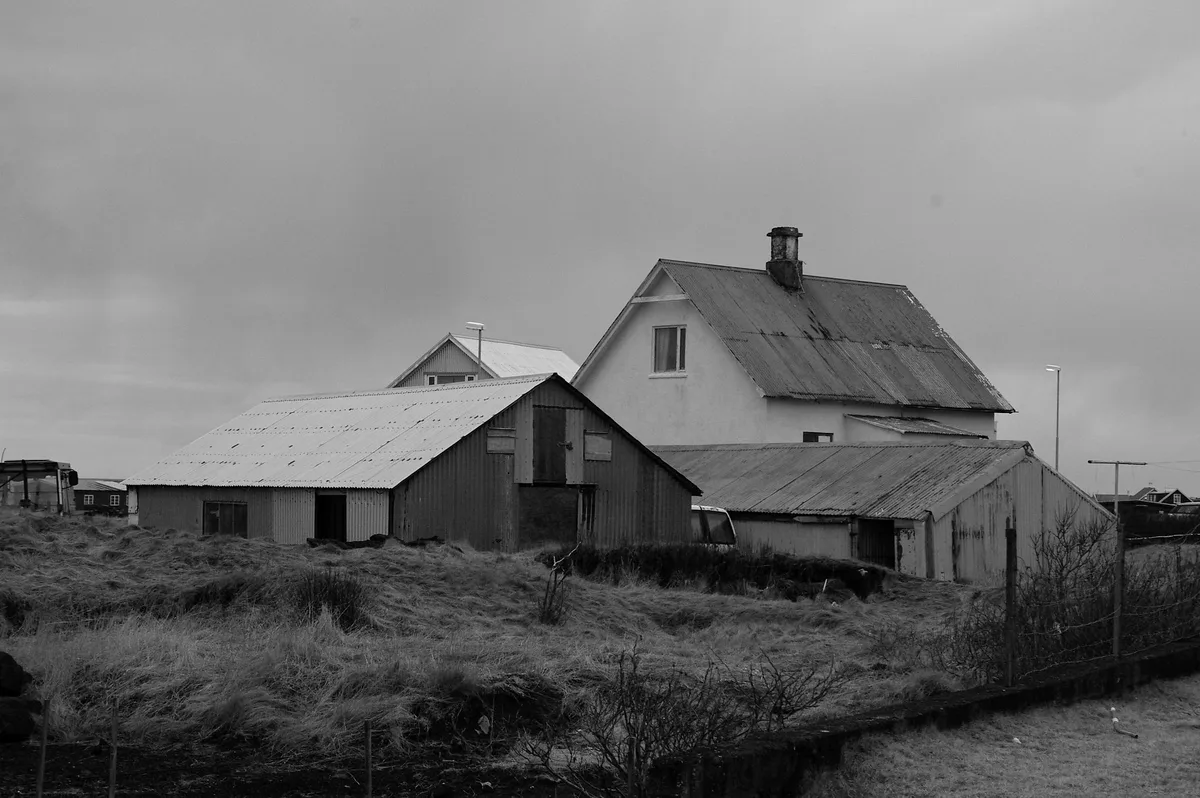
About 3,000 people lived here until 2023, and a January 2025 Vísir report put current residents near 100. Perlan cites 3,800 to 4,000 before the evacuation, so population figures vary by source. Real homes and workplaces sit behind every cracked street. Stay out of restricted zones and never step onto fresh lava, which stays hot and unstable underneath. Watch for gas pollution and ground cracks. Skip drones and photos of damaged houses. Spend money at businesses that are open, such as a harbour café or the local pizzeria. In an emergency, call 112.
| Traveler | Fit | Advice |
|---|---|---|
| First-timer with 1 day | Good | Coastal loop plus viewpoints |
| Geology fan | Very good | Pair viewpoints with the eruption timeline |
| Family with children | Poor | Police say the town is not for children; stay on the coast |
| Photographer | Good | Coast and lava fields; no damaged homes |
| Winter visitor | Conditional | Short daylight, wind and ice |
- Mistake: driving into town without checking status that day.
- Mistake: walking on fresh lava or crossing fences for a better photo.
- Mistake: trusting an old restaurant list.
- Mistake: assuming the Blue Lagoon's status is the town's status.
Plan Your Time: Half-Day, Full-Day, and Add-On Itineraries
Reykjavík is about 50 minutes each way, so even the shortest plan eats a morning. The wider Reykjanes Peninsula Travel Guide: Sights, Routes & Safety rewards a coastal loop. The Reykjanes UNESCO Global Geopark site lists the geology stops, and our geopark guide adds route ideas.
| Plan | Time | Driving | Cost level | Access risk | Best for |
|---|---|---|---|---|---|
| Drive-through and viewpoints | About 2 hours | Short loop | Low (fuel only) | Medium | Short layovers |
| Coastal loop: Hópsnes, Brimketill, Gunnuhver, Reykjanesviti | Half day | About 50 minutes each way from Reykjavík | Low | Low to medium | First-timers |
| Geopark sights plus Blue Lagoon | Full day | Same, plus lagoon transfer | High (spa entry) | Medium | Couples, geology fans |
Costs, Tours, and Booking Trade-Offs
Self-driving costs a rental car and fuel, and gives the most flexibility. Guided tours add transport and local guidance. Arctic Adventures lists a 5.5-hour Reykjanes lava fields and Grindavík afternoon tour from Reykjavík, and an 11-hour Golden Circle and Blue Lagoon day. Operators quote prices in several currencies, so read the current króna listing before booking. Prices and hours checked November 2026. For guided volcano hikes, see volcano hikes in Iceland. Eruption-area options are listed under Fagradalsfjall Tours: Which Volcano Hike Fits You. Tours near the eruption zone run only when conditions allow.
Where to Eat and Stay
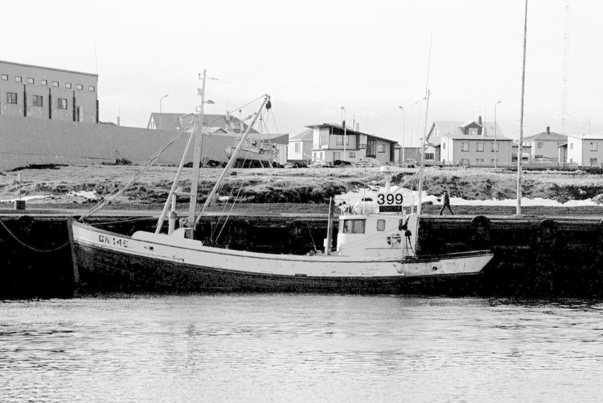
Open venues change, so treat this list as reported rather than guaranteed. Visit Reykjanes lists Papa's Pizza, Fish House Bar and Grill, Bruin Restaurant and Bryggjan, which it says is open daily from 11 to 16. Guide to Iceland says Papa's Pizza stayed open through the eruptions. Visit Reykjanes states that Hjá Höllu has closed in Grindavík and moved to Sandgerði with limited services. Arctic Adventures still lists it, so stale lists exist. For lodging, a Reykjavík or Keflavík base is the safer default. Blue Lagoon-area hotels and the campsite at Austurvegur 26 are other options. The campsite's reported season runs from 1 March to 30 November.
Grindavík in Winter and Other Seasons
Summer highs average 50 to 59°F (10 to 15°C), while winter hovers near 32°F (0°C). Wind and rain are common on this exposed coast. Winter adds short daylight, ice and snowstorms. Arctic Adventures says weather seldom closes the roads and restaurants stay open, but Guide to Iceland reports repeated closures from volcanic activity. Dark skies away from city lights give a chance of aurora on clear nights, though access limits and cloud can cancel a plan.
| Season | Weather | Daylight | Main risk |
|---|---|---|---|
| Summer | 50 to 59°F (10 to 15°C) | Long days | Eruption closures |
| Winter | About 32°F (0°C) | Short days | Wind, ice, snow |
Short History and Local Facts
Landnáma says settlers arrived around 934. Raiders took twelve Icelanders and three Danes in June 1627 in the event known as the Turkish Abductions. Einar Einarsson opened a shop in 1897, when the population was around 360. A channel dug through a reef in 1939 connected the Hópið harbour to the sea. Grindavík became a municipality in 1974. Sjóarinn Síkáti, the sailors' festival, is reported to fall on the first weekend of June. For regional context, see Visit Reykjanes.
Frequently Asked Questions
Why is Grindavík abandoned?
A magma intrusion beneath the town forced an evacuation on 10 November 2023. Later fissure eruptions damaged houses and roads, and ground cracks remain. Grindavík is not fully abandoned, but a January 2025 report put residents near 100.
Is there anything to see in Grindavík?
Yes, mostly on the coast. Hópsnesviti lighthouse, Brimketill, Gunnuhver and the harbour are the main stops. Selatangar and Mt. Þorbjörn depend on current trail access.





