Mount Vesuvius Map: Location, Trail and Getting There
Last updated November 2026. A Mount Vesuvius map puts the volcano on the Bay of Naples, inside Vesuvius National Park, with Naples, Pompeii, Herculaneum and Oplontis close around it. This page explains what each pin means and how to use the map to plan a visit. For the full overview, start with our Mount Vesuvius guide.
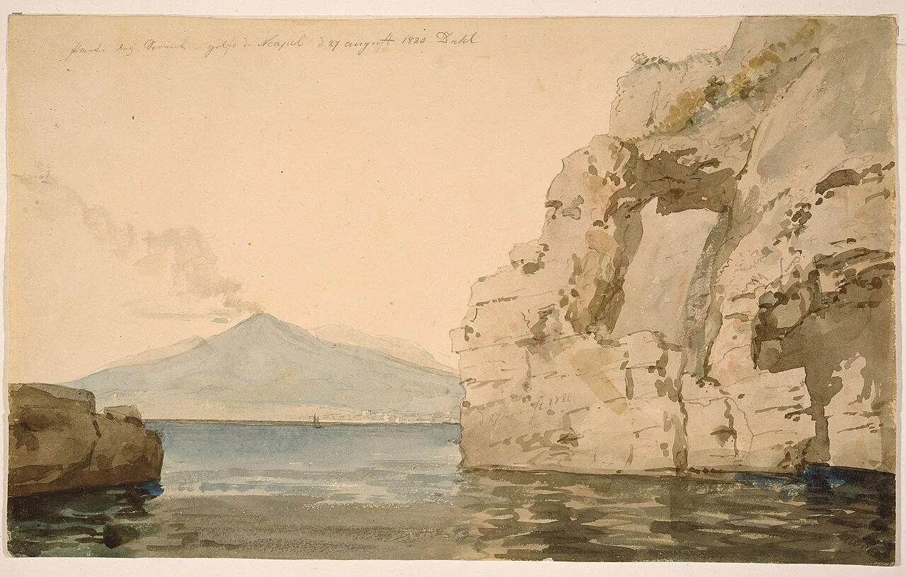
Featured image: Johan Christian Dahl, Public domain, via Wikimedia Commons.
Where Mount Vesuvius is on the map
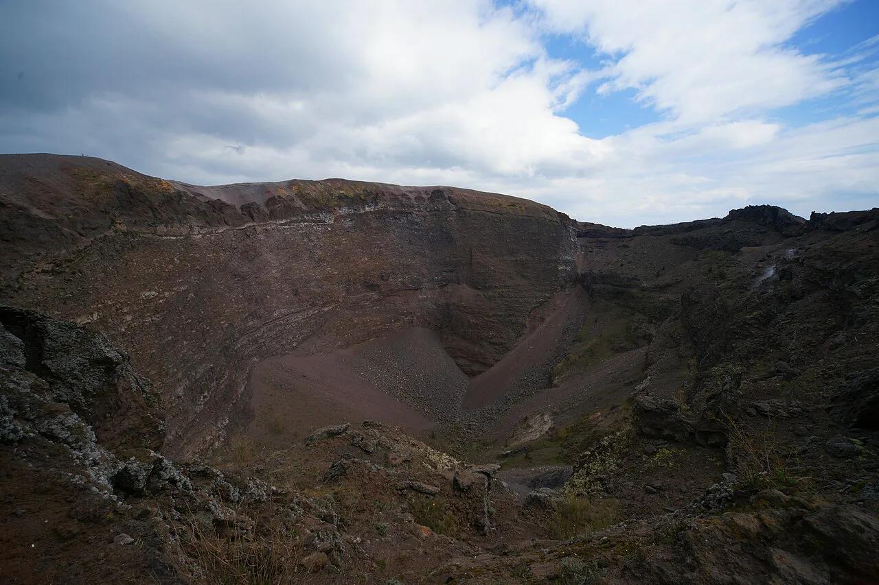
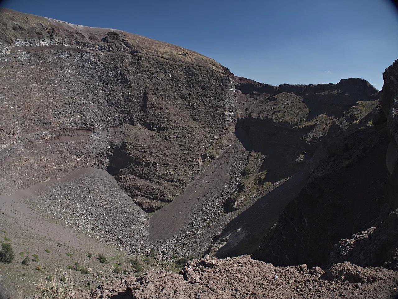
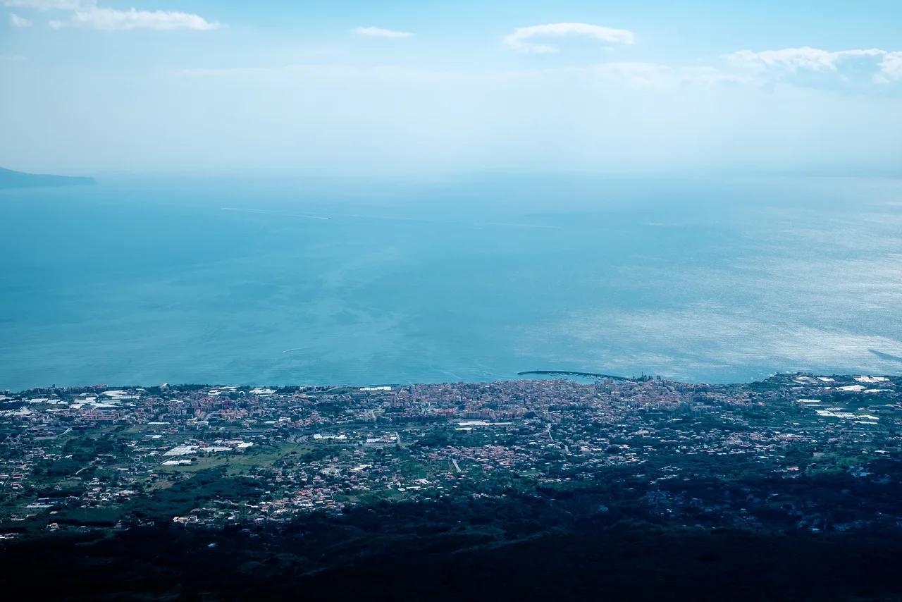
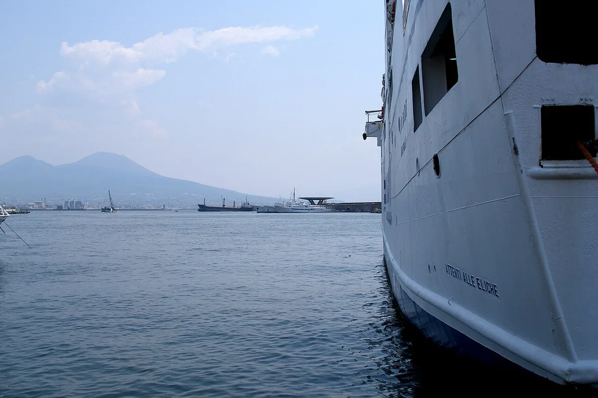
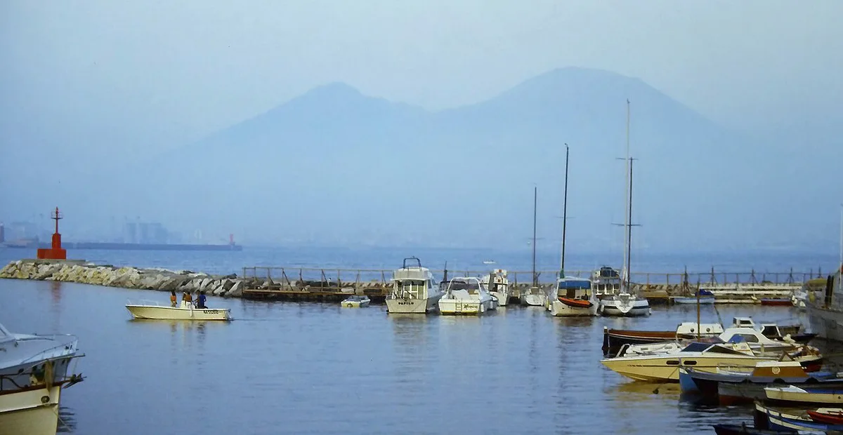
Vesuvius rises beside the Bay of Naples and sits within Vesuvius National Park. Naples lies on the same bay. Sorrento is across the water, so Vesuvius is a landmark you can often pick out from both sides. The mountain has two parts. Gran Cono is the cone that holds the crater, and Monte Somma is the older curved rim that wraps around it. Between them lies the Valle del Gigante, the shallow valley that shows up on any good relief map. Read the map in that order: bay first, then the two peaks, then the valley between them. The park's own national park website is the place to check current access details.
Key points to mark on your Vesuvius map

Pin only the places that decide how your day works. Each one below has its own page if you need detail.
| Map pin | What it is for |
|---|---|
| Summit crater | The rim path above Gran Cono. See the crater guide. |
| Quota 1000 car park | The roadside end of the route, where the crater trail begins. See parking details. |
| Observatory | The monitoring station on the slopes. See the observatory page. |
| Pompeii | The excavated city south-east of the bay, a common pairing with the volcano. |
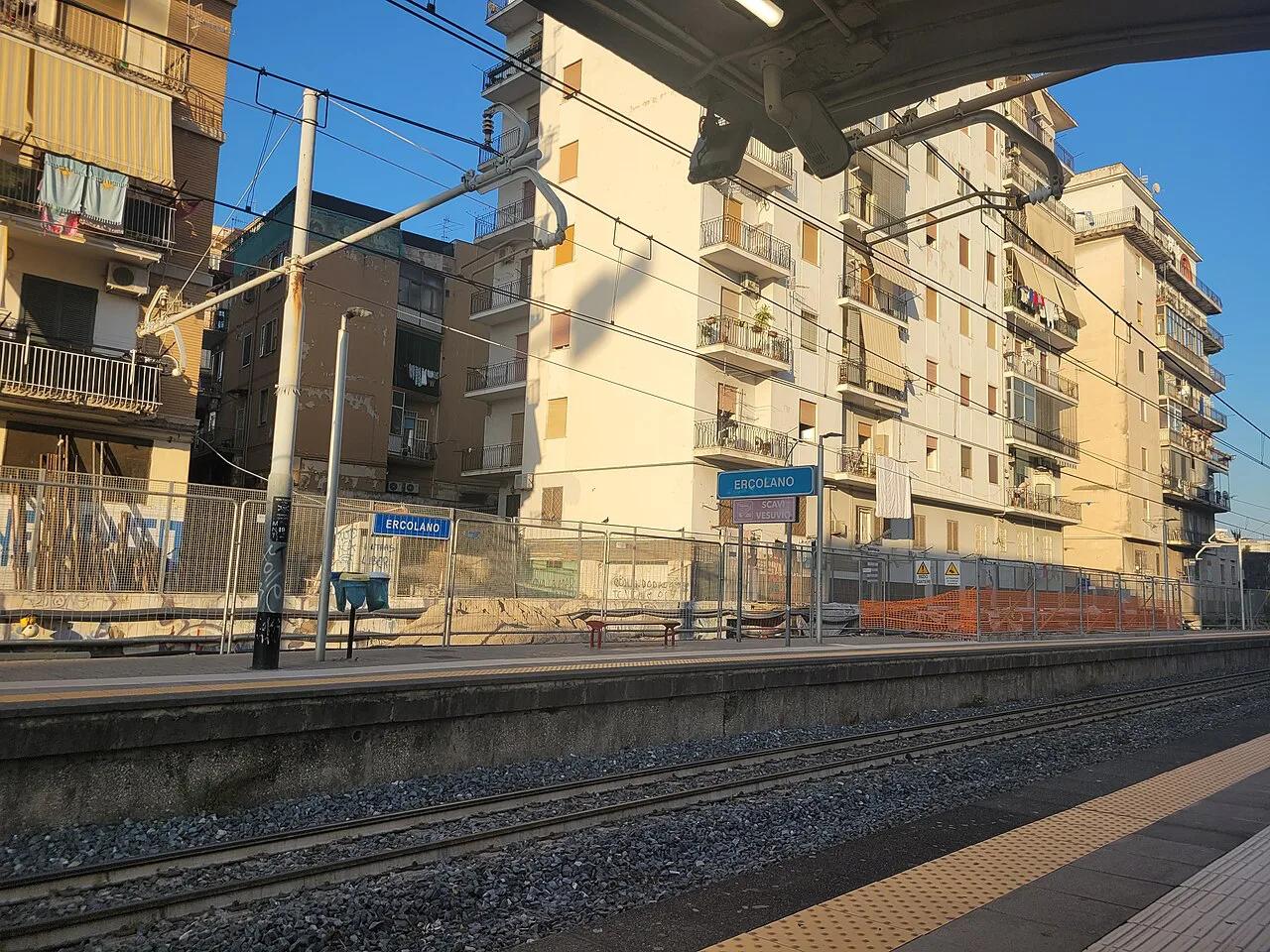
| Herculaneum (Ercolano) | The smaller buried town and the Ercolano approach to the mountain. |
| Oplontis | A Roman villa site at Torre Annunziata. See Oplontis. |
| Torre del Greco | The coastal town on the Torre del Greco approach. |
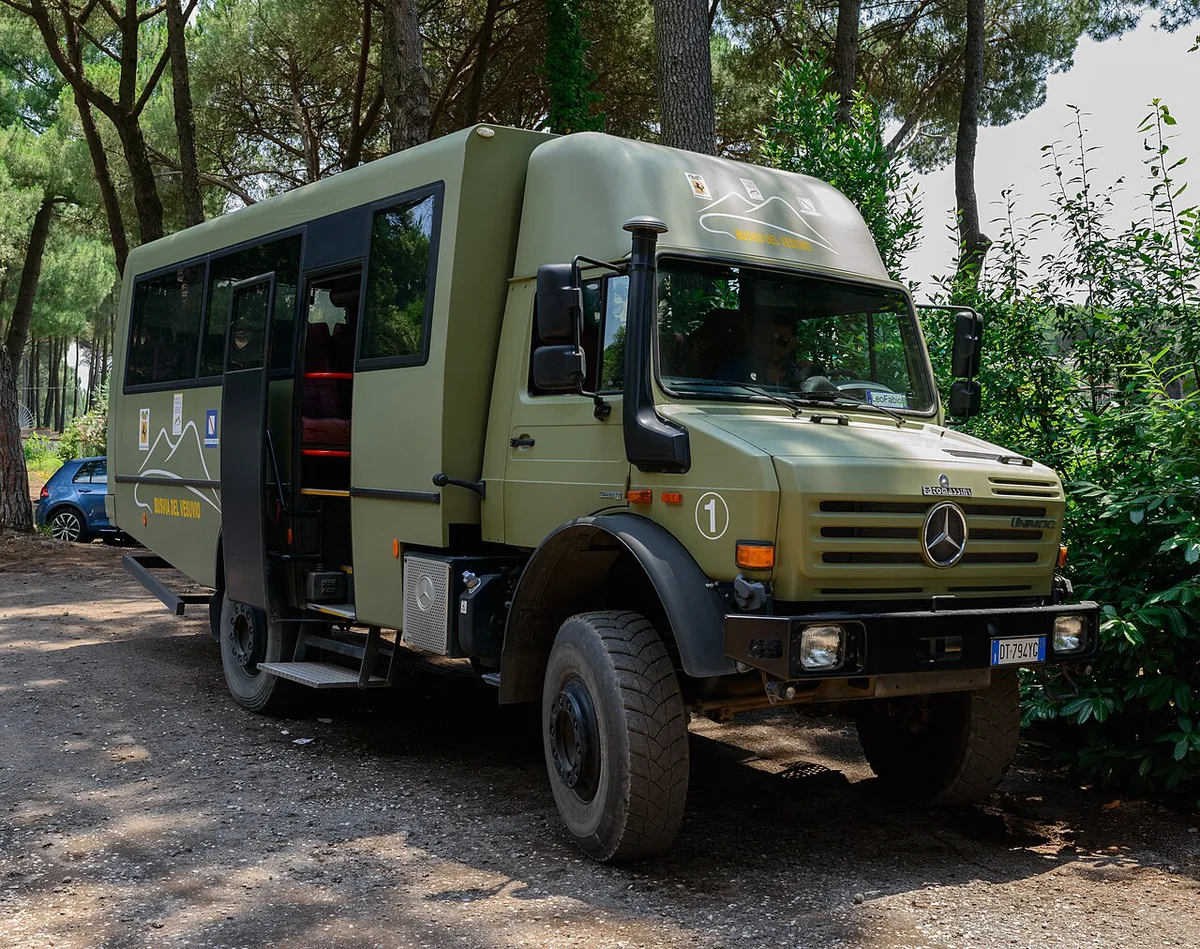
- Mark the crater trail separately from the car park, because the walk between them is the part people underestimate.
- Add the Ercolano and Torre del Greco approaches as road routes, not walking routes.
Distances and elevations to read off the Vesuvius map
A flat map hides the vertical scale, which is what decides how hard the day is. These approximate figures help you judge what each pin means on the ground. Treat them as planning guides and check the park site for current trail details.
| Measure | Approximate figure | Why it matters |
|---|---|---|
| Summit height (Gran Cono) | About 1,281 m | The highest point on the rim, usually quoted in Vesuvius facts |
| Quota 1000 car park | About 1,000 m above sea level | The name is the altitude, so the road does most of the climbing |
| Car park to crater rim | Under 1 km on foot, uphill | Short on the map, but steep and loose underfoot |
| Naples centre to the volcano | Roughly 10 km in a straight line | Road distance and transfer time are longer than the line suggests |
Use the straight-line distance only to understand the geography. Road routes wind around the slopes, and on a busy day the last leg uphill can take longer than the walk itself.
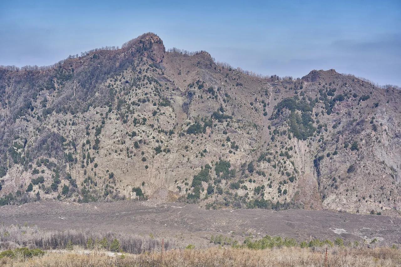
On a relief or terrain layer, look for two things. The first is the steep outer slope of Gran Cono, where the trail zigzags. The second is the lower, older Monte Somma ridge to the north, which shows why the summit views open toward the bay on one side and the ridge on the other.
How to get to the trailhead from each base
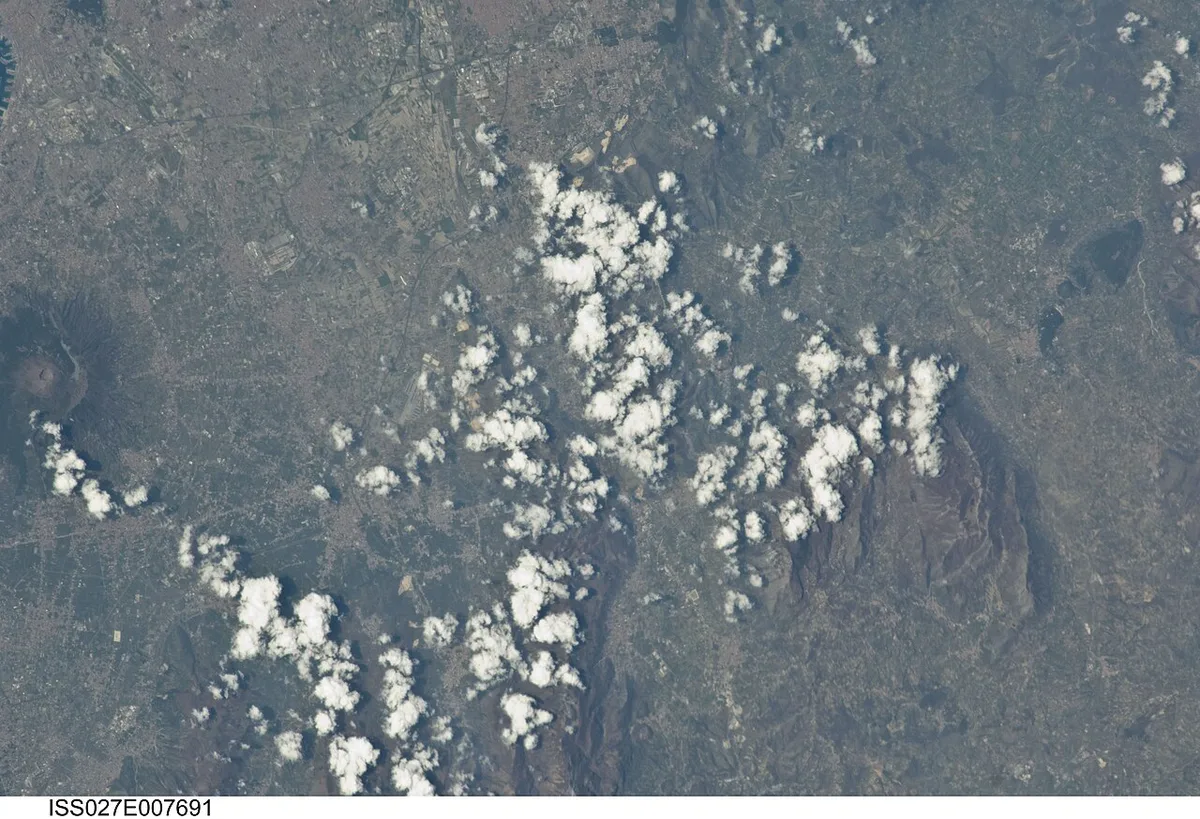
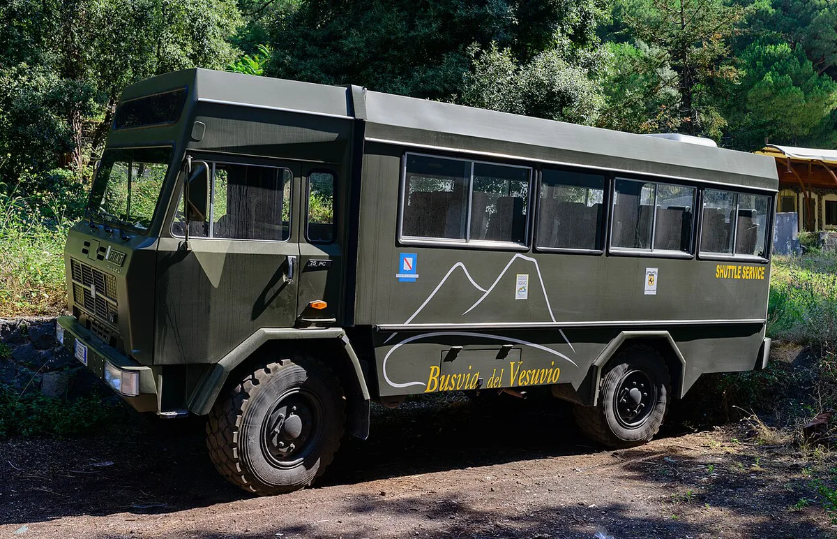
The last leg to Quota 1000 usually needs a car, taxi, shuttle or organised tour. Public transport alone rarely reaches the trailhead. Operators and schedules change, so check the park site and the Circumvesuviana operator for rail connections. Each base has a dedicated route page.
Quota 1000 car park marks where the last-leg transfer usually ends, and the crater trail begins there, so plan that walk separately.
| Base | Typical approach | Main friction | Best for |
|---|---|---|---|
| Naples | Rail or road toward Ercolano, then a transfer uphill. See Vesuvius from Naples. | Transfer to the trailhead | Easiest day trip |
| Pompeii | Short hop around the volcano. See Vesuvius from Pompeii. | Connecting the last leg | Pairing ruins and summit |
| Sorrento | Rail along the bay plus a transfer. See Vesuvius from Sorrento. | Long day, several changes | Travelers staying on the peninsula |
| Rome | Long transfer south. See Vesuvius from Rome. | Total travel time | Organised tours |
| Amalfi Coast | Road or boat plus onward transfer. See from the Amalfi Coast. | Winding roads, long day | Guided excursions |
Reading the hazard zones: the red zone
Vesuvius is an active volcano, and Italy's civil protection authorities define a red zone, the zona rossa, around it. It marks the area that would be evacuated first in an emergency. Several towns on the lower slopes lie inside it. The current boundaries are published by Italian civil protection. Our red zone guide explains it in plain language. Vesuvius is monitored continuously by the Osservatorio Vesuviano, part of INGV. For the volcano's present status, read whether Vesuvius is still active.

Other Italian volcano maps to compare with Vesuvius
Vesuvius is not the only volcanic hazard on the Bay of Naples, and a map of the whole area makes that clear. The Phlegraean Fields (Campi Flegrei) lie west of Naples, so a regional map shows a volcanic landscape on both sides of the city. Our Campi Flegrei map shows how that system differs, and Campi Flegrei vs Vesuvius compares the two side by side.
If you are planning a longer volcano trip in Italy, Sicily has the other major destination. Our Mount Etna map sets out its craters and access points, and Etna vs Vesuvius helps you choose between them.
- Vesuvius: a single cone beside the bay, easy to combine with Pompeii and Herculaneum.
- Campi Flegrei: a wide caldera with many small vents, west of Naples.
- Etna: a much larger mountain with several summit areas and a more complex access pattern.
Keep each volcano on its own map layer when you plan. Mixing them in one view makes the distances look short, and the transfers between them are not.
Plan the summit visit: tickets, timing and weather
Use the map to choose your base, then check the practical rules. Ticket requirements, opening times and trail status change, so confirm them on the park site before booking transport. Our ticket guide covers the booking side. Cloud and wind can hide the crater views completely. Look at the Vesuvius weather page on the morning you go. If your dates are flexible, the best time to visit helps you pick. The path is loose and dusty, so wear sturdy shoes. Our hiking guide covers the walk itself.
- Mistake to avoid: assuming public transport reaches the summit.
- Mistake to avoid: skipping the weather and visibility check.
- Mistake to avoid: assuming last year's trail rules still apply.
- Who should skip the summit: travelers with limited mobility, a tight schedule or a cloud-covered forecast. Pompeii or Herculaneum is the better use of that day.
Combining Vesuvius with Pompeii, Herculaneum and Oplontis
A one-day plan works best with two stops, not four. In our editorial judgement, the summit suits the morning, when the air is cooler and cloud often lifts later. Pompeii then fills the afternoon, though its open ruins can be tiring in summer heat. Herculaneum is smaller and easier to fit in. Oplontis is a short stop if you have energy left. A ready-made Pompeii and Vesuvius Tour: Which Option Fits? removes the transfer planning. Independent travelers can compare organised Vesuvius tours against self-guided options. Tours trade flexibility for fewer logistics, while independent travel gives more time at each stop.
Historical maps of the 79 AD eruption
A second kind of Vesuvius map shows the 79 AD ash fall across the bay. These maps are usually produced by researchers and museums. The Pompeii Archaeological Park and the National Archaeological Museum of Naples are reliable starting points. Vintage and book-themed maps also circulate online, but treat them as illustrations. The eruption itself is covered in our 79 AD guide.
Frequently Asked Questions
Where is the Vesuvius volcano located?
Vesuvius stands beside the Bay of Naples in southern Italy, within Vesuvius National Park. Naples, Herculaneum, Pompeii and Oplontis all lie around its base.
Can I visit Mount Vesuvius?
Yes, visitors can walk the crater trail from the Quota 1000 car park. Access rules and tickets change, so check the park website before you travel.
What town was buried by Mount Vesuvius?
Pompeii is the best-known town buried in the 79 AD eruption. Herculaneum and the villa at Oplontis were also buried.