Mount Etna Map: Sides, Roads, Trails & Access Points
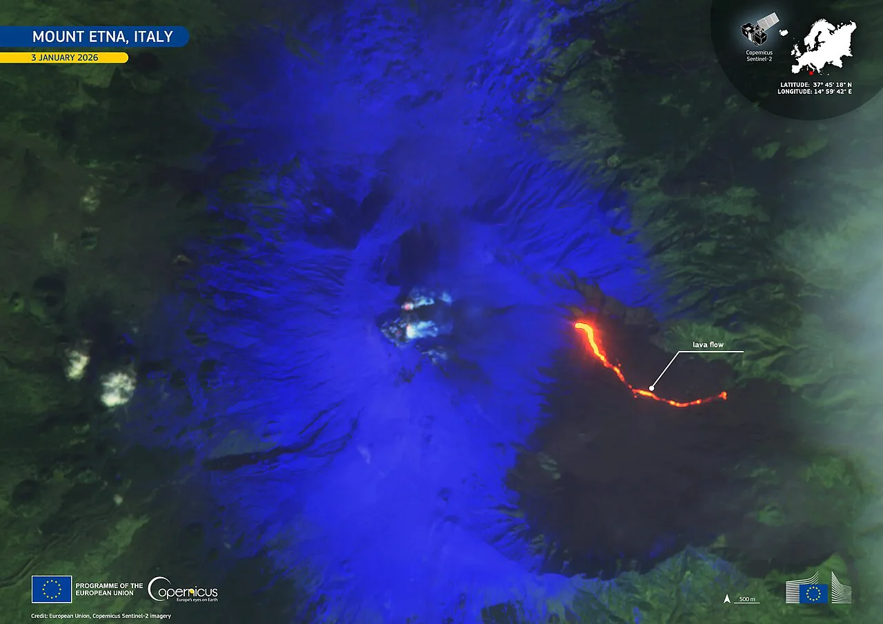
Last updated November 2026. This Mount Etna map guide starts with the basics: Etna rises on Sicily's east coast above Catania, and visitors reach it from a south side and a north side. The south side runs through Nicolosi and Rifugio Sapienza, while the north side runs through Linguaglossa and Piano Provenzana. Our complete Mount Etna guide covers the volcano itself, and this page shows how to read the layout.
Featured image: Cayambe, CC BY 4.0, via Wikimedia Commons.
Mount Etna Map at a Glance
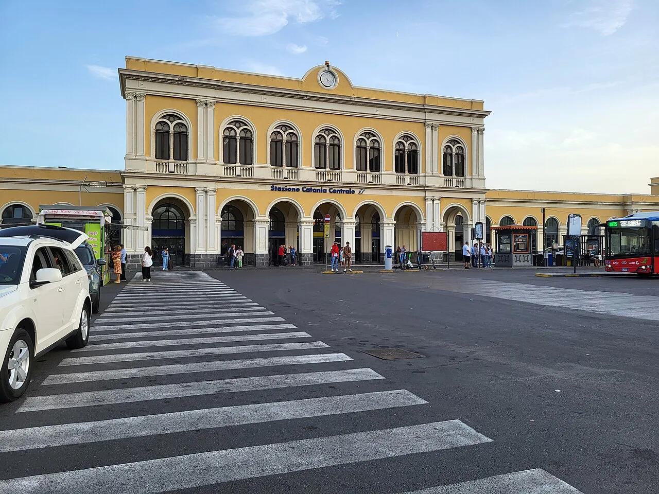
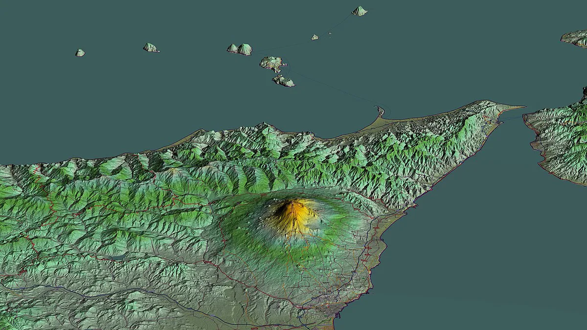
Etna fills most of the coast between Catania and the Ionian Sea. Catania sits at the southern foot, and the lower slopes are ringed by towns. Roads climb from those towns to a few mid-slope stations, and above them the terrain is lava, ash and guided routes. A topographic tool for the area spans 144 m (472 ft) at its lowest point to 3,312 m (10,866 ft) at its highest. Those figures describe the map's bounding box, not an official summit height. Summit elevation changes with eruptions, so use INGV Osservatorio Etneo for a current figure. Pin these points first:
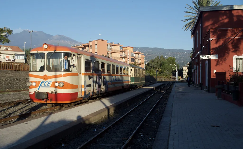
- Catania: the main city and airport base at the southern foot.
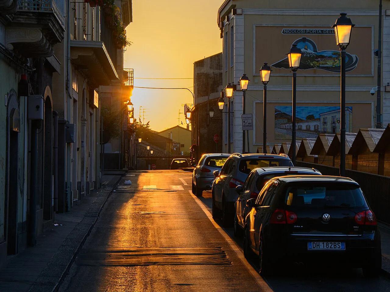
- Nicolosi: the south-side town on the road up to the mountain.
- Rifugio Sapienza: the south-side hub where the paved road ends.
- Linguaglossa: the north-side town below the second access point.
- Piano Provenzana: the north-side hub for the upper slopes.
- Valle del Bove: the huge hollow on the eastern flank.
- Circumetnea railway: the line that rings the lower mountain.
How to Read the Map: Zones and Elevation
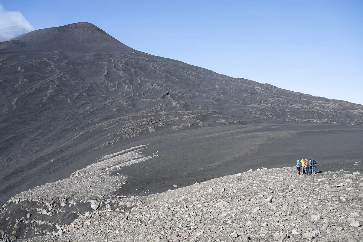
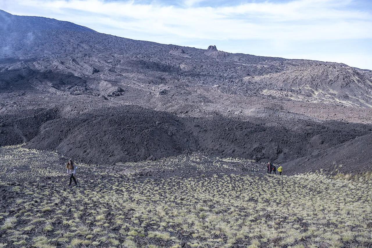
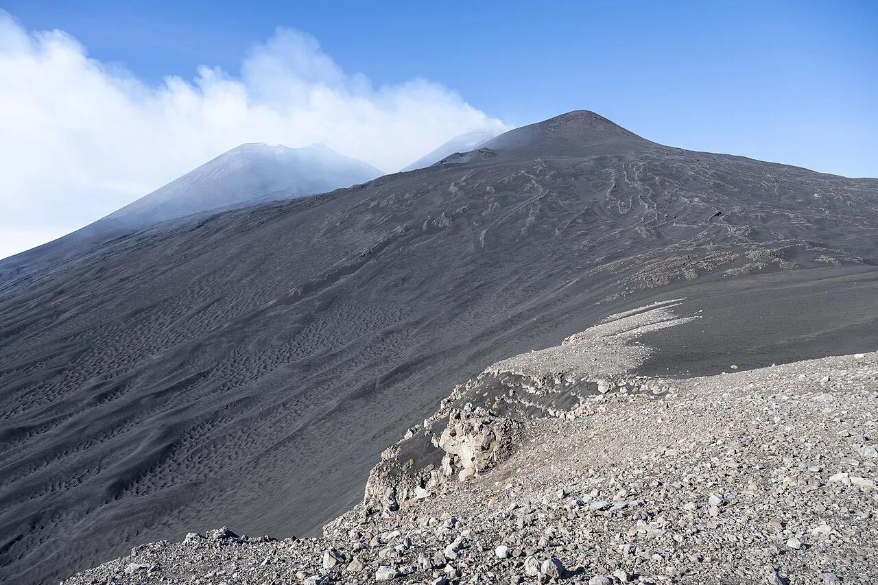
Read Etna in three bands. The base band holds the towns, roads and farmland. The middle band holds the road-accessible stations, such as Rifugio Sapienza and Piano Provenzana. The upper band holds the craters and is where access rules matter most. Roads end at the stations. Beyond them you move by cable car, 4x4 transfer or on foot, and the highest terrain is generally guided-only. Summit-area access depends on current rules and volcanic activity, so check the Parco dell'Etna authority before you plan a route. For features, our pages on the summit craters and the Silvestri Craters, Etna: Walk, Access & Tips show what sits at each level. A separate page explains the Valle del Bove, Etna: How to See It and Stay Safe hollow on the eastern flank.
South Side vs North Side on the Map
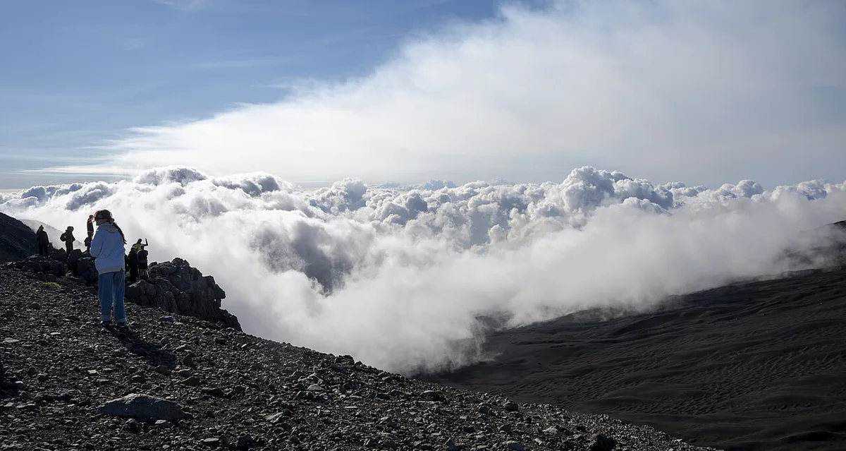
The two sides differ in road, base town and character. South is the busier, more developed approach. North is quieter and more wooded. Our north versus south comparison goes deeper. Fares, hours and schedules change, so take them from the operator's own pages.
| Side | Access point | Base town | What it offers | Suits | Trade-offs |
|---|---|---|---|---|---|
| South | Rifugio Sapienza | Nicolosi | Cable car and 4x4 stages toward the upper slopes | First-time visitors, short visits | Busier, more developed |
| North | Piano Provenzana | Linguaglossa | Forest edges, trails and winter skiing | Hikers, quieter days | Longer transfer from Catania |
- South side: start with Rifugio Sapienza, Etna: Cable Car, Jeep & Silvestri Craters Guide, the road's end.
- South side: Nicolosi is the town you pass on the way up.
- South side: the Etna cable car climbs from the hub.
- North side: Piano Provenzana: Etna North Side Access and Seasons is the upper station.
- North side: Linguaglossa is the base town below it.
Getting to Etna from Key Starting Points
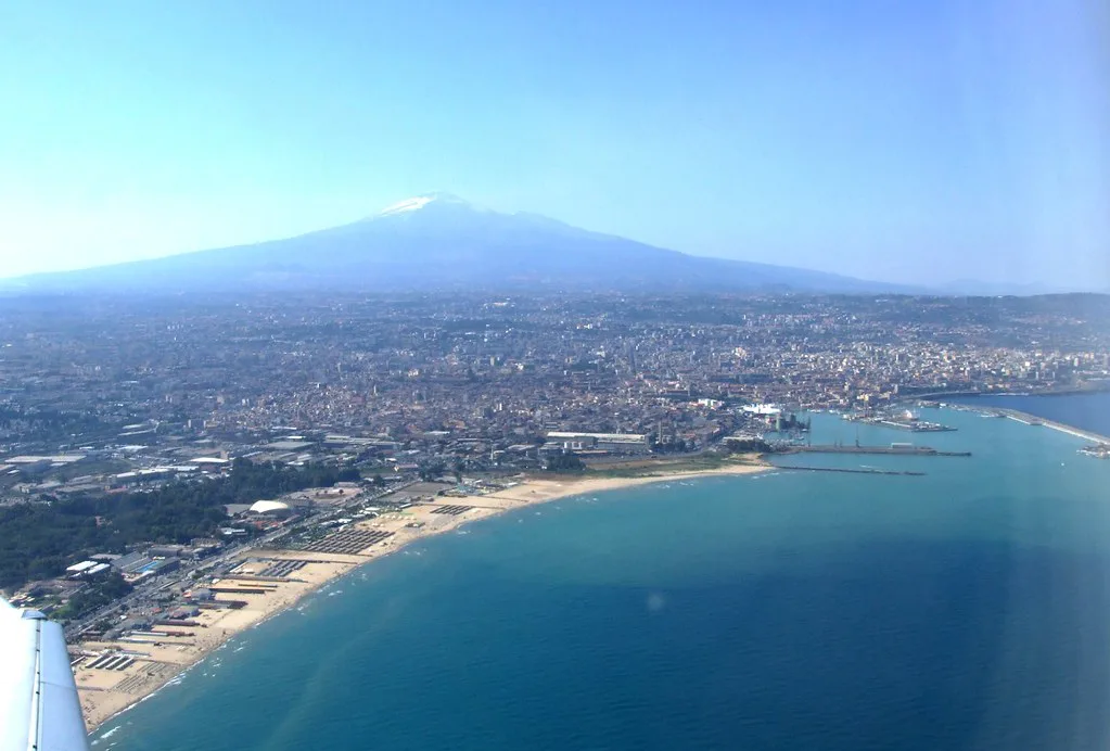
Mountain driving takes longer than the distance on the map suggests. Bends, traffic in the towns and the climb to the stations all add time. Catania is the closest starting point. Our guide to getting from Catania to Etna compares car, bus and tour options. From farther away, the day is longer. Read about reaching Etna from Syracuse if you are based on the southeast coast. Read about reaching Etna from Palermo if you are crossing the island. Rail travellers can also use the Circumetnea Railway: Route, Current Service Status & Tickets (2026 Guide), which rings the lower mountain and links the towns rather than climbing to the craters.
Which Side and Which Activity?
Choose the side by goal, then check who should skip each option.
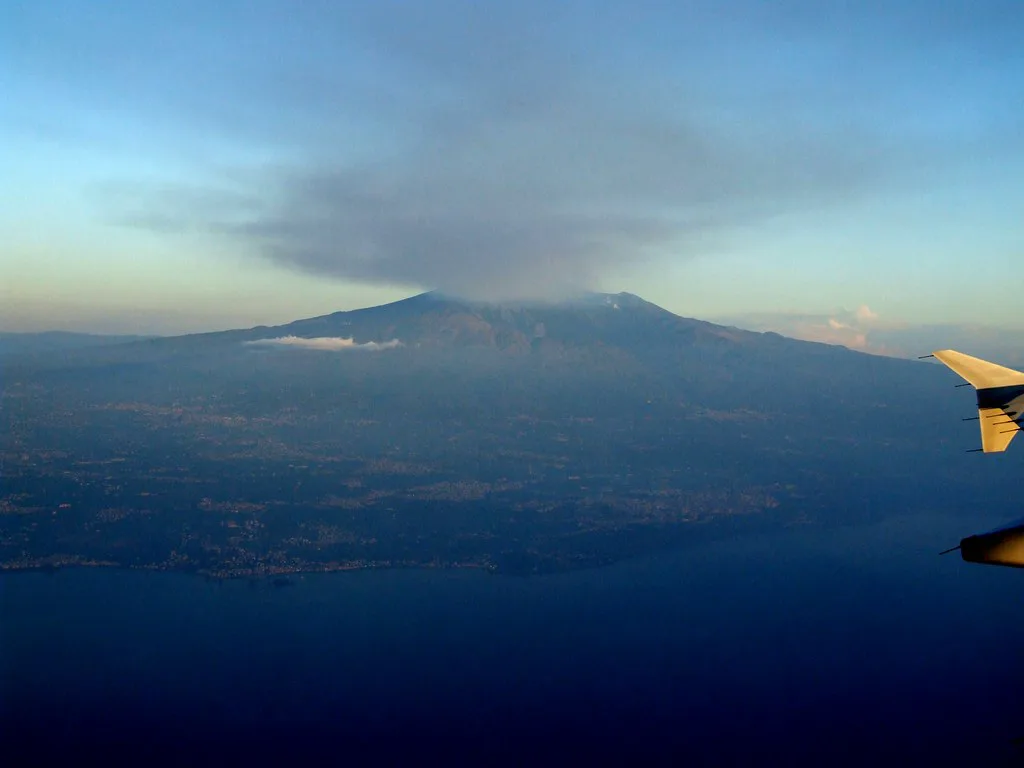
- Short visit: south side. Skip it if you dislike crowds.
- Summit area: south or north, with a guide. Skip it if you want to walk alone; see our Etna tours page.
- Hiking: the Etna hiking guide covers routes. Skip long routes in poor visibility.
- Lava caves: visit Grotta dei Lamponi, Etna: Lava Tube Access & Hike Guide. Skip it if you dislike enclosed spaces.
- Skiing: see Etna skiing. Skip it outside winter.
- Jeep tour: see the Etna jeep tour page. Skip it if rough tracks upset you.
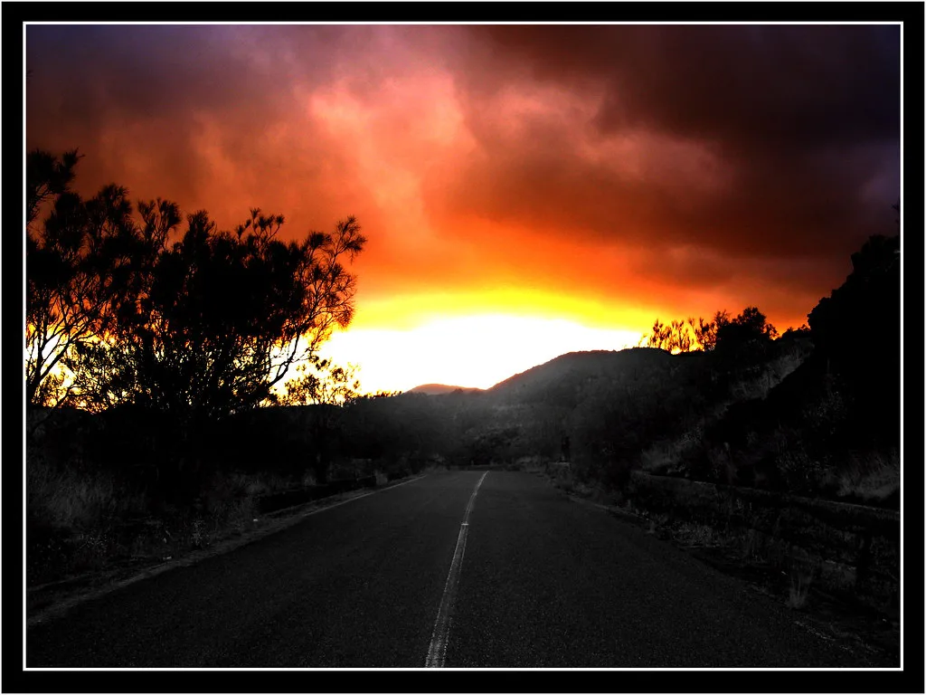
- Sunset: read about the sunset tour. Skip it if you dislike cold evenings on the mountain.
- Helicopter: see the Etna helicopter tour. Skip it if cost or motion sickness is a concern.
Other Places to Pin on Your Etna Map
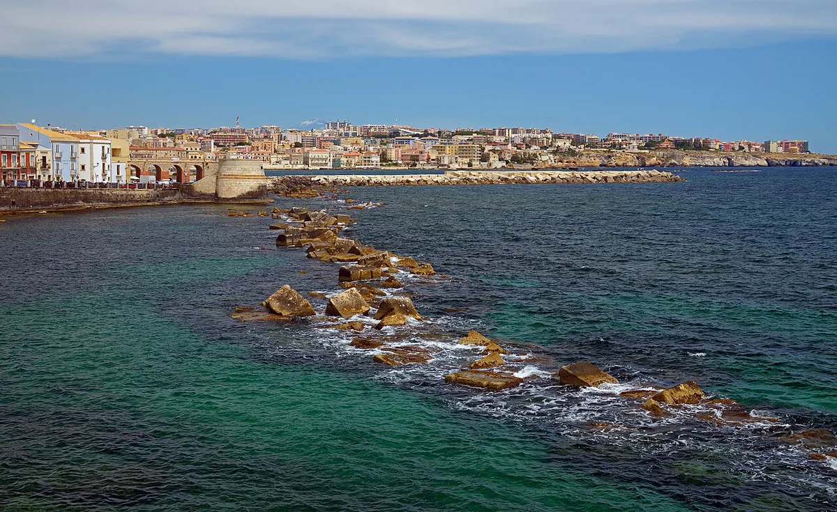
Etna's lower slopes hold sights that need no climb. The Alcantara Gorge Guide: Access, Timing and Tips is a river gorge near the mountain. Zafferana Etnea Guide: What to Do, Honey & Etna Views is a town on the eastern slope. Monti Rossi, Etna: Walk, Craters and Adventure Park Guide is a pair of cones above Nicolosi. For history, the 1669 eruption shows how far lava can travel. Older flows are mapped too. About 1030, a flow from near Monte Ilice on the southeast flank travelled about 10 km (6 miles) and reached the sea north of Acireale. Our page on Etna lava flows shows where lava has reached the coast.
Old lava can reach far from the craters: one flow covered 10 km (6 miles), so the lava-flows page belongs beside your map.
Safety, Closures and Current Conditions
Access zones change with activity. Before you travel, check status from INGV Osservatorio Etneo, the official monitoring body. Read whether Etna is active for context. Watch the Etna webcam for live views. Plan around the mountain weather, which can differ sharply from the coast. For background on activity, see our page on Etna eruptions. Avoid these mistakes:
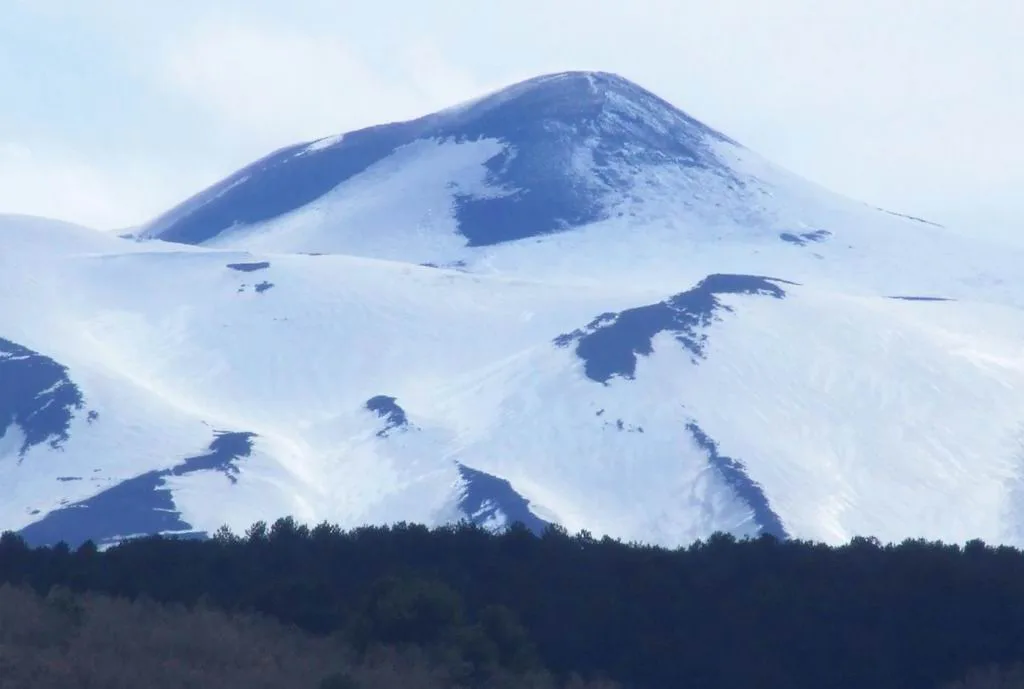
- Assuming all of Etna is reachable by road.
- Ignoring weather and volcanic status.
- Expecting summit access without a guide.
- Wearing unsuitable footwear for lava ground.
- Underestimating the time to cross the mountain.
Maps to Download and Use Offline
Mobile signal on the upper slopes can be unreliable, so save a map before you leave the towns. Start with official maps from the Parco dell'Etna, which sets the access rules. A topographic tool such as topographic-map.com shows contours and elevation. Treat it as a reference for terrain, not as an authority on trails or closures. Download your chosen map on Wi-Fi in Catania or Nicolosi, then check that it opens without a connection.
Next Steps
Return to the Mount Etna overview for the full picture. Pick your dates with our guide to the best time to visit Etna. Browse hotels near Etna to choose a base. Keep the Etna facts page handy for quick reference.
Frequently Asked Questions
Can you go to Mt Etna?
Yes, visitors reach Etna from a south side and a north side. Roads end at stations such as Rifugio Sapienza and Piano Provenzana. Higher terrain depends on current rules and activity, so check the park authority first.
What level of alert is Etna today?
Alert levels change with volcanic activity. Check the latest status from INGV Osservatorio Etneo before you travel. The Etna webcam gives a live view of the summit.