Campi Flegrei Map: Where Sites Are & How to Visit
Last updated November 2026. A Campi Flegrei map shows a caldera west of Naples, not a single attraction, and its visitor sites fall into three separate zones. Use the map to choose a zone first and sites second. Our Campi Flegrei guide covers the wider picture.
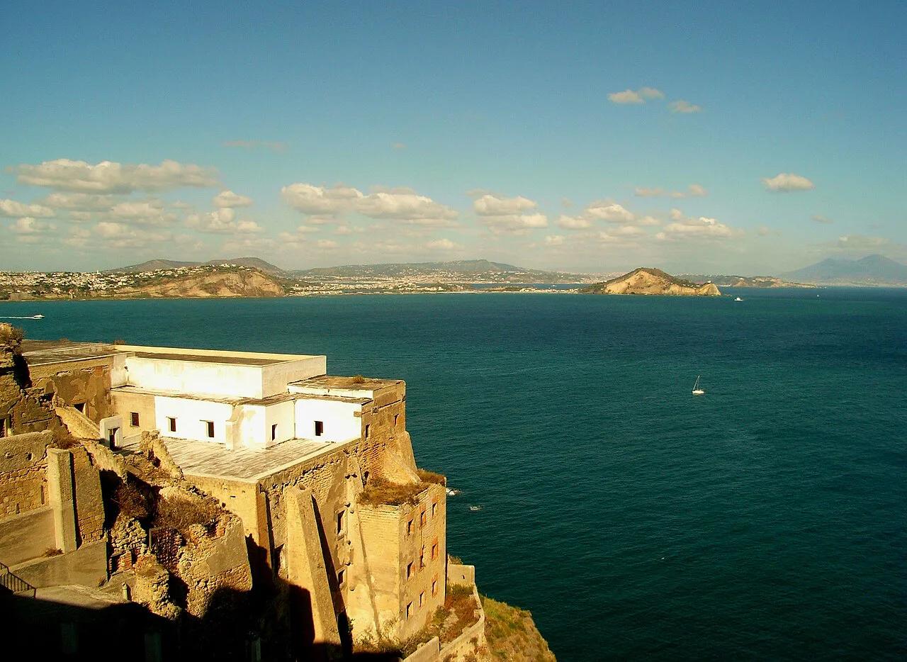
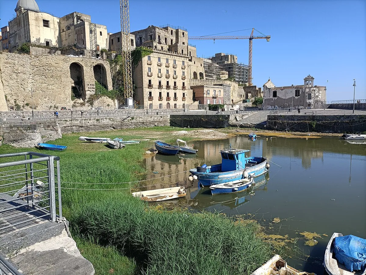
Featured image: daryl_mitchell, CC BY-SA 2.0, via Flickr.
Where the Campi Flegrei Sit on the Map
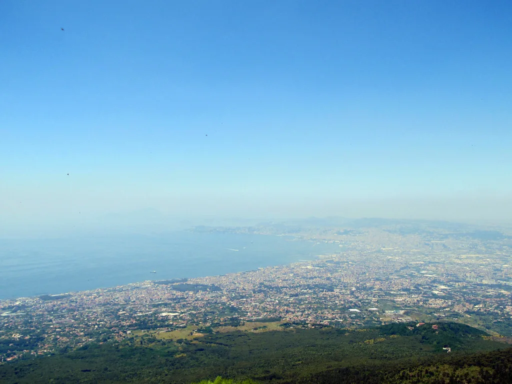
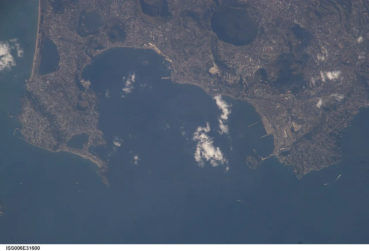
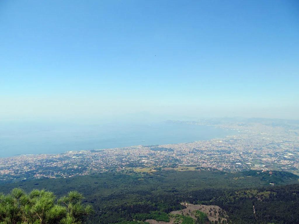
Campi Flegrei, also called the Phlegraean Fields, is an active volcanic caldera west of Naples. It belongs to the Campanian Volcanic Province, which also includes Vesuvius and Ischia. The caldera spans roughly 12–15 km across and holds more than 24 eruptive centers. Those centers include tuff rings, tuff cones, lava domes and maars. Pozzuoli sits on the Gulf of Pozzuoli. Baia, Bacoli and Capo Miseno form the western coastal stretch. Cumae and Lake Avernus lie furthest out. For a side-by-side with the mountain near Naples, read Campi Flegrei versus Vesuvius. Our explainer on what type of volcano this is covers the caldera itself.
The Three Visitor Zones at a Glance
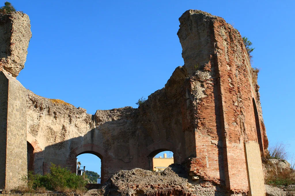
Treat the area as three zones rather than one destination. Sites inside a zone sit close together, while the zones themselves sit far apart. Pick one or two zones per day.
A caldera 12–15 km across still splits into three zones, so pick one or two zones per day rather than a whole-caldera loop.
| Zone | Main sites | Best for | Needs a car? | Check before going |
|---|---|---|---|---|
| Pozzuoli | Rione Terra, Flavian Amphitheater, Solfatara, Stufe di Nerone | Roman ruins and volcanic ground | Varies | Solfatara and Stufe di Nerone access status |
| Baia and Bacoli | Baia, Castello di Baia, Baia Underwater Park, Piscina Mirabilis, Monte Nuovo, Capo Miseno | Coast, archaeology, sea-based visits | Varies | Underwater park booking and sea conditions |
| Cumae and Lake Avernus | Cumae, Lake Avernus | Quiet archaeology and a crater lake | Varies; most isolated zone | Transport links and park opening status |
Pozzuoli Zone
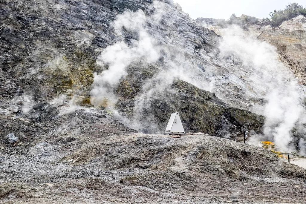
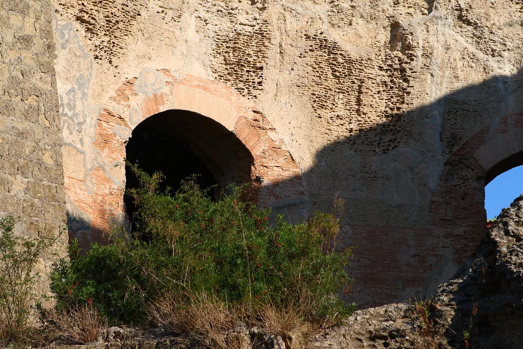
Pozzuoli is the easiest zone to understand because its main sites cluster around one town. Start with the Pozzuoli town guide for the layout. Rione Terra, Pozzuoli: Visiting the Buried Roman Quarter is the historic quarter above the waterfront. The Flavian Amphitheater is the main Roman monument. Two volcanic sites need extra care. Solfatara and the Stufe di Nerone Spa, Bacoli: Visitor Guide & Tips have both had access changes in recent years. Check the Comune di Pozzuoli website for local notices. The Parco Archeologico dei Campi Flegrei publishes hours for the archaeological sites it manages.
Baia and Bacoli Zone
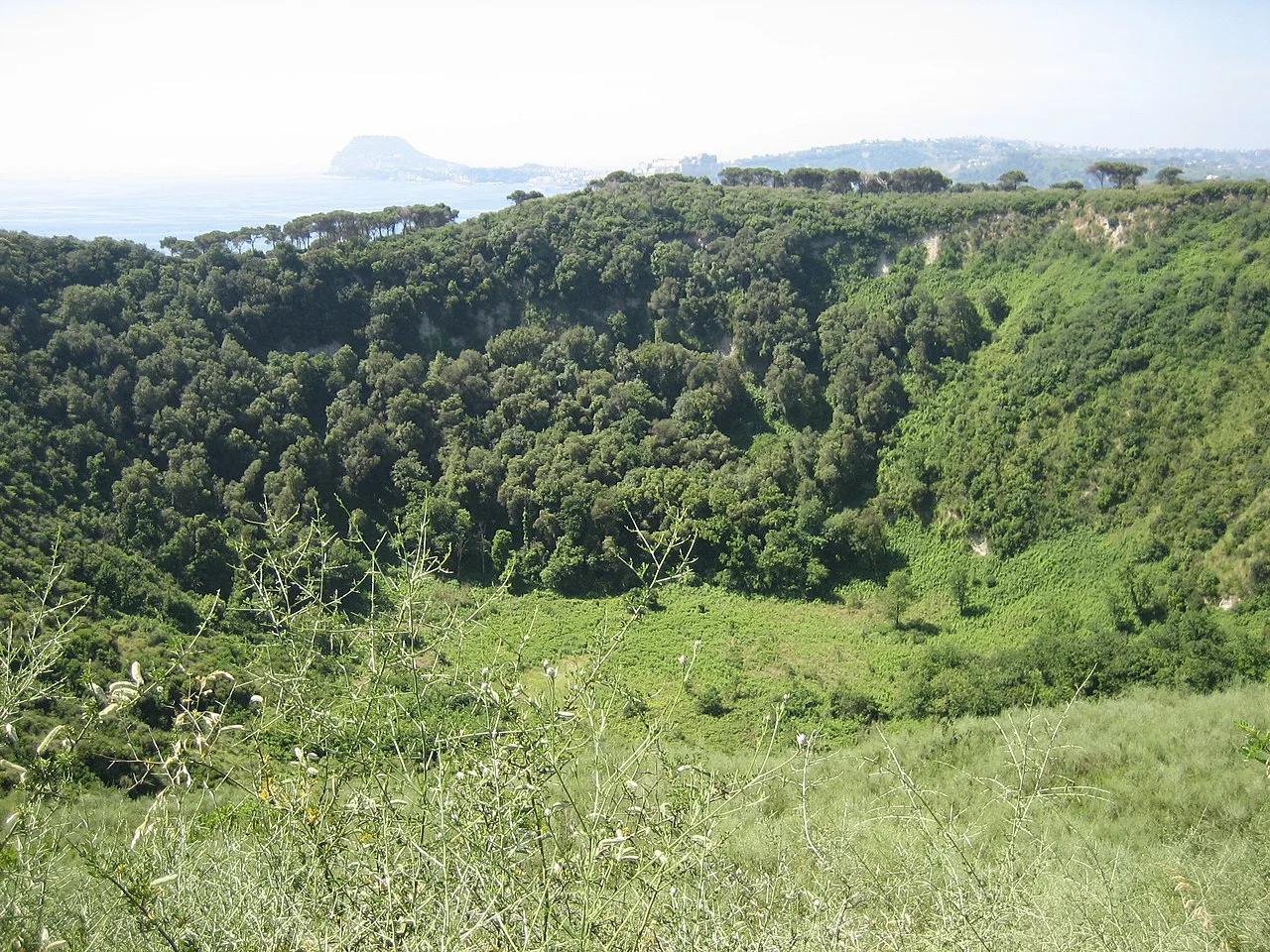
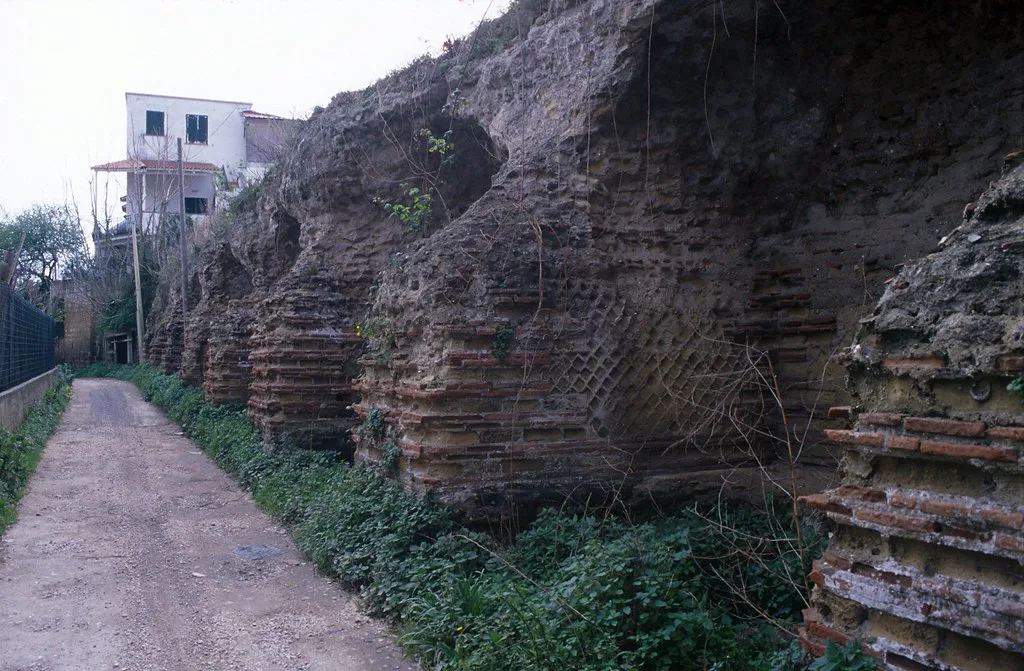
Baia and Bacoli form the coastal zone, and several sites here depend on the sea. Baia is the main stop. Castello di Baia (Castello Aragonese): Visiting Guide for Bacoli overlooks the bay. The Baia Underwater Park: Visit Baiae's Sunken Roman City holds submerged Roman remains. Visits depend on booking and sea conditions, so use the official marine park site for current arrangements. Inland, the Piscina Mirabilis Bacoli: Tickets, Hours & How to Visit is a Roman cistern near Bacoli. Monte Nuovo: Europe's Newest Mountain and How to Visit is a volcanic cone you can include in the same day. Capo Miseno completes the coastal stretch for walkers.
Cumae and Lake Avernus Zone
This is the most isolated cluster, so it has the sharpest transport trade-off. Cumae is an archaeological site, and Lake Avernus: Myth, Volcano and How to Visit is a crater lake. Both sit well away from Pozzuoli's waterfront. Public transport here is slower and less frequent than in Pozzuoli. A car or a guided tour saves time but adds cost and parking effort. Check opening status on the Parco Archeologico page before committing a half day.
Getting Between Zones from Naples
Rail, metro and bus links differ for each zone, and no single station serves every site. EAV publishes current regional rail and bus routes. Our Campi Flegrei from Naples guide compares each option in more detail.
- Public transport: cheapest and fixed to timetables. Works best for Pozzuoli, and needs extra planning for Cumae.
- Car: the most flexible way to link Baia, Bacoli and Cumae in one day. Expect to pay for parking and to drive narrow coastal roads.
- Guided tour: removes planning and handles access. It costs more and limits time at each site.
Reading the Official Hazard and Monitoring Maps
Searches for a Campi Flegrei map often mean an earthquake or uplift map. Use primary sources only. INGV Osservatorio Vesuviano publishes monitoring bulletins on seismicity and ground movement. The Italian Civil Protection Department publishes civil-protection guidance and zoning. Third-party earthquake maps lack that context and should not guide safety decisions. Our bradyseism guide explains the ground uplift. Read our eruption overview for history. The supervolcano explainer covers the label. Checked November 2026.
Common Mistakes When Planning Your Route
Most routing errors come from treating the caldera as one compact sightseeing area.
- Assuming one station serves every site. Each zone has its own access.
- Packing Pozzuoli, Baia and Cumae into one day. Choose one or two zones.
- Relying on a phone map for opening status. Use the official park pages.
- Booking a sea-based visit without allowing for weather changes.
- Using unofficial earthquake maps to judge safety. Use INGV and Civil Protection.
Frequently Asked Questions
Is there a supervolcano under Italy?
Campi Flegrei is an active caldera west of Naples, and INGV monitors it continuously. Our supervolcano guide explains how the term is used.
When did Campi Flegrei last erupt?
Eruption history is covered in our Campi Flegrei eruption guide. For current activity, read the INGV Osservatorio Vesuviano bulletins.