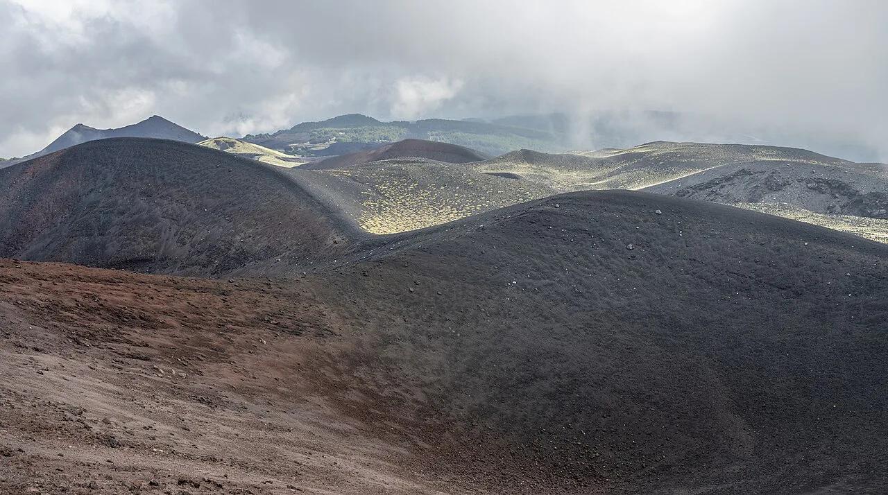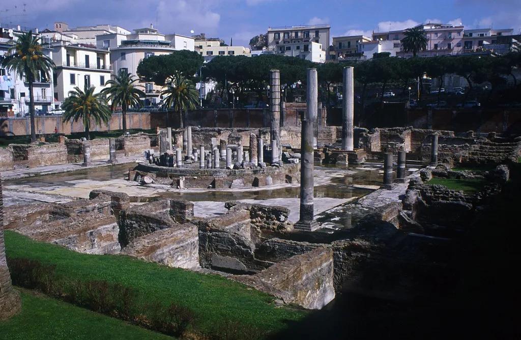
Last updated November 2026: bradyseism is the slow rising and sinking of the ground, and it has been documented near Pozzuoli since Roman times. At Campi Flegrei it is a monitored natural process, and it is not the same thing as an eruption. This guide explains what causes it, where you can see its traces and how to check the current status before a trip.
Featured image: TyB, CC BY 2.0, via Flickr.
What is bradyseism?
Bradyseism is slow vertical ground movement. The ground rises (uplift) for months or years, then sinks (deflation or subsidence) for a similar span. The Italian word is "bradisismo", and it comes from Greek roots meaning "slow movement". Italian and English sources also write the area's name as the Phlegraean Fields. Both names describe the same volcanic area west of Naples, which our Campi Flegrei overview covers in full. Scientists have documented repeated episodes near the town of Pozzuoli since Roman times, according to a USGS-hosted scientific paper.
Why bradyseism happens at Campi Flegrei
Researchers link bradyseism to hot fluids released as magma solidifies deep underground. Fluids collect in a deep, high-pressure reservoir at roughly 3–5 km depth. Every 1–10 years, on the paper's model, some of that fluid escapes upward into a shallower hydrothermal system. As the fluid expands, the ground surface moves. Minerals then precipitate and reseal the pathways, which ends one phase and starts another. The same study notes that fresh magma recharge is not required for an episode. Volcano type and eruption potential are separate questions, and what type of volcano Campi Flegrei is answers them. For the caldera's scale, see our guide to the supervolcano debate.
Bradyseism vs eruption vs earthquake
Headlines blur these three terms. The table separates them. Bradyseism can come with small earthquakes, because the crust cracks as it bends. Neither bradyseism nor earthquakes mean an eruption is under way. For a risk comparison with the Naples volcano, read Campi Flegrei versus Vesuvius.
| Term | What moves | Speed | What travelers notice | What to check |
|---|---|---|---|---|
| Bradyseism | Ground rises or sinks | Months to years | Usually nothing day to day; changed shoreline and some site works | Monitoring bulletins from INGV |
| Earthquake | Crust shakes along a fracture | Seconds | Short shaking; rarely, damage | Civil Protection notices, local news |
| Eruption | Magma or gas reaches the surface | Hours to days | Ash, gas, explosions, closures | Civil Protection alerts and evacuation plans |
Where you can see traces of bradyseism
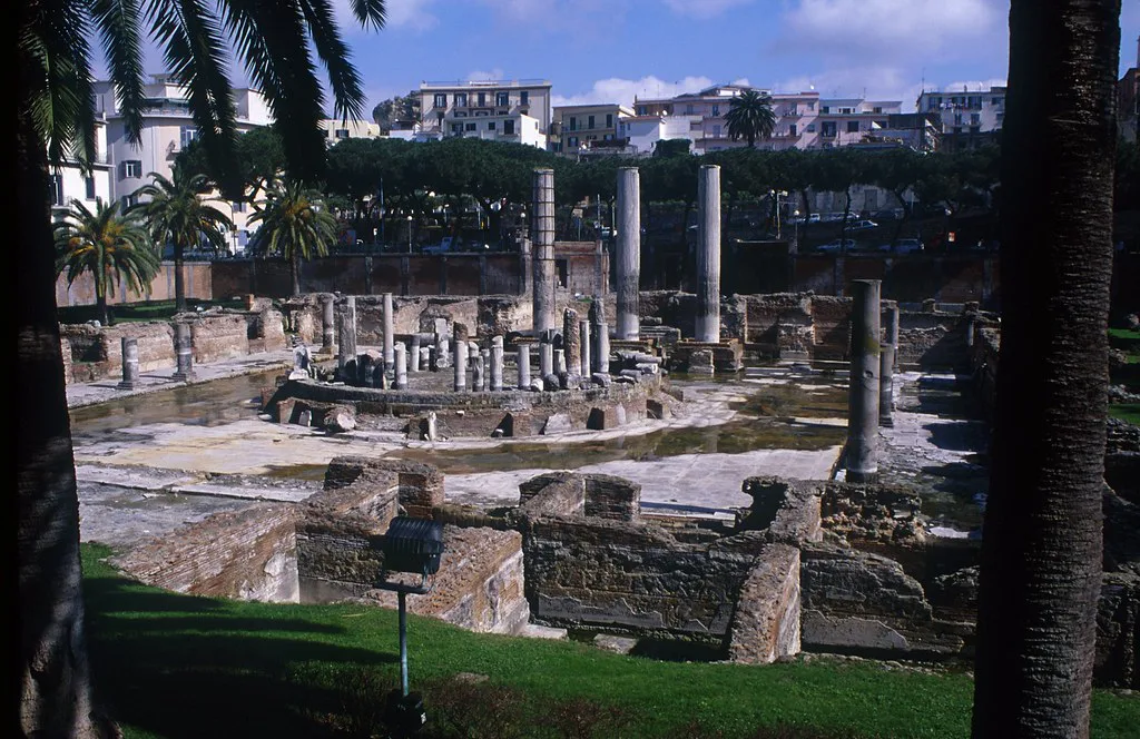
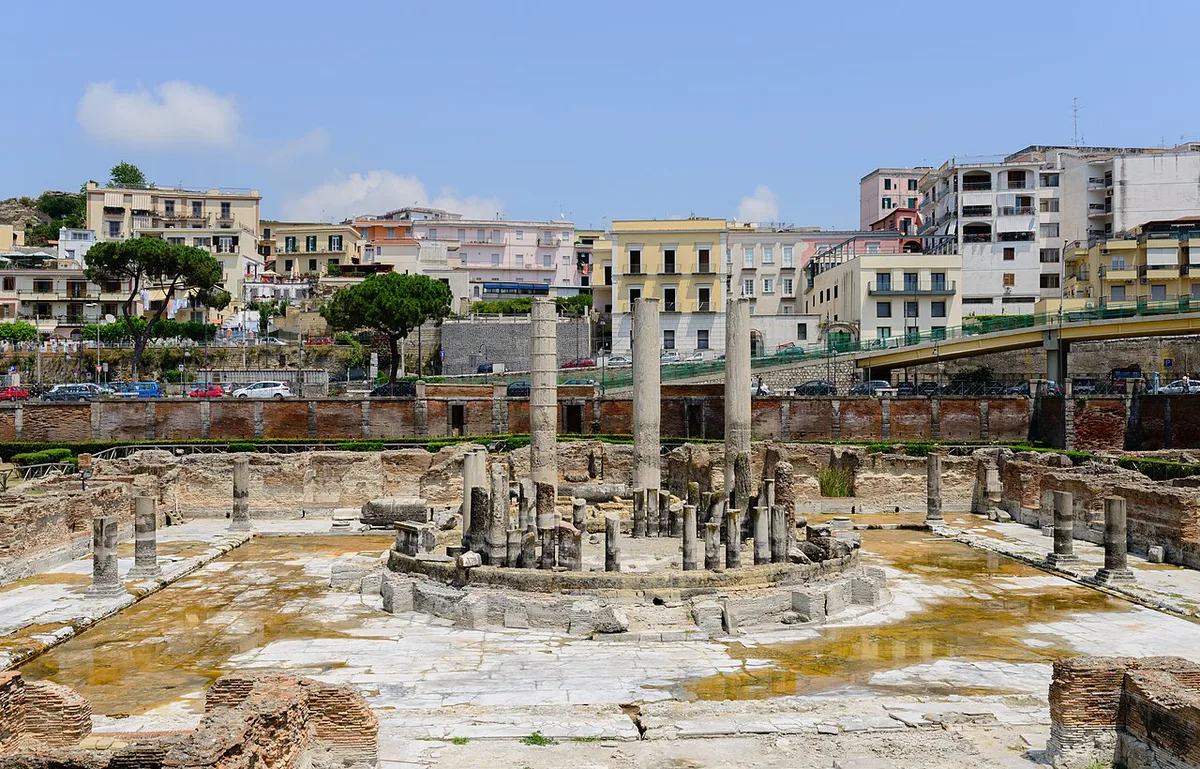
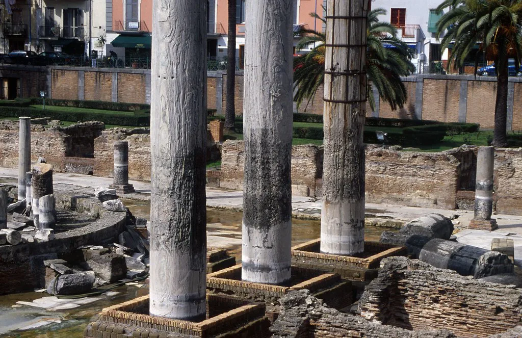
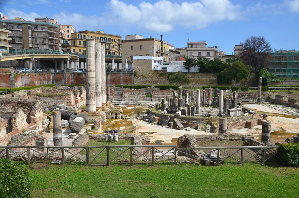
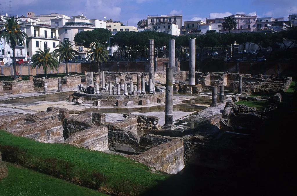
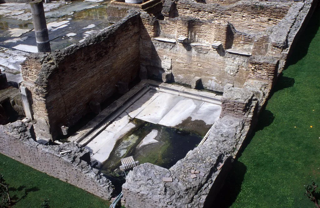
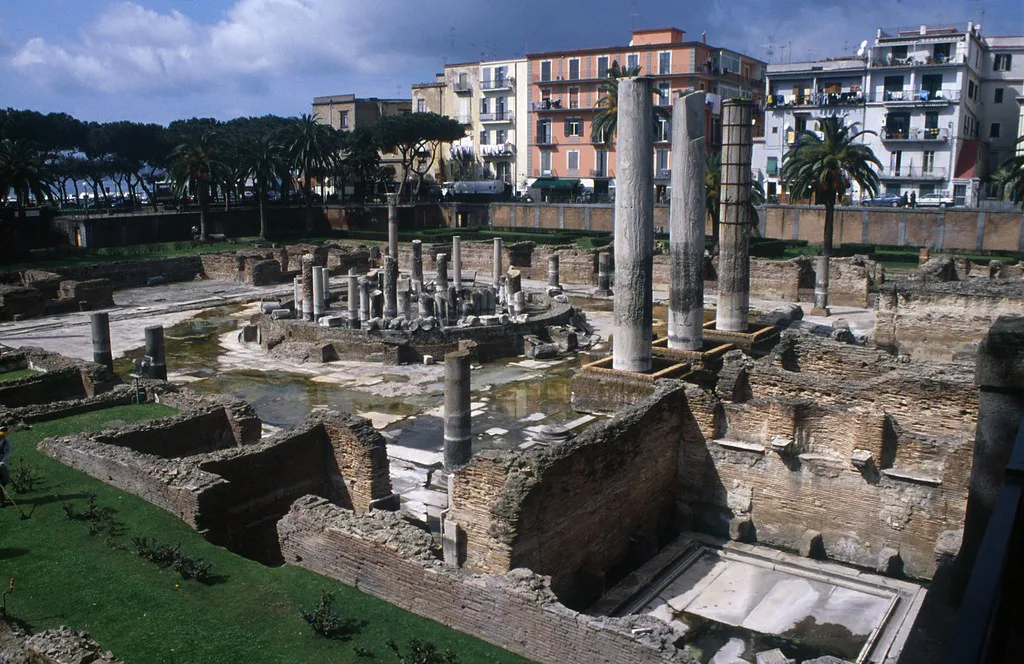
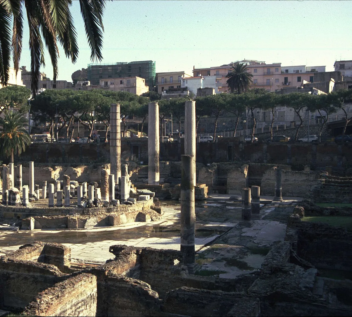
Pozzuoli is the clearest place to see the effects. Its Serapeo, the Roman market building, has marble columns marked by holes from marine organisms. Those marks show the ground sat below sea level for a time before it rose again. Our Pozzuoli guide covers the town and its port. Access to archaeological sites can change, so check the Parco Archeologico dei Campi Flegrei for the Serapeo's current status.
- Rione Terra, Pozzuoli: Visiting the Buried Roman Quarter: the old upper town of Pozzuoli, where past ground movement and works have shaped access.
- Baia Underwater Park: Visit Baiae's Sunken Roman City: Roman structures that now lie under the sea, showing long-term subsidence.
- Monte Nuovo: Europe's Newest Mountain and How to Visit: a volcanic cone that grew in the same unrest-prone area.
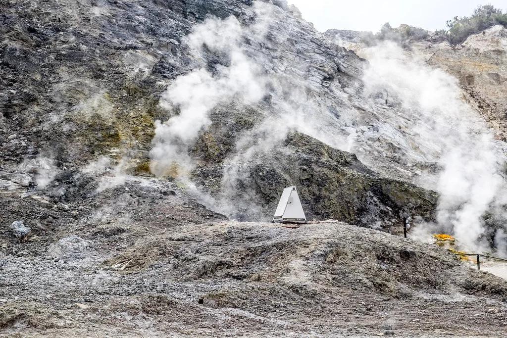
- Solfatara: a crater with steam vents that shows the hydrothermal system at work.
A short history of ground movement at Campi Flegrei
Roman-era records already describe ground movement around Pozzuoli. In 1538, Monte Nuovo formed in a short eruption, and it is the area's last eruption. Our Campi Flegrei eruption guide covers that event. Strong uplift episodes followed in the 1970s and 1980s, and the 1983–1984 crisis is the best studied. INGV's Osservatorio Vesuviano monitors the area and publishes its bulletins. Unrest is ongoing. In April and May 2024, the Civil Protection Department, the Campania Region and local councils held public meetings in Pozzuoli and Bacoli about the crisis.
Researchers' model has fluid escaping upward every 1–10 years, and the 1983–1984 crisis is the best-studied example of that uplift pattern.
Is it safe to visit Campi Flegrei? How to check
Bradyseism does not mean a visit is unsafe by itself. Plan around the current official picture, not around headlines. Check three sources before you travel, and again the day before. Social media posts are a poor guide, and a headline about uplift is not an eruption warning. Anyone staying for weeks, or relying on one specific site, should be more careful. Ask your accommodation about its building checks and its evacuation information.
- Monitoring: INGV Osservatorio Vesuviano bulletins on ground movement and earthquakes.
- Alerts and public guidance: the Civil Protection Department.
- Local closures and works: the Comune di Pozzuoli website.
- If you feel a tremor: move away from walls and windows, then follow local instructions.
Planning notes for visitors
A half day in Pozzuoli covers the visible traces: the Serapeo, the port and Rione Terra. A full Campi Flegrei day adds Baia, Cumae and the crater areas, so expect more travel between sites. Some sites may be closed or restricted, so check each official page on the day. Most visitors reach the area on a day trip, and our Campi Flegrei From Naples: How to Get There and What to See guide explains the routes. Our Campi Flegrei Map: Where Sites Are & How to Visit helps you sequence stops.
Frequently Asked Questions
Is Campi Flegrei a supervolcano?
Campi Flegrei is a large volcanic complex west of Naples. Whether it counts as a supervolcano is a matter of definition, and we cover that in our supervolcano guide.