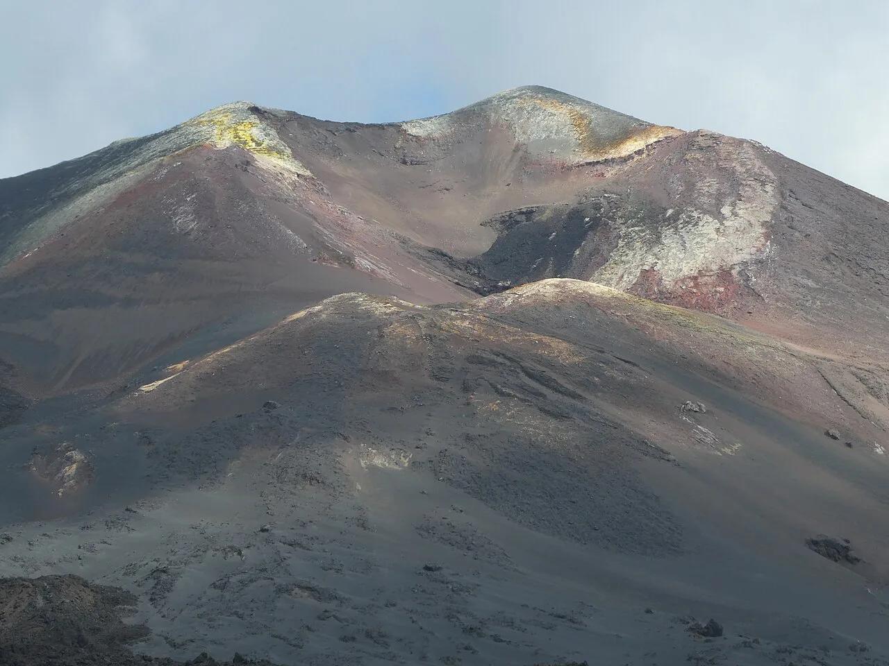
Mount Teide Facts: Height, Eruptions & Visitor Tips
Last updated November 2026. These mount teide facts start with a summit of 3,715 m above sea level, the highest point in Spain. Teide rises on Tenerife in the Canary Islands, and our Mount Teide guide covers the full visit. Below, each number comes with the reason it matters on the ground.
Featured image: Flocci Nivis, CC BY-SA 4.0, via Wikimedia Commons.
Mount Teide at a glance
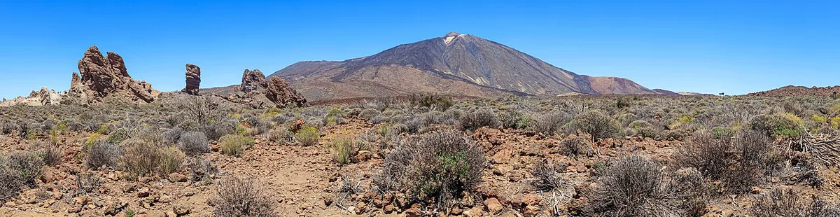
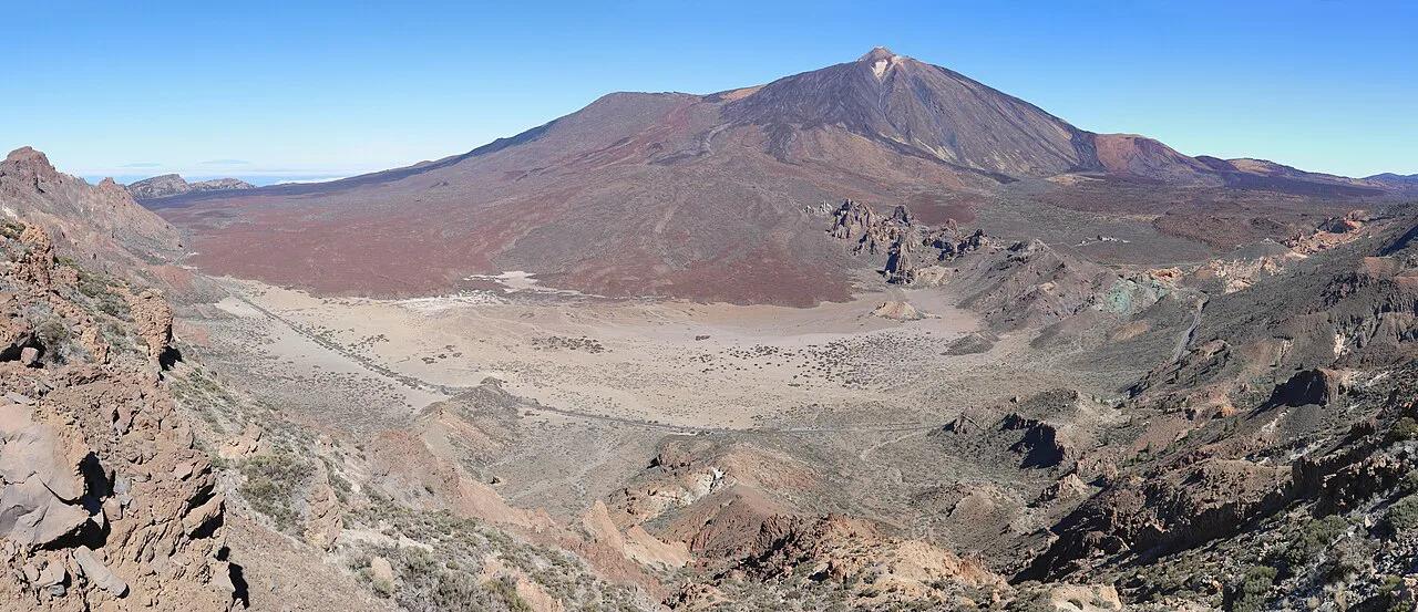
Teide is a volcano on Tenerife, Spain, rising 3,715 m above sea level according to the national park authority and IGN. Spain has no higher point. Teide stands inside Teide National Park, a 189.9 km² protected area with UNESCO World Heritage status.
| Property | Fact | Why it matters for your visit |
|---|---|---|
| Summit height | 3,715 m above sea level | Thin, cold air at the top |
| National rank | Highest point in Spain | Summit access is regulated |
| Park area | 189.9 km² | Trails and viewpoints are spread out |
| Cable car | 8 minutes, 2,356 m to 3,555 m, 35-person cabin | Saves most of the climb |
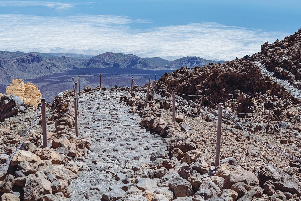
| Summit trail | Sendero 10, 0.6 km each way | Short but steep and high |
| Daily summit cap | 200 people | Permits sell out |
| Neighbour | Pico Viejo, 3,134 m | Second peak with its own viewpoints |
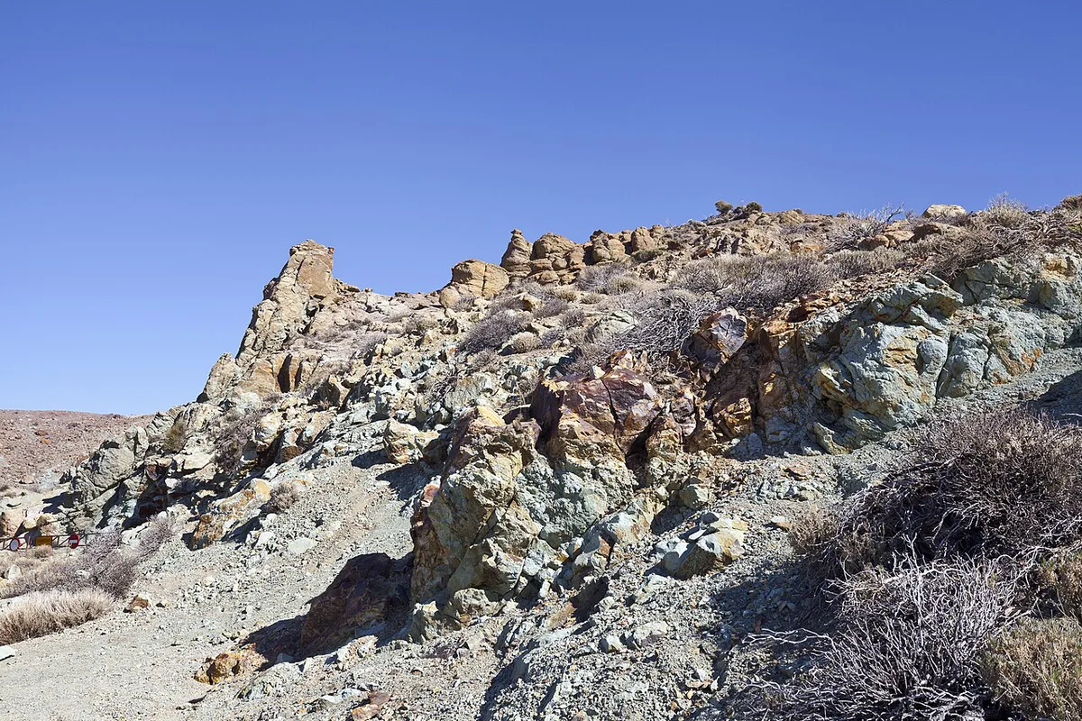
Height, rank and size: what the numbers mean
Use 3,715 m as the working figure, since the park authority and IGN publish it. Some older guides quote 3,718 m, so expect to see both. The cable car's upper station at La Rambleta sits at 3,555 m, which leaves about 160 m of climbing to the summit. That gap is why a separate summit permit exists. Teide is often counted among the world's tallest island volcanoes, but the ranking depends on whether you measure from sea level or from the ocean floor. Sources vary on the exact position, so treat any single rank with caution. Our Tenerife volcano overview covers the island setting. For a side-by-side look, see how Teide compares with Etna.
How Teide formed and how old it is
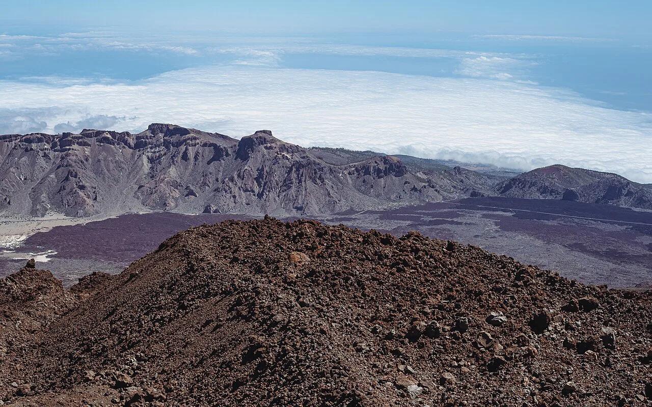
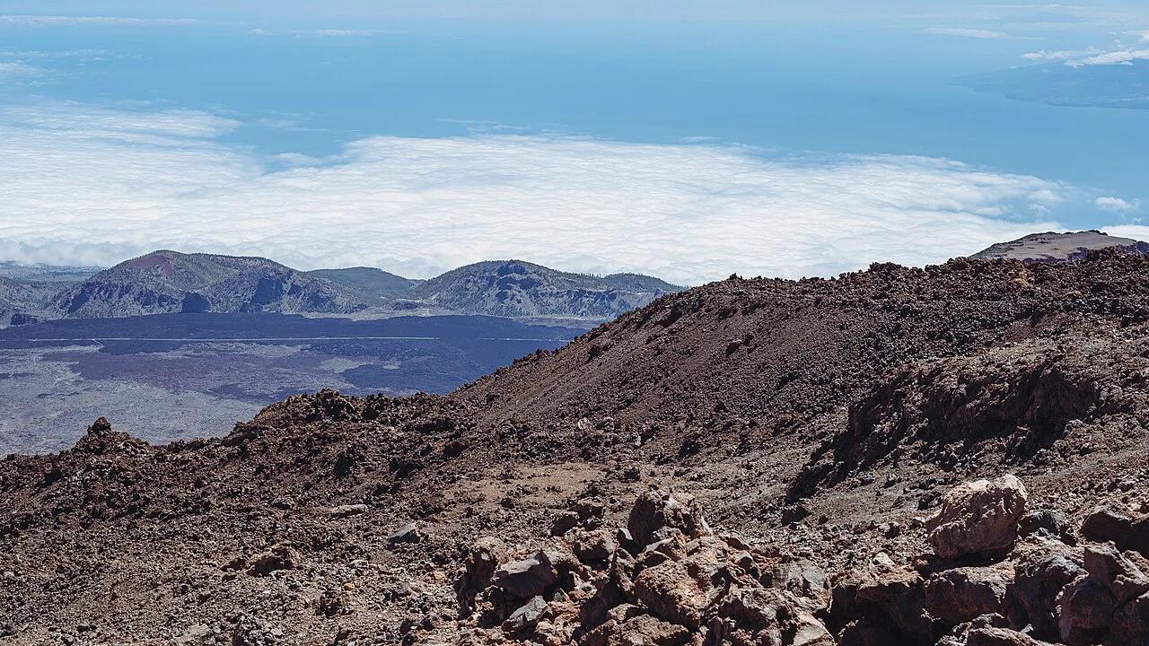
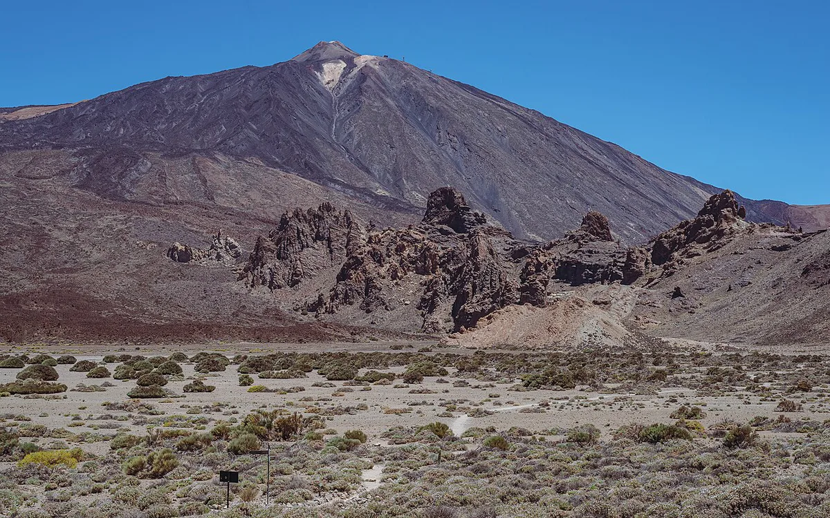
Teide's cone rose inside Las Cañadas, a vast caldera on Tenerife. Pico Viejo, at 3,134 m, stands immediately west and is the second major peak of the complex. A single age for Teide misleads, because the older Las Cañadas edifice and the younger Teide cone date to different periods. INVOLCAN is the best source for geological dating. Walkers can study Pico Viejo's lava slopes from the viewpoints near the cable car station.
Eruption history: a short timeline
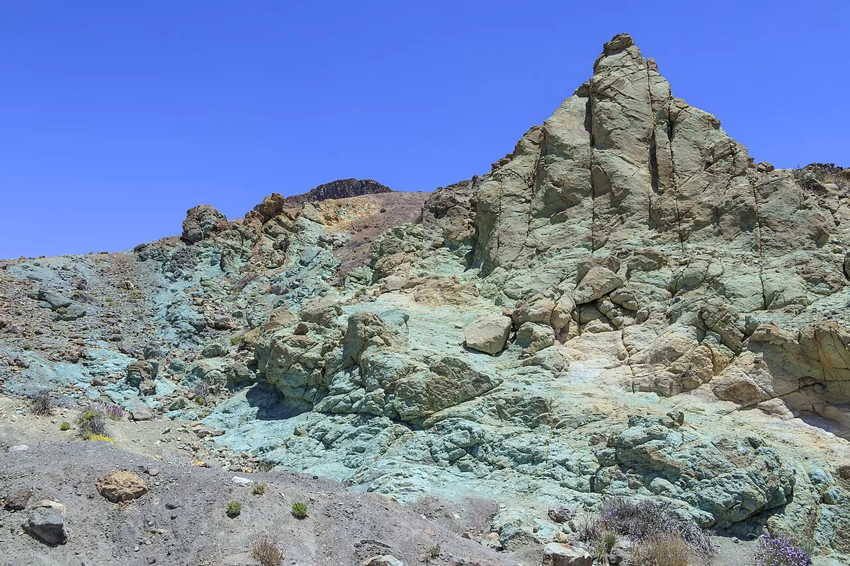
Teide is dormant, not extinct. Recorded eruptions on Tenerife came from several vents, not from the summit cone itself. Dates below follow the commonly cited record, and INVOLCAN holds the authoritative list. Older guides give 1908 for the last eruption, but 1909 is the date usually given for Chinyero. Read whether Teide is still active for the monitoring picture. The Chinyero eruption site has a walking trail.
| Date | Vent | Notes |
|---|---|---|
| 1704–1705 | Fasnia, Siete Fuentes, Arafo | Fissure eruptions east of Las Cañadas |
| 1706 | Montaña Negra | Lasted 9 days and damaged surrounding land |
| 1798 | Narices del Teide, on Pico Viejo's flank | Began 9 June and ran about three months, leaving a 700 m gash |
| 1909 | Chinyero | Most recent eruption on Tenerife |
Teide National Park and UNESCO status
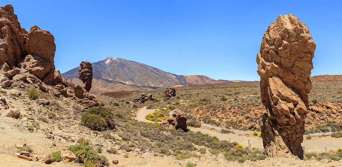
Teide National Park covers 189.9 km² and is a UNESCO World Heritage Site. Spain's national parks network lists it as part of the protected-area system. For you, that means staying on marked trails and carrying a permit for the summit path. Park rules are published on the official national park page. Our park map shows the roads, trailheads and viewpoints.
Facts that change your visit
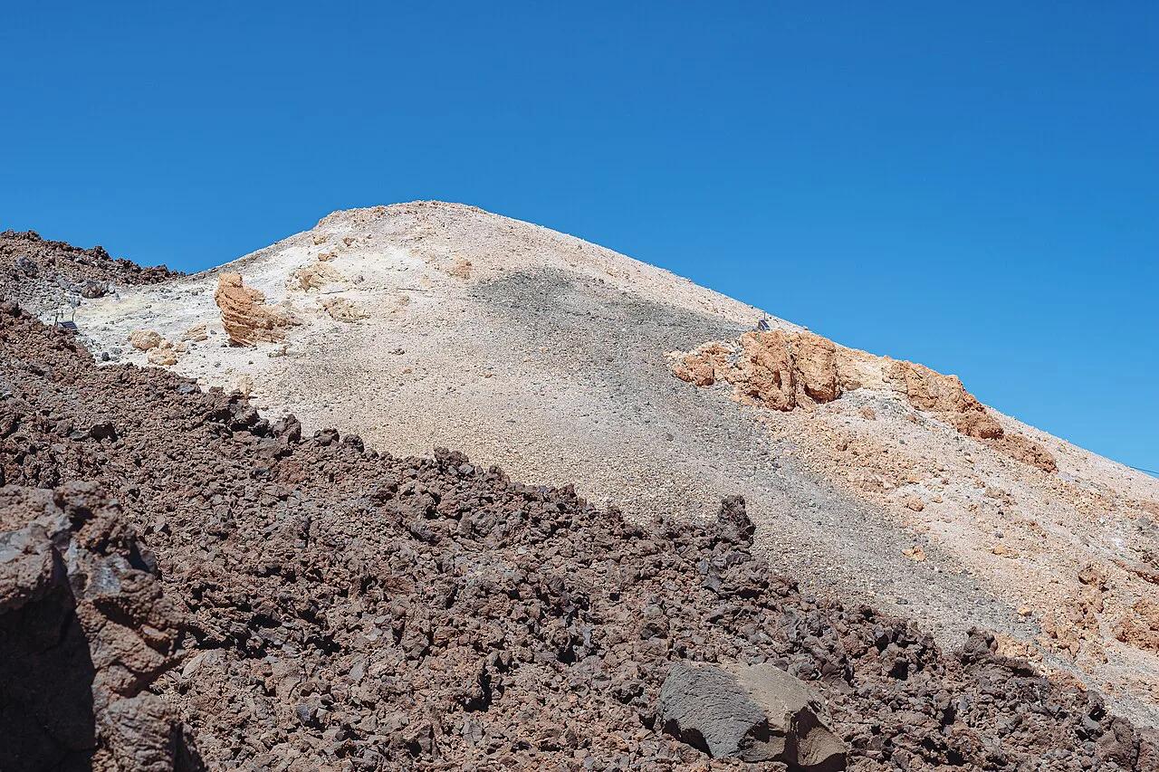
The cable car takes 8 minutes to climb from 2,356 m to 3,555 m, in cabins for 35 people. The official cable car operator publishes current hours and fares. Our cable car ride details explain what to expect. For ticket steps, see cable car ticket options. The summit path, Sendero Telesforo Bravo (Sendero 10), covers 0.6 km each way. Only 200 people may summit per day, and the permit gives a two-hour window to reach the top and return. Above 3,700 m, the altitude is easy to underestimate. Conditions also differ sharply from the coast, so read weather at altitude before you go. Choosing a season helps too, so see the best months for Teide. Rental car, bus or tour all reach the park, and routes to the park compares them.
| Option | Effort | Advance booking | What you see | Who should skip it |
|---|---|---|---|---|
| Cable car only | Low | Check the operator's site | La Rambleta at 3,555 m, plus Sendero 11 (400 m) and Sendero 12 (730 m) | Anyone who needs the summit crater |
| Cable car plus summit permit | Moderate, 0.6 km each way | Permit required, 200 per day | Summit at 3,715 m | Walkers sensitive to altitude |
| Hike up via Sendero 7 | High, 9.5 km one way, around five hours | Permit still needed for the summit | Montaña Blanca route and the full ascent | Short-stay visitors |
Viewpoints, stars and sunsets
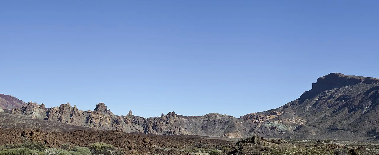
Sendero 11 leads 400 m to the Mirador de la Fortaleza. Sendero 12 runs 730 m to the Mirador Pico Viejo. Lower down, the Mirador de la Ruleta, Teide: Viewpoint Guide and Stop Planning gives a roadside view of the peak. Close by, Roques de García is a short walk among rock towers. Astronomy runs on the island too, and the Instituto de Astrofísica de Canarias operates the observatory. Our observatory guide covers visiting it. For night skies, see stargazing in the park. Evening light is covered in sunset viewing spots.
Sendero 12 runs 730 m to the Mirador Pico Viejo, and the cable car only option covers these walks, since the summit permit applies to the top alone.
Myths and mistakes
Three claims travel widely and are wrong. Four planning errors cause most disappointment.
- Myth: Teide last erupted millennia ago. Fact: eruptions on Tenerife continued into 1909 at Chinyero.
- Myth: Teide is a single mountain. Fact: Pico Viejo, 3,134 m, stands beside it inside the Las Cañadas caldera.
- Myth: you can walk to the summit any time. Fact: a permit is required, with 200 people allowed per day.
- Mistake: turning up without a summit permit.
- Mistake: ignoring altitude above 3,700 m.
- Mistake: assuming coastal weather applies at 3,555 m.
- Mistake: relying on old Refugio de Altavista news. Check its current status before planning an overnight.
Frequently Asked Questions
How long does it take to climb Mount Teide, Tenerife?
The cable car takes 8 minutes to reach 3,555 m. The last stretch on Sendero 10 is 0.6 km each way, within a two-hour permit window. Hiking up from Montaña Blanca via Sendero 7 is 9.5 km one way, around five hours. Return to our main Teide guide for planning.