Roques de García, Tenerife: Loop Walk Guide and Tips
Last updated November 2026: the Roques de García loop is a short, mostly gentle walk of roughly 3.5 to 4.5 km (2.2 to 2.8 miles) in Teide National Park. Allow 1 to 2 hours, and expect a start above 2,100 m (6,900 ft) with no shade. It suits families, cable-car day visitors and photographers, but not anyone who wants a summit or a full-day hike.
Featured image: H. Zell, CC BY-SA 3.0, via Wikimedia Commons.
Roques de García at a glance
Published figures for the loop differ slightly, so the table gives ranges. Visit Tenerife's trail sheet for trail PNT 03 lists 3.5 km, 2 hours and 211 m of climbing. Other walkers report 4.5 km, 1 to 2 hours and about 200 m. The difference most likely comes from where each person starts and whether they add detours.
| Detail | What to expect |
|---|---|
| Distance | 3.5 to 4.5 km (2.2 to 2.8 miles), circular |
| Time | 1 to 2 hours at a relaxed pace |
| Elevation gain | About 200 to 211 m (656 to 692 ft) |
| Altitude | Roughly 2,025 m to 2,187 m (6,644 to 7,175 ft) |
| Difficulty | Easy, with one short climb near the end |
| Start | Parador de Las Cañadas del Teide car park, or La Ruleta lookout |
| Permit | Visit Tenerife's sheet states no authorisation is required |
| Shade and water | None on the loop, so carry your own water |
What you'll see on the loop
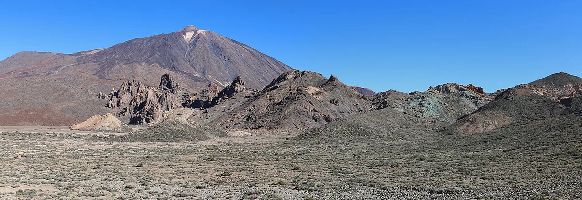
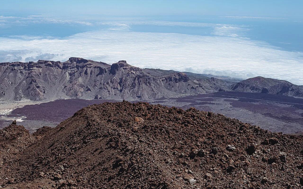
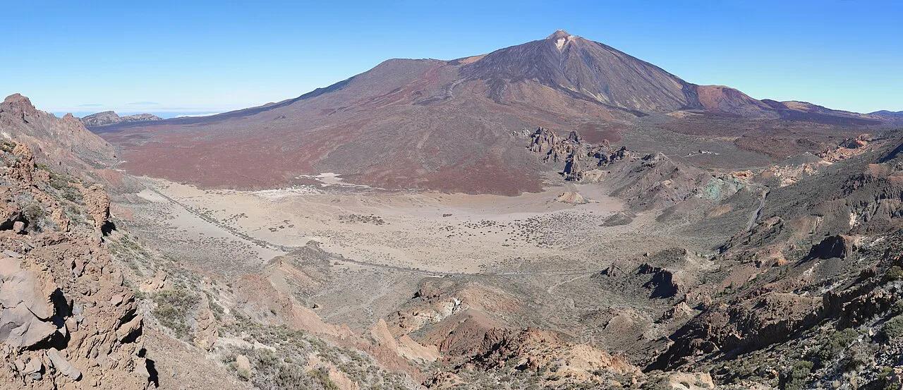
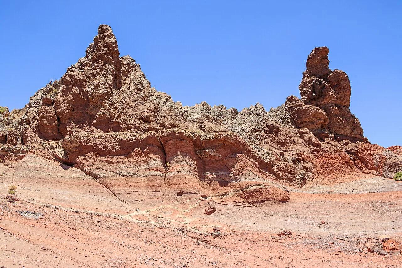
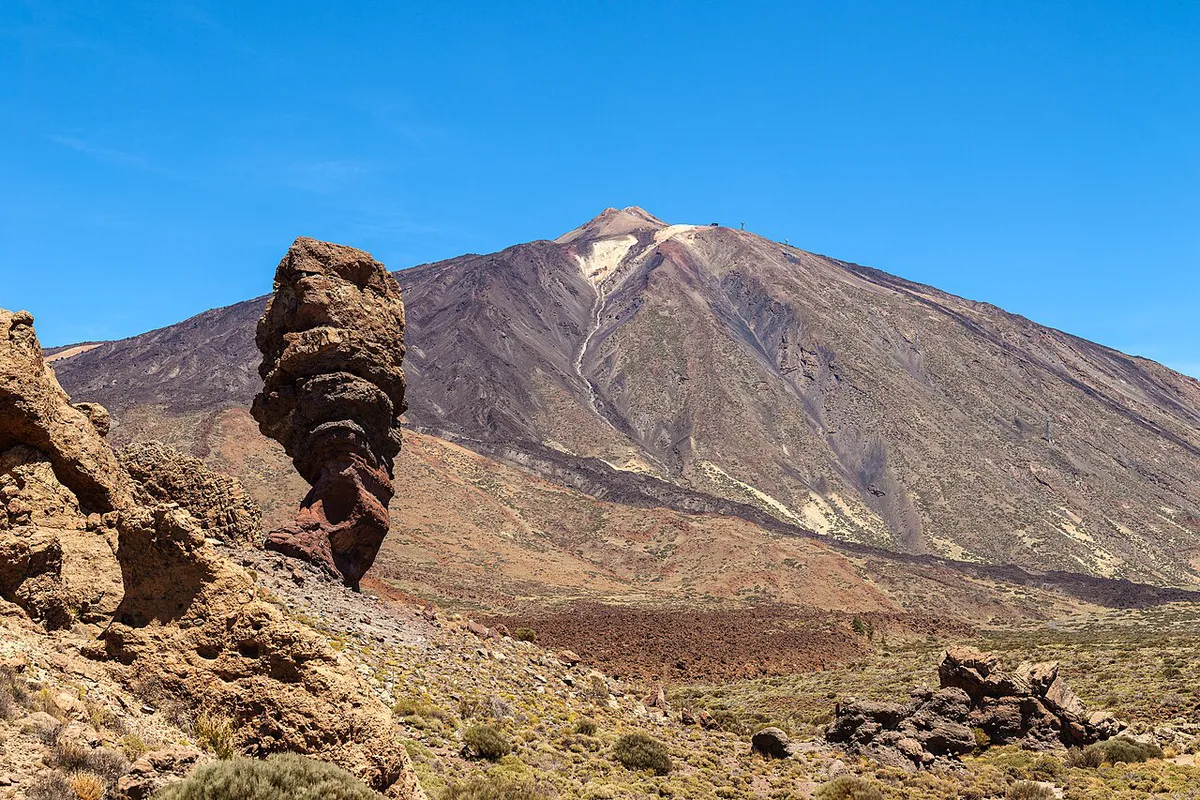
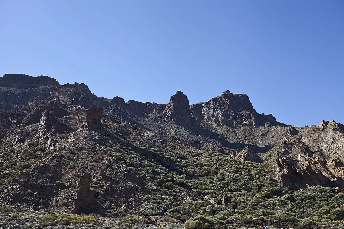
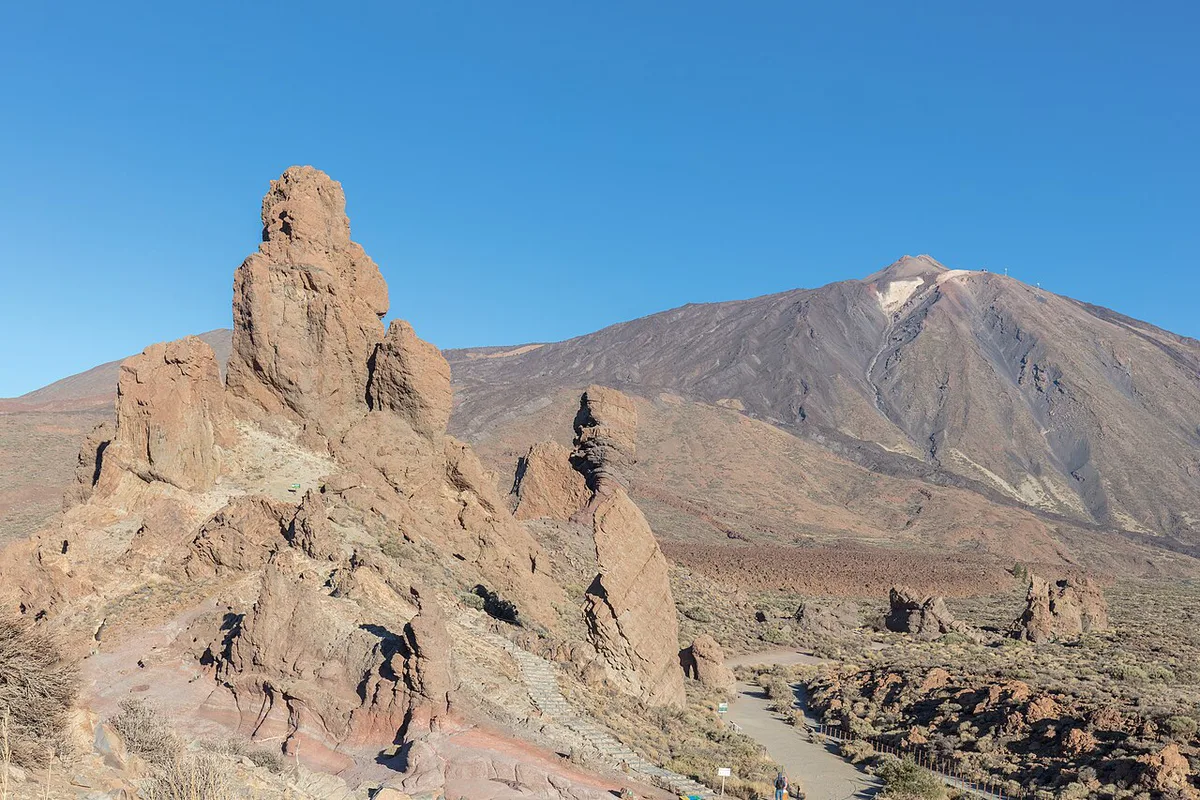
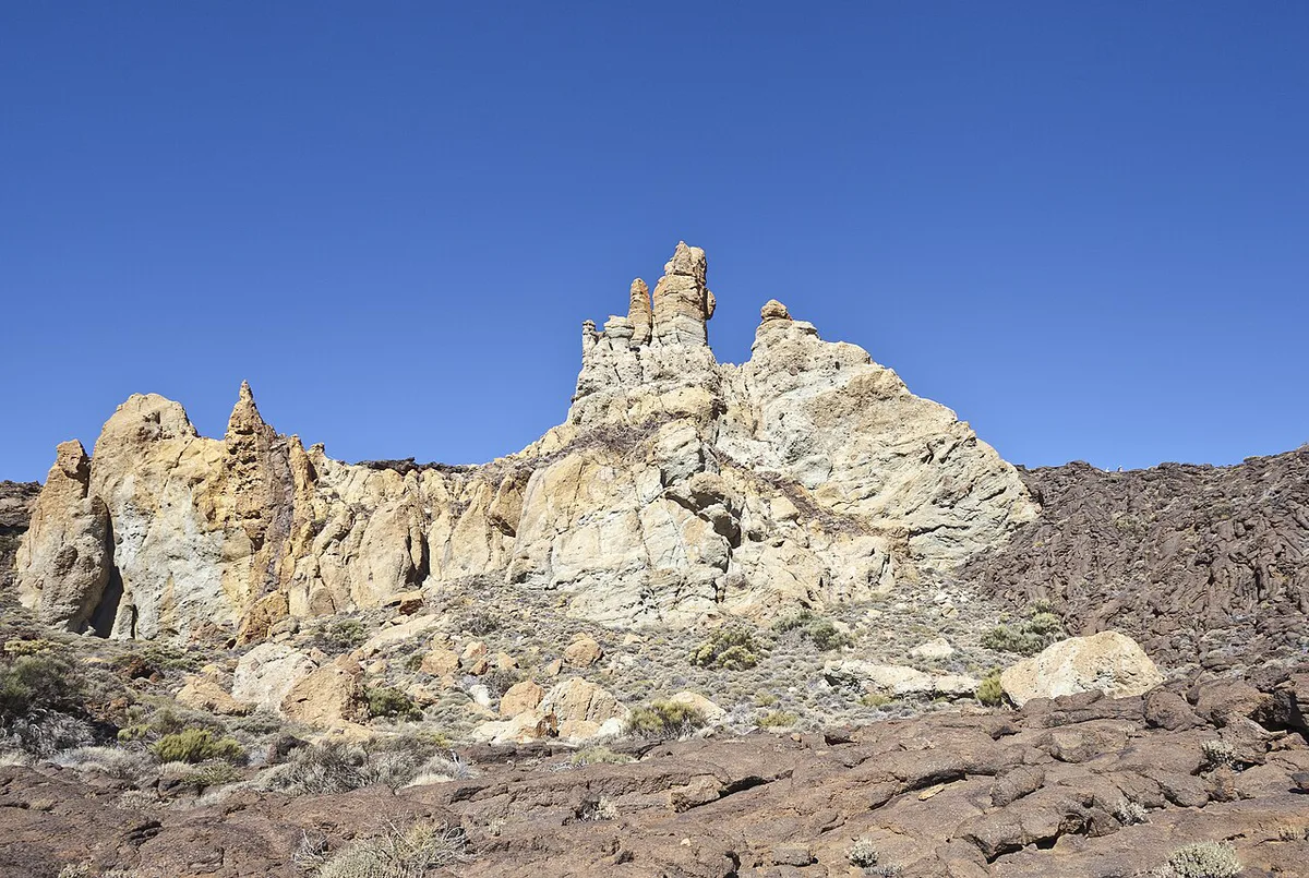
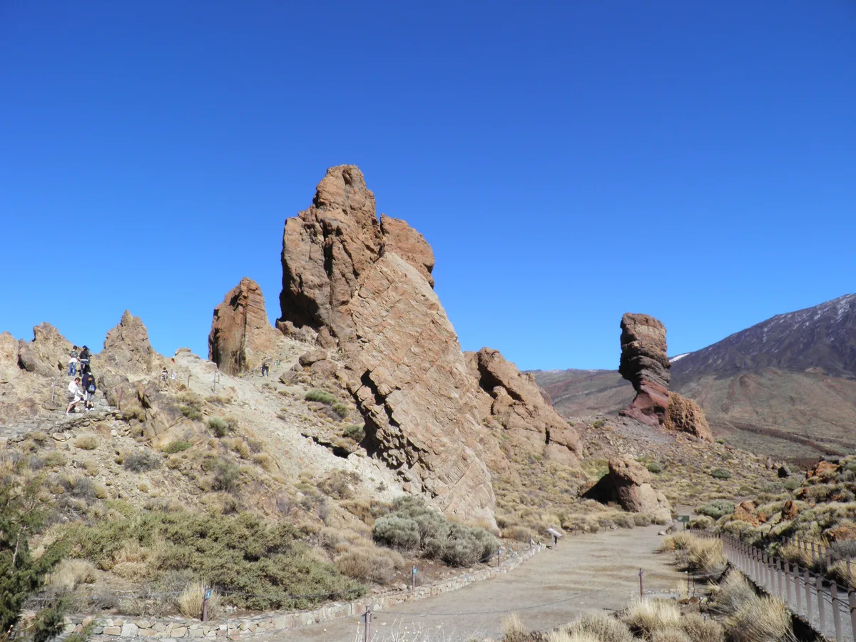
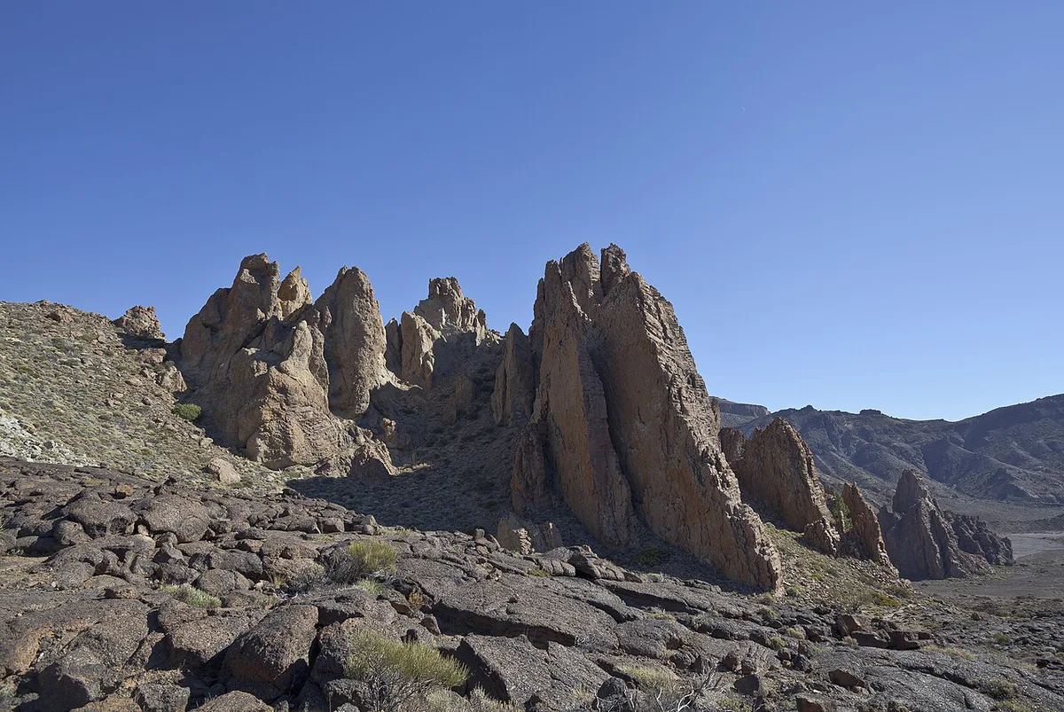
The Roques de García are a group of eroded volcanic rock formations facing the Llano de Ucanca. Teide rises behind them. Landmarks below follow the walking order of the circuit, which the official trail sheet describes with the rocks on your left.
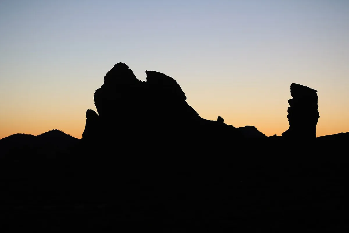
- Roque Cinchado, the Finger of God: a leaning pillar about 27 m high, roughly 1,700 m below Teide's summit. It sits right beside the start.
- Roques Blancos, El Torrotito and El Burro: the neighbouring formations that line the path as you pass north of the group.
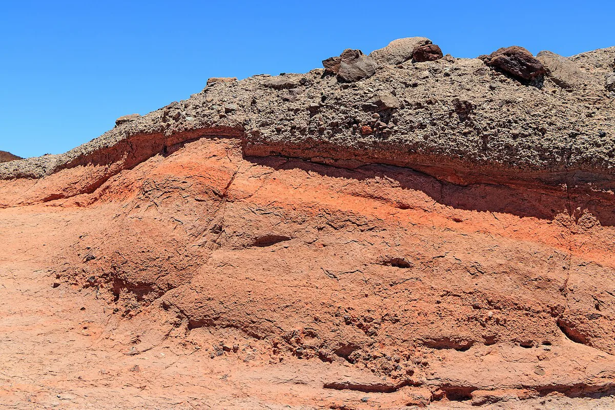
- La Cascada: a tongue of lava seen as you descend toward the plain, next to smooth, rounded pahoehoe flows.
- Llano de Ucanca: the flat sedimentary plain you cross briefly before turning back.
- La Catedral: a pointed rock near the end, described by Visit Tenerife as a phonolite chimney exposed by erosion.
Getting to the trailhead and parking
Most visitors drive up the TF-21 to the Parador de Las Cañadas del Teide, which stands at 2,151 m (7,057 ft). Parking beside the Parador fills early, and walkers report cars lining the road that links it to the TF-21. Arrive early in the morning or in the late afternoon for the least stress. Bus travellers can check TITSA's timetables for line 348, which walkers say stops nearby. Confirm the stop and the season's schedule before you go. Our guide on How to Get to Teide: Car, Bus, Tour & Cable Car Options compares driving, buses and tours.
Parking at the Parador sits at 2,151 m, in the upper part of the loop's roughly 2,025 m to 2,187 m altitude range.
- Driving: flexible, but parking is tight in the middle of the day.
- Bus: no parking worries, but timetables limit your hours on site.
- Tour: simplest logistics, though the stop length is set by the operator.
Walking the loop: step by step
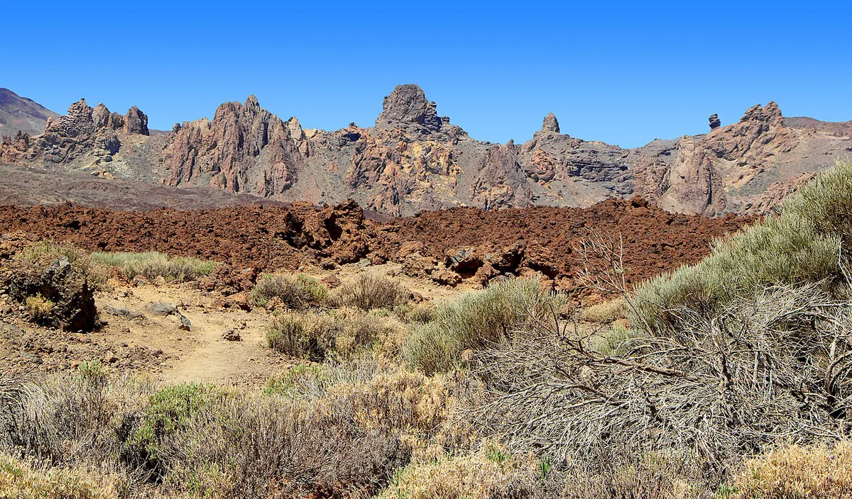
Start by passing beneath Roque Cinchado, where the path is flat and wide. After about 10 minutes you reach a small col with an open view of Teide. Soon a junction splits off toward Pico Viejo. Stay on the main Roques loop, because the branch is a much bigger day. Our Pico Viejo guide covers that route separately. The path then crosses hardened lava and dips into a shallow valley below the formations. Near the end, a climb of about 100 m (328 ft) leads back toward the start. At this altitude it is steep enough to slow you down. Walkers who start at the lookout can read our guide to La Ruleta viewpoint first.
Save some energy for the final climb of about 100 m (328 ft), which is roughly half of the loop's 200 to 211 m total gain.
- Stage 1: Roque Cinchado and the col, about 10 minutes in.
- Stage 2: the Pico Viejo junction, where you keep to the loop.
- Stage 3: lava flows, La Cascada and Llano de Ucanca.
- Stage 4: the 100 m climb past La Catedral to the start.
Best time to go
Early morning and late afternoon give softer light, thinner crowds and less heat on a route with no shade. Winter mornings can be cold and windy at 2,100 m. Check the forecast on AEMET's site before you set off. Our notes on Teide Weather: Climate by Month, Snow & Forecast Tips explain how conditions change with height. Seasonal trade-offs are in our Best Time to Visit Teide: Month, Season & Time of Day Guide guide. Photographers can build the walk around Teide at sunset. After dark, the plateau is a strong choice for stargazing on Teide.
Safety, altitude and rules
You start above 2,100 m (6,900 ft), and the loop has no water refills. Pack water, sun protection, a hat and a warm layer. Stay on the marked paths, take all rubbish with you, and leave plants and rocks where they are. The park's official page on Teide National Park lists current access rules. Check the Pico Viejo branch for permit requirements before taking it. In an emergency, call 112.
- Wrong start point: both the Parador car park and La Ruleta work, but pick one and stay with it.
- Taking the Pico Viejo branch by accident: keep left or right as signed for the Roques loop.
- No water: there are no refill points for the full 3.5 to 4.5 km.
- Midday sun: the exposure is complete, so go early or late.
- Climbing the rocks: the formations are protected, so keep to the path.
Combine it with the rest of your Teide day
The loop is short, so it pairs well with something else. Compare the options below by time and effort only. For a summit view without the hike, see the Teide Cable Car: Hours, Prices, Permits & Planning. Booking details are on our cable car tickets page. Wider planning, including the summit, sits in our Mount Teide guide.
| Plan | Time | Effort | Logistics |
|---|---|---|---|
| Loop alone | 1 to 2 hours | Easy | One parking stop |
| Loop plus cable car | Half a day | Easy to moderate | Cable-car queues and a fixed ride slot |
| Loop plus sunset or stargazing | Late afternoon into night | Easy, but cold | Drive back in the dark on the TF-21 |
Frequently Asked Questions
Where does the Roques de García hike start?
Most walkers start at the Parador de Las Cañadas del Teide car park, right beside Roque Cinchado. Visit Tenerife's trail sheet lists La Ruleta lookout as the start and finish. Both reach the same circuit.
Where to park for Roques de García?
Use the car park next to the Parador, which sits at 2,151 m. It gets very busy, and some drivers park along the road to the TF-21. Arrive early in the morning or late in the afternoon.
Is it worth going to Mount Teide?
Yes, if you want volcanic scenery without a long hike. The Roques de García loop takes 1 to 2 hours and needs no summit effort. Our guide to 6 Ways to Experience Mount Teide: Cable Car, Permit & Planning covers the other options.