Is Mount Teide Active? Status, Last Eruption & Visitor Safety
Last updated November 2026: so, is Mount Teide active, and is it safe to visit? Spain's Instituto Geográfico Nacional (IGN) and INVOLCAN class it as active, but it is dormant, and its last eruption in 1909 came from the Chinyero vent. Our complete Teide visitor guide covers the trip itself, while this page covers status, monitoring and risk.
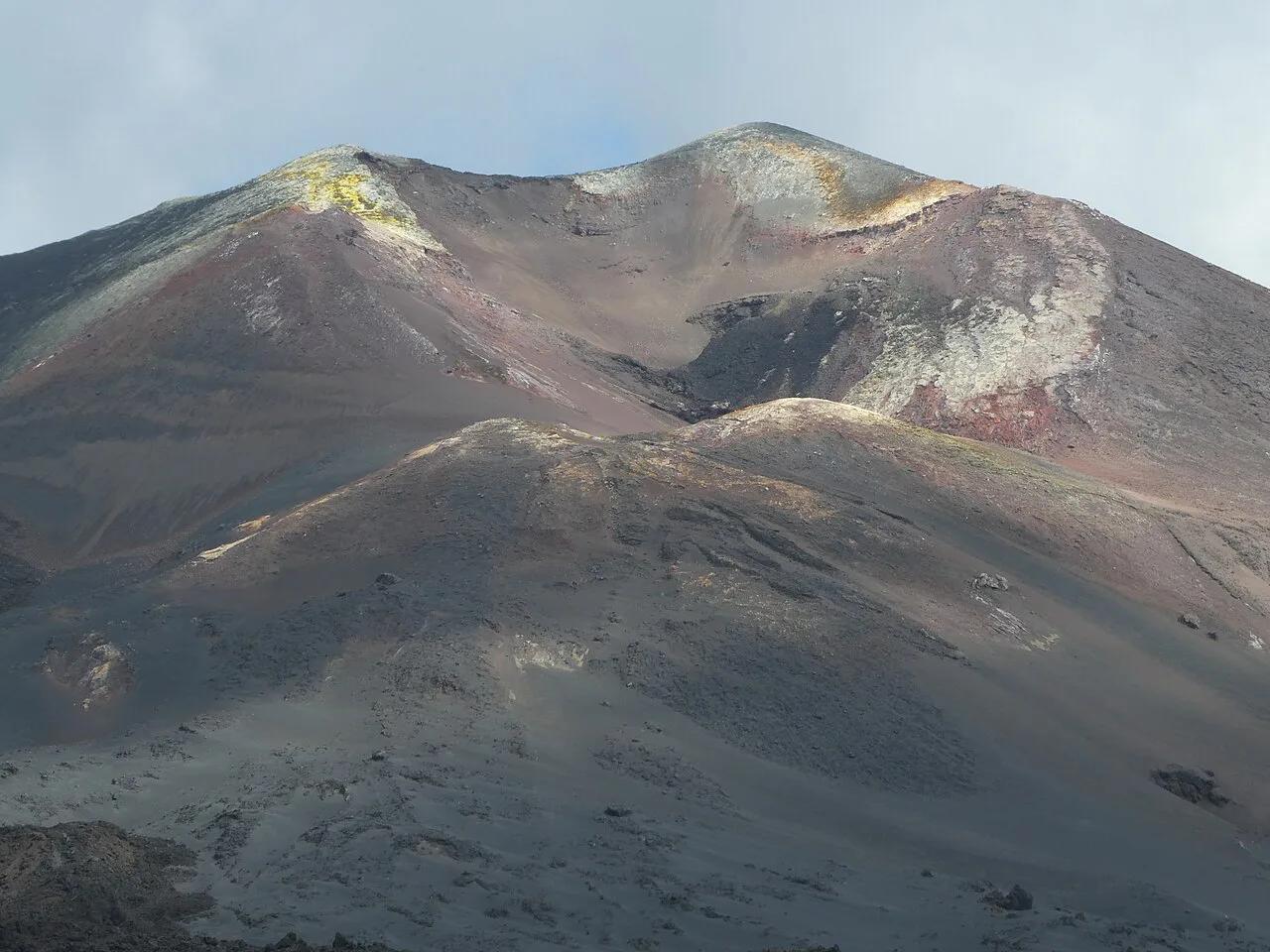
Featured image: Flocci Nivis, CC BY-SA 4.0, via Wikimedia Commons.
Is Mount Teide active? Short answer: dormant, not extinct
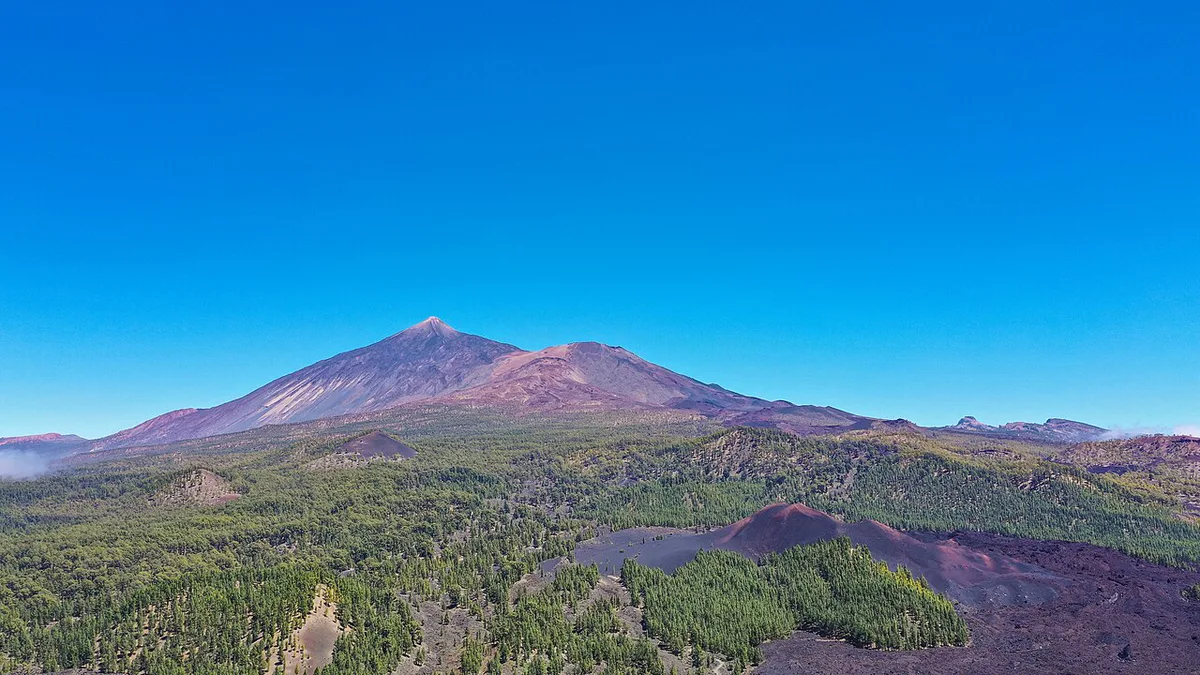
Teide is dormant, not extinct. Dormant means it is not erupting now but could erupt again. In volcanology, active describes a classification, not present conditions. Both IGN and INVOLCAN use that classification for Teide. Status note: this page does not quote a live alert level, because levels can change. Read the current level on INVOLCAN's site on the day you travel.
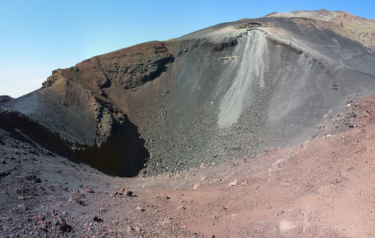
What an active volcano means
Volcanologists usually call a volcano active if it has erupted during the Holocene, roughly the last 11,700 years, or shows signs of unrest. Teide meets both tests. Eruptions in 1706, 1798 and 1909 fall inside that window, and seismic unrest has been reported since 2016. Dormant is a looser label for an active volcano that is quiet between eruptions. Extinct volcanoes are not expected to erupt again. For the wider geology, read how the island's volcano formed.
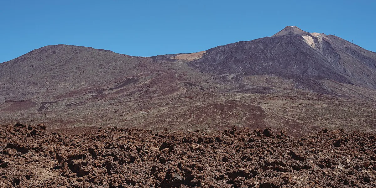
| Status | What it means | Where Teide sits |
|---|---|---|
| Active | Erupted in the Holocene or shows unrest | Yes: classed as active by IGN and INVOLCAN |
| Dormant | Active volcano that is quiet between eruptions | Yes: not erupting now |
| Extinct | Not expected to erupt again | No |
Teide's eruption history and the 1909 Chinyero eruption
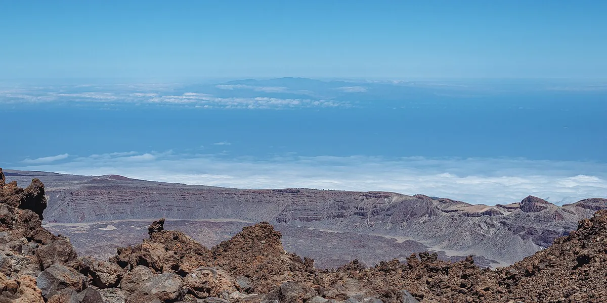
Violent eruptions from the older Las Cañadas volcano date back about 200,000 years. Historical eruptions on Tenerife are few, and the three below all came from flank vents.
- 1706: an eruption destroyed the port of Garachico and several smaller villages. Accounts attribute it to the Montañas Negras vent.
- 1798: eruptions from Narices del Teide, on the western flank of Pico Viejo.
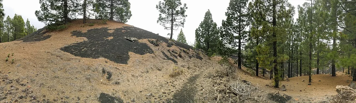
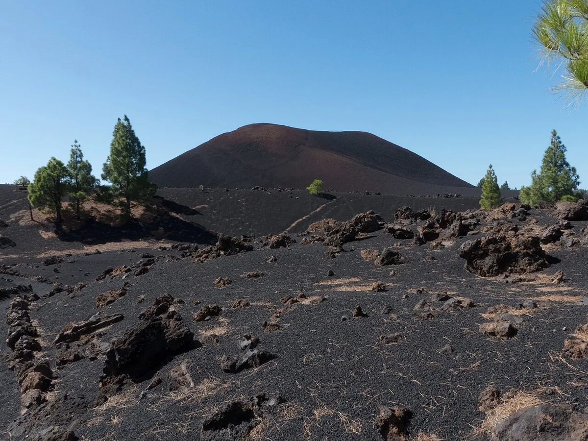
- 1909: the Chinyero eruption, the last eruption recorded on Tenerife.
Signs of unrest and what they mean
Unrest means a volcano is giving off signals. Unrest is not an eruption, and many volcanoes show it for years without erupting. Teide has reported unrest since 2016, with most quakes at 8–12 km (about 5–7.5 miles) depth. Quakes that deep are rarely felt at the surface. Scientists read these signals together, and one signal alone rarely tells the full story.
Weather is the likelier visit disruption, since most Teide quakes sit at 8–12 km (about 5–7.5 miles) depth.
- Seismic swarms: clusters of small quakes in one area.
- Deep quakes: events far below the surface, which differ from shallow ones.
- Ground deformation: swelling or sinking measured by instruments.
- Gas emissions: changes in the amount or makeup of gas at vents.
How Teide is monitored and what alert levels mean
IGN runs Spain's national seismic network, and INVOLCAN studies and monitors volcanic activity across the Canary Islands. UNESCO's park datasheet notes that volcanic seismic activity at Teide is constantly monitored. Spain communicates volcanic status on a traffic-light scale, and green is the baseline level. Dormant therefore never means unwatched. Read the exact wording of each level on the current alert level pages rather than relying on summaries elsewhere.
Could Teide erupt again, and what would happen?
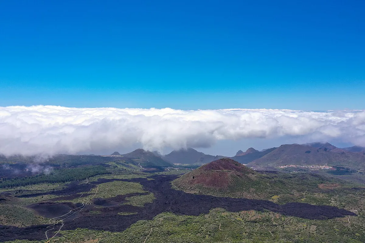
A future eruption is possible, because active volcanoes can erupt again. Published probability estimates vary widely between models. No single figure is reliable enough to plan a trip around. Tenerife's three historical eruptions all came from flank vents, so a future eruption would not necessarily start at the summit. La Palma's 2021 eruption happened on a different island and says nothing about Teide's timing. Official bodies, not travel pages, decide any closures or evacuations.
Is it safe to visit Mount Teide now?
Weather and altitude are far more likely to disrupt a visit than an eruption. Teide's summit stands at 3,718 m (12,198 ft), and some sources quote 3,715 m or 3,781 m. We use the 3,718 m altitude from UNESCO's park datasheet. Winter lows near the summit can fall below -15°C (5°F), and westerly storm winds can reach 200 km/h (124 mph). Check AEMET weather warnings before you go. Our notes on Teide's mountain weather explain what to expect, and when to visit helps you choose a month. The cable car operator runs between stations at 2,350 m (7,710 ft) and 3,550 m (11,647 ft). If you worry about disruption, book flexible cable car tickets. Access rules come from the park authority and operators, so treat this table as a checklist, not a forecast.
| Access point | What can change | Where to check |
|---|---|---|
| Cable car | Service can stop for weather or safety reasons | Teleférico del Teide, the operator |
| Summit permit | Needed for the final stretch beyond the upper station | Teide National Park official site |
| Hiking trails | Park authority can restrict or close routes | Teide National Park official site |
| Roads TF-21 and TF-38 | Both serve the park and can close if conditions require | Local road and weather information |
| Park closures | Parts of the park or all of it can close | Park official site and INVOLCAN |
Mistakes to avoid before you go
Most status confusion comes from a handful of habits. Avoid these four.
Stations at 2,350 m (7,710 ft) and 3,550 m (11,647 ft) mean the final stretch needs a summit permit, so plan for that before you go.
- Relying on social posts for alert status instead of INVOLCAN.
- Assuming dormant means no monitoring.
- Treating a quake headline as an eruption warning.
- Skipping the altitude and weather check before the summit.
What you can still see that is volcanic
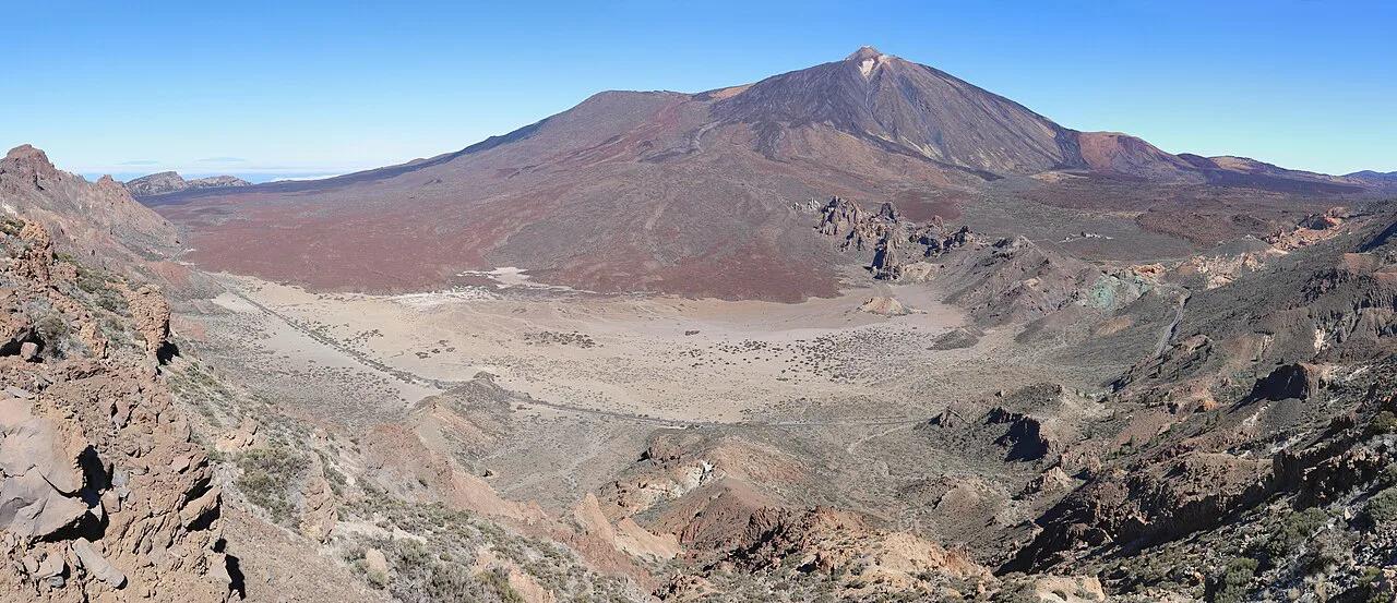
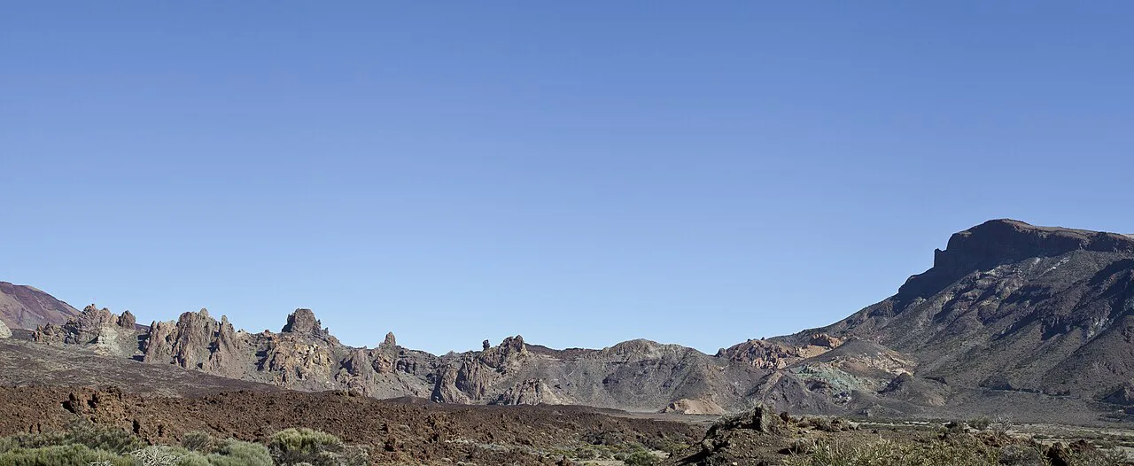
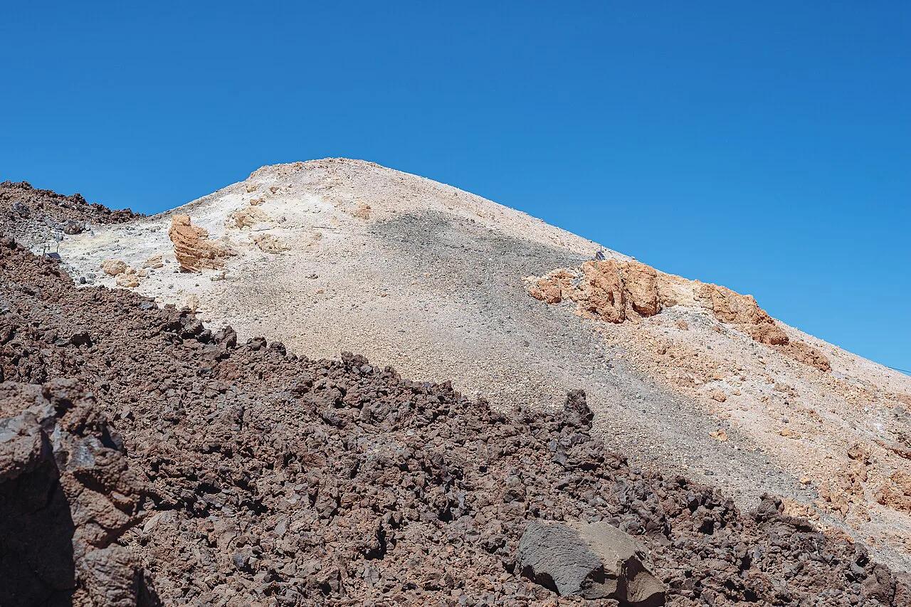
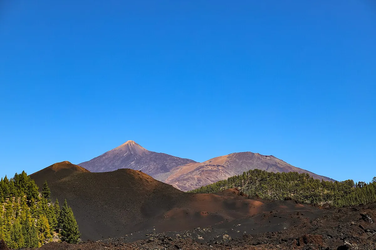
Fumaroles near the summit crater release warm gas, and visitors sometimes notice a sulphur smell. That is routine for a dormant volcano. Lava fields cover the caldera floor at about 2,000 m (6,560 ft), walled by a 600 m (1,970 ft) escarpment of coloured rock. Roques de García rock formations are a good place to read that landscape. Pico Viejo's lava flows are another, and Pico Viejo itself stands at 3,134 m (10,282 ft). Together they show why UNESCO listed Teide National Park in 2007.
How Teide compares with Etna and La Palma
UNESCO's datasheet describes Teide's lava as more felsic and quiescent than the very active basaltic volcanoes it is compared with. Teide rises about 7,500 m (24,600 ft) from the ocean floor. For a side-by-side look, read Teide compared with Etna. La Palma's 2021 eruption is a separate case on a different island. Keep height and geology figures handy for the numbers.
Frequently Asked Questions
What volcano is due to erupt in 2026?
No volcano erupts on a schedule. Scientists track unrest and publish alert levels instead of dates. For Teide, read the current level on INVOLCAN before you travel.