Pico Viejo, Tenerife: How to Hike It and What to See
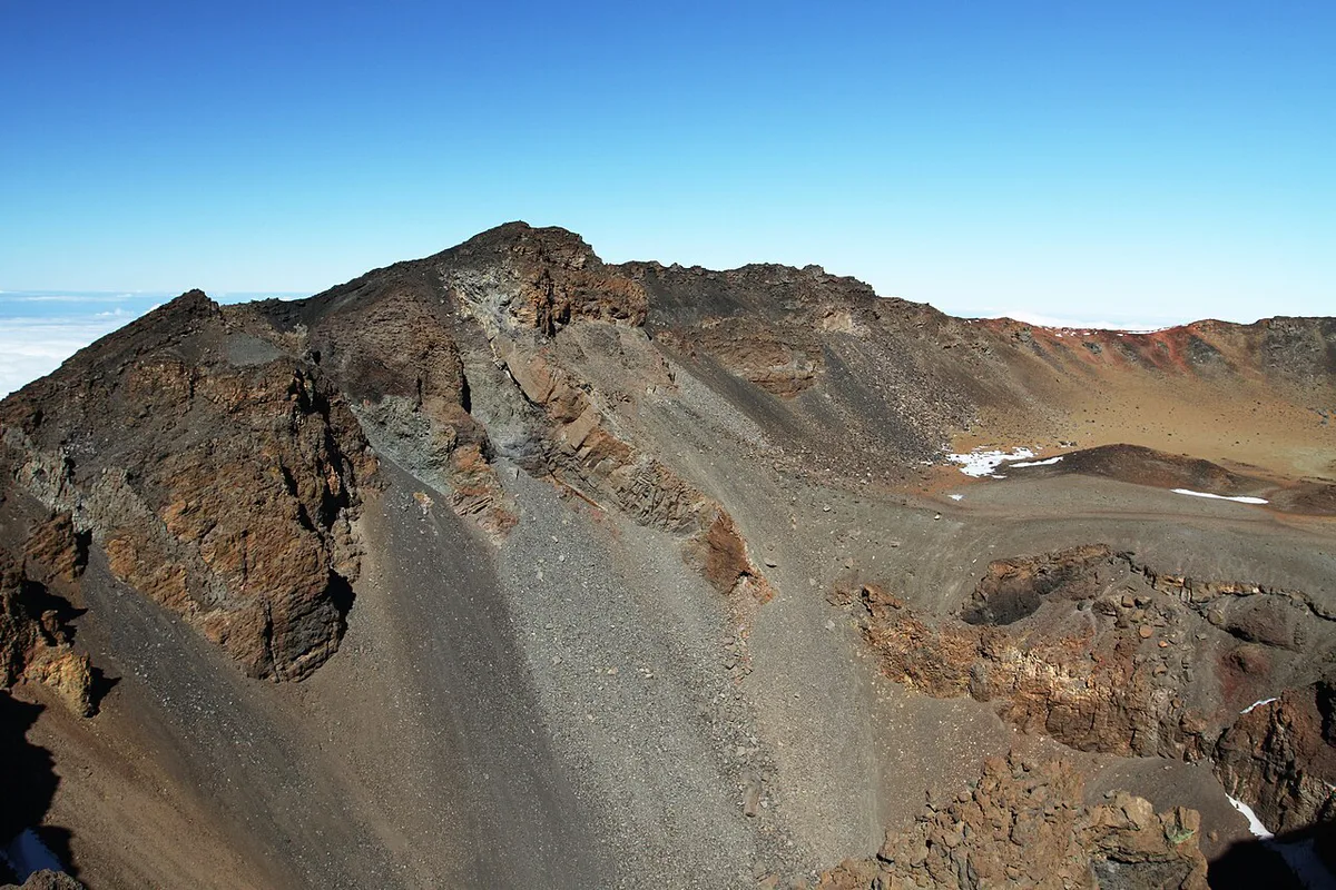
Last updated November 2026: Pico Viejo is the second-highest volcano on Tenerife, standing beside Teide inside Teide National Park. Its crater is easy to view from the walk beside the cable car top station. Reaching the rim takes a long, poorly marked hike, so this guide sorts viewpoint visitors from full hikers.
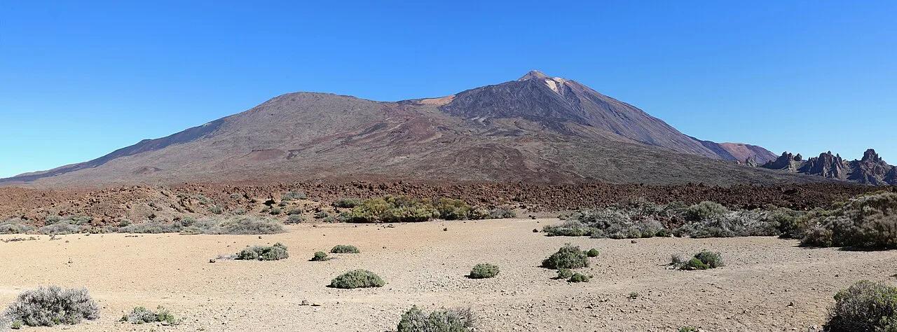
Featured image: Ingo Mehling, CC BY-SA 4.0, via Wikimedia Commons.
Pico Viejo at a glance
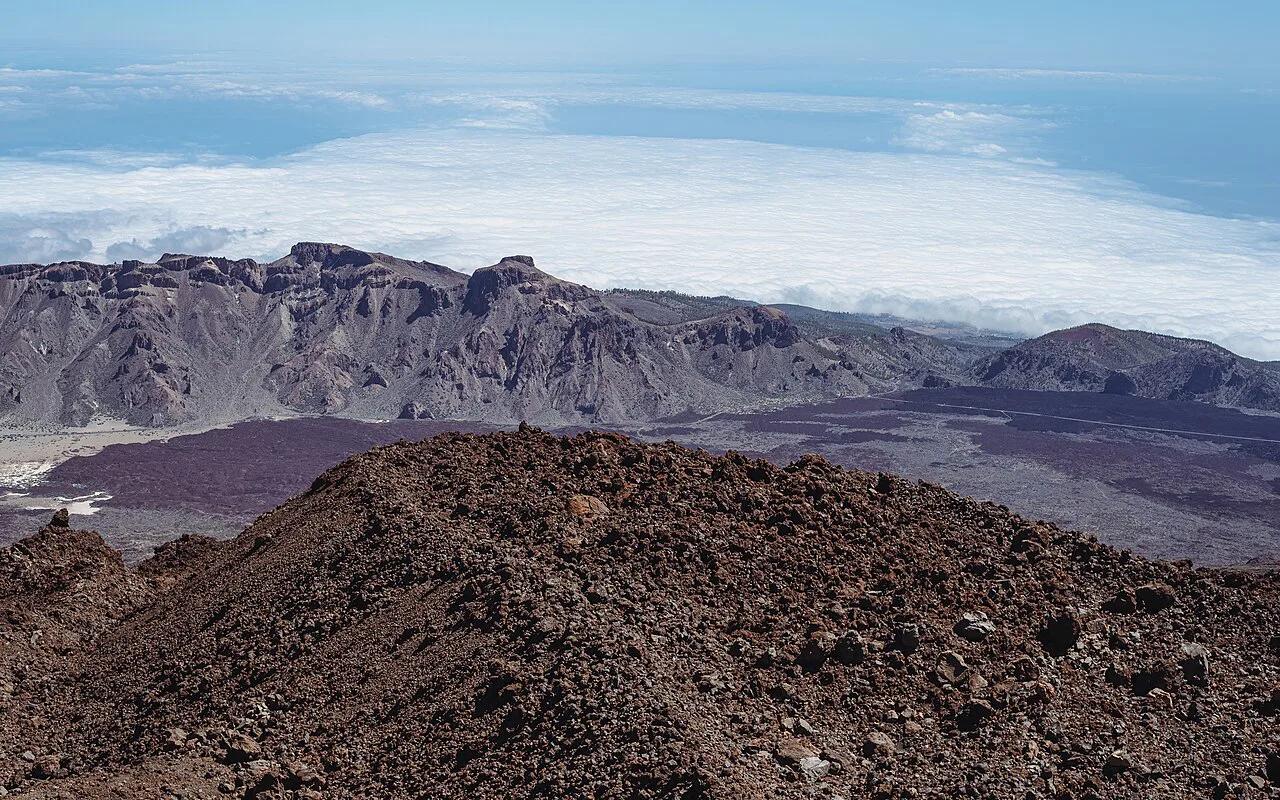
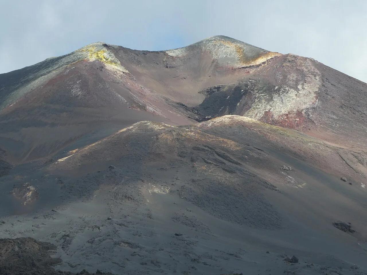
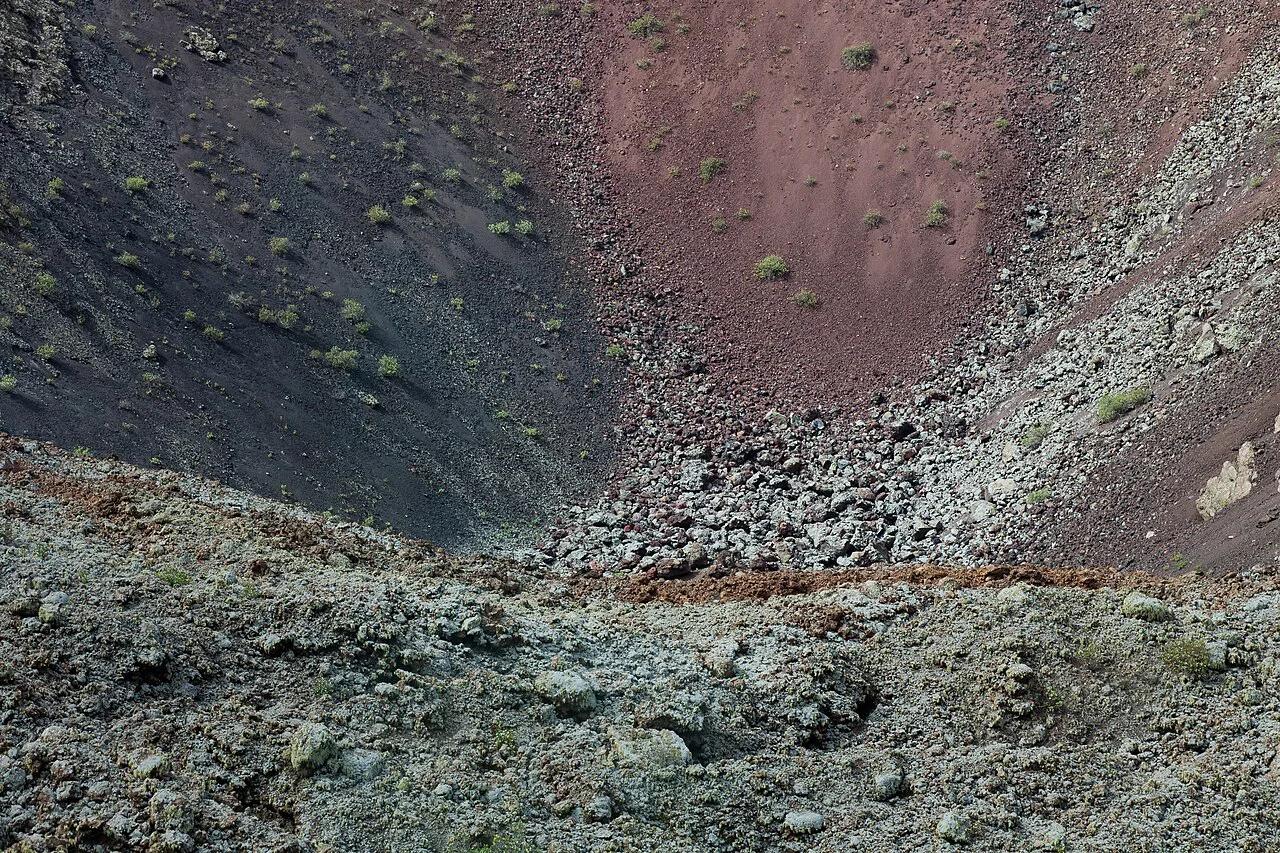
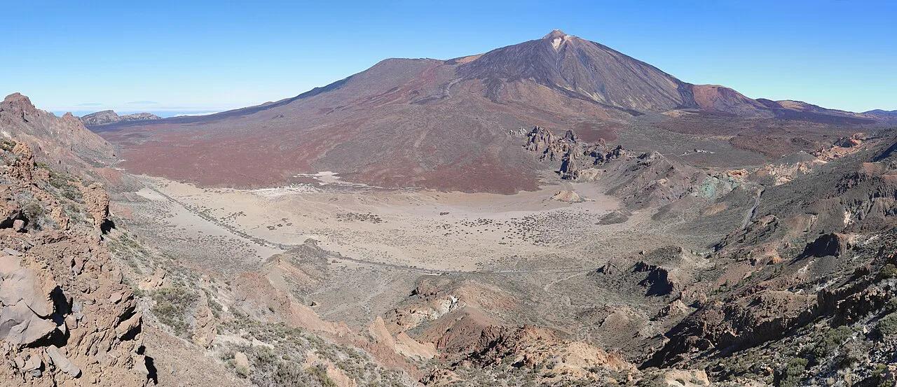
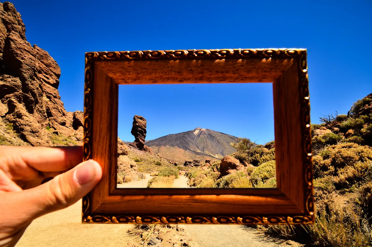
Pico Viejo is a volcano in Teide National Park, standing next to Teide in Santa Cruz de Tenerife Province. Wikidata lists its summit at 3,135 m (about 10,285 ft) and its topographic prominence at 65 m. Its large summit crater is called Chahorra. Hiking guides record black lava flowing from the Narices del Teide, vents on its flank, during the 1798 eruption. For the wider geology, read our guide to Tenerife's volcano. Current activity is covered in whether Teide is active. Cross-check elevation figures against INVOLCAN, the Canary Islands volcano institute if you need precision. Decision first: a short walk from the cable car top station gives you a crater view, while the rim needs about 6 h on foot.
- Elevation: 3,135 m (Wikidata), second only to Teide on the island
- Location: Teide National Park, next to Teide
- Summit crater: Chahorra
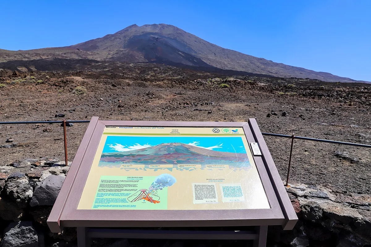
- Flank vents: Narices del Teide, black lava in 1798
- Nearest big neighbour: Teide at 3,817 m
Pico Viejo vs Teide: how they differ
Teide reaches 3,817 m, so Pico Viejo stands about 680 m lower. Teide gets the queues, the cable car and the summit permits. Pico Viejo is the quieter, harder-to-reach crater with lava fields around it. For summit detail, use our Mount Teide guide. Cable car specifics sit in our cable car guide.
| Point | Pico Viejo | Teide |
|---|---|---|
| Elevation | 3,135 m | 3,817 m |
| Main draw | Huge summit crater, lava fields | Highest peak in Spain |
| Access | Long hike, or a short viewpoint walk from the cable car top station | Cable car to 3,555 m, then a permit-controlled summit path |
| Crowds | Quiet away from the cable car | Busy around the cable car |
| Permit | None identified for the trails; check the park site | Time-slotted permit for the summit path |
| Cable car | Helps for the viewpoint and the Sendero 9 descent | Main route to the top |
Ways to see or hike Pico Viejo
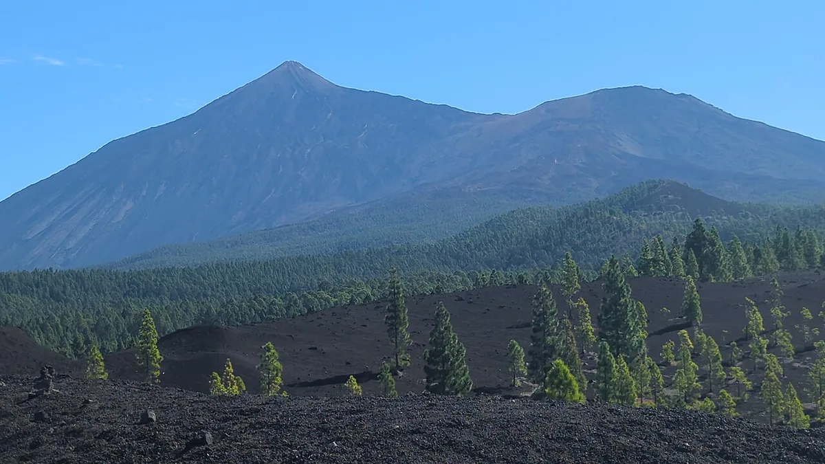
Four options cover most visitors. The cable car top station sits at 3,555 m, which saves most of the climb. Fares and wind closures change, so read the official cable car site for current prices and status. Use our Teide map to place each start point.
| Option | Time and distance | Effort and terrain | Permit and logistics | Best fit |
|---|---|---|---|---|
| Cable car top station viewpoint trail | About 0.5 km each way | Easy, paved with large stones | Cable car ticket needed | Anyone who wants a crater view |
| Sendero 9 from the cable car side, down to the Parador | Long day; ends at about 2,100 m | Challenging, with lava and rugged ground | Needs transport back; bus options are limited | Strong walkers who want a one-way crossing |
| Loop from Mirador de Chio | 13.67 km (about 8.5 miles), about 6 h, 1,063 m ascent | High difficulty; scree, lava crossing, little waymarking | Own car and GPS track | Experienced navigators |
| Sendero 9 variant of the loop | Adds 1.5 km (about 0.9 mile) | Avoids the scree and lava field; signposted | Same car start | Hikers who want the safer line |
Hike from Mirador de Chio: what to expect
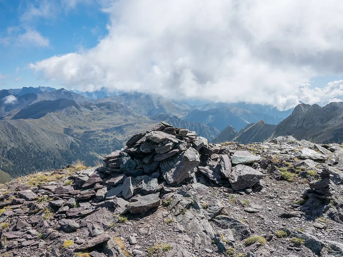
This loop is rated high for difficulty, fitness and surefootedness. It covers 13.67 km with 1,063 m of ascent in about 6 h. Entry leaves the TF-38 road at a right angle, with little or no visible path. The first 1.7 km crosses scree and needs exact GPS tracking. A narrow black lava crossing follows, and cairns appear only now and then. Once you reach Sendero 9, signposts take over. You pass the Narices del Teide on the left. A sandier, deeper path branches left about 200 m later, so stay on Sendero 9. On a clear day the Pico Sur detour adds about 45 minutes and shows Pico Viejo and Teide side by side. Sendero 9 descends about 4 km with views of the lava fields toward Chinyero. This is a navigation hike, not a casual walk, so carry an offline GPS track and do not count on phone signal.
Permits, tickets and access rules
Pico Viejo itself has no separate permit that we can point to. Park rules change, so read the Teide National Park official page before you go. A cable car ticket is not a permit for the Teide summit path. An older hiking account lists that path as open 9:00 to 16:00 with a time-slotted permit. Current prices are not quoted here because the operator sets them. Compare options in our cable car ticket guide.
Weather, season and safety
Terrain rises from about 2,100 m at the Parador to 3,135 m on the summit, so expect cold and strong sun. Lava stones are sharp, and snow can hide the path quickly. Check the AEMET forecast before starting. Our Teide weather guide explains local patterns. For seasons, see the best time to visit Teide. No food or water is on the route, so carry both.
- Turn back if snow covers the lava and you cannot see the path.
- Turn back if cloud hides the next cairn or signpost.
- Turn back if you are behind schedule at the halfway point.
- Wear sturdy boots, layers, sun protection and enough water.
Getting there and getting back
Driving to Mirador de Chio keeps you independent, but the hike returns you to the same car. For a one-way crossing, plan the end point first. An older account describes one morning bus from Puerto de la Cruz with a return around 16:00. Check current times on the TITSA site. The Parador car park sits about 3 km from the road link mentioned in that account. Arrange a taxi or lift before you start. For full options, use our guide to getting to Teide.
Combine it with nearby sights
Some sights pair well with Pico Viejo, and others need their own day.
- Narices del Teide: on the Mirador de Chio route, so it pairs naturally.
- Roques de García: easy road access and crowds, a good finish after the Parador descent.
- Montaña Reventada: a separate outing rather than an add-on.
- Guajara: deserves its own day, with views across the whole caldera.
Is Pico Viejo worth it? Who should skip it
Strong hikers with GPS skills get the quietest crater in the park. Casual visitors get a good view from the cable car walk. Skip the full loop if you start late, hate loose lava or lack navigation tools.
- Choose the viewpoint walk if you have a few hours and a cable car ticket.
- Choose Sendero 9 if you can handle a long day and have a ride arranged.
- Choose the Mirador de Chio loop only with GPS and good fitness.
- Mistakes to avoid: underestimating the lava crossing, relying on phone signal, starting late, assuming a cable car ticket covers a permit, and setting off in snow.