Mount Teide Map: Park Layout, Trails & Which Map to Use
Last updated November 2026: a mount teide map is easiest to read as one large caldera park with the peak at its centre, crossed by the TF-21 and TF-38 roads. Use the park authority's official map for orientation, a downloaded offline map for trails, and a topographic tool for contours. Our full Teide guide covers the rest of the trip.
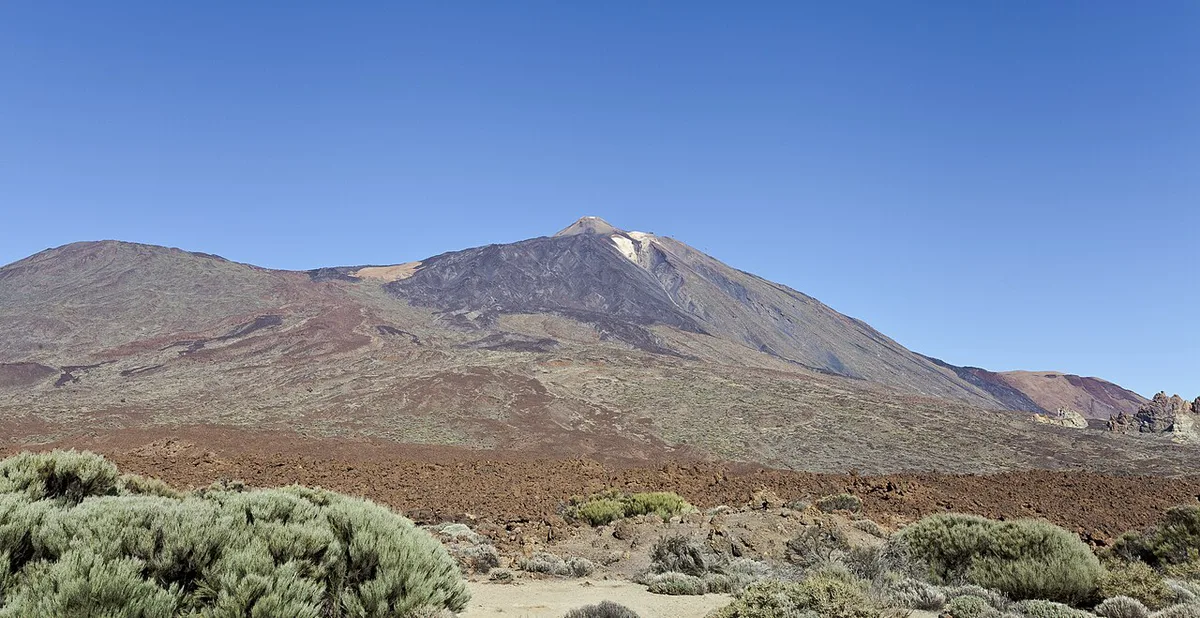
Featured image: Diego Delso, CC BY-SA 3.0, via Wikimedia Commons.
Mount Teide map: park layout and main landmarks
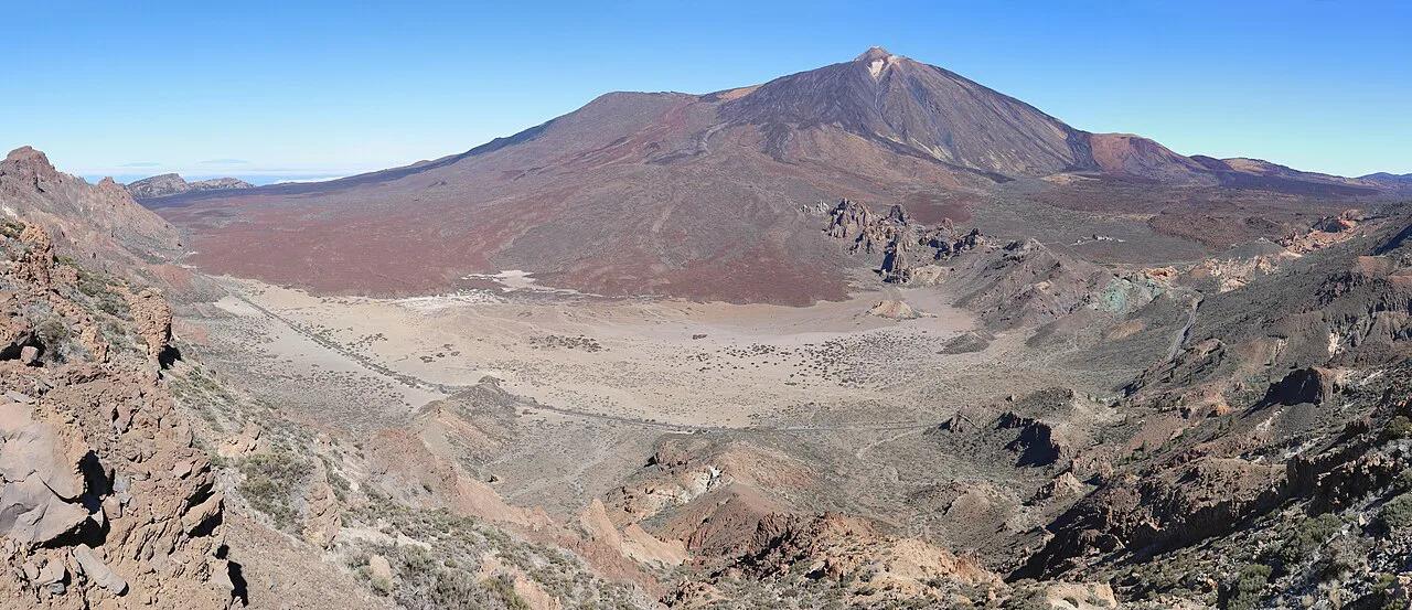
Teide National Park sits in northern-central Tenerife, and Pico del Teide is its focal point. Park maps show two main roads, TF-21 and TF-38. Visitor centres stand at El Portillo and Cañada Blanca, and the cable car base station is the other fixed point to mark. Summit elevation is commonly given as 3,715 m (about 12,188 ft). Some grid-based topographic tools print 3,685 m, so treat the official figure as the reference. Our Teide facts page collects the elevation details.
| Landmark | What it is | How you reach it | Best for |
|---|---|---|---|
| Pico del Teide | Summit of the park | Cable car, or the walk up from Montaña Blanca | Big views and altitude |
| Pico Viejo | Neighbouring volcanic peak | On foot, by signed route | Quieter crater scenery |
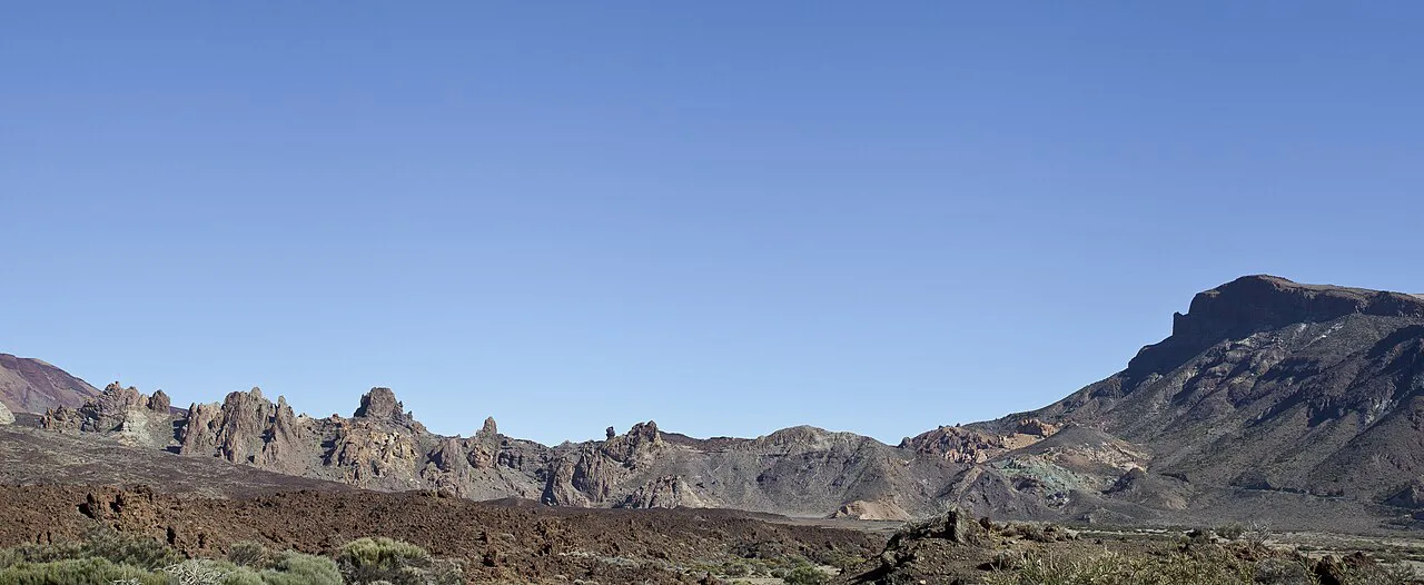
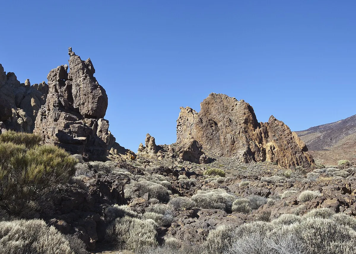
| Roques de García | Rock formations near the Parador area | On foot from the park road | Short walks and photos |
| Llano de Ucanca | Flat plain below the rocks | Seen from the Roques de García area | Orientation and viewpoints |
| Montaña Blanca | Common trailhead for the summit climb | By road, then on foot | Hikers starting the ascent |
| Cable car base | Lower station of the cable car | By road or bus | Visitors who want the summit fast |
Which Teide map to use
Pick the map by task, not by name. One free third-party map prints on 4 sheets (A3 or A4) with a 20 m contour interval, which suits planning at a desk. Costs and terms change, so read them before you download anything. Paper and screenshots cannot show live trail closures or wind. Pair any map with current mountain weather and the AEMET forecast.
| Map type | Cost | Offline use | Trail detail | Trust level | Suits |
|---|---|---|---|---|---|
| Official park or visitor-centre map | Not listed here | Paper copy works anywhere | Official trail list and park roads | Highest | Everyone, especially first visits |
| Offline GPS app (Avenza-style) | Some maps free | Yes, if downloaded in advance | Live position on trails | Medium; depends on the author | Hikers who want GPS |
| Topographic tool | Often free | Usually needs a connection | Contours and elevation | Medium; grid resolution varies | Reading terrain and slopes |
| Printable PDF | Print at home | Yes | Varies by file | Varies; some files give wrong distances | Planning before you travel |
Getting around the park: access and logistics
Plot TF-21 and TF-38 first, because every viewpoint and trailhead hangs off them. Mobile signal can drop inside the park, so download your map offline before you drive in. Bus and parking options are in our getting there guide, and TITSA publishes the bus timetables. A cable car ride shortens the summit day and leaves time for the Roques de García loop.
Summit access and permits: what the map won't tell you
Walking beyond the cable car's upper station needs a permit. Read the rules and booking route on the official park page before you plan. Fares and wind closures are listed in our cable car ticket guide. Seasonal timing is covered in our best-season guide.
Choosing a Teide map by visitor type
Each kind of visitor needs a different level of detail.
Serious hikers wanting a paper backup should note the free third-party map prints across 4 sheets. Print it before you leave home.
- Drivers: the official park map plus an offline road map for TF-21 and TF-38. Add a stop at the Mirador de la Ruleta, Teide: Viewpoint Guide and Stop Planning viewpoint.
- Casual walkers: the official map and a short signed trail near Roques de García.
- Serious hikers: an offline GPS map, a paper backup and the route toward Pico Viejo's crater.
- Layout-curious visitors: a topographic viewer at home, then the visitor centres at El Portillo or Cañada Blanca.
Common map mistakes to avoid
Most Teide navigation problems come from trusting a map too much.
Some topographic tools print 3,685 m for the summit, while the reference figure is 3,715 m. Compare both numbers before you plan an altitude-dependent day.
- Trusting distances on third-party maps. One map author warns that some official trail distances are clearly wrong.
- Underestimating altitude. The summit is near 3,715 m, and exposure rises quickly.
- Relying on phone GPS with no offline download.
- Treating a saved map as a closure notice. Check the official park page on the day.
Frequently Asked Questions
Where is Mount Teide on a map of Tenerife?
Tenerife is one of the Canary Islands, in the province of Santa Cruz de Tenerife. Teide National Park sits in the northern-central part of the island, with Pico del Teide as its focal point.
How much is the cable car to Teide?
Fares are set by the operator and change over time. Read the current price on the official cable car site.