La Palma Volcano: 6 Ways to See Tajogaite & Cumbre Vieja
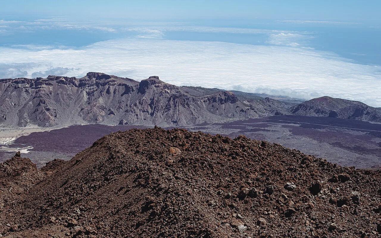
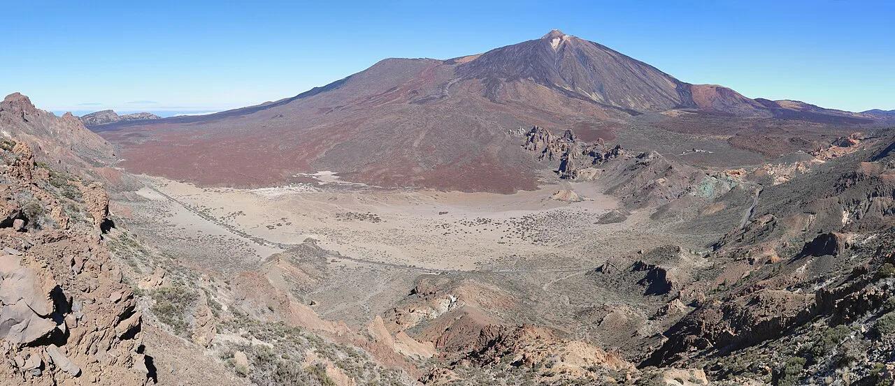
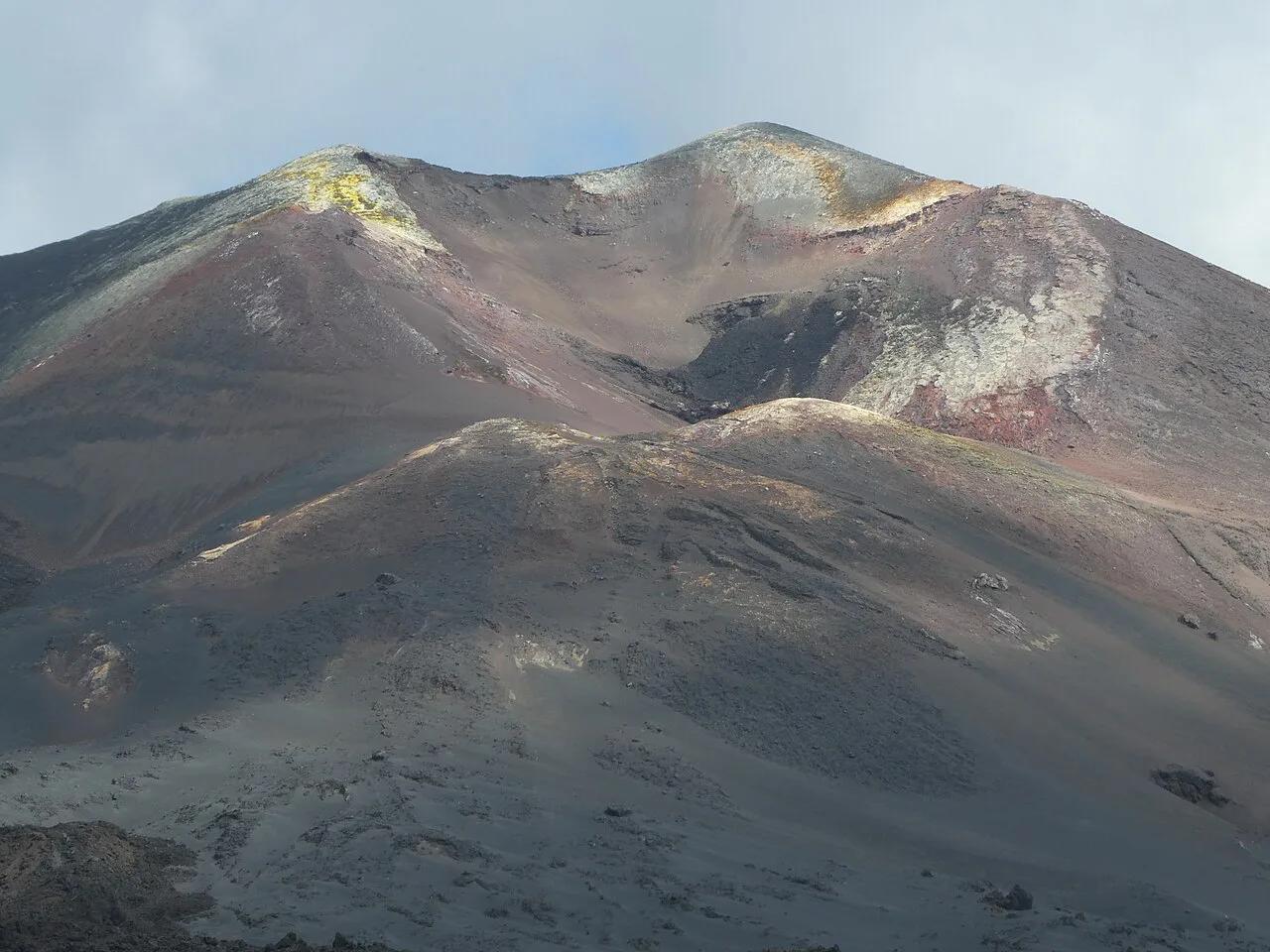
Last updated November 2026: the La Palma volcano is the Cumbre Vieja ridge, and its 2021 eruption left a new cone and lava fields that visitors can now see and walk near. Status and trail access change, so check INVOLCAN's monitoring updates before you set out. Below are six ways to see it, from ridge walks to roadside viewpoints, with the safety and timing details that matter.
Featured image: CARLOS TEIXIDOR CADENAS, CC BY-SA 4.0, via Wikimedia Commons.
Quick Answer: Is the La Palma Volcano Still Active?
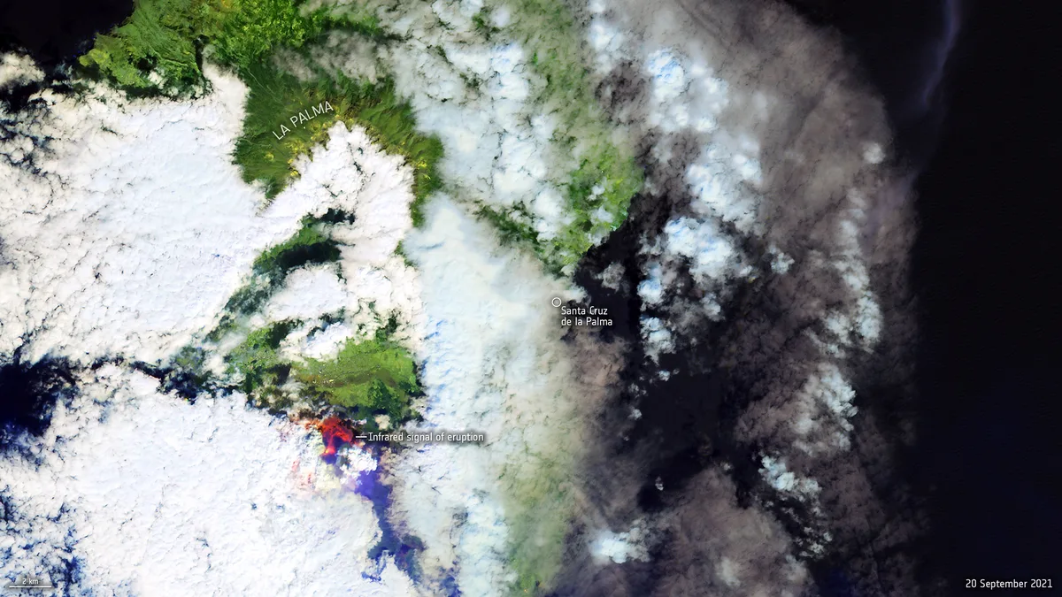
Cumbre Vieja is a volcanic ridge, not a single peak. Its latest eruption began on 19 September 2021 and built the Tajogaite cone. Reports described it as the island's most significant eruption since 1585. That eruption has ended, but the ridge remains under scientific monitoring. Treat any trail as open only when official channels say so. Status last verified November 2026 against INVOLCAN and the Visit La Palma tourism site, so check the current alert level there before a trip.
What Happened in 2021
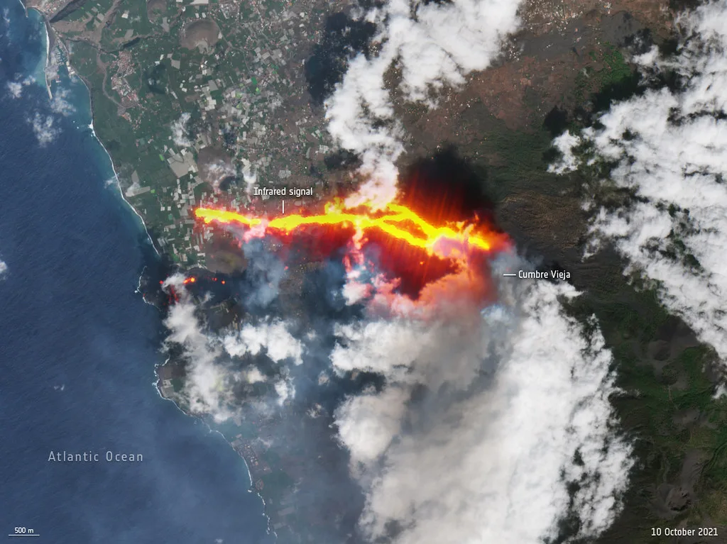
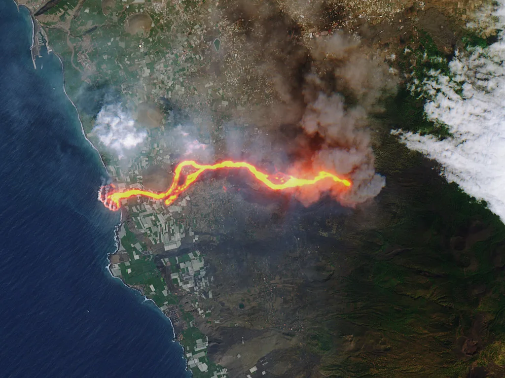
Lava began flowing from the ridge on 19 September 2021 after days of small earthquakes. Early reports put about 6,000 of the island's 85,000 residents among those evacuated, and later reports said about 7,000. El Paso, Los Llanos de Aridane and Tazacorte absorbed much of the damage. By 25 October 2021, regional officials counted 154 families who had lost their only home, and they ordered 200 prefabricated houses. Our Cumbre Vieja guide covers the ridge's wider eruption history. Many residents lost homes, so treat the affected areas as living communities rather than a disaster set.
Which La Palma Volcano Is Which
Four names cause most of the confusion in guides and on maps. This table separates them.
| Name | What it is |
|---|---|
| Cumbre Vieja | The volcanic ridge; reports use this name for the 2021 eruption |
| Tajogaite | The cone and lava fields formed in the 2021 eruption |
| San Antonio | An older cone at Fuencaliente |
| Teneguía | A volcano in the Fuencaliente area; check locally for visitor details |
6 Best Ways to See the La Palma Volcano
Prices and hours checked November 2026. No fees are quoted below because none are confirmed, so cost tiers (free, low, mid, high) stand in. Trail lengths, permits and closures vary by route, so ask the Cabildo or a local tourist office before committing to a walk.
Pair a Todoque stop with the island-wide picture, where later reports put evacuations at about 7,000 people.
1. Ruta de los Volcanes ridge walk
Ruta de los Volcanes is the long walk along the Cumbre Vieja ridge, passing a chain of cones and craters. It suits fit walkers who want the geology of the whole ridge, not only the 2021 lava fields. Plan most of a day, expect a free cost tier, and allow for high weather dependence because cloud and wind can erase the views.
Our ridge walk guide covers the route in detail. Start early, carry water and sun protection, and check the forecast for the ridge the evening before. Skip it if you have limited mobility, little time, or no sturdy boots.
2. Tajogaite cone and lava-field routes
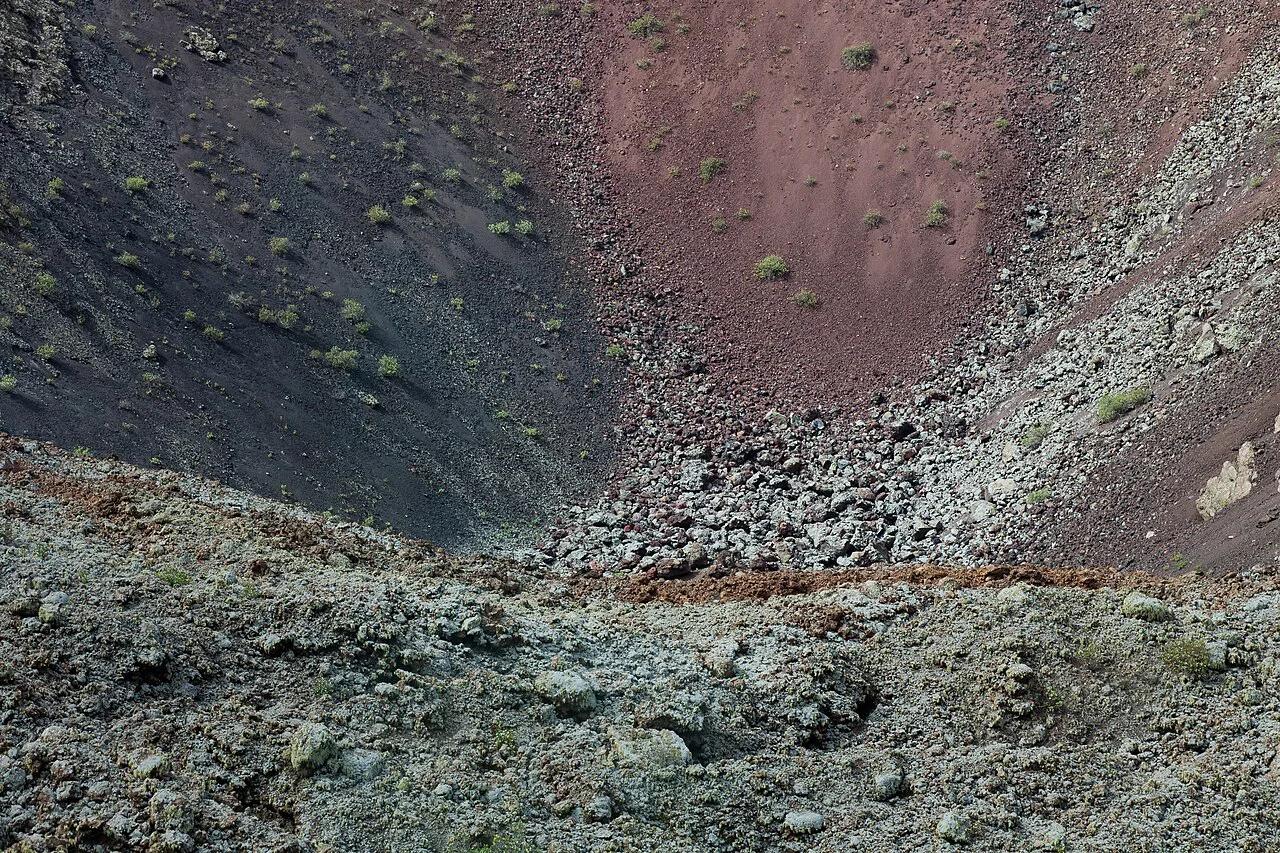
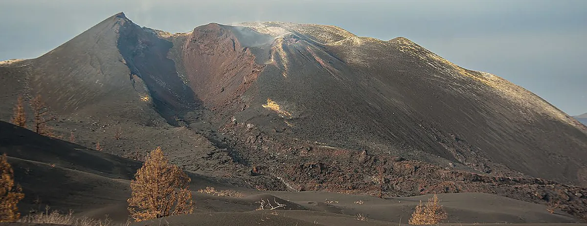
Tajogaite is the cone and lava field formed by the 2021 eruption, and it is the main reason most people search for the La Palma volcano. Our Tajogaite guide explains the routes to the cone and across the lava. Walkers see raw lava surfaces, ash slopes and new ground near the towns that were hit hardest.
Effort is moderate to high, time runs from half a day to a day, the cost tier is free to low, and weather dependence is medium. Stay on marked routes because the ground is unstable and gas can collect in hollows. Skip it if heat or loose footing worry you, and take a viewpoint instead.
3. San Antonio crater at Fuencaliente
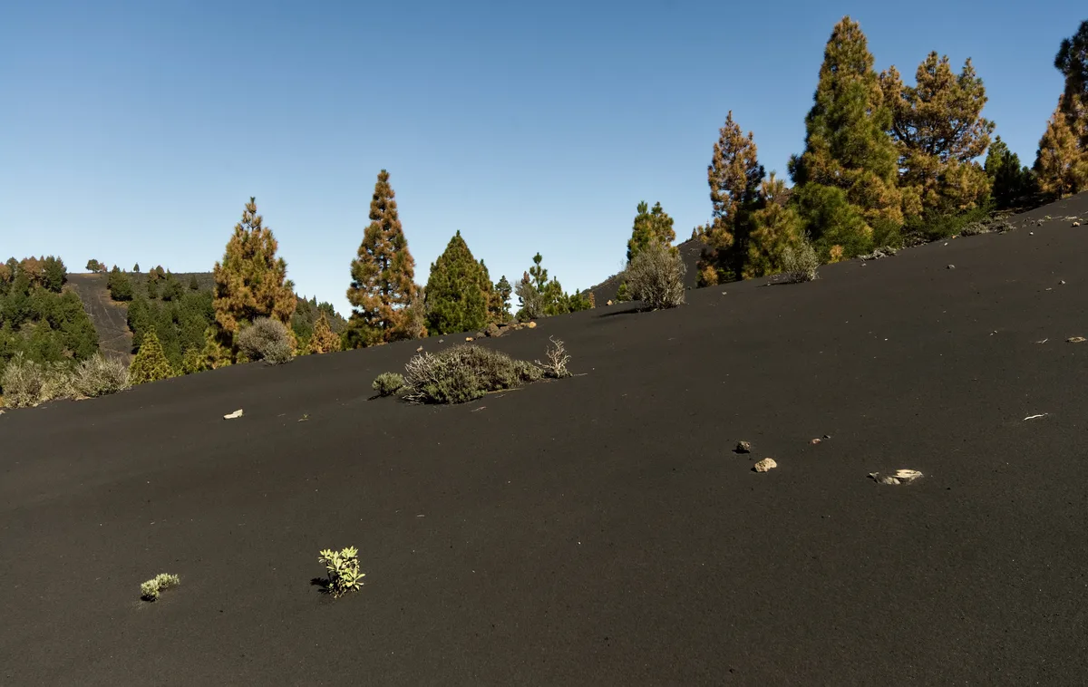
San Antonio is an older cone at Fuencaliente, so it shows volcanic scenery without the 2021 lava. Our San Antonio volcano guide covers what to see around the crater. It suits visitors who want a crater experience on a single outing, with low cost and medium weather dependence.
Plan a short to half-day visit and ask locally about current access arrangements. Road access to Fuencaliente was blocked temporarily in 2021 because of landslide risk, which shows how quickly conditions can change. Skip it if you want to see the 2021 lava fields, which lie at Tajogaite.
4. Todoque and the lava-buried neighborhoods
Todoque is one of the neighborhoods the 2021 lava threatened and partly buried. Our Todoque guide explains the area and how to visit respectfully. Many residents lost homes, and 154 families had lost their sole residence by 25 October 2021.
Go for context rather than photos of private loss, stay on public roads and keep noise down. Allow one to two hours, a free cost tier, minimal fitness, and low weather dependence. Skip it if you want a scenic hike, since this stop is about understanding the impact.
5. Viewpoints with no hiking
Roadside viewpoints show the ridge and the lava-field area without a hike. They suit families, older travelers, and anyone with a short window or poor weather. Expect a free cost tier, one to two hours, minimal fitness, and high weather dependence because cloud hides the ridge.
Combine them with a drive through Los Llanos de Aridane and Tazacorte to see where ash and lava affected the towns. Ask the island tourist office which viewpoints are open before you drive. Skip it if you want to stand on lava or look into a crater.
6. Guided tours, helicopter and boat options
A guided tour pairs a local guide with transport and current knowledge of closures. It suits first-time visitors, solo travelers, and anyone unsure about route-finding on lava ground. Expect a mid to high cost tier, half a day to a full day, fitness that depends on the route, and medium weather dependence.
Guides can explain the 2021 sequence at the sites, which a self-guided walk cannot. Helicopter and boat options sit at the high cost tier and depend heavily on air and sea conditions. Skip it if you prefer silence and your own pace.
Guided or Self-Guided: How to Choose
Choose self-guided walking for flexibility and the lowest cost. Choose a guide when closures, gas or route-finding worry you.
| Option | Cost tier | Time | Fitness | Weather dependence |
|---|---|---|---|---|
| Self-guided walk | Free to low | Half day to full day | Moderate to high | High |
| Guided tour | Mid to high | Half day to full day | Varies by route | Medium |
| Viewpoints only | Free to low | 1 to 2 hours | Minimal | High |
| Helicopter or boat | High | Short | Minimal | High |
Is It Safe? Gases, Ground and Access Rules
Reports from October 2021 recorded about 50,000 metric tons of sulphur dioxide a day and an ash plume reaching about 12,500 feet. Authorities then advised FFP2 masks. Those are historical eruption figures, not current conditions. Today's concerns are unstable ground, sulfur or CO2 pockets in hollows, and closures. Our La Palma safety guide sets out the practical rules. Tsunami fears spread online in 2021. A 2015 study cited by National Geographic found that the worst flank collapse would cause no more than a six-foot tsunami on western Atlantic coasts. Our tsunami explainer goes through the science.
Plan Your Time: 1 Day vs. 2–3 Days
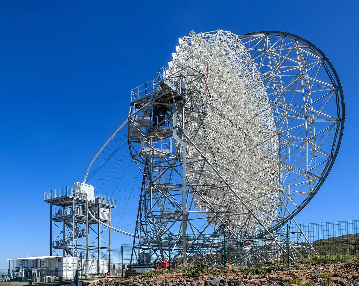
One day covers a single walk plus a viewpoint stop. Two to three days add the ridge walk, Todoque and a night under the stars. Roque de los Muchachos is the natural pairing, and Roque de los Muchachos: Visiting La Palma's Summit has its own guide. Our stargazing guide covers the night sky. Observatory details sit on the IAC observatory page.
| Time | Suggested plan |
|---|---|
| 1 day | Tajogaite or San Antonio, plus viewpoints |
| 2 days | Add the ridge walk or a guided tour |
| 3 days | Add Todoque, a rest day and a night at Roque de los Muchachos |
Getting Around and Where to Stay
A rental car is likely needed for trailheads and viewpoints. Bases worth considering are Los Llanos de Aridane, Fuencaliente and Santa Cruz. Roads changed during the 2021 eruption, and the Fuencaliente road was closed temporarily. Check road conditions, bus options and trail rules on Visit La Palma's official site before you plan your days.
Mistakes to Avoid
Walking off marked trails risks unstable ground and gas pockets. Trainers slip on loose lava and ash, so wear sturdy boots. Arriving without checking closures can waste a day. Treating the zone as a disaster-tourism stop is the worst error, because people live and rebuild here.
Frequently Asked Questions
Where is La Palma volcano located?
La Palma is one of Spain's Canary Islands. Its volcano is the Cumbre Vieja ridge, and the 2021 eruption affected El Paso, Los Llanos de Aridane and Tazacorte.
Are all the Canary Islands volcanic?
Yes, the archipelago is volcanic in origin. On La Palma, the 2021 Tajogaite eruption was reported as the island's most significant since 1585.
Explore More Guides
Keep planning your trip with these guides.
Guides
- La Palma Tsunami: Myth, Risk and Visitor Safety
- Cumbre Vieja, La Palma
- Roque de los Muchachos: Visiting La Palma's Summit
- Cueva de las Palomas: Location, Access and Virtual Visit
- Tajogaite Volcano, La Palma
- San Antonio Volcano (La Palma)
- Todoque, La Palma
- La Palma Stargazing: Best Spots, Tours & Planning Guide
- Ruta de los Volcanes La Palma: Guide, Distance & Tips
- Is La Palma Safe to Visit? Volcano & Travel Risks