Piano Provenzana: Etna North Side Access and Seasons
Last updated November 2026. Piano Provenzana, at roughly 1,800 m, is the north-side access area of Etna Park, reached from Linguaglossa. Visitors come to hike toward Punta Lucia, cycle the Linguaglossa climb, ski when snow allows, or join a guided tour. It suits people who want quieter volcanic terrain and pine forest more than the busier south-side base at Rifugio Sapienza.
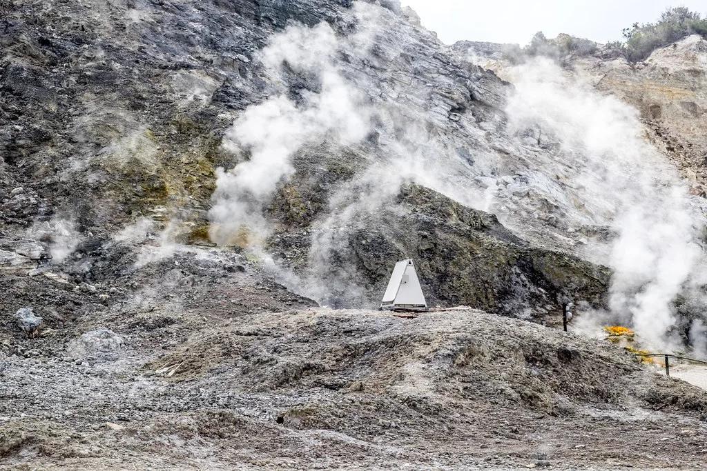
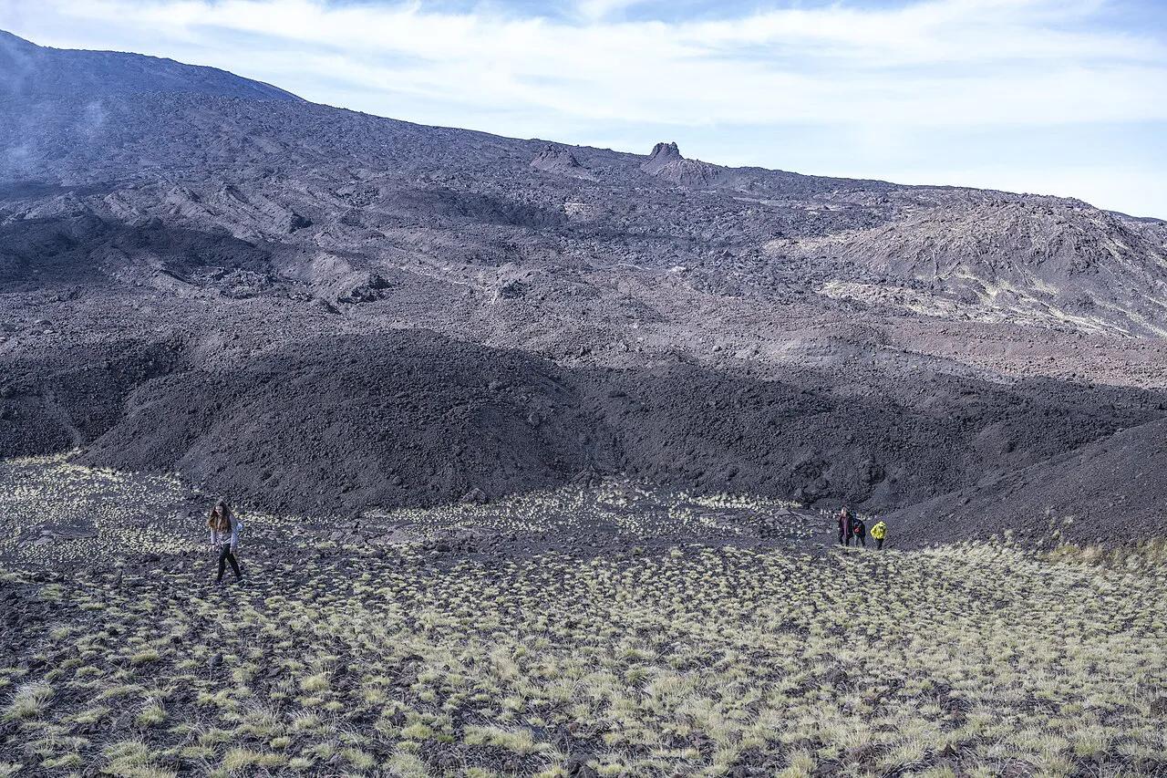
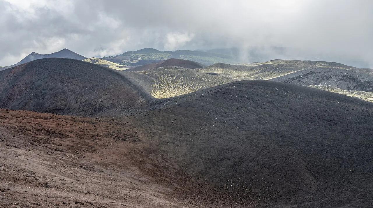
Featured image: gnuckx, CC BY 2.0, via Wikimedia Commons.
What Piano Provenzana Is (and How It Differs From the South Side)
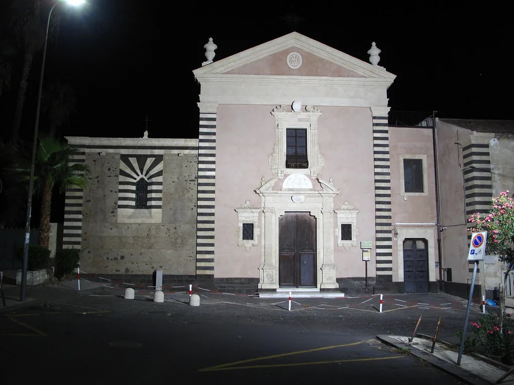
Piano Provenzana is the upper trailhead and former ski resort on Etna's northern flank, within the municipality of Linguaglossa. Published altitudes conflict: sources give 1,720 m, 1,805 m and 1,810 m. Treat it as roughly 1,800 m. The October 2002 lava flow destroyed the original ski resort, and the road up cuts through that flow. Rifugio Sapienza is the south-side counterpart, and Rifugio Sapienza, Etna: Cable Car, Jeep & Silvestri Craters Guide has its own guide. For a full comparison, read north versus south Etna. Both sides sit inside the park managed by Parco dell'Etna.
How To Get To Piano Provenzana From Linguaglossa, Taormina and Catania
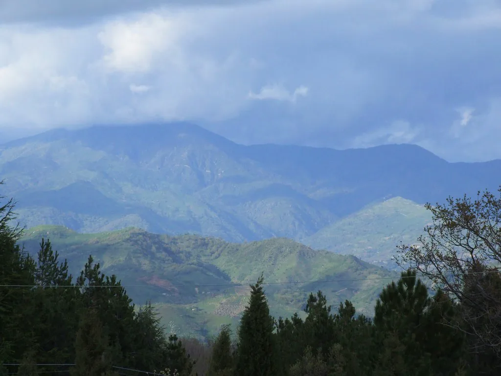
Linguaglossa is the gateway town. From there the SP120 climbs about 18 km through pine forest to the square at Piano Provenzana. Taking a car is the simplest option. Public transport to the top is not something to count on, so ask local operators about current services before planning around one. Tours from Taormina exist, and a north-side excursion typically runs around 7 hours. Visitors from Catania can follow the route in Catania to Mount Etna: Bus, Car, Tour or Taxi. Anyone preferring a guide can compare options in Mount Etna Tours: Which One to Book (Catania & Taormina). Base yourself in Linguaglossa to shorten the drive.
- Linguaglossa to Piano Provenzana: about 18 km by road
- Taormina tours: around 7 hours for a north-side excursion
- Self-drive is the flexible option; there is no dependable public transport to the top
Things To Do at Piano Provenzana: Hiking, Cycling, Skiing and Tours
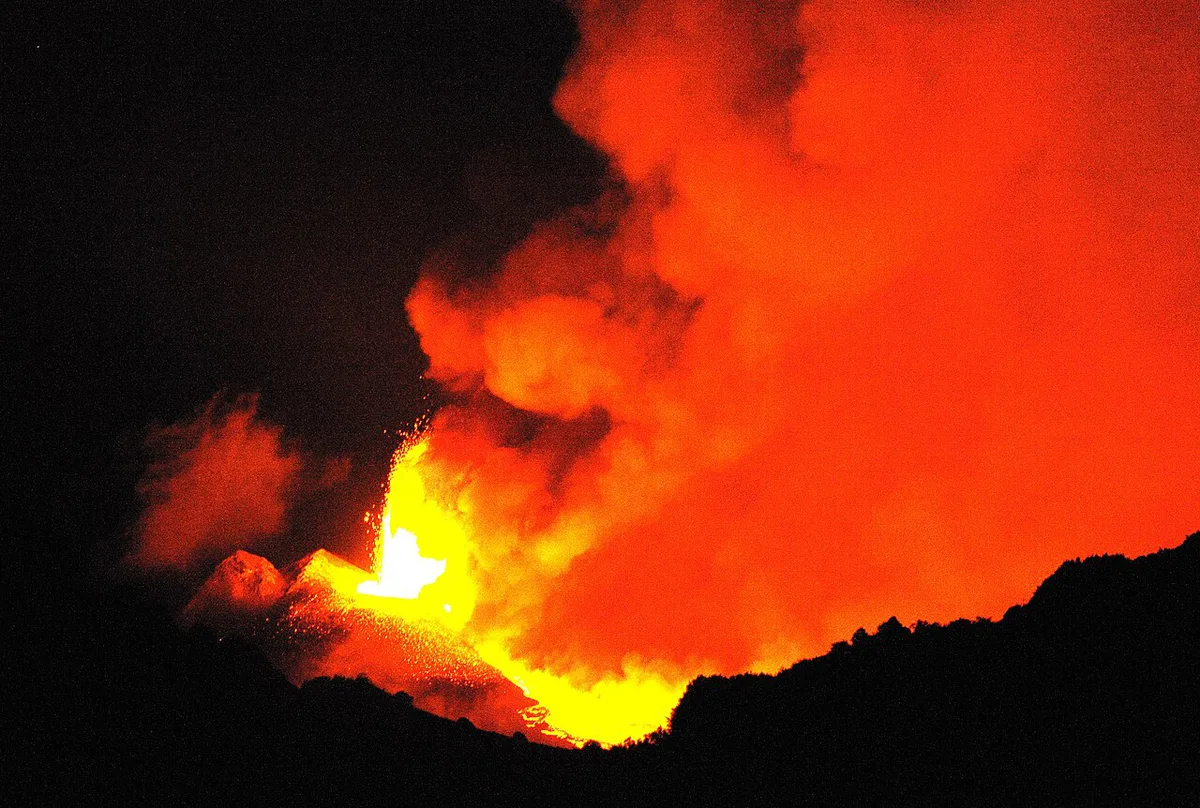
Activities change with the season, and mixing them in one day is rarely realistic. Use this table to pick one. Figures are rough planning numbers from route listings, not official park data.
Taormina day trips run around 7 hours, about the length of the Punta Lucia loop, so pick one activity per day.
| Activity | Effort | Rough figure | Best season |
|---|---|---|---|
| Punta Lucia hike | Hard | 20.1 km, about 7 hours | Late spring to autumn |
| Linguaglossa climb by bike | Hard | About 18 km, 1,168 m of climbing | Dry months |
| Skiing | Varies | Depends on snow and lift status | Winter |
| Guided north-side tour | Easy to moderate | Around 7 hours from Taormina | Year-round, conditions permitting |
Hiking Punta Lucia and Nearby Routes
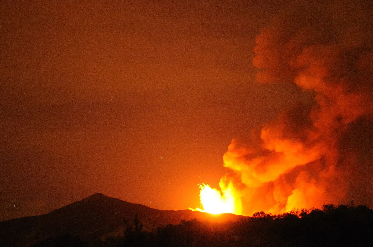
A hard 20.1 km loop leads from Piano Provenzana to Punta Lucia, with about 1,220 m of ascent and roughly 7 hours of walking. Hikers describe Punta Lucia as a sunrise viewpoint, and ice can linger there until late spring. A waypoint at 2,420 m marks where the Monte Nero delle Concazze path meets the road. The route crosses protected park land, so check local rules with the park first. For wider route ideas, see hiking Mount Etna. Shorter loops listed nearby suit a half day:
- Grotta di Serracozzo and Serra delle Concazze loop: 5.8 km, about 2 hours 49 minutes
- Path of the Craters of the 2002 eruption: 5.28 km, about 1 hour 44 minutes
- Panorama of the Valle del Bove and Schiena dell'Asino: 4.82 km, about 1 hour 34 minutes
Cycling the Linguaglossa Climb
Road cyclists climb from Linguaglossa at about 552 m to the square at Piano Provenzana. The route covers roughly 18 km with 1,168 m of climbing at a 6% average. The final 3 km exceed 10%, cut directly into the 2002 flow. Around kilometer 10, the Ragabo pine forest offers shade and the Brunek Refuge is a common stop. Sundays bring heavy motorcycle traffic, so a weekday start is easier. Carry layers, since the summit area is much colder than the town.
Wind is a different risk from cold: one guest described winds of roughly 100 km/h on a crater rim.
Skiing and Snow Conditions at Piano Provenzana
Skiing here is occasional and snow-dependent. Lift and slope status changes through the season, and snow-report sites often show no data. Before driving up, check the current ski operator's notice and the weather outlook. Our Mount Etna Skiing: North vs South, Season and Costs guide covers the wider picture. For forecasts, see Mount Etna Weather: Altitude, Seasons & What to Pack. A road that is open in town can still be icy near the top.
Best Season and Weather Planning
Winter brings snow and the chance to ski. Spring can still mean ice on exposed ridges, including near Punta Lucia. Summer is the easiest time to hike and offers cooler air than the coast. Autumn suits walkers who want pine and beech forest at lower elevations. Winds above the tree line can be severe, and one organized-tour guest reported roughly 100 km/h on a crater rim at about 3,300 m. For month-by-month advice, read Best Time to Visit Mount Etna: Month-by-Month Guide.
Access Rules and Safety on Etna's North Side
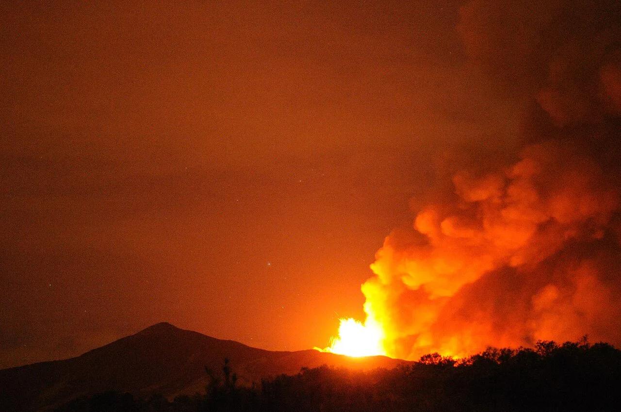
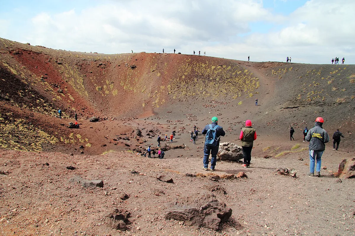
Higher zones are controlled by park and civil-protection rules, and areas close when the volcano is active. Do not enter restricted summit areas, even though some online comments describe doing so. Check INGV Osservatorio Etneo for activity bulletins. Eruption background is in Mount Etna Eruptions: What Visitors Need to Know. Guided ascents above the permitted zones are the safe route to the summit area. Prices and hours checked November 2026 were not available from official sources, so confirm costs with the operator you choose.
North vs South: Which Side Fits Your Trip
Pick the north for forest, quieter trails and a long cycling or hiking day. Pick the south for easier access to craters near the base. Compare the two below.
| Factor | Piano Provenzana (north) | Rifugio Sapienza (south) |
|---|---|---|
| Access town | Linguaglossa | Nicolosi area |
| Scenery | Pine forest and the 2002 lava flow | Craters such as Silvestri |
| Best fit | Hikers and cyclists | Short crater visits |
Pair this with our broader tourism attractions guide for the full city overview.