Mount Etna 1669 Eruption: What Happened and Where to See the Lava Today
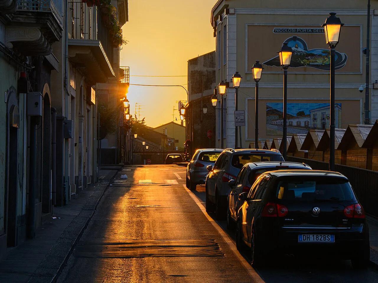
Last updated November 2026: the Mount Etna 1669 eruption began on the night of 10–11 March 1669 on the volcano's southern flank near Nicolosi. It lasted 122 days, built the Monti Rossi cones, buried more than a dozen villages and sent lava into Catania and the Ionian Sea. Casualty figures are disputed, and this guide also shows where you can still see the lava today.
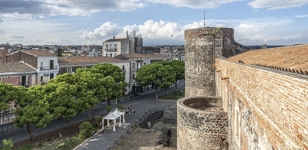
Featured image: Cayambe, CC BY-SA 4.0, via Wikimedia Commons.
The Mount Etna 1669 Eruption in Brief
Earthquakes began on 25 February 1669 and destroyed Nicolosi on the night of 10–11 March. After midnight a fissure opened on Etna's southern flank, and lava soon poured toward the populated slopes below. Lava reached Catania's walls in April, then began entering the sea. The eruption ended on 15 July. Contemporary accounts record no deaths, although later retellings give far higher figures. This guide is a history-and-sites spoke. For general visiting questions, start with our Mount Etna visitor guide.
- Duration: 122 days, from 11 March to 15 July 1669.
- Lava field: 37–40 km², depending on the study.
- Lava volume: 0.5–1 km³, a range because estimates differ.
- Distance: about 17 km from the vents to the sea.
- Monti Rossi: a scoria cone about 200 m high and about 1 km wide.
- Deaths: contemporary sources mention none, and later claims of 10,000–20,000 deaths appear to be apocryphal.
- Villages lost: more than a dozen, with counts of 14 or 15 in different accounts.
How the 1669 Eruption Unfolded: A Timeline
Sources disagree on several dates, so the table gives ranges where accounts differ. Lava first reached Catania's walls on 1, 12 or 16 April depending on the account. Treat any single date as approximate. Tephra fell over the southeastern flank for roughly three months, and roofs collapsed in Acireale, Pedara, Trecastagni and Viagrande. Most of that ash fell in the first few days.
| Date in 1669 | What happened |
|---|---|
| 25 February | Seismic activity begins and builds for about two weeks. |
| 10–11 March | Earthquakes destroy Nicolosi. A fissure about 9 km long opens between 2,800 m and 1,200 m elevation. |
| 12 March | Lava destroys Malpasso, today's Belpasso. Mompilieri is overrun during the night. |
| 13 March | Monti Rossi is almost fully formed. |
| 15–29 March | Lava branches slow and overlap. San Giovanni Galermo, Camporotondo, San Pietro and Misterbianco are lost. |
| April (1, 12 or 16) | Lava reaches Catania's city walls, about 15 km from the vents. |
| 23 April | Lava surrounds Castello Ursino and enters the Ionian Sea on a front about 2 km wide. |
| 30 April | Lava overtops the walls and advances about 200 m inside the city. |
| 11–15 July | Flow stops on 11 July. The eruption is declared over on 15 July. |
Catania's Response
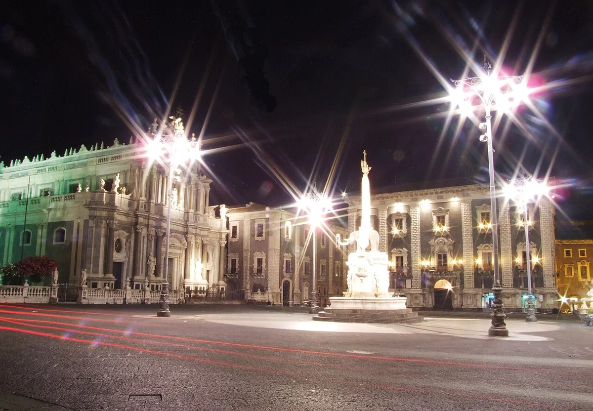
Catania then held about 27,000 people. It took in roughly 20,000 refugees from the destroyed villages and asked the viceroy of Sicily, the Duke of Alburquerque, for help. As lava closed in, order broke down and many wealthy and artisan families left. The viceroy appointed Prince Stefano Riggio as vicar-general, and he arrived on 18 April. Riggio moved prisoners, archives, food and religious objects out of the city. He also reinforced the threatened walls and blocked gates. When lava broke over the walls on 30 April, defenders built restraining barriers from the rubble of ruined houses. Processions carried the relics of St Agatha through the streets. Priest Diego Pappalardo and about 50 men from Pedara tried something new: they broke open the margin of a flow with axes and picks, wearing water-soaked hides against the heat. It is the first recorded attempt to divert lava. About 500 people from Paternò stopped the work because the redirected lava threatened their town, and the breach healed. Authorities later made diverters liable for damage the diverted lava caused. That rule was suspended during the 1983 eruption. Later efforts at Etna do not make 1669 a safety model, so treat it as history rather than a how-to.
What Changed in the Landscape
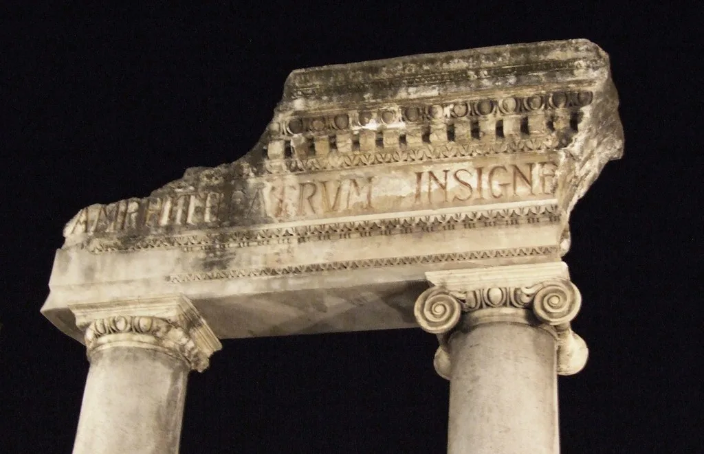
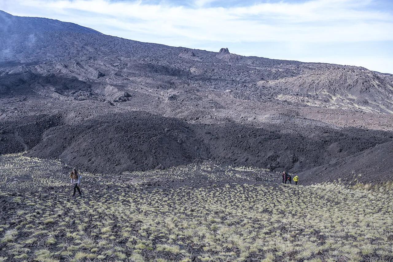
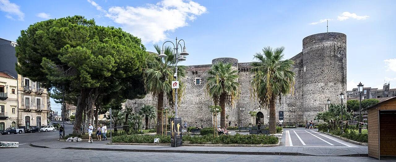
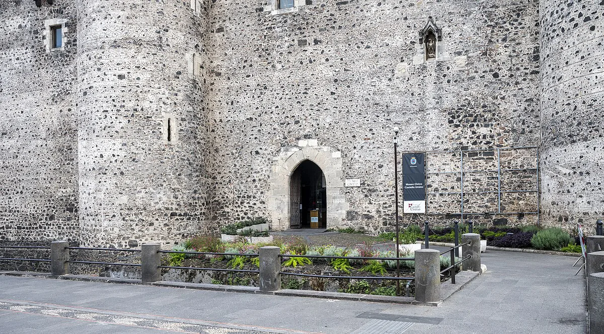
Lava buried the lower part of Castello Ursino under 9–12 m of rock and filled its moat. The fortress, once on the coast, now stands inland. The flow extended the shoreline by about 800 m over a width of 1.5 km. Catania's present port is attached to the 1669 lava. Lava also buried the Nicito lake. The Amenano river went underground and now feeds the Amenano Fountain in Piazza Duomo. Quarried 1669 rock paved roads and was carved into statues, including the Fountain of the Elephant. Most of the Baroque city centre dates from after 1693, when an earthquake caused more damage than the eruption had. Etna's behaviour also changed after 1669. For the geology, read about what type of volcano Etna is. For more on how flows move, see our guide to Etna's lava flows.
How to See the 1669 Eruption Today
No official signposted lava trail connects these places. Each stop is a separate site with its own access rules. Opening times, ticket rules and guided-only access change, so confirm each one locally before you plan around it. For Nicolosi and its park, start with the Comune di Nicolosi. Castello Ursino is a good anchor because the lava is visible beside its walls and in the moat.
| Stop | What you see | Access and cost to check | Time needed | Best for |
|---|---|---|---|---|
| Castello Ursino, Catania | Lava rock beside the walls and in the moat | Museum hours and tickets; the moat view may need no ticket | Short stop | Anyone in central Catania |
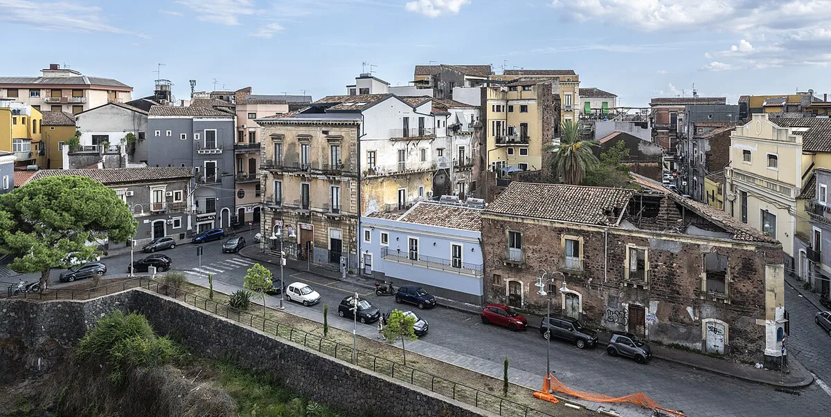
| Via Vittorio Emanuele II and Via Garibaldi, to Piazza Duomo | Streets that follow the slope of the lava toward the sea | Free, open street | Part of a walk | Walkers without a car |
| Pescheria and Amenano Fountain | The market area and the river that now runs underground | Free; market hours vary | Short stop | Food-minded walkers |
| Catania Cathedral | Giacinto Platania's painting of the eruption | Cathedral and diocese opening times | Short stop | Art and history fans |
| Monti Rossi and Pineta di Nicolosi, Nicolosi | The cone and a pine park built on the 1669 craters | Free to enter as a public park; confirm trail conditions | Half a day with a car | Drivers and walkers |
| Mompilieri sanctuary | A medieval church about 10 m below ground, preserved by the lava | Check the parish for opening and guided access | Short stop | History fans with a car or guide |
| Campanarazzu quarry, Misterbianco | A seventeenth-century church re-emerged from the rock | Quarry access may be restricted; check locally | Short stop | Experienced history fans |
A Suggested Route: On Foot or by Car
Two plans work best. The first is a half-day on foot in Catania, free apart from any museum ticket. The second is a longer day by car or with a local guide around Nicolosi, Belpasso, Mompilieri and Misterbianco. The second option needs more preparation because several stops have limited access. If you want a guided day, browse Mount Etna Tours: Which One to Book (Catania & Taormina) and ask the operator which 1669 sites it includes.
Castello Ursino's lower part sits under 9–12 m of 1669 lava, so the moat view on the walking route shows buried rock.
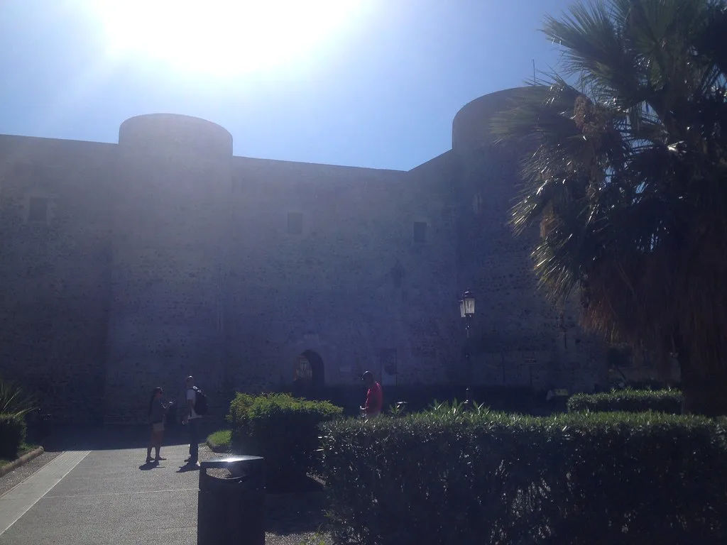
- Option A, on foot: start at Castello Ursino and look into the moat. Walk toward Piazza Duomo along Via Garibaldi and Via Vittorio Emanuele II. Finish at the Pescheria and the Amenano Fountain, then see the Platania painting in the cathedral.
- Option B, by car or guide: begin at Monti Rossi, Etna: Walk, Craters and Adventure Park Guide and the Pineta di Nicolosi. Continue to Belpasso, once called Malpasso, then Mompilieri, then Campanarazzu in Misterbianco. Confirm each stop is open before you set out.
- Mistake to avoid: do not expect a signposted lava trail. Several stops are churches, quarries or parks with their own hours, and some may close without notice.
- Mistake to avoid: do not treat the Nicolosi stop as a summit hike. Monti Rossi is a low, easy landmark near town, while the summit area is a separate trip. See Nicolosi for the town itself.
Getting There and Around
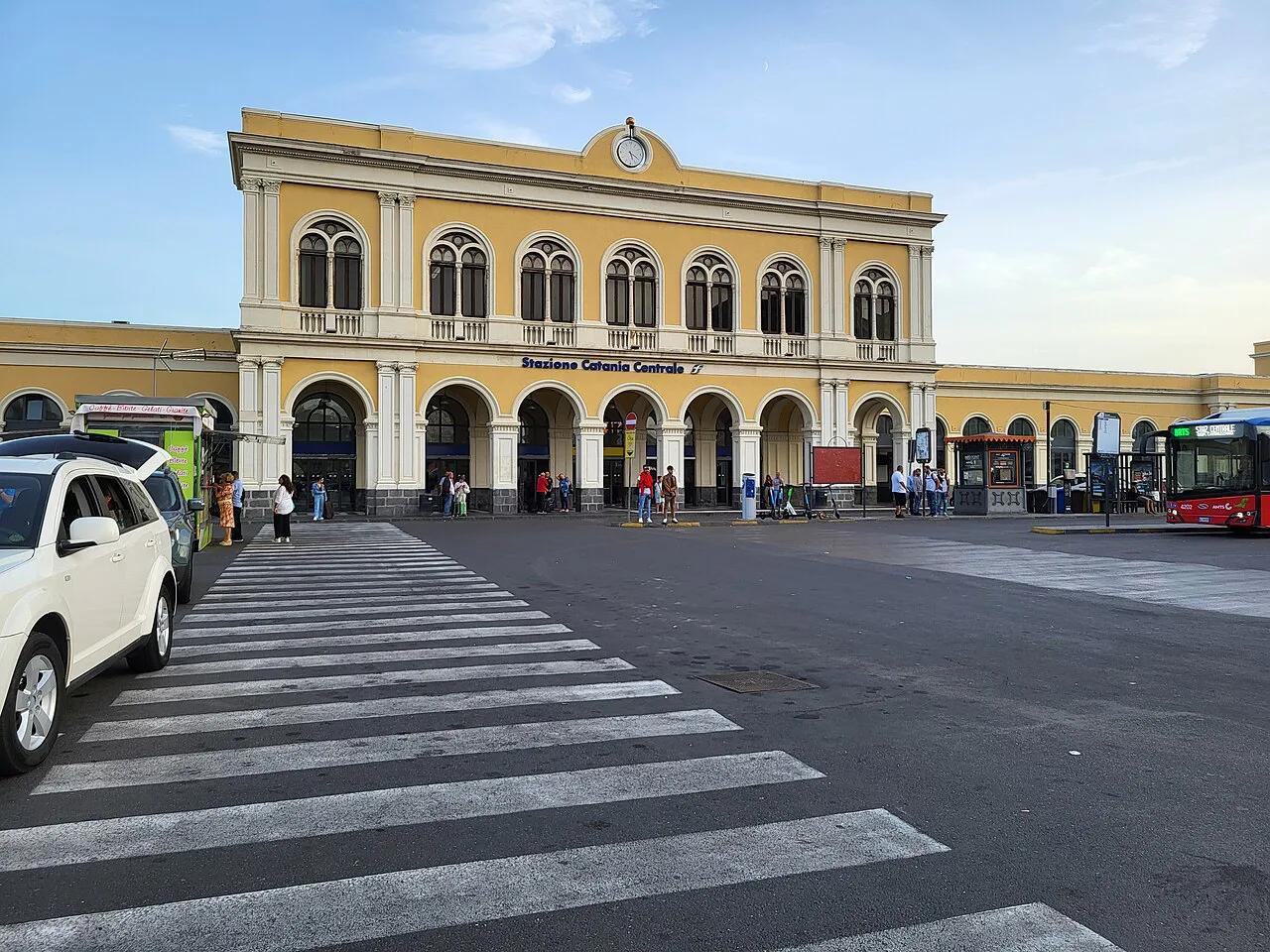
Use Catania as your base, since it has the airport and the central railway station. Local buses and tour-operator transfers serve the volcano's southern side. Our guide to getting from Catania to Mount Etna covers the main transfer options. The Circumetnea Railway: Route, Current Service Status & Tickets (2026 Guide) circles the volcano, but this guide has not verified which 1669 sites are near its stops. Check timetables before relying on it. For the high-altitude base on the south side, see Rifugio Sapienza, Etna: Cable Car, Jeep & Silvestri Craters Guide. It is a separate trip from the 1669 sites at lower elevations. A car gives the most freedom for Mompilieri and Misterbianco, while Catania's own sites are walkable.
How 1669 Compares With Other Etna Eruptions
The 1669 eruption was Etna's largest in the last 400 years and its biggest historical effusive eruption. It is also the only historical eruption that reached Catania's urban area. Later events were smaller but often hit tourist areas. Our history of Etna's eruptions covers the full record.
| Eruption | What it destroyed | Why it matters |
|---|---|---|
| 1669 | More than a dozen villages, Catania's western edge and part of its walls | Largest historical lava field; reached the sea |
| 1843 | Farmland near Bronte | A lava-triggered explosion killed 59 people |
| 1928 | The town of Mascali | First Etna eruption documented on film; no deaths |
| 1979 | Summit area, Bocca Nuova crater | A sudden explosion killed nine visitors |
| 1983 | Ski lifts and cable cars | First attempts to redirect lava with barriers |
| 1991–93 | Threatened Zafferana Etnea | Lasted 473 days; barriers and dynamite used. See Zafferana Etnea Guide: What to Do, Honey & Etna Views |
| 2001 | Facilities near Rifugio Sapienza | Ash forced a temporary closure of Catania airport |
| 2002 | Piano Provenzana's hotels and ski facilities | Lava overran the northern flank resort. See Piano Provenzana: Etna North Side Access and Seasons |
Hazards and Visiting Etna Safely Now
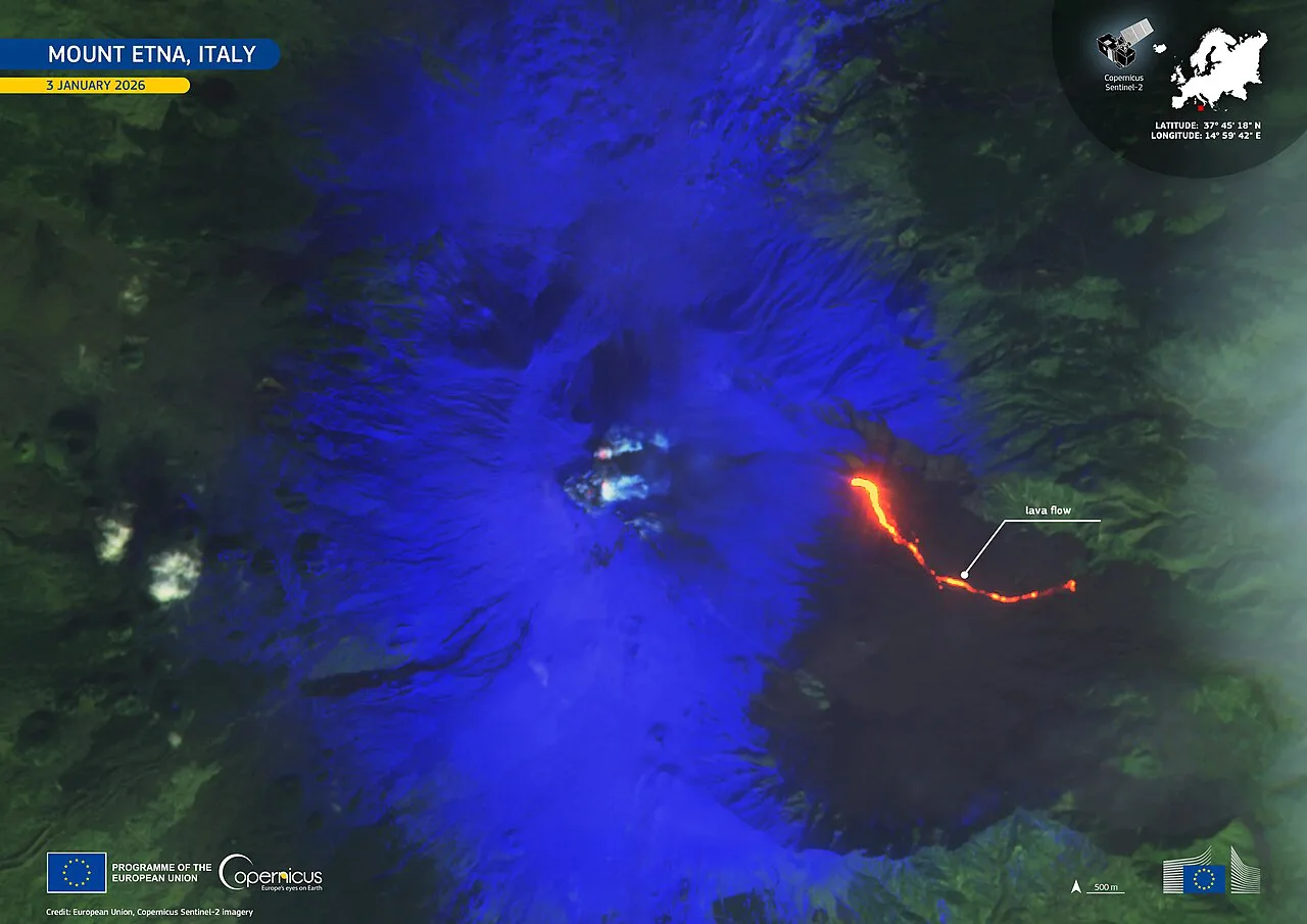
Etna's lava flows are usually slow, and the serious dangers today come from explosions near the summit. The 1979 and 2017 events show how fast conditions can change. For current activity, read the bulletins from INGV Osservatorio Etneo. For civil-protection alerts, use Protezione Civile Sicilia. Our page on whether Etna is active adds context. Use the Etna webcams to check the summit, and check the Etna weather forecast before heading up. The 1669 sites at Catania, Nicolosi and Misterbianco sit well below the summit zone. Summit access rules are set by the authorities and the Parco dell'Etna, so follow their current guidance.
Frequently Asked Questions
When was Mount Etna's worst eruption?
The 1669 eruption is Etna's largest in the last 400 years and its biggest historical effusive eruption. It destroyed more than a dozen villages and reached Catania, but contemporary sources record no deaths. In terms of lives lost, the 1843 explosion near Bronte killed 59 people.