Gran Canaria Volcanoes: What to See and Where to Go
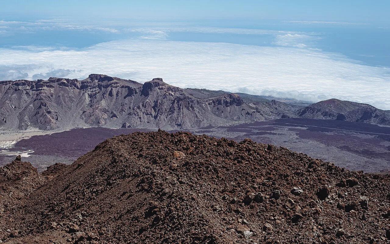
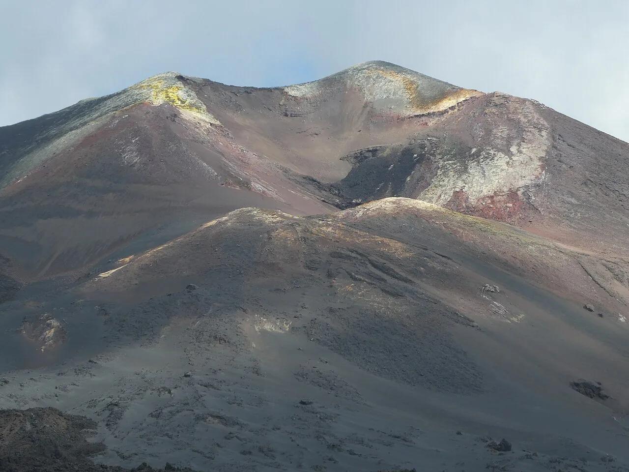
Last updated November 2026. Gran Canaria volcanoes are part of the island's origin story, not a live eruption risk you plan around. Every Canary Island has volcanic origins, but the recent eruptions sit on other islands. This guide covers the craters, cones and rock towers you can visit on Gran Canaria, then points you to the Canary Islands volcano overview for the rest of the archipelago.
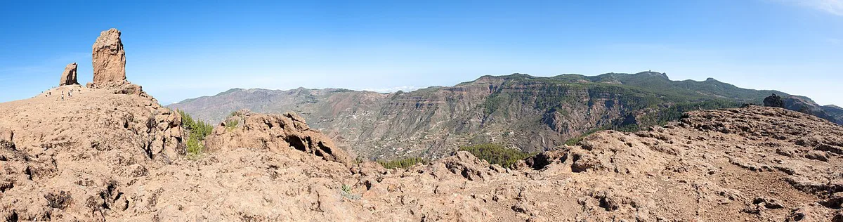
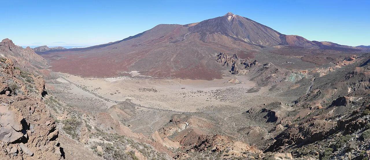
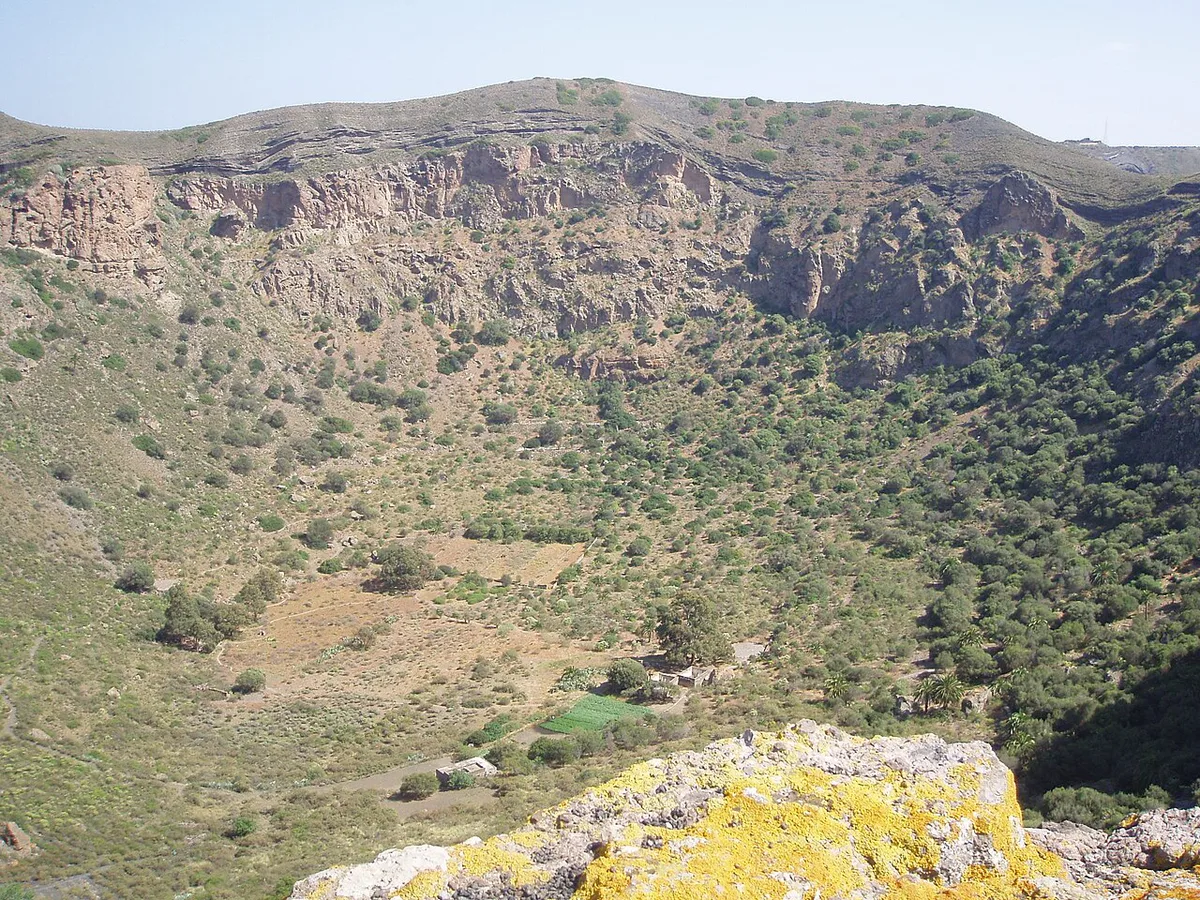
Featured image: H. Zell, CC BY-SA 3.0, via Wikimedia Commons.
Is Gran Canaria a volcanic island?
Yes. All the Canary Islands have volcanic origins, and Gran Canaria is no exception. Volcanic origin is not the same as current eruption risk. The recorded eruptions in the Canaries cluster on other islands.
La Palma's Tajogaite eruption began on 19 September 2021 and lasted 85 days. Tenerife's last eruption was Chinyero in 1909. Lanzarote's Timanfaya eruptions ran from 1730 to 1736. Off El Hierro, the Tagoro volcano formed under the sea in 2011-2012.
Gran Canaria's own activity status is monitored by the Spanish National Geographic Institute and INVOLCAN, the Canary Islands volcanological institute. Read their current bulletins for the official position rather than relying on a travel page.
Gran Canaria volcanoes: sites worth visiting
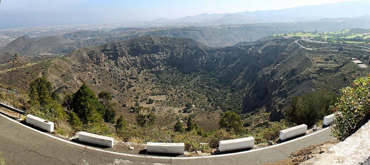
Gran Canaria's volcanic sights are landforms you walk around or look down into. You will not find steaming vents or fresh lava fields here. The table below lists the main stops and what each one offers.
| Site | What you see | Who it suits |
|---|---|---|
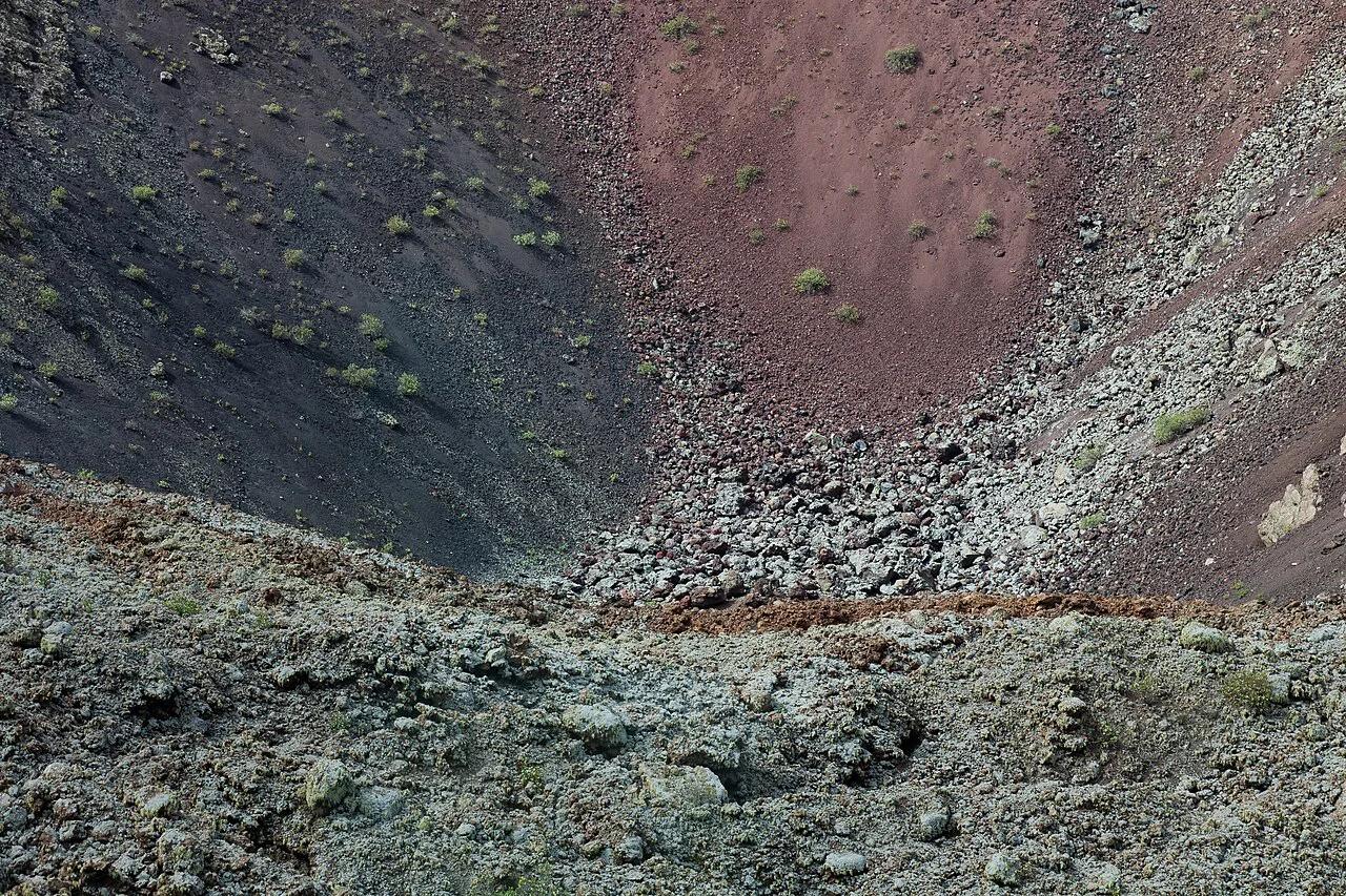
| Caldera de Bandama | A large volcanic crater, seen from above and from its rim | Anyone with an hour or two and a car |
| Pico de Bandama viewpoint, near Santa Brígida | A volcanic summit lookout over the crater | Short stops, photographers, non-hikers |
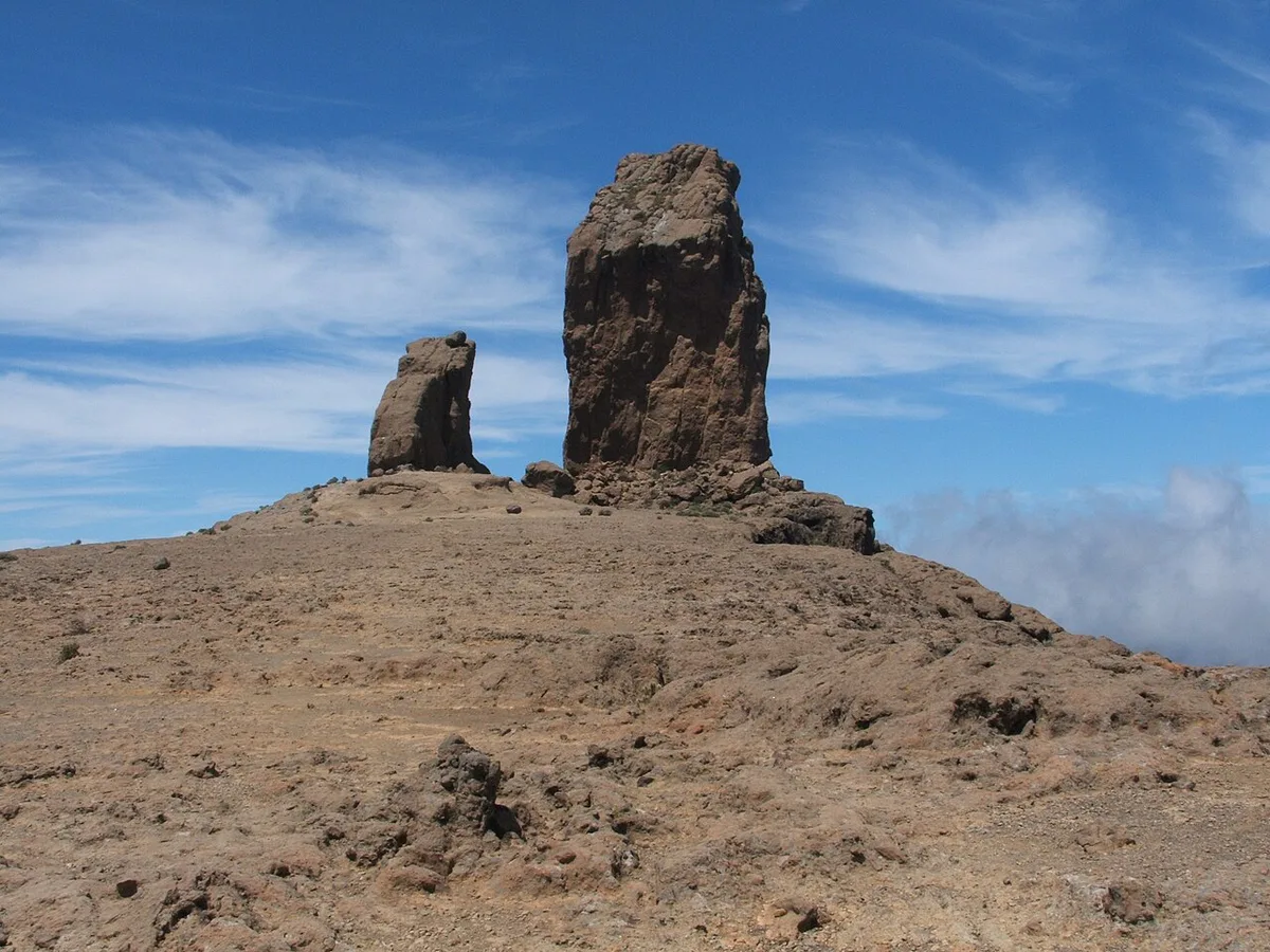
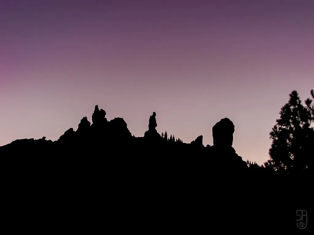
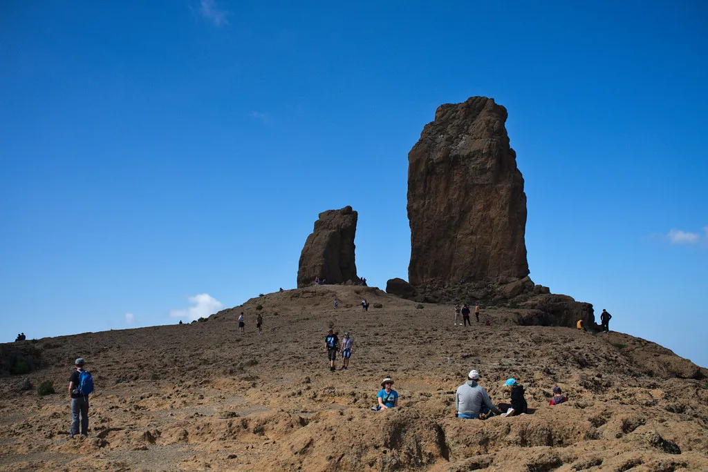
| Roque Nublo, central highlands | A volcanic plug, a tall rock column left standing as softer material eroded | Hikers who want highland scenery |
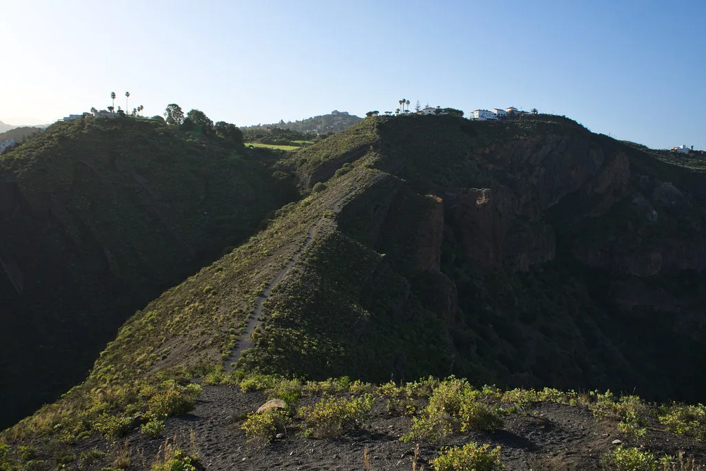
| Montañón Negro | A dark volcanic cone | Walkers who like quieter, forested terrain |
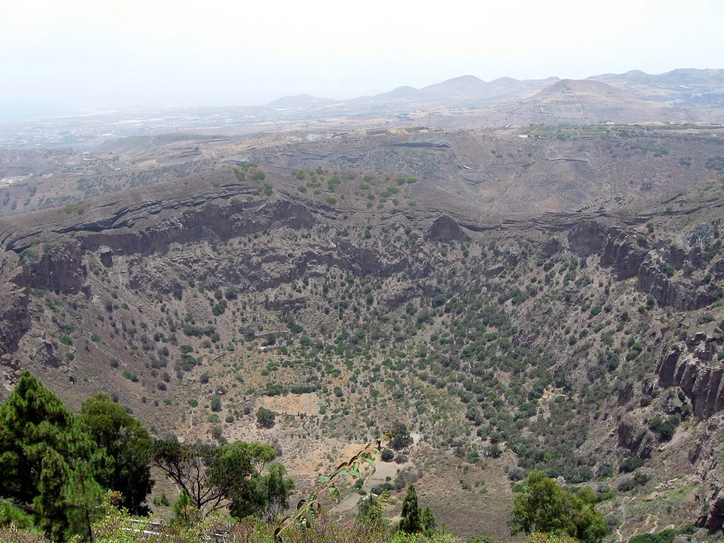
- Caldera de Bandama: start at the rim and decide whether to look or to walk. The view alone justifies the stop.
- Pico de Bandama: this is the easiest way to see the crater shape, because you look down into it from the summit.
- Roque Nublo: expect a hike in the highlands, where cloud can hide the rock. Skip it if you are short on time or dislike uneven paths.
- Montañón Negro: choose it for contrast. Its dark volcanic material looks very different from the highland rock.
When and how to visit
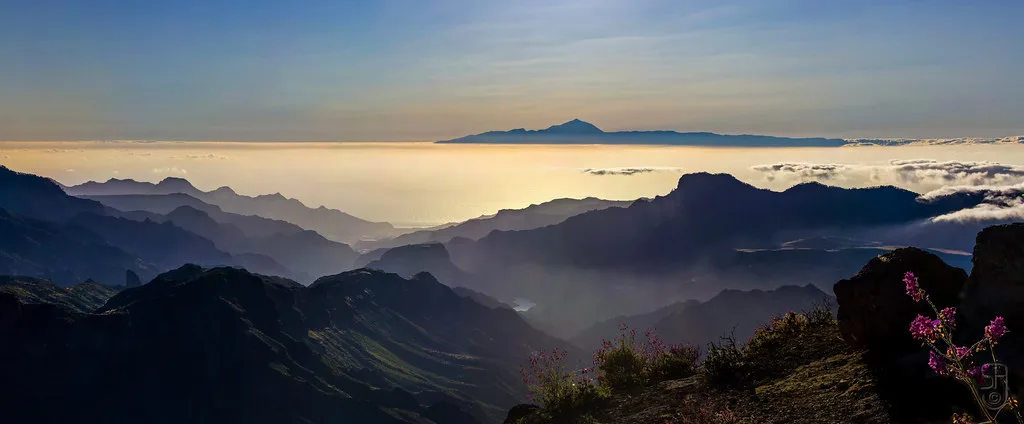
Go early for the highland sites. Cloud and haze can hide Roque Nublo and the summit views by midday, so a clear morning gives you the best chance of a view. Check the forecast for the central highlands, because conditions there can differ from the coast.
A car makes the day easy. You can combine Bandama and the highlands in a long day, or pick one site for a half-day. Without a car, choose Bandama or a guided tour. Remote highland trailheads are hard to reach on public transport.
Costs, access and booking
Viewpoints are the simplest stops, and trail access depends on each site's own rules. This page gives no ticket price because none is confirmed here. For access rules, permits and closures, check the Cabildo de Gran Canaria and the island's official tourism site before you go. Prices and hours should be read from those sources in 2026.
Gran Canaria vs other Canary volcano destinations
Choose Gran Canaria for crater views and highland rock formations. Choose another island if you want fresh lava or recent eruptions. The Canary Islands Volcano Map: Where the Volcanoes Are helps you place each site.
Skip Tenerife if fresh lava is the goal: its Chinyero in 1909 eruption is long past, so Lanzarote's lava fields fit better.
For a neighbouring option, see the Fuerteventura volcano guide. For the submarine eruption off El Hierro, read about the Tagoro volcano.
| Island | Most recent eruption noted here | Feel |
|---|---|---|
| La Palma | Tajogaite, 2021 (85 days) | Recent eruption, reconstruction under way |
| Tenerife | Chinyero, 1909 | Teide is permanently monitored |
| Lanzarote | Timanfaya, 1730-1736 | Lava fields with guided tours |
| El Hierro | Tagoro, 2011-2012 (submarine) | Eruption seen offshore |
| Gran Canaria | Check INVOLCAN for current status | Craters, cones and rock plugs |
Safety and monitoring
Volcanic activity in the Canaries is monitored continuously by the National Geographic Institute and INVOLCAN. If an eruption happens, the PEVOLCA civil protection plan coordinates evacuations and the response. Before hiking, check the weather and visibility, stay on marked trails, and read local guidance. For a high-profile comparison, Teide National Park's official page shows how a monitored park publishes visitor information.
Frequently Asked Questions
How were the Canary Islands formed?
All the Canary Islands have volcanic origins. They are a volcanic archipelago, and the islands differ in how recently they erupted.
Are there active volcanoes in Lanzarote?
Lanzarote's Timanfaya eruptions ran from 1730 to 1736 and covered about a quarter of the island. Timanfaya National Park offers guided tours with geothermal demonstrations.