Tajogaite Volcano, La Palma: Visiting the 2021 Eruption Site
Last updated November 2026. Tajogaite is the cinder cone that formed during the 2021 Cumbre Vieja eruption on La Palma, in the municipality of El Paso. You can see it from viewpoints or on a guided walk, but not by climbing freely. This guide sets out the facts, the visit options, and the mistakes to avoid, and it links to our wider La Palma volcano overview.
Featured image: Rolfcosar, CC BY-SA 4.0, via Wikimedia Commons.
What Is Tajogaite?
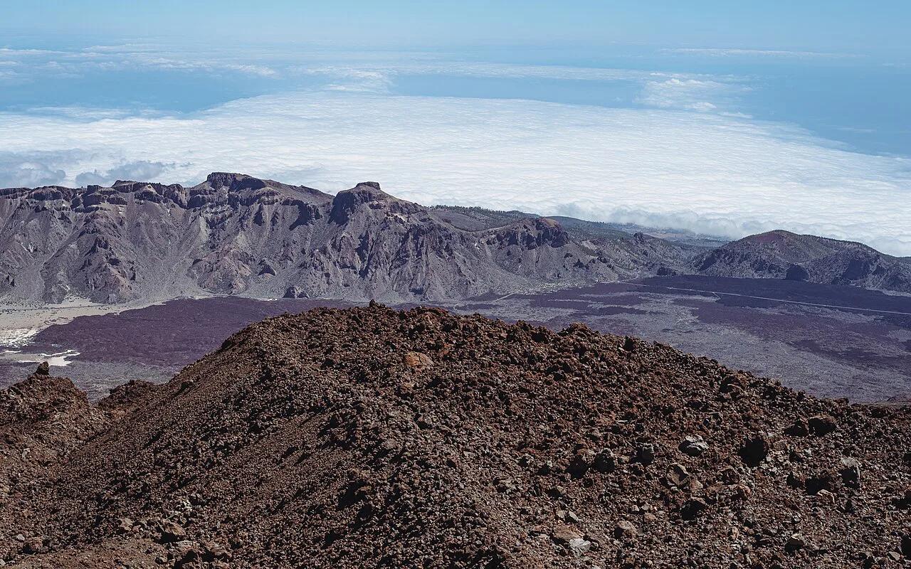
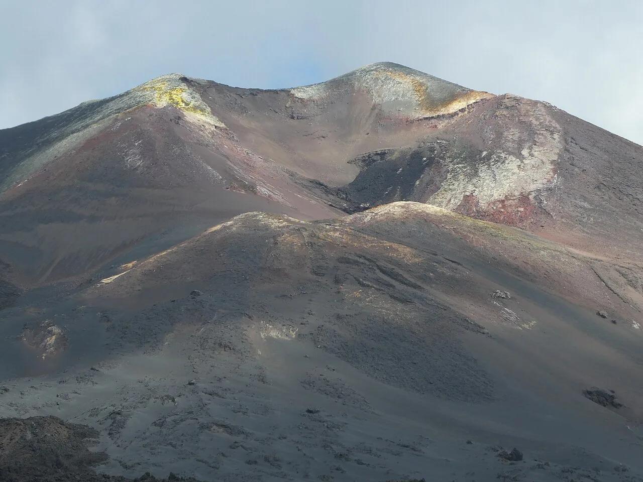
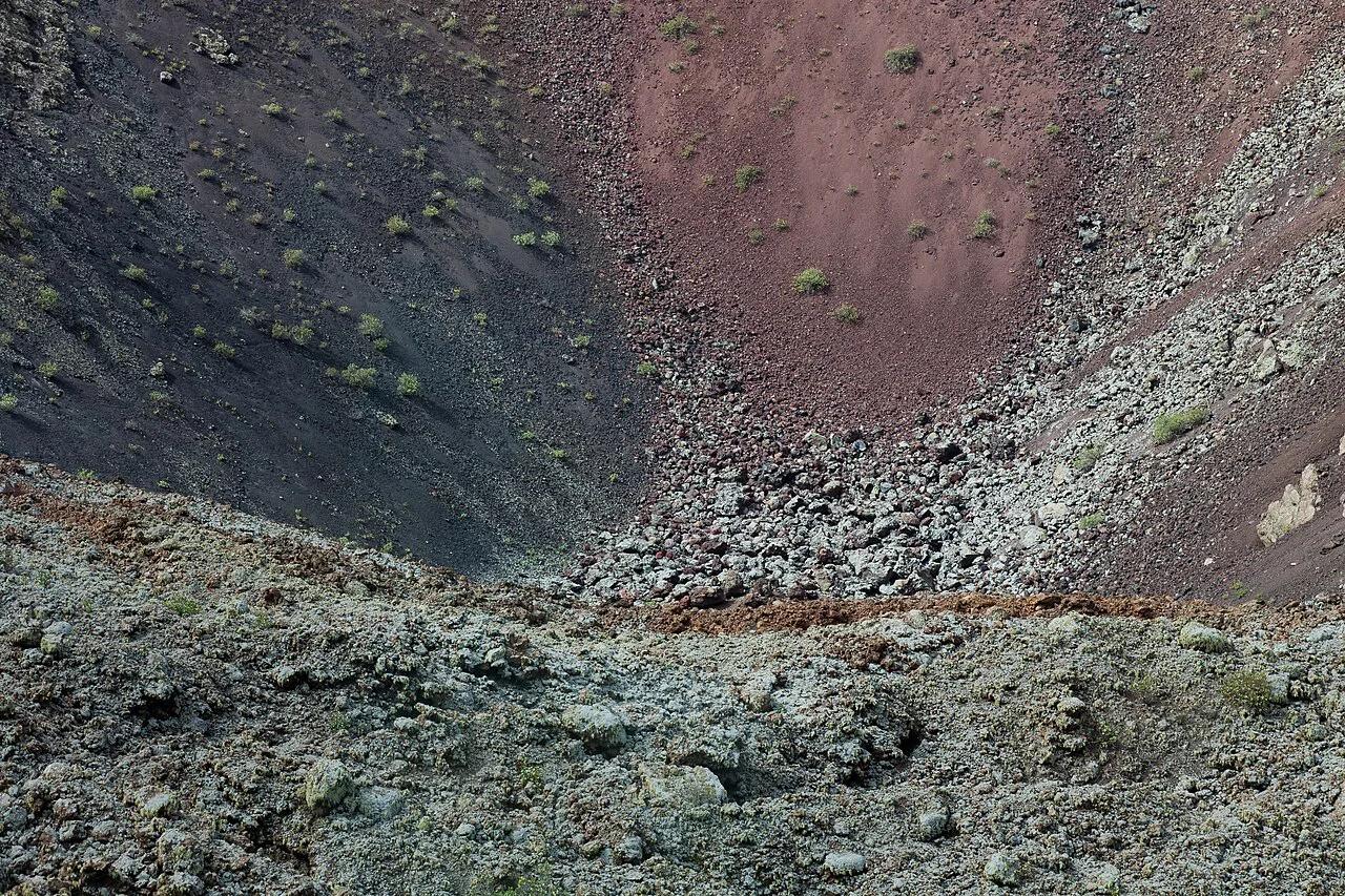
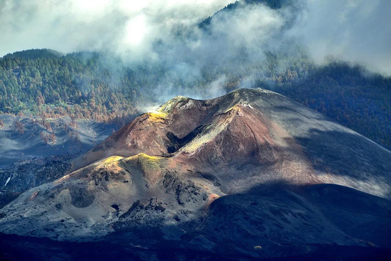
Tajogaite is a monogenetic cinder cone on the Cumbre Vieja ridge, built from loose ash and scoria in brown, grey and rust-red tones. Its summit reaches about 1,120 m (roughly 3,675 ft) above sea level. The cone rises about 200 m (roughly 660 ft) above the pre-eruption ground. Its main crater measures 172 by 106 m and is one of seven vents. Tajogaite is also the name of a zone in El Paso near Montaña Rajada, and the volcano took that place name when it was officially named. The same volcano appears as Cabezavaca in regional government records, so you may see both spellings.
- Location: El Paso, La Palma, Canary Islands, Spain
- Eruption: 19 September to 13 December 2021, 85 days
- Summit: about 1,120 m (3,675 ft)
- Cone height above old ground: about 200 m (660 ft)
- Main crater: 172 by 106 m, one of seven vents
The 2021 Eruption in Brief
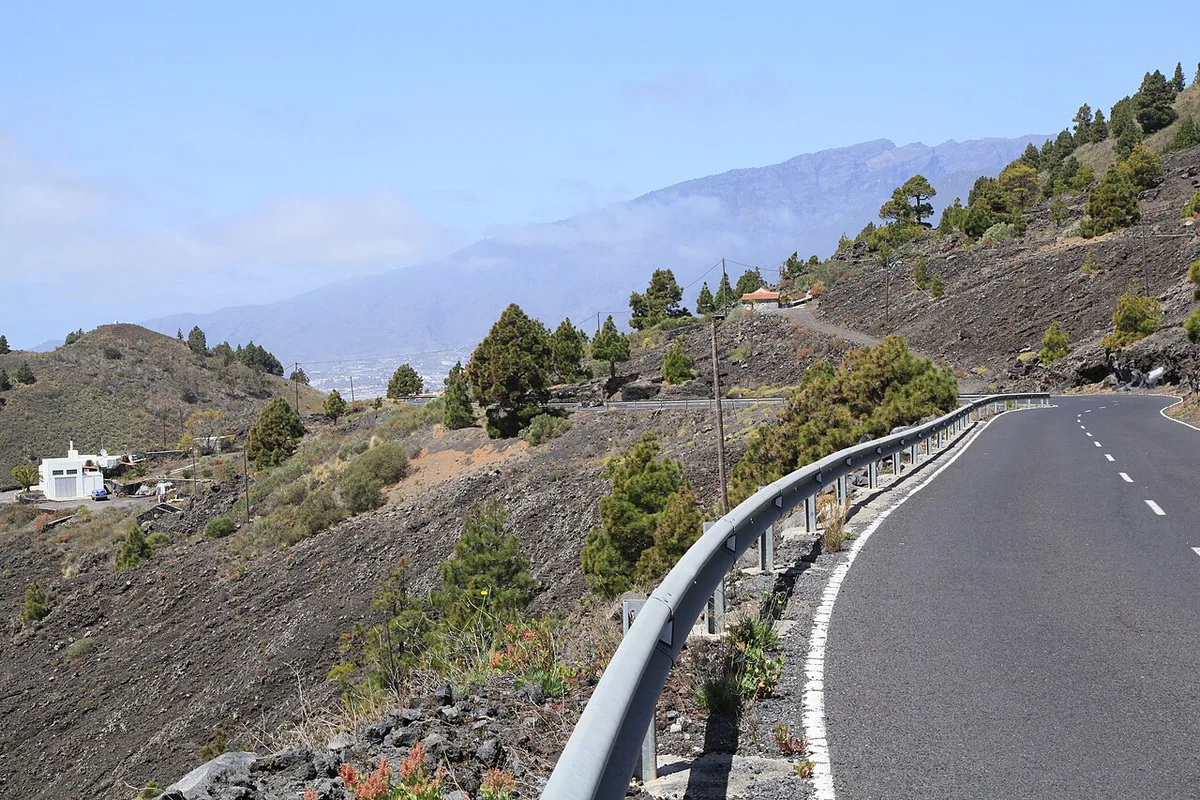
The eruption began on 19 September 2021 and ended on 13 December 2021 after 85 days. It is recorded as the longest historical eruption on La Palma. More than 200 million m³ of lava came out of the vents. Lava destroyed 2,988 buildings, mostly homes, and buried 73.8 km (about 46 miles) of roads. About 7,000 people were evacuated. Around 1,000 began returning on 3 January 2022 where their homes were undamaged. Lava also reached the sea and created 47 hectares (about 116 acres) of new land on the coast. Many families in neighbourhoods such as Todoque lost their houses, so treat the lava fields as someone's former home. For monitoring and scientific updates, see the Canary Islands volcanology institute.
Can You Visit Tajogaite? Access Rules and Options
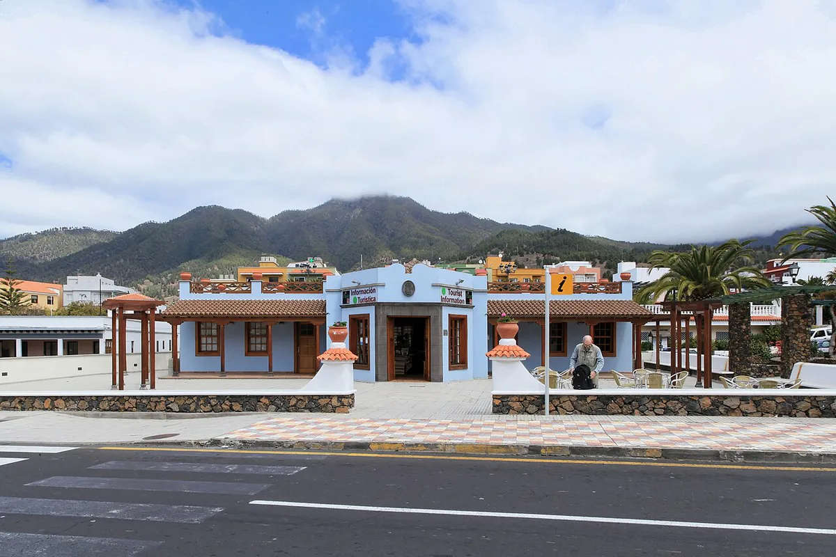
You cannot climb Tajogaite on your own. Visitors reach the site on guided walks that start at Llano del Jable, at about 1,200 m (roughly 3,900 ft). The circular route covers about 5 km (about 3 miles) and requires sturdy boots and plenty of water. Operators, booking rules, group sizes and seasonal closures change, so check the official La Palma tourism site before you plan around a date. We list no prices because none are published in our reference material. The table compares the three realistic options.
| Option | Effort | Booking | Best for | Skip if |
|---|---|---|---|---|
| Guided walk from Llano del Jable | Moderate, about 5 km circular | Arrange through an authorised operator | Seeing the cone and vents up close | You cannot walk 5 km on uneven ground |
| Viewpoint visit (Mirador del Lomo del Piojo) | Low | None expected | A look at the cone and lava fields | You want to stand near the crater |
| Drive-by of the lava fields | Minimal | None | Short on time or mobility | You want to understand the scale on foot |
How to Get There and Where to Start
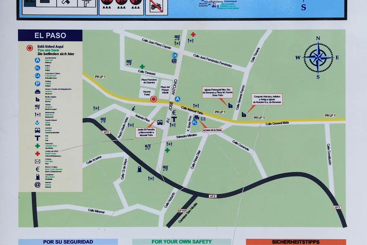
Guided walks begin at Llano del Jable, at about 1,200 m. Spellings vary on maps and websites, with "Llano de Los Jables" also in use. Mirador del Lomo del Piojo (Tajogaite) lies about 1.5 km from the cone in a straight line. Road access and parking change as the roads are rebuilt, so ask your operator or the tourism office for current directions. Drive times from Santa Cruz de La Palma or Los Llanos de Aridane depend on road conditions, and we do not quote any. Lava buried 73.8 km of roads in 2021, which is why the road network around El Paso looks different from older maps.
What You'll See: Cone, Lava Fields and Coastal Delta
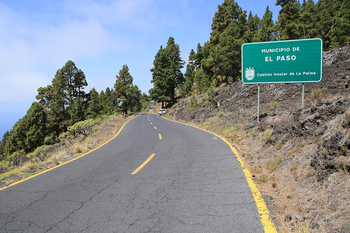
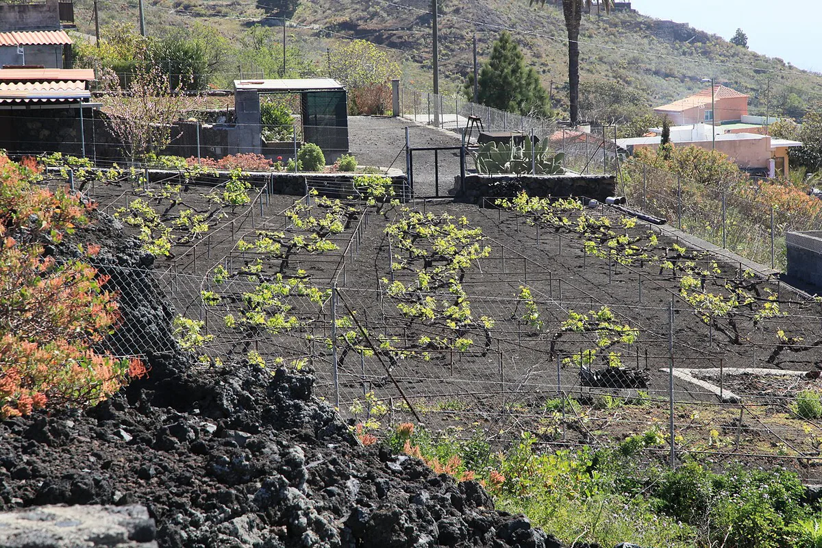
From the guided route you see the cone itself, with its deep notch in the crater rim and yellow-green deposits on the upper slopes. Furrowed flanks run down from the vents. Below, the lava fields cover former farmland, roads and houses. Buried streets are visible in places, and new rock formations line the west coast where lava reached the sea. That delta added 47 hectares to the island. Walk quietly near private land, and do not photograph residents' homes without asking.
Safety, Weather and What to Bring
Stay on marked routes, because the ground can be loose and gas can collect near vents. Wear sturdy boots and carry plenty of water, plus wind and sun layers. At about 1,200 m, cloud and wind can arrive quickly. For wider context on island risks, read our guide on whether La Palma is safe to visit. Follow your guide's instructions and respect any closed areas, even if other walkers ignore them.
Viewpoints and Nearby Stops
Distances here are approximate straight-line figures, not walking times. Mirador del Lomo del Piojo (Tajogaite) is about 1.5 km away, and Mirador del Birigoyo is about 2.6 km away. Volcán San Juan is about 1.6 km from the cone. Cueva de las Palomas: Location, Access and Virtual Visit is about 2.7 km away, and Casa Museo del Vino Las Manchas is about 2.8 km away. Tajogaite is a different volcano from San Antonio Volcano (La Palma): Visit Guide & Tips, so do not confuse the two when you plan a day.
Planning Your Time: Half-Day Sample Plans
For a viewpoint morning, start at Mirador del Lomo del Piojo, continue to Mirador del Birigoyo, and finish at Cueva de las Palomas. This plan needs no booking and suits anyone avoiding a long walk. For a hiking morning, book a guided walk from Llano del Jable and keep the afternoon free, because the 5 km route and any weather delays can run long. If you want a longer hike, the Ruta de los Volcanes covers more of the ridge. After dark, you can add stargazing on La Palma, or visit the Roque De Los Muchachos Observatory on another day.
Common Mistakes to Avoid
Most problems come from planning too little. Avoid these:
- Assuming you can climb the cone freely. Guided routes are the main way up close.
- Turning up without booking a guided walk.
- Wearing trainers or sandals on loose volcanic ground.
- Ignoring wind and cloud at about 1,200 m.
- Confusing Tajogaite with San Antonio volcano, or with Cumbre Vieja as a whole. Our La Palma Tsunami: Myth, Risk and Visitor Safety guide covers a common volcano-hazard myth.