Fuerteventura Volcanoes: Calderón Hondo & Where to Hike
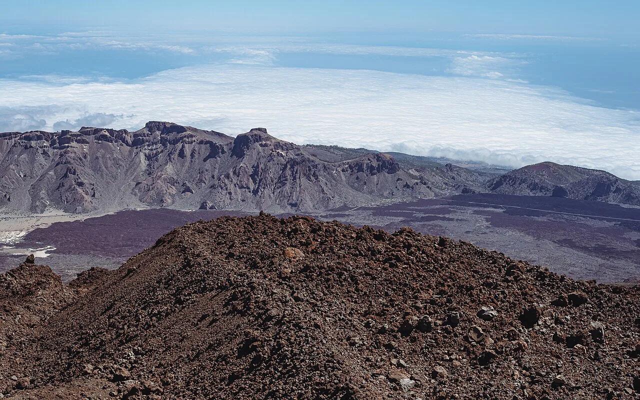
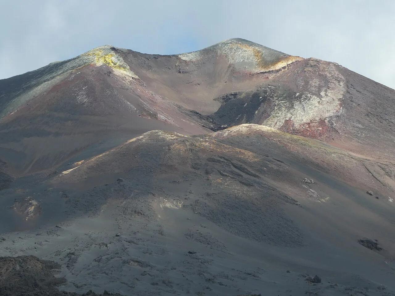
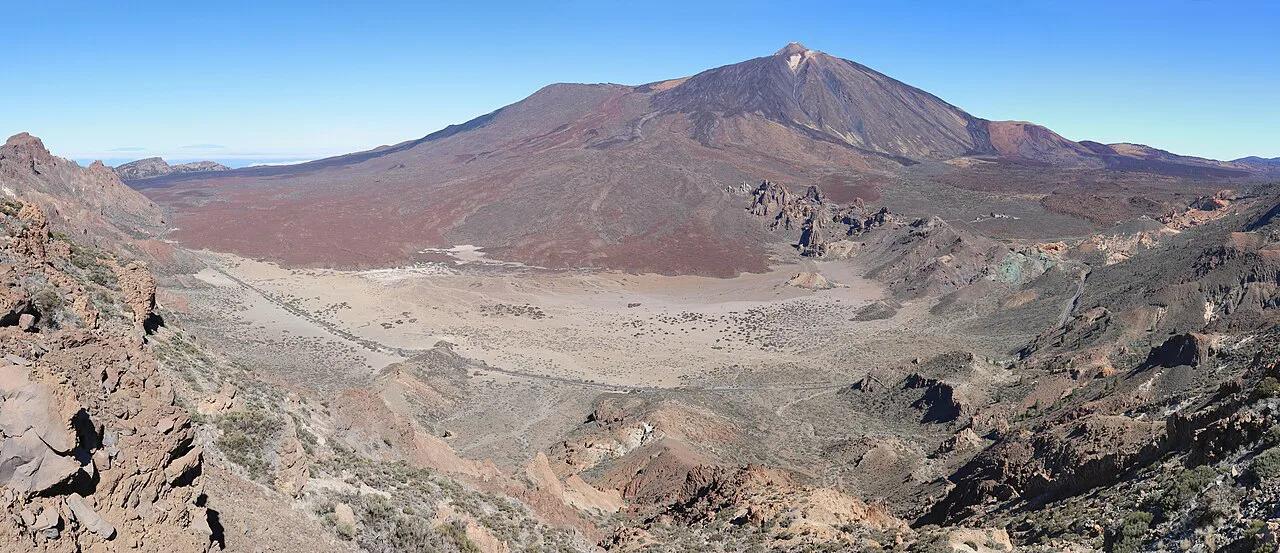
Last updated November 2026. Fuerteventura volcanoes are real but modest: most cones are old and eroded, and Calderón Hondo near Lajares and Corralejo is the one crater most visitors hike. Expect wide views and red-brown slopes, not fresh lava or steaming vents. For a bigger volcanic show, compare islands in our Canary Islands volcano guide.
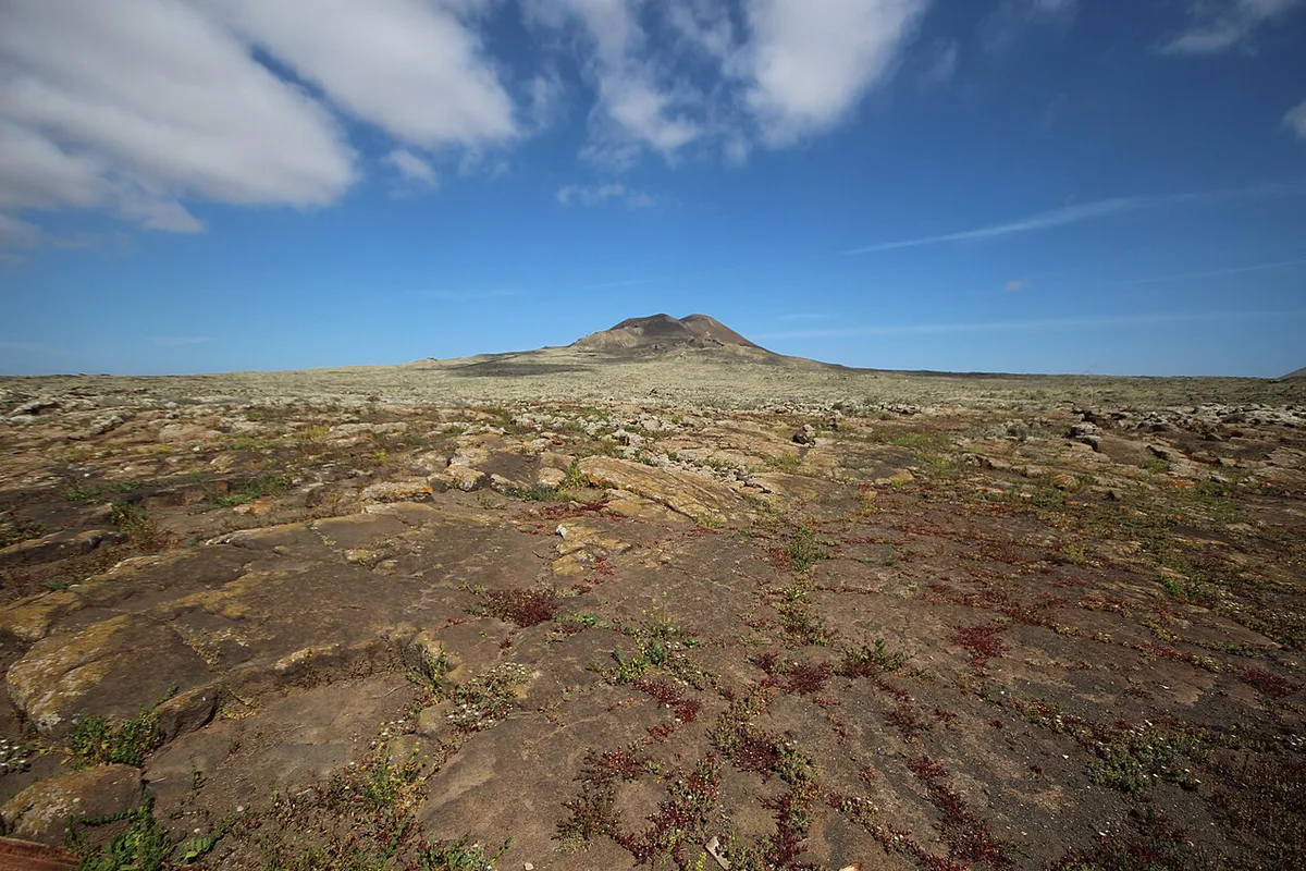
Featured image: Andy_Mitchell_UK, CC BY-SA 2.0, via Flickr.
Fuerteventura volcanoes at a glance
Fuerteventura is volcanic, but it is not a place to see an eruption. Its landscape is largely ancient and worn down, and only a few northern cones read as clearly volcanic. INVOLCAN, the Canarian volcanology institute, publishes current volcanic monitoring information for the archipelago. Use it for the official status rather than relying on a travel page. Reading this table will help you pick a stop, and our Canary Islands Volcano Map: Where the Volcanoes Are shows where each island's sites sit.
| Site | Area | Effort | Car needed | Best for |
|---|---|---|---|---|
| Calderón Hondo | La Oliva, between Lajares and Corralejo | Easy to moderate climb; exposed | Likely; see bus notes below | Crater rim and views toward Lanzarote |
| Malpaís de la Arena | Northern lava field near Corralejo | Short walks; TBC | Likely; TBC | Dark lava against pale sand |
| Bayuyo cones | North, near Corralejo | TBC | TBC | Seeing the line of young cones |
| Montaña Cardón | TBC | TBC | TBC | See the official trail map first |
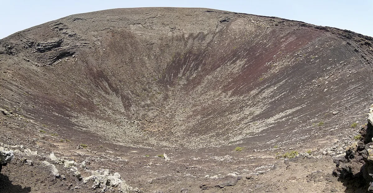
Calderón Hondo: the Fuerteventura volcano to hike
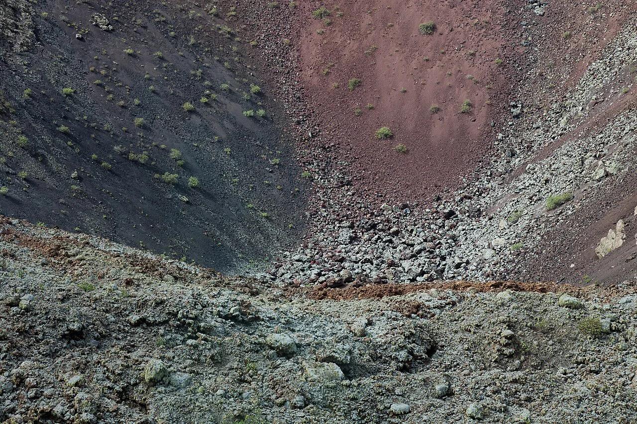
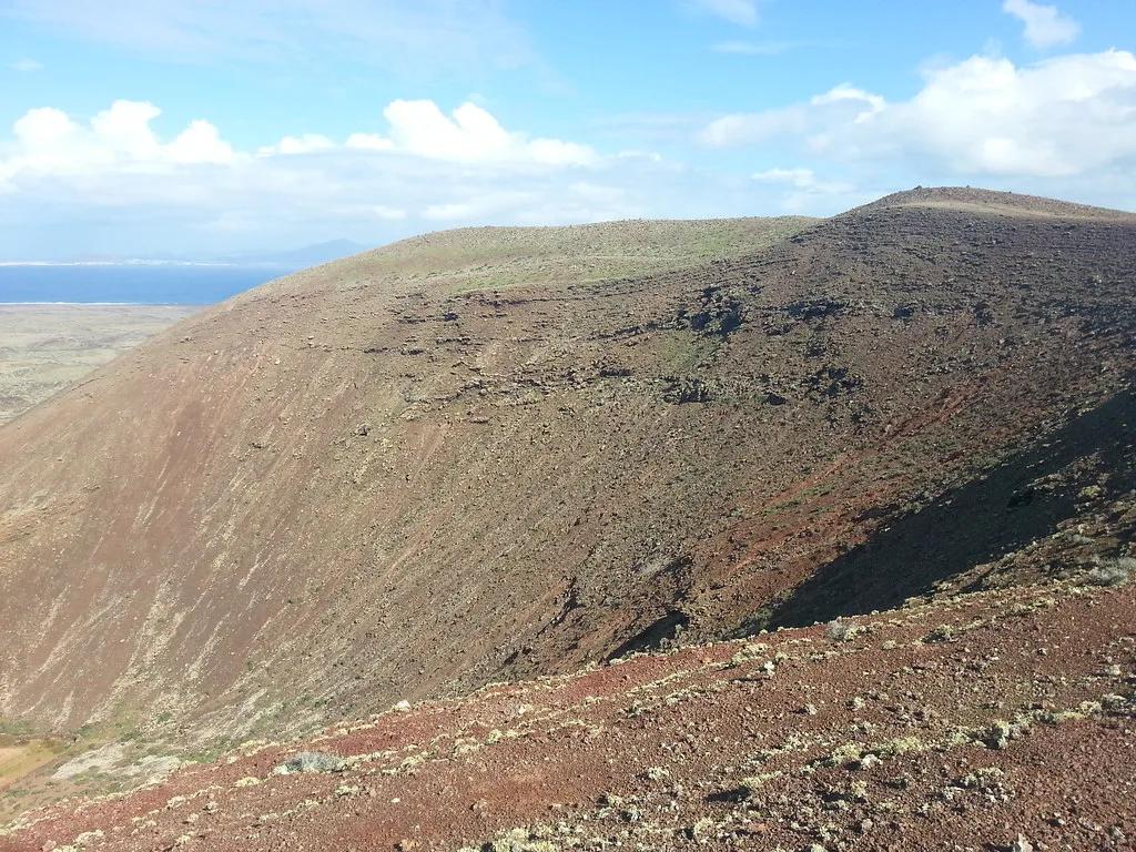
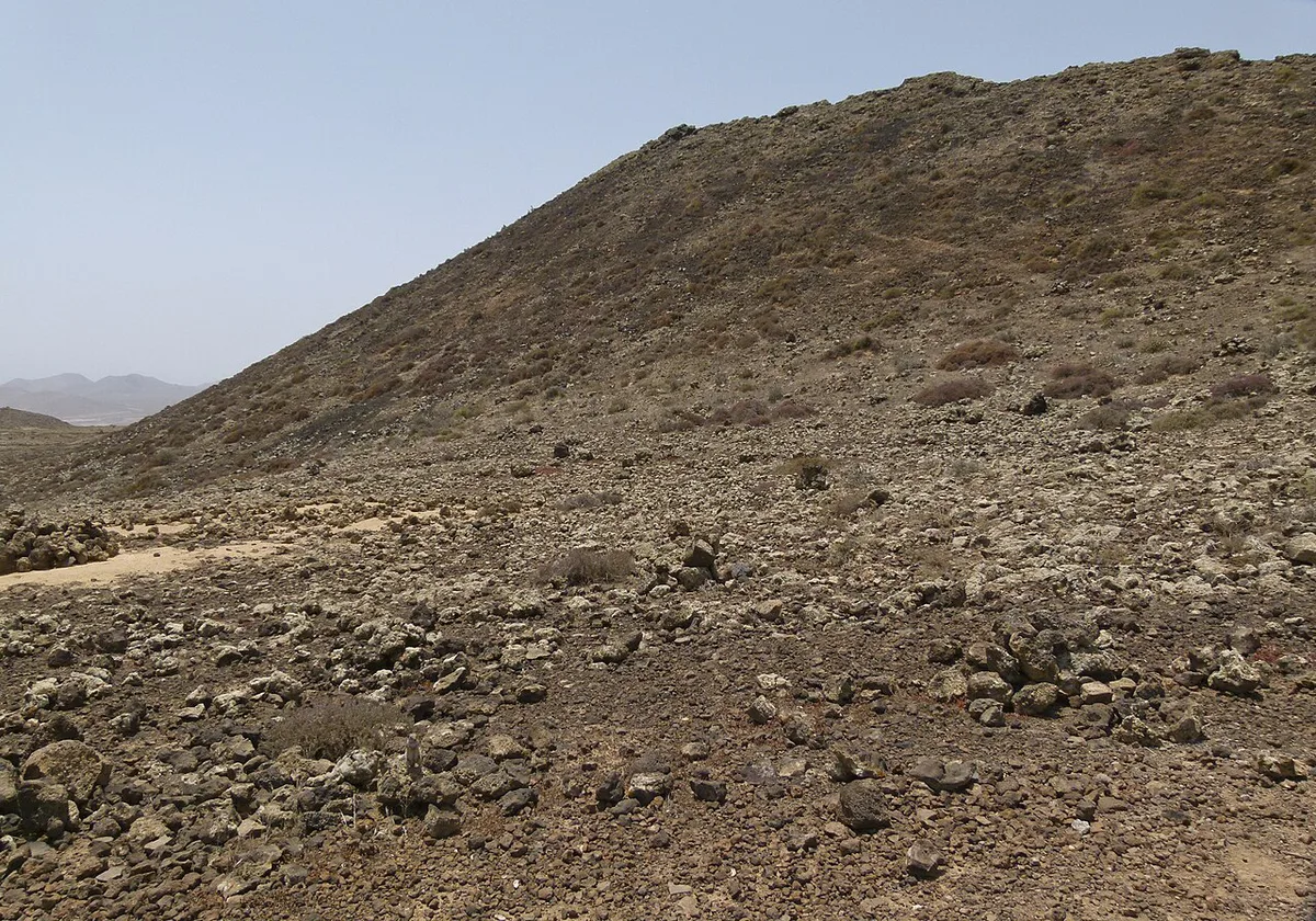
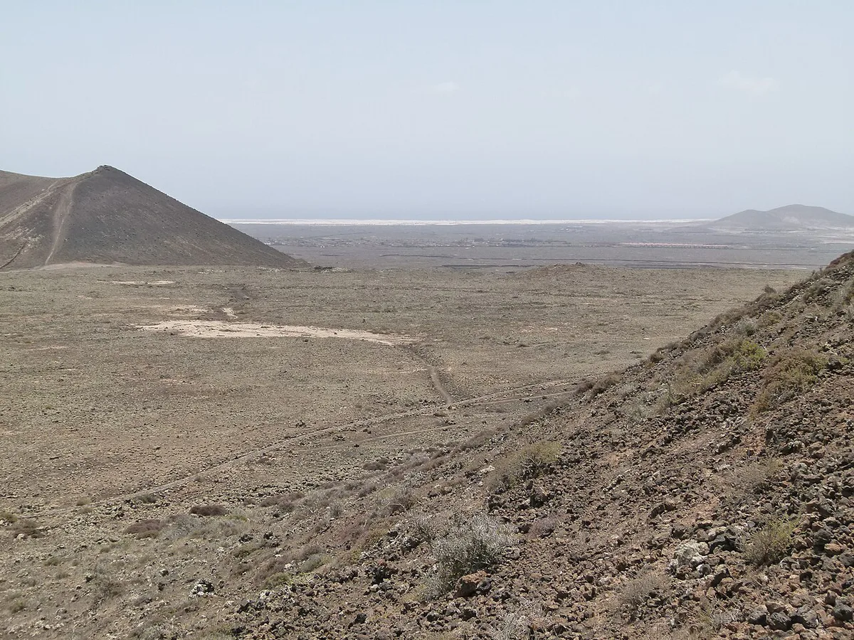
Calderón Hondo is the crater to prioritize. Paths lead up from both Corralejo and Lajares, so you can choose the side that matches your base. Some guides cite a rim height of 278 m and an age of roughly 50,000 years. Treat both figures as unconfirmed until you see them on a park or geological source. From the rim you look north toward Lanzarote across open ground with no shade. Wind can be strong on the crater edge, so keep back from the lip and wear shoes with grip. Bring water and sun cover, because the climb is exposed from start to finish.
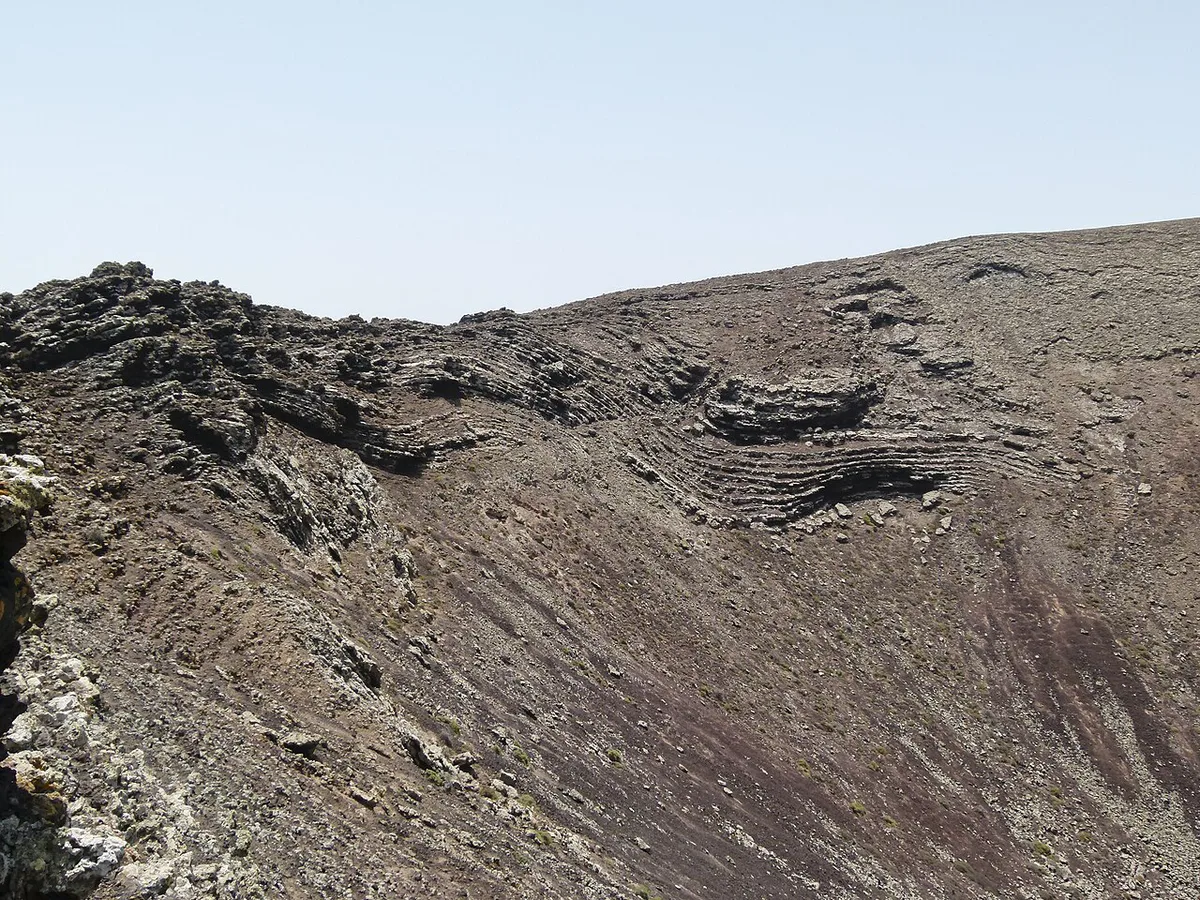
Other volcanic sites worth a stop
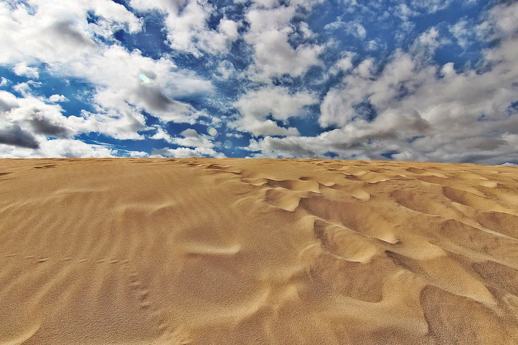
The Malpaís de la Arena lava field and the Bayuyo cones sit in the same northern stretch as Calderón Hondo. Together they show how recent volcanism shaped this corner of the island. Corralejo Dunes Natural Park gives the sharpest contrast: pale shifting sand beside dark volcanic ground. Check Fuerteventura's official tourism site for current trail and access notes before driving to any of these. Montaña Cardón is also listed among the island's cones, but we have no access or route details for it, so ask locally before you plan around it.
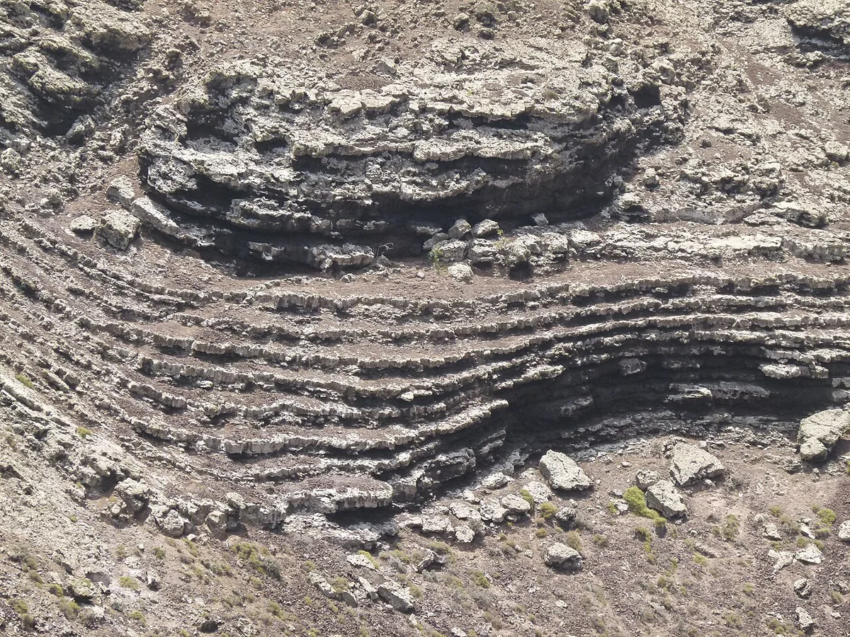
How to plan your time
Pair Calderón Hondo with the dunes for a simple northern half day. Start early, climb to the rim, then finish with a beach and dune walk at Corralejo Dunes Natural Park. Majanicho, a small fishing village nearby, works for a late lunch stop. October to April is the cooler window, which suits an exposed climb. June to September is the hottest and busiest season, so start at first light if you go then. On a short trip, do only the crater and the dunes.
Heat peaks between June and September, so pairing that season with an exposed climb to a rim cited at 278 m means starting before the sun gets high.
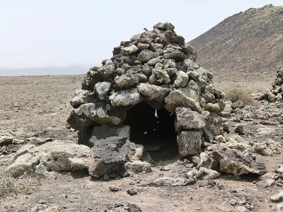
Costs, access and getting there
Walking Calderón Hondo is a self-guided outing with no ticket needed that we know of. A guided walk costs money and saves you navigation effort. We have no official price to quote, as operators set their own rates. Corralejo and Lajares are the usual starting points. Bus links and timetables change, so check the island bus operator's current schedule before relying on public transport. A rental car makes the northern sites far easier to combine in one morning.
Guided or self-guided
Choose by confidence and curiosity. Vulcano Trekking, based in Antigua, is one example of a local operator running volcanic-terrain walks, and its site, vulcanotrekking.com, lists current routes and services.
- Go self-guided if you can follow a path, carry your own water and are happy with a short out-and-back.
- Go guided if you want geology explained or dislike navigating alone.
- Hire a car if you want to link the crater, lava field and dunes in one morning.
Where to base yourself
Corralejo suits visitors who want restaurants, dunes and ferry access close at hand. Lajares is quieter and sits on the other side of Calderón Hondo, so it works if you prefer a village base. Both put the crater within a short drive. Choose by the atmosphere you want, not by trail access.
Mistakes to avoid and who should skip it
Leaving late in summer, forgetting sun cover and ignoring wind on the rim are the common errors. Going without a car and expecting a bus to reach the trailhead is another. Skip Fuerteventura for volcanoes if you want lava tubes or fresh craters. Gran Canaria's volcanic landscapes offer more drama, and the hub compares every island. If you are island-hopping, the Tagoro submarine volcano belongs to El Hierro. Roque de Agando, La Gomera: Viewpoints, Access & Tips is a La Gomera landmark.
Frequently Asked Questions
Does Fuerteventura have an active volcano?
Fuerteventura is the oldest of the Canary Islands, and its volcanoes are mostly ancient and eroded. Its youngest cones sit in the north. For current alert levels, check INVOLCAN's official monitoring pages rather than a travel guide.