Tagoro Volcano, El Hierro: What Happened and Can You See It?
Last updated November 2026: Tagoro is the submarine volcano off La Restinga on El Hierro that erupted from October 2011 into early 2012. Searches for "tagoro" also surface a family hotel in Costa Adeje, Tenerife, which is a different place entirely. This guide covers the volcano, what you can realistically see today, and how it fits among the 6 Canary Islands Volcanoes to Visit: Where to Go and How to Choose.
Featured image: Tbachner, CC BY 3.0, via Wikimedia Commons.
What Is Tagoro? (And Not the Hotel)
Tagoro is an underwater volcano just offshore from the southern tip of El Hierro, the smallest and westernmost of the main Canary Islands. It built up on the seabed and never became a walkable island or crater. Its eruption began in October 2011 and ended in early 2012.
Not the hotel: if you want the family resort in Costa Adeje, Tenerife, use that hotel's own website. Nothing on this page applies to it, and the volcano has no accommodation, entry gate or ticket.
Where Tagoro Is and How It Formed
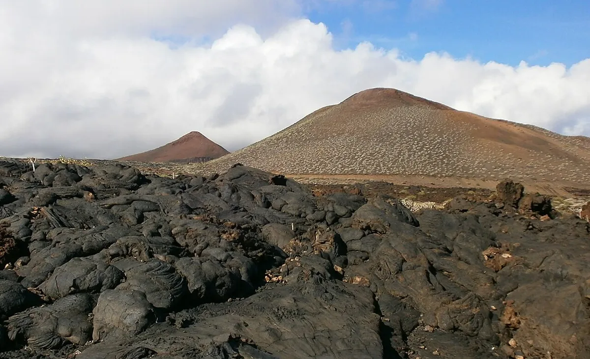
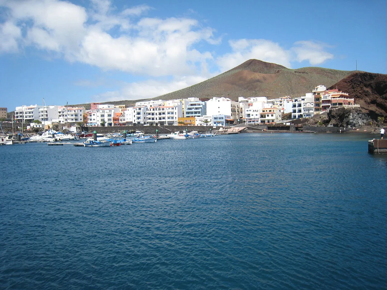
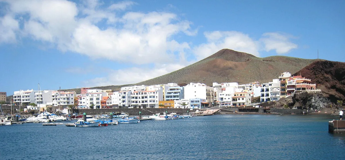
Tagoro lies in the sea off La Restinga, the small fishing village at the far south of El Hierro. Like every Canary island, El Hierro is volcanic, and the archipelago sits on a volcanic hotspot in the Atlantic.
Tagoro belongs to the same story as the island above it, only still under water. Our Canary Islands Volcano Map: Where the Volcanoes Are shows where El Hierro sits relative to the other islands. For depth, summit height and survey data, rely on the research bodies rather than travel blogs.
The 2011–2012 Eruption in Brief
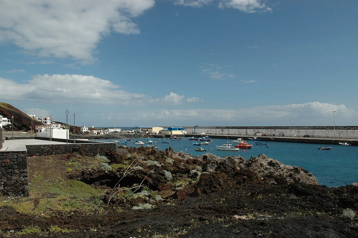
Earthquakes under El Hierro came first. The eruption itself was almost entirely out of sight, which makes it unusual among Canary events. Current monitoring information is published by INVOLCAN, the Canary Islands volcanology institute.
- Late 2011: a submarine eruption begins off La Restinga, in October 2011.
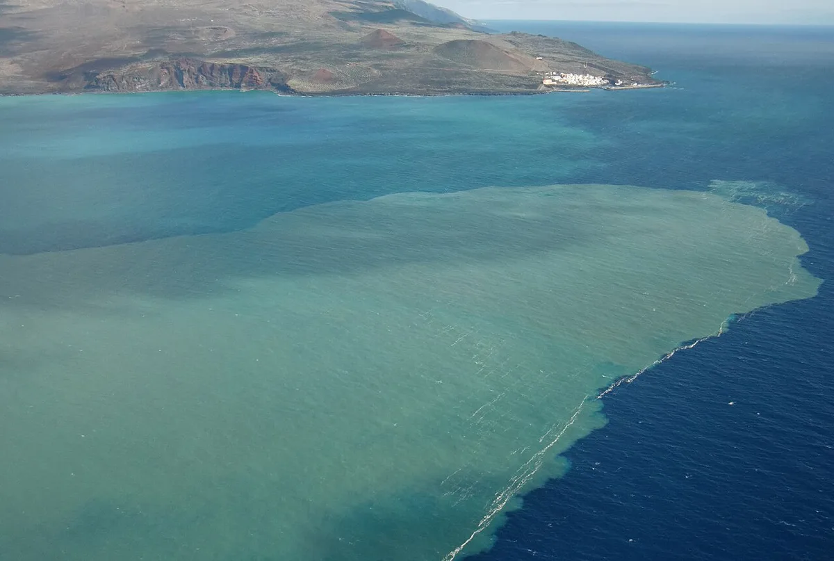
- Visible effects at sea: discoloured water and floating volcanic material near the coast.
- Local impact: La Restinga sat closest to the activity, so the village and its sea access were affected.
- Early 2012: the eruption ends and monitoring continues.
Can You See Tagoro? Visitor Options
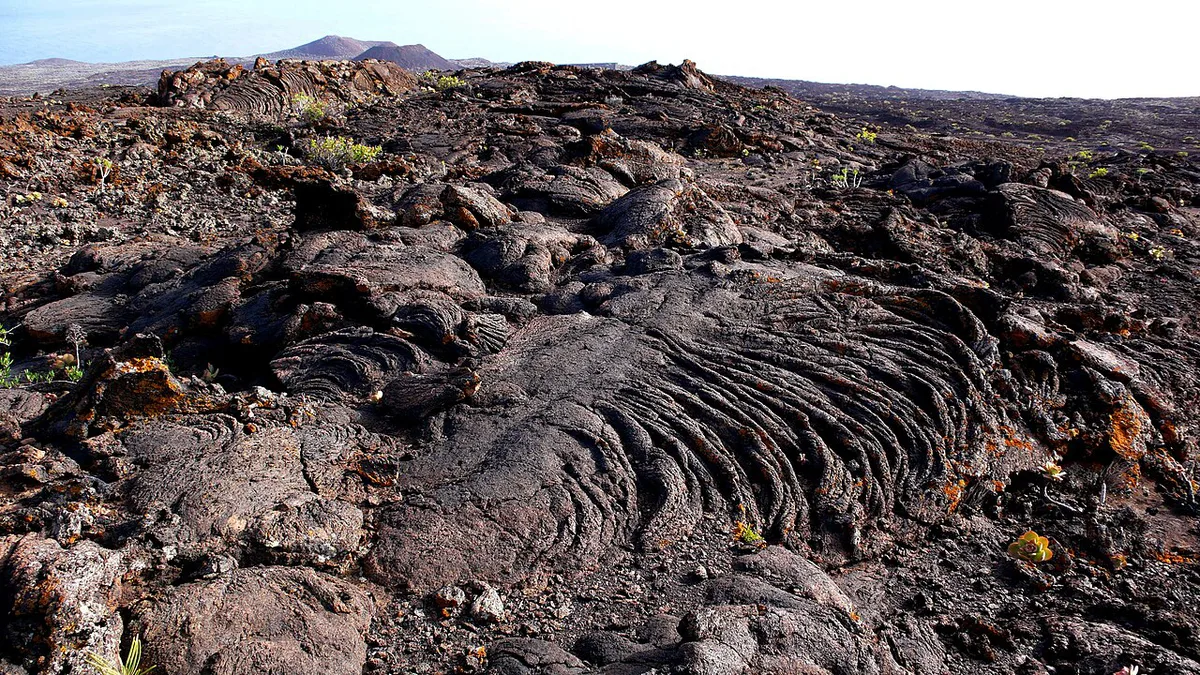
You cannot hike to Tagoro. There is no crater rim, lava field or viewpoint above the vent. What you can do is visit the coast it lies off and see the sea it erupted into.
Boat and dive access depends on licensed local operators, sea conditions and any marine rules in force. Ask in La Restinga before you plan around a trip, and do not assume a tour runs on a given day.
- Shore visit at La Restinga: low cost, low effort, and no special skills. You see the harbour and open sea, not the volcano.
- Boat trip from La Restinga: medium cost and time. It suits visitors who want to be on the water above the site, subject to weather.
- Guided dive: highest cost and skill requirement. It suits certified divers who book through a licensed operator.
Getting to La Restinga and El Hierro
El Hierro is reached by air or by sea from the other Canary Islands. La Restinga is a drive from the island's main settlements, so a rental car is the simplest way to reach it. Timetables and fares change by season, so check the airline, the ferry operator and the El Hierro island tourism office for current schedules. Allow a full half day for the village if you are not staying nearby.
Tagoro vs Other Canary Volcanoes
Most Canary volcano visits are on foot, on land. Tagoro is the reverse, which changes what you book and what you will see. Use the island guides below to compare.
| Volcano or area | Type | How you see it | Best for |
|---|---|---|---|
| Tagoro, El Hierro | Submarine | Boat, dive, or from the coast at La Restinga | Divers and visitors curious about the 2011 eruption |
| Gran Canaria volcanic sites | On land | Walking and driving | Visitors who want craters and viewpoints |
| Fuerteventura Volcanoes: Calderón Hondo & Where to Hike | On land | Walking routes and lookouts | Easy day trips on foot |
| Roque de Agando, La Gomera: Viewpoints, Access & Tips, La Gomera | On land, eroded volcanic rock | Viewpoints and hiking | Landscape and photography |
Common Mistakes to Avoid
Most confusion comes from the name and from sea access.
- Assuming Tagoro is walkable. It is offshore and underwater.
- Expecting visible surface features. Today you see open sea, not an active vent.
- Confusing it with the Tenerife hotel of the same name.
- Ignoring sea conditions and any local access rules before booking a boat or dive.
- Treating El Hierro as a quick add-on. La Restinga sits far from the island's other main areas.