Lac Pavin Guide: Volcanic Lake Hike, Access & Tips
Last updated November 2026. Lac Pavin is a circular crater lake near Besse-et-Saint-Anastaise in the Auvergne volcanic uplands, sitting at about 1,270 m (roughly 4,170 ft) inside the Parc naturel régional des Volcans d'Auvergne. Plan a short lake walk of its own, or a half day if you add the Puy de Montchal viewpoint climb. Lake Pavin also fits into a wider tour of volcanoes across France.
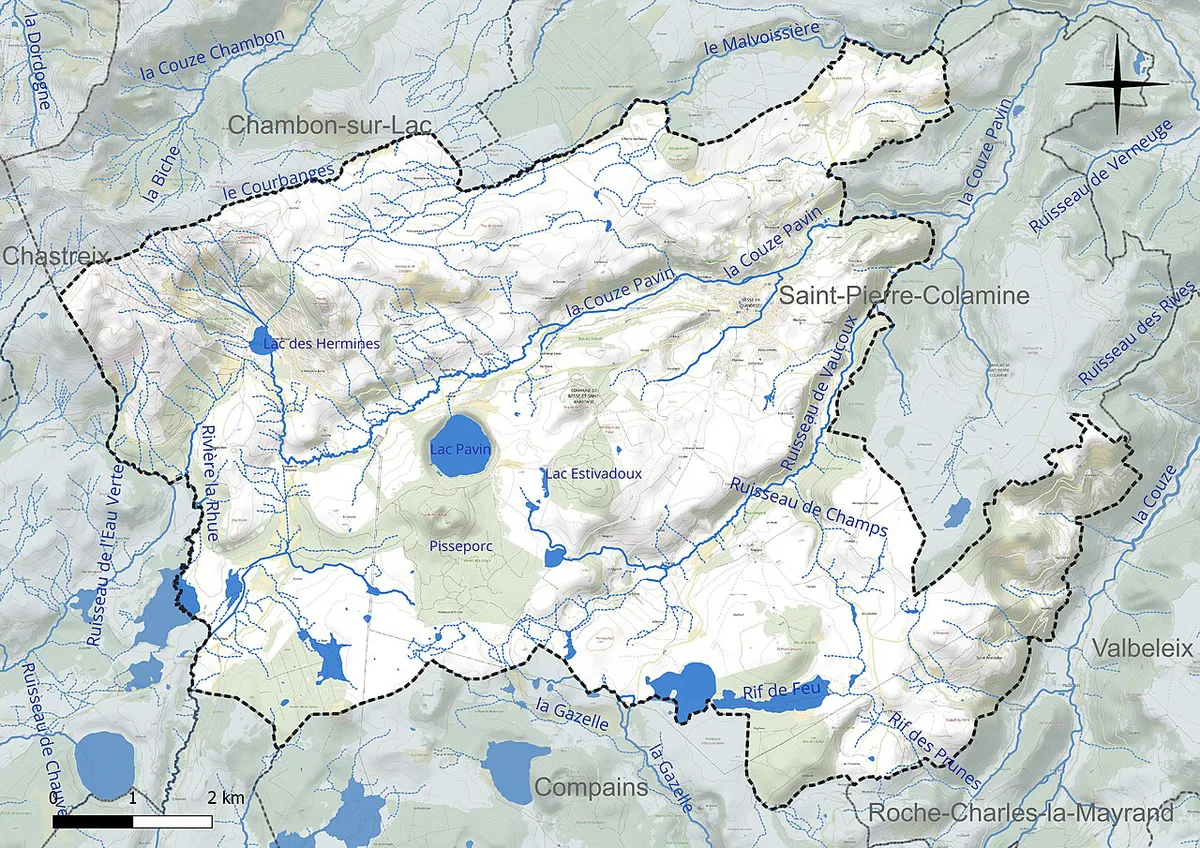
Featured image: Romary, CC BY-SA 3.0, via Wikimedia Commons.
Lac Pavin at a glance
Lac Pavin is a deep, round lake that formed in a violent volcanic explosion. It lies in the Monts Dore area, which is part of the Massif du Sancy, close to Besse-et-Saint-Anastaise and the ski resort of Super-Besse. Its surface sits at about 1,270 m (roughly 4,170 ft), and its depth is reported at almost 100 m (roughly 330 ft). Ringed by forest, it is among the youngest volcanic features of the Massif Central. Most visitors need an hour or two for the shoreline alone. A half day suits anyone adding a summit view.
- Location: near Besse-et-Saint-Anastaise, Auvergne, France
- Elevation: about 1,270 m
- Depth: almost 100 m
- Origin: explosive maar-type crater, circular in shape
- Protection: inside the Parc naturel régional des Volcans d'Auvergne
How a volcanic crater became a lake
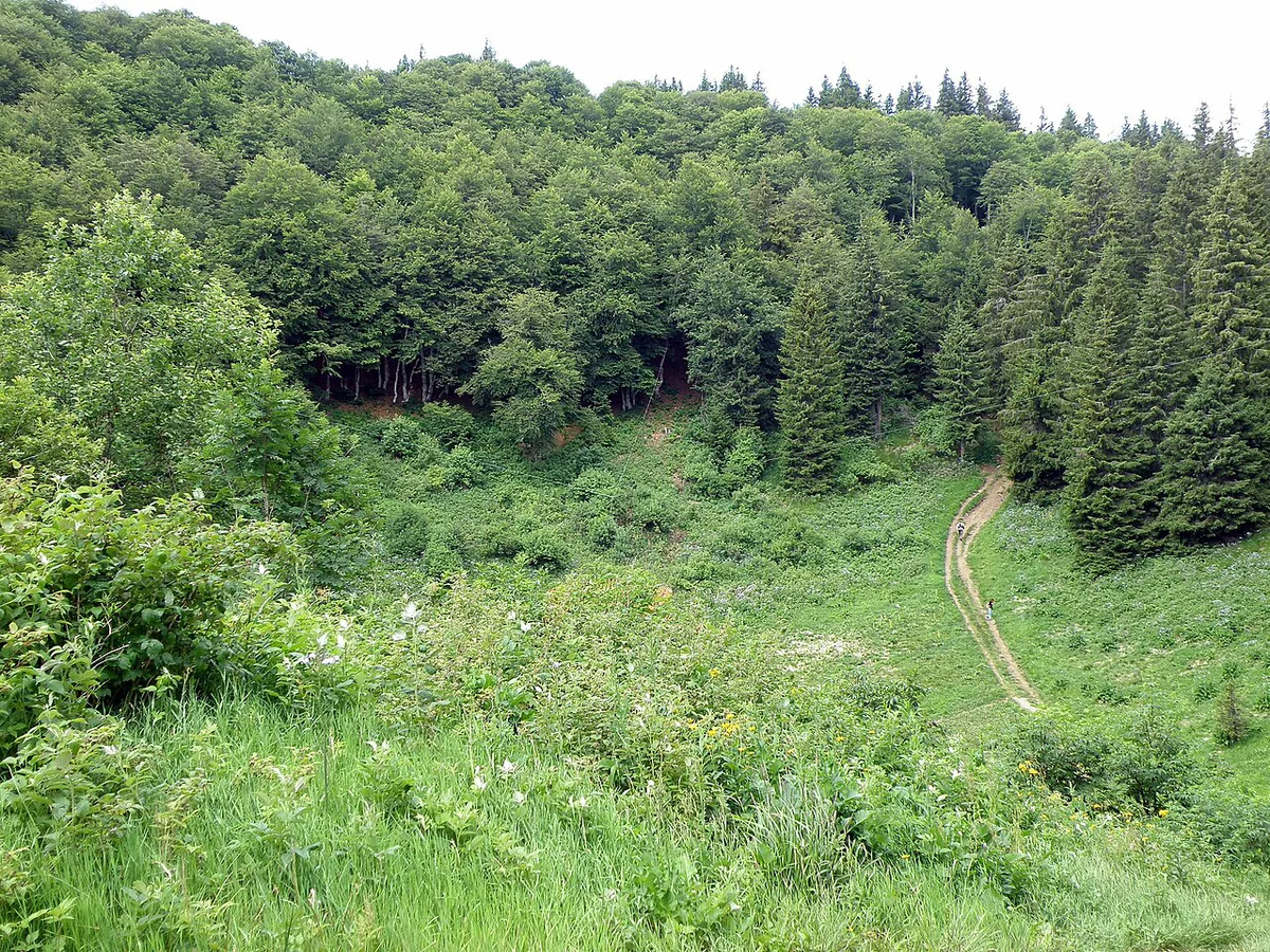
A maar forms when rising magma meets water and the resulting blast excavates a wide, steep-sided crater. That crater then fills with water. Lac Pavin's explosion is dated to about 6,900 years ago, and one account says traces of the eruption turned up in the sediments of Lake Geneva. Pavin is also meromictic, which means its surface water does not mix with the deep water below. The depths are reported to hold toxic gas. That layering has made the lake a long-running subject of scientific study. The regional natural park is the best place to read about the protected area. Local legends surround the dark water, and the name is said to mean "appalling". Treat both as folklore rather than established fact.
Getting there and parking
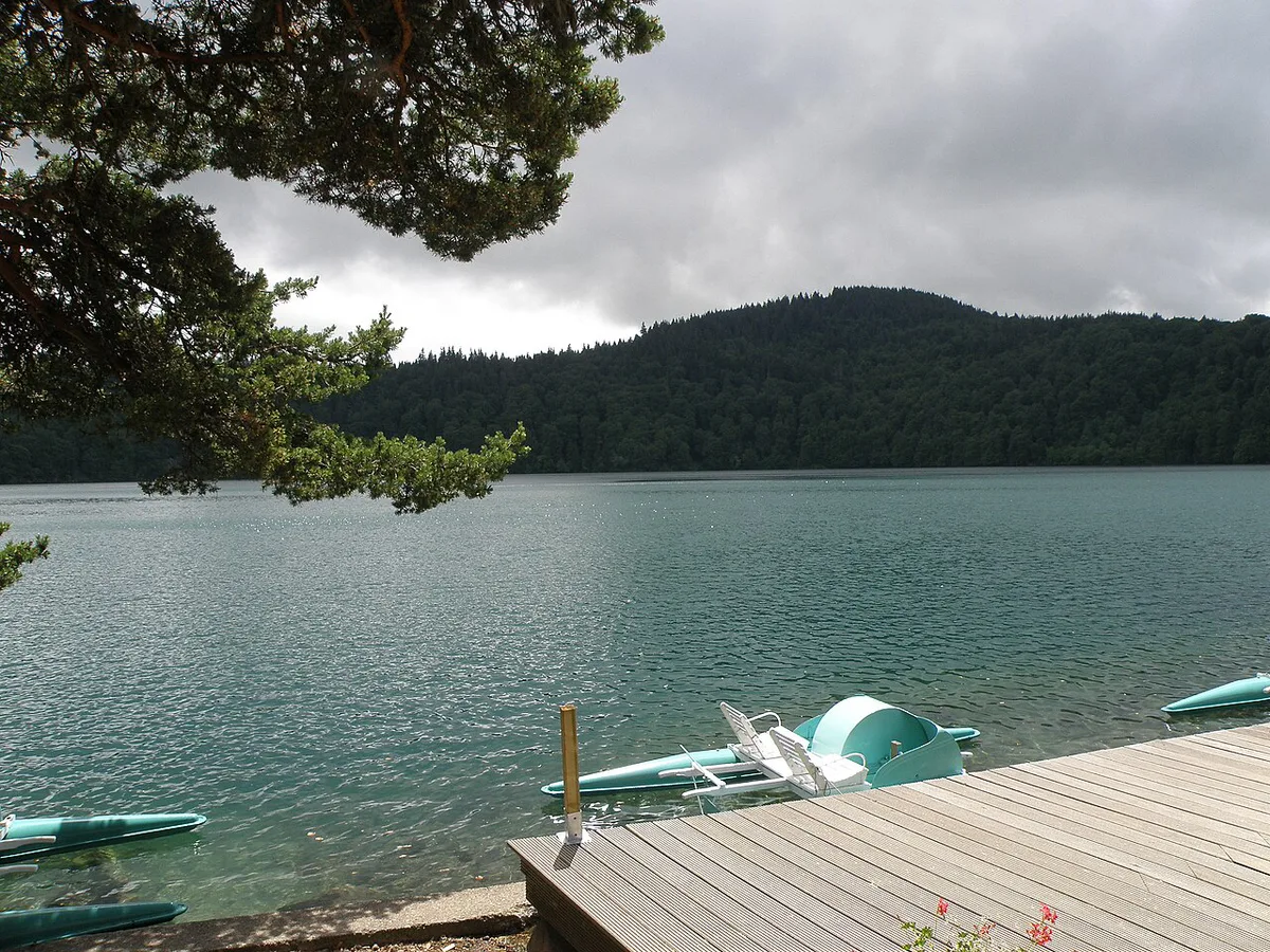
Lac Pavin is a road trip, and the lake sits at about 1,270 m, so winter access can differ from summer. Parking fees, seasonal road status and any shuttle service are listed by the Sancy tourism office. For a base city, see our guide to volcano day trips from Clermont-Ferrand.
Walking around Lac Pavin
A path follows the lake, and signs point the way toward Puy de Montchal. Loop length, surface and suitability for buggies or wheelchairs are not documented here, so ask the tourist office before bringing anyone with limited mobility. Photographers favour sunrise, when light hits the forest rim and the water stays still. Fog or rain can hide the view completely, so keep the day flexible.
- Mistake to avoid: treating the lake as a swimming spot. Check the rules first.
- Mistake to avoid: underestimating mountain weather at about 1,270 m. Pack a waterproof layer.
- Mistake to avoid: assuming winter paths and roads are open. Ask locally before you drive up.
Puy de Montchal: the climb for the view
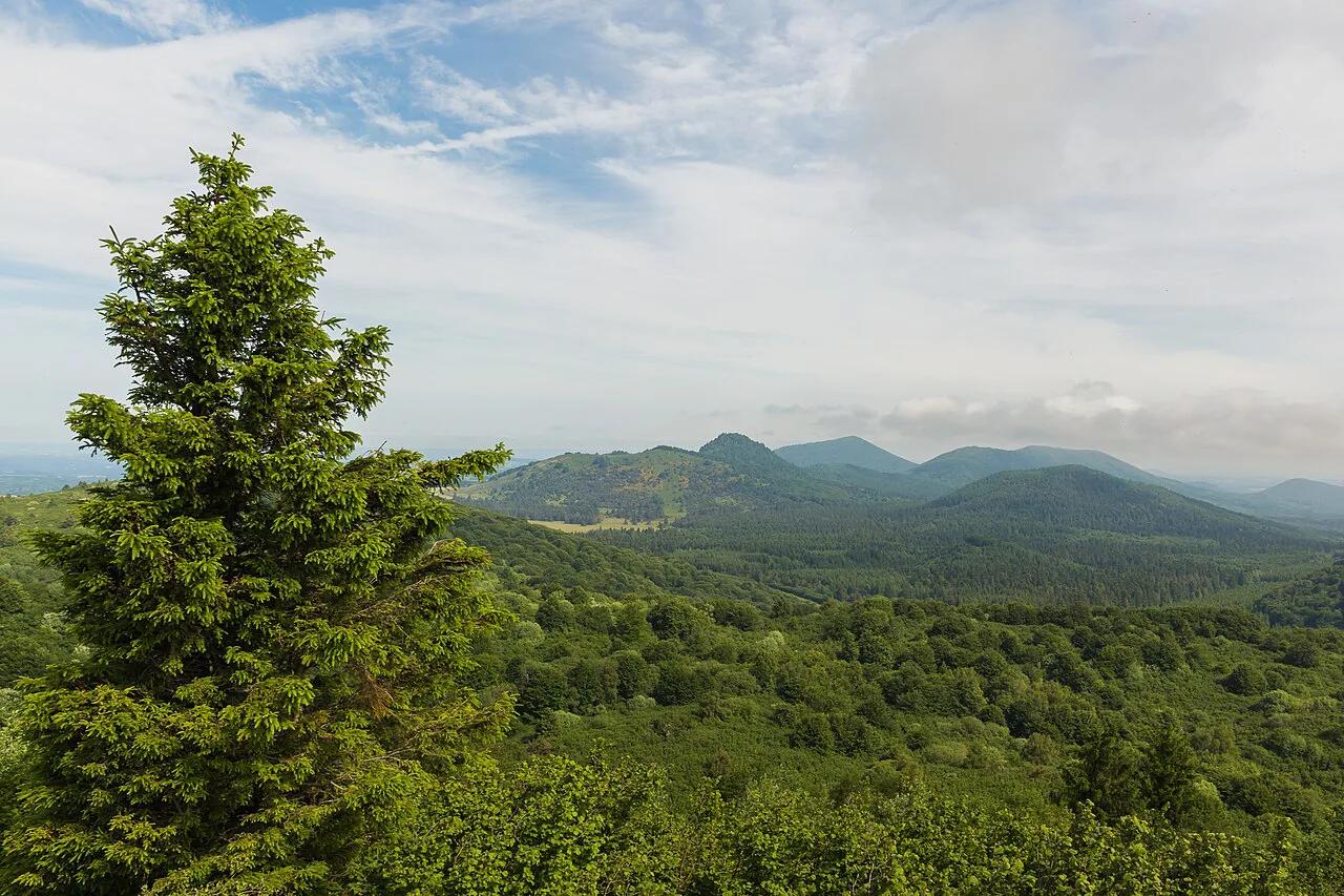
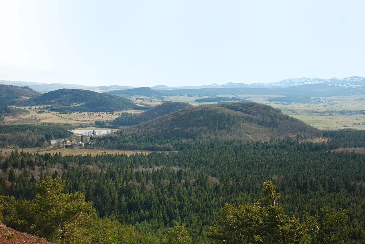
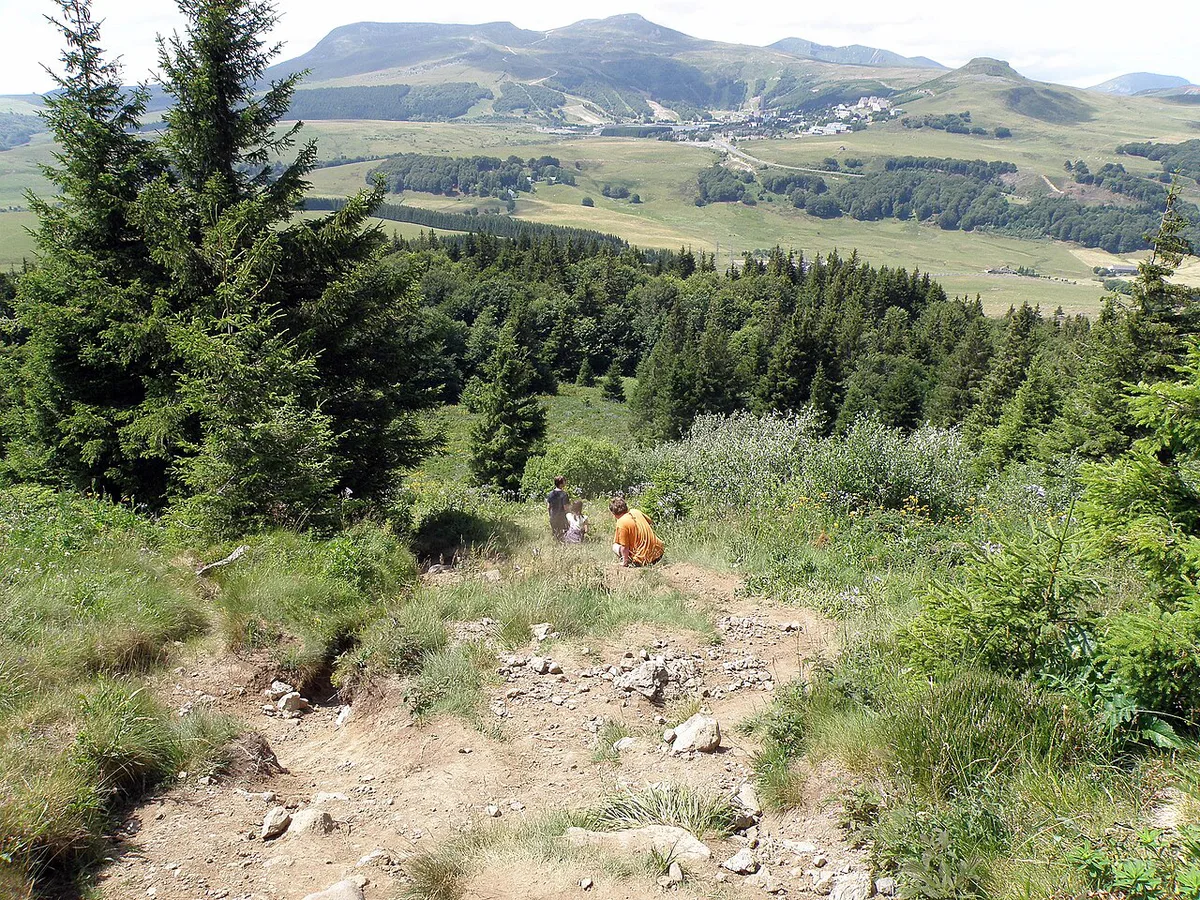
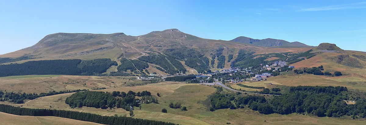
Follow the lake, then take the Puy de Montchal direction. The ascent runs through forest and is signed. It is steady rather than difficult. From the top, you look over Super-Besse, the Massif du Sancy and toward the Cézallier plateau. On a clear day, the neighbouring volcanic chain is visible in the distance, with the Puy de Dôme landmark among its peaks. On the way down, you cross the Montchal crater. Turn left for a lake viewpoint, then turn left again and follow the path about 500 m back to the start. Skip the climb if the weather is poor or your time is short.

| Option | Effort | Views | Best for |
|---|---|---|---|
| Lake loop only | Low | Water and forest rim | Short stops, families, mixed fitness |
| Loop plus Puy de Montchal | Moderate, steady forest climb | Lake, Super-Besse, Sancy, Cézallier | Half day with good weather |
| Puy de Chambourguet viewpoint | Low to moderate | Elevated view of the lake | Photographers and quick visits |
When to go: season by season
Spring brings snow on the higher Sancy peaks above green lower slopes. Summer is the easiest season for access and walking. Autumn suits quiet forest walks. In winter, the lake can freeze, and snow may close roads or paths. Check conditions before driving up, because the area sits at about 1,270 m.
| Season | What you see | Access | Suits |
|---|---|---|---|
| Spring | Snowy peaks, budding forest | Mud and late snow possible | Photographers |
| Summer | Open forest paths, clear views | Easiest season | Families, hikers |
| Autumn | Forest colour, calm water | Shorter days, cooler air | Quiet walks |
| Winter | Frozen lake, snow views | Roads and paths may close | Experienced winter walkers |
Rules, safety and respect for the site
Lac Pavin lies in a protected area, so local regulations apply. Swimming, boating and fishing rules are not confirmed here. Ask the Sancy tourism office before bringing gear. Some path segments may be restricted, and they can change with the season. Stay on marked trails, and treat the lake as a research site rather than a beach.
Combining Lac Pavin with nearby stops
Nearby places include Puy de Chambourguet, the Vallée de Chaudefour with its Cascade de la Biche, Lac Chambon, Super-Besse and the lanes of Besse-et-Saint-Anastaise. For a full day, add the massif's highest summit through our Puy de Sancy visit guide. A longer regional trip can include the Cantal volcanic massif at Puy Mary Guide: Summit Hike, Routes & Planning. The nearby Plomb du Cantal summit is another option there. The next day, head to the Chaîne des Puys, where Puy de Pariou's crater walk makes an easy start.
| Time budget | Plan |
|---|---|
| Quick stop | Lake path and one viewpoint |
| Half day | Lake loop plus Puy de Montchal |
| Full day | Lake, Chambourguet or Chaudefour, then Super-Besse or Lac Chambon |