Lanzarote 1730 Eruption: What Happened and Where to See It
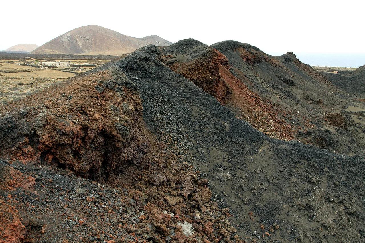
Last updated November 2026: the Lanzarote 1730 eruption began on 1 September 1730 near Timanfaya and, by historical accounts, ran for six years. It buried farmland and villages across roughly a quarter of the island. Timanfaya's Montañas del Fuego and several nearby stops still show that history, and our Lanzarote volcanoes guide maps them all.
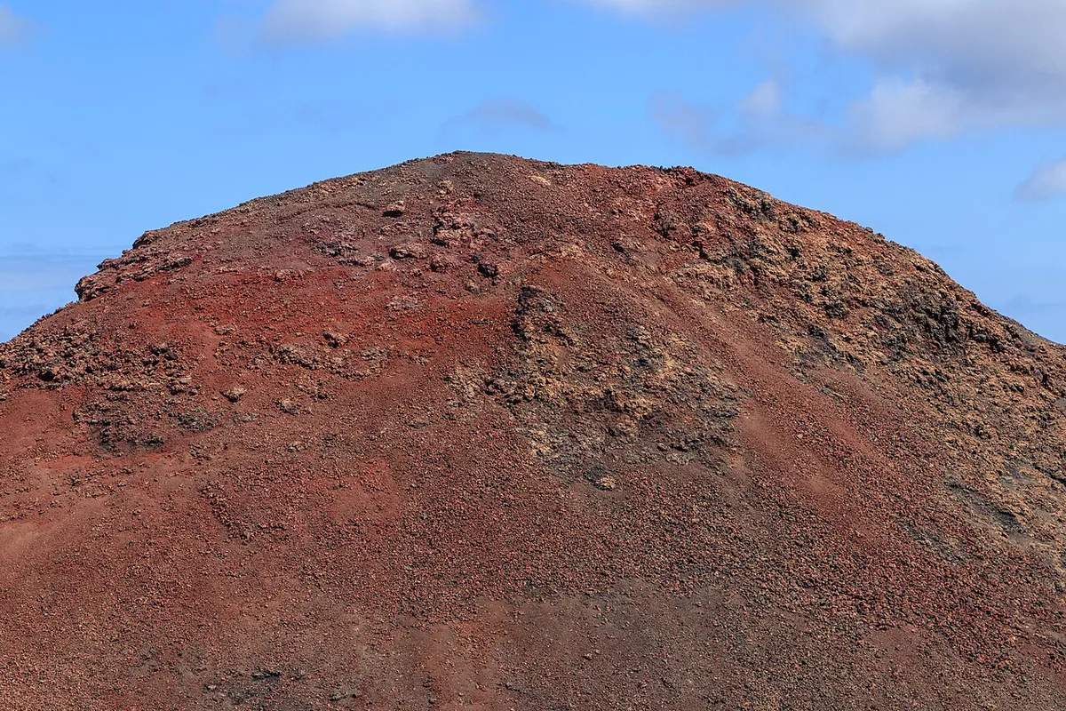
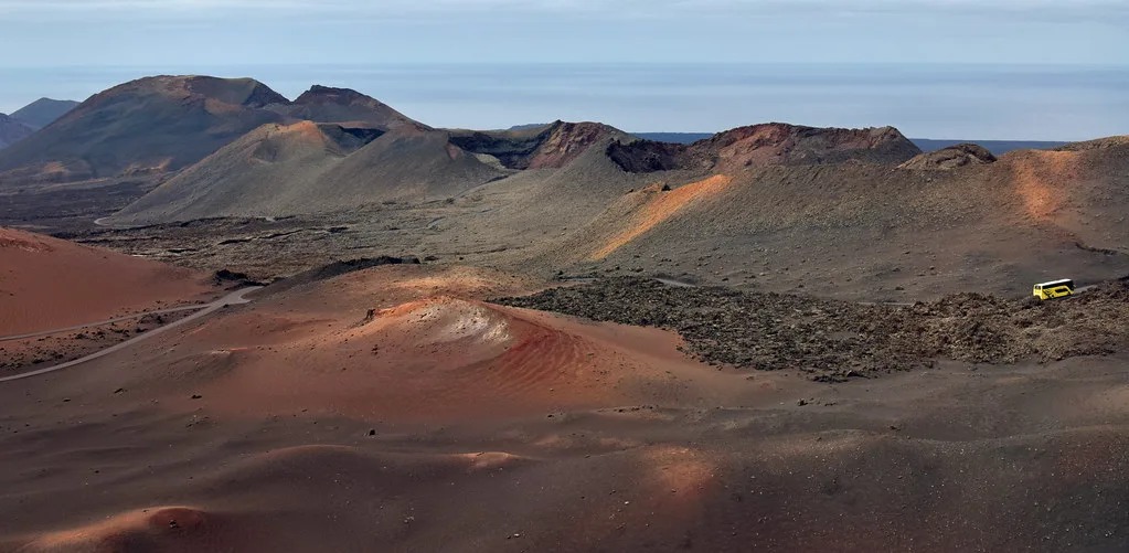
Featured image: Chmee2, CC BY-SA 3.0, via Wikimedia Commons.
What happened in the Lanzarote 1730 eruption
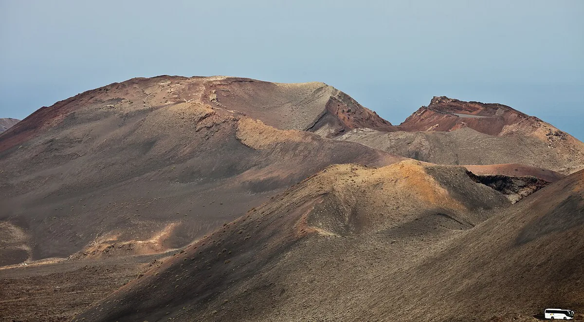
On 1 September 1730 the ground opened near Timanfaya, and a large cone rose where none had stood. Activity then continued for about six years, into 1736. Today the Canary Islands are watched by INVOLCAN's volcano monitoring network, which did not exist in 1730. Historical figures below are estimates, and published counts differ.
- Start: 1 September 1730, in the Timanfaya area.
- Duration: about six years, ending in 1736.
- Scale: nine villages buried, by historical estimates, and nearly a quarter of Lanzarote affected.
- Significance: described as the most violent eruption recorded in historical time in the Canaries.
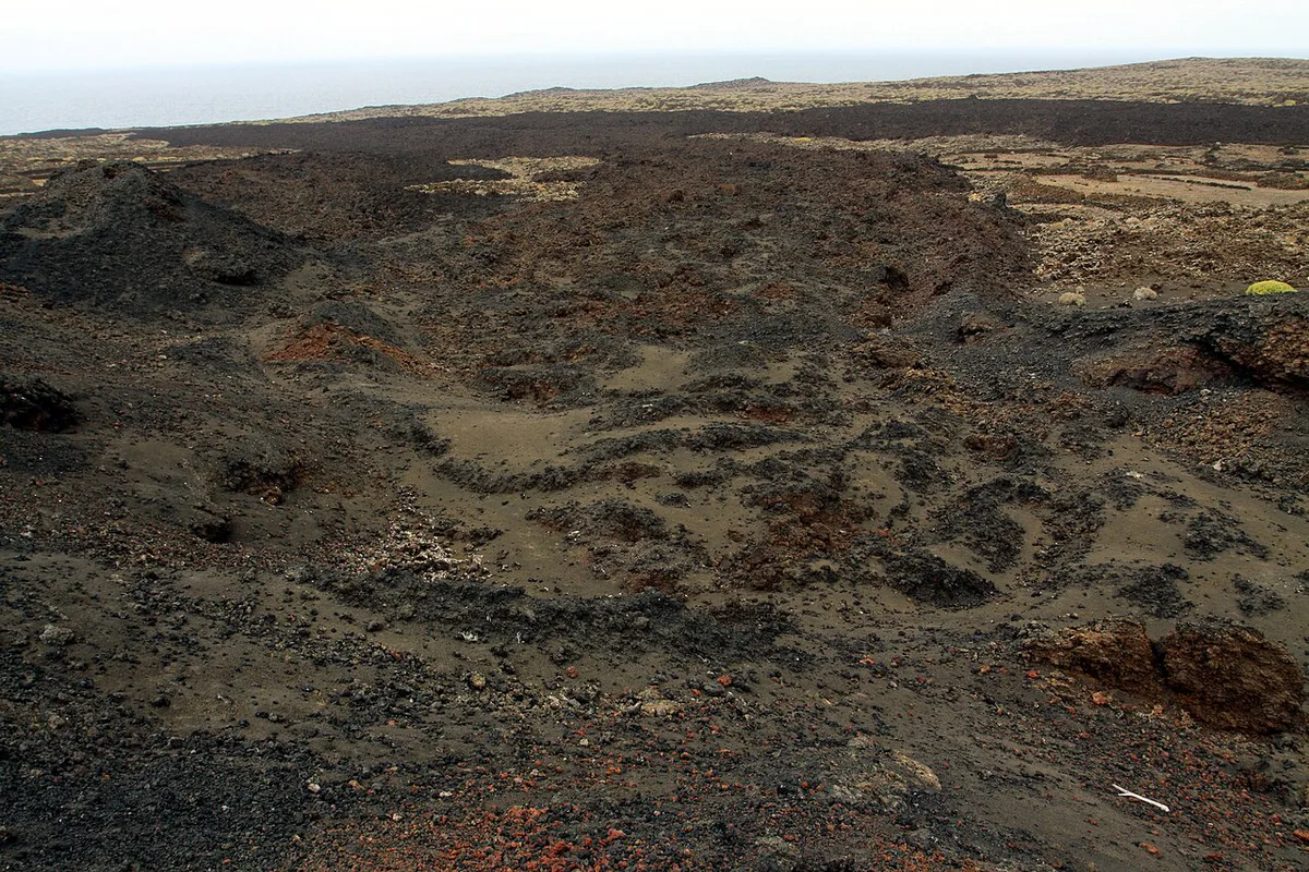
How the eruption reshaped Lanzarote
Lava and ash covered some of the island's best farmland, so farmers had to rethink how to grow food. They learned that a layer of black volcanic gravel, called picón or lapilli, traps overnight moisture. Growers dug deep hollows through it to reach the buried soil beneath. That method still defines the vineyards of La Geria, Lanzarote: Wine Route, Zocos & Tasting Guide, where each vine sits in its own pit, often shielded by a low stone wall. Lava also reached the sea on the west coast. Today you can see that contact zone at Los Hervideros, Lanzarote: When to Go, Parking and Safety Tips.
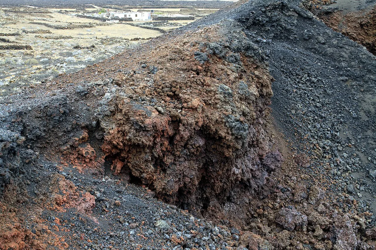
Where to see the eruption's legacy today
Each stop below shows a different part of the story. Start with the short roadside stops, and save the hikes for when you have energy and daylight.
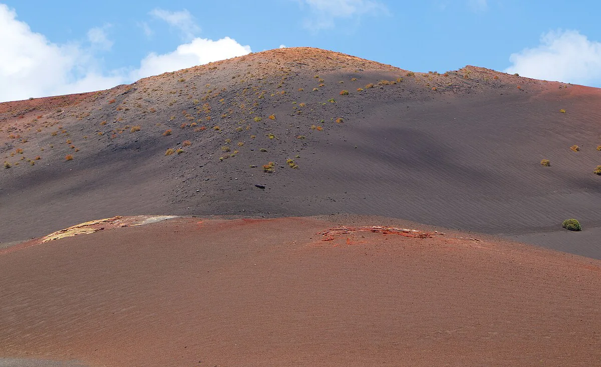
| Site | What it shows | Effort and access |
|---|---|---|
| Los Hervideros, Lanzarote: When to Go, Parking and Safety Tips | Lava cliffs where molten rock met the Atlantic | Short stop beside the road, with viewing paths |
| La Geria, Lanzarote: Wine Route, Zocos & Tasting Guide | Vines grown in pits dug through volcanic ash | Drive-through, with winery stops along the way |
| Charco de los Clicos, Lanzarote: How to Visit the Green Lagoon | Crater lagoon with olivine-green tones | Short stop with a viewpoint |
| Caldera Blanca Hike, Lanzarote: Route, Time & Wind Tips | A broad crater you can walk around | Hiking required, the most effortful stop here |
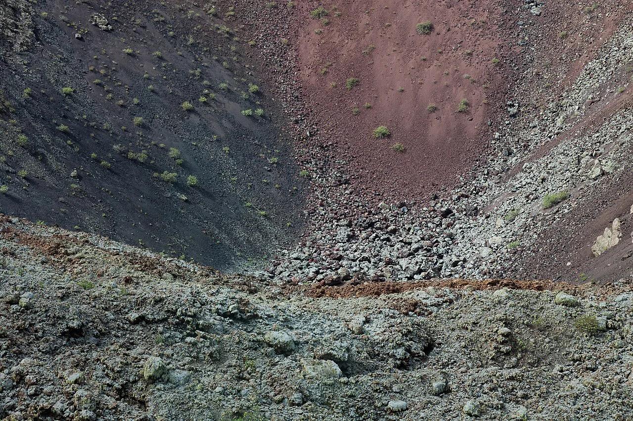
| Volcán del Cuervo | A single cone and its crater, close up | Short loop walk |
| Volcán de la Corona | An older volcano that contrasts with the 1730 landscape | Moderate effort, best as a separate outing |
| Ruta de los Volcanes en Lanzarote: Rutas, Tiempos y Consejos | Fire Mountains driving route linking the main viewpoints | Vehicle-based, with stops of your choice |
How to plan a visit
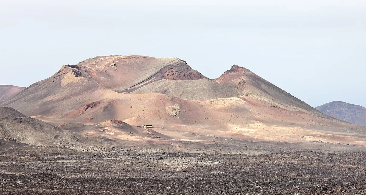
Access to the core of the Timanfaya area is controlled, so you cannot wander freely across the lava fields. Independent travelers can still drive the surrounding roads and make the stops above. For the restricted interior, the park's own guided transport is the route in.
- Self-drive: flexible, suits La Geria, Los Hervideros and Charco de los Clicos, and lets you linger at Ruta de los Volcanes en Lanzarote: Rutas, Tiempos y Consejos viewpoints.
- Guided: removes parking and navigation, adds commentary, and suits first-timers. Compare options in our Lanzarote Volcano Tour: Timanfaya Options & Tips guide.
- Half day: pair Los Hervideros with La Geria for the lowest effort.
- Full day: add a crater walk at Caldera Blanca or a loop at Volcán del Cuervo.
- Experience note: the camel rides on lava terrain are a ride-along extra, not a way to see the eruption sites.
Costs, tickets and hours
Tickets and opening hours change, so use the official channels for current figures. Start with the Timanfaya visitor centre pages for park access. Then check the Lanzarote tourism board for island-wide updates.
Common mistakes and myths
A few misunderstandings come up repeatedly when people plan around the eruption.
Keep the 1824 eruption apart from the 1730 eruption, which ran into 1736, so the dates don't blur.
- Treating the cones as one volcano: the 1730–1736 event built many vents and cones, not a single mountain.
- Assuming you can hike anywhere on the lava: the Timanfaya interior is protected, and access is controlled.
- Mixing up eruptions: the 1824 eruption was a separate, later event.
- Assuming every volcano here dates from 1730: Volcán de la Corona is older and shows a different chapter.
Frequently Asked Questions
Is Lanzarote a volcanic island?
Yes. Volcanic activity built the island, and the 1730–1736 eruption is its best-known historical chapter. Landscapes such as La Geria and Los Hervideros still show its effects.
When was the last time a volcano erupted in Lanzarote?
Historical records place the most recent Lanzarote eruption in 1824, after the 1730–1736 series. Nothing comparable has been recorded on the island since.
Could Lanzarote volcano erupt?
Future activity in the Canaries cannot be ruled out, and nobody can give a date. INVOLCAN monitors the islands, so check its site for current status.