Canary Islands Volcano Map: Where the Volcanoes Are
Last updated November 2026: this Canary Islands volcano map covers all seven main islands, and every one of them is volcanic in origin. Tenerife, La Palma, Lanzarote and El Hierro hold the youngest volcanic terrain, while La Gomera, Gran Canaria and Fuerteventura are older and more eroded. Use the table for orientation and INVOLCAN for live status. Our Canary Islands volcanoes overview goes deeper on each island.
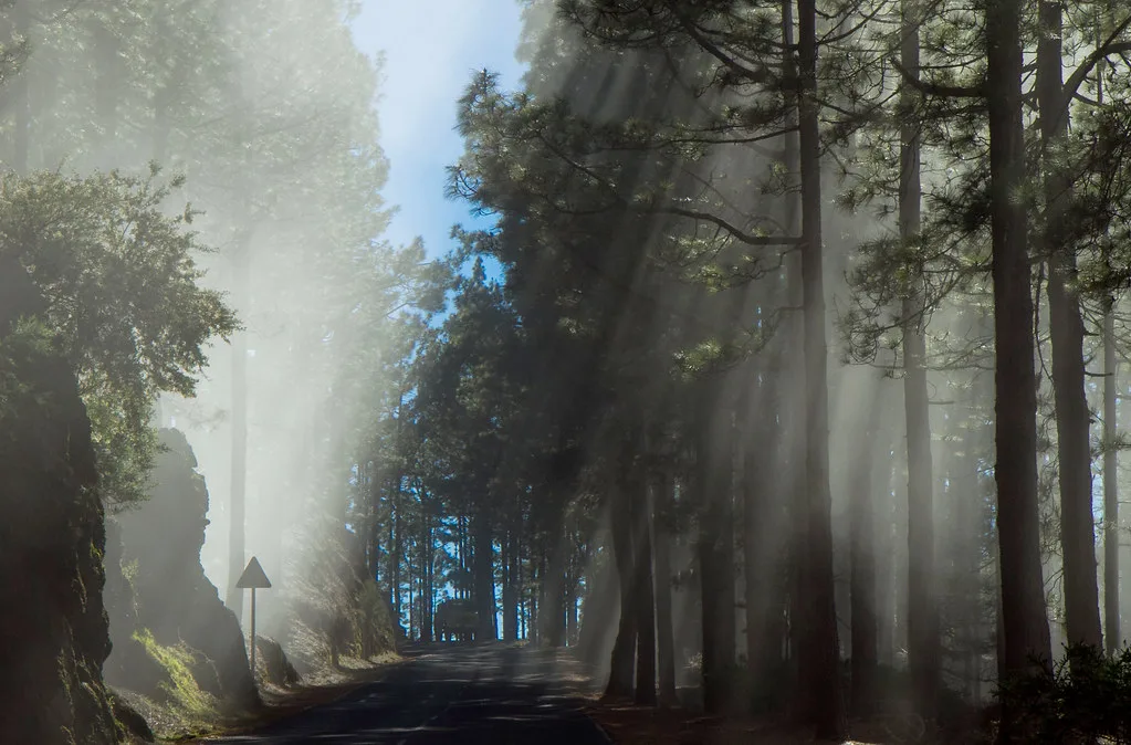
Featured image: bonnieshappell, CC BY-SA 2.0, via Flickr.
Canary Islands volcano map at a glance
Start with this schematic, which lists each island with its key volcanic feature, a visitor-friendly site and the best place to check status. It is a text map rather than a licensed image, so nothing here depends on third-party artwork. Picture the archipelago as a west-to-east chain, with El Hierro, La Palma, La Gomera and Tenerife in the west and Gran Canaria, Fuerteventura and Lanzarote further east. Eruption dates come from the historical record, and status always comes from the monitoring agencies.
| Island | Key volcanic feature | Visitor site | Status source |
|---|---|---|---|
| El Hierro | Submarine volcano Tagoro offshore | Coastal and offshore viewpoints | INVOLCAN |
| La Palma | Cumbre Vieja, erupted 2021 | Viewpoints near the eruption zone | INVOLCAN and Canary Islands civil protection |
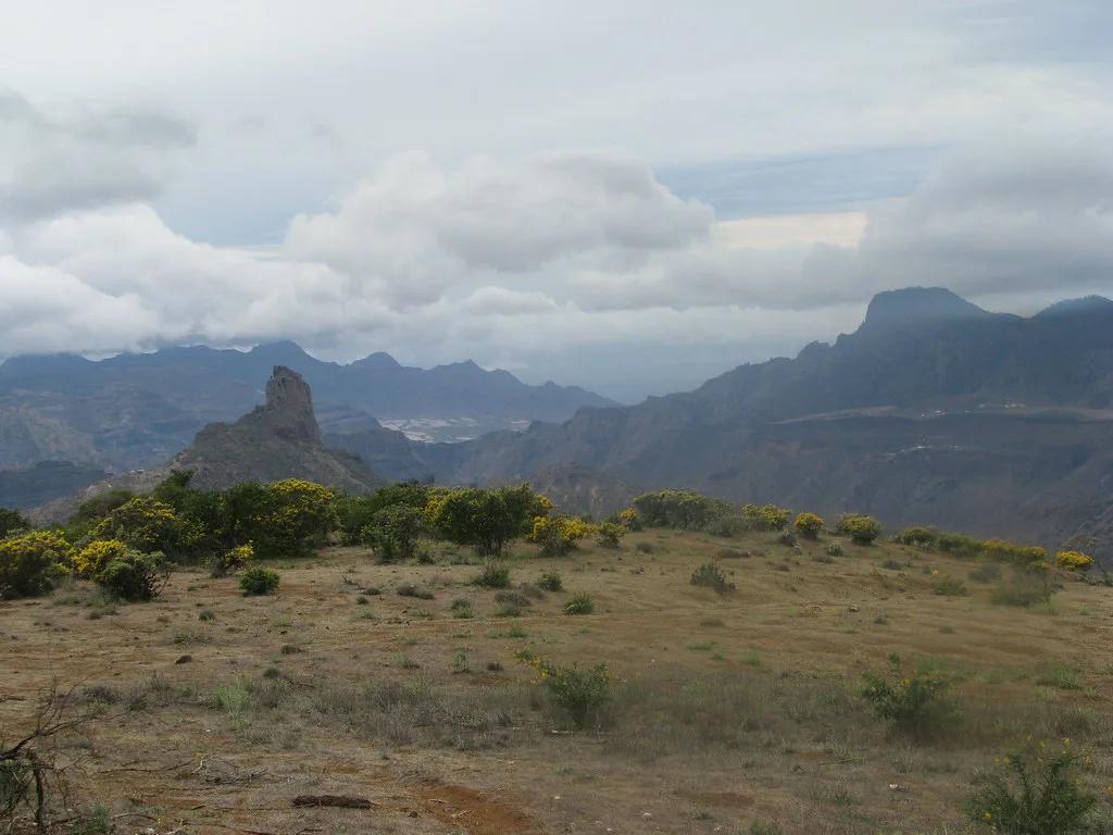
| La Gomera | Old eroded volcanic plugs such as Roque de Agando | Garajonay area and roadside viewpoints | Island tourism office |
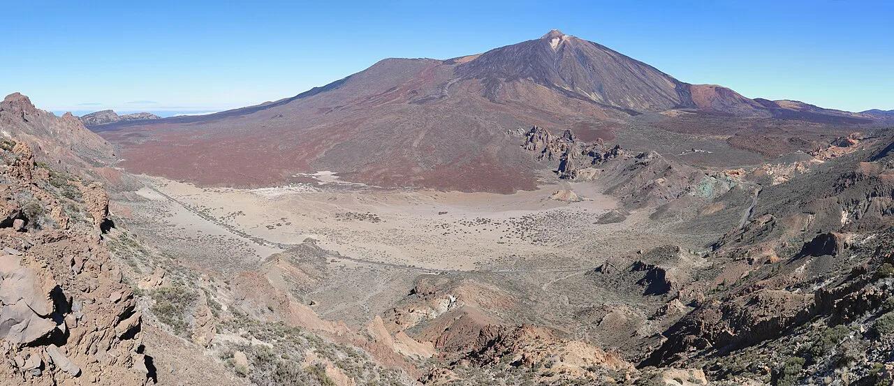
| Tenerife | Teide, with an eruption in 1798 | Teide National Park | INVOLCAN and park authority |
| Gran Canaria | Older volcanic cones and calderas | Inland volcanic landscapes | INVOLCAN |
| Fuerteventura | Oldest, heavily eroded volcanic terrain | Cones and badlands near the coast | Official island tourism site |
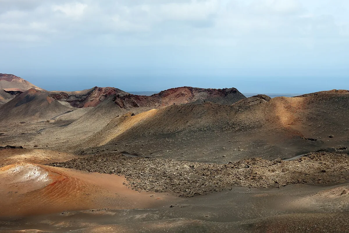
| Lanzarote | Timanfaya, erupted 1730 to 1736, plus an 1824 eruption | Timanfaya fire mountains | INVOLCAN and park authority |
- How to read this map: "volcano" can mean a single cone, a cone field, a caldera or a ridge of volcanic rock.
- A dot on a map does not mean a mountain is threatening. Many Canary volcanoes are ancient edifices with no eruption in the historical record.
Which Canary Islands volcanoes are active, and which are not
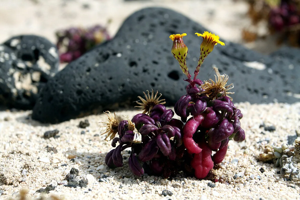
Volcanologists call a volcano active when it has erupted in recorded history or shows ongoing signs of unrest. Dormant volcanoes have no recent activity but could wake. Extinct ones are not expected to erupt again. In the Canaries, the historically active areas are La Palma, Tenerife, Lanzarote and El Hierro. Records include the Tehuya eruption on La Palma in 1585, the 99-day Narices del Teide eruption on Tenerife in 1798, and an 86-day Lanzarote eruption in 1824. Lanzarote also saw the Timanfaya eruptions that began in 1730 and lasted about six years. Each island's story is in our pillar guide to the archipelago's volcanoes. La Gomera, Gran Canaria and Fuerteventura show no recent eruptions. Their volcanic landscapes are old and deeply carved by erosion. That does not make them dull, because eroded plugs and cones are often easier to hike and photograph. Third-party map colours are not official codes. VolcanoDiscovery, for example, says its status colours are its own subjective interpretation with no official significance.
Island-by-island: where to see volcanic landscapes
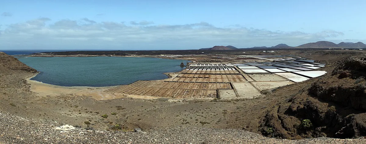
Each island suits a different kind of trip. Use these decision lines to pick one; access rules sit on each site's official page.
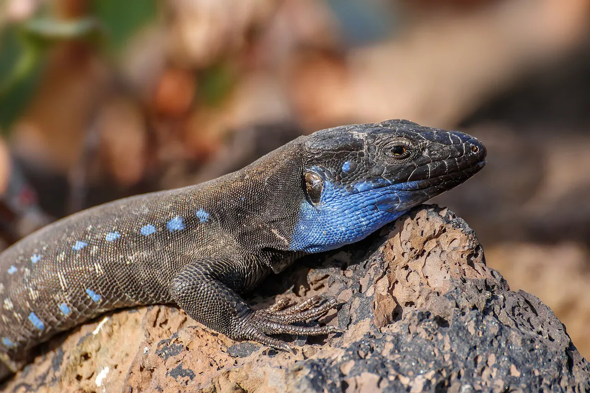
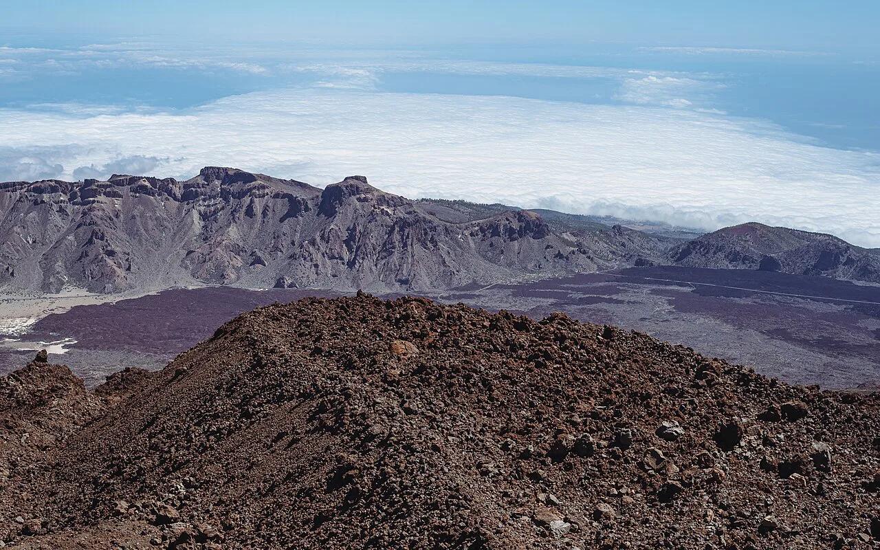
- Tenerife: best for a first volcano day. Teide National Park suits anyone who wants high-altitude lava fields, and the national park authority page covers access rules. Allow a full day.
- Lanzarote: best for lava desert scenery. Timanfaya suits drivers and tour-takers. The park's own page sets out its guided-only and bus arrangements. Allow a half day.
- La Palma: best for recent eruption landscapes. It suits hikers who want fresh lava and cones. Check local access to the affected zone first. Allow a full day.
- El Hierro: best for quiet, remote trips. Offshore, the Tagoro submarine volcano explains the island's recent geology. Allow a half day for coastal viewpoints.
- La Gomera: best for old volcanic plugs. Roque de Agando, La Gomera: Viewpoints, Access & Tips is a clear example, and the island tourism office lists viewpoints. Allow a half day.
- Gran Canaria: best for volcanic cones and calderas inland. Our Gran Canaria volcano guide maps the main sites. Allow a half day.
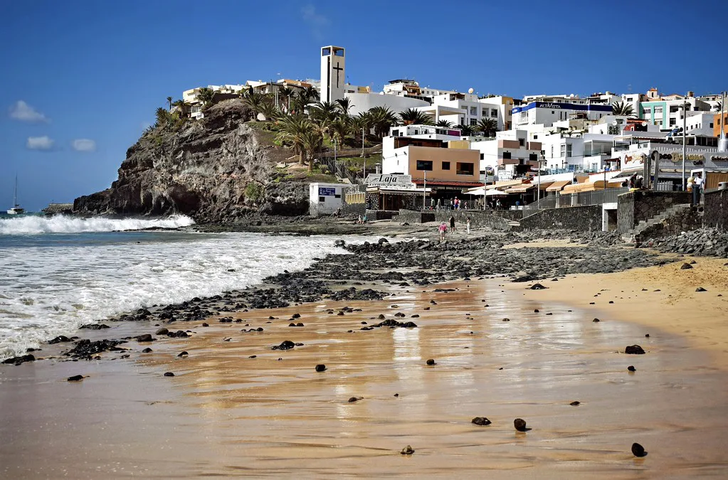
- Fuerteventura: best for eroded cones near beaches. The official island tourism site lists routes. Our Fuerteventura volcano guide suggests a short route. Allow a half day.
La Palma 2021: where the Cumbre Vieja eruption happened
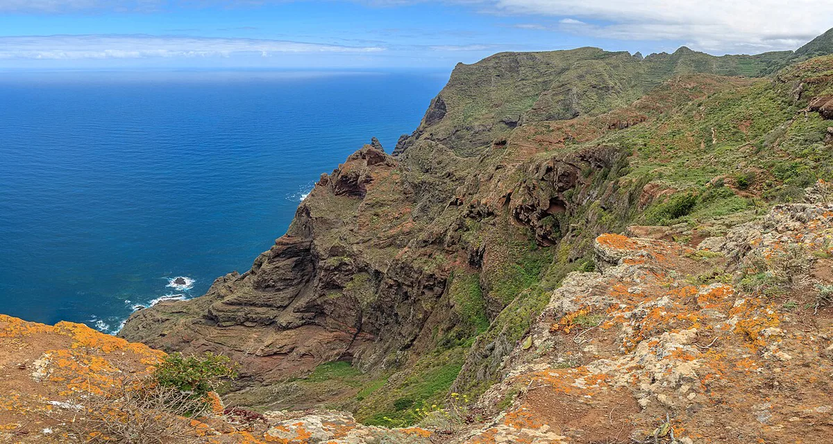
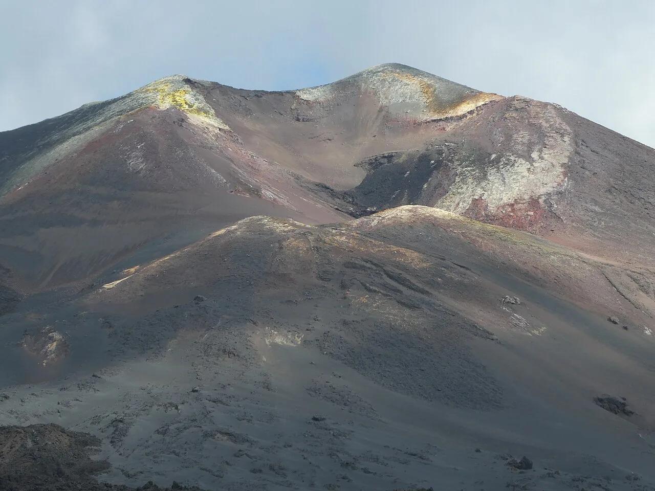
On the map, look at the southern half of La Palma, along the Cumbre Vieja ridge. The eruption began on 19 September 2021 and lasted roughly 85 to 88 days, depending on how the end is dated. Copernicus mapping put the lava cover at about 1,237 hectares. Roughly 3,000 buildings were affected, and the final official figures differ slightly between reports. It remains the longest eruption in La Palma's recorded history. For visitors, the Aridane Valley is the area to ask about locally. Access to the affected zone and nearby viewpoints can change, so confirm with the island's tourism office or civil protection before driving there. As of November 2026, plan around official guidance rather than any single map.
La Palma's 2021 eruption lasted roughly 85 to 88 days, while its Tehuya eruption dates to 1585.
How to check current volcanic activity before you travel
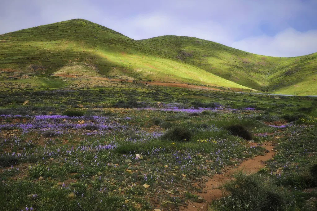
Official monitoring comes from the Spanish National Geographic Institute (IGN), the Instituto Volcanológico de Canarias and the regional emergency plan known as PEVOLCA. Each publishes its own updates, and the Canary Islands government issues civil-protection alerts. Read the alert level and its date rather than the colour of a map marker. Unofficial maps are useful for seeing earthquakes in one place, but they do not replace agency warnings. Check on the morning you travel, and again if wind or ash alerts are issued. Sources update at different speeds, so the timestamp is the key detail.
Planning trade-offs: time, cost, access
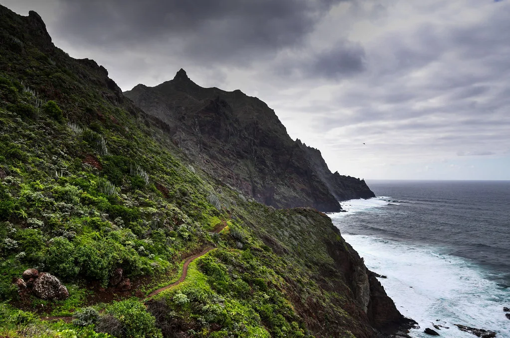
Costs here are qualitative, because ticket and tour prices change. Use the official pages for current figures.
Budget a full day for Teide, then recall the 99-day Narices del Teide eruption on Tenerife in 1798 as the record behind it.
| Site | Time | How you get there | Booking need | Who should skip it |
|---|---|---|---|---|
| Teide National Park, Tenerife | Full day | Car, tour or cable car | Check park rules | Anyone sensitive to altitude |
| Timanfaya, Lanzarote | Half day | Car then park bus or tour | Check park page | Travellers avoiding queues |
| La Palma eruption zone | Full day | Car or guided hike | Check local guidance | Anyone needing step-free access |
| Gran Canaria cones | Half day | Car | Usually none | Those wanting active volcanic sights |
| Fuerteventura cones | Half day | Car or local tour | Usually none | Those wanting lava fields |
- Mistake: assuming one map shows every island's risk equally.
- Mistake: driving into closed zones, especially on La Palma.
- Mistake: ignoring wind, ash and air-quality alerts.
- Mistake: skipping sturdy footwear and water on lava terrain.
Frequently Asked Questions
Are there active volcanoes in Lanzarote?
Lanzarote has historically active volcanic terrain. Timanfaya erupted from 1730 for about six years, and another eruption lasted 86 days in 1824. For current status, check INVOLCAN and IGN rather than relying on a map.
What would happen if Mount Teide erupted?
No source here forecasts a Teide eruption, and its last recorded eruption was in 1798. Monitoring agencies would issue alerts and civil protection would set access rules. Follow INVOLCAN and the national park authority for current information.