Last updated November 2026. Is La Palma safe to visit? For most travellers, yes: the island is an open tourist destination with a formal volcanic alert system. It also carries real volcanic, trail, road and weather risks, so check current official status before you fly and match the hazards below to your plans.
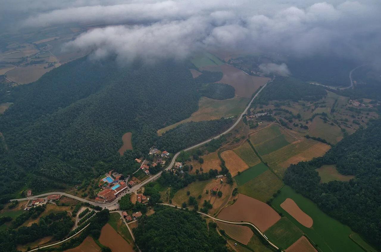
Featured image: ::ErWin, CC BY-SA 2.0, via Flickr.
The short answer: is La Palma safe to visit?
La Palma is generally treated as a normal, open destination, and most visits involve nothing worse than a foggy drive or a cold night at altitude. No island is risk-free, though. The hazards that matter here are volcanic status, steep terrain, mountain weather and winding roads. Violent crime is not what shapes a La Palma trip.
The island has an official volcanic alert system and an emergency plan, known as PEVOLCA, run by the Canary Islands authorities. A traffic-light style alert level tells residents and visitors how seriously to take volcanic activity. Check that level in the days before you travel, and again before any trip to the south or the high mountains.
| Hazard | Realistic likelihood for a visitor | What to do |
|---|---|---|
| Volcanic eruption | Low, and monitored | Check the alert level before travel and follow any evacuation order |
| Tsunami | Not a practical planning concern | Read the science below; follow local civil protection if a warning is ever issued |
| Gas near lava fields | Local and area-specific | Respect closures and signs around the 2021 eruption zone |
| Trail falls and weather | The most common real risk | Start early, carry layers, tell someone your route |
| Mountain roads | Common, usually minor | Drive slowly, allow extra time, avoid fog and night driving if unsure |
| Sea swell and currents | Season and beach dependent | Swim where lifeguards and flags are present |
| Wildfire and calima | Mainly summer | Follow fire restrictions and weather warnings |
Is the volcano a risk right now?
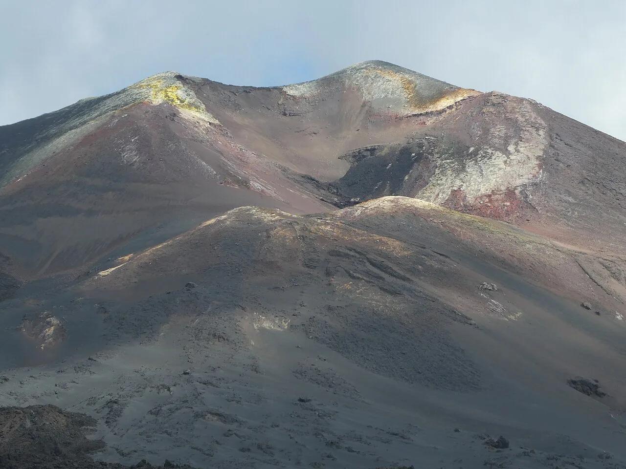
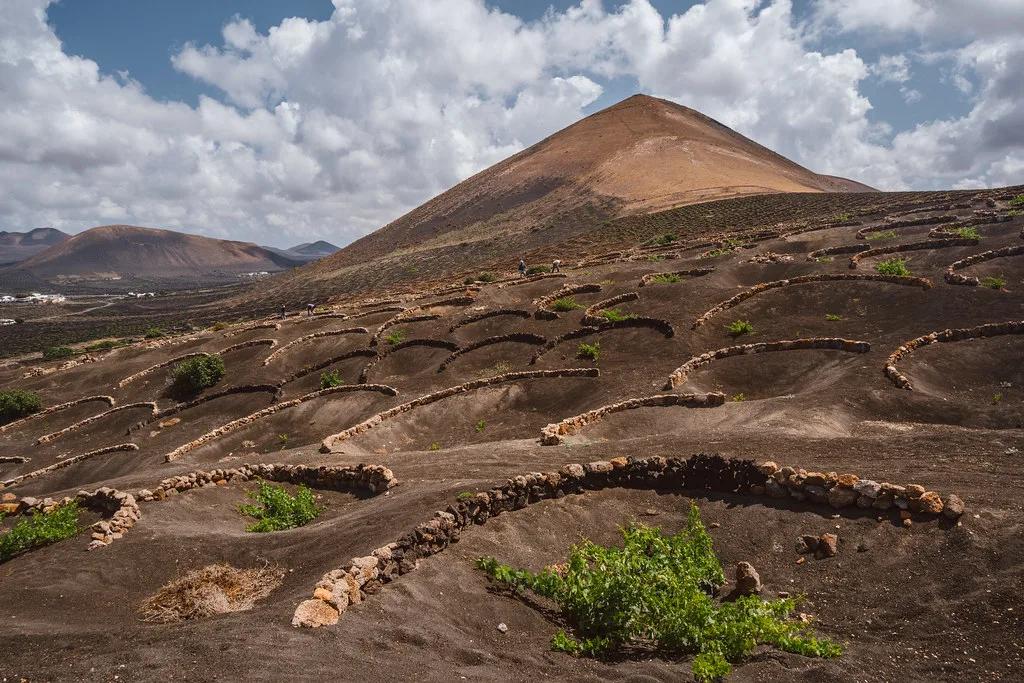
The eruption people remember began on 19 September 2021 on the Cumbre Vieja ridge and was declared over on 25 December 2021. It built the cone now known as Tajogaite and covered farmland and homes on the western side. Our guide to the Tajogaite eruption covers what happened and what you can see today.
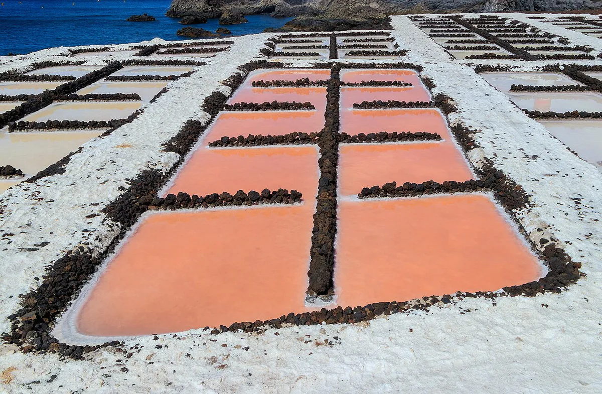
Since then the island has reopened to visitors, and the volcano is monitored continuously. INVOLCAN, the Canary Islands volcanology institute, publishes current volcanic monitoring information. A quiet alert level means no restrictions on normal sightseeing.
For background on how the island formed and where it sits geologically, read our overview of La Palma's volcanoes. Our page on the Cumbre Vieja ridge explains the ridge that runs down the south of the island.
Is the La Palma tsunami warning real?
A viral claim says a Cumbre Vieja collapse could send a mega-tsunami across the Atlantic. It spreads fast, and it is the reason many people search this question. The scenario comes from a theoretical study, and later research has questioned its assumptions about how a flank could fail.
The 2021 eruption did not trigger anything of the kind. For a visitor, this is not a planning factor. If an official warning is ever issued, follow the Canary Islands civil protection instructions. Our page on the La Palma tsunami claim sets out the evidence without the sensational framing.
Areas to treat with caution
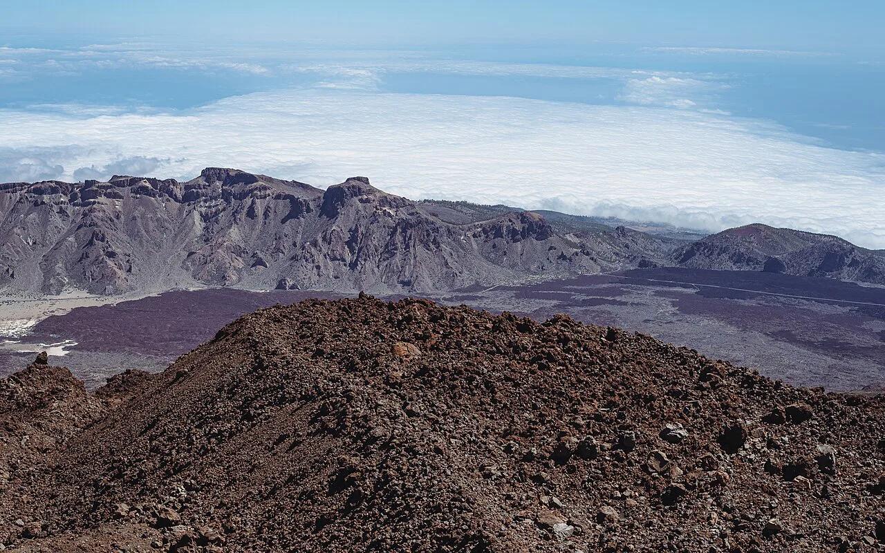
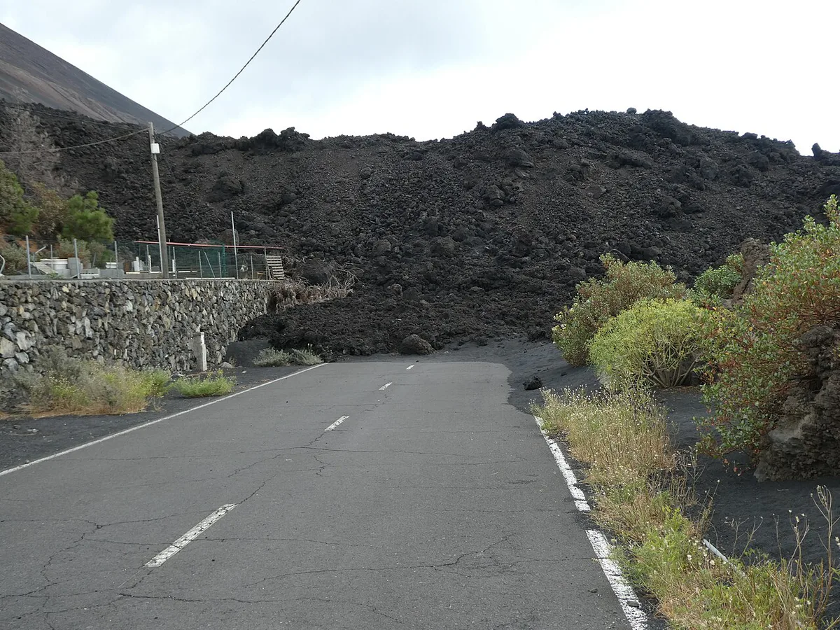
The area hit by the 2021 lava flows is the part of the island that needs the most care. Some zones on the west side, including parts of the Puerto Naos and La Bombilla coast, have had volcanic gas problems and access restrictions since the eruption. Rules there have changed over time, so check current local notices before you plan a stay or a day trip.
Lava-zone rules are still changing even though the eruption was declared over on 25 December 2021.
If you want to understand what the eruption destroyed, the Todoque area is where its impact on a village is easiest to grasp. Stay on open roads and marked viewpoints. Never enter fenced or signed-off ground, however tempting a lava-field shortcut looks.
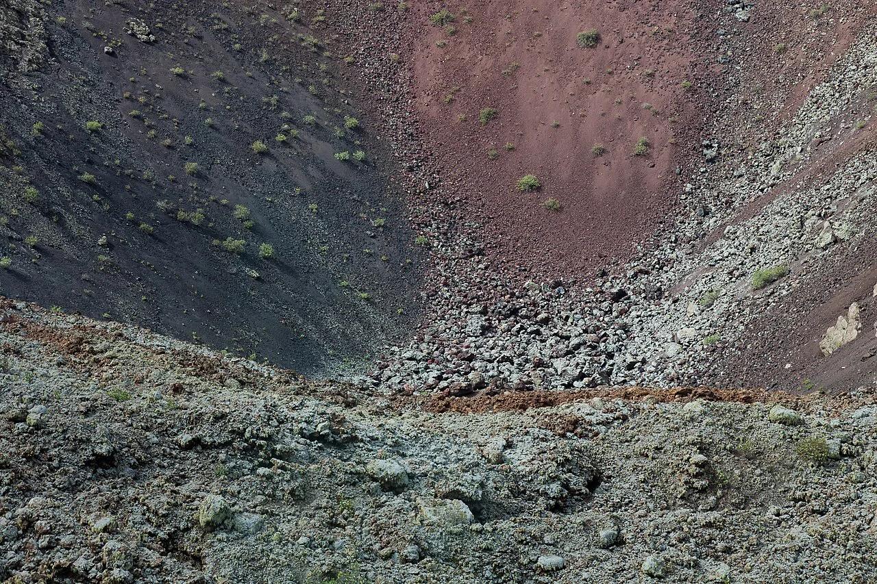
Crater walks follow the same logic. Our guide to San Antonio Volcano (La Palma): Visit Guide & Tips describes a rim walk near Fuencaliente. Keep to the path, stay back from loose edges, and skip exposed rims in strong wind.
Hiking and mountain safety
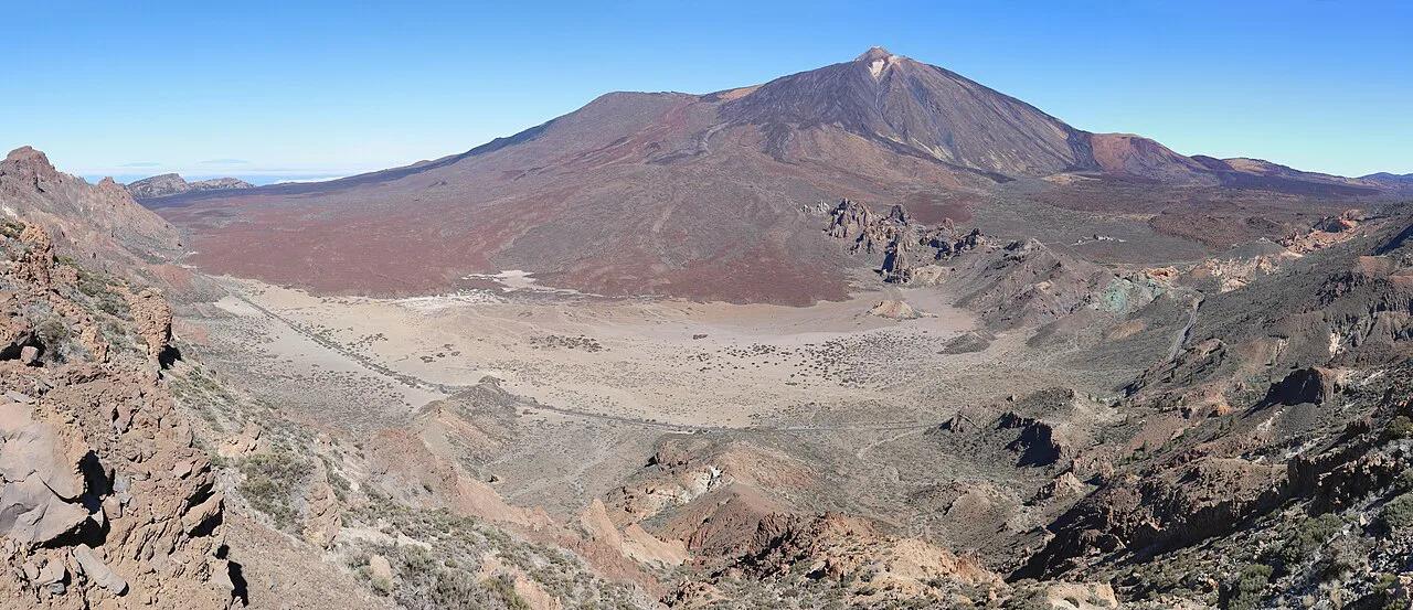
Hiking is where most visitors take on genuine risk. Trails are steep, surfaces can be loose volcanic gravel, and weather changes sharply with altitude. A sunny coast can sit under cloud at the ridge, and temperatures drop fast after sunset.
The long traverse of the Ruta de los Volcanes is a full-day walk. Start early so you finish in daylight. Carry water, a warm layer and a charged phone with an offline map, because signal is patchy.
The Caldera de Taburiente National Park has its own access rules. Check permit and reservation requirements with the park authority before you go, and follow any trail closures after rain or wind. If a walk feels too long for the weather, turn back.
Summit visits follow similar logic. Roque de los Muchachos: Visiting La Palma's Summit is the island's high point and can be cold, windy and cloud-covered even on a mild day. The Roque De Los Muchachos Observatory operates at the summit, and visits to it follow its own rules.
Only consider Cueva de las Palomas: Location, Access and Virtual Visit once you have confirmed that its trail is open, since conditions there can change.
Driving and getting around
Roads are narrow and winding, with sharp bends, steep drops and few barriers on some mountain stretches. Fog can reduce visibility at altitude, and rain or wind can close roads at short notice. Drive slowly, leave extra time, and avoid mountain roads at night if you are not confident.
A rental car gives the most freedom, especially for the summit and the south. Buses and guided tours suit travellers who dislike mountain driving. For the summit and the caldera in particular, a guided trip removes the biggest road and navigation worry.
Fuel up before heading into the high interior, and never rely on phone maps alone in cloud.
Weather, sea and wildfire season
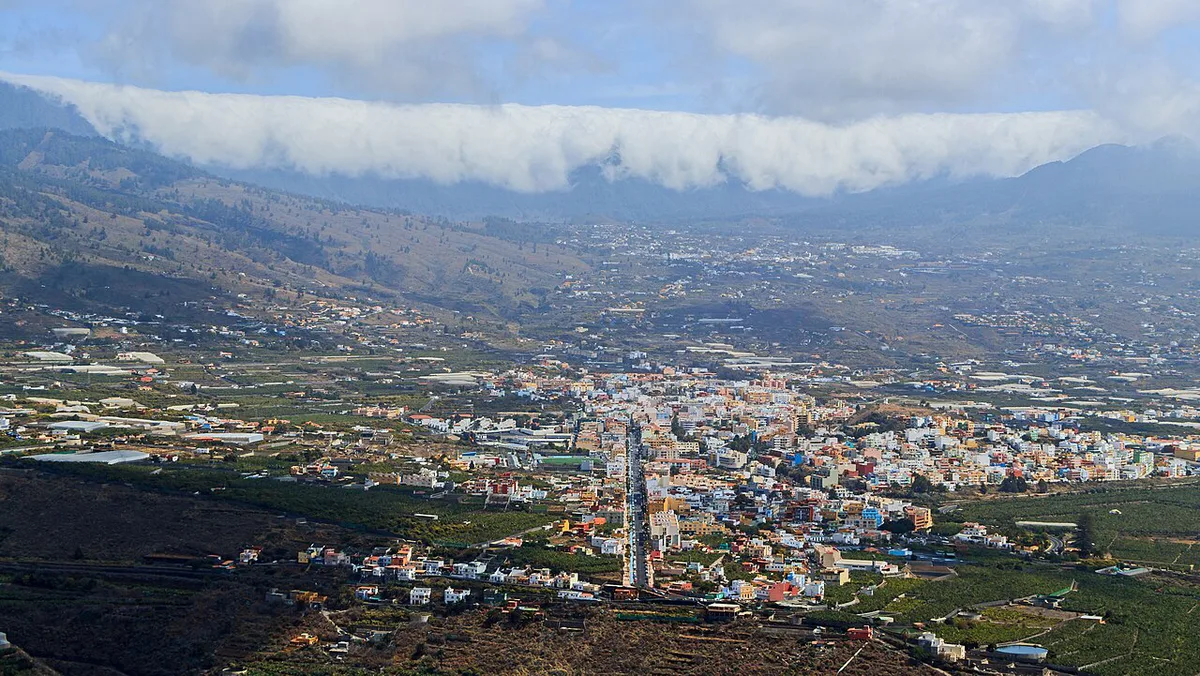
Winter brings rain and wind, which is when landslides, trail closures and road disruptions are most likely. Summer brings calima, a hot dust-laden wind, and the risk of wildfire in dry vegetation. Follow AEMET, the Spanish weather agency, for warnings, and obey any fire restrictions in forests and parks.
The Atlantic here is powerful. Swell and currents can be strong, and black-sand beaches shelve quickly. Swim where there are lifeguards, read the flag colours, and stay out of the water when waves are large. Rocky coastal pools are safer than open shorelines in rough conditions.
Crime, health and emergencies
Crime is not a defining risk on La Palma. Normal city precautions apply: do not leave valuables visible in a parked car, especially at trailheads and viewpoints. Solo and female travellers generally report few problems, but standard common sense after dark still applies.
Program 112 into your phone before a caldera or summit walk, where signal is patchy and help takes time.
The emergency number is 112, and it works across Spain and the EU. Mountain and remote areas have limited services, so reaching help can take time. Carry travel insurance that covers hiking and medical evacuation. Visitors from the EU should carry an EHIC, and UK visitors a GHIC, but neither replaces insurance.
Santa Cruz de la Palma and Los Llanos de Aridane are the island's main towns, and both have pharmacies. Stock up on any prescription medicines before you head into remote areas.
If you plan to stargaze, remember the La Palma Stargazing: Best Spots, Tours & Planning Guide sites are high, cold and dark. Bring warm clothing and drive down slowly.
Is La Palma safe for you? Quick fit table
Use this table to match your situation to the right approach.
| Traveller | Best approach |
|---|---|
| Families | Stick to short, well-marked walks and beaches with lifeguards |
| Seniors | Base yourself on the east coast and use guided tours for the summit |
| Solo hikers | Tell someone your route, start early and carry an offline map |
| Drivers who dislike mountain roads | Choose a guided tour or coast-based itinerary |
| Respiratory or mobility concerns | Check gas notices on the west side and avoid steep, uneven trails |
Pre-trip safety checklist
Run through these checks a few days before you travel.
- Check the current volcanic alert level with INVOLCAN.
- Look up AEMET weather warnings for your travel dates.
- Confirm Caldera de Taburiente permit and trail status with the park authority.
- Review current visitor information on the official La Palma tourism site.
- Save 112 on your phone and buy travel insurance that covers hiking.
- Download offline maps and tell someone your route.
Frequently Asked Questions
Is Spain a safe place to visit?
Spain is generally a safe destination for visitors. Petty theft is the most common issue in busy areas. Check your own government's current travel advice before you go.
Is La Palma island worth visiting?
Yes, if you like hiking, volcanic landscapes and dark skies. The island rewards walkers and stargazers more than beach-resort travellers.