San Antonio Volcano (La Palma): Visit Guide & Tips
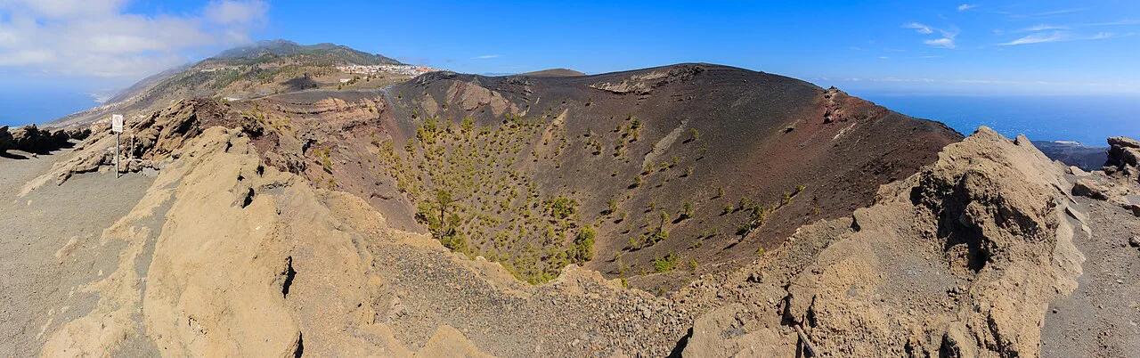
Last updated November 2026: San Antonio volcano is Volcán de San Antonio, a crater beside Fuencaliente at the southern end of La Palma in the Canary Islands. It suits a short rim walk with big views and pairs easily with neighbouring Teneguía. This guide covers access, the rim walk, safety and how the three best-known southern volcano sites compare.
Featured image: Llez, CC BY-SA 3.0, via Wikimedia Commons.
San Antonio Volcano at a Glance
Volcán de San Antonio sits in the Fuencaliente area of southern La Palma. Visitors come for a crater-rim path, the visitor centre area and sea views. For wider context, start with our island's volcano overview. Teneguía is a separate cone nearby, and it erupted in 1971. This page covers the La Palma volcano, not a similarly named place elsewhere.
- What it is: a volcanic crater with a walkable rim path in the Fuencaliente area.
- Where: southern La Palma, close to Fuencaliente village.
- Best for: travellers who want a short volcano stop with panoramic views.
- Skip or swap if: you only have time for one volcano and prefer a longer trail.
How to Get There and Where to Park
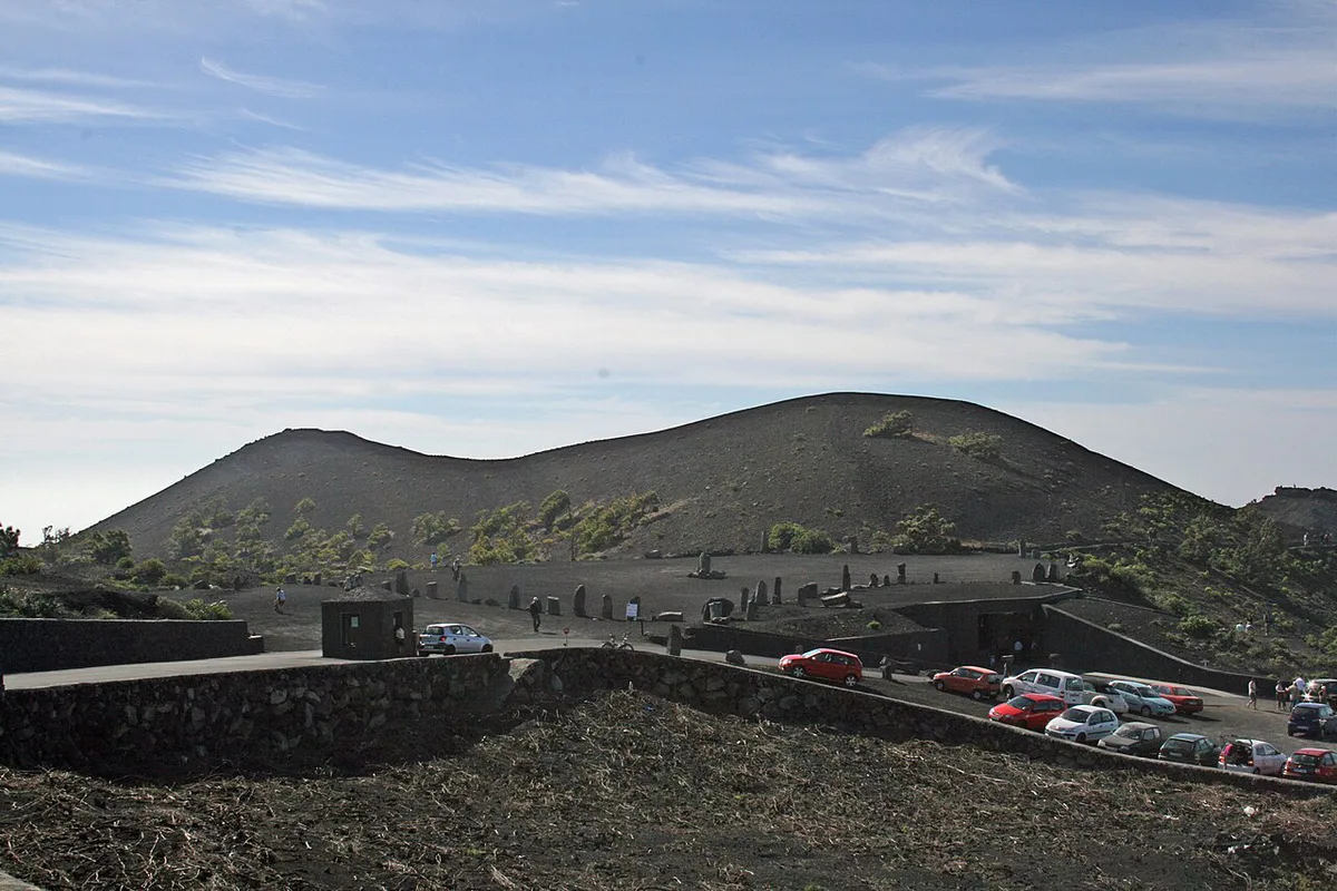
Fuencaliente is the nearest village, and a car is the simplest way to reach the crater area. For bus routes, taxi options and parking rules, check current details with Visit La Palma.
Walking the Crater Rim
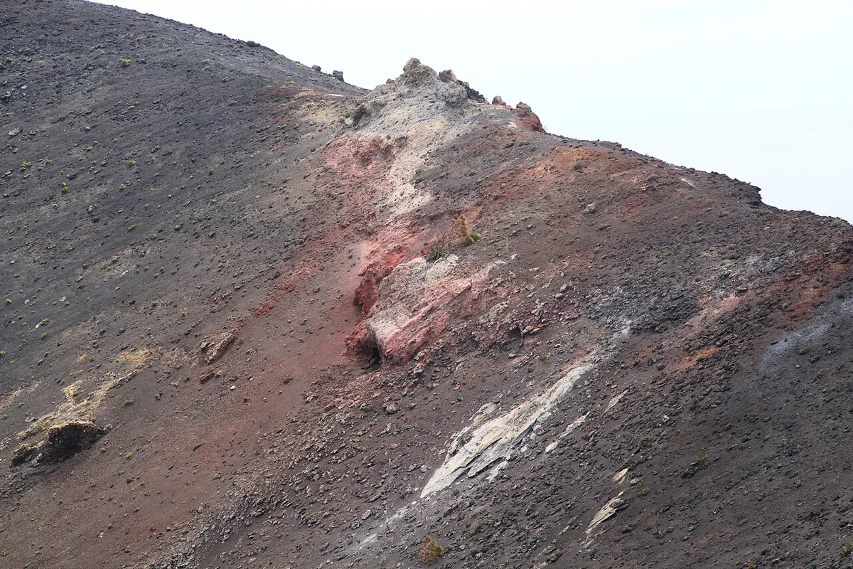
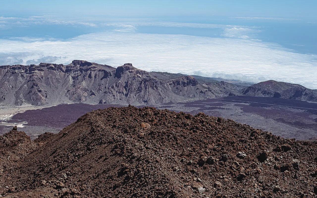
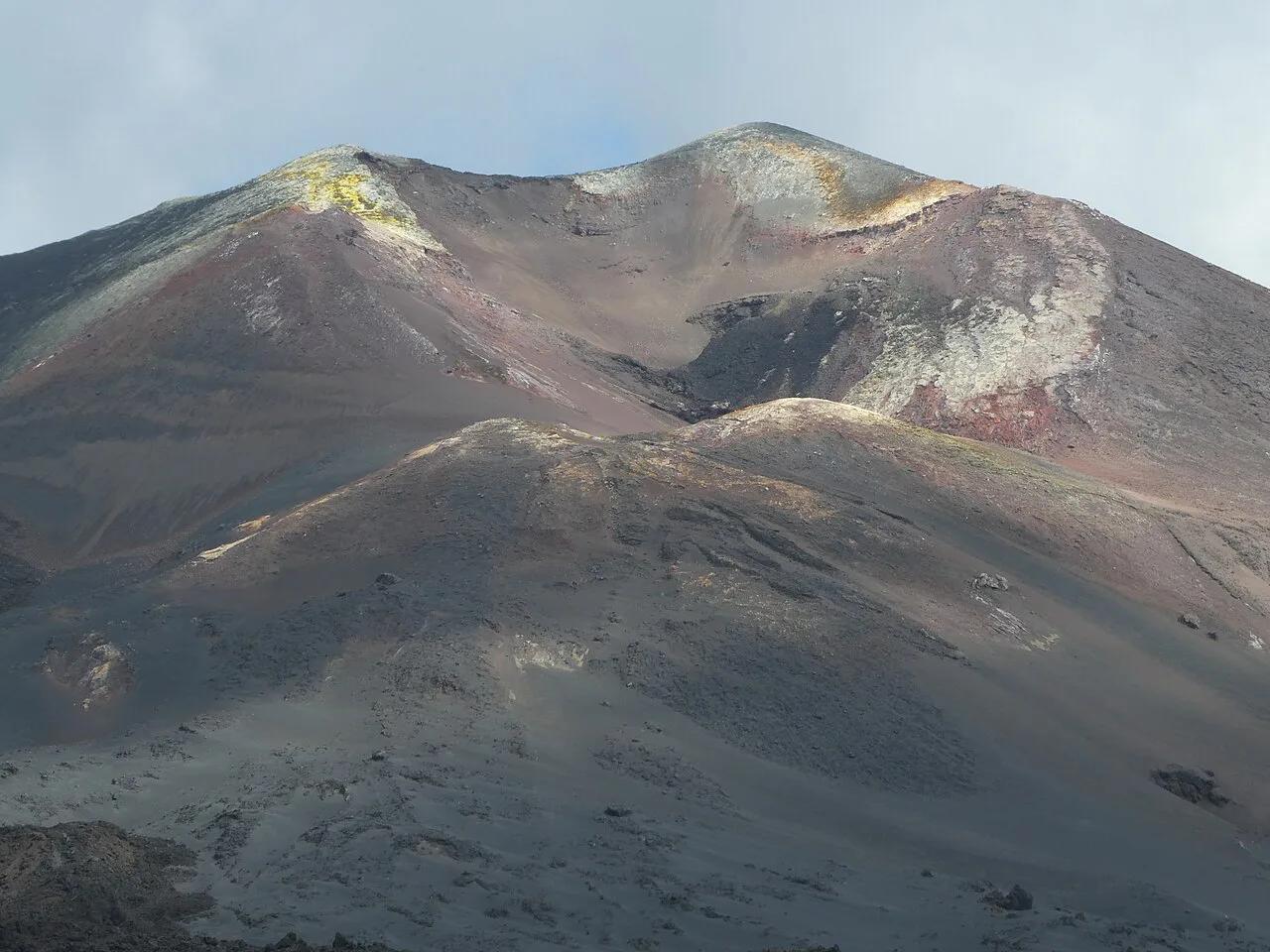
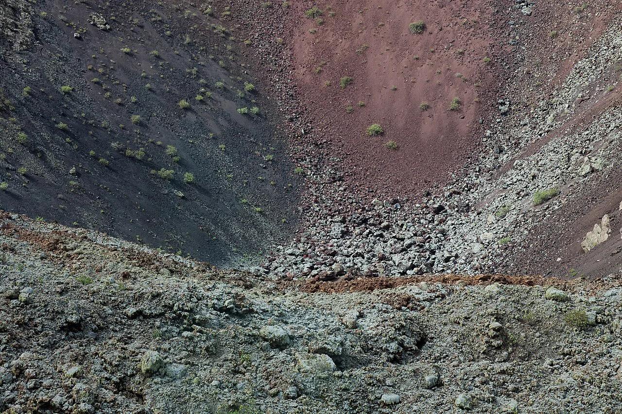
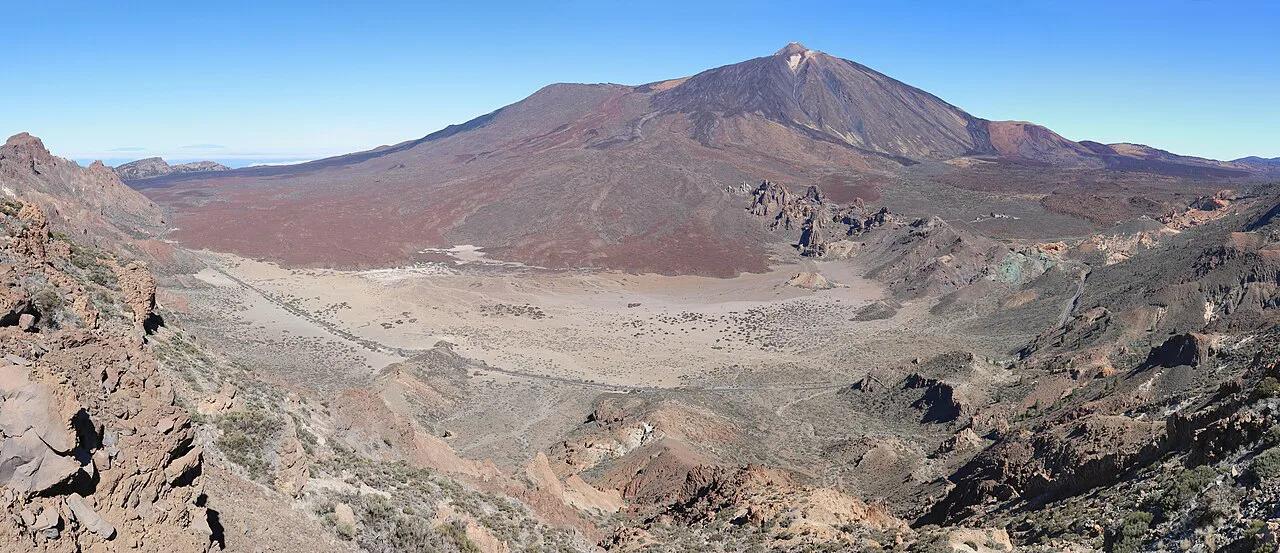
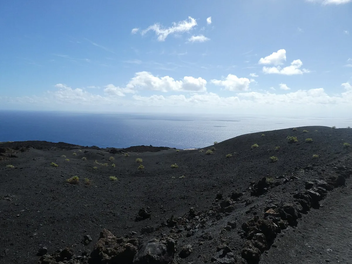
The rim path gives you a look down into the crater and out across the Atlantic. On clear days you also see the dark cone of Teneguía and the lava-covered ground around it. Footing on volcanic gravel can be loose, so wear shoes with grip. Route length and walking time are listed by the site managers, and a quick stop at the visitor centre area will tell you the current path status.
Costs, Access and Opening Hours
Entry fees, opening hours and visitor-centre access are set by the site managers and can change. Check official La Palma tourism information for the current position.
San Antonio vs Teneguía vs Tajogaite: Which to Visit
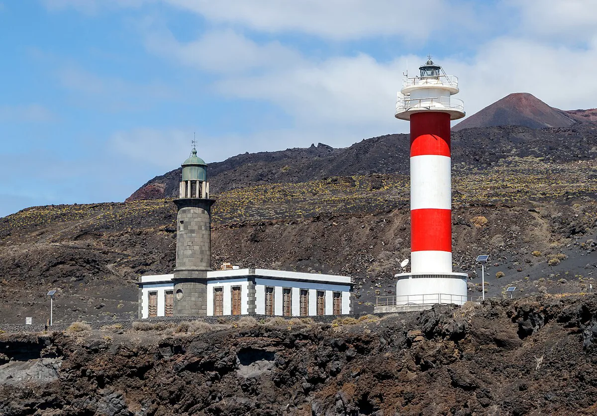
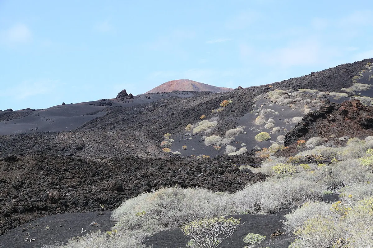
Teneguía erupted in 1971 and lies in the same southern area as San Antonio. Tajogaite is a different story, because it erupted in 2021. Read our 2021 Tajogaite eruption guide for that event. It formed along the Cumbre Vieja ridge, which links the island's southern volcanic system. The affected-area story is in our Todoque village guide. Choose San Antonio for an easy crater walk, Teneguía for a recent cone, and Tajogaite for the most recent eruption.
| Site | Area | Eruption | Best for |
|---|---|---|---|
| San Antonio | Fuencaliente, southern La Palma | See IGN for history | Short rim walk and crater views |
| Teneguía | Fuencaliente area | 1971 | Seeing a recent cone and lava fields |
| Tajogaite | Cumbre Vieja, west side | 2021 | Understanding the latest eruption |
- Skip San Antonio if you want a long hike; the Ruta de los Volcanes is better.
- Skip it if cloud covers the south, because the views are the main reward.
- Do not assume it is the same site as Teneguía.
Best Time to Go, Weather and Safety
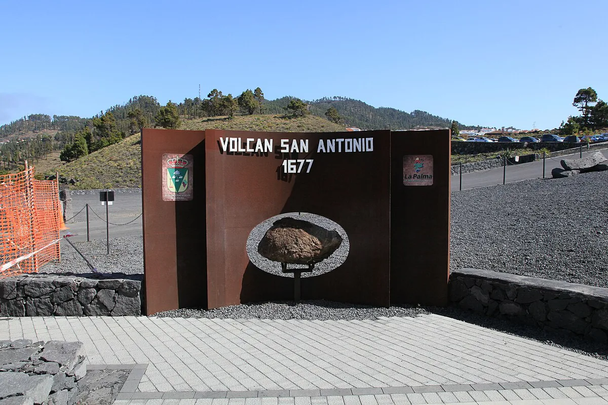
Wind and cloud decide how good the rim feels. Start with a clear morning if you can, and bring a windproof layer. For context, read our guide to safety on La Palma. Current volcanic status is published by INVOLCAN. Avoid arriving without checking access, and do not ignore wind on the exposed rim.
Combine It with a Day in Southern La Palma
Pair San Antonio with Teneguía and Fuencaliente for a half day in the south. For a longer walk, the Ruta de los Volcanes trail follows the volcanic chain. After dark, La Palma Stargazing: Best Spots, Tours & Planning Guide is a natural next step. You can also read about Roque de los Muchachos: Visiting La Palma's Summit, home to the island's observatory.
Frequently Asked Questions
What is the nearest volcano to San Antonio?
On La Palma, Teneguía is the nearest cone to San Antonio, in the same Fuencaliente area. Treat them as two separate sites, and see the Ruta de los Volcanes trail for more.